Kananaskis, AB, Canada
6 February 2022
Solo
Ridgewalking and fence hopping
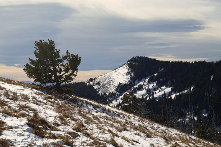
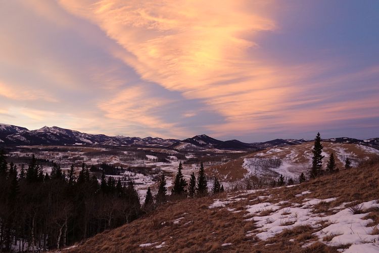
Despite all the snow wading I had to do on Horseshoe Peak trip a week earlier I decided to come back to the foothills of the Livingstone Range and give Whaleback Ridge a try. The real appeal of the area to me lies in the somewhat rugged beauty of its landscape combined with the lack of people. It’s a bit of a drive from Calgary, but you’re almost guaranteed to have it all to yourself!
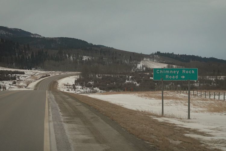
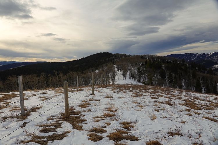
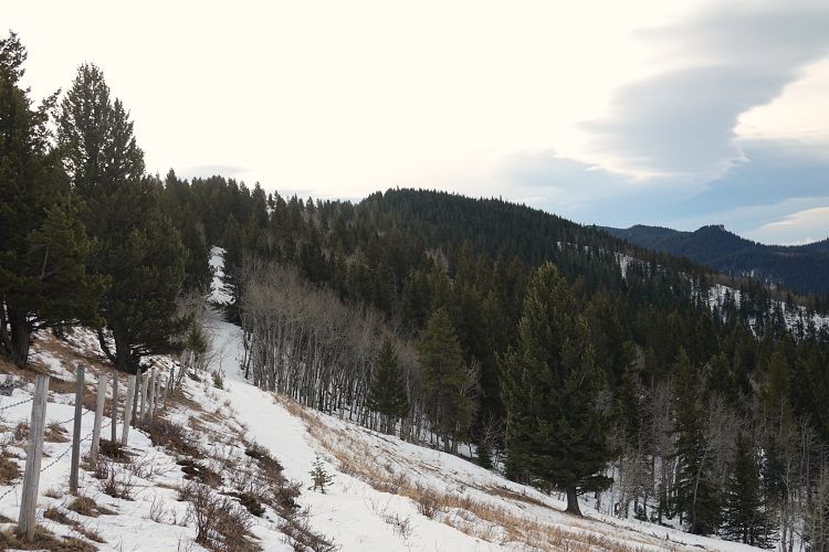
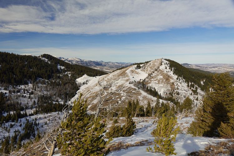
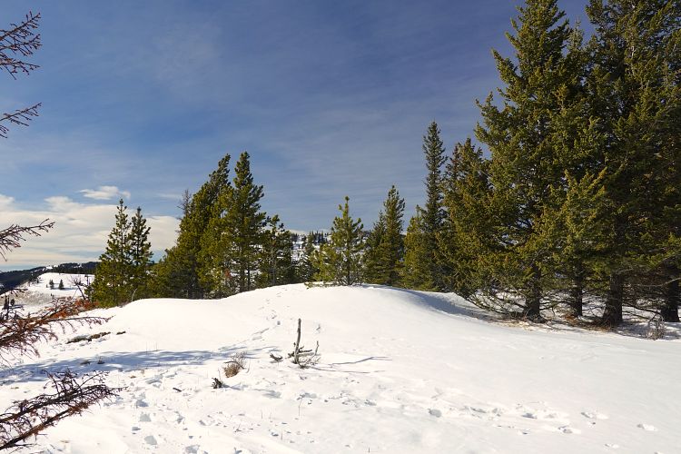
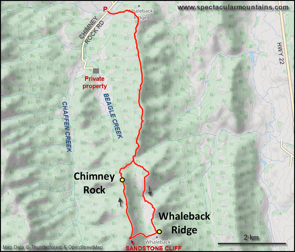
The Whaleback is a popular hike in summer and most people seem to approach it from the south where more trail options exist. I drove in via a small gravel road (Chimney Rock Road) to the northern end for a long and enjoyable walk on this undulating ridge. Thankfully the snow wasn’t too bad today. The only issue I faced were the numerous barbed wire fences in and around the ridge. There aren’t any at the beginning (or at least they’re avoidable), but later on I had to cross a fence several times that seems to run near the crest of the ridge. After a few kilometres this fence starts to be partially down, so it becomes easier the further away from the road you go.
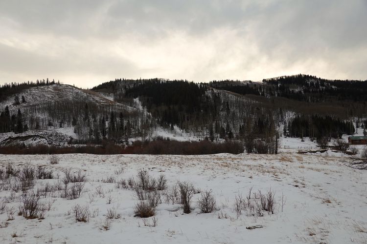
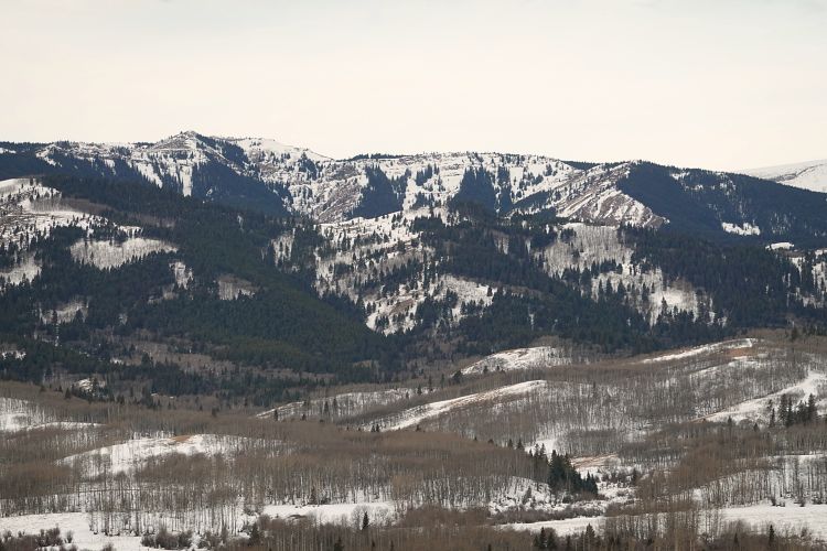
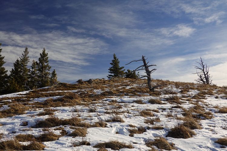
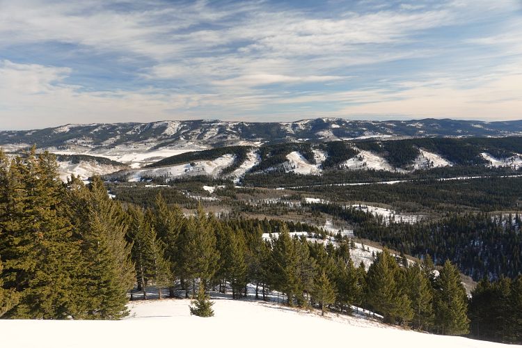
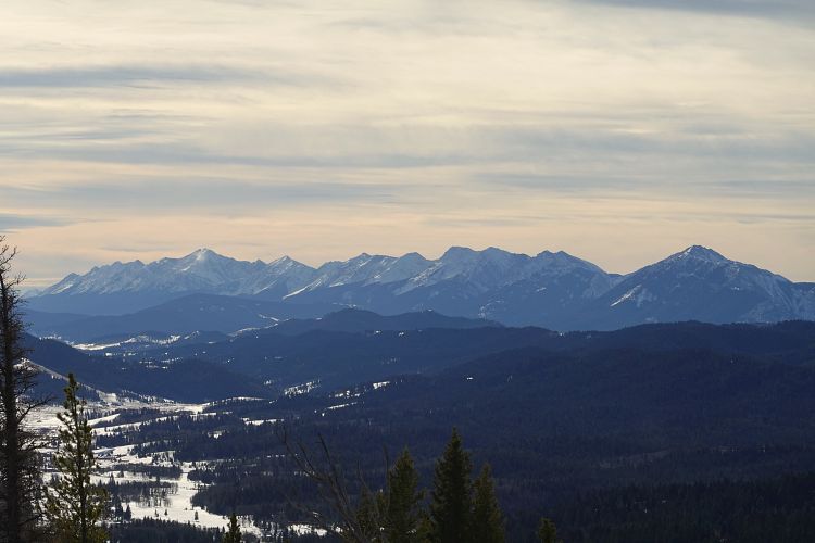
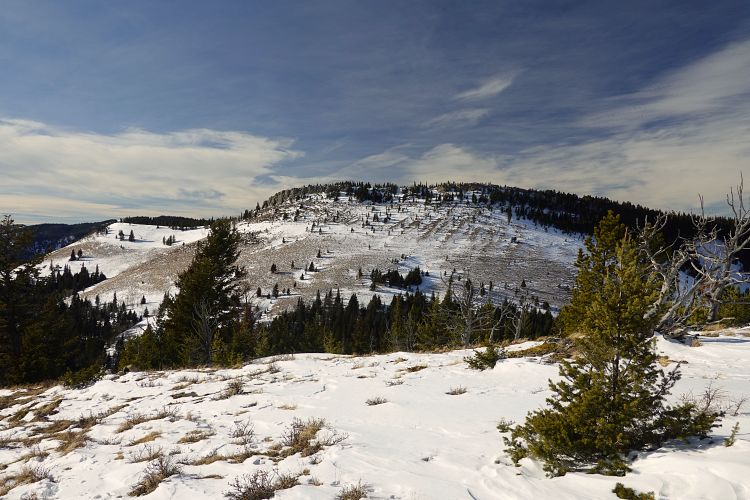
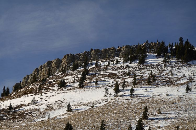
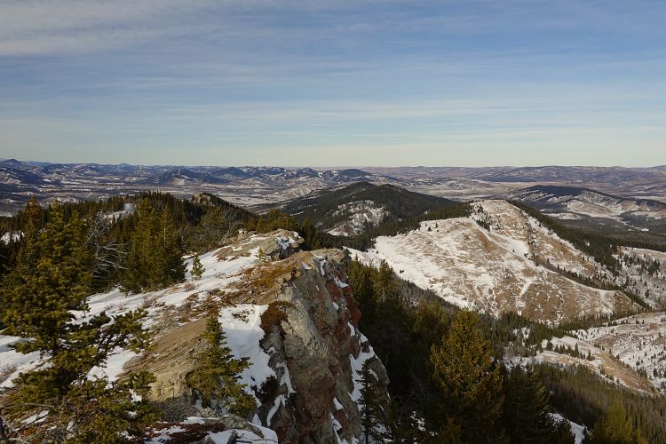
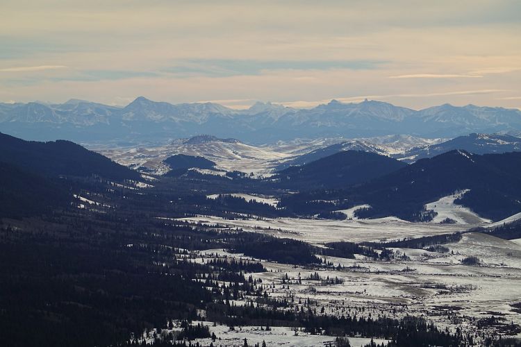
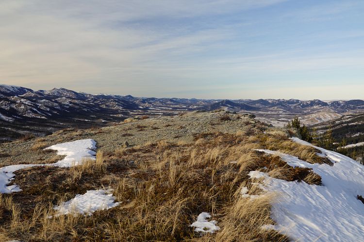
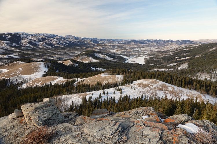
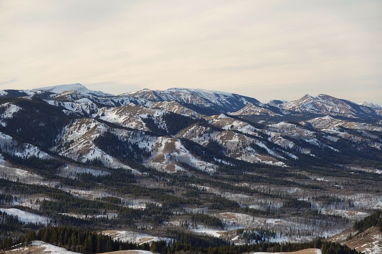
There are two major dips that dissect the ridge en route to the true summit, forcing you to lose and regain a bit of elevation, which explains the fairly sizable final elevation gain tally. Knee-deep snow slowed me down in these dips, but on the ridge top I was generally able to make good progress. The views didn’t change much during the whole trip: gently rolling hills blanketed in a patchwork of evergreen trees and small grassy clearings. Other than the odd rusty fence there were few signs of human presence.
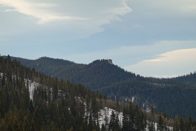
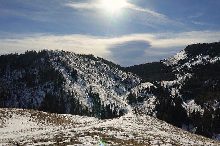
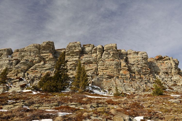
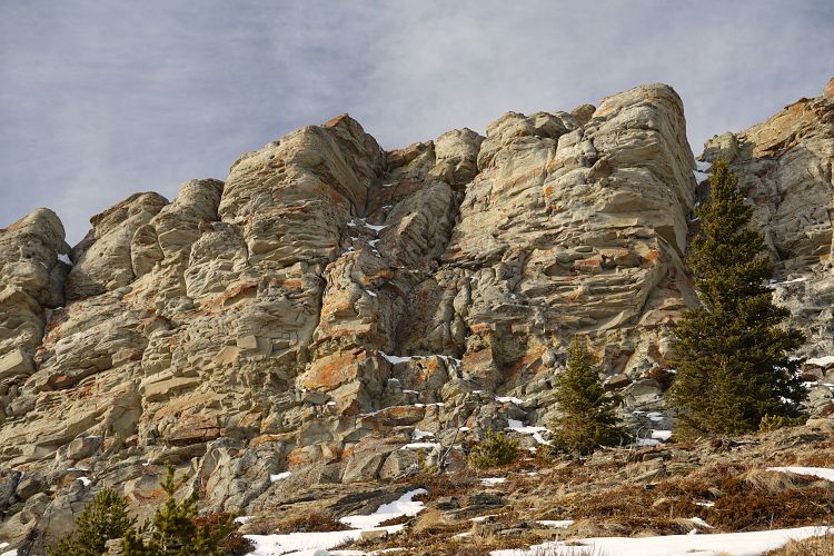
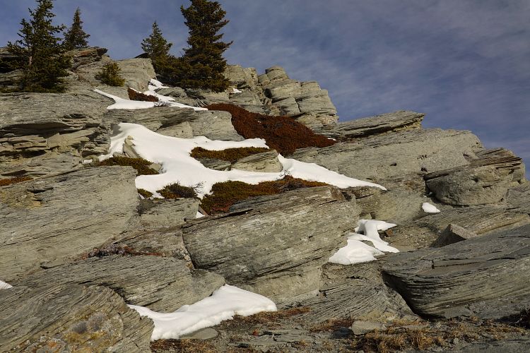
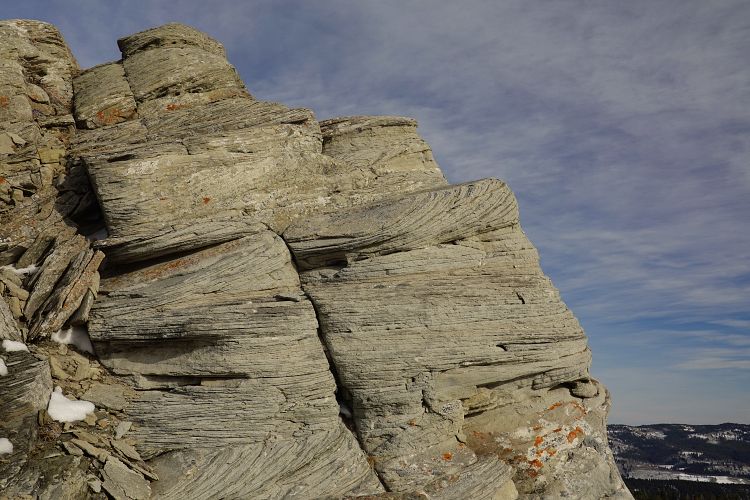
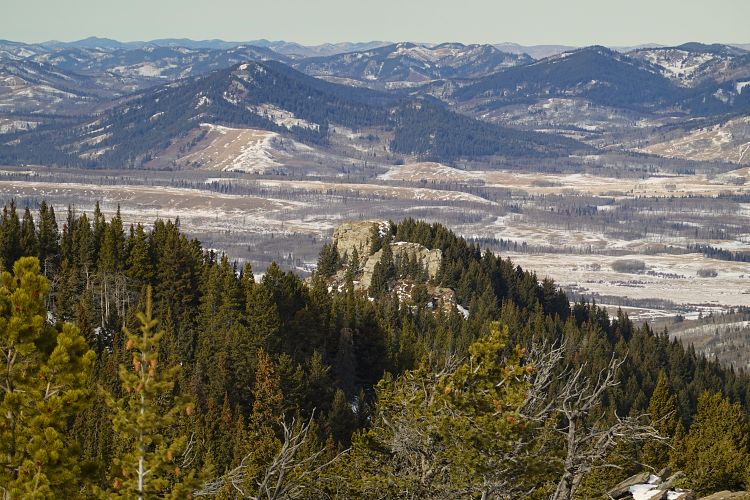
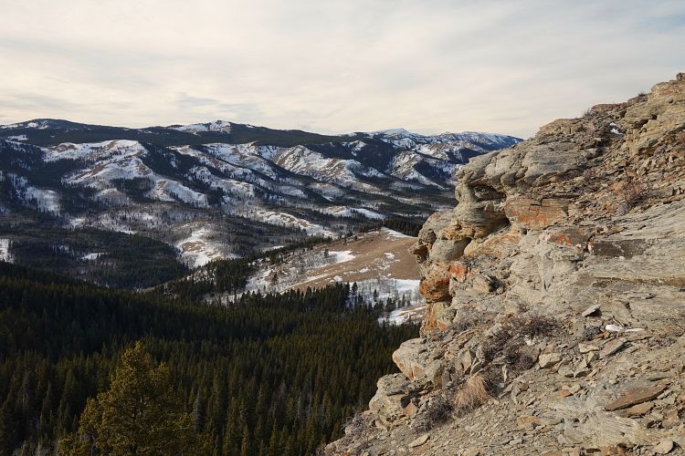
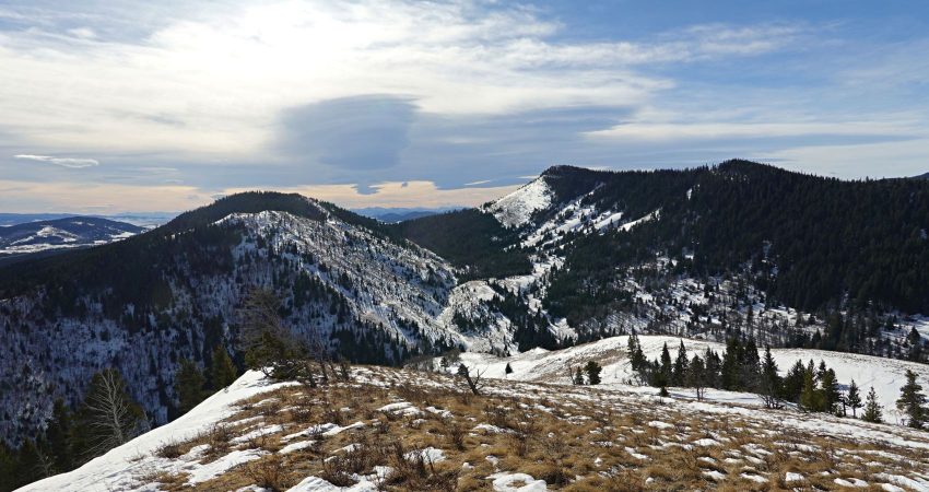
Despite its fairly low elevation, Whaleback Ridge is actually a proper ridge, whereas Chimney Rock is basically just a prominent rock outcrop at the northern end of a parallel ridge just to the west. There is an easy and short connection from Whaleback Ridge’s true summit to this parallel ridge. You can drop down grassy slopes west of the summit to a broad saddle, then trudge up to the top of the parallel ridge just left (south) of a distinctive cliff of sandstone. There are some really interesting examples of very well-defined cross-stratification preserved in the rock here, pretty neat to look at!
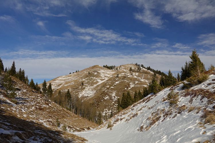
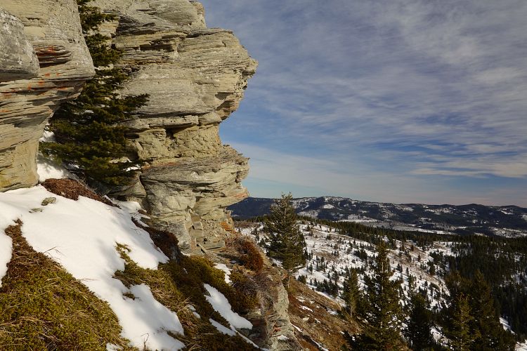
Chimney Rock summit is a short walk further north, some of it with great open views, some of it entailing light bushwhacking. The Rock itself is a quick and very easy scramble to the flat top from where you can see the remote Chimney Rock Ranch in the valley below. After taking a short break I tried to climb down the north side but decided it was smarter (and much easier) to backtrack a bit and then contour around the west side. I entered the forest again and then hiked the remaining part of the ridge down to the small valley separating Chimney Rock and Whaleback Ridge. I wasn’t sure if I was going to run into private land and no trespassing signs in the valley stretching north around Beagle Creek, so I thought the safest way back was to go up Whaleback Ridge again and retrace my steps from the morning to get back to my car.
NOTE: This GPX track is for personal use only. Commercial use/re-use or publication of this track on printed or digital media including but not limited to platforms, apps and websites such as AllTrails, Gaia, and OSM, requires written permission.
DISCLAIMER: Use at your own risk for general guidance only! Do not follow this GPX track blindly but use your own judgement in assessing terrain and choosing the safest route. Please read the full disclaimer here.