Kananaskis, AB, Canada
31 October 2021
With Richard
Tedious forest hike with surprise views at the end
Allsmoke Mountain in Kananaskis is one of those destinations that I had reserved for a shoulder season or winter day when I conditions wouldn’t allow a more serious climb deeper in the mountains. Today was practically the first day of proper winter conditions with 20-30 cm of fresh snow and a morning temperature of -15 degrees. So it was either stay in the city, or go for an easy foothills hike.
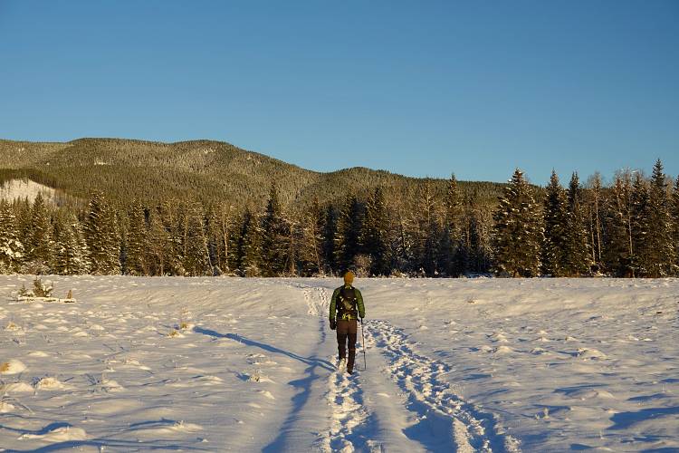
We drove in via Millarville and, coming from the north, parked at the end of the Gorge Creek Road right before a locked gate. A large portion of this road starting at the gate has been decommissioned and is now permanently closed to vehicle traffic.
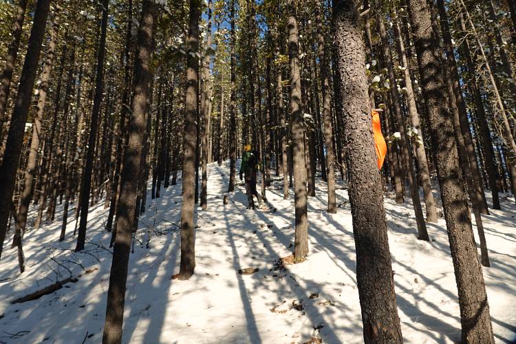
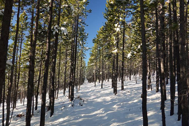
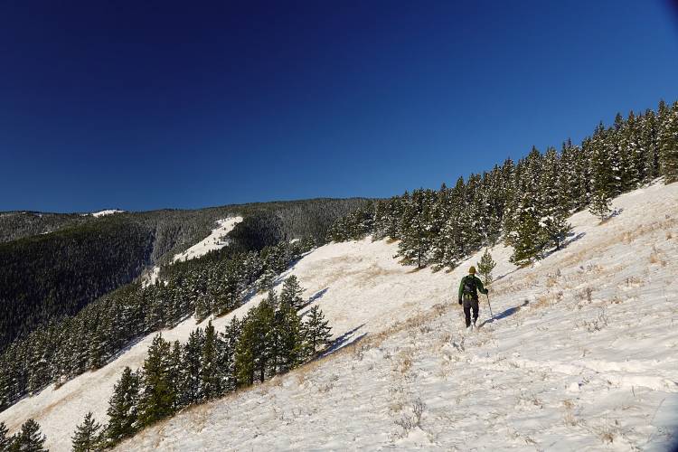
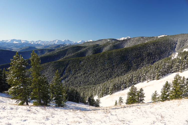
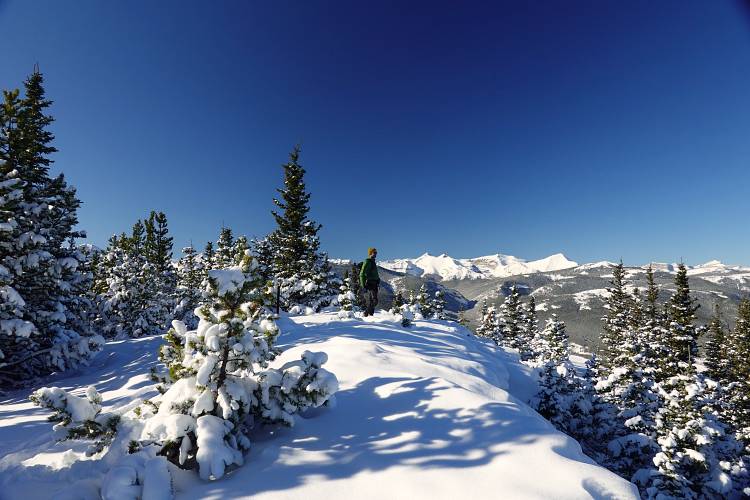
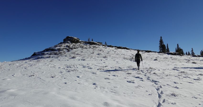
The normal route up Allsmoke follows several trails and cutlines in the valley to the east ridge where a faint path steadily rises westward through the forest on the ridge crest (most turn-offs marked by orange flagging). There were basically no views for the first couple of hours and it was a pretty tedious slog until the trail enters open grass slopes on the south side of the ridge where we were finally able to see a bit of the surrounding landscape and the broad summit mass of Allsmoke. We continued to the end of the open slopes, then left the faint tail and headed straight up the forest towards the top.
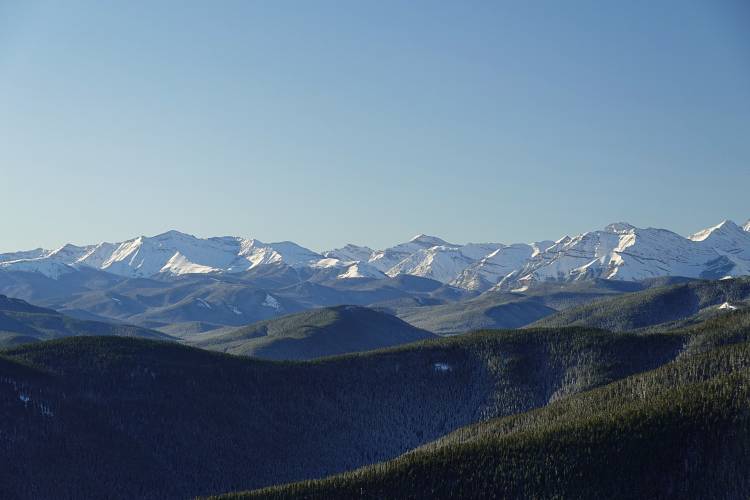
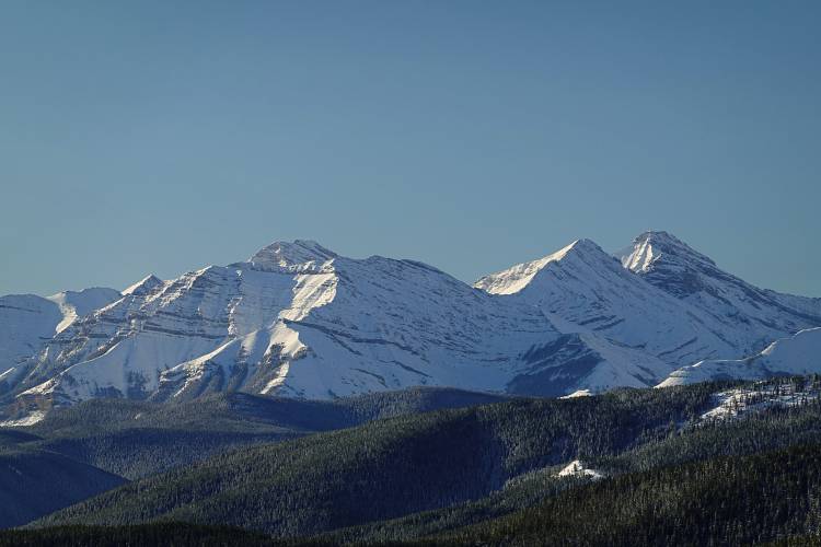
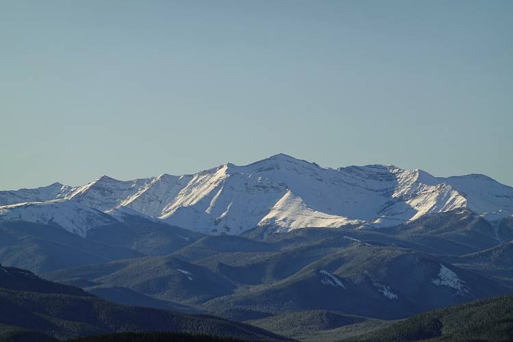
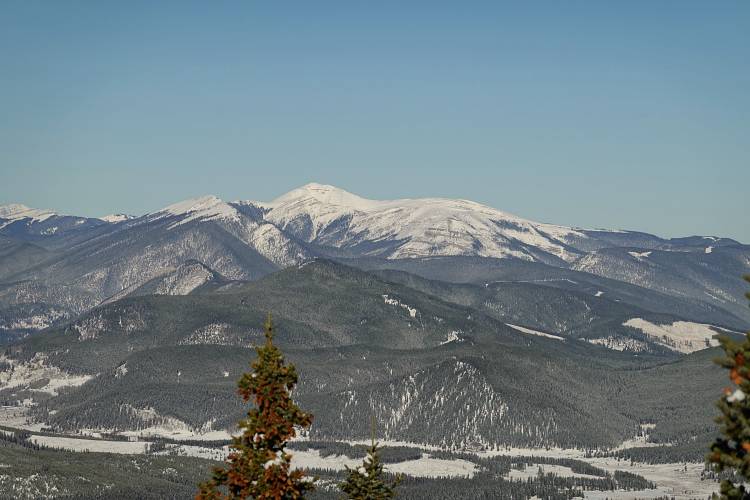
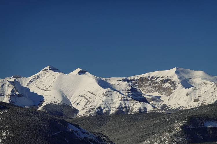
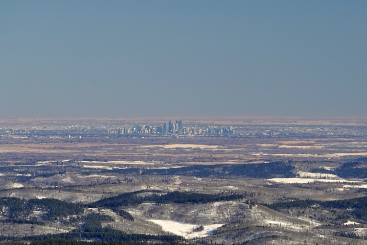
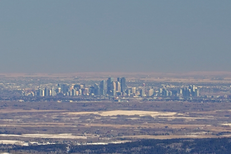
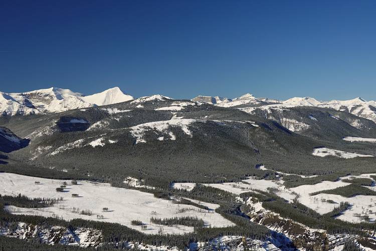
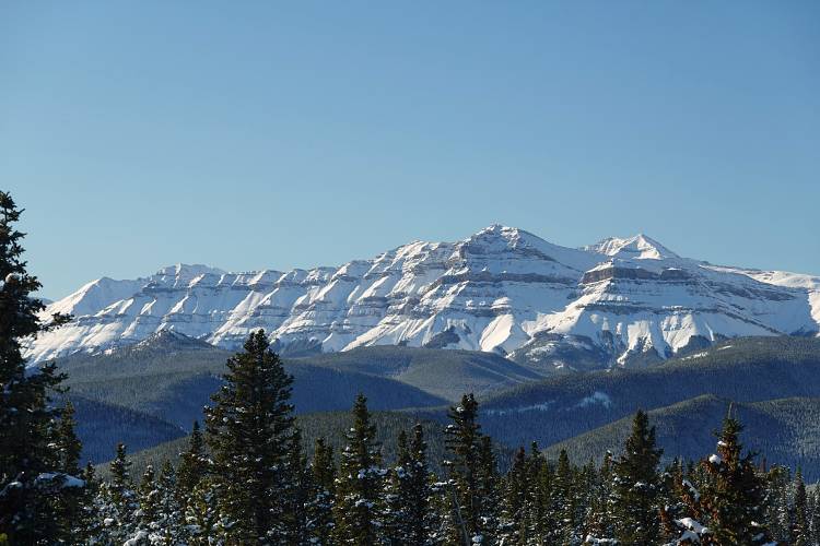
The sweeping panorama that opened up in front of us at the summit with its little cairn and survey markers came as a bit of a surprise to us. It’s a classic Front Range view of everything from Nihahi Ridge in the north to Bluerock Mountain in the south, with Mount Glasgow, Banded Peak and Threepoint Mountain garnering all the attention in the middle. Lower-lying foothills like Mount Quirk and even Forgetmenot Mountain are easily overlooked in the shadow of these bigger peaks.
Since it only took us 3 hours to hike to the summit of Allsmoke Mountain, we thought why not extend our trip “a little” and continue along the ridge south to the high point of Volcano Ridge. A decision that added another 6 hours of hiking to our day!
|
Elevation: |
2105 m |
|
Elevation gain: |
1370 m (Allsmoke & Volcano) |
|
Time: |
9 h (Allsmoke & Volcano) |
|
Distance: |
26.0 km (Allsmoke & Volcano) |
|
Difficulty level: |
Easy (Kane), T2 (SAC) |
|
Activity: |
Hiking |
|
Reference: |
Gillean Daffern’s Kananaskis Country Trail Guide Vol. 4 |
|
Personal rating: |
2 (out of 5) |
NOTE: This GPX track is for personal use only. Commercial use/re-use or publication of this track on printed or digital media including but not limited to platforms, apps and websites such as AllTrails, Gaia, and OSM, requires written permission.
DISCLAIMER: Use at your own risk for general guidance only! Do not follow this GPX track blindly but use your own judgement in assessing terrain and choosing the safest route. Please read the full disclaimer here.