Calgary Foothills, AB, Canada
9 May 2020
With Richard
Mundane forest walk with sporadic surprise views
Once again we found ourselves back in the Foothills on a day that promised to be a mix of moody spring weather. We tried to avoid any snow-prone objectives, having had more than our fair share of deep soft snow on Burnt Timber Lookout and Lusk Ridge recently. Still, we brought our snowshoes just in case and thankfully never had to pull them out of the bag.
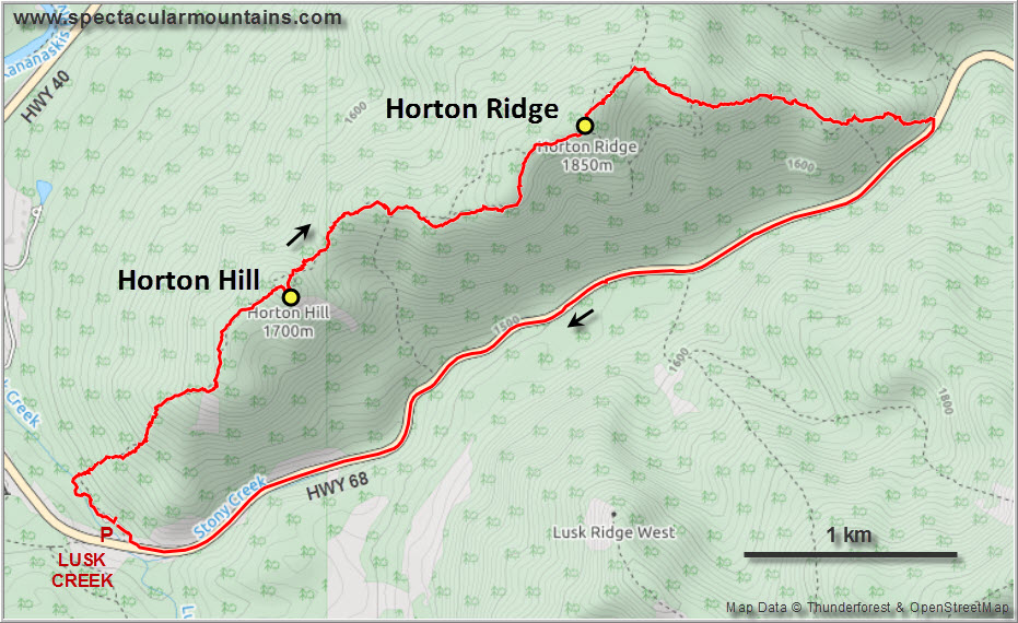
Horton Hill and Horton Ridge are presumably named after the nearby Tim Horton Children’s Ranch, but I’m not sure. The location is convenient as it’s only about a 45 min drive from Calgary, yet it doesn’t seem to see a lot of visitors. Surprisingly, there aren’t even any trails on these hills, despite being right across from super popular Barrier Lake. The lines you see on hiking apps such as Gaia are just someone’s tracks, not actual trails.
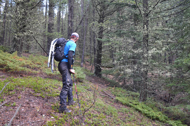
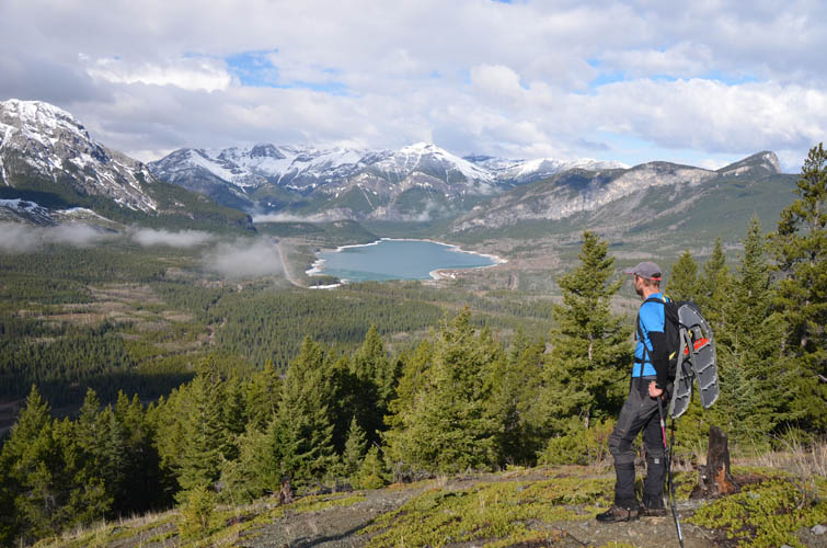
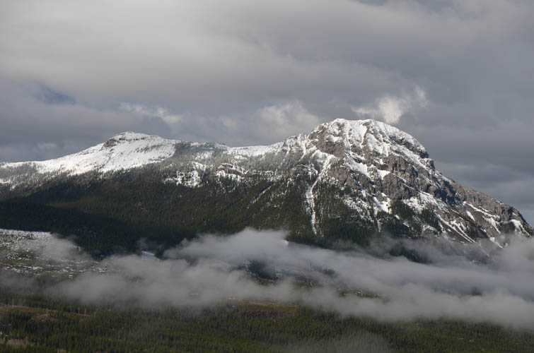
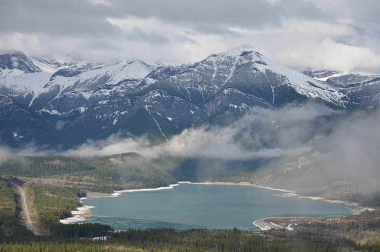
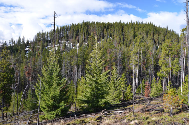
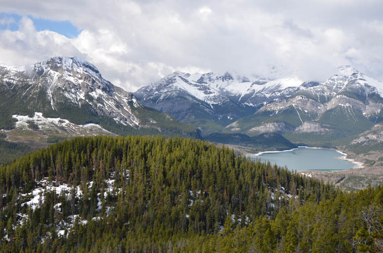
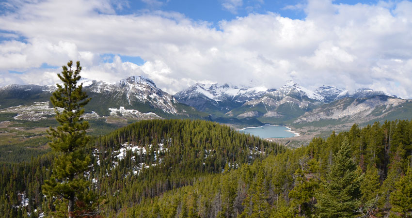
We followed one of these tracks to go up Horton Hill from the Lusk Creek parking lot, mostly through light forest but pretty steep. An easier way would probably be straight up the semi-open slopes that start right by Highway 68 near the parking area. Half-way up the trees briefly give way to open slopes of shale with beautiful views of Barrier Lake and snow-clad peaks behind – a nice surprise. The views here are arguably better than at the summit itself, which is mostly treed. A big metal container with two summit registers shows that this is a fairly often-visited destination after all.
The stretch from Horton Hill to Horton Ridge summit is about 4.3 km in distance and entails moderate to light bushwhacking, with a few sections of deadfall and only a couple or so viewpoints down the south side towards Lusk Ridge. Overall pretty boring and not something we were keen to repeat, especially the section of snow-covered tree trunks just north of Horton Hill. Which is why we decided to return via the road at the end instead of retracing our steps.
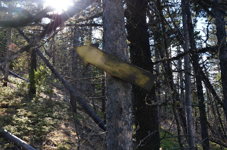
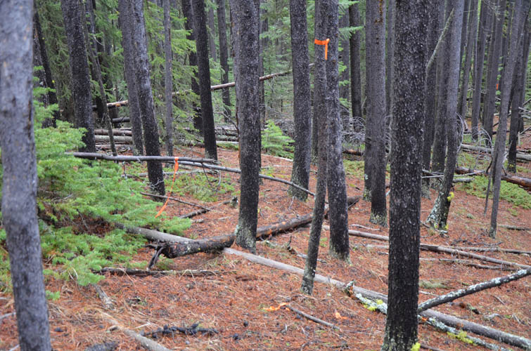
Horton Ridge “summit” is cairned but offers no views, so we quickly proceeded northwards to descend along the ridge. We soon came across something very puzzling: copious amounts of orange flagging, hanging off what seemed like every tenth tree at very short intervals. Plus lots of extra bits just lying on the ground, which we tried our best to pick up along the way. There was a very faint trail here and there, and even the odd cut tree branch, but to call it a trail would be an overstatement. Not that it mattered much anyway, the forest is pretty light in most places here. I’m not against flagging in certain situations, but here someone clearly went overboard littering the landscape with too much plastic.
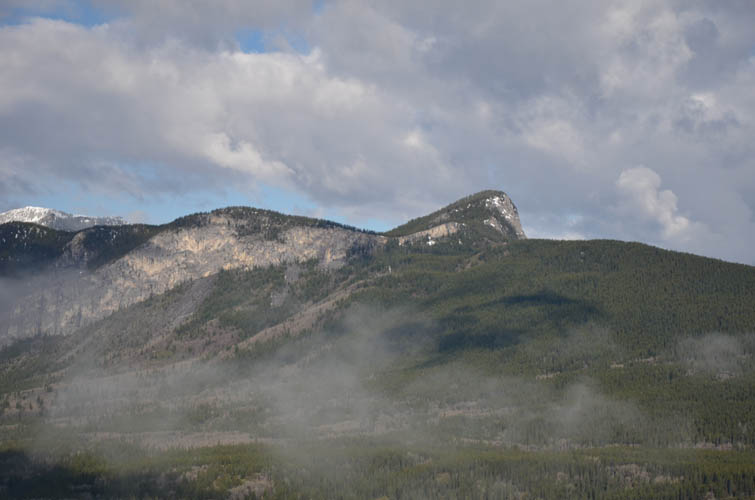
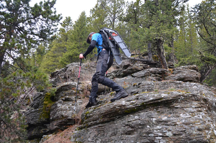
The ridge has a few ups and downs as it curves around to the SE, then it gently descends east towards the road, interrupted by a short section of sandstone steps that provide a refreshing change from the monotony of the forest. Be aware that leaving the ridge too early and heading straight for the road might be tempting but will likely land you steep cliffs that run along the length of the south slopes.
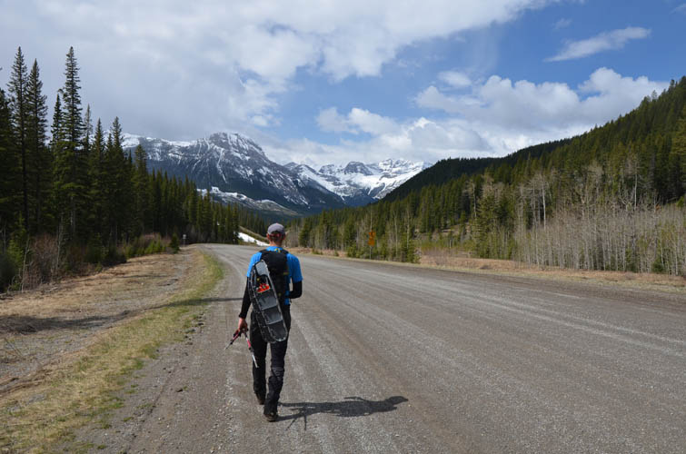
Walking back along Highway 68 wasn’t exciting but a better option than going all the way back along the ridge and traffic wasn’t busy at all. And we even found two unopened cans of beer on the side of the road, although they had probably been sitting there under the snow all winter. Overall a leisurely half-day trip for times like this when the weather is unstable and there’s too much snow around elsewhere.
|
Elevation: |
Horton Hill: 1720 m (my GPS) |
|
|
Horton Ridge: 1850 m (my GPS) |
|
Elevation gain: |
610 m |
|
Time: |
4 h |
|
Distance: |
10.5 km |
|
Difficulty level: |
Easy (Kane), T2 (SAC) |
|
Reference: |
Local maps & own routefinding |
|
Personal rating: |
2 (out of 5) |
NOTE: This GPX track is for personal use only. Commercial use/re-use or publication of this track on printed or digital media including but not limited to platforms, apps and websites such as AllTrails, Gaia, and OSM, requires written permission.
DISCLAIMER: Use at your own risk for general guidance only! Do not follow this GPX track blindly but use your own judgement in assessing terrain and choosing the safest route. Please read the full disclaimer here.