Kananaskis, AB, Canada
13 November 2020
Solo
Short forest hike
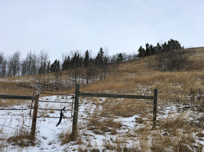
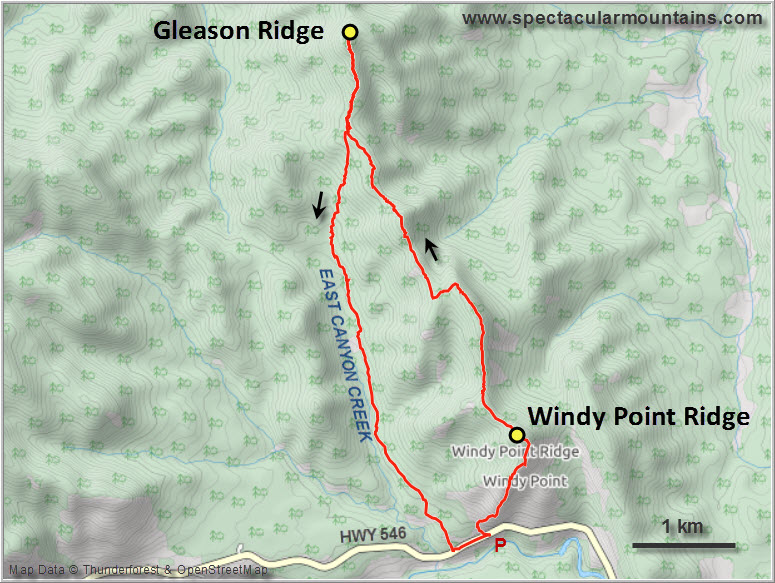
With a fresh layer of snow that fell just days ago I decided to do something short and easy. Windy Point Ridge is both super short and super easy – it’s got to be one of the most easily accessible “summits” directly from a road in all of Alberta, although I know of at least one other that’s even shorter (Poker Peak in the Crowsnest).
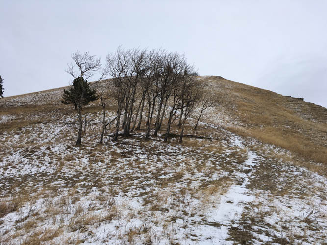
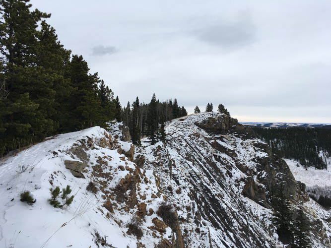
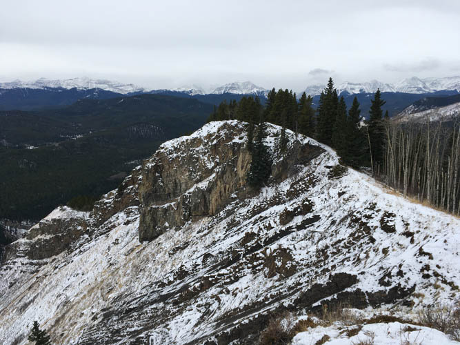
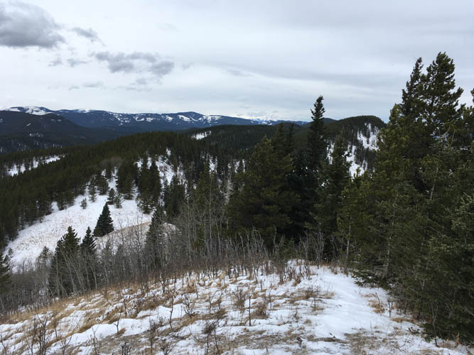
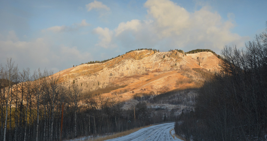
I’ve driven past Windy Point Ridge many times on my way to bigger objectives in the Sheep west of Turner Valley. The south side of the ride is a really neat geological outcrop of Cretaceous clastics that have been folded and faulted into a cliff-like feature. There are probably three or four different ways up, all of them easy but steep hikes. I went up around the SW side on grassy slopes and followed the short but scenic ridge top to the false summit overlooking the road (this is the actual “Windy Point”). The true summit is in the trees a short distance north.
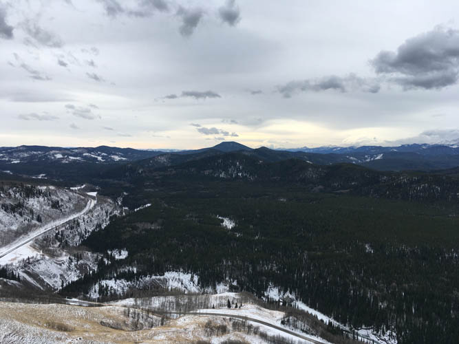
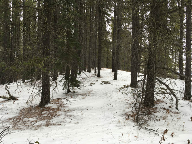
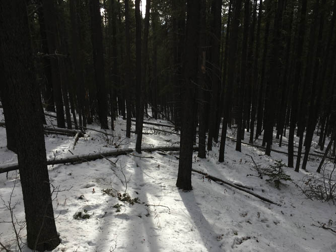
To get to this point only took me about half an hour from the car – too short of course to justify more than an hour of driving from Calgary. For an additional workout, I continued along the ridge which further north is referred to as “Gleason Ridge”. While the views during my hike up Windy Point Ridge had been pretty decent, I was now all in the trees for the rest of the day. I followed the faint trail (occasional flagging) through the forest but I have to admit this was a rather boring affair.
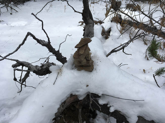
After a few km the trail disappeared and I stumbled through light deadfall, eventually reaching the treed high point of Gleason Ridge. Without any good views to distract myself during my short summit break, I built a small cairn on top of a tree trunk instead.
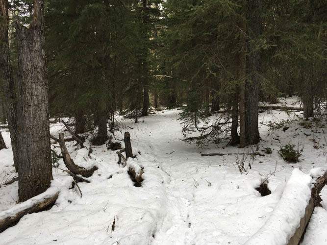
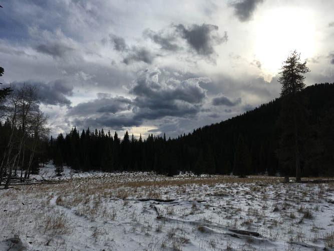
For the return I retraced my route until I was through the deadfall, then made a beeline through the forest heading diagonally down the west side of the ridge into the valley. The forest is pretty light here and was easy to navigate. Down in the valley I found the horse trail mentioned in Daffern’s K-Country Trail Guide and followed it back to the road. My conclusion today: Windy Point is short and fun, Gleason a boring workout hike.
|
Elevation: |
Windy Point Ridge: 1755 m |
|
|
Gleason Ridge: 1812 m |
|
Elevation gain: |
650 m |
|
Time: |
4.0 h |
|
Distance: |
12.7 km |
|
Difficulty level: |
Easy (Kane), T2 (SAC) |
|
Reference: |
Daffern |
|
Personal rating: |
3 (out of 5) for Windy Point Ridge, 1 for Gleason Ridge |
NOTE: This GPX track is for personal use only. Commercial use/re-use or publication of this track on printed or digital media including but not limited to platforms, apps and websites such as AllTrails, Gaia, and OSM, requires written permission.
DISCLAIMER: Use at your own risk for general guidance only! Do not follow this GPX track blindly but use your own judgement in assessing terrain and choosing the safest route. Please read the full disclaimer here.