Orjen, Montenegro
18 August 2018
Solo
Peakbagging in Montenegro’s Orjen mountains
A great solo birthday hike! I didn’t have much time as we still had quite a few things planned for later in the day including driving back to Herceg Novi, shopping, and finding a hotel, so I didn’t dawdle on this trip.
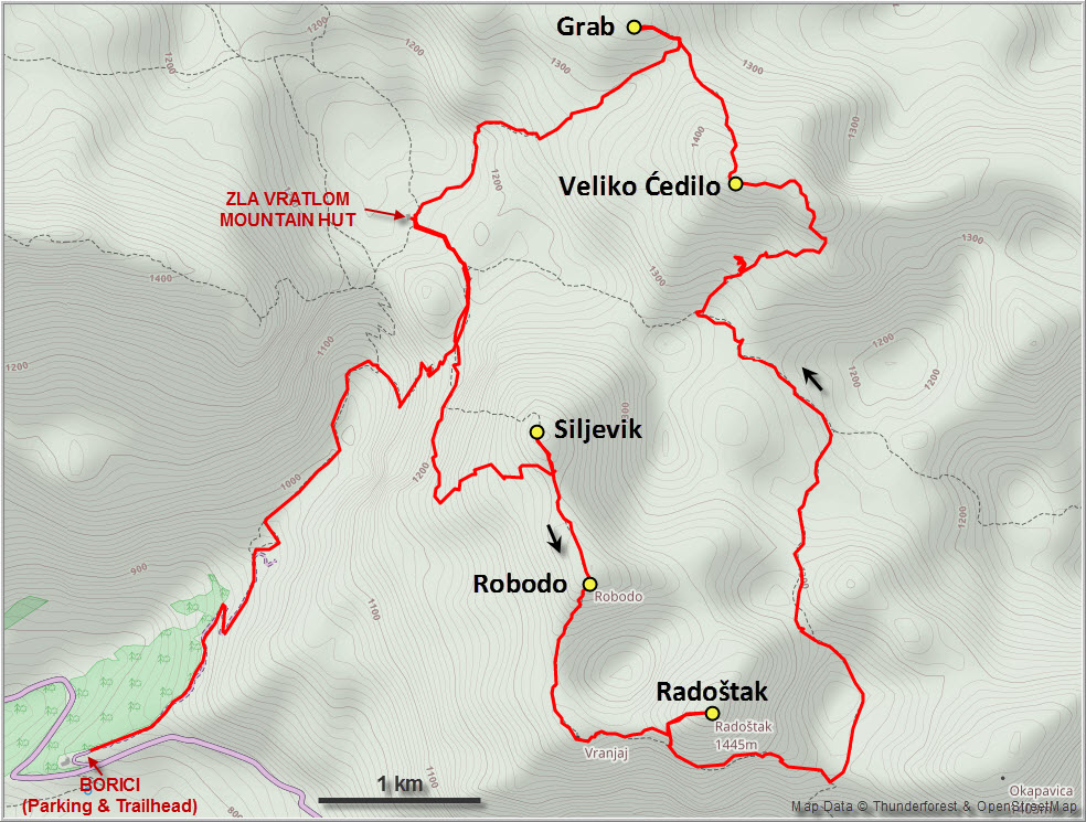
Having had a terrible time on my ridge bushwhack on Odijevo the day before, I wanted to do a nice relaxing ridgewalk on a proper trail today, preferably with some views of the coast. I looked at my map and saw a trail running across a number of peaks just to the SE of the Za Vrotlom mountain hut where we were staying. Vladimir, our friendly host from the hut, confirmed that the peaks of Siljevik, Robodo and Radoštak could be easily combined for a nice, half-day loop. So off I went…
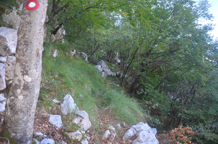
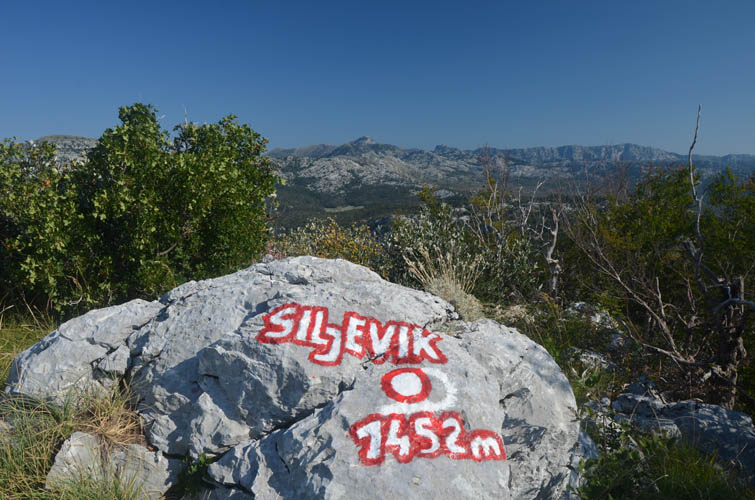
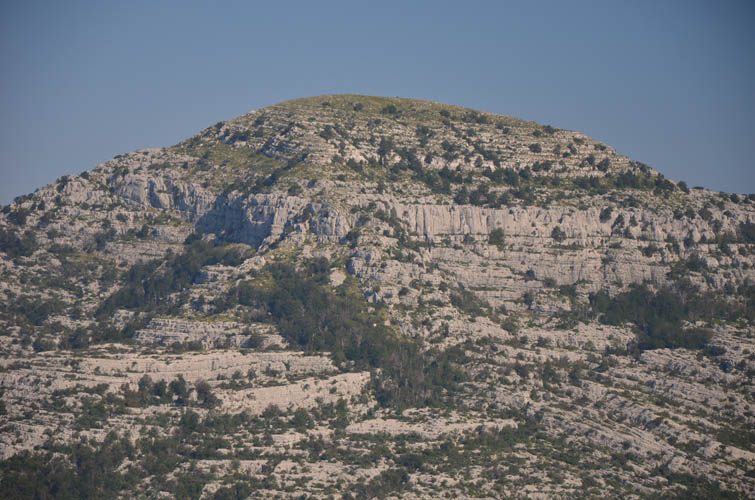
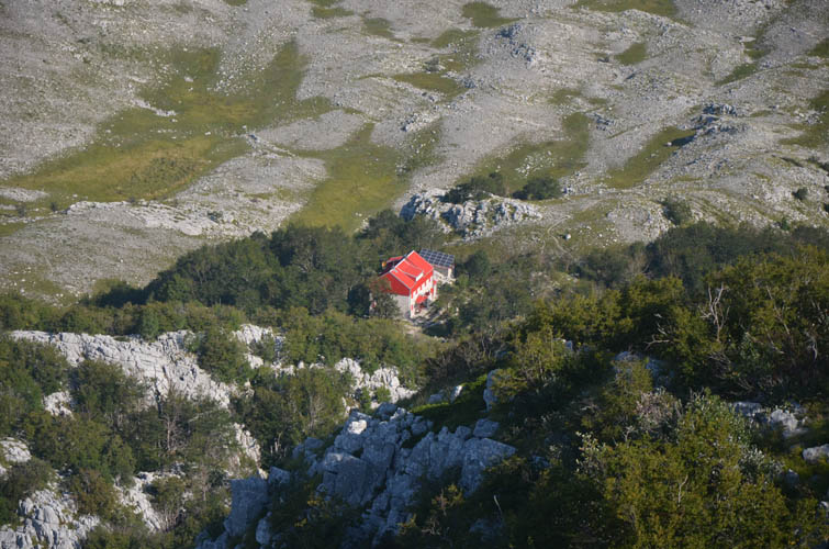
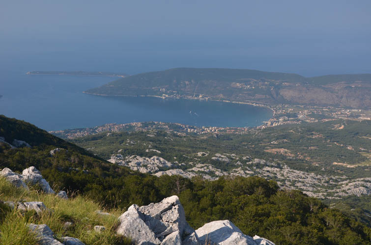
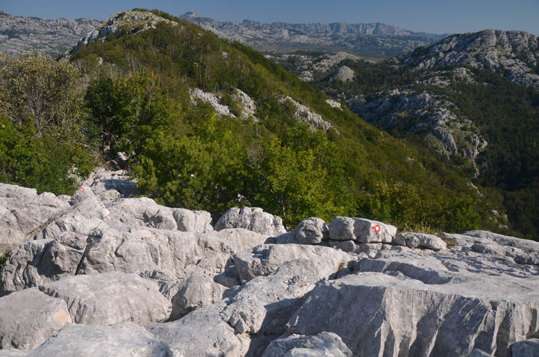
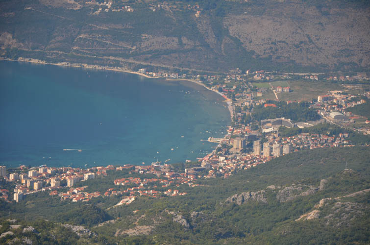
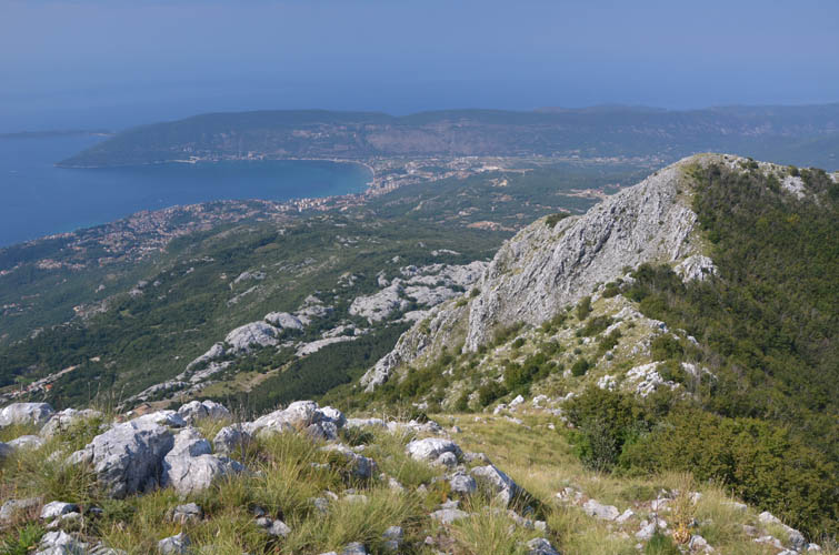
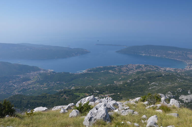
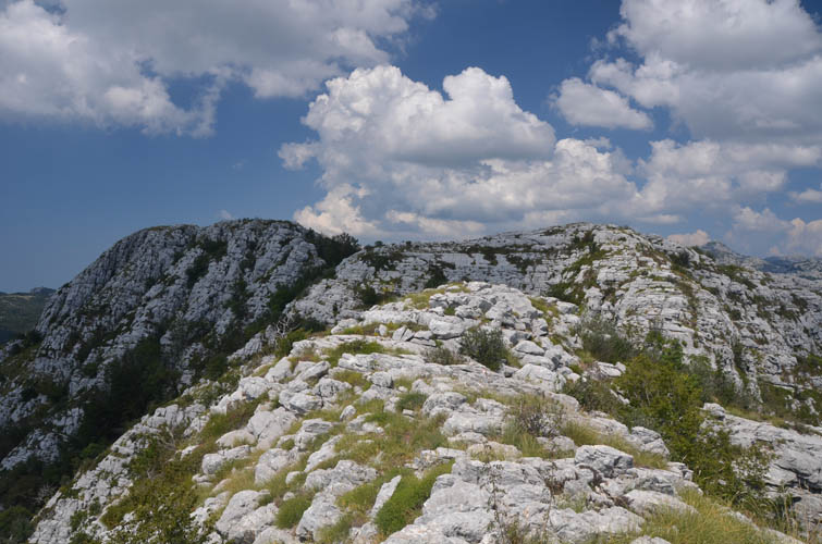
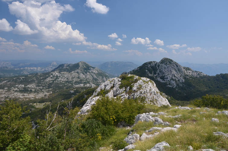
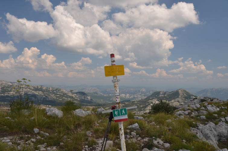
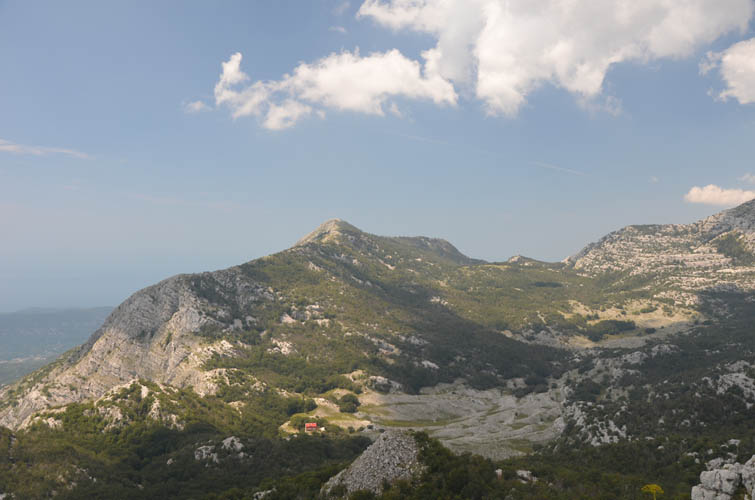
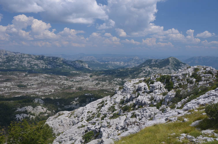
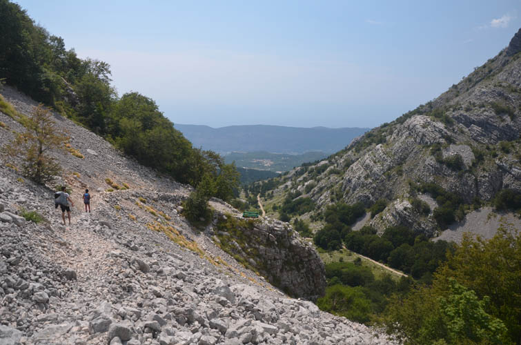
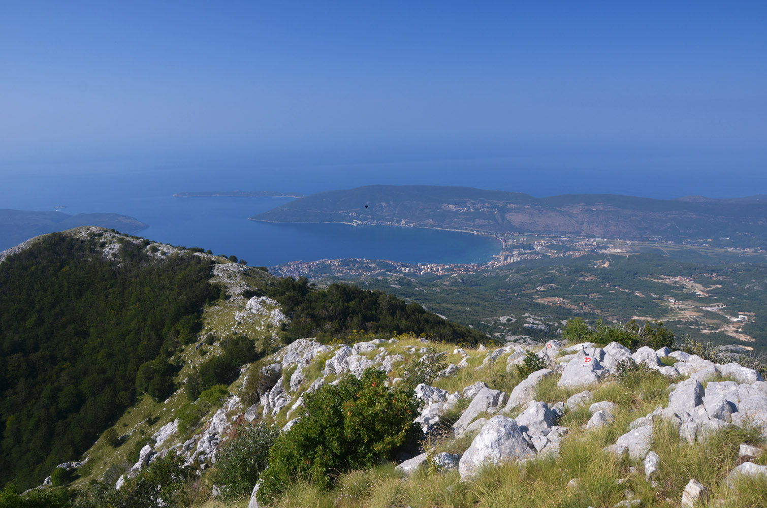
The trails on this traverse are definitely not as well-travelled as the route to Subra and I didn’t see a single person on the route today. Still, it was pretty easy to follow with all the red-white paint markers that are placed everywhere to make absolutely sure nobody gets lost! Siljevik was easily reached and had the best views in my opinion. I could see the red roof of the mountain hut to the north, while to the west views of Montenegro’s northern coastline opened up.
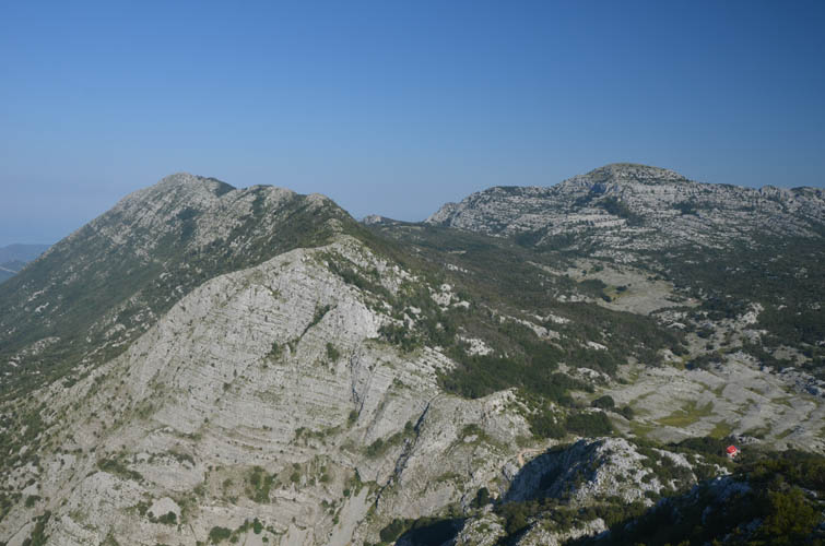
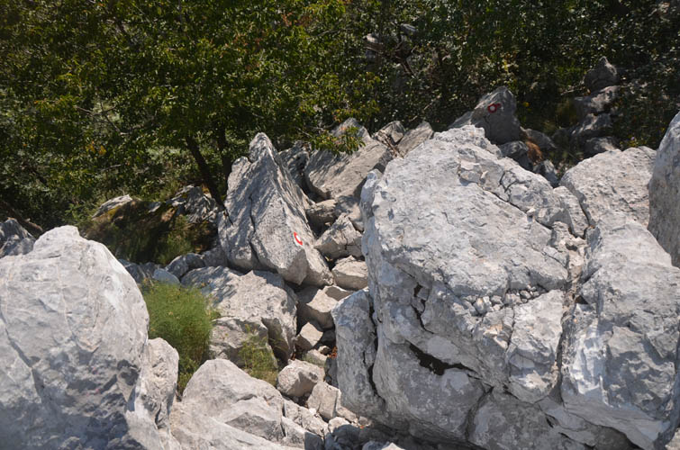
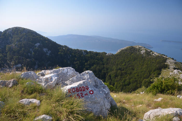
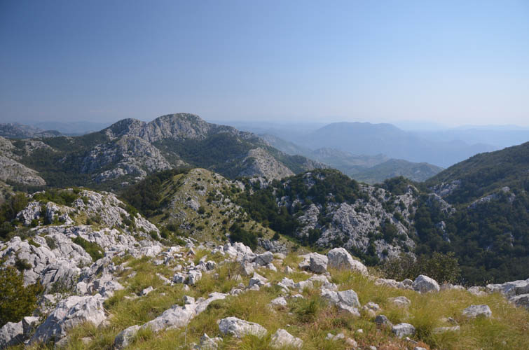
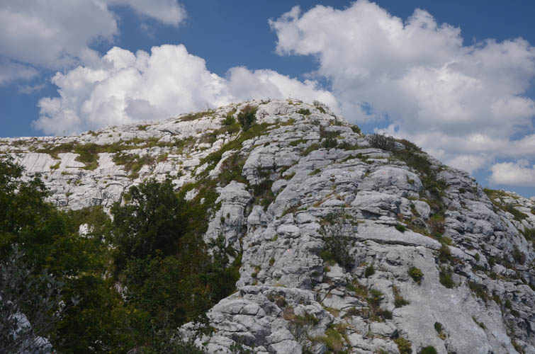
The second peak, Robodo, isn’t far from Siljevik (perhaps 20 minutes) and offers similar views. It’s also officially exactly the same elevation as Siljevik: 1452 m. The trail along the ridge is well-marked but was often slow-going because of the nature of the terrain, with blocks of sharp, fractured limestone partially overgrown with shrubs in the way.
After passing over a minor bump named “Vranjaj” (no elevation given), the trail descends to a saddle and veers right before climbing steeply to the summit of Radoštak. Radoštak can also be reached by another trail directly from the asphalt road below on the south side, which is a faster way to climb the peak with only about 450 m of elevation gain.
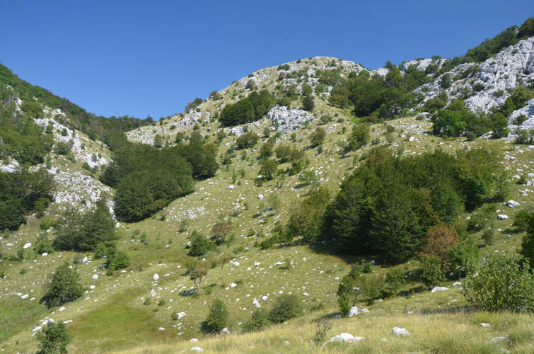
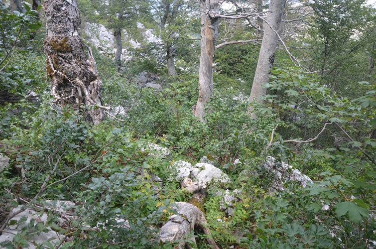
From Radoštak summit I had to backtrack a little bit to get back on the main trail, which traverses the south face of the ridge and then loops around to the north via a lovely secluded grass basin called “Malo Meduse”. I continued through forest, sometimes with light bushwhacking, to a trail intersection where turning left would’ve taken me directly back to the hut.
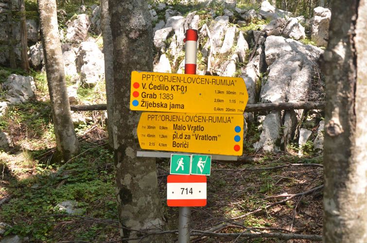
I looked at my watch – there was still some time left to extend my traverse, so of course why not explore a little more! Instead of turning left I turned right to continue to the Žlijebska Cave, an impressive 90 m deep hole surrounded by steep walls, with several minor cave features around it. From here it wasn’t far to the summit of Veliko Ćedilo (“Big Ćedilo”). A short stretch of enjoyable easy scrambling on karsted limestone steps just before the summit was the only challenge and the “crux” of the day.
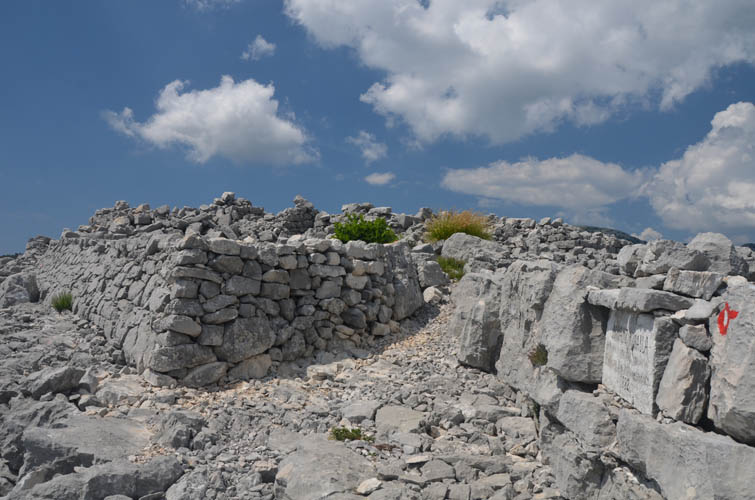
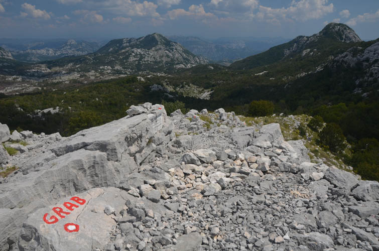
After Subra, the second most popular hike from the Za Vrotlom mountain hut appears to be a small peak called Grab. From Ćedilo it can easily be added with only a minor detour necessary. As soon as I hit the main route going up Grab, the trail widened and improved drastically, attesting to the popularity of this objective. The remains of an old military building are located right at the top, but it really isn’t much to look at with only a few crumbled walls left. Compared to the other peaks the views from Grab are mediocre at best.
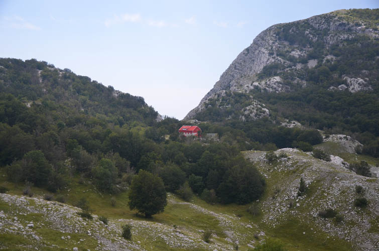
When I got back to the hut on the main trail, Wen, Vladimir and American writer Ben were already waiting for me. The hut was shut for the weekend as Vladimir had some business to attend to in town. Then we all hiked back down to our car, concluding a beautiful two-day getaway in Montenegro’s karsted Orjen Mountains.
Practical information:
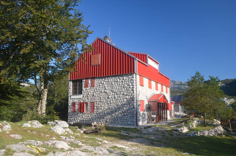
- One night at the Za Vratlom hut costs around 10-12 Euros per person. A full 3-course dinner is about 14 Euros, breakfast about 5 Euros. Spontaneous drop-ins are usually possible, or you can call or email to book ahead (they’re also on AirBnB). The hut is open year-round, but there may be the odd day when the care taker is away in town for business. Website: pksubra.me
- Hiking maps detailing some of the most popular hikes can be bought at the hut for 2 Euros. However, almost all trails are exceptionally well-marked (trail signs and plenty of paint markers) and can be done without a map.
- Most popular day hikes from the hut are Subra and Grab.
| Elevation: | Siljevik: 1452 m (official), 1440 m (my GPS) |
| Robodo: 1452 m (official), 1440 m (my GPS) | |
| Radoštak: 1446 m (official), 1440 m (my GPS) | |
| Veliko Ćedilo: 1466 m (official), 1450 m (my GPS) | |
| Grab: 1383 m (official), 1373 m (my GPS) | |
| Elevation gain: | 1000 m |
| Elevation loss: | 1450 m |
| Time: | 6.5 h |
| Distance: | 12.6 km |
| Difficulty level: | Easy (Kane), T2/T3 (SAC) |
| A few moderate steps to get to Ćedilo summit | |
| Reference: | Local maps |
| Personal rating: | 3 (out of 5) |
DISCLAIMER: Use at your own risk for general guidance only! Do not follow this GPX track blindly but use your own judgement in assessing terrain and choosing the safest route.