Konya, Turkey
23 November 2018
Solo
Erring around in the clouds above Konya
Loras Dağı was nothing more than a boring hike – with the exception of a pretty cool large cave that I came across half-way up the mountain. I certainly didn’t have the weather on my side today, thus the low personal rating. On a sunny day, this might be a much nicer outing albeit still a fairly short one.
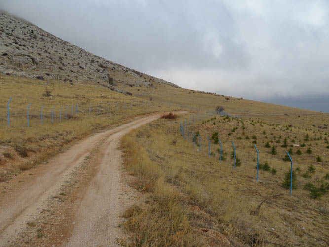
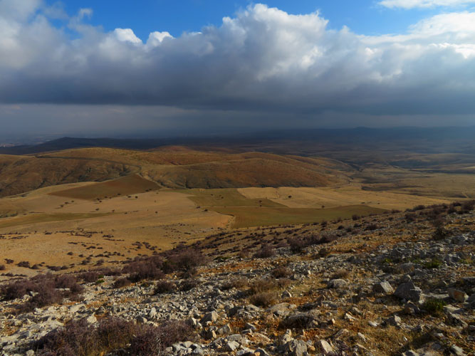
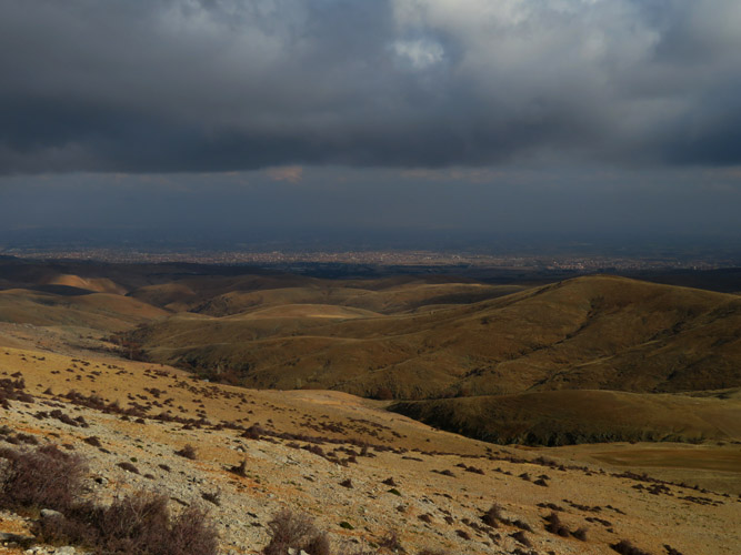
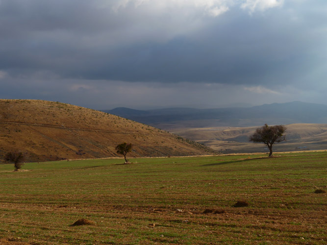
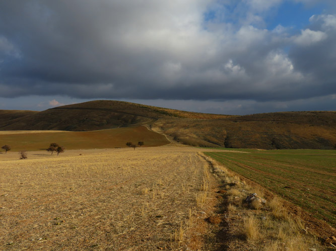
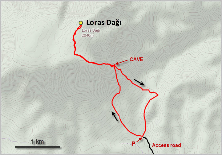
This “mountain” is the highest point of a number of mellow hills that rise up to just above 2000 m west of the large Turkish city of Konya (population 1.3 million). It can be approached from any direction, but access is easiest either from the Altınapa Barajı Lake along the Konya-Isparta highway to the north or from the Konya-Seydisehir highway (D696) to the south. I chose the southern access and drove up on dirt roads to an elevation of 1400 m, although the road is good enough to drive even higher. Driving time from Konya city centre was roughly 40 minutes.
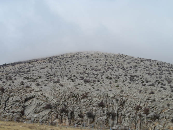
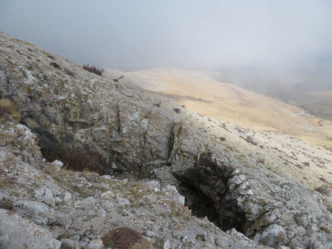
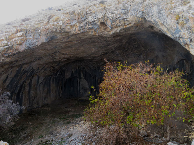
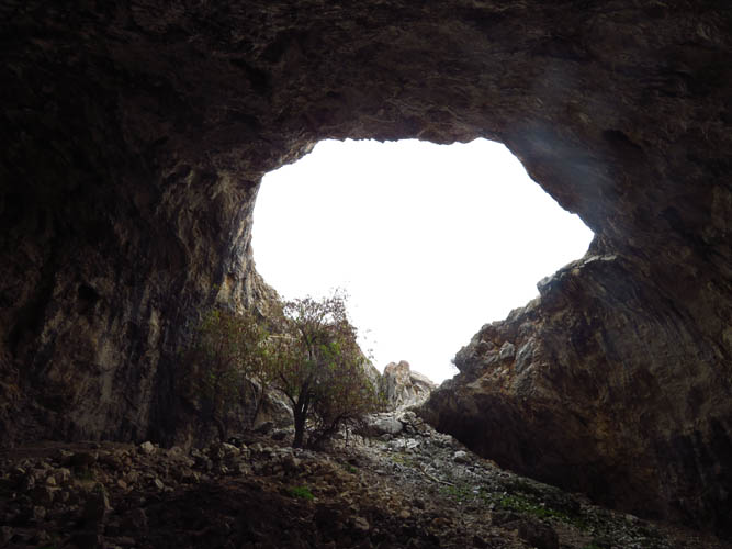
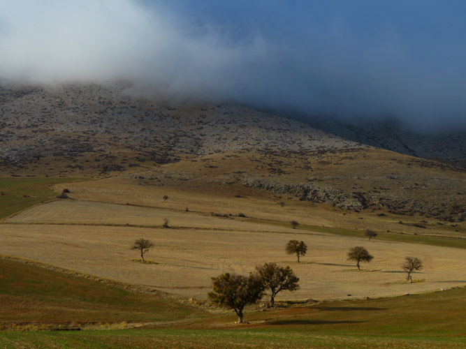
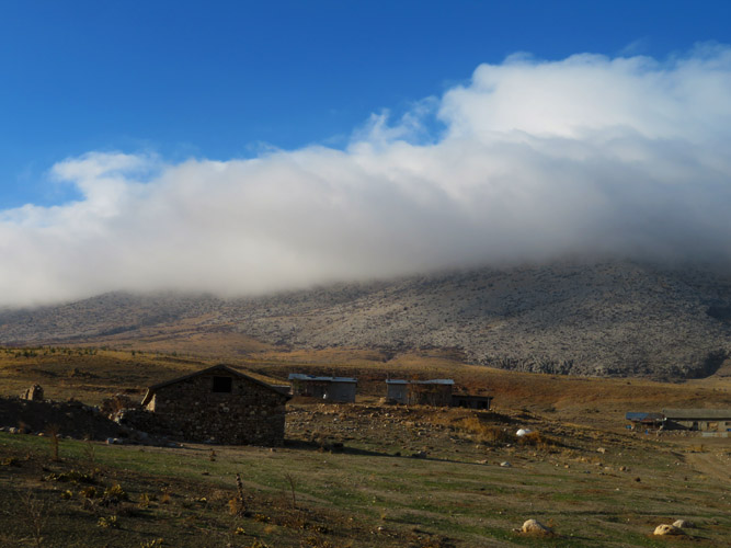
I parked near a small cluster of seemingly empty farm buildings and walked up the remaining part of the dirt road before basically hiking directly up the mountain. Situated about half-way up is an interesting and rather large cave – a single cavern about the size of a house that you can walk right into. There are a few trees growing near the entrance but the rest is just empty space with a flat mud floor. This would be the perfect shelter for a large group if you ever got stuck in the area!
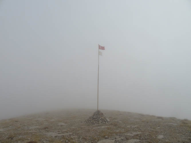
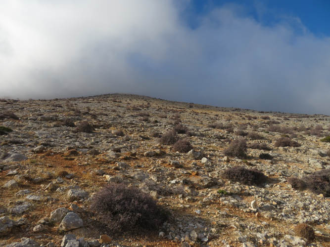
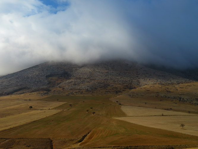
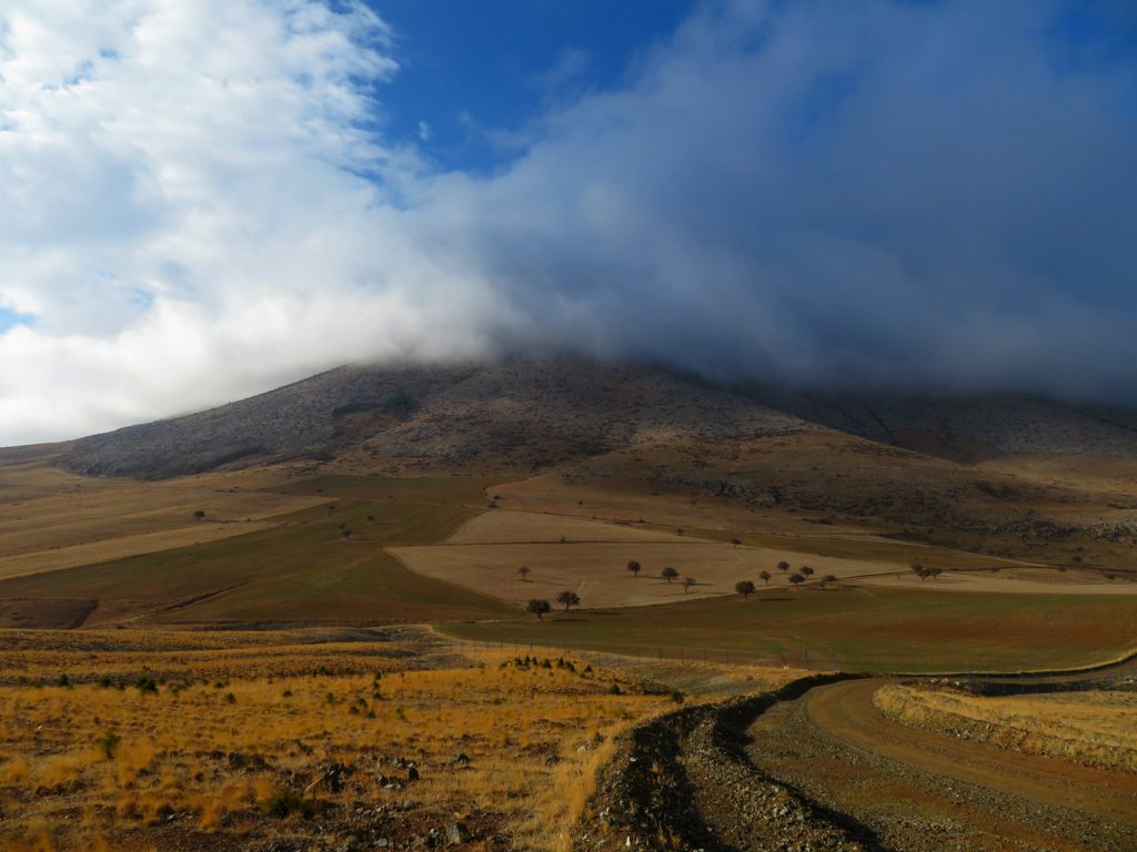
After inspecting the cave, I headed straight up the barren slopes of Loras Dağı, passing a couple of cairns en route. While I had enjoyed some glimpses of the sun earlier in the day, I was now completely surrounded by dense clouds obscuring my views. I couldn’t see more than about 50 m ahead! Near the top of the ridge I encountered a large cairn with a pole flying the Turkish flag in the gusting winds. It’s clearly not on the highest point and I have no idea why someone would plant a flag right at this spot.
Finding the true summit was the crux of the trip. It turned out to be quite the challenge to navigate my way along the gently undulating ridge with nothing in front of me other than a grey veil of fog. The ridge isn’t very well defined and there are lots of smaller bumps and dips, making me constantly second-guess myself on which route to take. Using the vague map I had on my navigation app, I eventually stumbled upon the rather diminutive summit cairn at 2048 m elevation. With nothing to see! Well, another workout summit at least :).
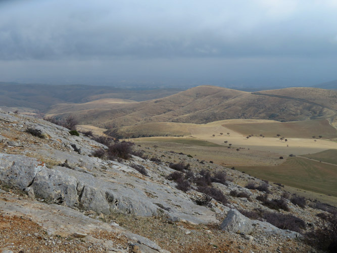
It was cold, damp and uncomfortable so I immediately turned around and headed back the same way to the cave, which was a much better place to take a break. My GPS was indispensable for retracing my route: without it I would’ve lost my way in this foggy maze with certainty. Below the cave I emerged from the clouds again and enjoyed a pleasant stroll back in the afternoon sun, following a slightly different route along an old abandoned track. The whole day I hadn’t seen another soul – just the clouds and me. An eerie kind of solitude and certainly a great way to rejuvenate body and mind after several long and tiring days of driving across Turkey.
|
Elevation: |
2040 m (official), 2048 m (my GPS) |
|
Elevation gain: |
780 m |
|
Time: |
3.5 h |
|
Distance: |
9.3 km |
|
Difficulty level: |
Easy hike (Kane), T2 (SAC) |
|
Comments: |
No water source encountered on this route |
|
Reference: |
Local maps & own routefinding |
|
Personal rating: |
2 (out of 5) |
DISCLAIMER: Use at your own risk for general guidance only! Do not follow this GPX track blindly but use your own judgement in assessing terrain and choosing the safest route.