Livingstone Range, AB, Canada
19 August 2019
With Wen
Scenic area with plenty of hiking and scrambling possibilities
Coffin Mountain, also known as Mount Speke, is located near the northern end of the Livingstone Range, just outside of Kananaskis Country. It’s one of those smaller front range peaks that can be ascended throughout much of the year on a variety of routes, the only real obstacle being the long drive from Calgary (about 2.5 hours) and the sometimes rough gravel roads.
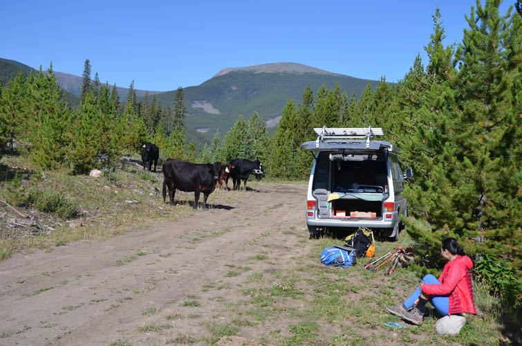
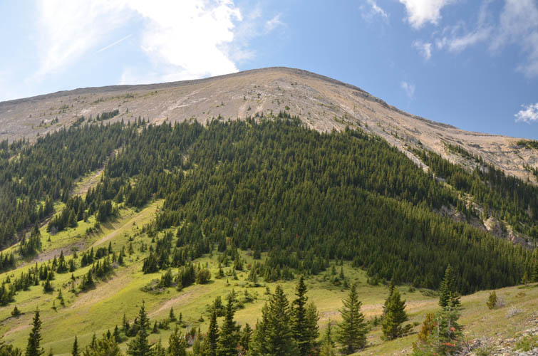
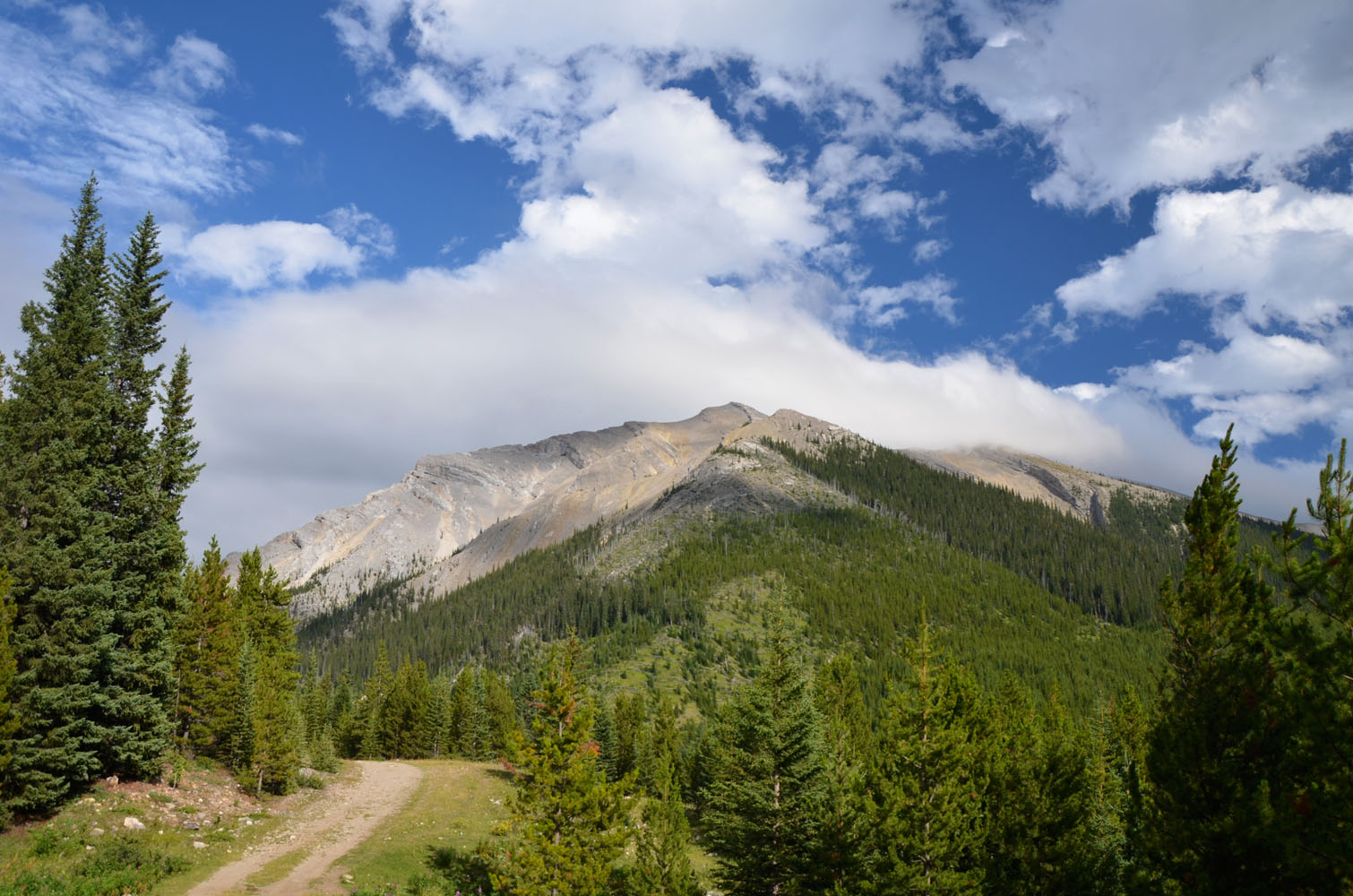
In summer, this area is as beautiful as any in the Rockies. It doesn’t have the grand valleys and steep cliffs of those higher peaks along the Continental Divide further west, but that doesn’t take away from its appeal. Wen and I thoroughly enjoyed ourselves on this two-peak day trip. We were able to drive up the unmarked access track that goes east from the Forestry Trunk Road (highway 940) about half-way before the pot holes and grooves got too deep for our van. With a higher clearance 4WD you can easily make it to the end of the track a bit higher up and park your car there.
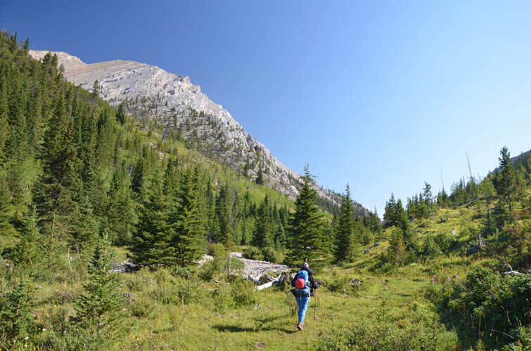
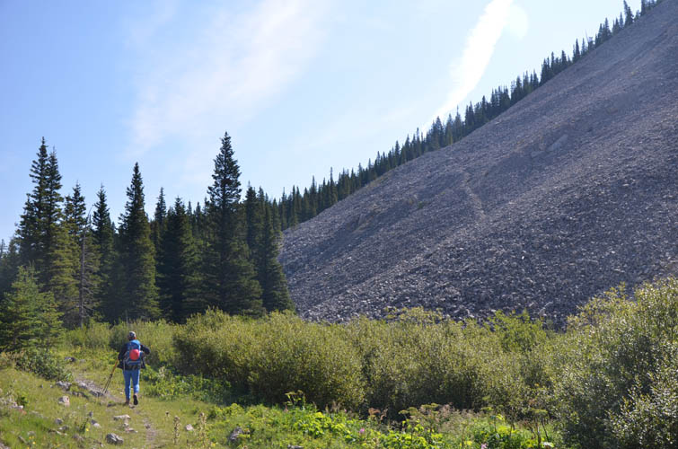
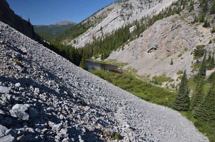
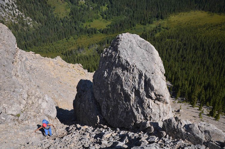
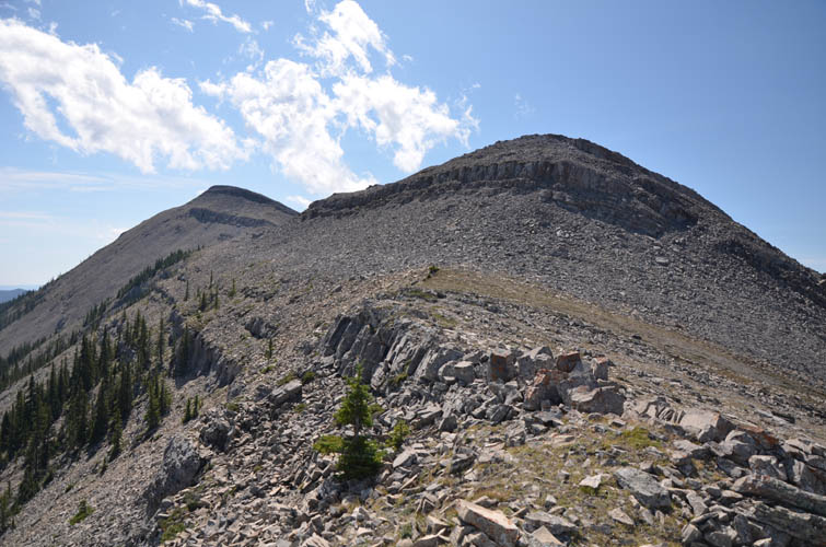
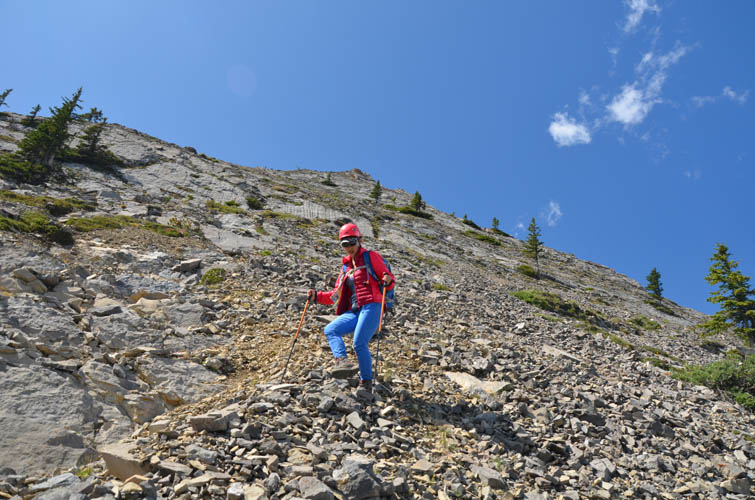
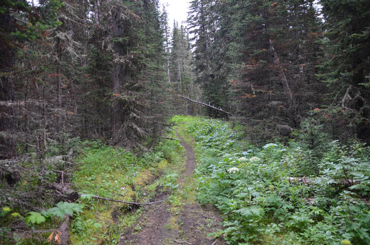
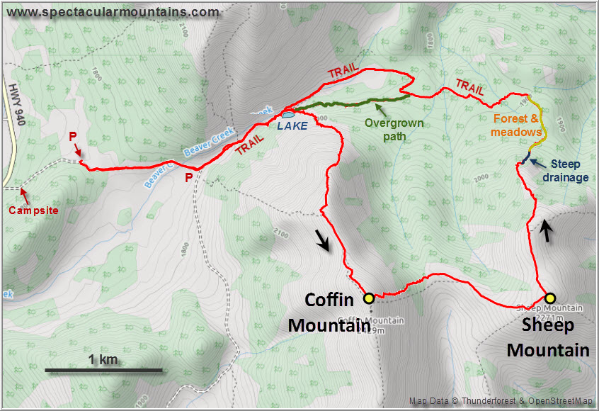
Instead of following the “established” route up the NW slopes, we followed the path along Beaver Creek to a small pond at the northern end of Coffin Mountain and headed up a goat trail in the scree just after the lake. This trail took us up and around the NE side of the ridge, fizzling out on an open slope with a mix of scree and solid rock ribs. This was probably the most challenging section of the whole day, although no more than moderate scrambling overall, due to the presence of loose rock and the steepness of terrain. I quite enjoyed scrambling up here, but Wen was less enthusiastic about it.
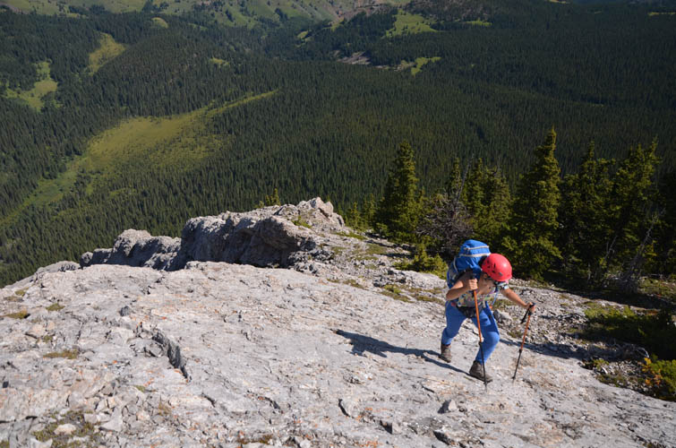
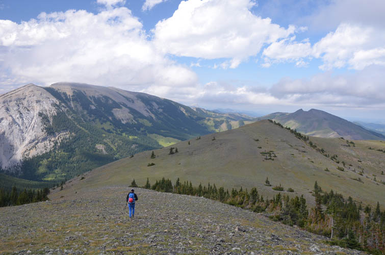
We headed left across the open rocky slope towards some trees, then scrambled up rock ledges and slabs towards the now more well-defined north ridge. A great place to have lunch and stare at the south slopes of Mount Livingstone across the valley!
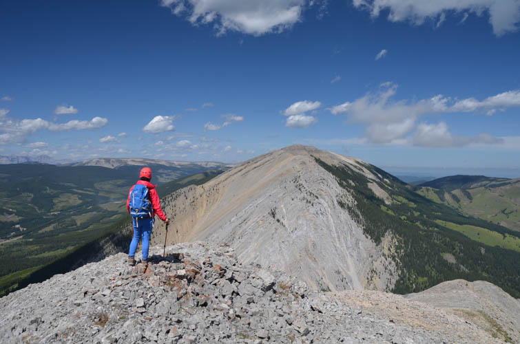
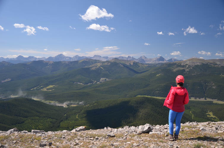
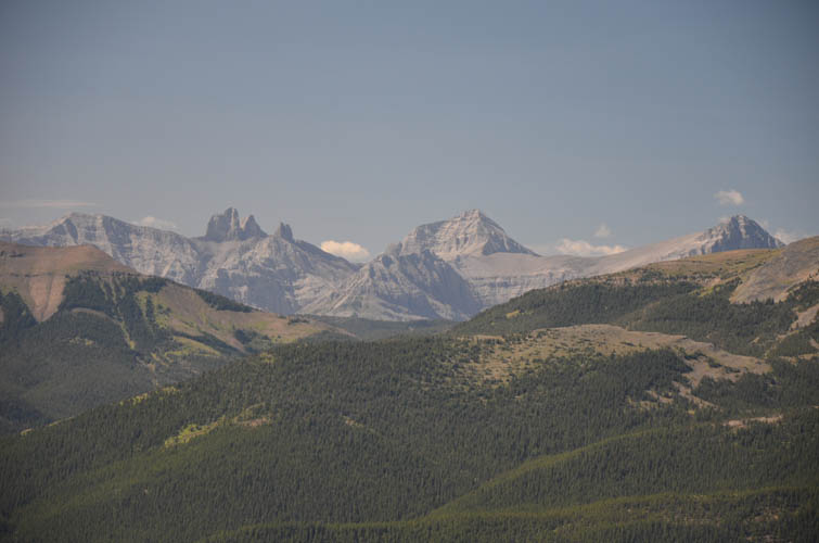
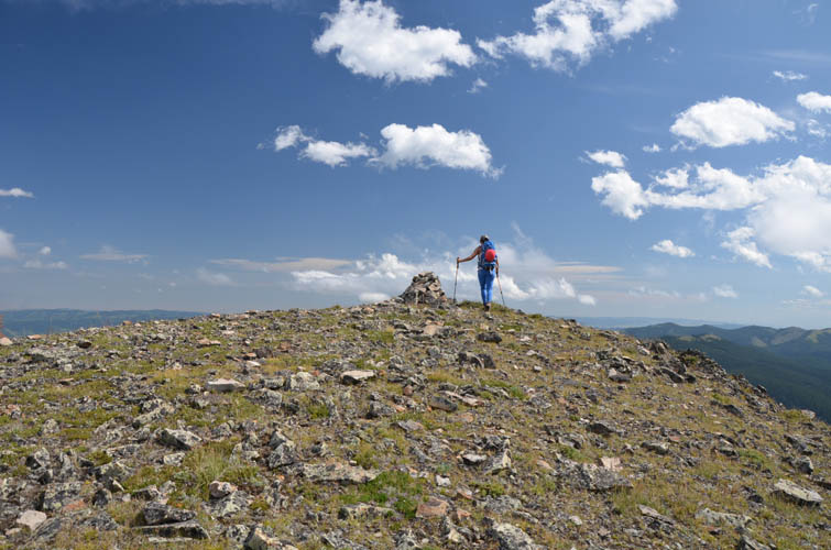
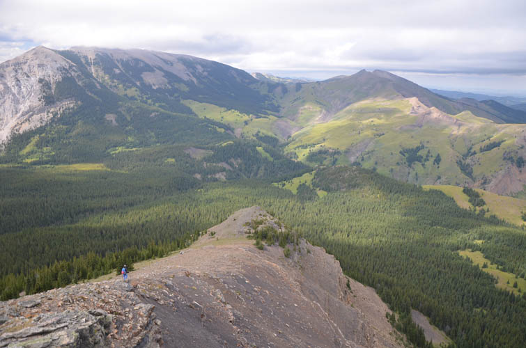
An easy and scenic ridgewalk brought us to the summit of Coffin Mountain, about an hour and 15 minutes south of where we gained the top of the ridge. A long line of impressive mountains form the Continental Divide to the west, and Coffin is a great vantage point.
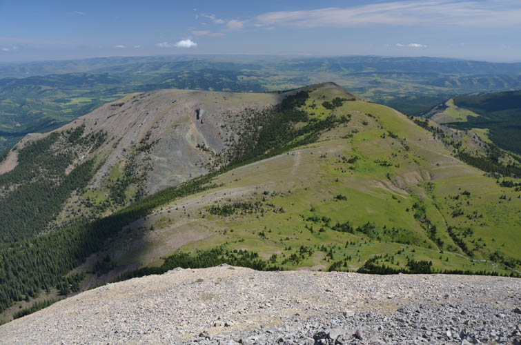
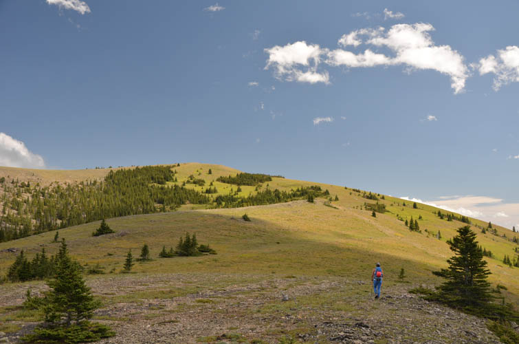
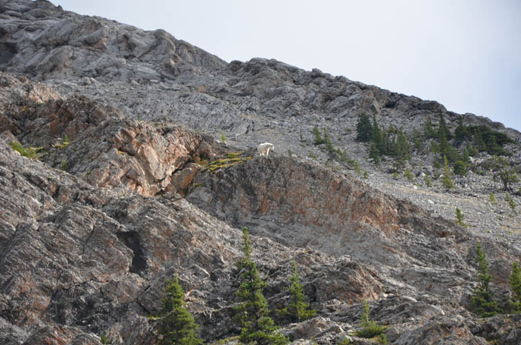
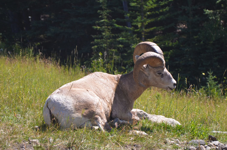
A small peak called Sheep Mountain sits immediately to the east of Coffin. To combine the two peaks into a loop we first had to lose about 300 m of elevation by hiking down scree and through forest to the col between the two, and then re-gain about 140 m on the mellow grass ridge rising up to the high point of Sheep Mountain. Although we didn’t see any sheep, we were lucky to spot a group of deer on the meadows to the south.
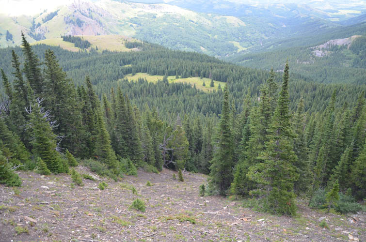
To get back to our car and make a full loop, the plan was to continue along the bare north ridge of Sheep Mountain, then drop down into a short stretch of forest to link up with a trail in the valley to the north. A series of clearings that showed up as nice light green meadows on satellite images would hopefully help us minimize any bushwhacking through the trees. The plan worked out quite well for the most part. To get down to the meadows from the northern end of the ridge, we had to scramble down a steep drainage with plenty of loose rubble – a section that Wen wasn’t too happy with but she mastered it very well and it was fairly short. Once we entered the trees below all we had to do was hike through light forest and across several clearings that all connected nicely and eventually spilled us out on a good trail.
Interestingly, this trail isn’t on any of the maps I had consulted beforehand, despite being in great shape and showing signs of recent OHV traffic. The track runs through forest in a westerly direction, then splits with one arm continuing straight west and another heading north. This is where we should’ve turned right (north) as it would’ve nicely led us back to the Beaver Creek trail (see map above). Following the main direction back to the pond we instead continued straight on what seemed to be a cutline, only to find the track becoming increasingly overgrown and eventually turning into a very narrow winding trail through the forest. Curiously, this trail was flagged although I doubt many people use it since there is evidently a better route just down the slope by the creek.
Having put this last stretch of unnecessary bushwhacking behind us, we were happy to make it back to the pond at the col and leisurely walked back to our van, arriving about 7.5 hours after setting off in the morning. We found a great camping spot just down the road and spent the rest of the night relaxing at our campfire to celebrate another wonderful day in nature.
|
Elevation: |
Coffin Mountain: 2406 m (my GPS) |
|
|
Sheep Mountain: 2264 m (my GPS) |
|
Elevation gain: |
910 m |
|
Time: |
7.5 h |
|
Distance: |
13.2 km |
|
Difficulty level: |
Moderate (Kane), T4 (SAC) for Coffin |
|
|
Easy (Kane), T3 (SAC) for Sheep |
|
Reference: |
Own routefinding |
|
Personal rating: |
4 (out of 5) for Coffin, 3 (out of 5) for Sheep Mountain |
NOTE: This GPX track is for personal use only. Commercial use/re-use or publication of this track on printed or digital media including but not limited to platforms, apps and websites such as AllTrails, Gaia, and OSM, requires written permission.
DISCLAIMER: Use at your own risk for general guidance only! Do not follow this GPX track blindly but use your own judgement in assessing terrain and choosing the safest route. Please read the full disclaimer here.