Kananaskis, AB, Canada
3 June 2020
With Trevor & Richard
A delightful hike in a wonderfully scenic area
This little peak really surprised us. A full ten years ago Trevor and I had done Opal Ridge North (where the true summit of the Opal Ridge is located), but we had never really thought much about the southern part of the ridge. The three of us were looking for something reasonably short as time was limited on this weekday, and Opal Ridge South was a great candidate.
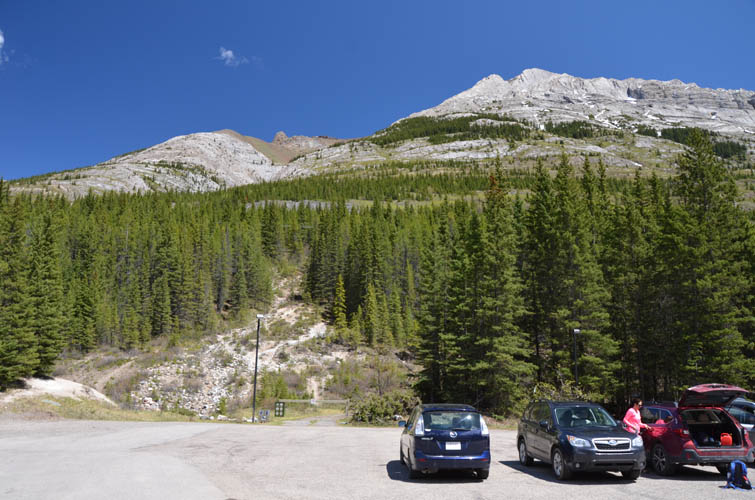
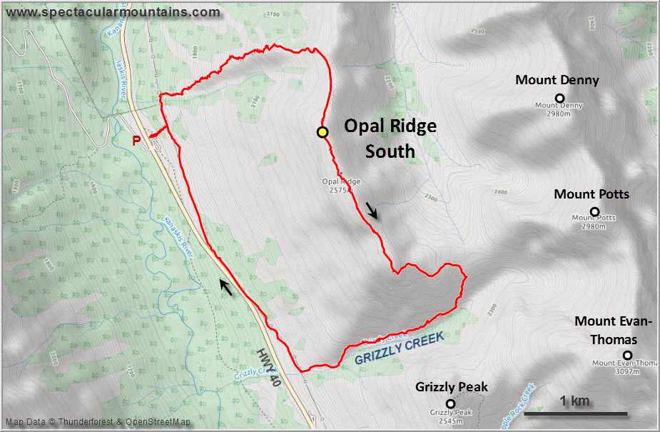
There are at least three different routes, including the long traverse all the way from Opal Ridge North, which isn’t done very often. The most popular route by far is straight up the west slopes from the parking lot at the Centex gas station. We decided to combine it with a descent along Grizzly Creek on the south side of the ridge, which worked out perfectly.
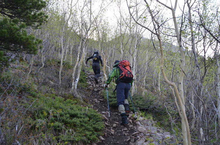
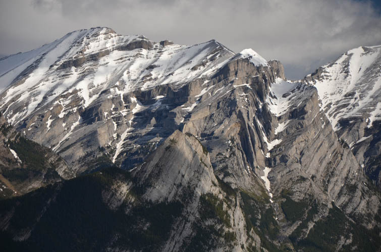
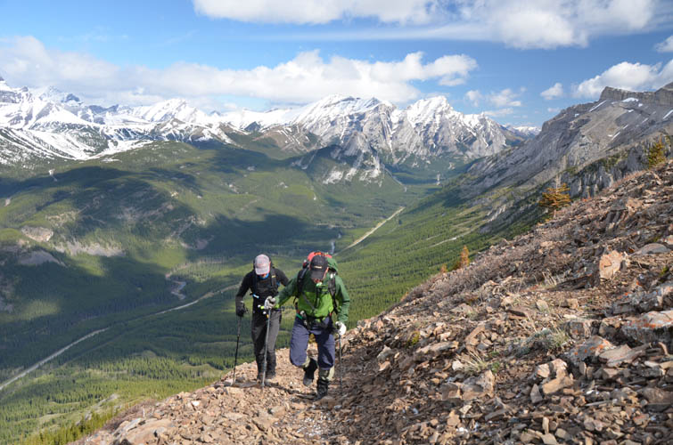
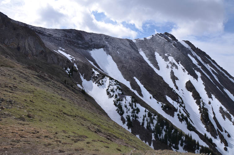
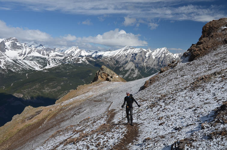
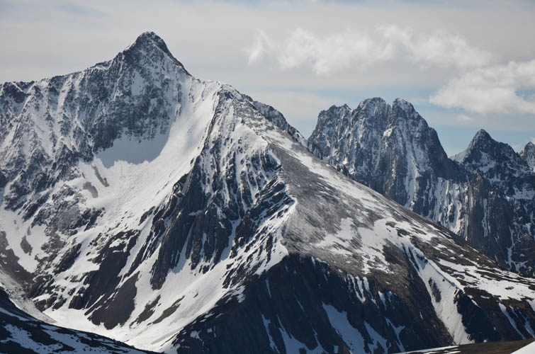
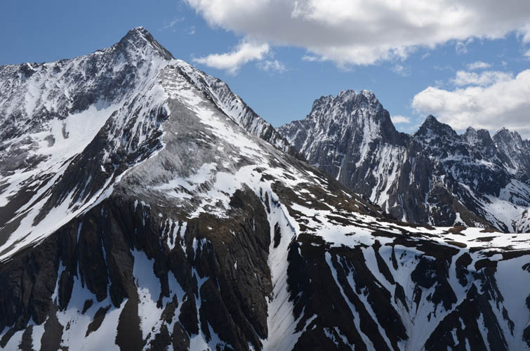
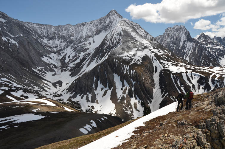
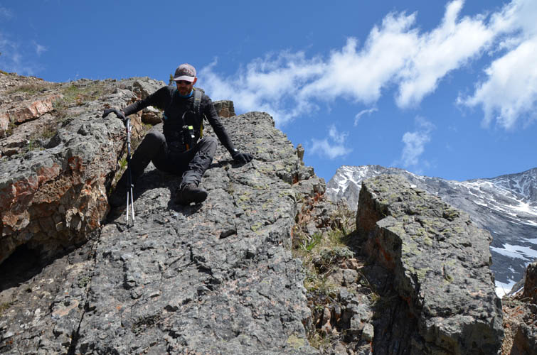
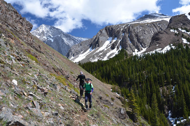
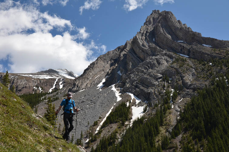
A few other parties were already on the trail when we headed up – this is a popular summer outing even during the week. The trail is easy to find and in excellent shape – just a delight to hike with unobstructed views as it’s almost all in the open – a rare treat for me given some of my recent trips tended to involve tons of forest and bushwhacking. The trail is fairly steep most of the way up and you gain elevation very quickly, but it’s easy to get distracted by views of the craggy ridge top above and the impressive east face of Mount Lawson across the valley.
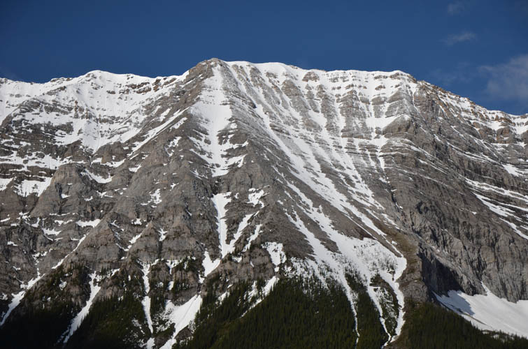
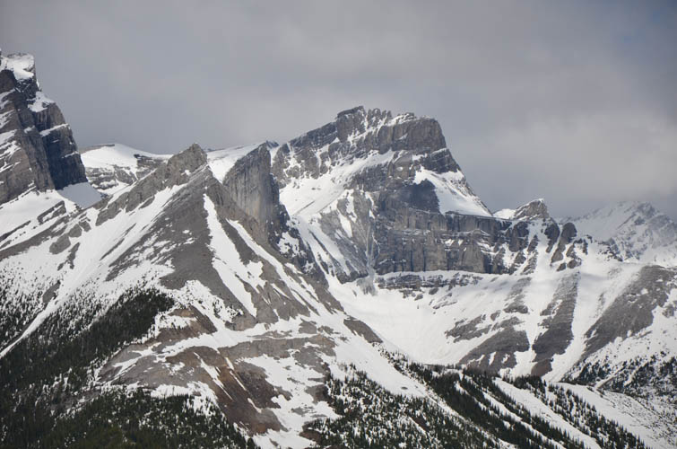
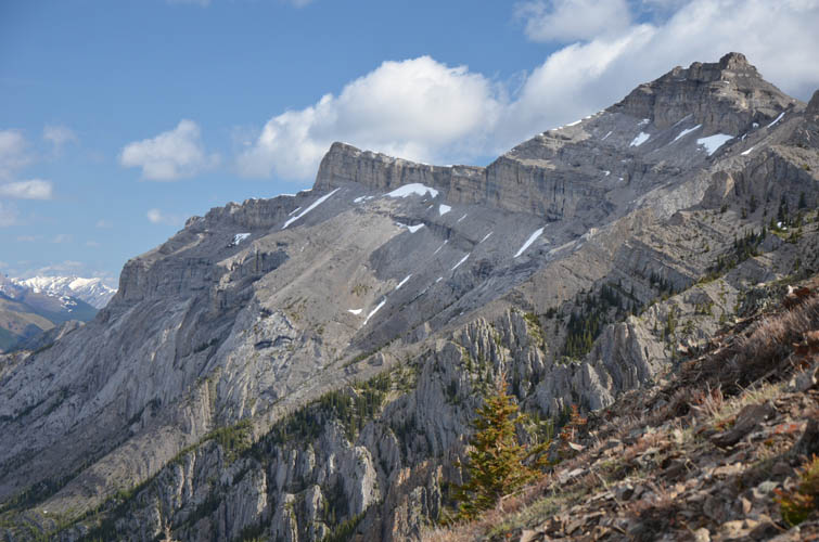
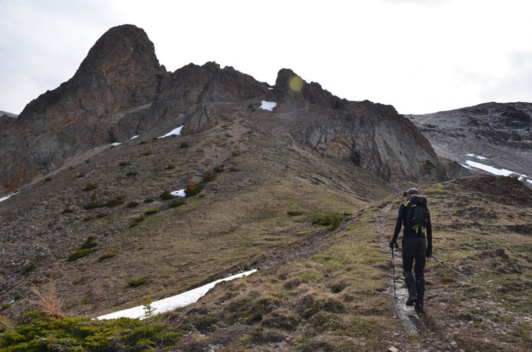
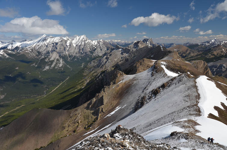
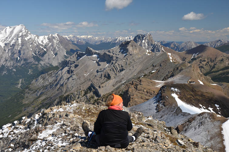
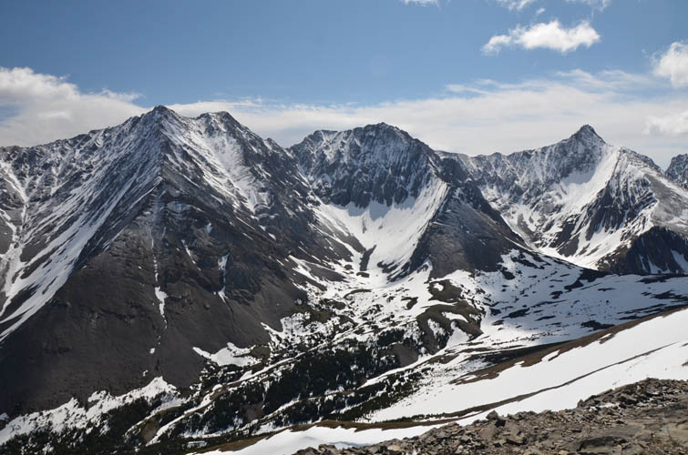
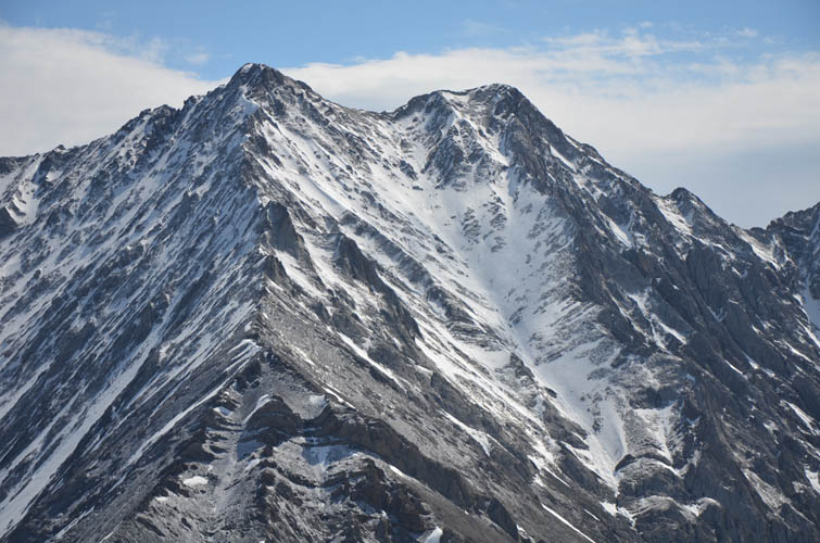
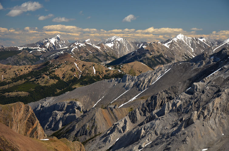
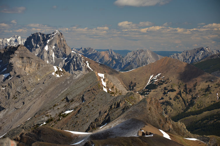
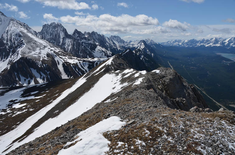
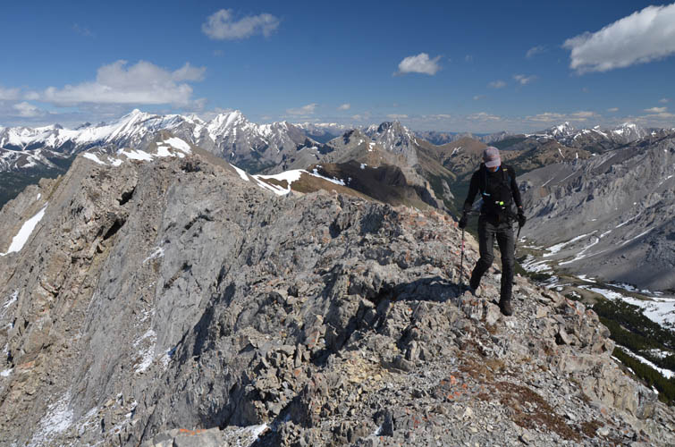
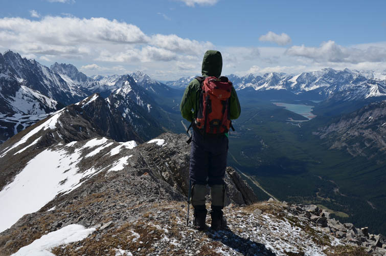
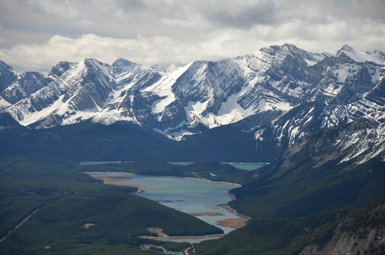
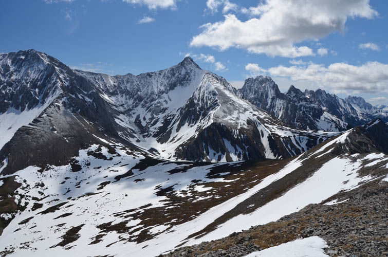
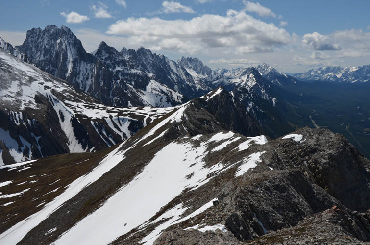
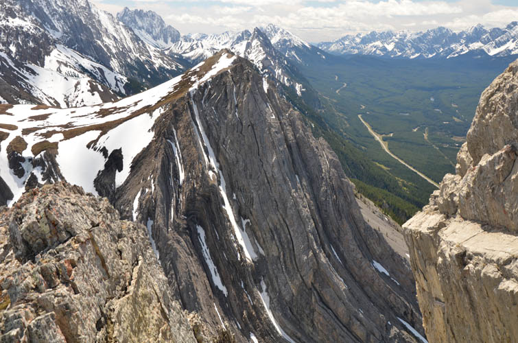
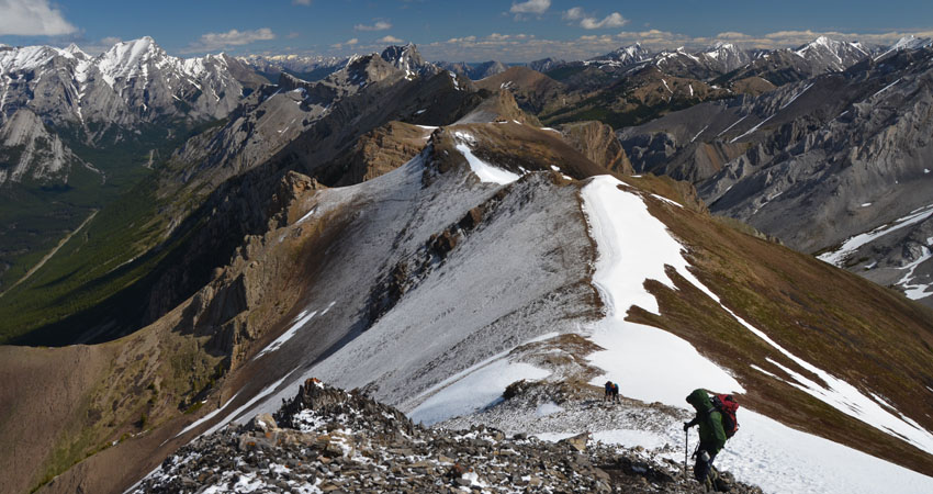
Near the top the path snakes through some rock buttresses up a scree slope before you top out on the ridge crest. An easy walk leads to a cairned high point a short distance south. The panorama up here is absolutely amazing: almost the entire length of the Opal Range can be seen from here, and even the Kananaskis Lakes show up in the distance. A lovely valley separates the ridge from higher and more difficult objectives directly to the east such as Mount Denny, Mount Potts and Mount Evan-Thomas further southeast.
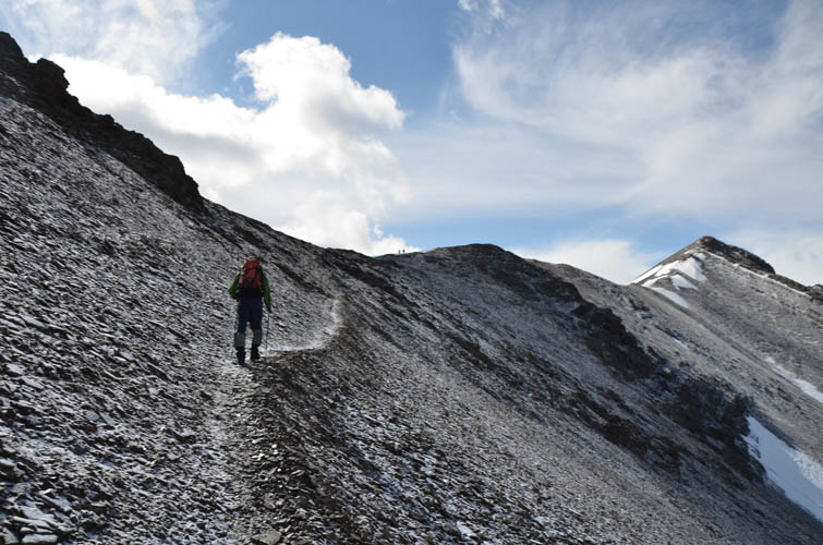
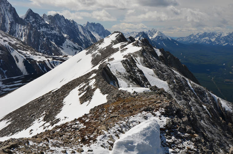
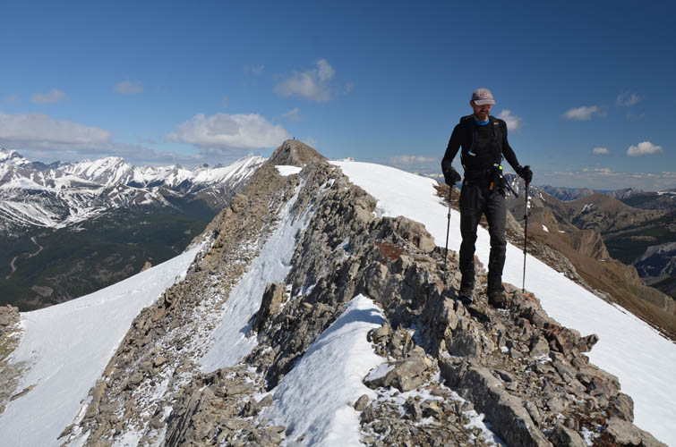
We continued south along the ridge top, either right on top of the crest (some moderate but mostly easy scrambling) or just off it on the east side (hiking to easy scrambling), taking in all the minor high points along the ridge to its end. This was a great spot for an extended lunch break with million-dollar views far off the crowds.
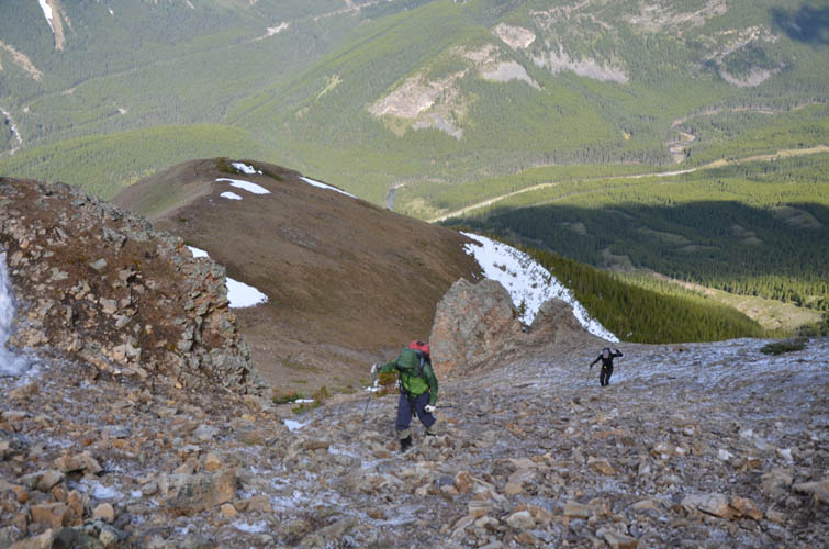
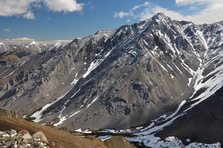
After an easy plod down the gentle scree and grass-covered slopes to the high valley, some route-finding was necessary to link up with a faint trail that runs on the north side of Grizzly Creek below. Our route was a bit more direct and required a bit of scrambling, but the further east you go the easier it gets to head down to the creek.
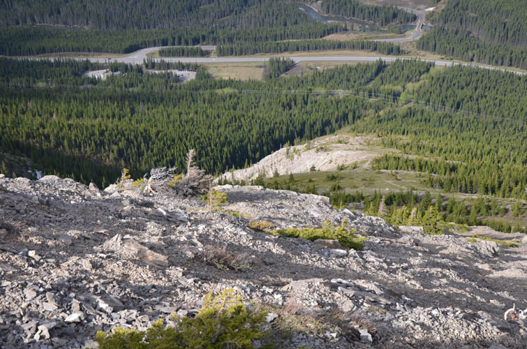
It’s easy to see why our descent route isn’t as popular: the trail here is pretty faint in the upper half and there are washouts and mildly exposed sections in some spots. Overall not too bad in my opinion, but perhaps not great for the casual hiker. Near the bottom close to Hwy 40 we hit a wide track along a power line and followed it a few km back to the parking lot. What a fantastic day!
|
Elevation: |
2614 m (my GPS) |
|
Elevation gain: |
1190 m |
|
Time: |
5.5 h |
|
Distance: |
11.8 km |
|
Difficulty level: |
Easy (Kane), T2 (SAC) for west route |
|
|
Easy to moderate, T3 for loop |
|
Reference: |
Local maps & own routefinding |
|
Personal rating: |
5 (out of 5) |
NOTE: This GPX track is for personal use only. Commercial use/re-use or publication of this track on printed or digital media including but not limited to platforms, apps and websites such as AllTrails, Gaia, and OSM, requires written permission.
DISCLAIMER: Use at your own risk for general guidance only! Do not follow this GPX track blindly but use your own judgement in assessing terrain and choosing the safest route. Please read the full disclaimer here.