Banff, AB, Canada
24 July 2021
Solo
Delightful scrambling on a rarely visited Banff peak
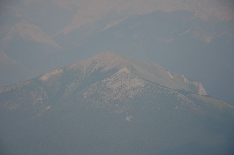
This little peak definitely exceeded my expectations, both in terms of the views and the actual scramble. There isn’t much out there on this mountain, with the exception of a short account by Peter Nelson who described an ascent up the east face, which is also the route of the first recorded ascent by John Martin in 1987. David P. Jones refers to this peak as V7 in his Rockies Central climbing guidebook after an informal numbering scheme for all the high points of the Vermilion Range (Mount Brewster, for example, equates to “V1”). I decided to use the name Elk Peak (rather than “Sira S5” as per Google or the odd “Blue Elk” as per bivouac) due to the peak’s location overlooking Elk Lake below.
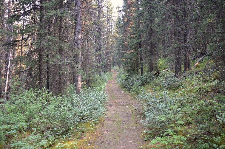
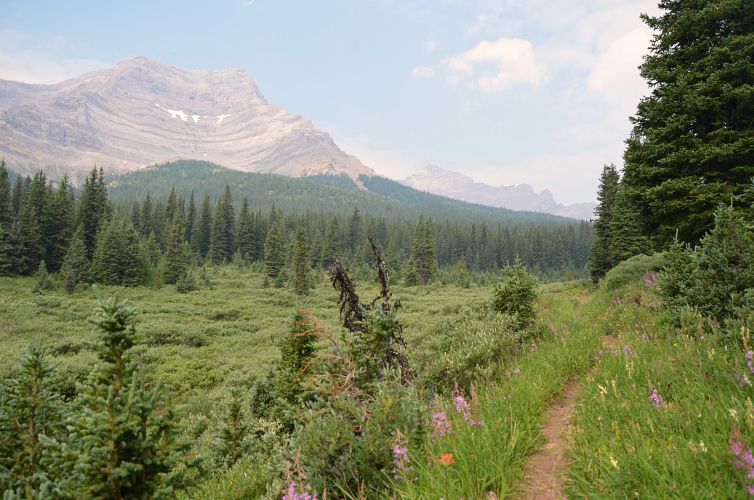
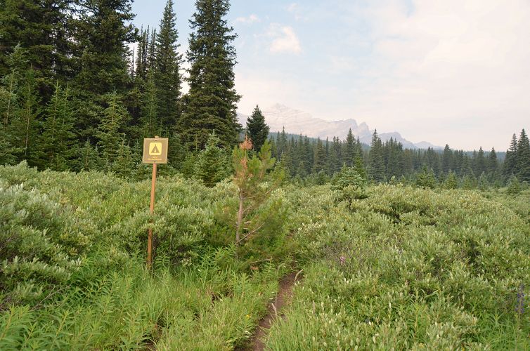
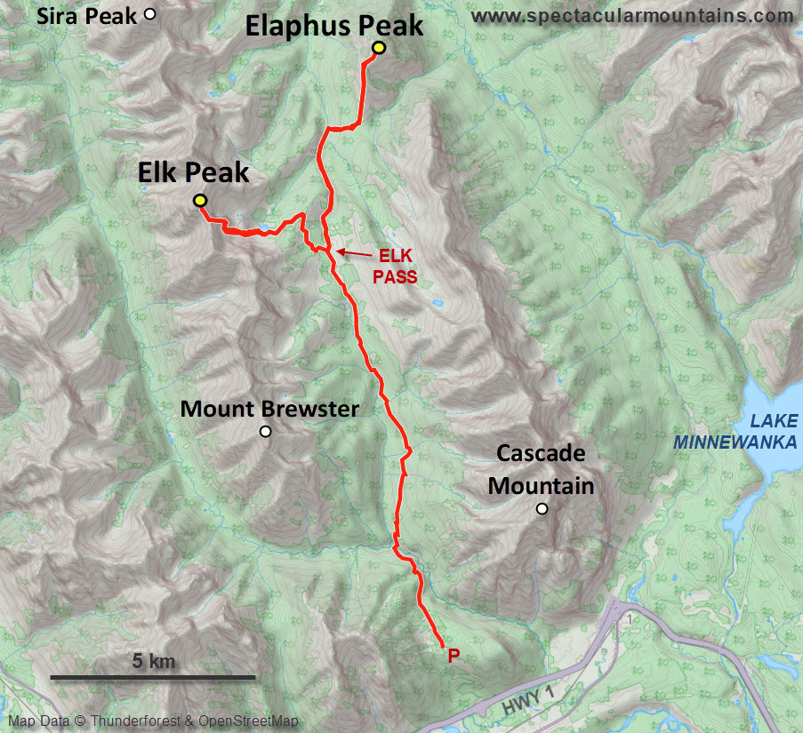
The main challenge for this trip is the long approach. From the huge Norquay ski resort parking lot, I followed the same trail as for Cascade Mountain for the first 4.5 km, then took the turn-off north onto the trail towards the signed Elk Summit (which in this case just refers to the highest point on the pass, i.e. Elk Pass). This section is another 11 km but on an excellent trail and it’s a very gradual rise so you can move relatively fast and make good progress. Near the pass there is a nice backcountry campground tucked away in the trees here that you could use to overnight. I had originally planned to stay for the night and do Elaphus Peak the next day, so I hauled up all my overnight gear but in the end decided I had enough time left to do both peaks in the same day.
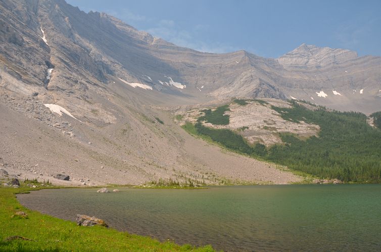
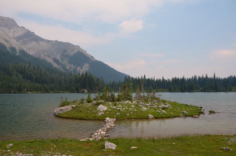
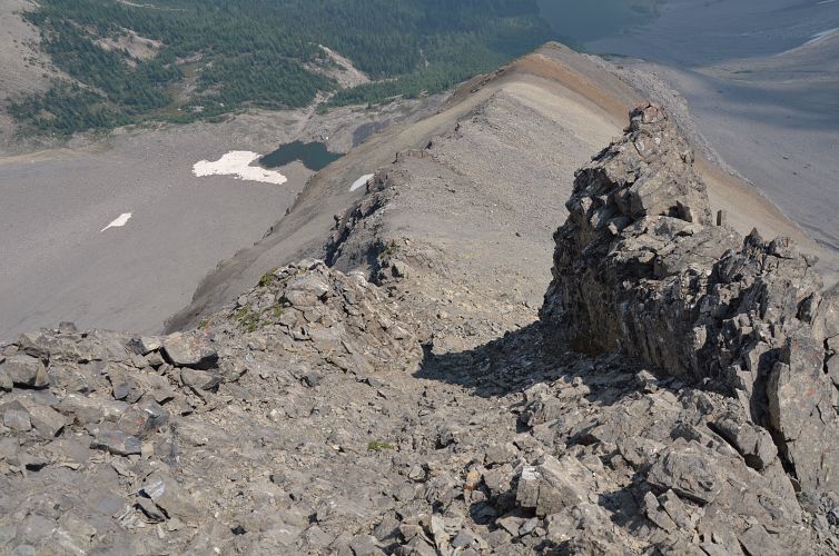
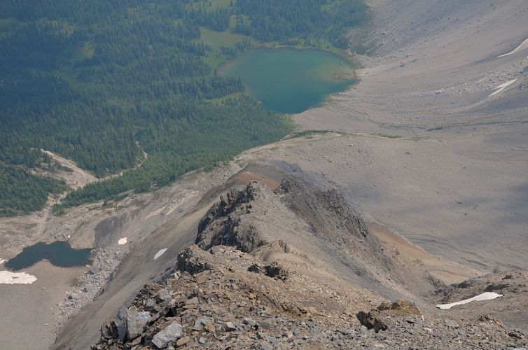
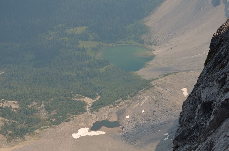
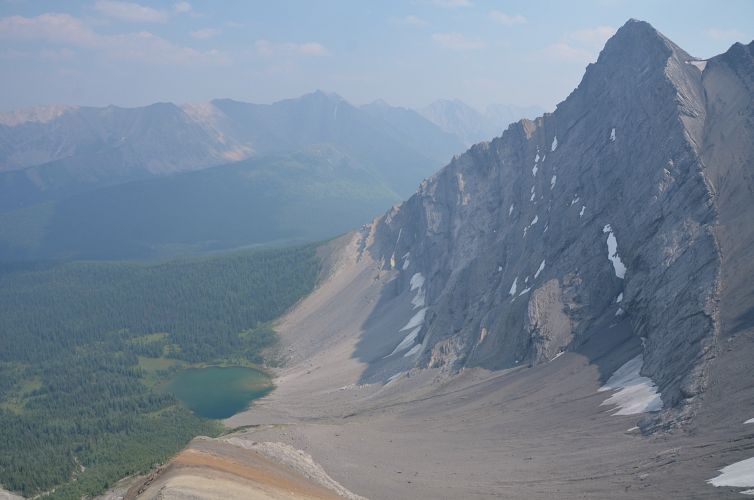
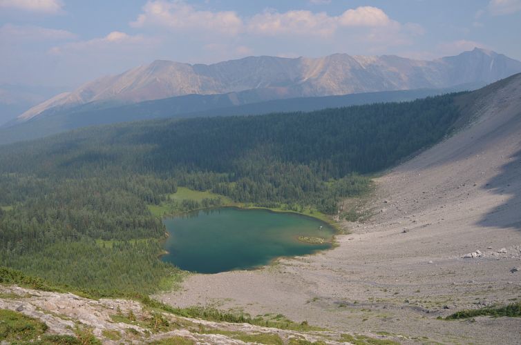
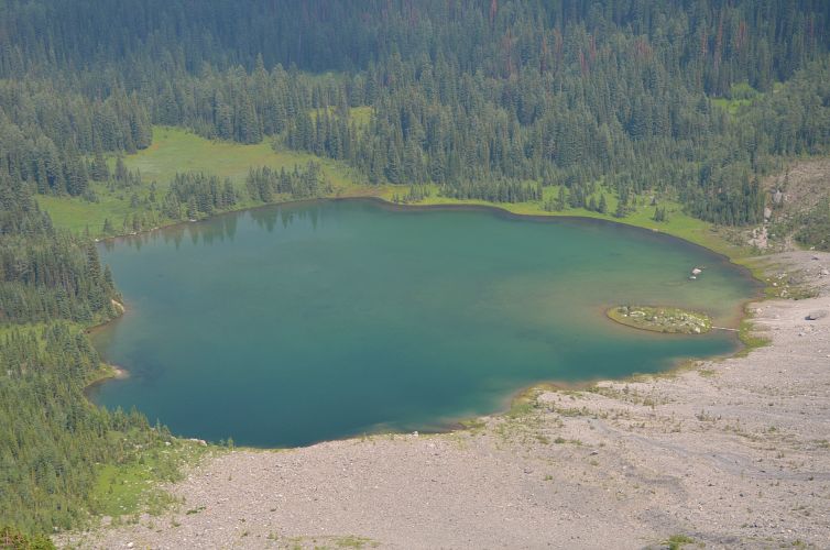
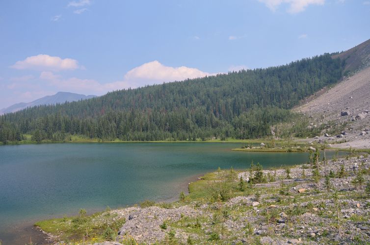
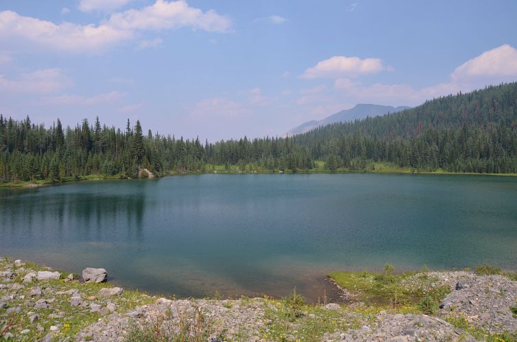
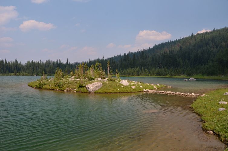
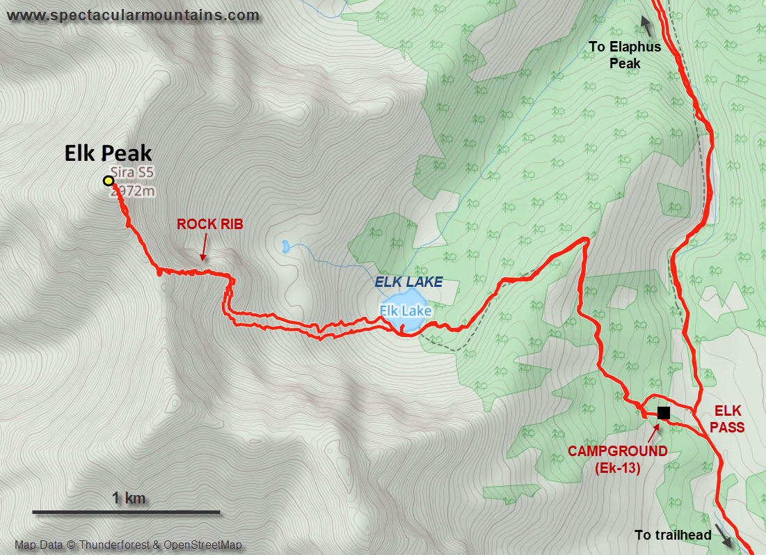
I dropped my heavy pack at the deserted campground and then continued on a side trail that rises through the forest on the northeast side of the pass to Elk Lake. It’s only about 2 km from the campground, and even if you’re not planning to ascend Elk Peak, visiting this little lake tucked away in a high alpine cirque is well worth it! There is even a tiny island, about 4 x 6 metres in size, that you can reach by way of a miniature rock bridge.
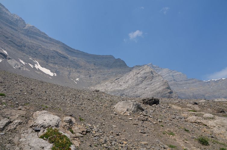
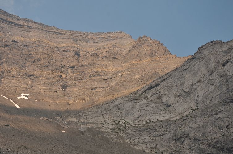
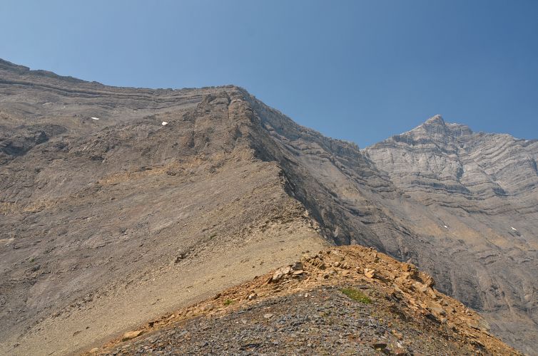
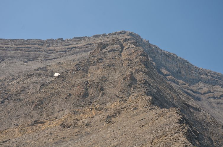
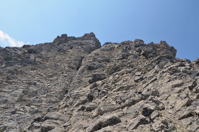
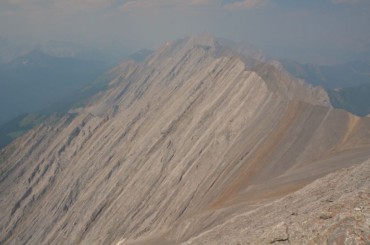
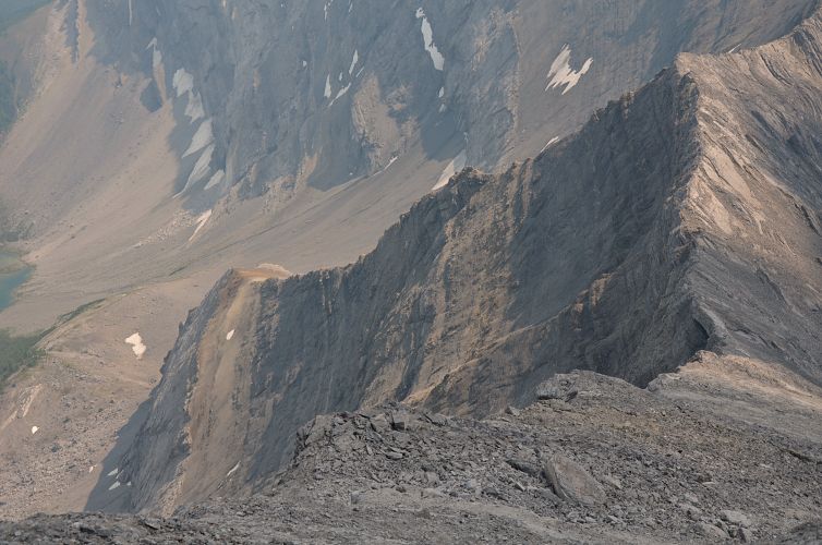
The lake sits at the foot of a wide slope of scree and talus reaching down the east face of the high ridge above. Near the top and to the right of this slope, a rocky rib runs up the face all the way to the top of the ridge. Despite looking rather intimidating from below, in my opinion this is a great ascent route involving good moderate to difficult scrambling with decent holds. After trudging up the talus field, I gained the rib and immediately found myself climbing up some pretty cool chutes and rock ledges. A helmet is a must here as some of the rock can be loose and there is quite a bit of exposure in a few places. There is some fun routefinding in micro-terrain, and as long as you stay on or near the spine you can scramble your way all the way up. Near the top the rib flattens out and there is some annoying loose rubble, then the last hurdle is to overcome a short vertical rock band either straight up or via a weakness on climber’s left.
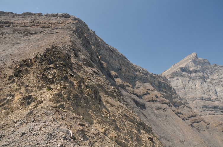
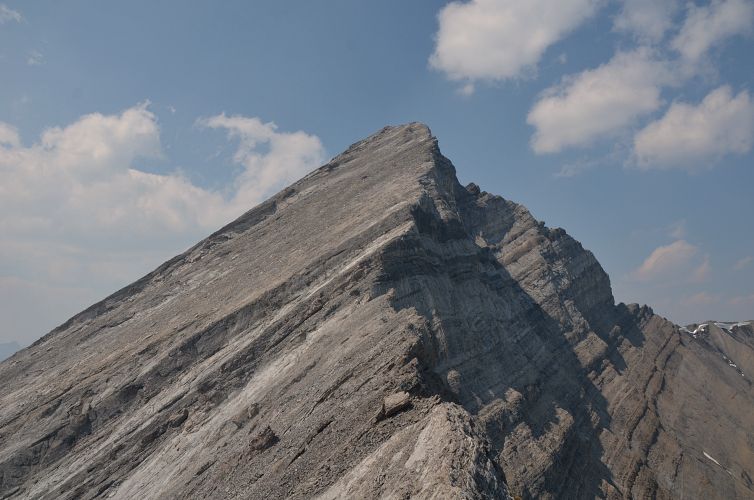
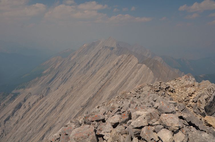
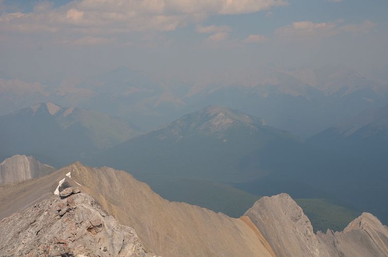
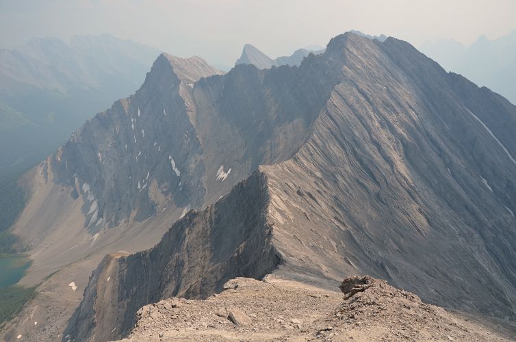
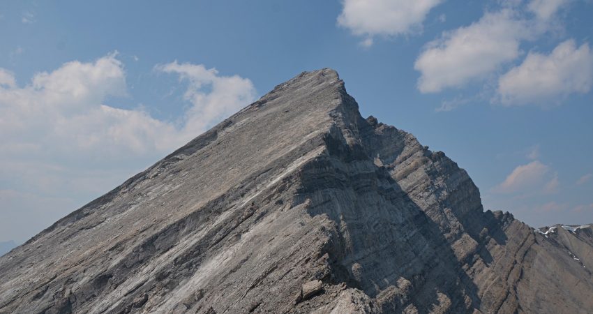
Once on the ridge top, the summit of Elk Peak is another 200 m of elevation gain further north. I was glad to see the main difficulties behind me and the rest of the ascent along the ridge was indeed quite straightforward and enjoyable (easy to moderate scrambling). Although you can’t see the lake from the top, the panoramic views of empty valleys and rugged peaks – just pure wilderness – are absolutely fantastic.
On descent I took exactly the same route back; the downclimbing wasn’t as hard as I had expected but I took it slow and steady. I enjoyed another quiet break at the lake in solitude, then hiked down the trail to the campground where I got ready for Elaphus Peak.
|
Elevation: |
2971 m (my GPS) |
|
Elevation gain: |
1840 m |
|
Time: |
10.0 h |
|
Distance: |
31.6 km |
|
Difficulty level: |
Difficult (Kane), T6 (SAC) |
|
Comments: |
Stats for Elk Peak only, car to car (excluding Elaphus). |
|
Reference: |
Peter Nelson and own routefinding. |
|
Personal rating: |
4 (out of 5) |
NOTE: This GPX track is for personal use only. Commercial use/re-use or publication of this track on printed or digital media including but not limited to platforms, apps and websites such as AllTrails, Gaia, and OSM, requires written permission.
DISCLAIMER: Use at your own risk for general guidance only! Do not follow this GPX track blindly but use your own judgement in assessing terrain and choosing the safest route. Please read the full disclaimer here.