Prokletije, Montenegro
28 August 2018
With Tilo & Wen
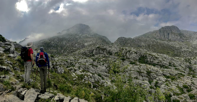
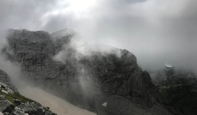
In the clouds above Montenegro
Zla Kolata is technically the highest mountain in the tiny Balkan country of Montenegro. Most locals, however, appear to regard the more famous Bobotov Kuk in Durmitor National Park as their highest point as the latter is entirely within Montenegro whereas Zla Kolata shares its summit with Albania.
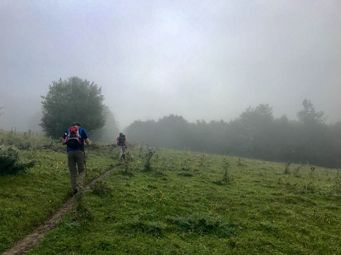
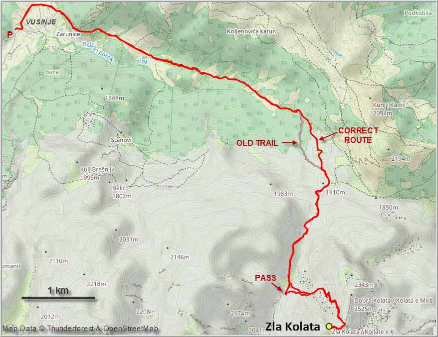
Overall Zla Kolata is not a difficult ascent. Technical challenges are few and the entire route is well-marked; nonetheless this is still a big day with lots of elevation gain and about 20 km to hike. And we certainly felt our legs at the end of the day!
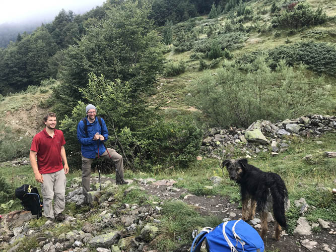
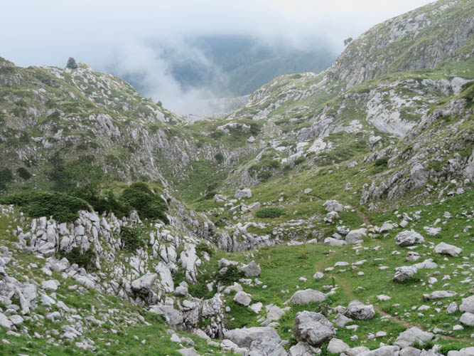
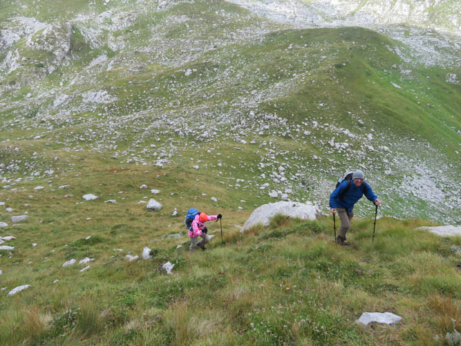
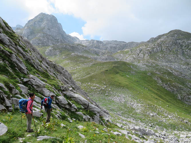
The trail starts in the village of Vusinje (great free camping here near the Grla waterfall) and slowly ascends through lush forest and meadows to a shepherd’s farmhouse. We had a lovely dog follow us from the village all the way to the top – even the pretty aggressive shepherd’s dogs couldn’t scare it off. “Scruffy”, as we called our new friend, simply tagged along the whole day, content with the few pieces of sausage we fed him.
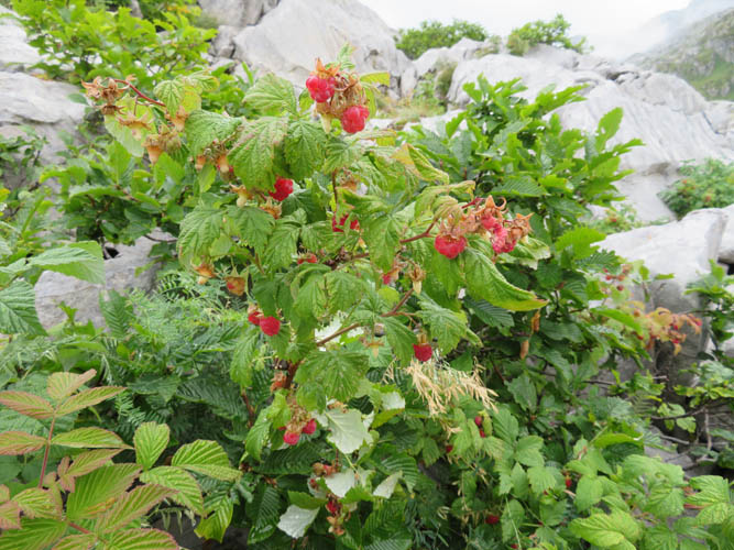
Past the farmhouse and nearing the intersection with another trail branching off to Plav, we found a whole bunch of wild raspberry bushes growing in the craggy karst terrain – delicious! The route to Zla Kolata is part of the “Peaks of the Balkans Trail” and we met several groups of hikers (mostly Germans) doing this impressive multi-day traverse.
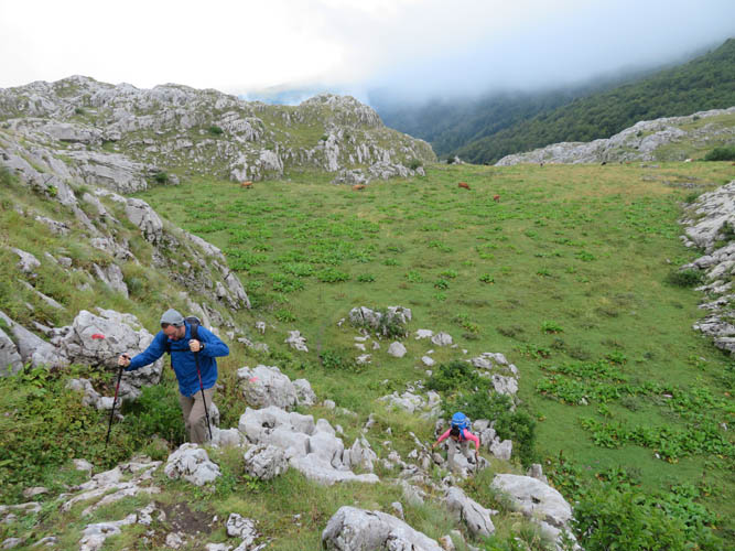
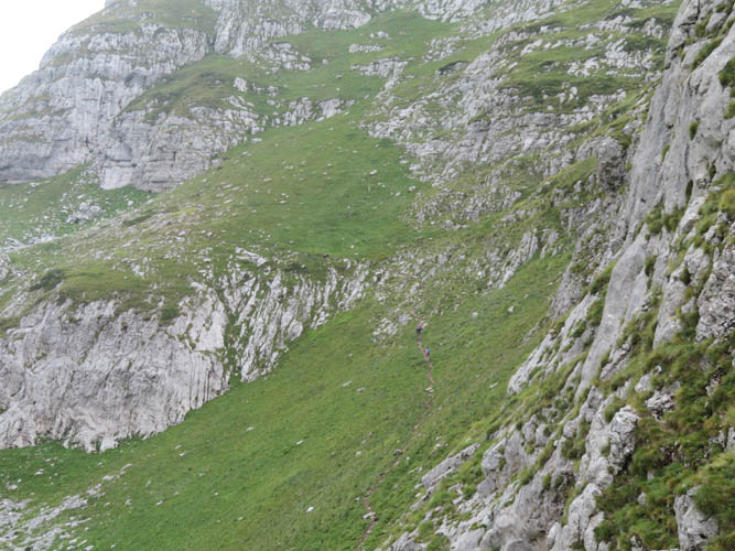
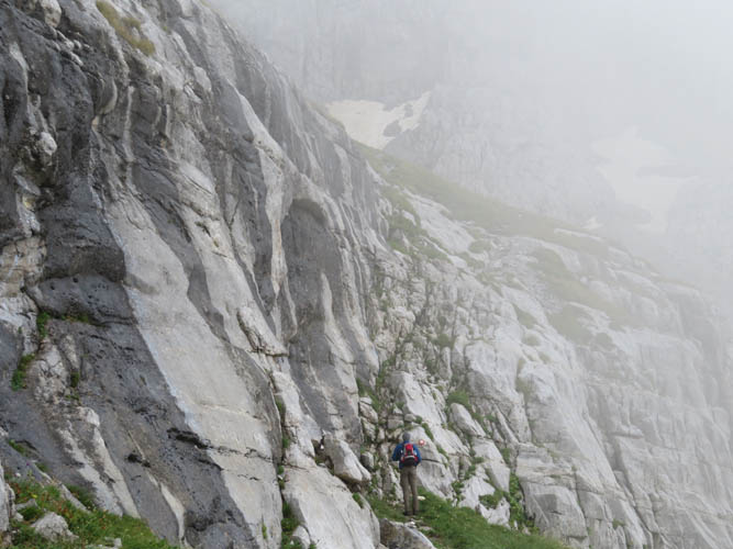
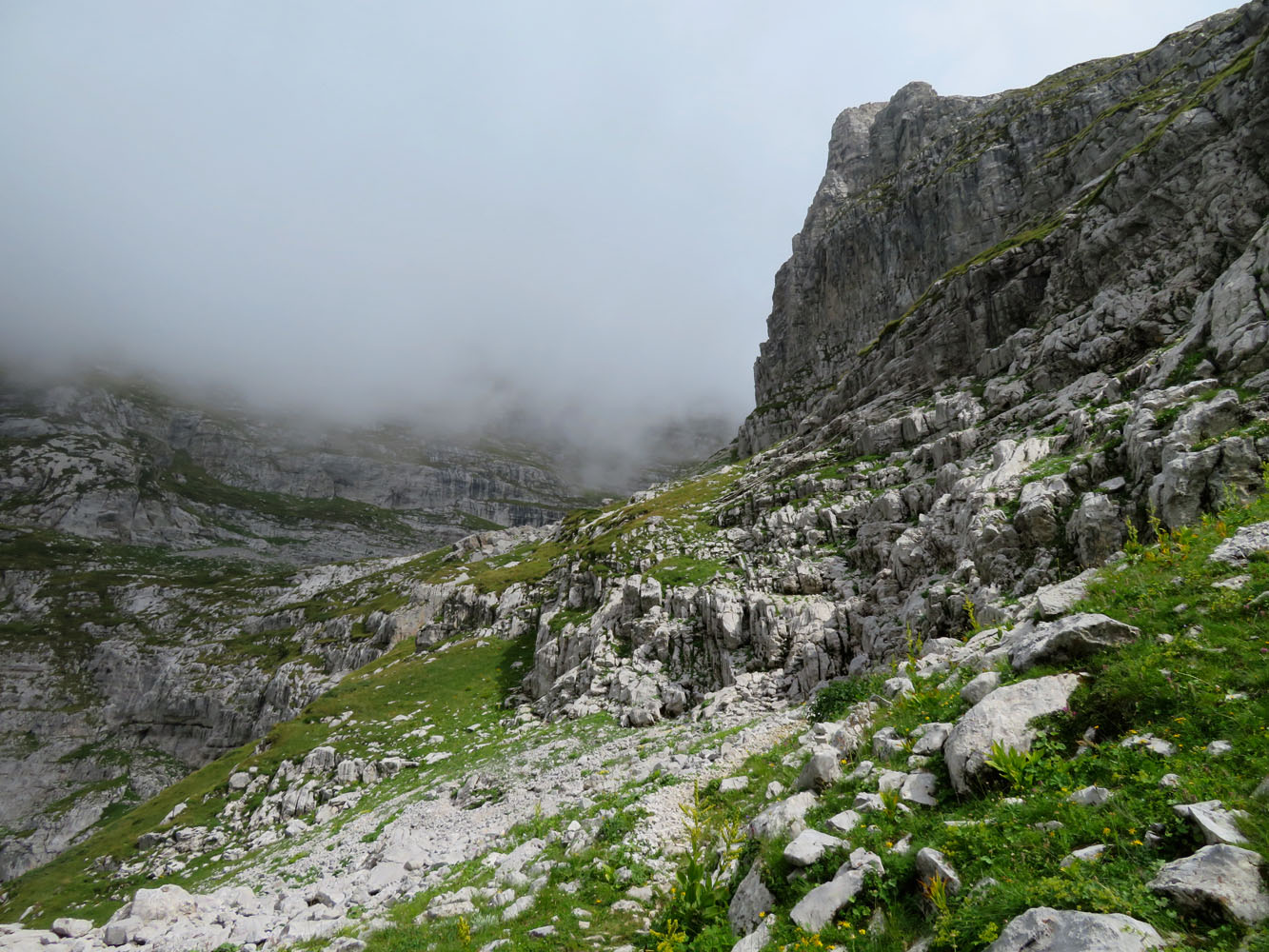
Near the top the trail reaches a pass, a wide saddle that sits right on the border between Albania and Montenegro. Curiously, there are no markers or signs demarcating the boundary. After a much-needed rest, we headed east on grassy slopes and a small scree field towards the summit mass. The terrain is steeper here and involves the odd bit of hands-on scrambling, but it’s all pretty straightforward.
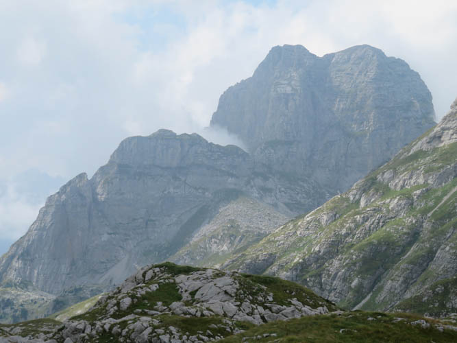
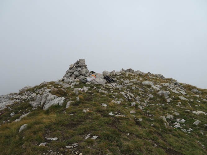
After 5 hours of hiking we finally stood on the summit of Montenegro’s highest peak and Scruffy the dog went straight for a nap! It was too bad it was such a cloudy day because we basically had almost no views to speak of. On a sunny day, this must be a fantastic vantage point overlooking many remote peaks and valleys of Prokletije Park and the Albanian Alps.
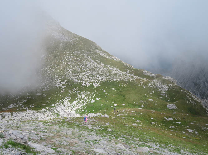
On the way down we took the same route with the exception of one small stretch between the trail intersection and the farmhouse. Here, we got suckered into an old trail that was pretty overgrown and hard to follow, although it does show up on my navigation app. The detour was short, however, and we were soon back on the main trail.
Zla Kolata was a thoroughly enjoyable day hike in a very scenic part of Montenegro’s highest mountains. Unlike crowded Durmitor, it’s quiet and peaceful here and you might even have the summit to yourself if you’re lucky.
Practical information:
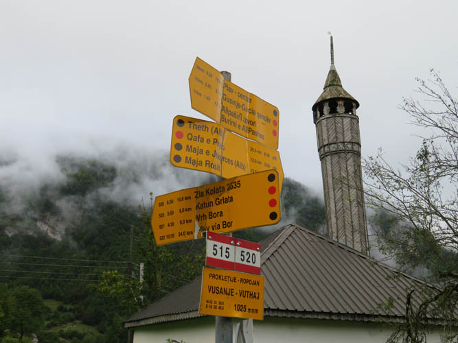
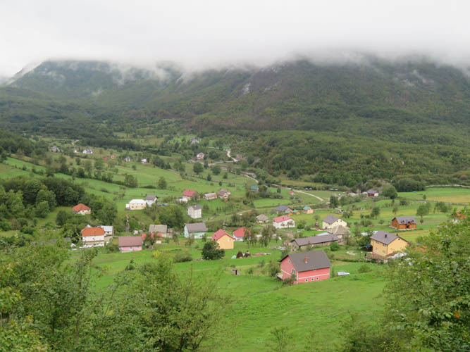
- The trailhead is in the village of Vusinje (near Gusinje) which can be reached by car from Podgorica in about 3-4 hours.
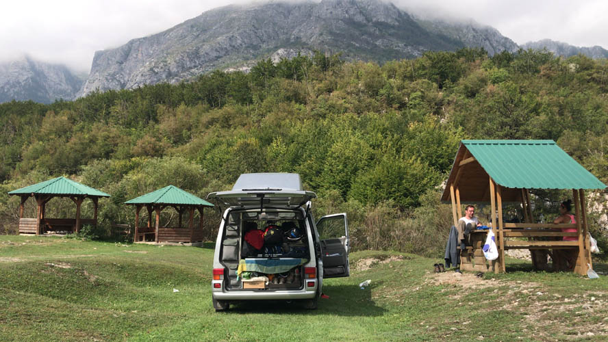
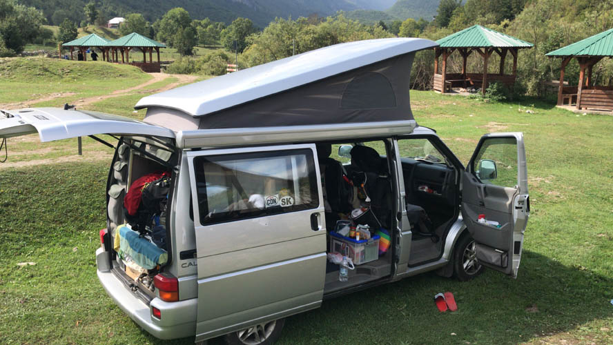
- There are lots of small guesthouses and homestays in Vusinje. Free camping is also possible across the restaurant by the Grla waterfall.
- The town of Gusinje is only a few km away and has several hotels, supermarkets, restaurants, etc.
- No permits necessary to climb the mountain.
| Elevation: | 2535 m (official), 2513 m (my GPS) |
| Elevation gain: | 1650 m |
| Time: | 10 h |
| Distance: | 19.8 km |
| Difficulty level: | Easy (Kane), T3 (SAC) |
| Reference: | Local maps |
| Personal rating: | 4 (out of 5) |
DISCLAIMER: Use at your own risk for general guidance only! Do not follow this GPX track blindly but use your own judgement in assessing terrain and choosing the safest route.