 Kananaskis, Canada
13 July 2017
Solo
Great hands-on scrambling with plenty of routefinding challenges on Evan-Thomas’s west ridge
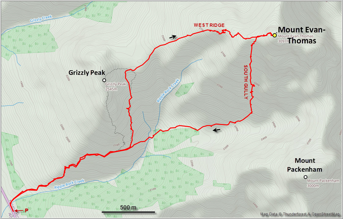
As one of the less frequently ascended Kananaskis peaks that are visible from Highway 40, Mount Evan-Thomas now sees more regular visits after being included in both Kane’s 3rd edition of Scrambles in the Canadian Rocky Mountains and Nugara’s 2nd edition of More Scrambles follow-up book. Nugara describes the moderate route up the south gully, while Kane also mentions the difficult west ridge as an option to ascend this mountain.
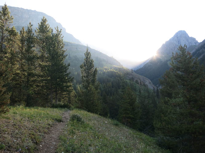
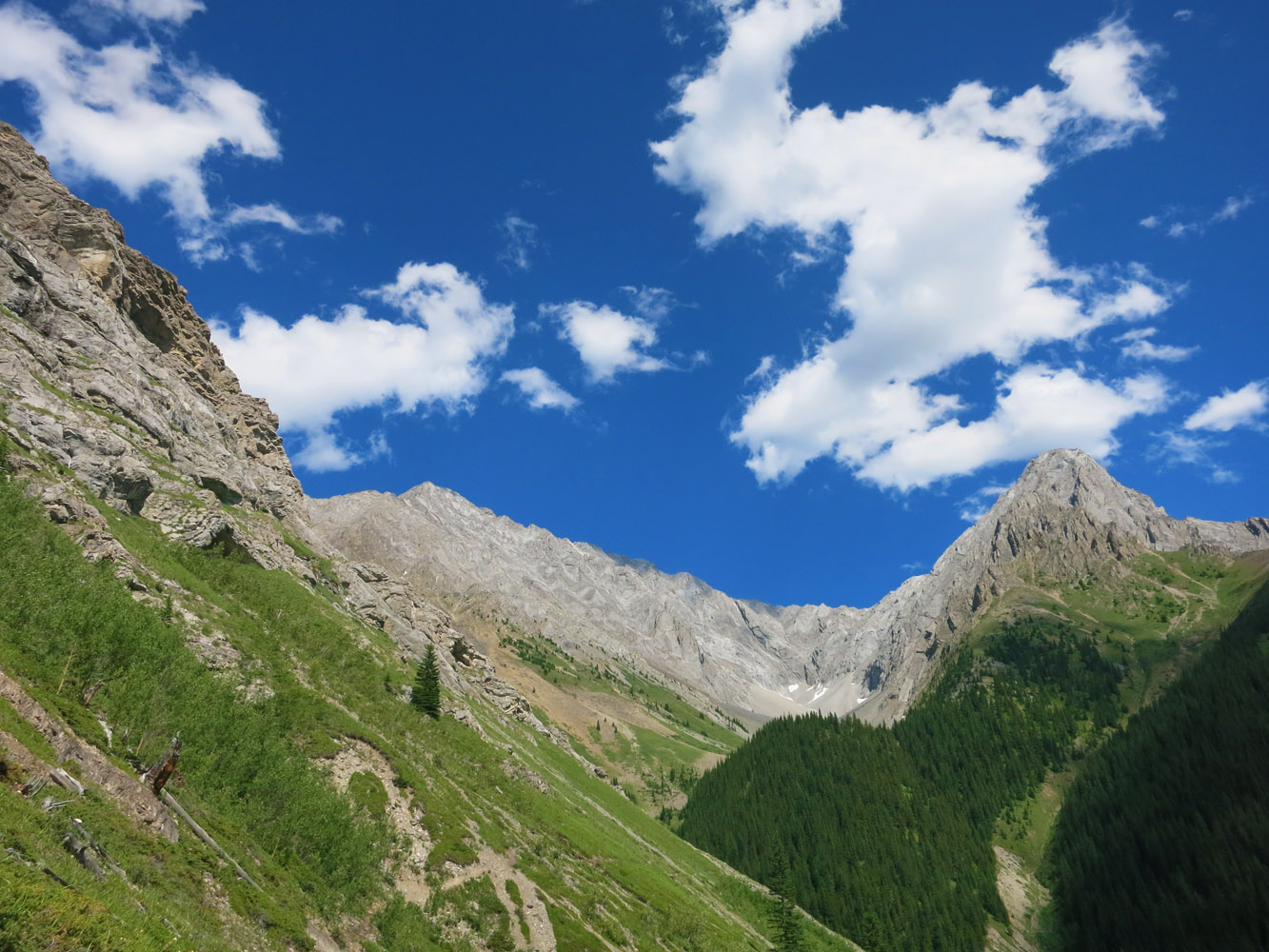
I picked a beautiful sunny July day to combine the two routes, which made for a very satisfying trip with a good variety of terrain and difficulty levels. Hiking up Ripple Rock Creek from the road towards the col between Grizzly Peak and Evan-Thomas was very pleasant and straightforward. I think it’s because of Grizzly Peak’s popularity as an easy and short destination that the approach trail up the north side of the creek is in such great condition – lots of cairns here and easy to follow. It was a Thursday, so I didn’t see anybody else on the trail when I tramped up and reached the col after about 1.5 hours (I did see one party headed towards Grizzly Peak on my way back).
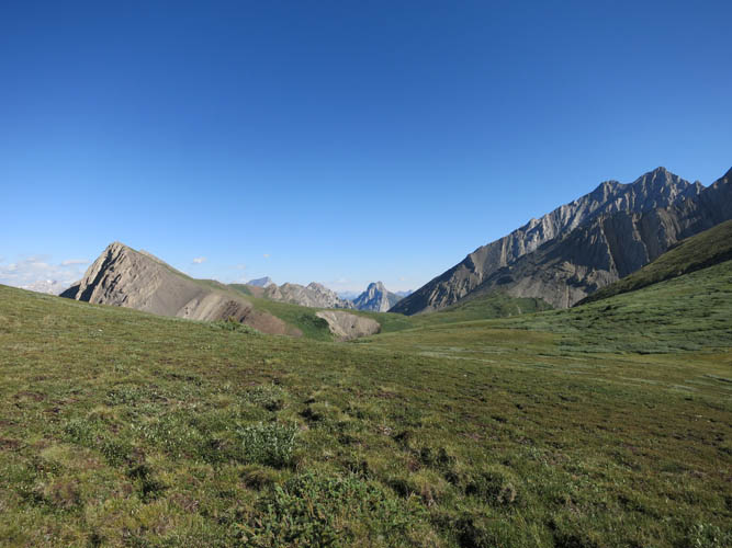
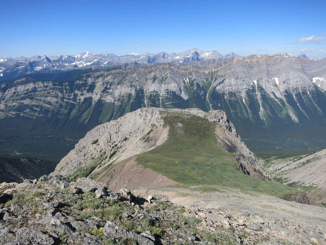
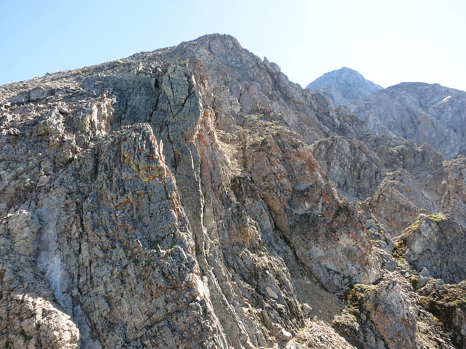
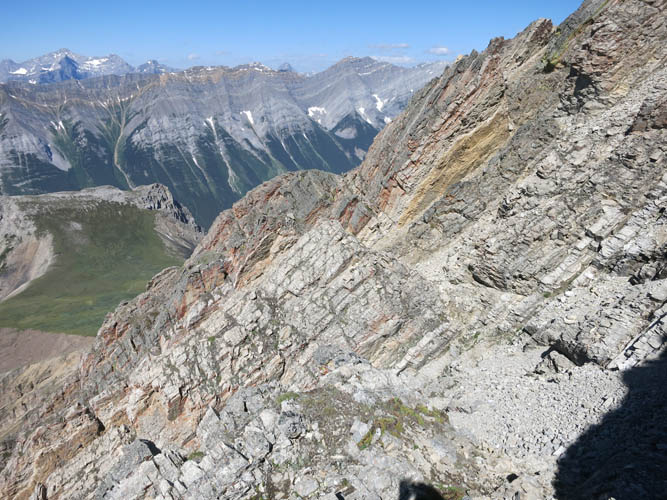
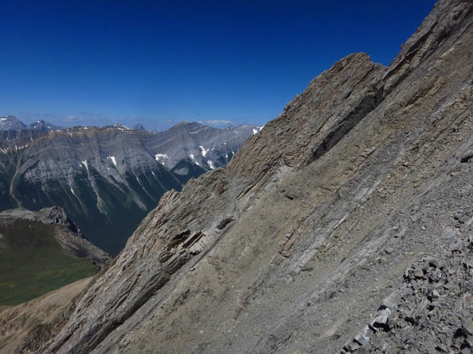
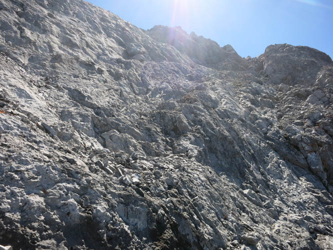
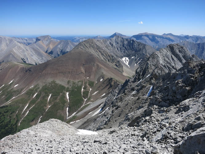
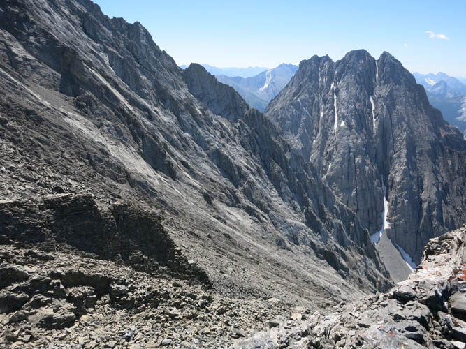
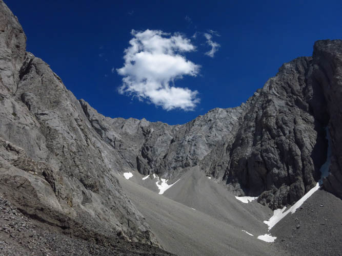
From the col, I turned east and slogged up a broad grassy slope until the vegetation disappeared and the west ridge became well-defined and rocky. Instead of continuing higher up, then having to downclimb and lose “significant elevation” to avoid a steep pinnacle, as Kane puts it, I decided to follow what looked like a faint game trail on the south side of the ridge. The terrain ahead of me certainly looked rough and complicated, with numerous steep ribs, gullies and overhangs to negotiate, but I was curious about the challenge and thought I should give it a try. I could see the pinnacle Kane mentions in the distance higher up, so if I stayed at this elevation there might be a way to traverse on the south face and avoid going all the way up and back down the ridge. Thankfully, it all worked out! My route took me around and over a whole series of rock ribs, mostly involving moderate scrambling although a few spots required some difficult moves. Everything on this face here looks confusingly similar, so I had to build a few cairns to help me find my way back in case my route wasn’t a go. After some minor elevation loss (perhaps 20 m), I came out in the main gully described by Kane that avoids the major pinnacle above.
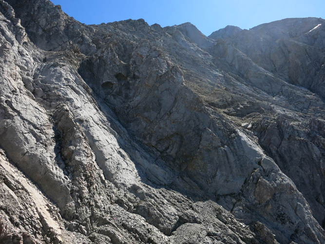
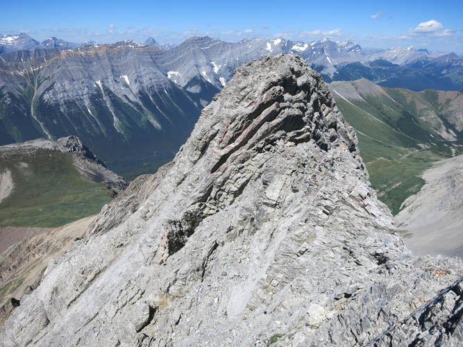
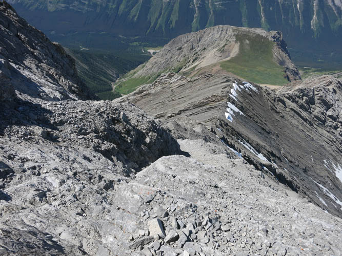
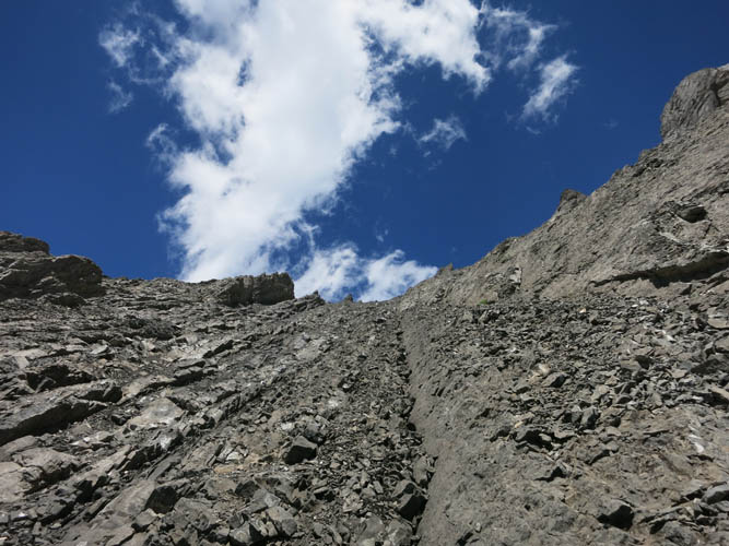
Once back on the ridge, it was only a short distance with a few moderate to difficult steps to a small saddle from which the descent gully originates. The steepest and final section to the summit was now ahead of me, however I didn’t find this part overly demanding. There are lots of slabs with loose rubble strewn across, but if you move slowly and carefully pick the best route (typically along the crest, then along a scree-covered gully to the left higher up) it’s not really that hard.
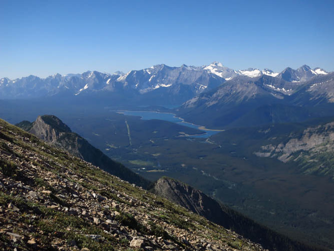
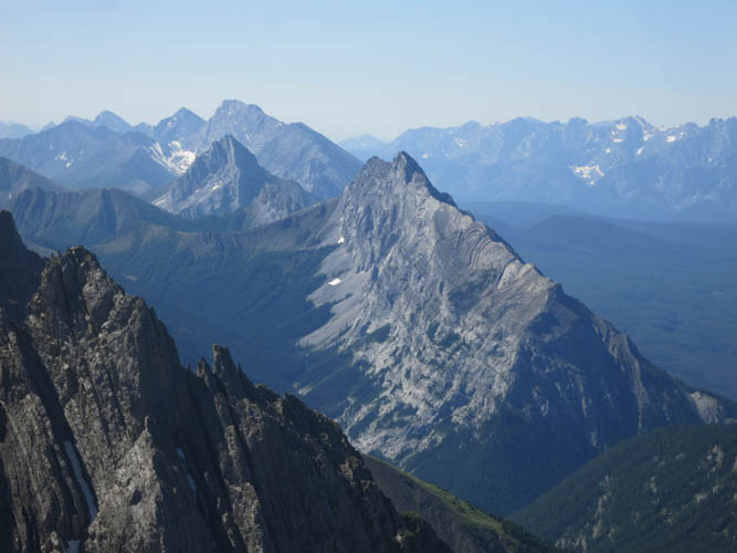
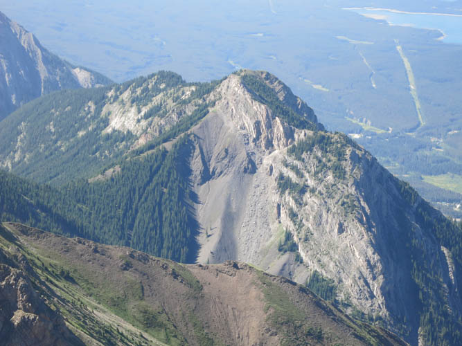
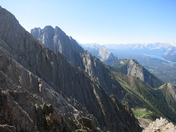
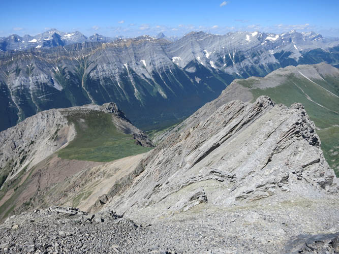
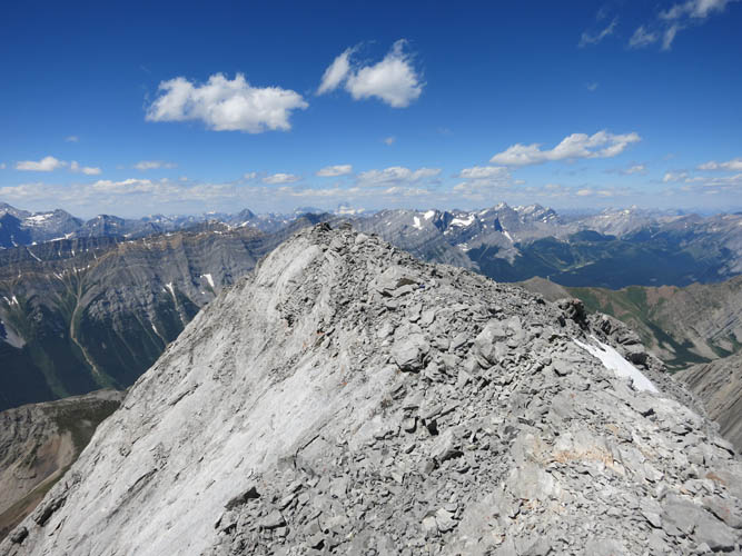
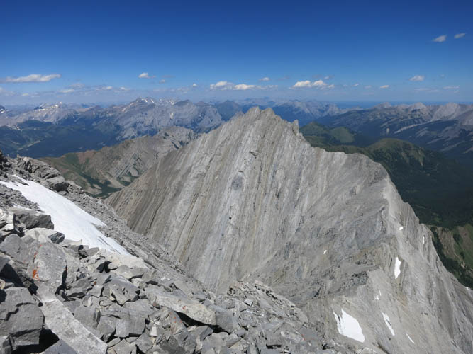
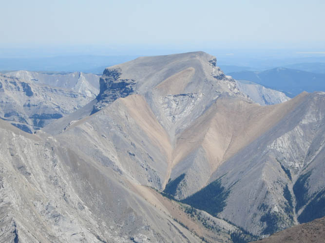
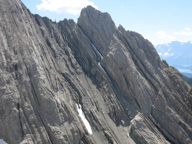
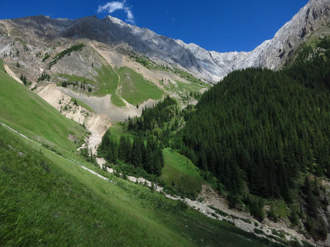
The summit views were impressive. A beautiful green expanse of pristine meadows and forests stretches out in the valley below towards Fisher Peak in the northeast. And directly east of here there’s a very enticing looking peak, an unnamed outlier of Evan-Thomas. It’s a fairly stately peak standing by itself and I’m surprised it doesn’t have a name, official or unofficial. The well-preserved summit register of Mount Evan-Thomas from 1991 bore the names of perhaps a handful of ascent parties for each of the last few years, but none yet for 2017.
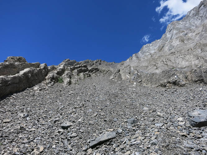
On descent, I took Nugara’s suggested route down the south gully from the saddle. There is very little scree to slide on here. Much of the gully consists of solid but steep rock steps covered with rubble, so it takes some time and patience to get down. This is certainly a much easier route to take both up and down as compared to the west ridge.
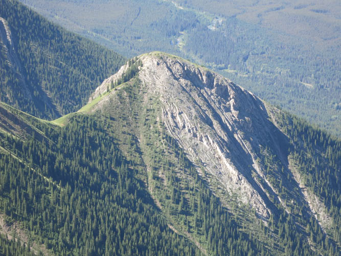
I really enjoyed being back down in the grassy cirque that sits between Evan-Thomas and impressive Mount Packenham. There is no trail here but wandering over meadows and past small patches of spruce back to the well-trodden Grizzly Peak trail was just a delight. A fantastic day out in beautiful Kananaskis.
|
Elevation: |
3098 m (official), 3079 m (my GPS) |
|
Elevation gain: |
1550 m |
|
Time: |
7.5 h |
|
Distance: |
9.5 km |
|
Difficulty level: |
Difficult (Kane), T5 (SAC) |
|
Reference: |
Kane, Nugara |
|
Personal rating: |
4 (out of 5) |
NOTE: This GPX track is for personal use only. Commercial use/re-use or publication of this track on printed or digital media including but not limited to platforms, apps and websites such as AllTrails, Gaia, and OSM, requires written permission.
DISCLAIMER: Use at your own risk for general guidance only! Do not follow this GPX track blindly but use your own judgement in assessing terrain and choosing the safest route. Please read the full disclaimer here.