Kananaskis, AB, Canada
8 November 2020
With Richard
Easy Foothills hike
There must be hundreds of Green Mountains around the world, but this one isn’t the most exciting. The only other Green Mountain I ever visited was in the middle of the Atlantic Ocean on Ascension Island, a much more interesting adventure and perhaps the most remote of all “Greens”. The two are hardly comparable, of course. The settings they’re in could not be more different – one a dormant volcano on a subtropical island, the other a bump in the Foothills of the Canadian Rockies.
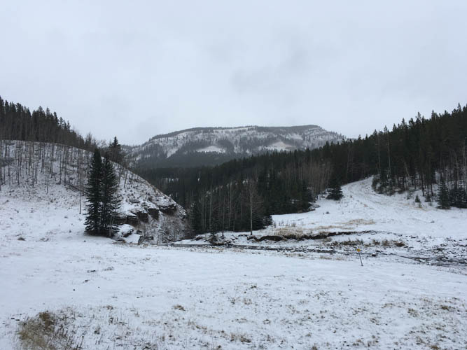
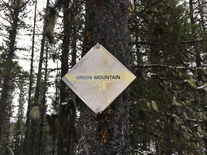
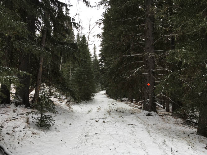
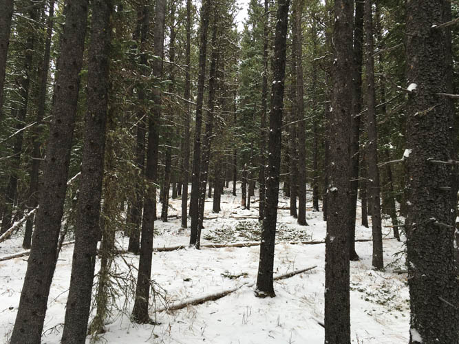
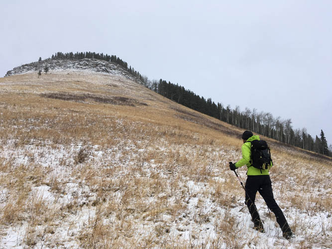
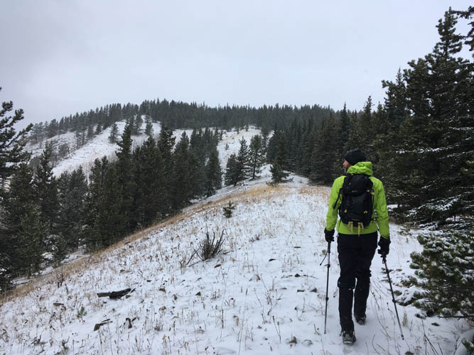
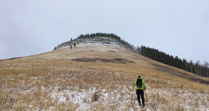
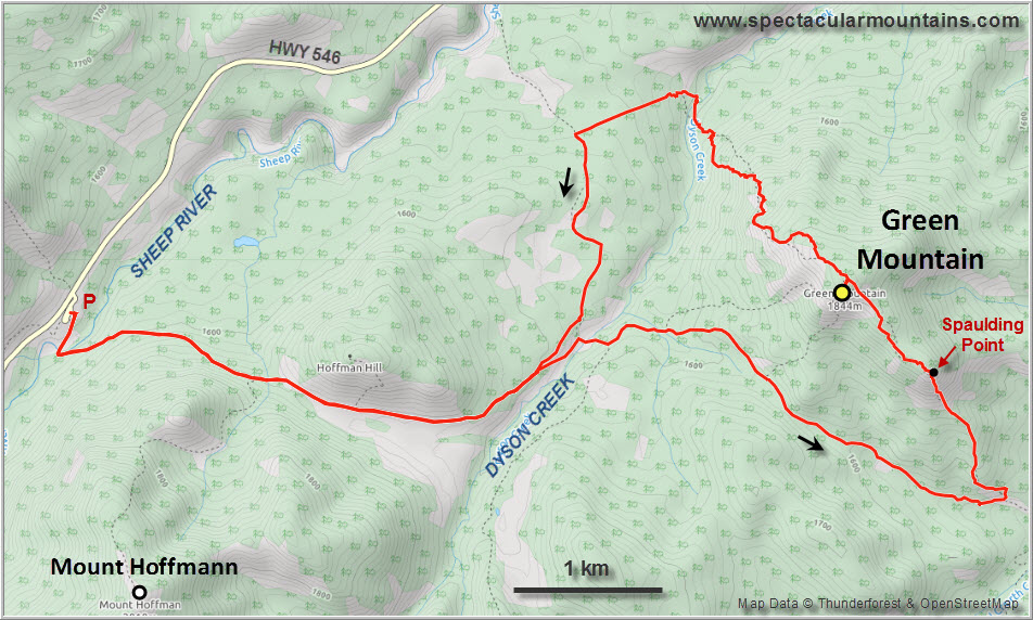
After hiking up Mount Hoffmann a week earlier, Richard and I felt like returning to the Sheep west of Turner Valley to do another Foothills trip. There are a bunch of good trails in the area, but none directly up Green Mountain. The easiest approach is from the Indian Oils parking lot (same starting point as for Mount Hoffmann) where there’s a bridge over the Sheep River. After rock-hopping Dyson Creek we followed the signed “Green Mountain Trail” for a while, then turned south along another good path to reach the start of the southeast ridge. From here it’s an easy, trail-less hike up the broad ridge on grass and through sections of light forest, perfect for a winter outing with a thin layer of snow on the ground.
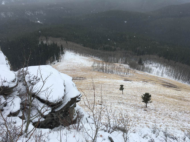
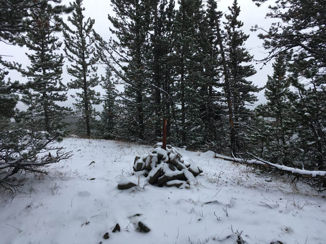
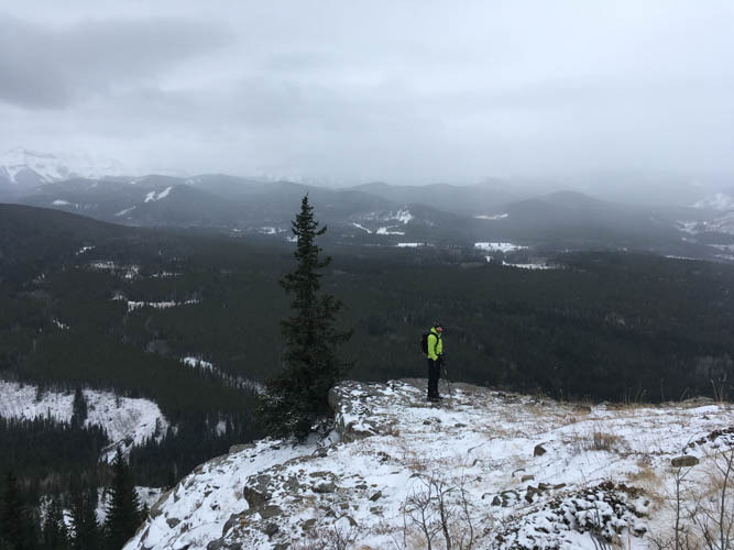
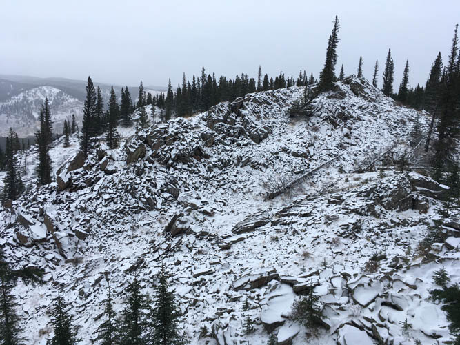
When we reached a big cairn sitting on a rocky ledge overlooking a wide grassy slope with good views south we thought we had arrived at the summit. This was what is marked as “Spaulding Point” on maps. Not quite the high point yet, but arguably a more scenic place than Green Mountain’s treed summit which we reached a short while later.
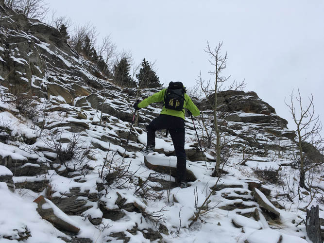
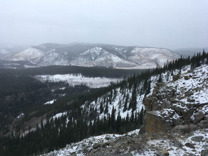
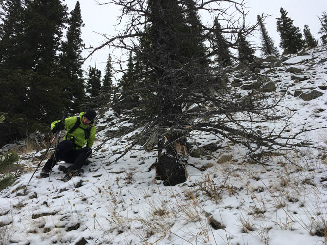
There are several ways off the summit, the most straightforward probably being the one described by Bob Spirko. I haven’t done it, but it sounds much more pleasant than what we ended up doing (his ascent route). Initially sticking to open stretches of grass on the northwest ridge, we eventually veered right and had to put up with a nasty area of awkward talus followed by a steep section of mud and grass that was extremely slippery due to the snow cover. We were glad to put this behind us when we got to the cutline in the valley that took us back to our approach trail from the morning.
Overall a nice but unexciting hike that perfectly suits a wintry shoulder season day. The southeast ridge worked well and Spaulding Point was probably the “highlight”, whereas our descent route can definitely not be recommended.
|
Elevation: |
1847 m |
|
Elevation gain: |
750 m |
|
Time: |
5.5 h |
|
Distance: |
18.6 km |
|
Difficulty level: |
Easy (Kane), T2 (SAC) |
|
Reference: |
Spirko, own routefinding |
|
Personal rating: |
2 (out of 5) |
NOTE: This GPX track is for personal use only. Commercial use/re-use or publication of this track on printed or digital media including but not limited to platforms, apps and websites such as AllTrails, Gaia, and OSM, requires written permission.
DISCLAIMER: Use at your own risk for general guidance only! Do not follow this GPX track blindly but use your own judgement in assessing terrain and choosing the safest route. Please read the full disclaimer here.