Kananaskis, AB, Canada
20 October 2021
With Richard
Quintessential K-Country ridge walk
Mist Ridge is a classic and beautiful ridge walk that is both easy and super scenic. People sometimes combine it with a scramble of Gibraltar Mountain, but it’s also a great destination on its own, especially in late summer or fall.
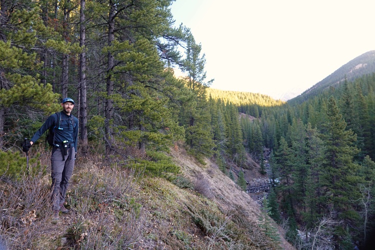
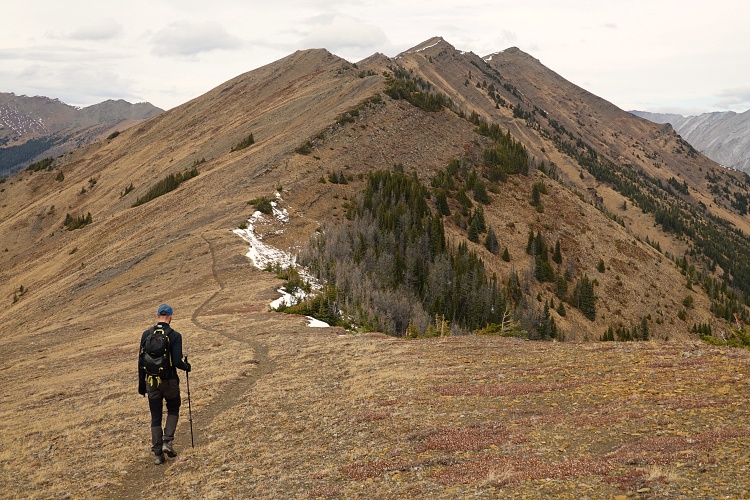
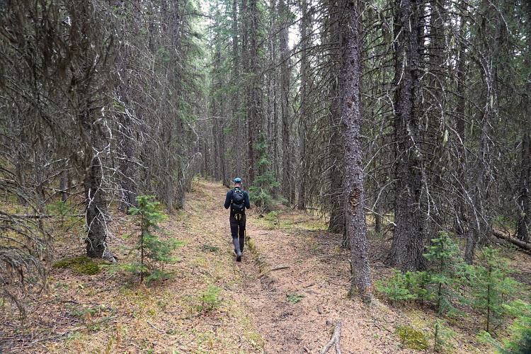
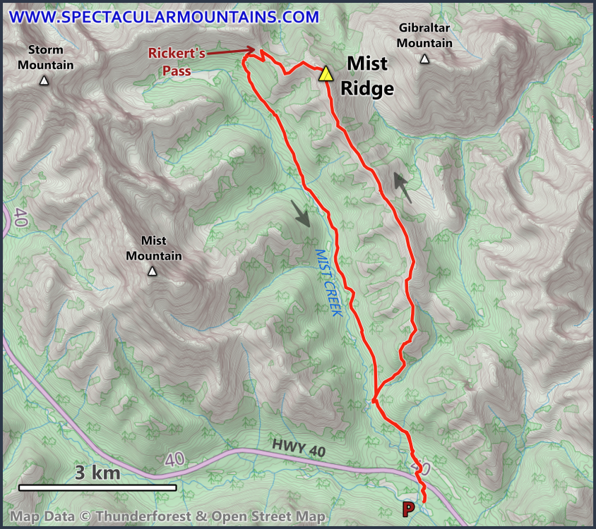
The usual way to approach the ridge is via the old exploration road that goes up the small valley between Mist Ridge and South Mist Hills, then zig-zags up the SE side of the ridge. We wanted to try out a lesser known approach section – route #25 described in Daffern’s K-Country Trail Guide Vol. 5. It starts on the right side just 20-30 m after crossing the small creek that separates Mist Ridge from South Mist Hills. There is a very faint trail that is initially not easy to follow, but generally parallels the creek embankment. After a few hundred metres we lost it and then stumbled upon it again in the forest, now much more well-defined, leading us up the SSW end of Mist Ridge. Soon the terrain opened up and there was no more trail again as we plodded up grass and rocky bits to the ridge top, then shortly after joined the main trail coming in from the right.
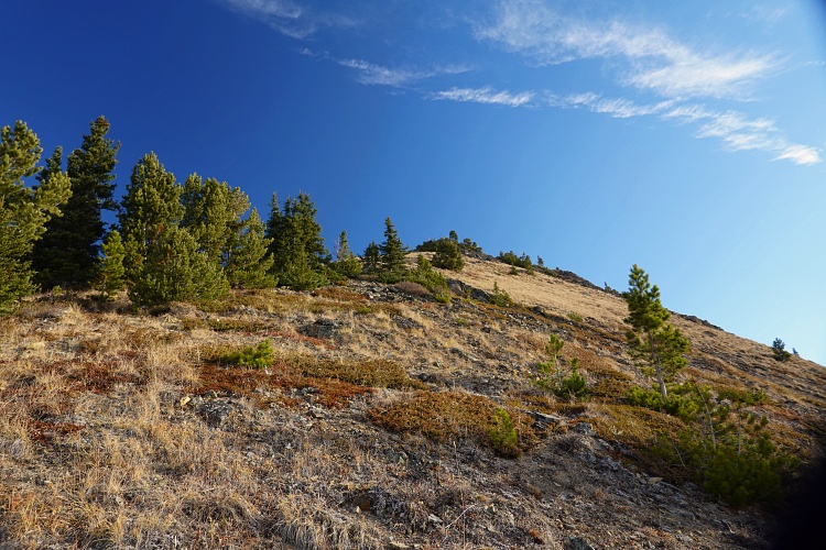
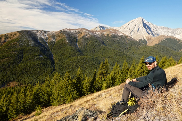
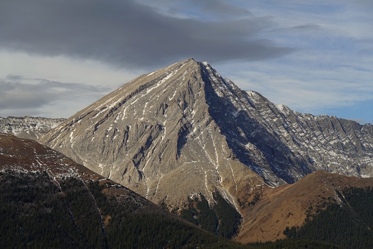
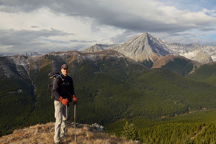
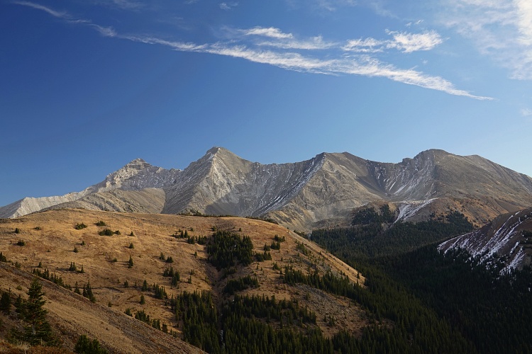
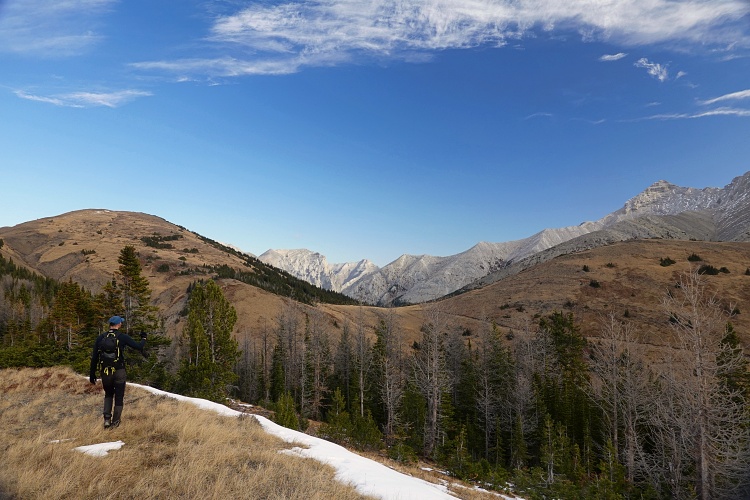
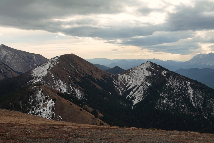
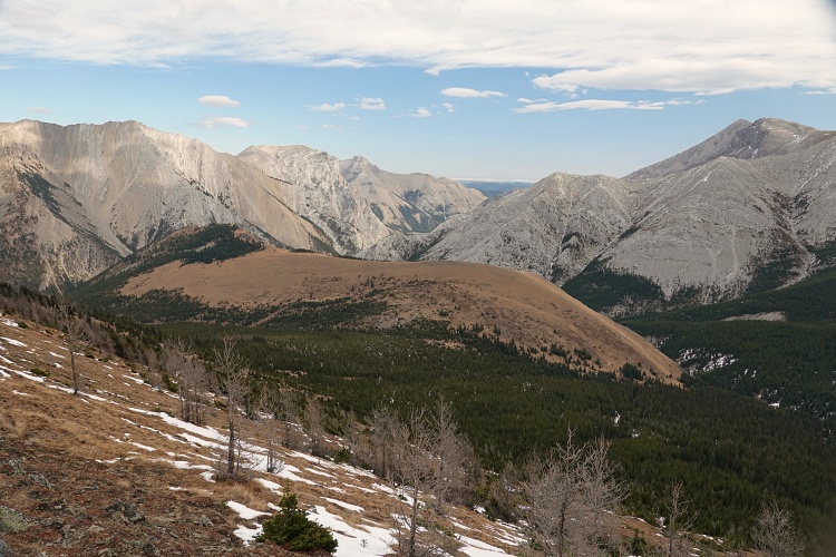
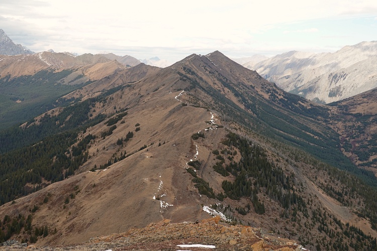
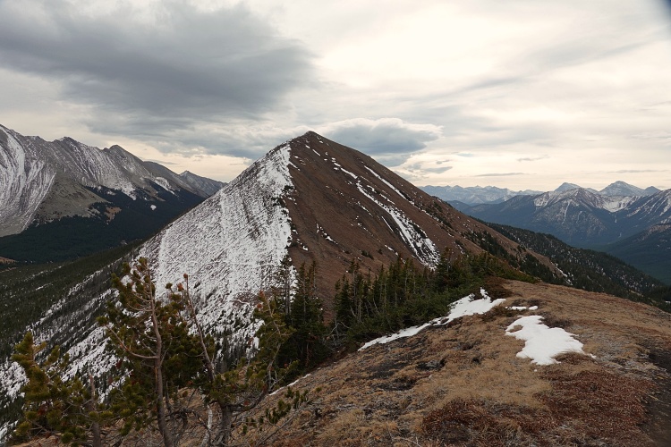
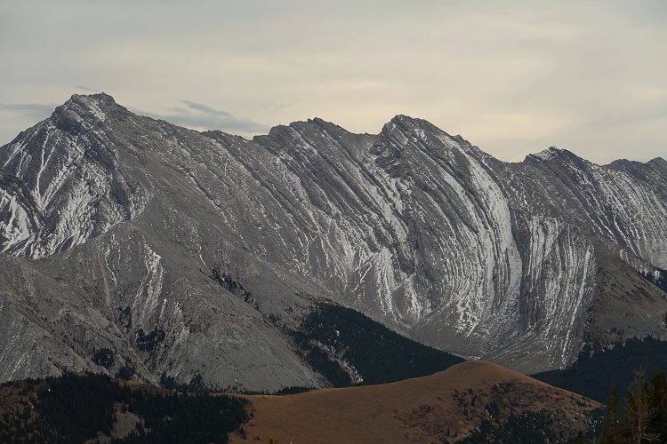
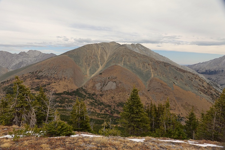
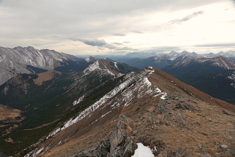
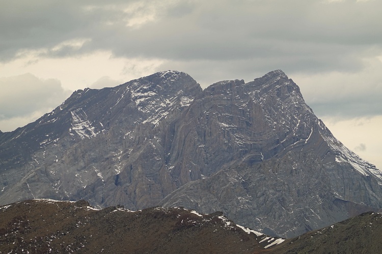
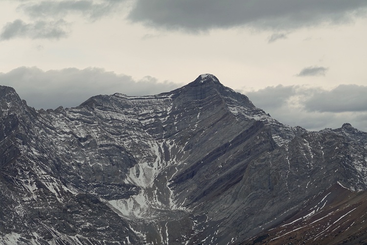
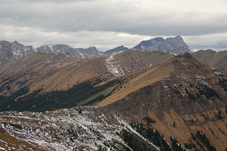
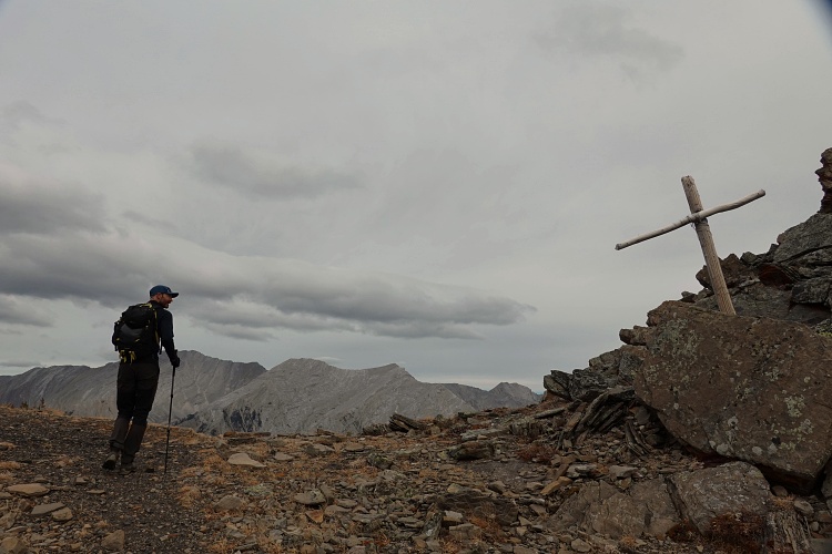
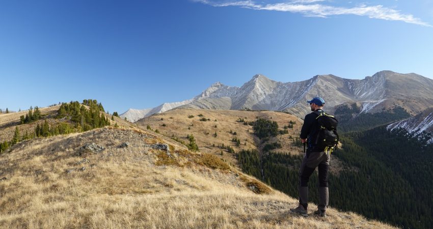
The main part of the Mist Ridge hike involves lots of gentle ups and downs on a mixture of grass and rock, with unimpeded views in all directions. We really enjoyed the relaxed amble while taking in the gorgeous mountain landscape around us – Highwood Peak and neighbors on the right, Mist Mountain and Storm Mountain on the left, and the distinctive Gibraltar Mountain straight ahead. The highest point of the ridge is at the northern end and to get there you’ll have to leave the main trail which sits just below the crest on the west side. The trail then curves around to the northwest to Rickert’s Pass, where another trail descends into Sheep Valley to the north. The trails and landscape around the pass reminded me a bit of what I’ve seen in Switzerland, where high up in the alpine key intersections are often marked by a cross just like the white one seen here.
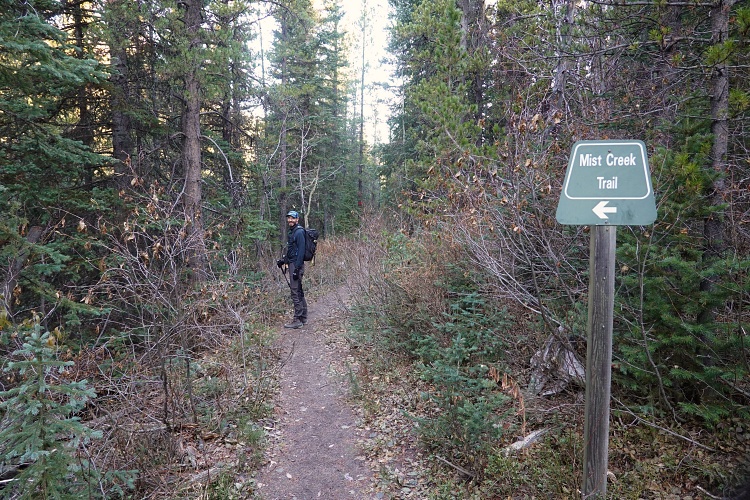
We took a short break at the pass and then hiked down the excellent switchbacks to Mist Creek. The trail down in the valley (Mist Creek Trail) is long and boring – it’s all in the forest, but at least it’s very efficient as the grade is gentle and steady. This would probably also be the fastest approach route for Gibraltar Mountain as it doesn’t have the many ups and downs that you’ll encounter on Mist Ridge itself.
|
Elevation: |
2545 m |
|
Elevation gain: |
1210 m |
|
Time: |
7.5 h |
|
Distance: |
22.4 km |
|
Difficulty level: |
Easy (Kane), T2 (SAC) |
|
Activity: |
Hiking |
|
Reference: |
Daffern |
|
Personal rating: |
4 (out of 5) |
NOTE: This GPX track is for personal use only. Commercial use/re-use or publication of this track on printed or digital media including but not limited to platforms, apps and websites such as AllTrails, Gaia, and OSM, requires written permission.
DISCLAIMER: Use at your own risk for general guidance only! Do not follow this GPX track blindly but use your own judgement in assessing terrain and choosing the safest route. Please read the full disclaimer here.