Kananaskis, Canada
10 May 2019
With Wen
Minimal effort for brilliant views
This little ridge has always been off my radar until I somehow came across it while scanning through some hiking maps the other day. I was looking for a short hike with minimal snow cover/avalanche danger, but also something off the beaten track that would offer us (hopefully) some great views. Etherington-Baril Ridge, also known as Three Cairns, fit the bill perfectly.
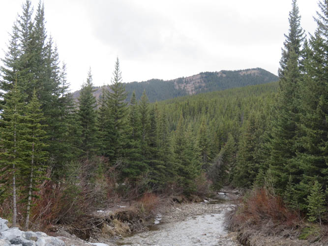
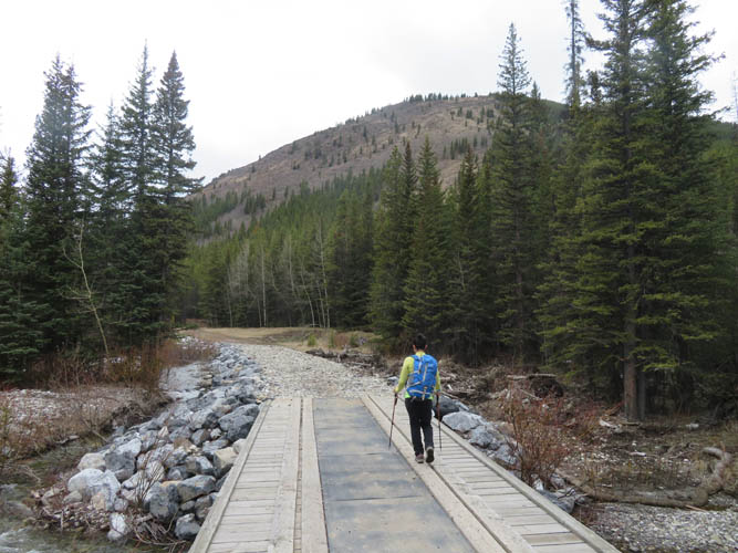
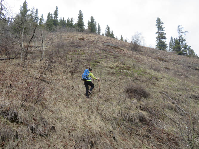
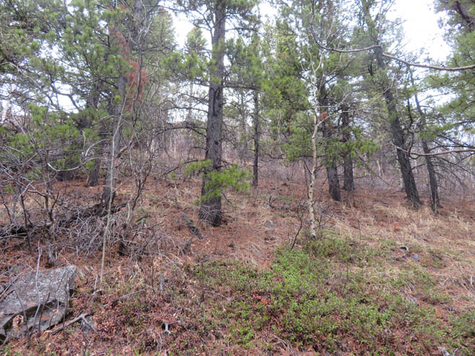
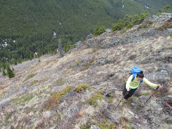
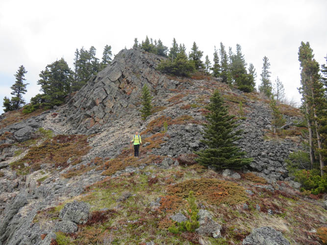
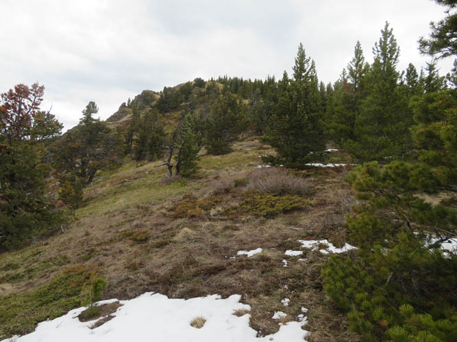
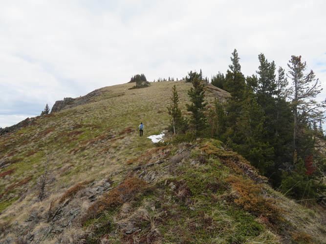
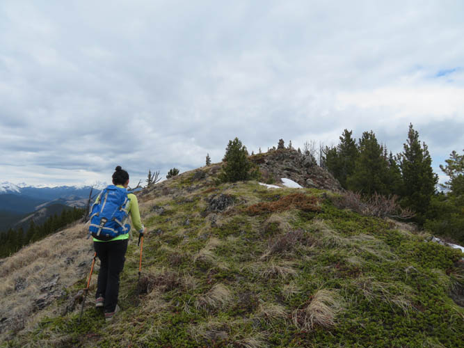
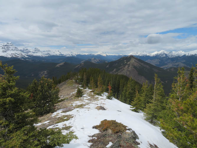
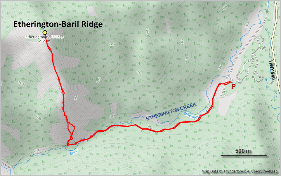
Most of the snow had already melted on the snowmobile trail along Etherington Creek and there was no snow at all when we started up the south end of the ridge. We were quite surprised how steep the initial part of the ridge is! There is no trail, only a few faint game tracks crossing the slope, so we just went straight up and through a small stretch of trees and bushes requiring light bushwhacking. After the initial steep section was done we gained the rocky ridge crest (no scrambling needed) and followed it all the way to the top. We both felt that, other than the short shrubby section, the entire hike was very relaxed and enjoyable.
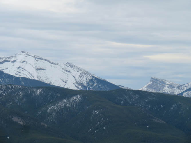
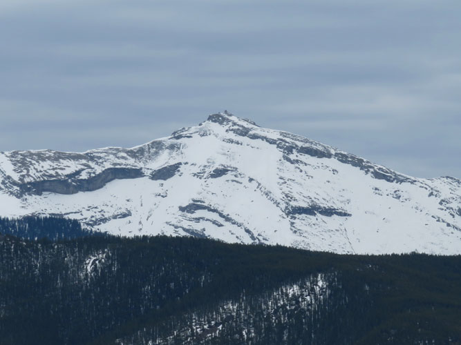
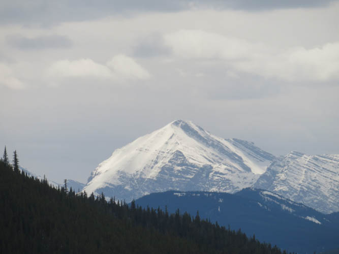
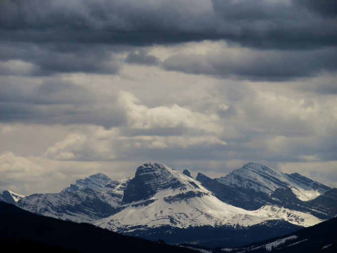
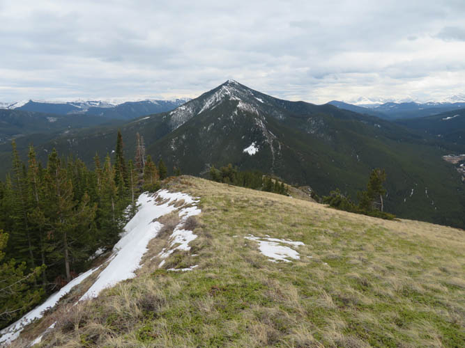
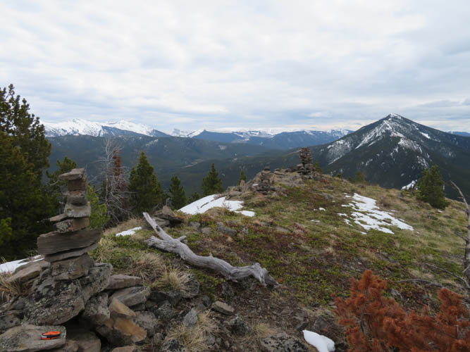
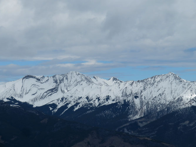
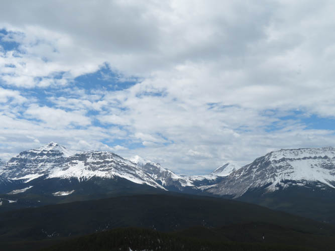
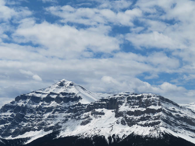
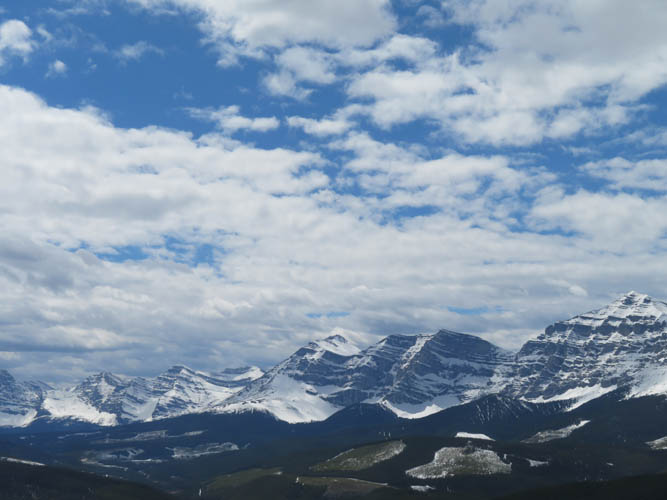
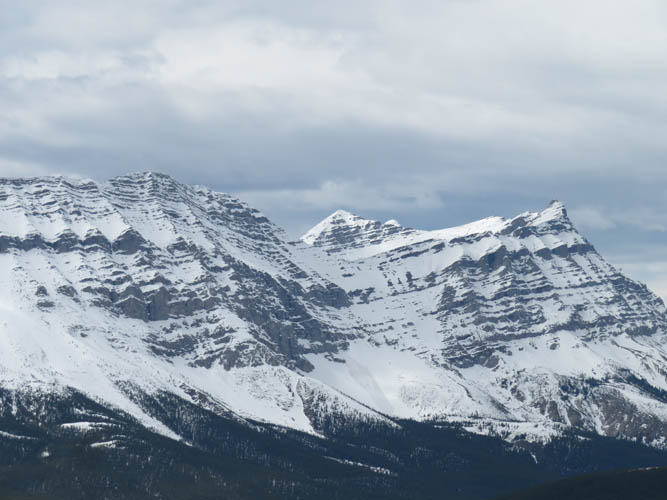
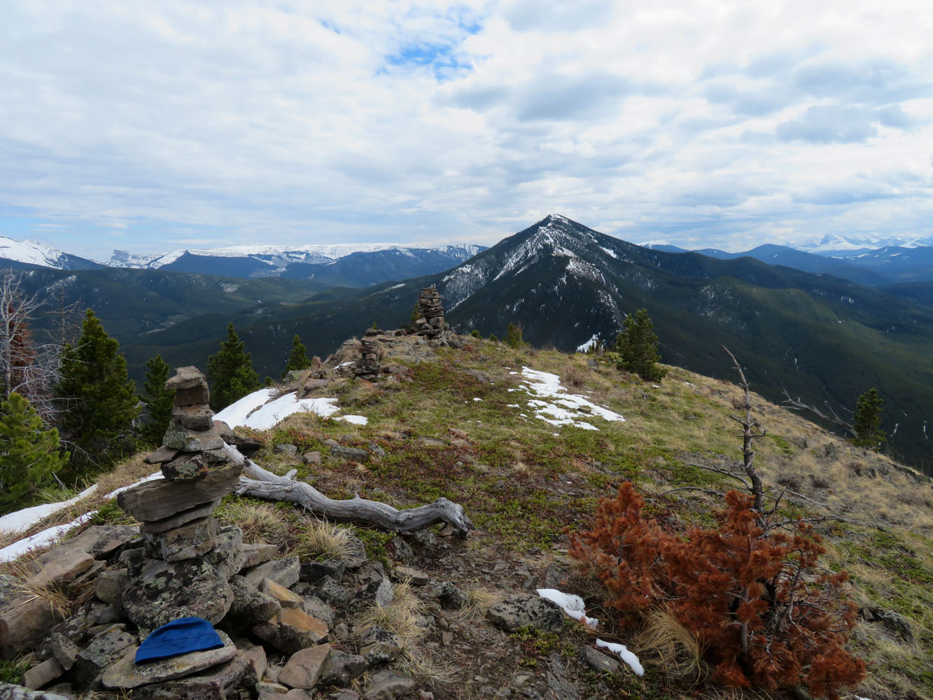
The summit with its three cairns was a great spot to sit down, take a rest, and soak in the beautiful scenery in front of us. Mount Armstrong and Baril Peak are the eye-catchers to the west, while mighty Mist Mountain shows up quite nicely in the distance to the north. It was warm, near windless, and even the sun eventually made an appearance. What a wonderful little piece of heaven here!
After an extended lunch break we leisurely hiked back down the same way. The whole trip ended up taking us a full four hours but I’m pretty sure it could easily be done in three hours or less if you don’t dawdle like we did.
|
Elevation: |
2120 m (my GPS) |
|
Elevation gain: |
510 m |
|
Time: |
4 h |
|
Distance: |
7.2 km |
|
Difficulty level: |
Easy (Kane), T3 (SAC) |
|
Reference: |
|
|
Personal rating: |
3 (out of 5) |
NOTE: This GPX track is for personal use only. Commercial use/re-use or publication of this track on printed or digital media including but not limited to platforms, apps and websites such as AllTrails, Gaia, and OSM, requires written permission.
DISCLAIMER: Use at your own risk for general guidance only! Do not follow this GPX track blindly but use your own judgement in assessing terrain and choosing the safest route. Please read the full disclaimer here.