Flathead, BC, Canada
25 August 2019
Solo
A mountain scarred by logging and mining
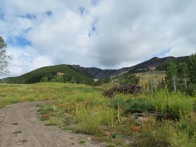
Compared to yesterday’s hugely enjoyable Tombstone traverse with an awesome group in the beautiful environs of the Castle area, today’s solo trip was pretty anticlimactic. It was a cloudy day, with a light drizzle for the first hour, my route involved bushwhacking and ugly logging roads, and the views ranged from mediocre to ugly.
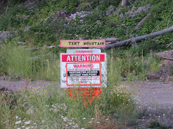
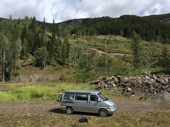
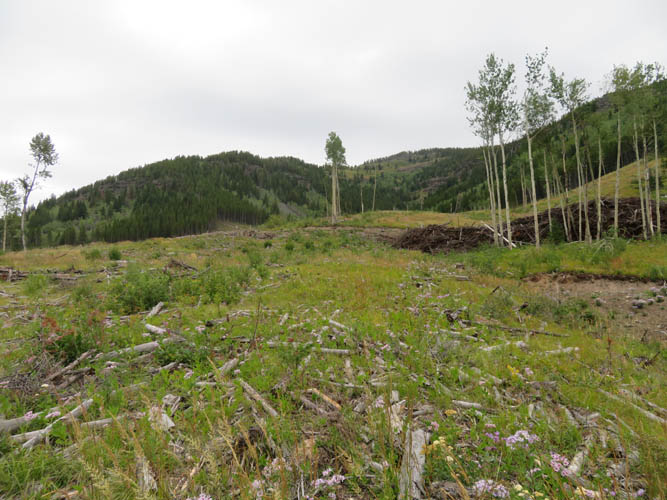
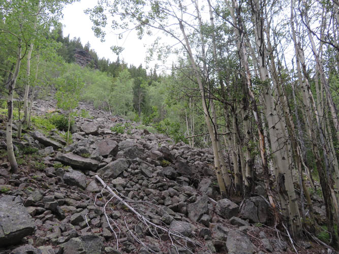
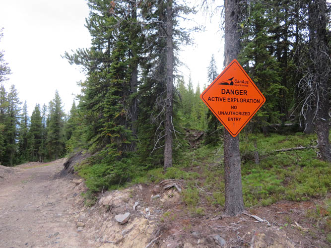
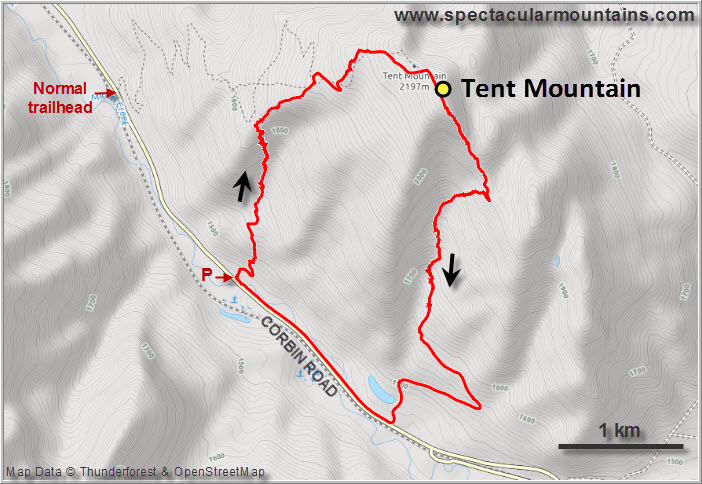
The “normal” route up Tent Mountain had a “No unauthorized entry” sign by the trailhead, so I drove a little further south along the paved Corbin Road to a nice pullout (complete with fire ring and rock seats) just before the Fraser Bridge. No signs or warnings here! The next hour hour or so was spent following intermittent logging roads, crossing clearcuts, slogging up talus slopes, and doing some light bushwhacking to get to the top of the west ridge. Nothing challenging or overly unpleasant, but definitely not exactly pleasant either, especially since the first part of my ascent was accompanied by a light drizzle.
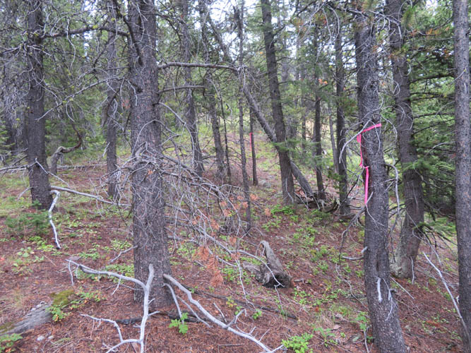
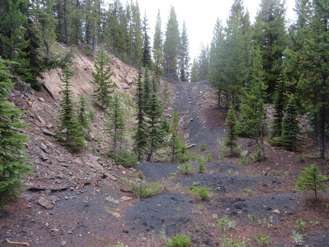
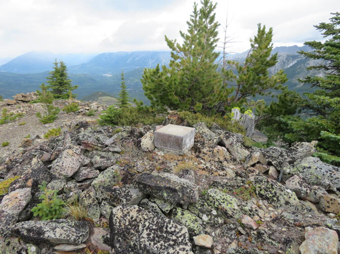
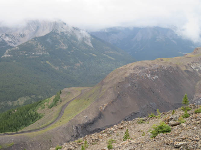
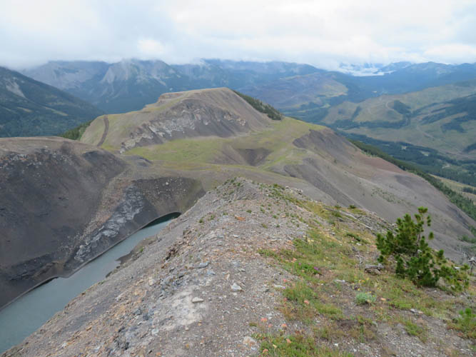
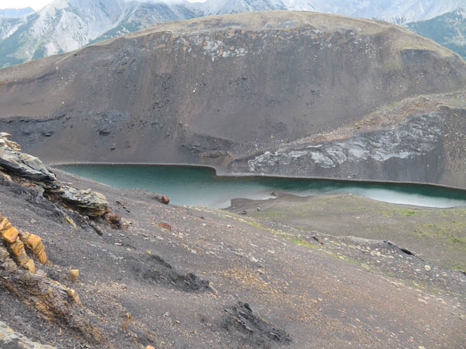
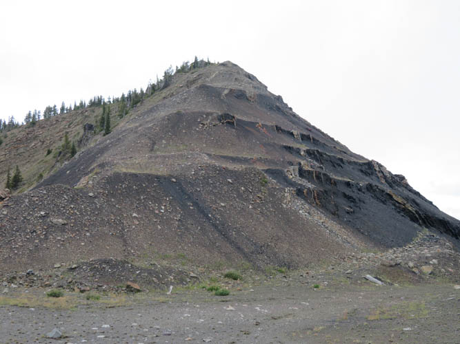
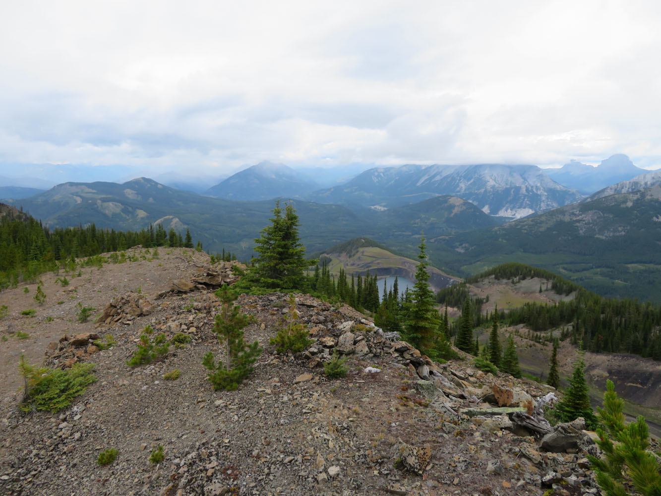
Hiking up the west ridge was slightly more enjoyable. Not much in terms of views, but at least the light forest was easy to cross. Although trail-less, there was some pink flagging (perhaps the boundary of the active exploration area?) that I followed here and there along the edge of the ridge. Higher up I stumbled upon several mud roads/tracks, some of them really old and overgrown, that eventually led me straight up to the summit of Tent Mountain. Looking down the northeast side from the summit is quite a sight – it’s both interesting and quite ugly! A huge open-pit mine has been carved into the side of the mountain and surrounding hills, with large swathes of the land here turned black and grey. Coal is big business in this region, and Tent Mountain has the misfortune of being almost entirely made of this stuff.
After surveying the vast slopes of coal, piles of sludge, myriad mining roads, and small artificial lakes in between, I decided to not retrace my steps but to traverse the mountain in a clockwise manner in the hope for a better descent route.
The uppermost part of the south ridge is right at the edge of the coal mining area and there are huge piles of debris that have been pushed off the ridge here. I followed the ridge down, then plunge-stepped down some soft coal slopes into a little valley filled with talus. There was a short stint of dense bushwhacking to get out of the valley, then I was on a logging road again that easily led down to the road. I still had to walk back about 2 km to my car, but I didn’t mind… the sun finally came out and I was quite glad I had the ugly logging roads, mine scars, and bushwhacking behind me! Not a trip I’m eager to repeat.
Note: There are “No unauthorized entry” signs in several places around and on Tent Mountain. While I didn’t knowingly enter any of these signed areas, it is of course possible I inadvertently crossed into them somewhere along my route. Things can change quickly in areas of active exploration, so always make sure to check the current situation before heading out.
|
Elevation: |
2187 m (my GPS) |
|
Elevation gain: |
810 m |
|
Time: |
4 h |
|
Distance: |
10.5 km |
|
Difficulty level: |
Easy (Kane), T2/T3 (SAC) |
|
Reference: |
None for this route |
|
Personal rating: |
1 (out of 5) |
NOTE: This GPX track is for personal use only. Commercial use/re-use or publication of this track on printed or digital media including but not limited to platforms, apps and websites such as AllTrails, Gaia, and OSM, requires written permission.
DISCLAIMER: Use at your own risk for general guidance only! Do not follow this GPX track blindly but use your own judgement in assessing terrain and choosing the safest route. Please read the full disclaimer here.