Kananaskis, AB, Canada
23 September 2017
With Richard
Easy hike with fantastic snow landscapes
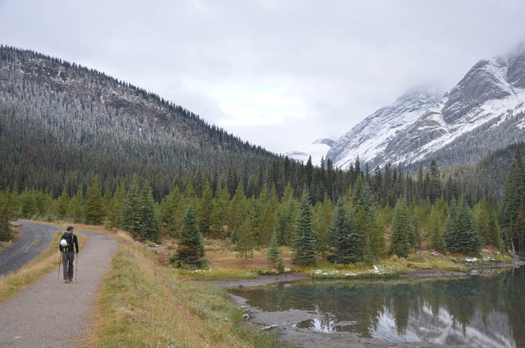
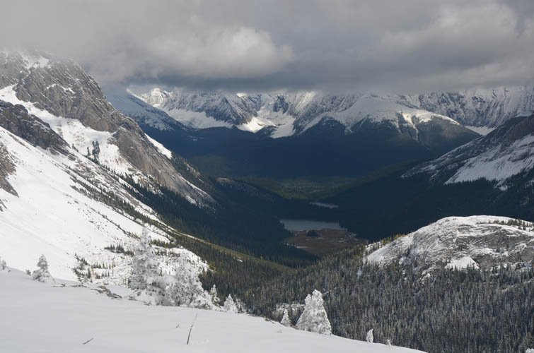
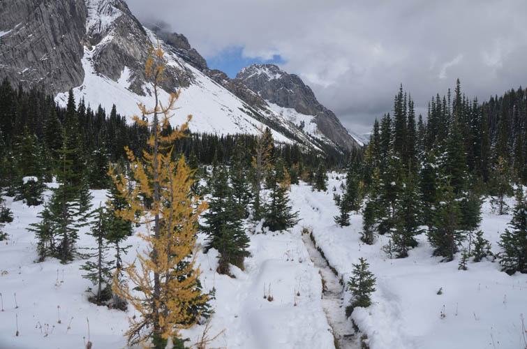
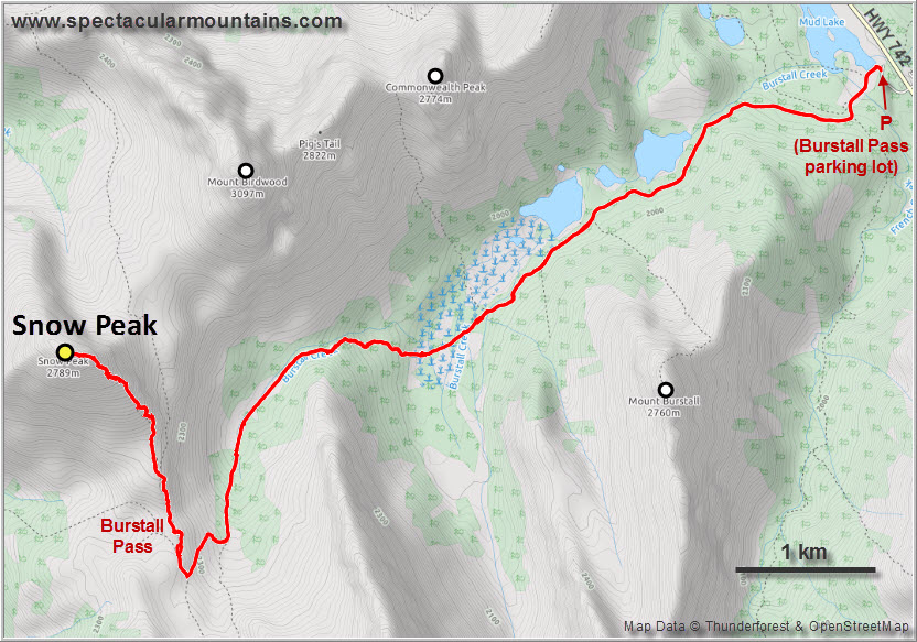
Snow Peak is a great objective for the shoulder season when there’s snow at higher elevations but avalanche risk is still low. Richard and I had both hiked the popular Burstall pass trail several times before so we knew the approach was fun and scenic. Although it was a Saturday and we only started our trip at 8 AM, there were hardly any other hikers around on the excellent trail that goes up to the pass.
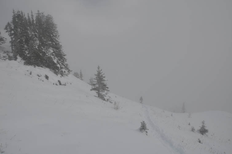
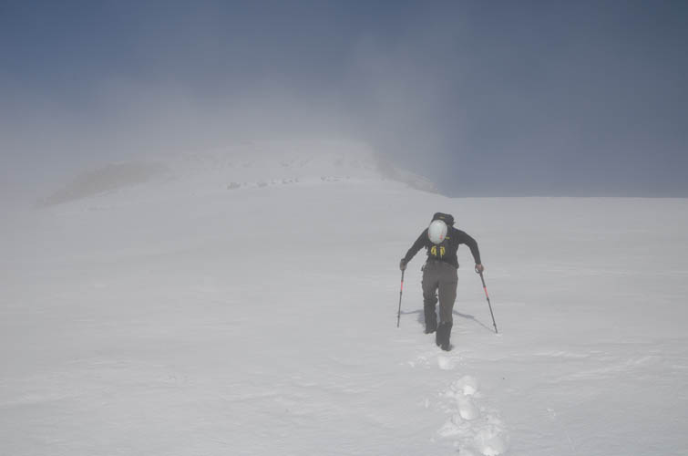
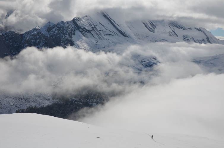
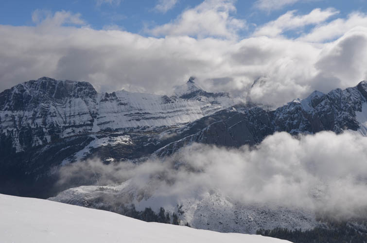
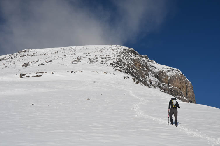
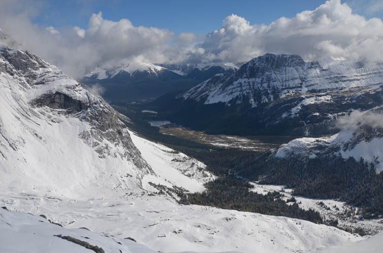
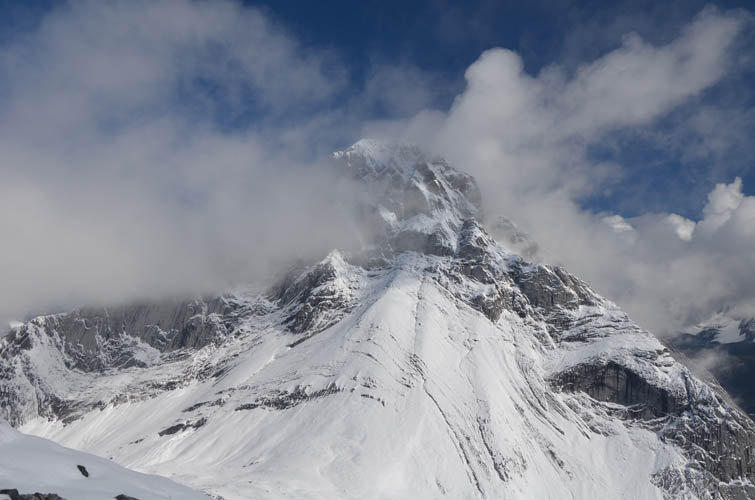
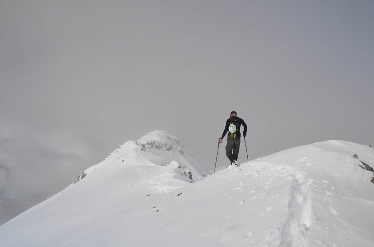
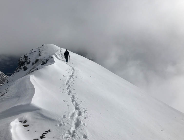
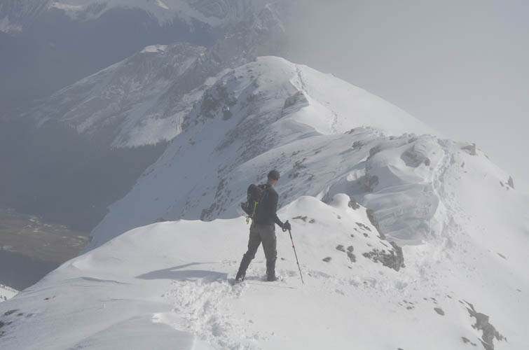
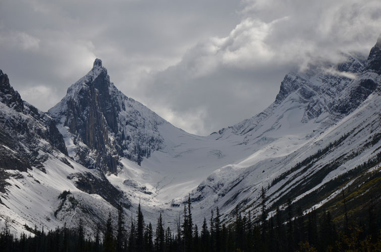
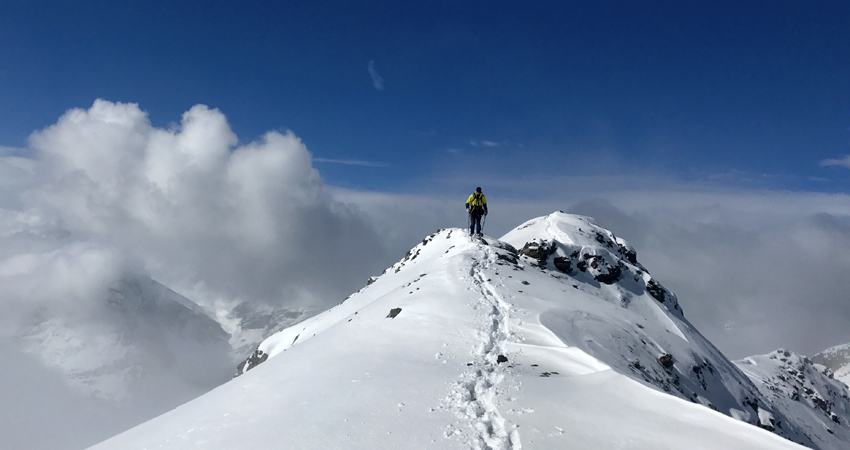
What started as a pretty grey morning without any sunshine turned into a fantastic day with blue skies and lots of sunshine once we climbed high enough to leave the clouds behind us. At the pass we turned right and steadily gained elevation on the snow-covered south slopes of the peak. Breathtaking views opened up with wafts of fast-moving clouds forming a neat inversion phenomenon below us.
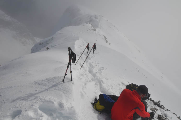
After a nice break at the top the clouds starting to move in again – time to head back down. When we got back to Burstall Pass we were really surprised by the number of people that had shown up all of a sudden. It was really busy with dozens of hiking groups making their way up the trail to the pass! I’m not sure how many went on to climb Snow Peak, but the rest of the trail on our way back was just full of people. Good thing we started relatively early today!
Both Richard and I really enjoyed this outing. When avalanche hazard is low, Snow Peak makes for a relatively short and straightforward trip with easy approach and great views. Perfect!
|
Elevation: |
2787 m (my GPS) |
|
Elevation gain: |
1050 m |
|
Time: |
6.0 h |
|
Distance: |
19.2 km |
|
Difficulty level: |
Easy (Kane), T3 (SAC) |
|
Reference: |
Nugara |
|
Personal rating: |
4 (out of 5) |
NOTE: This GPX track is for personal use only. Commercial use/re-use or publication of this track on printed or digital media including but not limited to platforms, apps and websites such as AllTrails, Gaia, and OSM, requires written permission.
DISCLAIMER: Use at your own risk for general guidance only! Do not follow this GPX track blindly but use your own judgement in assessing terrain and choosing the safest route. Please read the full disclaimer here.