Kananaskis, Canada
31 March 2017
With Wen
Nice hiking & snowshoeing loop
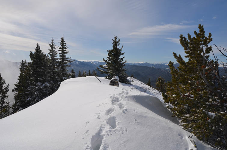
I’m not sure why this little peak is called a “mountain”, but apparently “Gunnery Mountain” is the unofficial name that locals use for this small southern outlier of Holy Cross Mountain in the Highwood Junction area. Regardless, Wen and I were looking for something short in the shoulder season, and Gunnery fit the bill quite well.
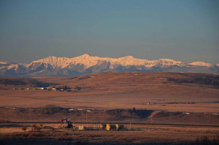
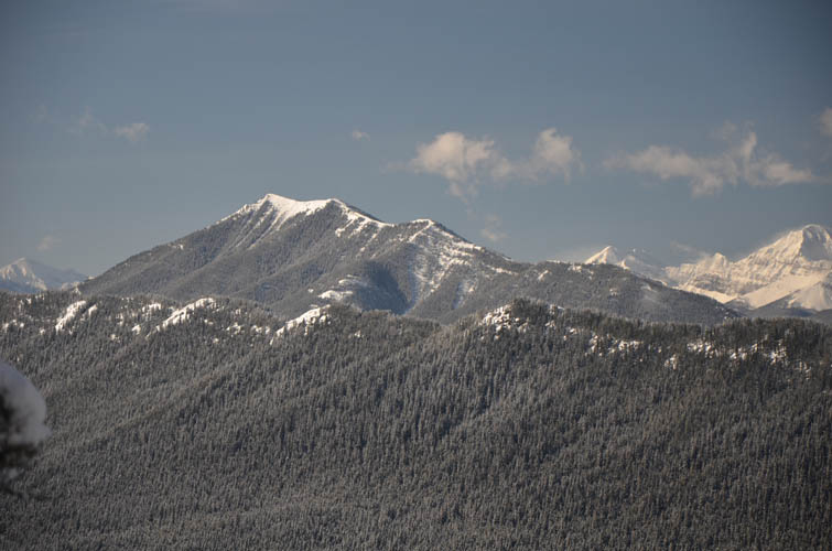
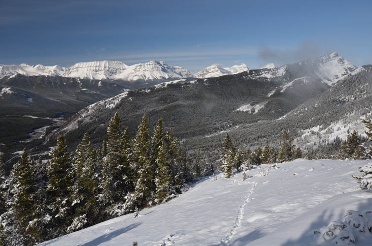
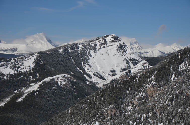
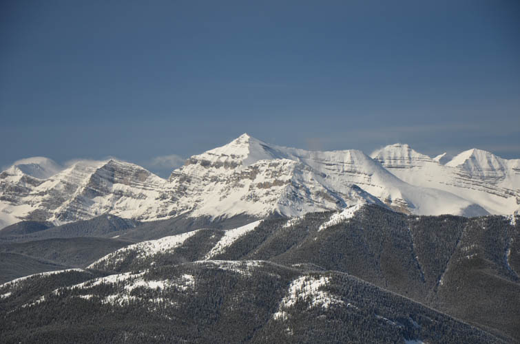
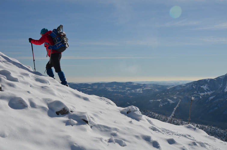
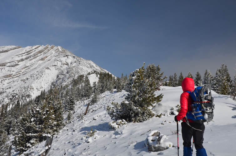
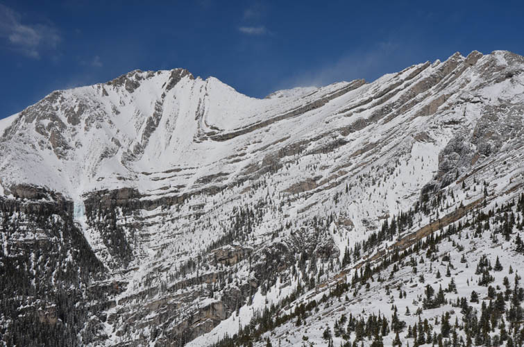
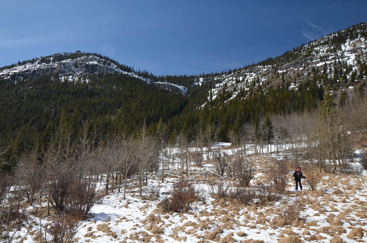
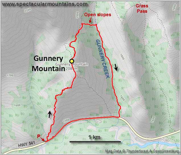
I don’t think I’ve ever seen a mountain that’s easier to access. We parked on the side of the road (highway 541 from Longview) and right at the start of the small SW ridge. A faint trail goes straight up this ridge, starting literally a few metres from where you park your car. Views are pretty decent throughout, especially of the dramatic folds and cliffs of nearby Holy Cross Mountain that are accentuated by layers of snow clinging on to the steep west face.
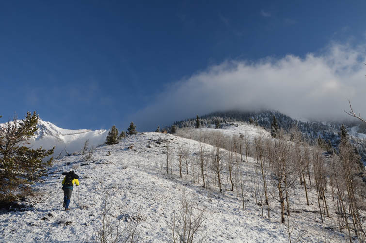
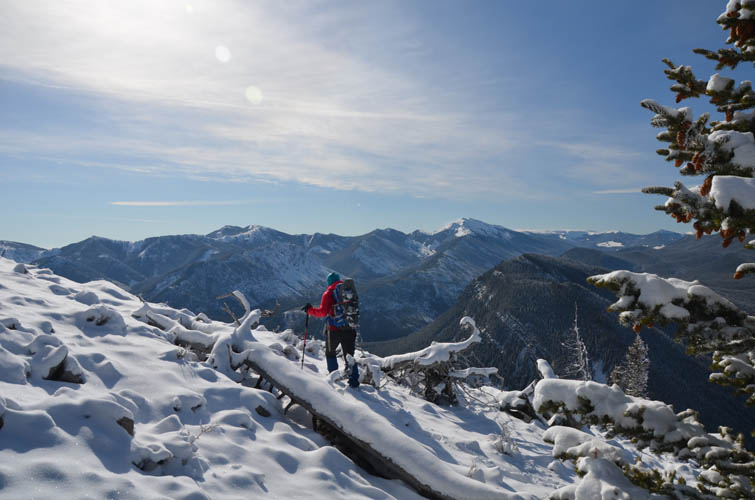
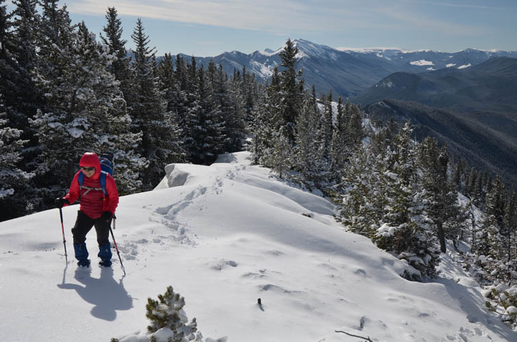
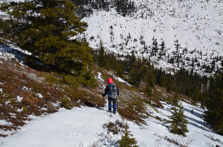
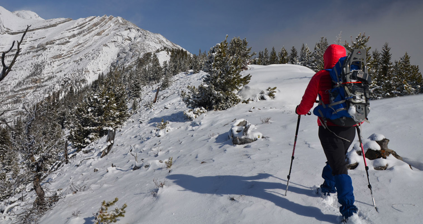
After taking a break on the broad summit we headed north towards the small saddle between Gunnery and the SE ridge of Holy Cross. The snow got quite deep in this section and we were glad we had our snowshoes with us. A short stretch of bushwhacking through dense forest to get to the bottom of the saddle was probably the most unpleasant part of the day, but I’m not sure if we were a bit off track here – there might be a better route somewhere nearby.
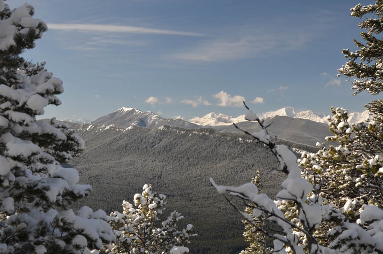
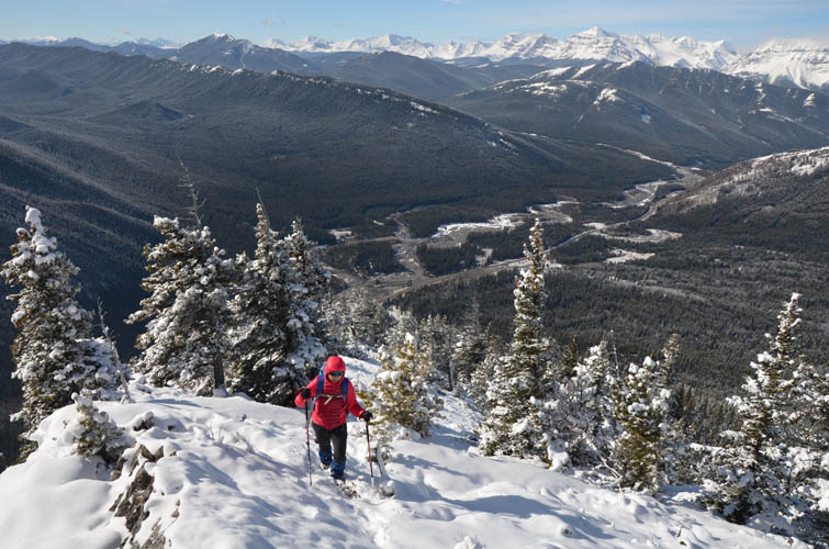
From the saddle we followed a faint trail along a drainage down the east side (we took off our snowshoes about half-way down), then veered northeast to reach semi-open slopes to link up with the Gunnery Creek trail, the access route to Holy Cross Mountain. A pleasant walk down the trail back to the highway concluded a sunny day of hiking in the beautiful Rocky Mountains.
|
Elevation: |
2083 m (my GPS) |
|
Elevation gain: |
750 m |
|
Time: |
6.5 h |
|
Distance: |
7.6 km |
|
Difficulty level: |
Easy (Kane), T3 (SAC) |
|
Reference: |
Daffern |
|
Personal rating: |
3 (out of 5) |
NOTE: This GPX track is for personal use only. Commercial use/re-use or publication of this track on printed or digital media including but not limited to platforms, apps and websites such as AllTrails, Gaia, and OSM, requires written permission.
DISCLAIMER: Use at your own risk for general guidance only! Do not follow this GPX track blindly but use your own judgement in assessing terrain and choosing the safest route. Please read the full disclaimer here.