Kananaskis, AB, Canada
27 November 2020
Solo
A windy winter ridge walk
Mount Howard definitely deserves more attention. It may be tucked away deep inside the eastern Front Ranges of Kananaskis, not easily accessible from any of the main highways, but it’s not as difficult to get to as I initially thought.
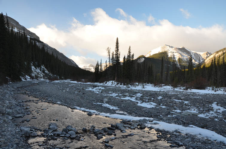
The only drawback is probably the long tramp up Canyon Creek from Powderface Trail. However, having seen way worse many times before, I actually didn’t mind this part. The pebbles in the creek bed are generally small enough to comfortably walk across, plus there are sections of grass and soil on flood banks that offer comfortable hiking.
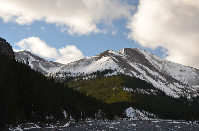
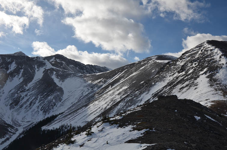
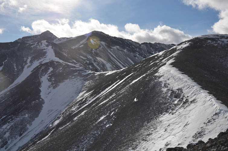
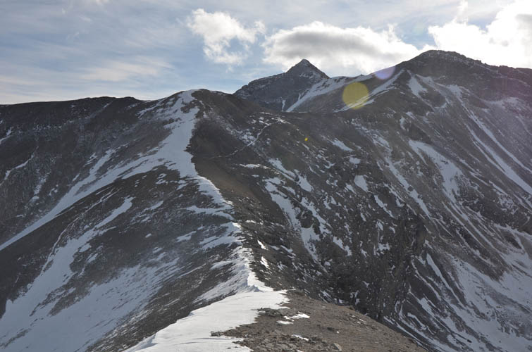
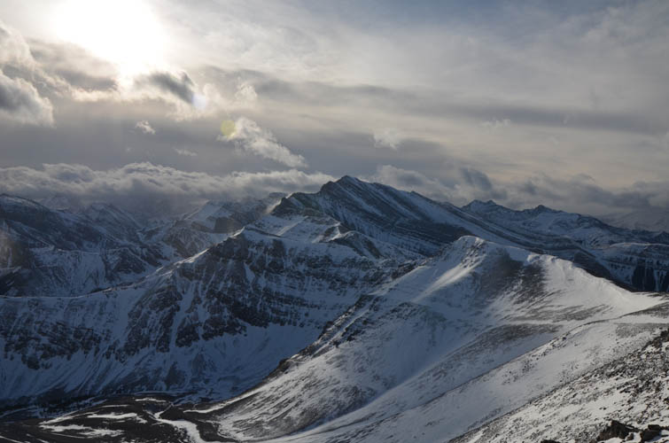
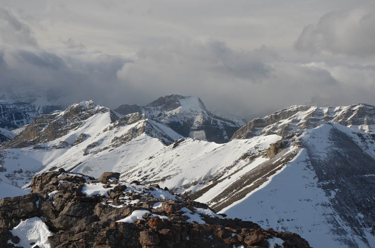
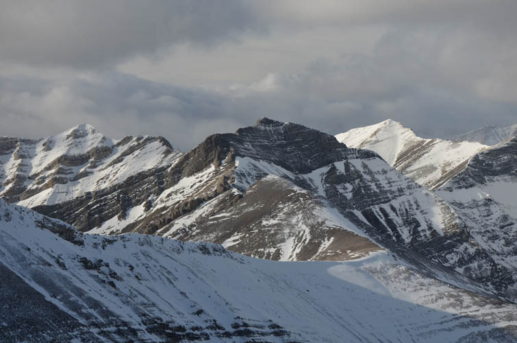
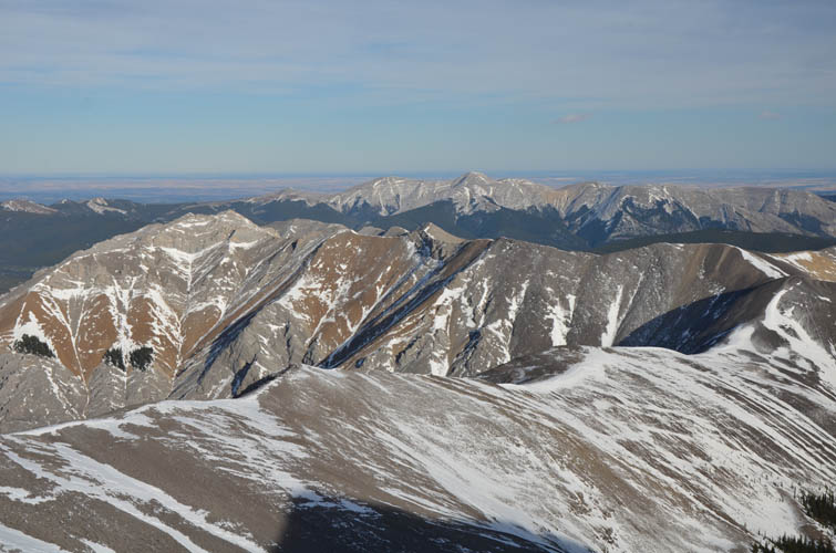
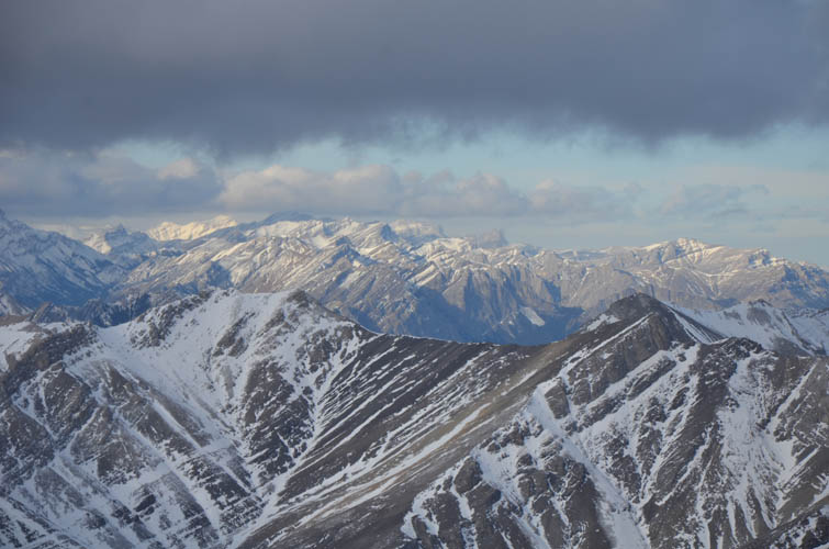
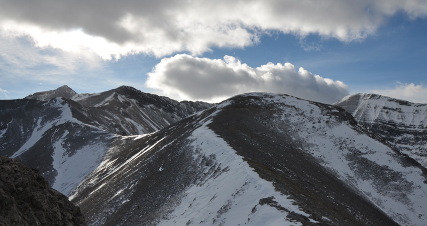
After about an hour I reached the treed ascent ridge as described in Nugara’s book. A cairn marks the start of a faint trail. Now it’s simple – just follow the ridge crest up. One patch of snow required some postholing, but the rest of the ridge was pretty bare. I really enjoyed this ridge walk, minus the gusty wind! There are several ups and downs and in one section there is a long snowbank that was firm enough to walk across as if it was paved. Grand alpine scenery all around with craggy, snow-clad peaks made this a very memorable experience, especially when it feels like mountaineering terrain but you know all you have to do is hiking with perhaps some easy scrambling here and there.
Since the wind was so strong today and the entire hike on the mountain is on or near the crest of the ridge, I had trouble finding a sheltered spot to have my lunch. Eventually I found a small dip to huddle down and wolfed down my sandwich. Strangely, the wind chill was still so strong that my hands started to get painfully cold within minutes. I had to use my big mittens and hand warmers to warm them up again; more importantly I had to get going again to generate heat from within my body to raise my core temperature. A chilly reminder of what could happen if you had an accident up here…
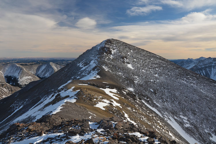
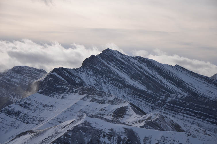
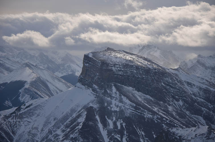
Just before the main summit block there is a false summit that can be bypassed on a game trail that crosses a wide slope on climber’s left (east side). I climbed it on my way up, then built a small cairn here to mark the spot on the descent. Owing to a surprising lack of snow for this time of the year, the summit block didn’t pose any challenges and was just a hike up. It did indeed feel like a remote spot up here, especially with gale-force winds trying to blow me away!
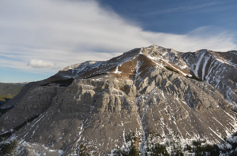
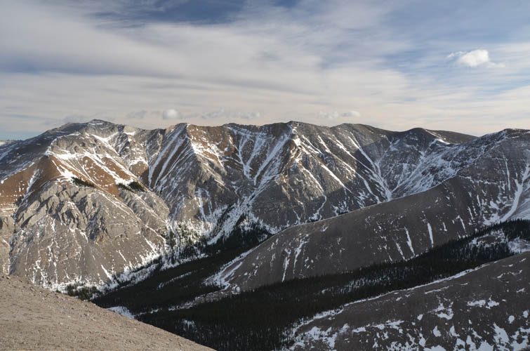
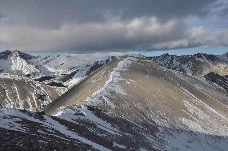
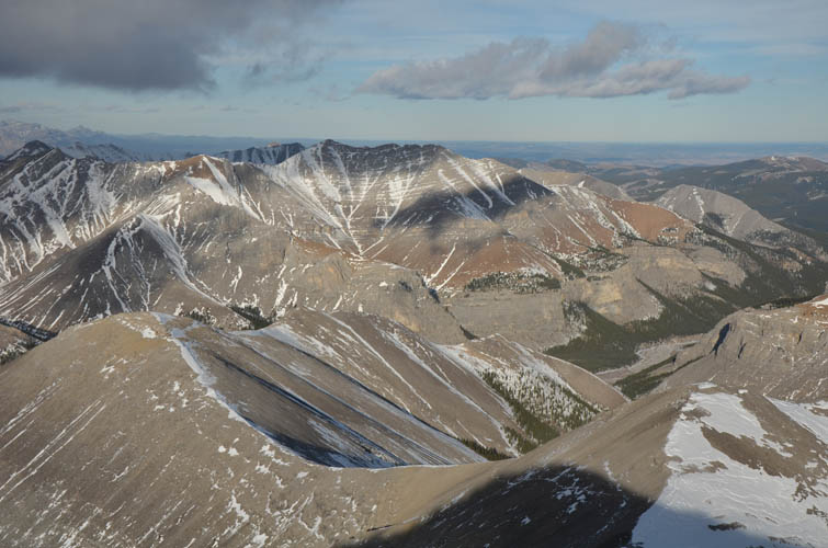
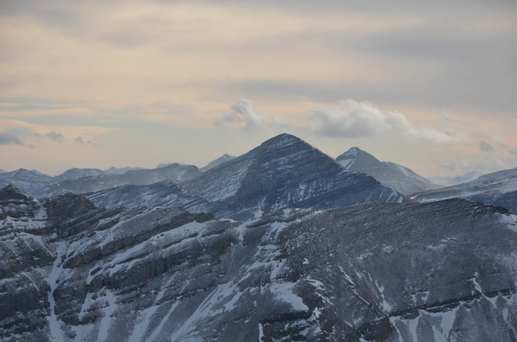
I spent some time contemplating an extension of my trip to neighboring Compression Ridge, which can easily be reached by way of a gentle ridge. The winds were so strong though, and I also didn’t have a helmet with me, that I decided against it. It’s good to keep some trips separate instead of combining too many peaks; it will be another fine outing to look forward to in K-country!
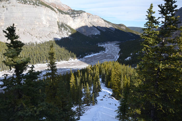
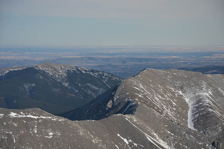
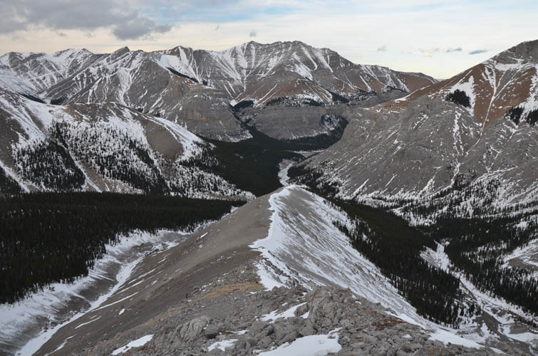
The gentle ridge running east towards Compression Ridge can be followed part way to another smaller ridge that then veers north and ends close to the point where I left the creek in the morning. This is the route that Vern and his group followed and I thought it would make for a nice loop to add some variety. It worked out great and even offered a few short sections of easy hands-on scrambling, although 95% of it is just a hike. Being in the lee of bigger ridges to the west, this stretch is also a lot less windy than the rest of the route.
The strong winds today must’ve been the reason why I had picked up my pace on this trip and was back at the car in less than 7 hours. One of my most “efficient” trips this year with great reward-to-effort ratio.

|
Elevation: |
2776 m (my GPS) |
|
Elevation gain: |
1220 m |
|
Time: |
7.0 h |
|
Distance: |
20.5 km |
|
Difficulty level: |
Easy (Kane), T3 (SAC) |
|
Comments: |
Potentially be avalanche prone in winter! |
|
Reference: |
Nugara |
|
Personal rating: |
4 (out of 5) |
NOTE: This GPX track is for personal use only. Commercial use/re-use or publication of this track on printed or digital media including but not limited to platforms, apps and websites such as AllTrails, Gaia, and OSM, requires written permission.
DISCLAIMER: Use at your own risk for general guidance only! Do not follow this GPX track blindly but use your own judgement in assessing terrain and choosing the safest route. Please read the full disclaimer here.