Sulaymaniyah, Iraq
8 November 2018
Solo
Charming valleys and unknown peaks
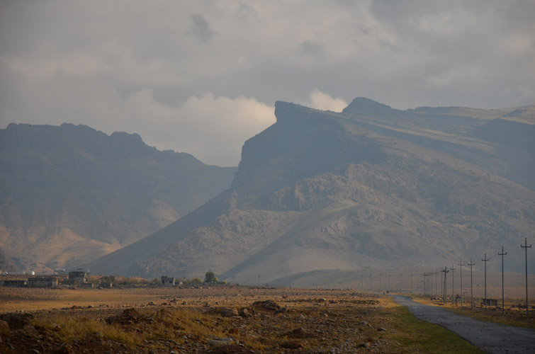
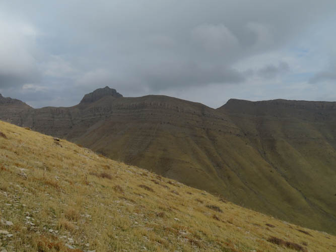
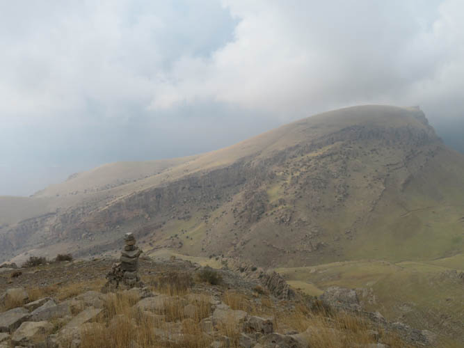
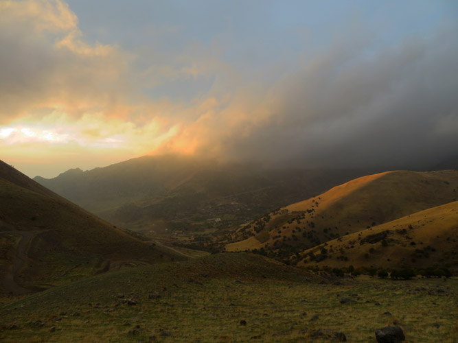
Another beautiful day in the Piramagrun massif near the village of Zewe. Just like the day before when I climbed Piramagrun, I was again denied any views from the main summit as the latter half of the day turned out to be cloudy and rainy. Regardless, it was a great day out. I really like this area for hiking and exploring the mountains, it’s very picturesque, quiet and safe. Several locals independently assured me that there are no landmines or other UXO’s in the area. And on top of that, there is also a great camp spot at the rest area above Zewe featuring picnic huts, toilets and running water.
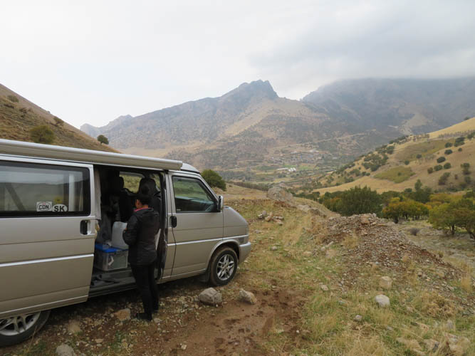
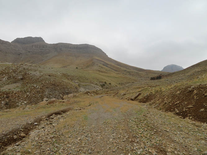
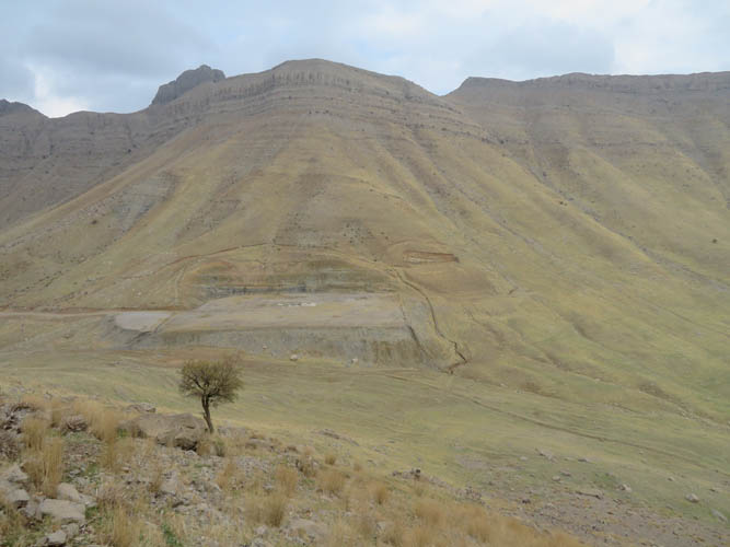
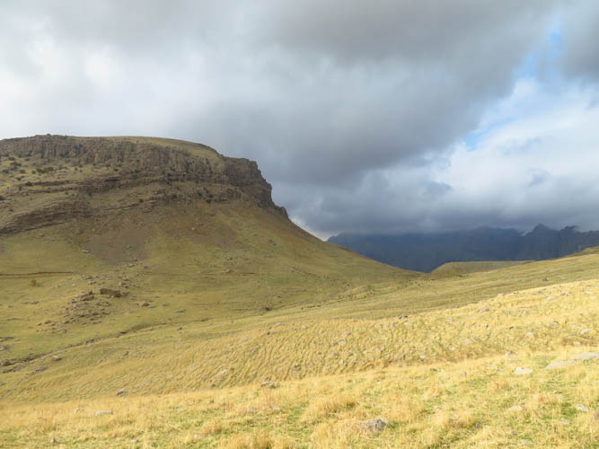
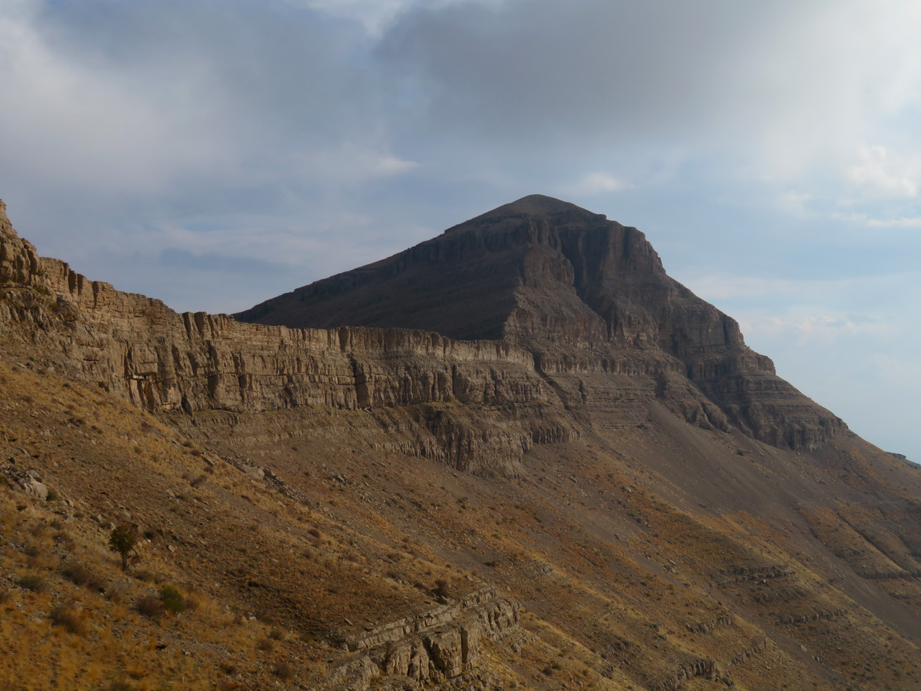
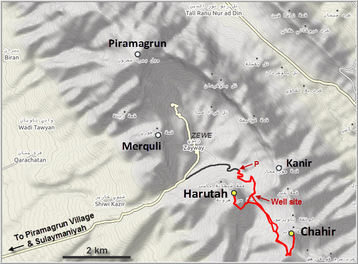
Very little information is available on the other, lower peaks in the Piramagrun massif. I barely knew the names of the two peaks I wanted to ascend today. Chahir, also called Jabir on some maps, is connected to Piramagrun by a long cliff-flanked ridge and forms the highest point along the southern part of the massif, while Harutah is a small stand-alone peak just south of Zewe. Both are easily accessed from an old well site road southeast of the village. This dirt road can be driven up with a regular car half way up to a barrier; beyond this point you’ll have to walk.
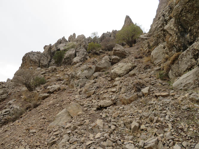
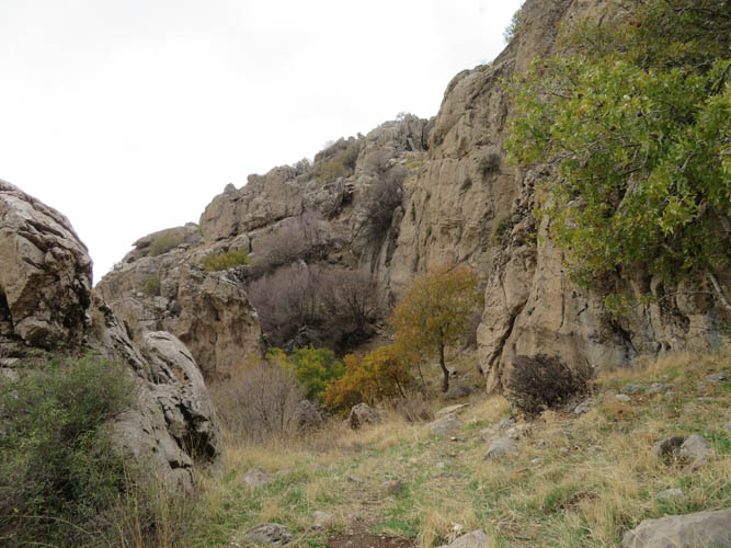
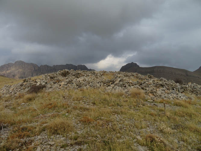
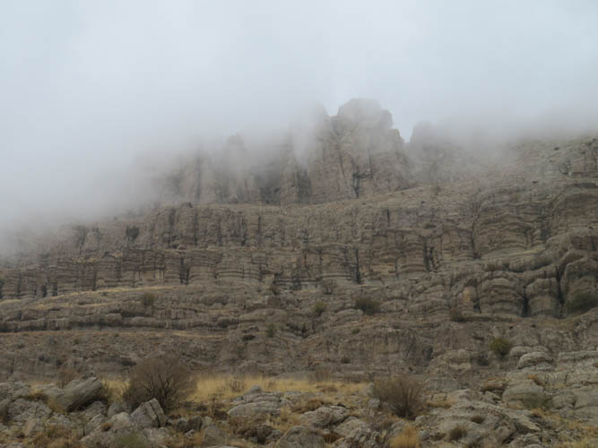
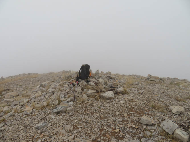
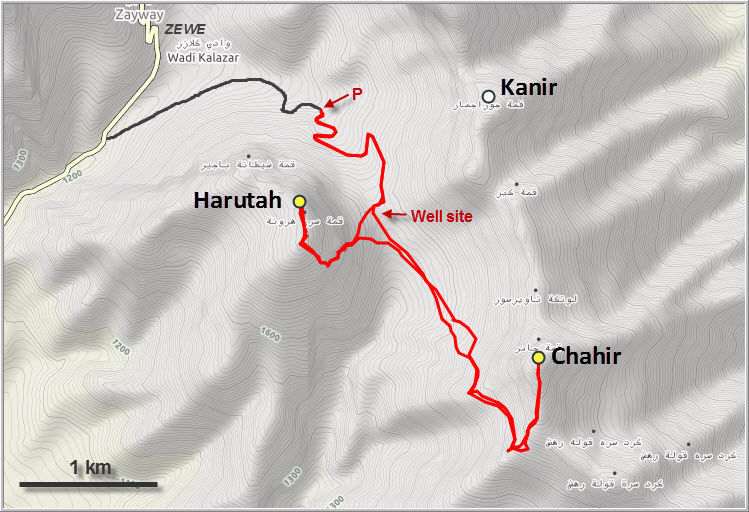
Harutah turned out to be a pleasant surprise. Even though the craggy cliffs on its northern and eastern side look pretty nasty from below, there is a way through. I walked up the abandoned part of the well site road to a broad saddle (where a suspended Repsol oil well is located) and then continued west up the grassy slope to the base of the cliffs, veering slightly left. There is a narrow break in the cliffs and a shepherd’s trail conveniently snakes its way through the rocks and up to the flat, grassy south slopes of the mountain. It’s an easy hike to the top from here. I wasn’t entirely sure at first where the actual summit is as there are three high points, the first occupied by rock shelters used by the military a long time ago, and the other two being two craggy rock nubs. After passing the rock shelters, I walked over to the nub in the middle (an easy scramble for the last few metres), which appears to be the highest point as far as I can tell.
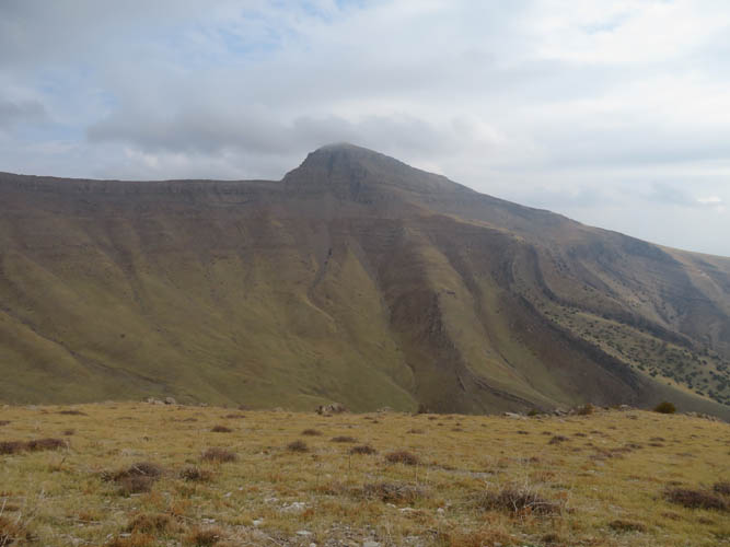
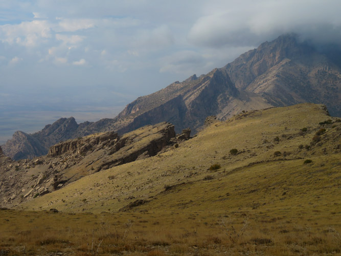
After descending back to the saddle at the well site the same way I came up, I set my eyes on the bigger mountain to the south: Chahir. The cliffs surrounding the mountain looked rather intimidating, with no clear route up. In fact, I had no idea how to climb this thing! There were a couple of shepherds looking after their sheep nearby so I walked over and chatted with them. The younger one of them had lived in London before and spoke reasonable English – I couldn’t believe it! Also, he had climbed every one of the peaks here and knew the area like the back of his hand. With a rough explanation of the route in hand, I said good-bye and went on my way, heading towards the west ridge of Chahir.
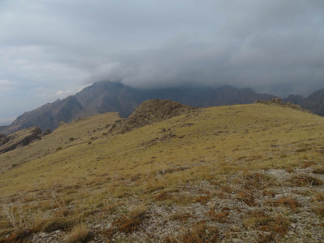
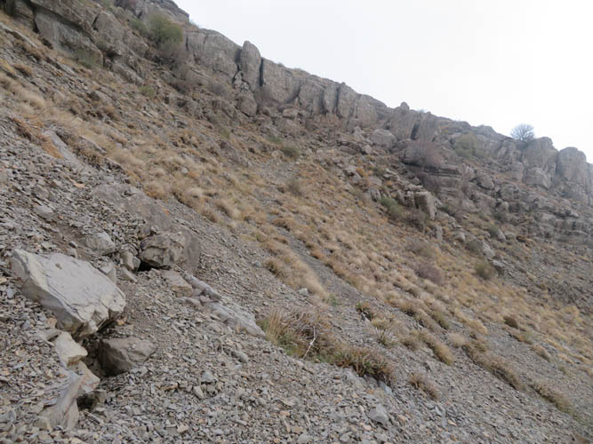
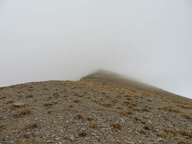
A wide valley covered in grass and pebbles needs to be crossed first. It’s a lovely area, very peaceful and quite. Other than the shepherds and their stock, I was all by myself. The many sheep trails make the hiking easy here, and there are even a few cairns to guide hikers over a small ridge, across a grassy slope, and then along a proper trail through the cliff that borders the west ridge of Chahir. Once on this ridge I turned left and the rest was easy: a simple hike straight up to the summit ridge and on to the top. Annoyingly, just as I left the valley below me the clouds started to fog everything up again and I had no views to speak of as I arrived at the summit.
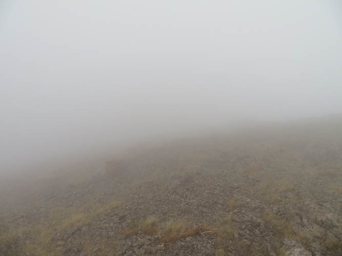
I had thought about continuing along the ridge towards the north and finding another way down into Zewe and back to the car, but in these poor conditions there was no way I wanted to experiment with an unknown route (and possibly having to backtrack it all in case it didn’t work out). As I turned around from the summit it started to rain and the temperature dropped significantly, making me put on my puffy, rain jacket, winter hat and even gloves. Once again I was really glad I had a GPS device with me because the clouds were now so dense, I couldn’t even see more than 10 m ahead. I almost missed the turn-off to get off the west ridge through the cliff. The rain eventually stopped when I got back down into the valley and out of the clouds.
Although I was soaking wet by now, I quite enjoyed the pleasant hike back to the car and even ran into my shepherd friends again. It really is a charming place here, with exceptionally friendly people and lots of excellent hiking opportunities.
| Elevation: | Harutah: 1670 m (my GPS) |
| Chahir : 2088 m (my GPS) | |
| Elevation gain: | 1120 m |
| Time: | 5 h |
| Distance: | 12.3 km |
| Difficulty level: | Easy (Kane), T3 (SAC) |
| Reference: | No route information was available to me prior to trip |
| Personal rating: | 3 (out of 5) |
DISCLAIMER: Use at your own risk for general guidance only! Do not follow this GPX track blindly but use your own judgement in assessing terrain and choosing the safest route.