Kananaskis, AB, Canada
2 November 2019
Solo
Hunters, off-roaders and a grand Front Range panorama
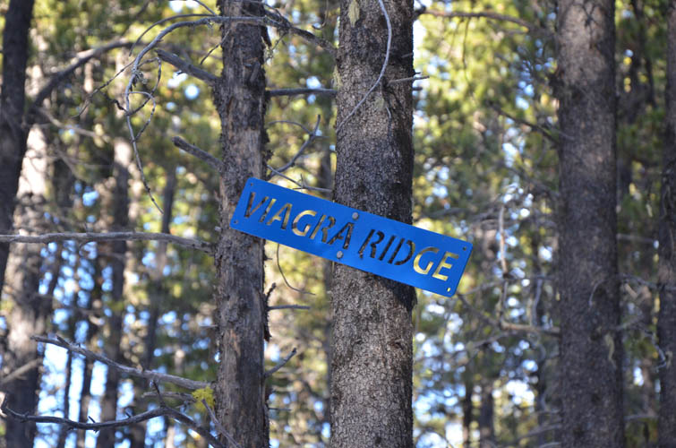
There is nothing really remarkable about Mount Quirk other than perhaps its quirky name. Still, I had my fair share of surprise and spectacle today on this otherwise unexciting forest walk.
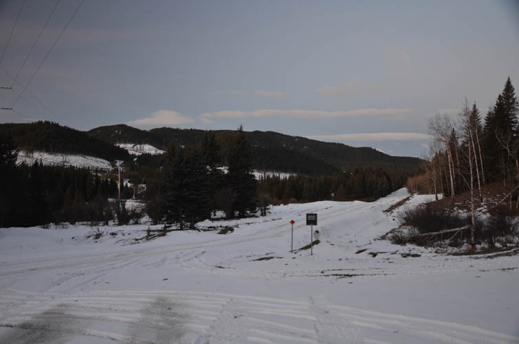
First, I ran into a couple of hunters in the early morning a few hundred metres past where I parked my car (information sign at the Fisher Creek West staging area). That in itself is of course nothing special given that it was in the middle of hunting season and many were out and about looking for moose, elk, deer, etc. The first hunter one acknowledged my muted “Good Morning” with a silent nod and stern glance – clearly he wasn’t too happy about the presence of a hiker in his range. His buddy was further down the Fisher Creek Road and didn’t notice me at first. He was holding his gun up in the direction of the valley ahead, but then suddenly turned it towards me… He must’ve mistaken me as an animal, pointing his gun at me from about 300 m away… “Are you serious?” I thought to myself while at the same yelling out “HIKER!!!” and waving my poles around frantically. It certainly didn’t help that I was wearing a black jacket – COLOURS is what you want in hunting areas! Thankfully, he saw me through his scope and put down his rifle. “Ah don’t worry bud”, he tried to assure me when I caught up with him. “I could see you through my scope and I’ve got my safety switch on anyway.” Well, that’s reassuring!
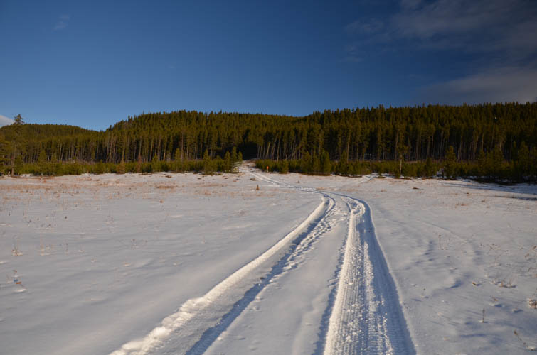
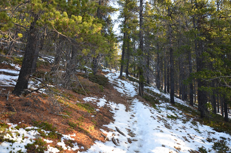
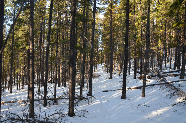
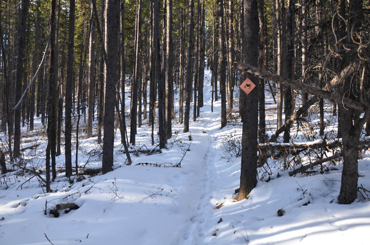
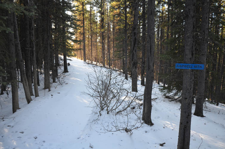
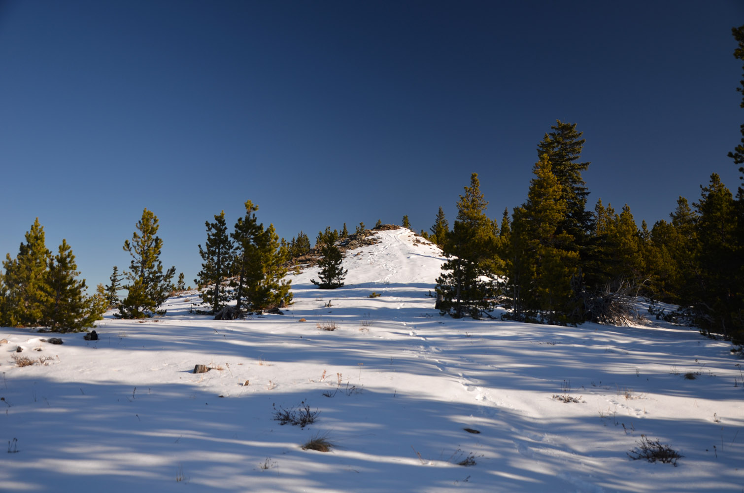
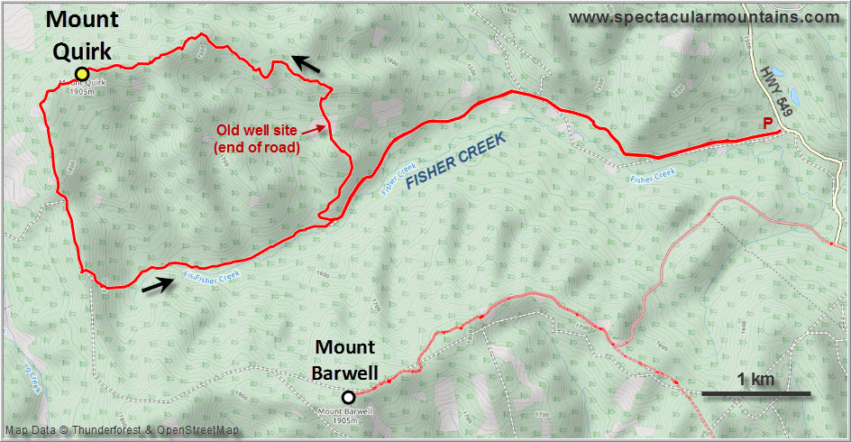
While you could drive the first few km along Fisher Creek Rd with a 4WD or bike it, I didn’t mind the walk to warm up and get some additional exercise on this rather lowly hill today. Where the road ends, just above an old well site, I continued on a narrow forest trail that hugs the edge of Mount Quirk’s east ridge (#73A in Daffern’s K-Country guidebook vol. 4). Pleasant enough, but almost no views and all in the trees. I’d even brought my snowshoes but didn’t need them today, the snow cover was just too thin even up on the “mountain”.
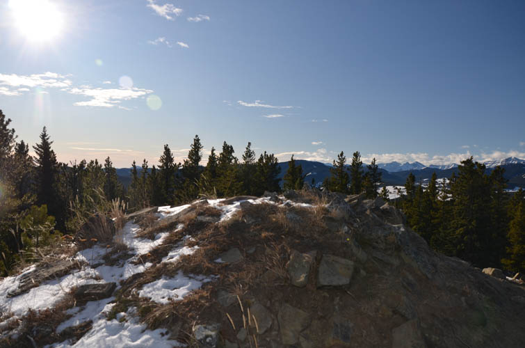
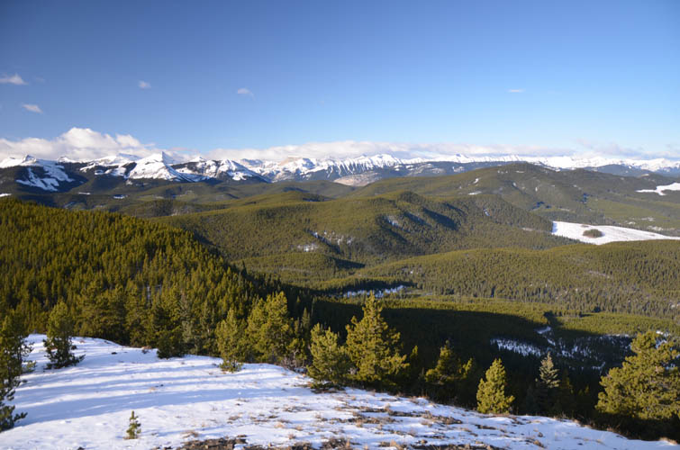
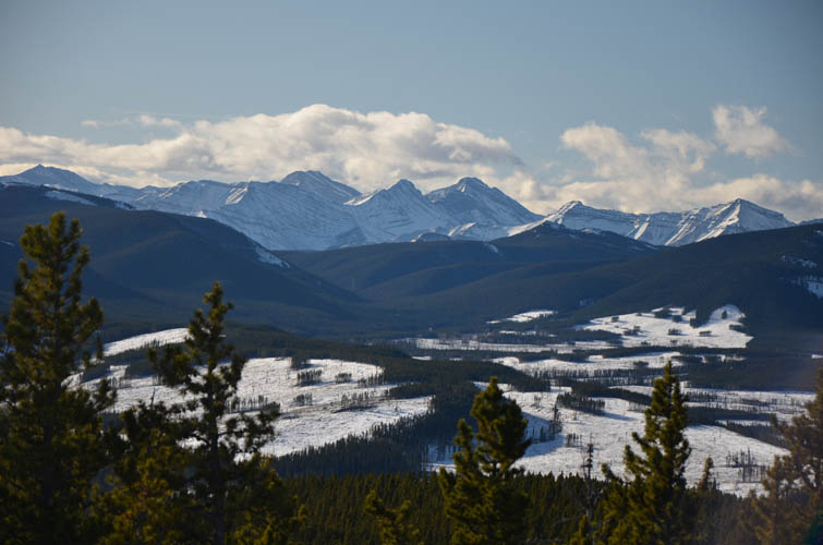
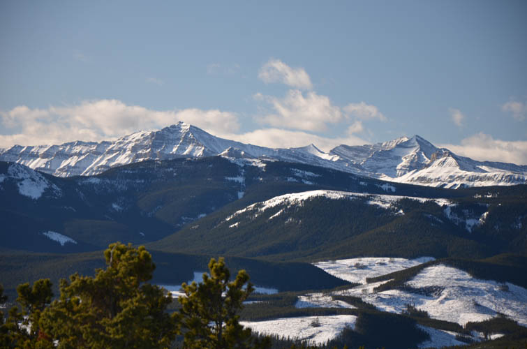
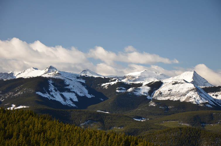
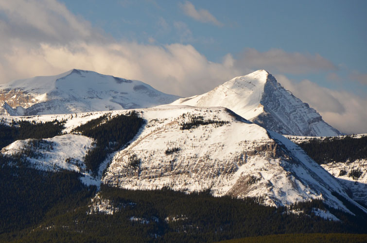
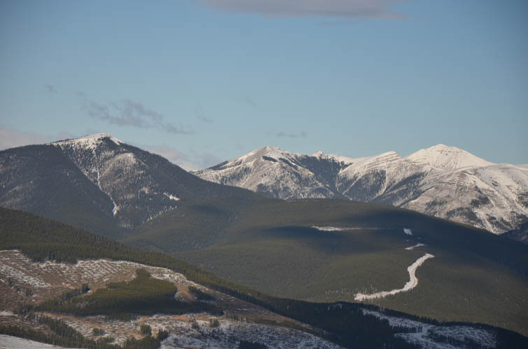
Similar to Missinglink Mountain, but better than neighboring Mount Barwell, the only real views you get are at the very top. I sat down on the small summit nub and soaked up the sun and clear blue skies while admiring a wonderful panorama of Front Range Peaks. The four actors of the Banded Peak Traverse take centre stage (along with Mount Glasgow, Mount Cornwall and Outlaw Peak), all covered in a thick blanket of snow. Moose Mountain and Prarie Mountain stick out of the hilly foothills to the north, while Highwood Peak and neighbors mark the edge of the rocky peaks to the south.
For added variety, I decided to make a loop and return via the trail on Mount Quirk’s western escarpment (#73B in Daffern’s book), then head back down the valley along Fisher Creek to the east. The initial trail up on the ridge had some nice views of the Front Ranges, but soon I was back in the forest again.
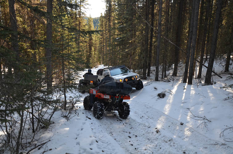
There were fresh OHV tracks everywhere, even up by the escarpment. About an hour after leaving the summit I started hearing the roaring noises of revving engines and soon understood what I had gotten myself into… This is a hugely popular off-roading area! While descending the track down east towards Fisher Creek I passed by dozens of trucks, jeeps, ATVs and all sorts of modified 4WDs… all slowly trying to make their way up the steep, partially washed out gravel road. Lots of noise, spinning wheels, radio chatter and of course exhaust fumes. Not my usual hiking environment but quite the spectacle to watch! As the only hiker around I definitely felt out of place here.
By the time I got back to my car I had counted over 40 vehicles and was quite glad to have put this trip behind me. If hiking here in the winter before the gate closes, it is perhaps better to return along the east ridge the same way I went up, unless of course you enjoy watching Land Rovers and Tacomas crawling up a hill.
Note: The winter gate at Fisher Creek PRA is closed Dec 1st to Apr 30th, while the gate just east of Mesa Butte PRA is closed Dec 1st to May 15th.
|
Elevation: |
1886 m (my GPS) |
|
Elevation gain: |
740 m |
|
Time: |
5.0 h |
|
Distance: |
19.0 km |
|
Difficulty level: |
Easy (Kane), T1 (SAC) |
|
Comments: |
Watch for hunters and off-road vehicles on Fisher Creek Trail! |
|
Reference: |
Daffern |
|
Personal rating: |
2 (out of 5) |
NOTE: This GPX track is for personal use only. Commercial use/re-use or publication of this track on printed or digital media including but not limited to platforms, apps and websites such as AllTrails, Gaia, and OSM, requires written permission.
DISCLAIMER: Use at your own risk for general guidance only! Do not follow this GPX track blindly but use your own judgement in assessing terrain and choosing the safest route. Please read the full disclaimer here.