Kananaskis, AB, Canada
9 June 2020
Solo
Short hike, small summit, no crowds
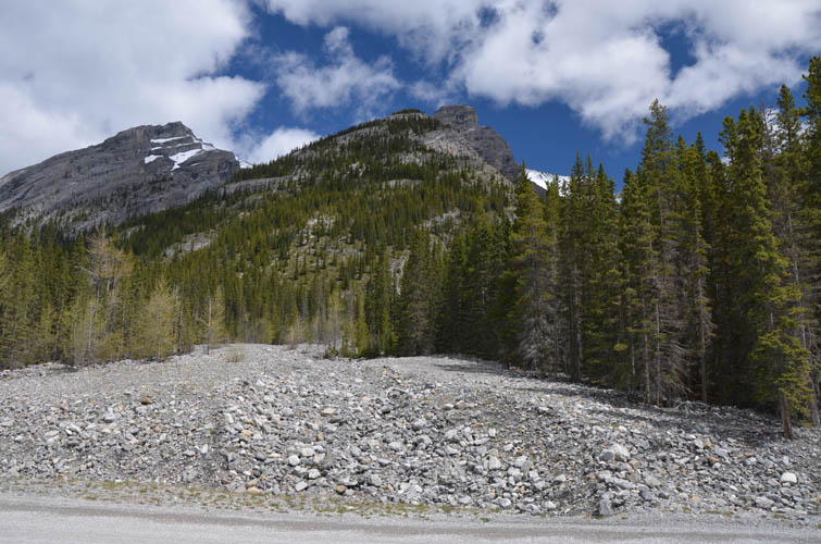
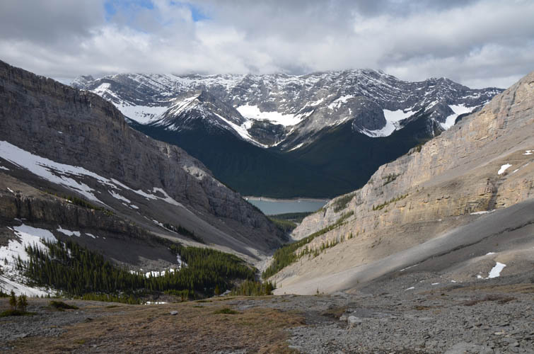
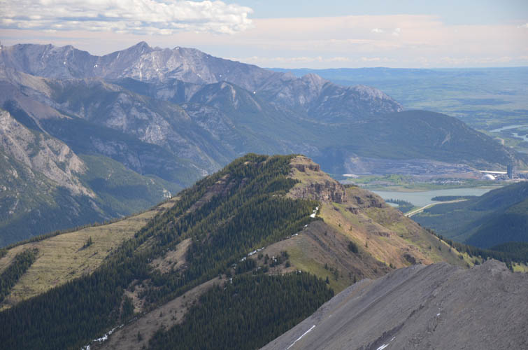
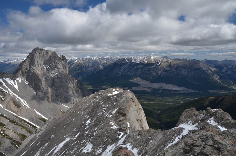
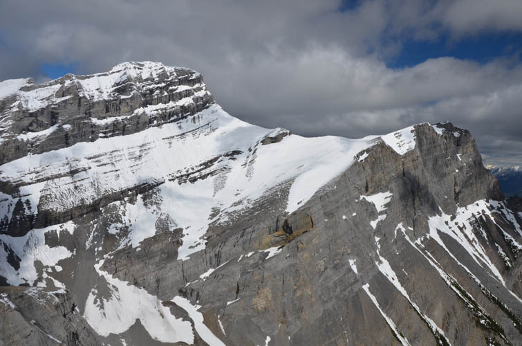
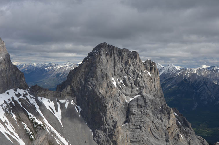
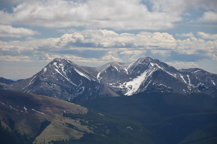
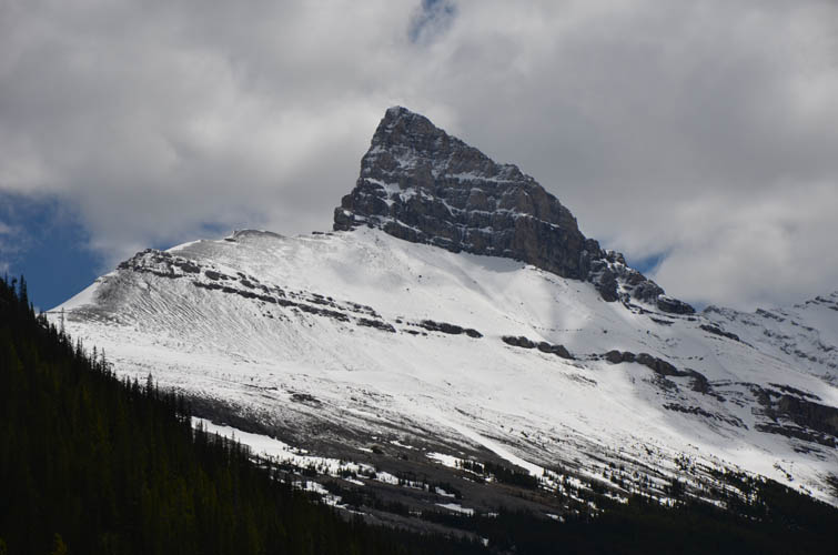
The Orphan is sort of the “neglected” sibling of adjacent Big Sister and Middle Sister to the west, and even the Rimwall to the east is much more popular. One reason certainly is that there is no established trail and it initially takes a bit of rubble bashing in the creek bed on the approach to The Orphan. Another perhaps is that this is a relatively minor summit – an outlier really – dwarfed by all other peaks surrounding it. Still, I think it makes for a great hike far off the crowds and offers fine views of the Three Sisters, the Bow Valley, and Wind Ridge below.
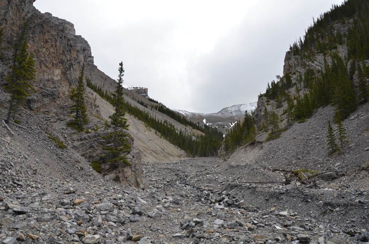
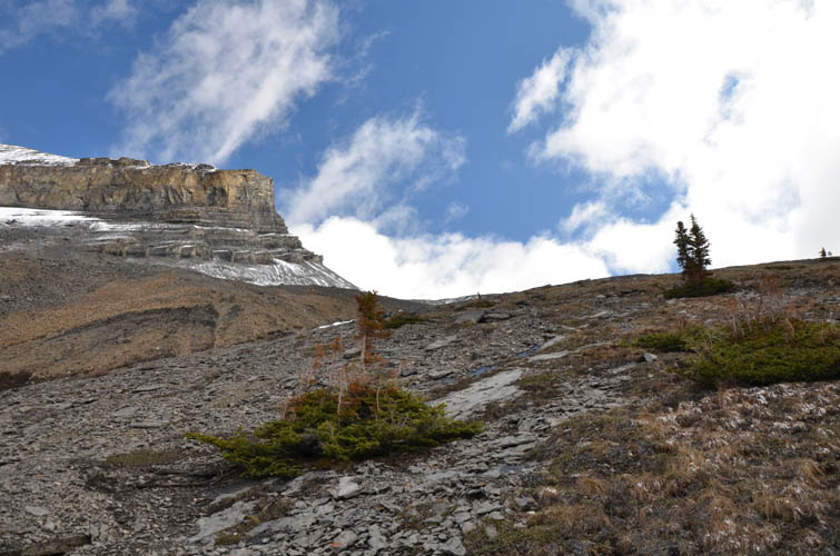
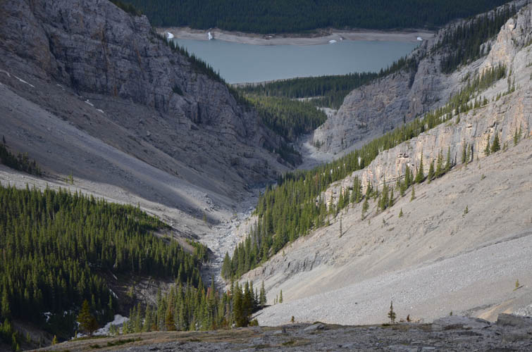
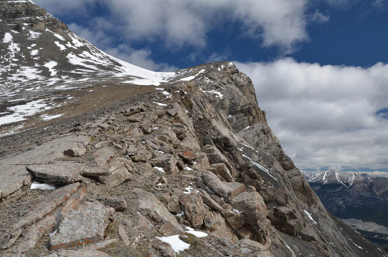
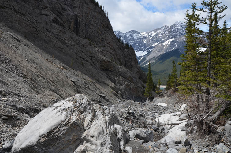
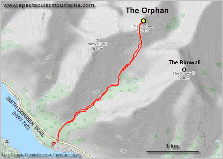
Finding the trailhead is probably the crux of this hike. There is no pull-out for parking on the road; in fact, there is no trail in the first few hundred metres where you just walk up a broad, rubble-strewn creek bed that has clearly been affected by previous flooding events. A faint smattering of a trail then forms as you enter a gap in the cliffs between outliers of the Rimwall to the right and an extension of Big Sister to the left.
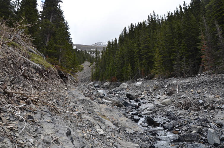
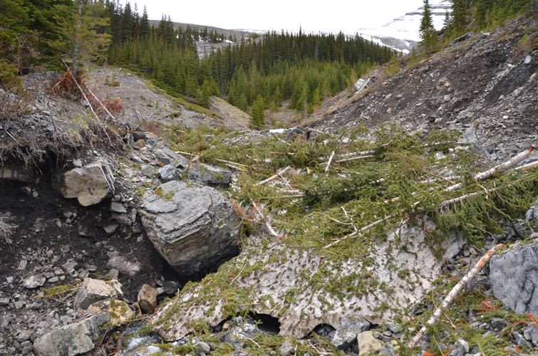
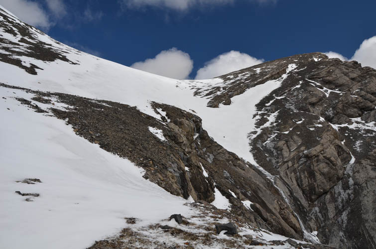
The faint trail comes and goes as pebbles and boulders fill much of the creek valley, but I didn’t find it too bad (Jura and Exshaw Creeks are worse in my opinion). Higher up there is an obvious “messy” spot where the creek is covered with tree trunks and avalanche debris – the creek splits here and the faint trail continues on a muddy rise to climber’s left (cairns).
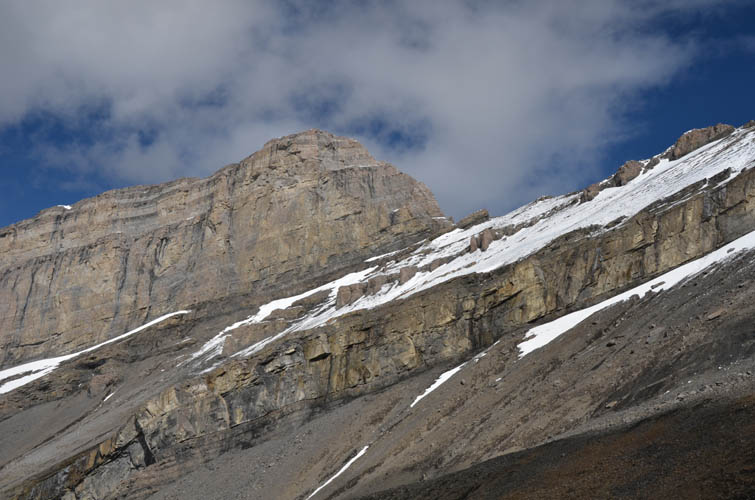
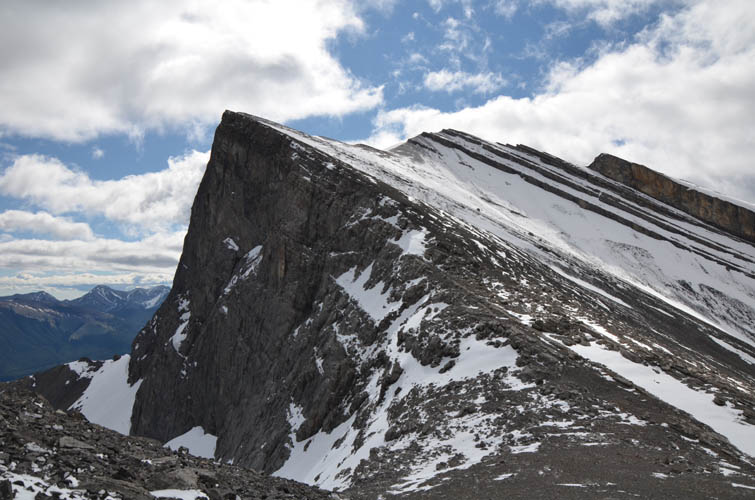
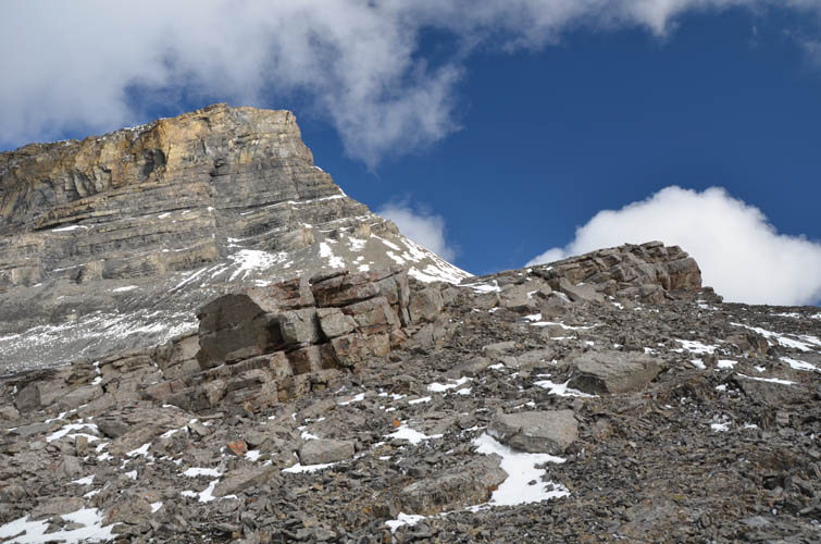
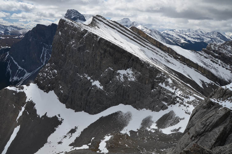
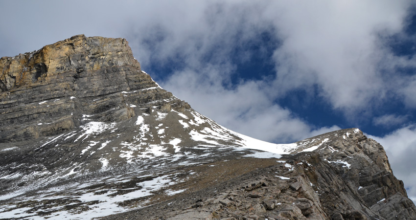
The trail soon loses itself on the wide grassy slope that leads up to the saddle between the Rimwall and The Orphan, from where it’s an easy plod to the summit. I really enjoyed the close-up views of the Three Sisters, which I think is pretty unique from this angle.
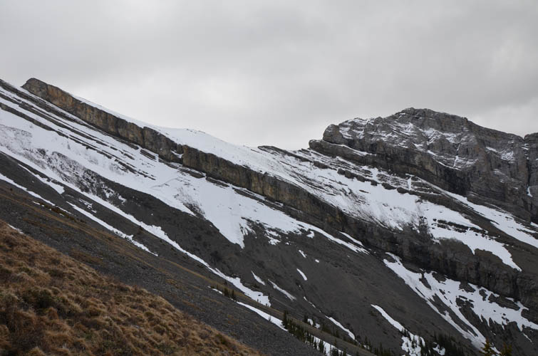
I thought about traversing to the Rimwall on my way down (which is entirely feasible if there isn’t a lot of snow along the ridge crest), but strong winds and a darkening sky had me hustle downhill instead. When I was back at the car the sun came out again and the beautiful blue skies persuaded me to add an afternoon hike up the Windtower nearby.
|
Elevation: |
2591 m |
|
Elevation gain: |
1010 m |
|
Time: |
3.5 h |
|
Distance: |
7.3 km |
|
Difficulty level: |
Easy (Kane), T2 (SAC) |
|
Reference: |
Spirko |
|
Personal rating: |
3 (out of 5) |
NOTE: This GPX track is for personal use only. Commercial use/re-use or publication of this track on printed or digital media including but not limited to platforms, apps and websites such as AllTrails, Gaia, and OSM, requires written permission.
DISCLAIMER: Use at your own risk for general guidance only! Do not follow this GPX track blindly but use your own judgement in assessing terrain and choosing the safest route. Please read the full disclaimer here.