Kananaskis, AB, Canada
12 October 2021
Solo
Nice off-season ridge walk
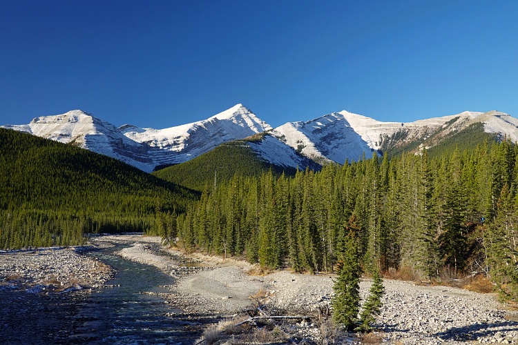
Forgetmenot is the memorable name of a significant foothills promontory in the Elbow Falls area of Kananaskis west of Bragg Creek. I’m not sure why there is a “Forgetmenot Ridge” and a “Forgetmenot Mountain” shown separately on maps – this is really just one big broad hill that offers some good opportunities for off-season hiking.
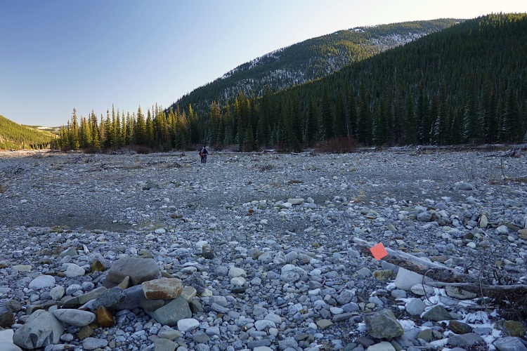
Late summer or fall is probably the best time to do this trip as the Little Elbow River can then be rock-hopped or will be bone-dry as was the case today. This is also a good one to do with some snow around since it’s pretty popular and there will most likely be other people packing the trail for you before you arrive.
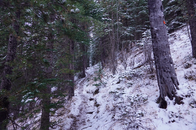
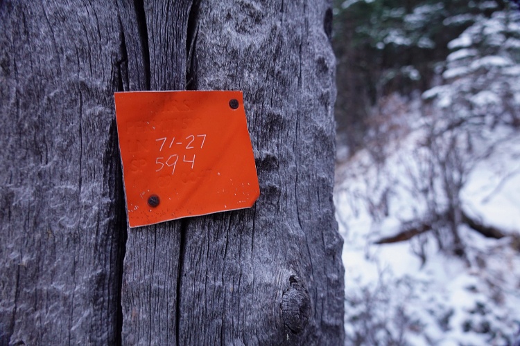
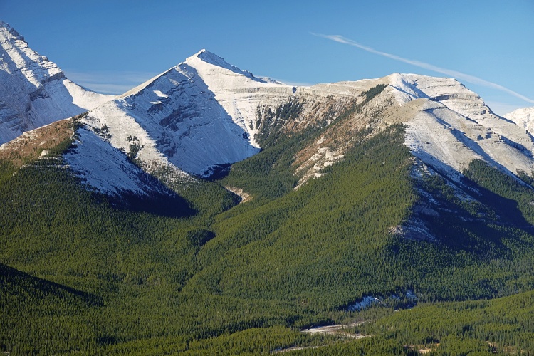
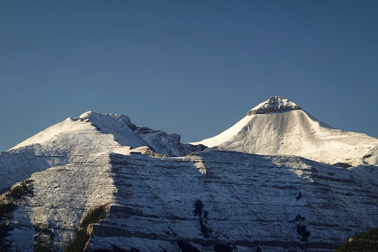
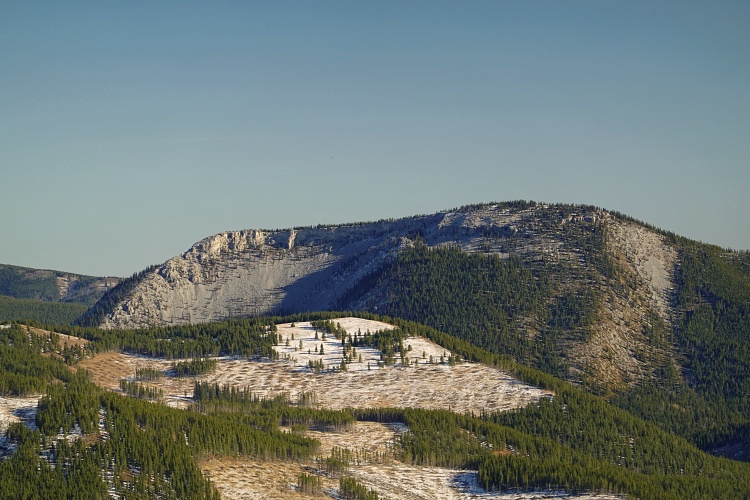
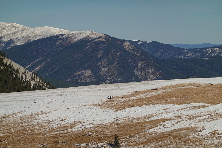
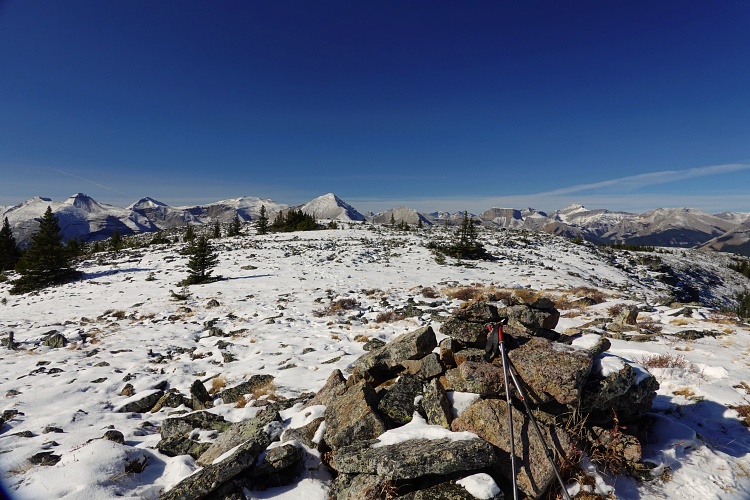
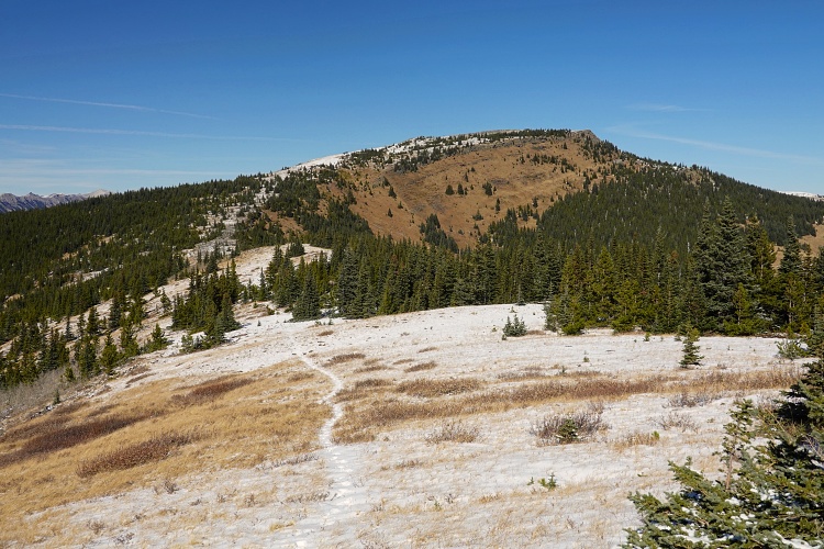
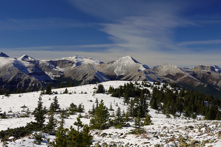
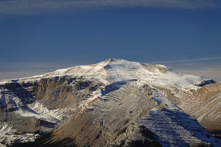
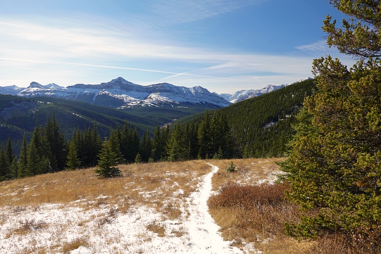
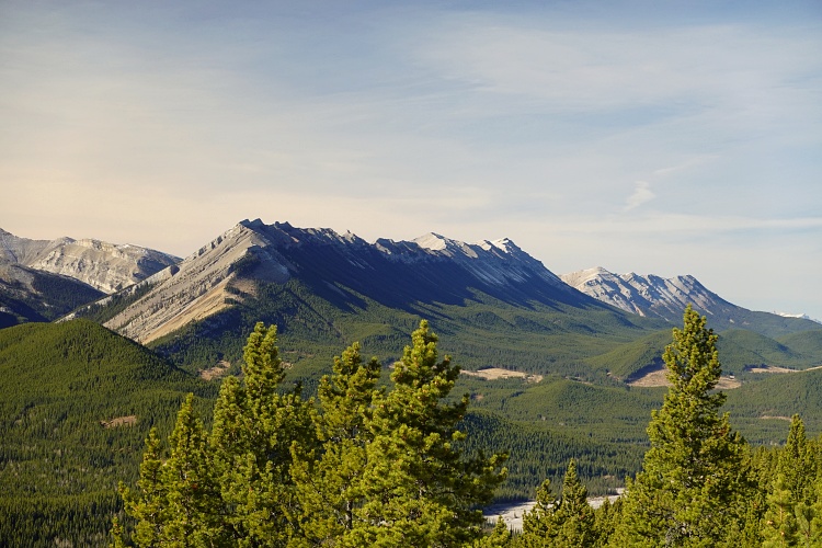
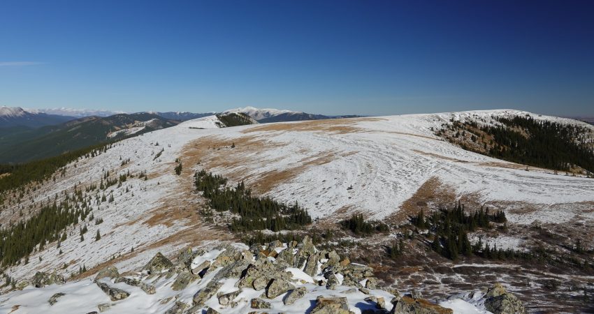
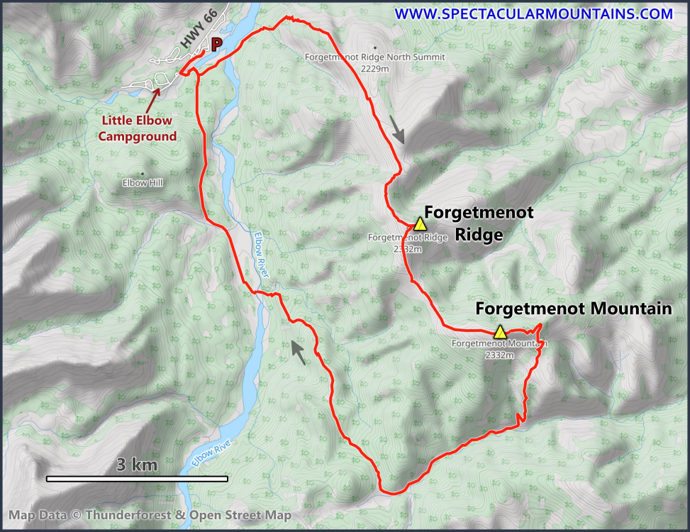
I followed my line on the map and quickly found the steep trail up the NW side of the mountain (route marked by cairns and initially also by orange metal tags). It’s steepish at the beginning but the trail is very good and eventually eases off to a gentler grade. I was surprised how quickly I reached the ridge top which offers beautiful views of Front Range classics such as Nihahi Ridge, Mount Remus and Mount Glasgow.
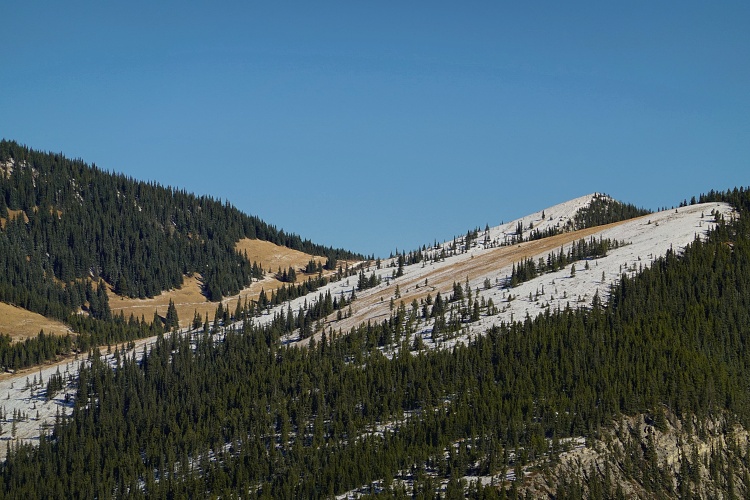
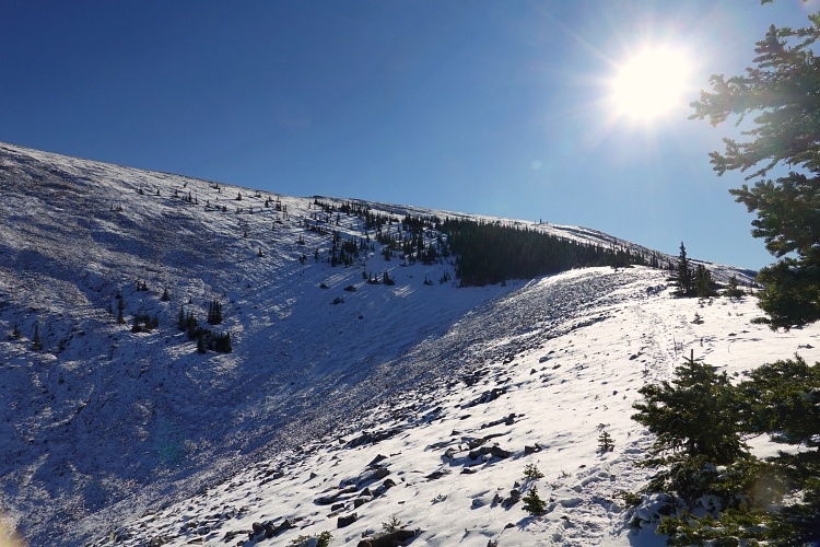
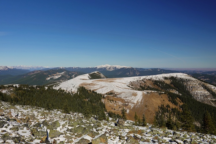
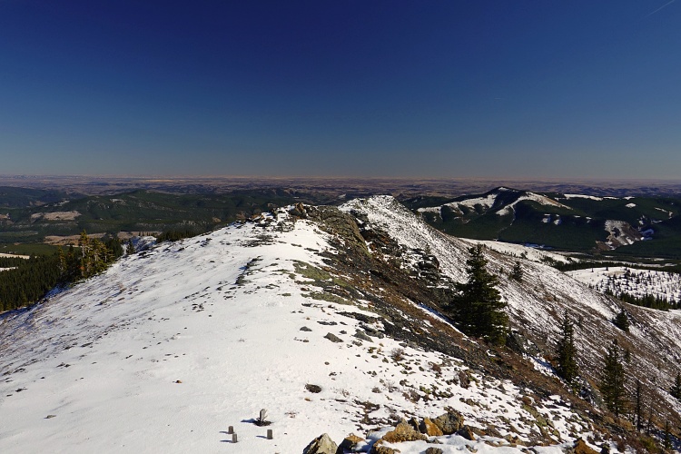
There is an optional detour to the north summit of the ridge but I decided to forego that today and continued straight south along the broad ridge, via a short steepish and rocky section, to the first high point labelled “Forgetmenot Ridge” on all the online maps I’ve seen. Most people turn around here and head back the same way. I continued down grassy slopes and the occasional rocky stretch to a gentle saddle that then slowly rises to the summit of “Forgetmenot Mountain” at the southern end of the massif. Interestingly, the latter is actually 9 m lower in elevation (2325 m) than the previous ridge highpoint (2334 m), at least according to my GPS.
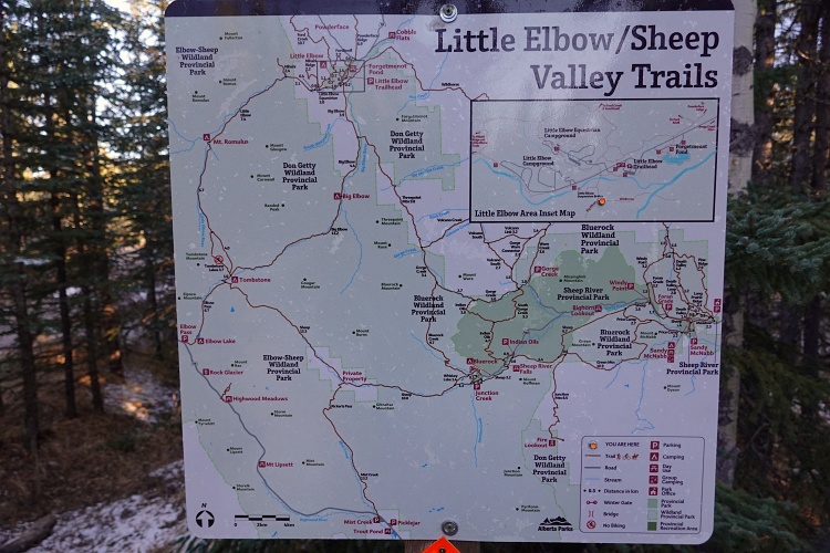
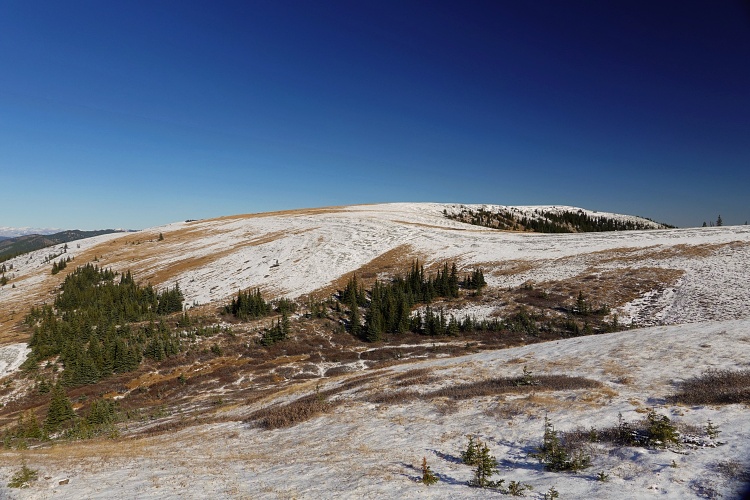
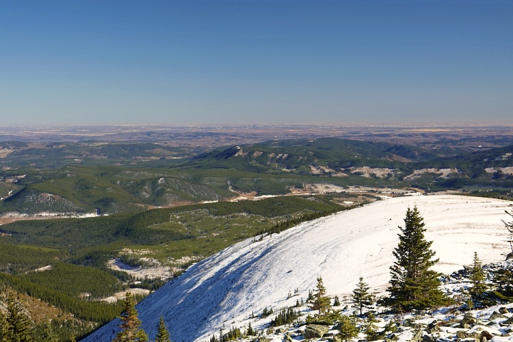
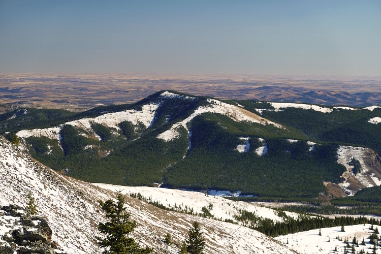
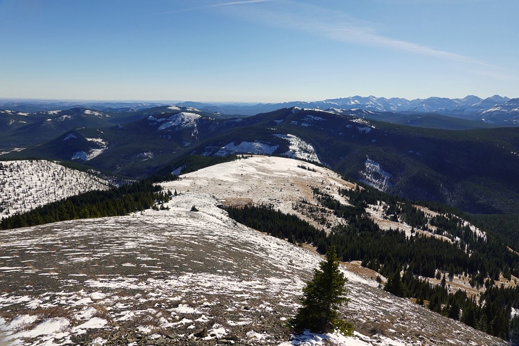
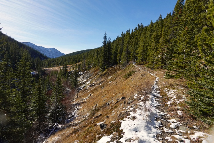
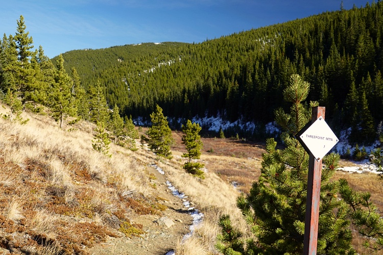
Instead of backtracking along the ridge, I decided to make a loop today and descend along a faint trail down the south slopes to a wide grassy plateau. A good horse trail can be found here that winds its way down to Threepoint Creek, makes a sharp turn west, and slowly climbs to the creek’s headwaters. Here, I joined Threepoint Mountain Trail which runs north and eventually brings you back to the Harold Chapman footbridge over the Elbow River by the campground.
I found Forgetmenot Ridge/Mountain to be a nice hike but nothing special overall. The loop is nice for variety and you won’t see another soul on the south side of the mountain and Threepoint Mountain Trail. On the other hand that last stretch is pretty boring as it’s all in the trees.
|
Elevation: |
2334 m |
|
Elevation gain: |
1160 m |
|
Time: |
7.5 h |
|
Distance: |
26.0 km |
|
Difficulty level: |
Easy (Kane), T2 (SAC) |
|
Activity: |
Hiking |
|
Reference: |
Local maps; Gillean Daffern’s Kananaskis Country Trail Guide Vol. 2 & 4 |
|
Personal rating: |
3 (out of 5) |
NOTE: This GPX track is for personal use only. Commercial use/re-use or publication of this track on printed or digital media including but not limited to platforms, apps and websites such as AllTrails, Gaia, and OSM, requires written permission.
DISCLAIMER: Use at your own risk for general guidance only! Do not follow this GPX track blindly but use your own judgement in assessing terrain and choosing the safest route. Please read the full disclaimer here.