Banff, AB, Canada
5 September 2019
With Vern & Mike
Straightforward, fun and beautiful
Day 1 & 2: Approach. Deluc Peak & Dip Slope Mountain
Day 4: Clearwater Mountain
Unlike yesterday’s strenuous and unsuccessful attempt at finding a route up Mount Harris, today was a completely different story: a sunny day blessed with summit success! Vern, Mike and I were on our last day of our 4-day backpacking trip through this remote corner of Banff National Park, dubbed Tour de Devon by Mike since we were basically making a big loop around Devon Mountain.
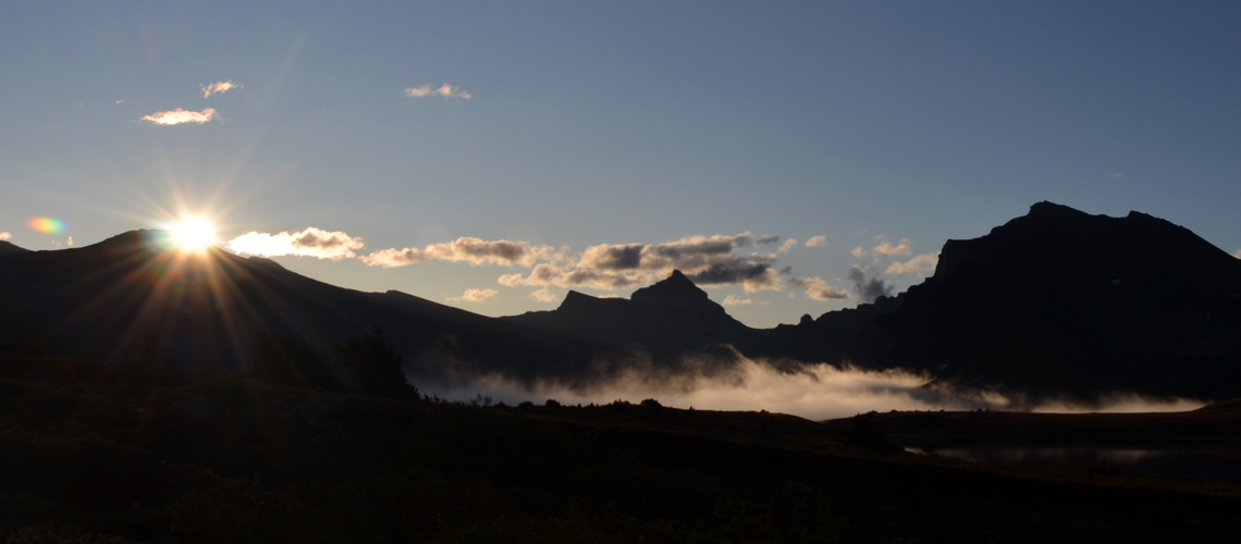
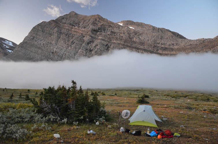
Clearwater Mountain, our last objective, was a thoroughly pleasant and enjoyable trip. Just like a couple of days before we once again had the weather on our side, a bluebird day that simply couldn’t have been better. It was still quite chilly at 6 AM when we got up to prepare breakfast, but as soon as the first rays of sunshine hit the mountain tops to the west it started to warm up. A huge carpet of white clouds had amassed in the Clearwater Valley below us to the east. Watching the clouds move up towards us and slowly cover Devon Lakes was a quite a morning show!
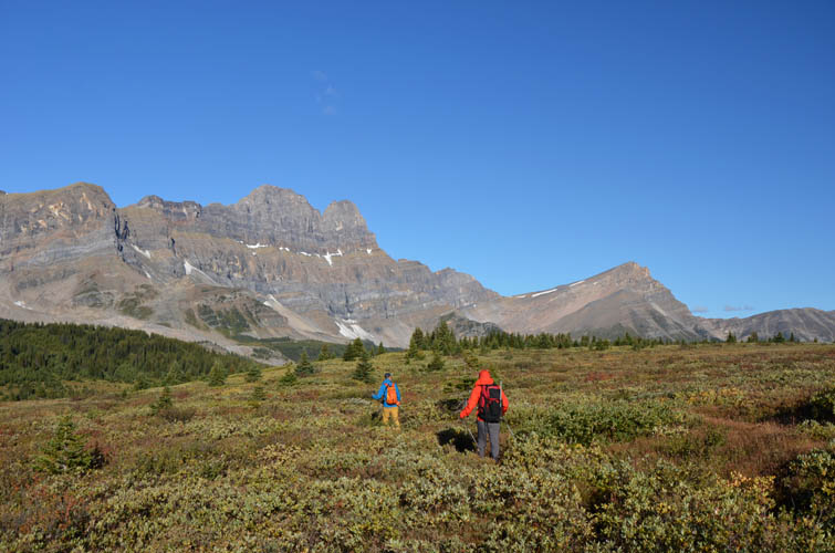
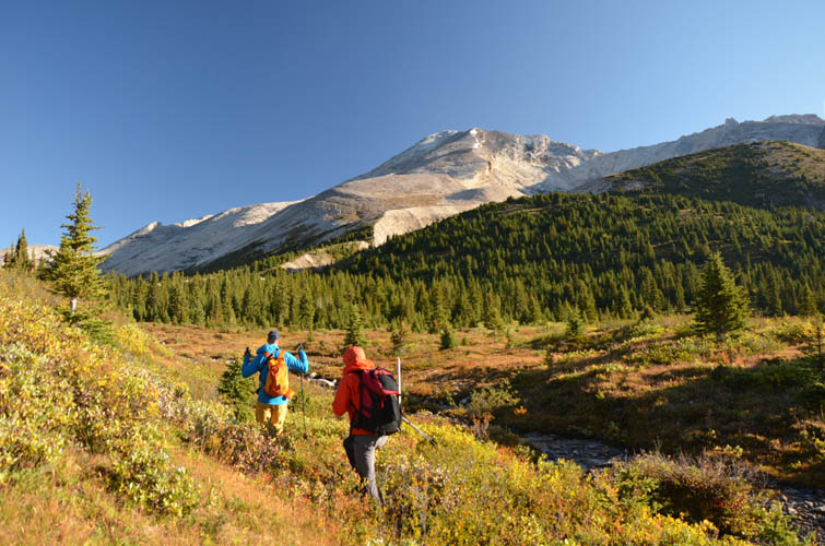
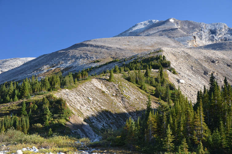
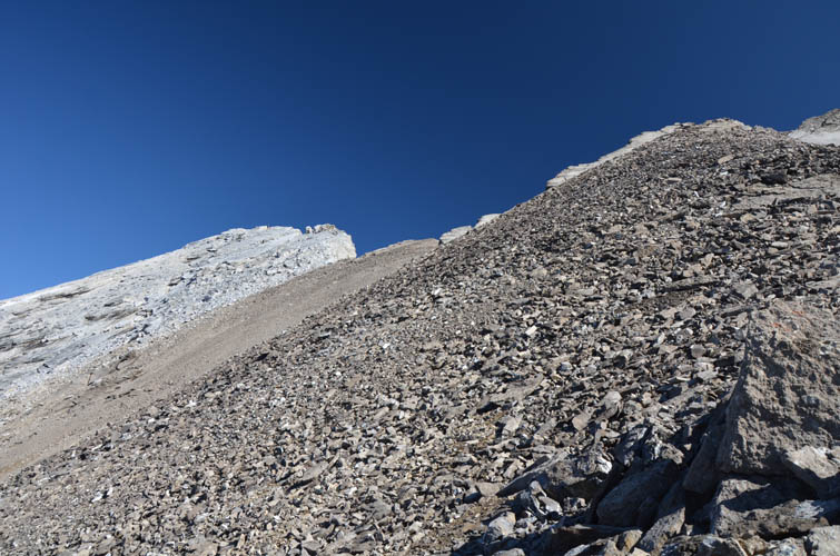
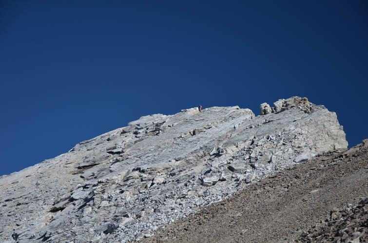
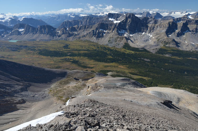
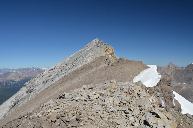
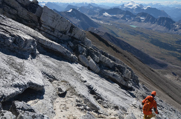
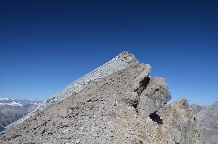
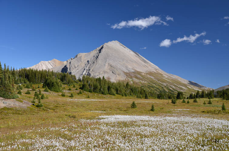
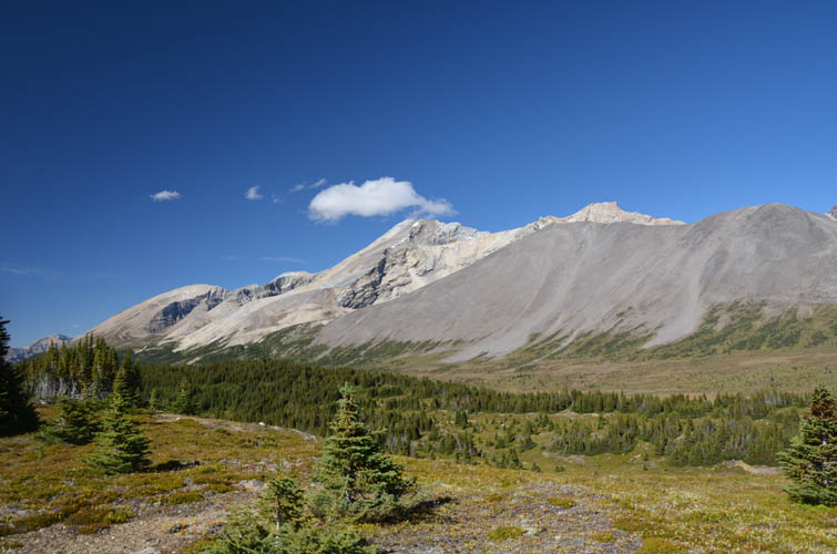
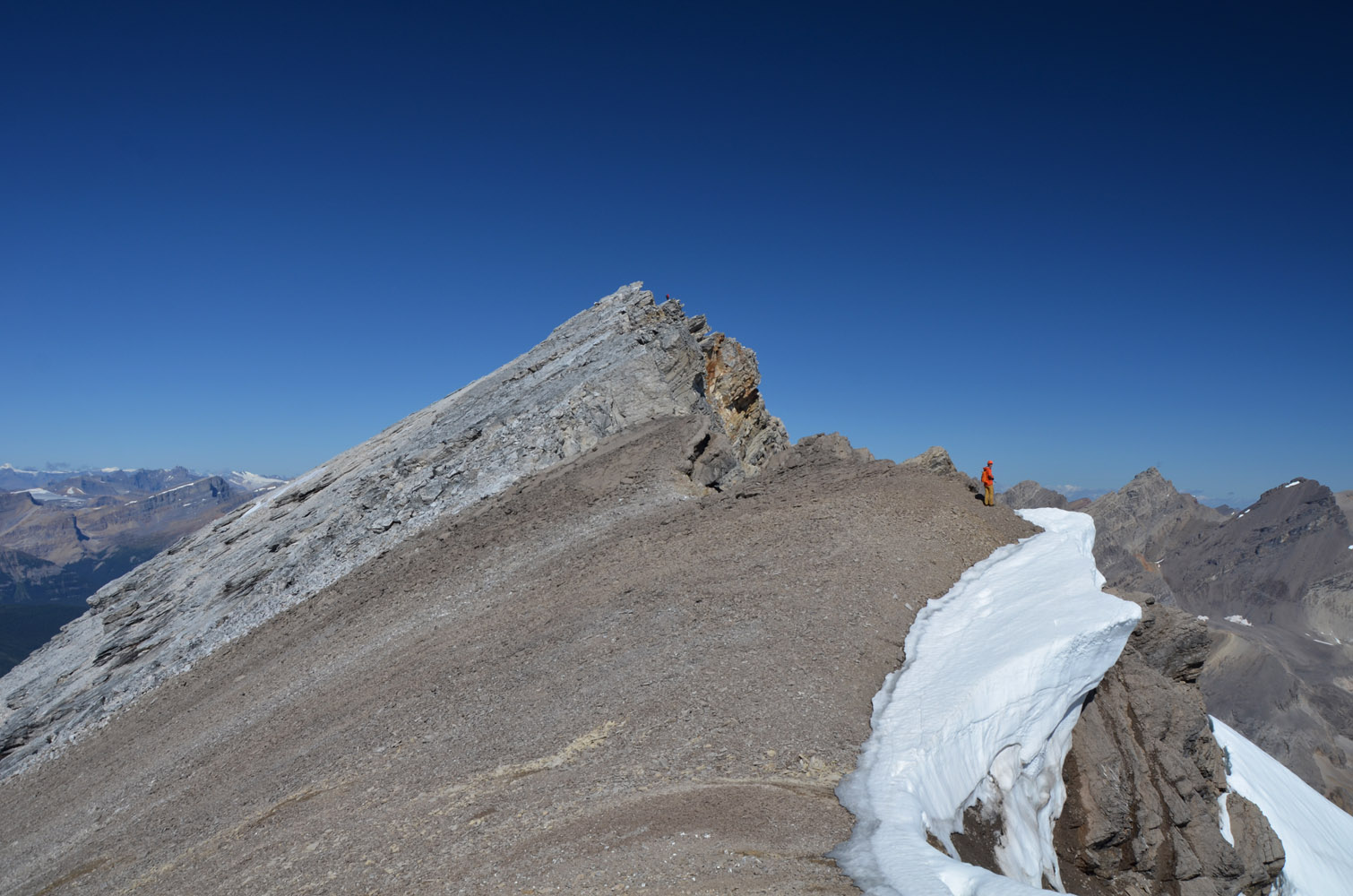
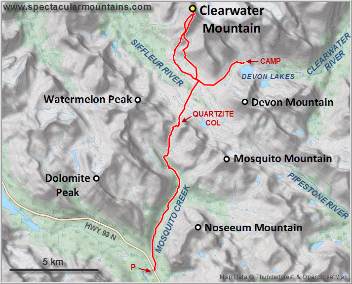
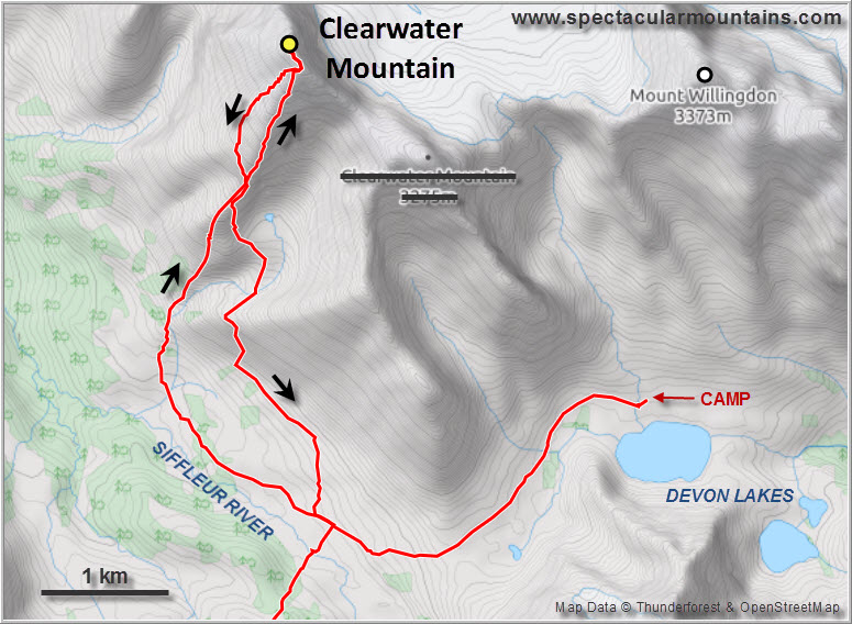
To get to Clearwater Mountain’s base on its west side we took the trail to Clearwater Pass a few km further southwest, then turned northwest on a poorly trodden trail along the Siffleur River, dumping our overnight packs en route so we’d only be climbing with light day packs. The route up Clearwater Mountain is easy and straightforward: simply follow an open ridge that steadily rises from the SSW towards the summit in the NNE. It’s almost all open, rocky terrain and fairly easy to hike. A short stretch of large grey quartzite boulders is the only unpleasant part. Arriving at the summit ridge, we enjoyed a short section of moderate scrambling on west-dipping slabs to the cairned summit, where Vern replaced the old wet register with a new one. The summit mass consists of bright white quartzite and even features pockets of fine white sand like on a tropical beach!
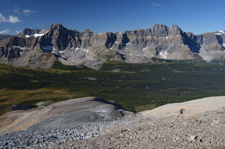
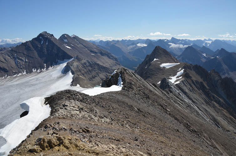
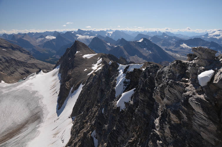
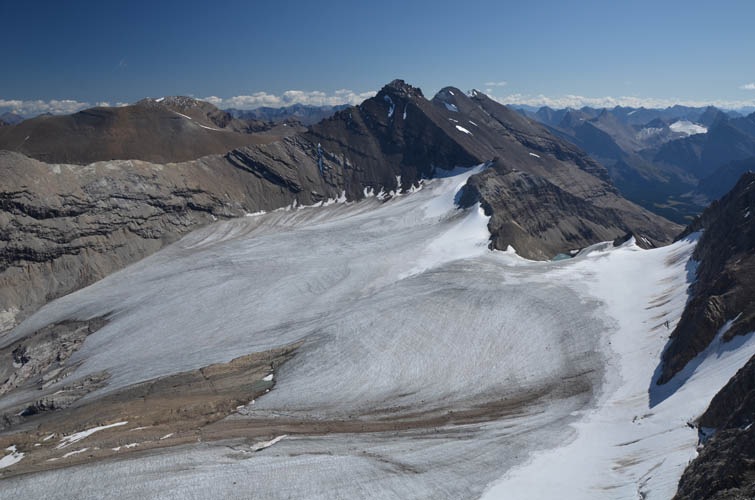
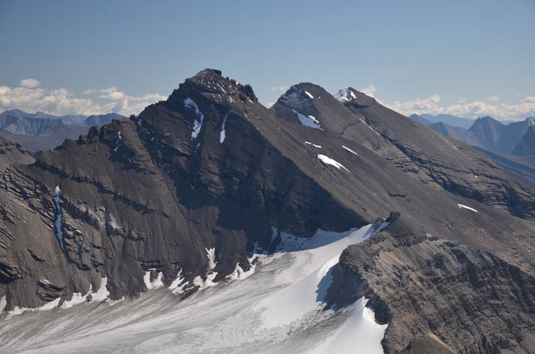
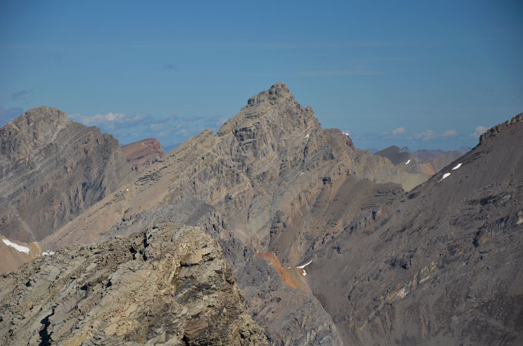
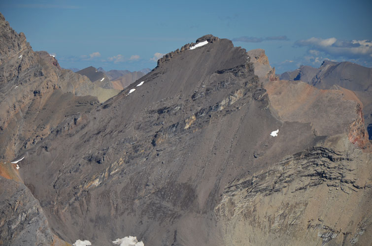
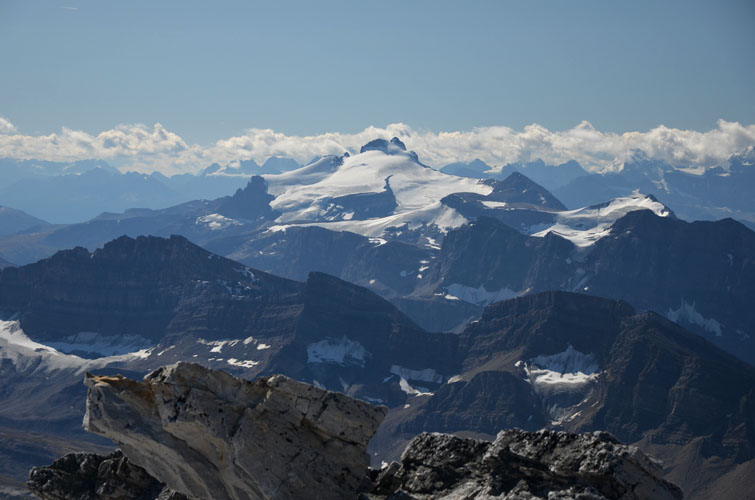
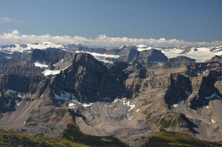
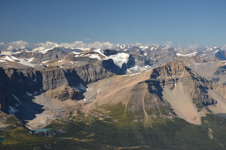
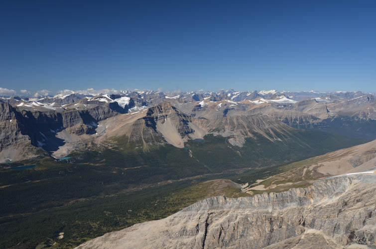
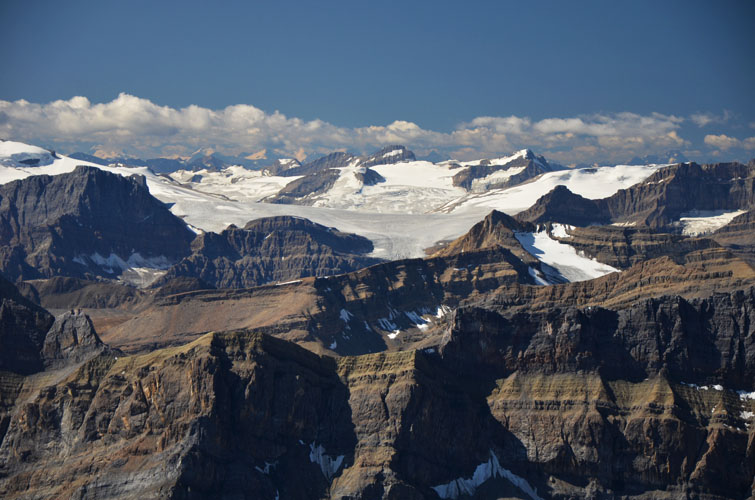
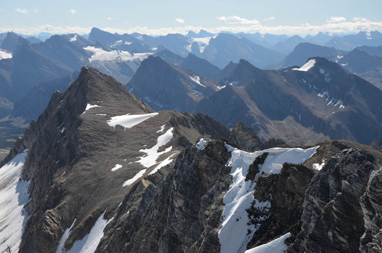
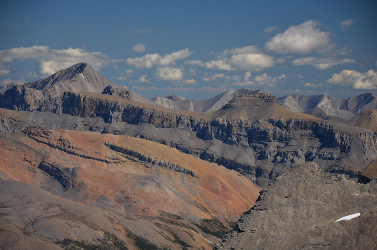
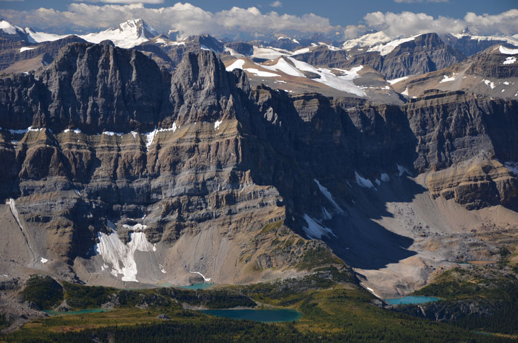
All three of us were really taken by the stunning views from this lofty but rarely visited peak. The entire glacier below Mount Willingdon can be seen, with Crown and South Tower behind, while even more remote peaks like Augusta, Recondite and Kentigern line the horizon to the north, with numerous other peaks unknown or unrecognizable to me in between.
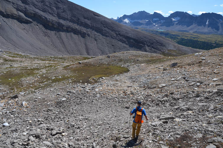
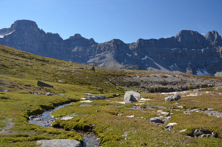
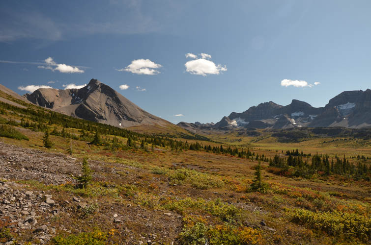
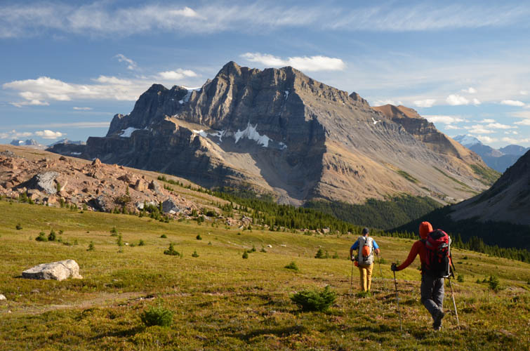
It was so beautiful up here that none of us really wanted to leave, but eventually we slowly made our way back the same way we came up. Half-way down the mountain, we veered south towards a small grassy cirque nestled among the western slopes of Clearwater Mountain. It was the perfect place to spend some more time resting in the lush green grass and taking refreshing sips from the crystal-clear water of the little creek running down the cirque. We continued south across meadows, aiming for the spot where we had stashed our packs, stumbling upon a second and higher trail on the way that appears to run parallel to the horse trail in the valley by the Siffleur River that we had taken in the morning. Although it was nice to be on a trail again for a while, the terrain in this area is generally so mellow that you can really hike anywhere you want.
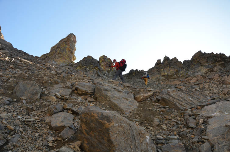
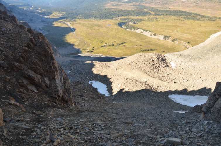
All that remained for us to complete our big loop now was to hike back to Mosquito Creek and follow the trail out to the parking lot by the highway. Easy, except of course we first had to ascend and descend Quartzite Col in order to get out of the Siffleur River Valley, meaning an additional 500 m of elevation gain to overcome. Lucky for me, both Vern and Mike had gone over Quartzite Col several times before and knew the route over this infamous pass very well. A lot of people apparently to go wrong here by ascending/descending a steep ice-filled couloir on the northeast side of the pass. A much easier route is to simply slog up scree and mud to a slightly higher point on the pass along its southern end, which avoids any ice or snow altogether and is merely of moderate difficulty (at least at this time of the year!).
Hiking back to our cars from the col was a long but very enjoyable, now that all the elevation gain was behind us. A faint trail from other parties led us down the mud and scree slopes on the other side of Quartzite Col to easy meadows, with terrific views of Quartzite Peak and Ramp Peak and the giant chunks of cliff that have collapsed onto the slopes below. We found the climber’s trail that Vern remembered from previous trips in the small valley that forms the northern tributary of Mosquito Creek and followed it out (with a short unnecessary detour due to some stupidly placed bright orange flags!). The path joins up with the main Mosquito Creek trail, then it was easy cruising back to the parking lot.
Our feet were aching, our muscles sore, but that is certainly a small price to pay for four days of prime hiking, scrambling and exploring in one of the most beautiful, wild and pristine places the Canadian Rockies have to offer. It is nothing but a privilege to be able to experience places like this, places that really aren’t that hard to get to but are very rare to find in today’s world.
|
Elevation: |
3277 m (official), 3283 m (my GPS) |
|
Elevation gain: |
1820 m |
|
Time: |
12.5 h |
|
Distance: |
26.5 km |
|
Difficulty level: |
Moderate (Kane), T4/T5 (SAC) |
|
Reference: |
|
|
Personal rating: |
4 (out of 5) |
NOTE: This GPX track is for personal use only. Commercial use/re-use or publication of this track on printed or digital media including but not limited to platforms, apps and websites such as AllTrails, Gaia, and OSM, requires written permission.
DISCLAIMER: Use at your own risk for general guidance only! Do not follow this GPX track blindly but use your own judgement in assessing terrain and choosing the safest route. Please read the full disclaimer here.

