High Rock Range, AB, Canada
25 September 2019
With Sean
Easy ridgewalk with fantastic views
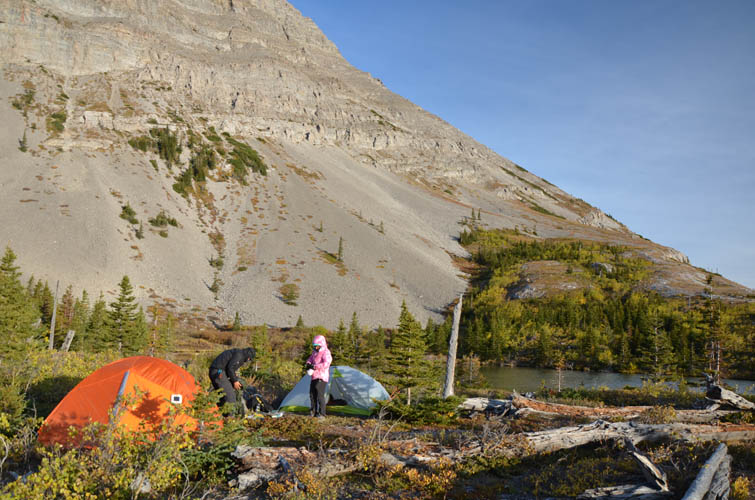
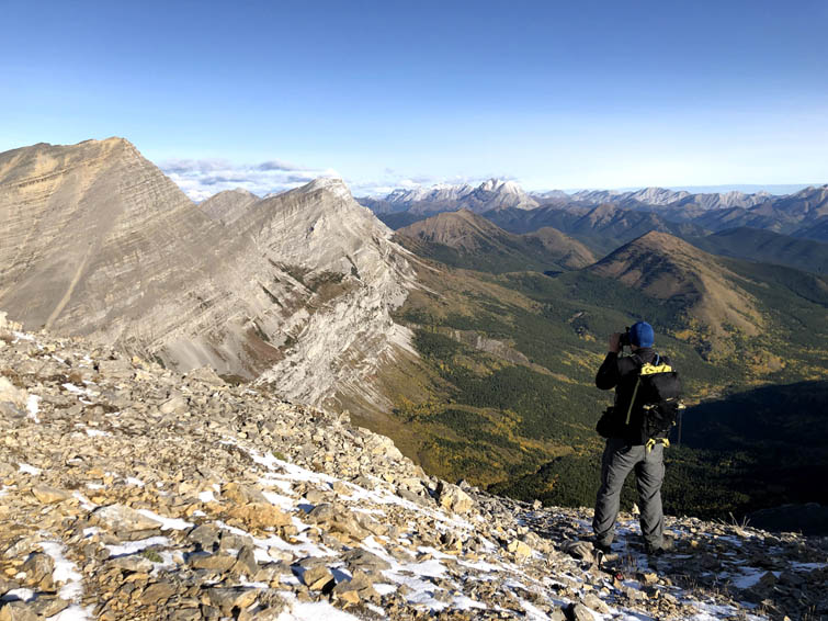
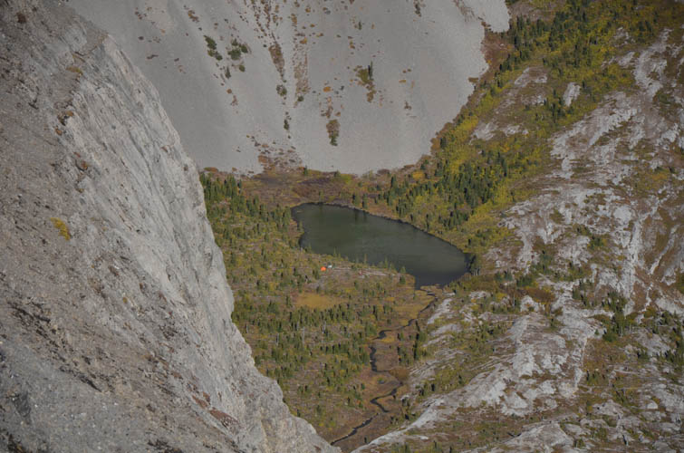
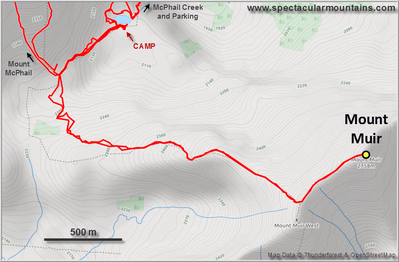
On the second day of our short backpacking trip into the High Rock Range of Kananaskis, Sean and I tackled Mount Muir while Wen couldn’t resist the temptation to take it easy and linger at our beautiful campsite by the little tarn below Weary Creek Gap. “Tackle” is a bit too much as Mount Muir is really no more than a strenuous hike with a few steps of easy scrambling. Compared to the slog I experienced on Mount McPhail’s south slopes the day before, the trip up Muir today was simply a delight!
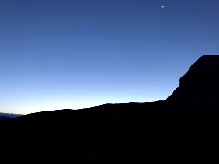
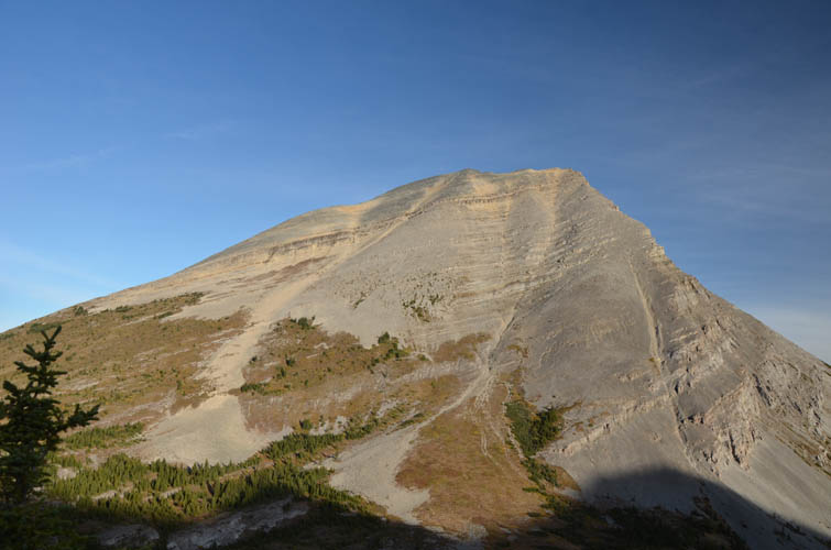
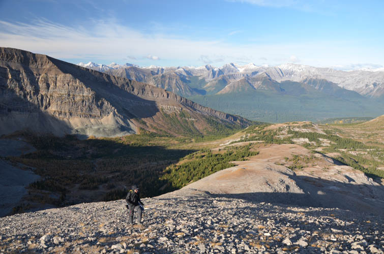
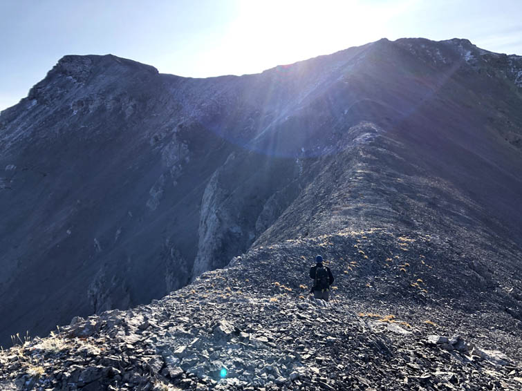
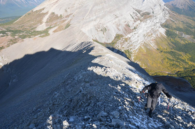
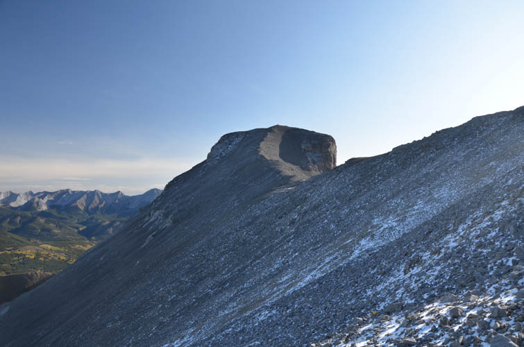
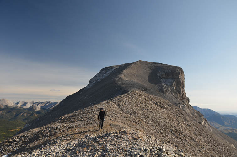
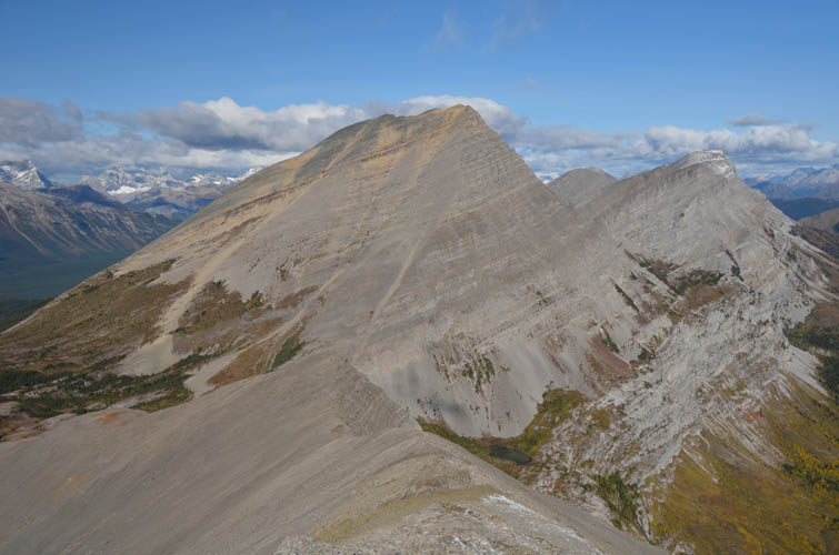
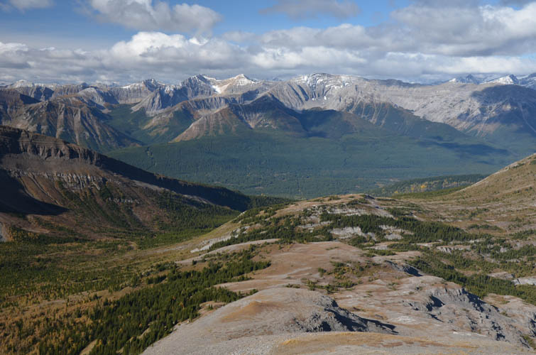
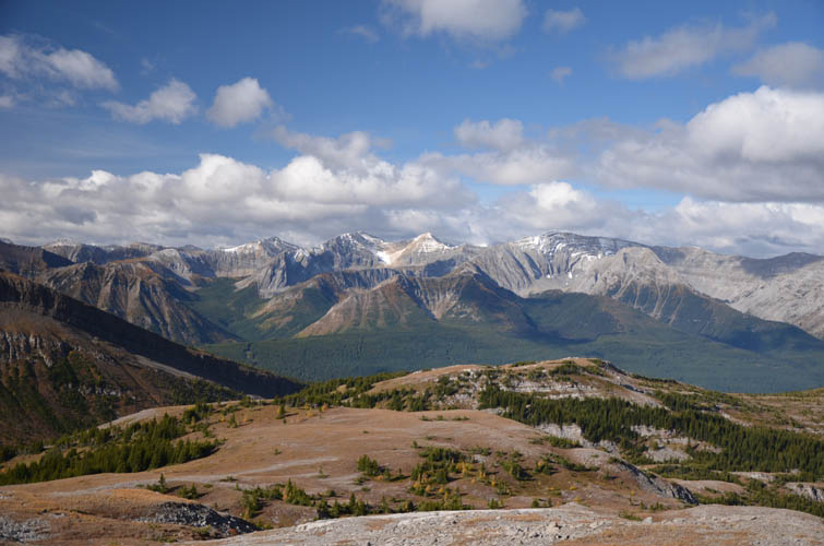
The night had been bitterly cold and we all got up early to catch some warmth from the day’s first sunrays. After a satisfying breakfast, Sean and I headed up the faint trail towards Weary Creek Gap, then turned left (cairn) towards Muir’s gentle west ridge. Much of the initial ascent was on comfortably grassy slopes with bits of scree in between. Just before a minor bump on the ridge the terrain became rocky and the ridge narrowed. Sean and I kept on plodding up at a good constant speed – our hands and feet were just too cold, we really didn’t want to stop. Thankfully it was a beautiful clear day and the sun was shining directly in our faces as we ascended the last section of ridge from the false summit. Sean made the interesting observation that Muir’s summit mass looks a bit like an elephant’s head, and I think he’s totally right: two big ears on a bulky head!
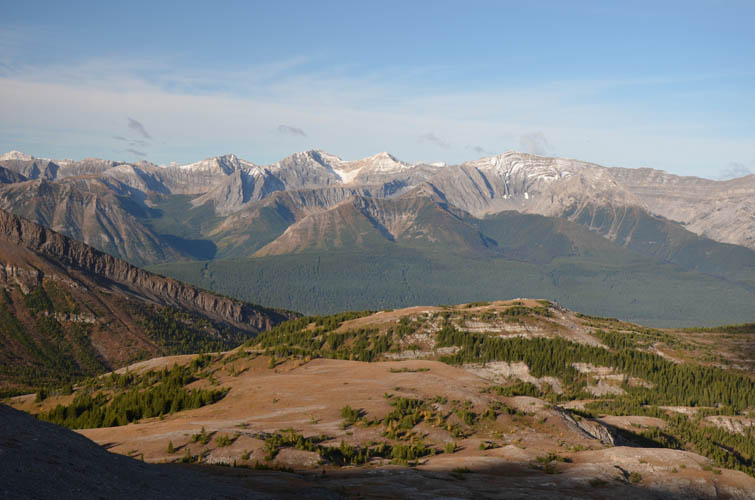
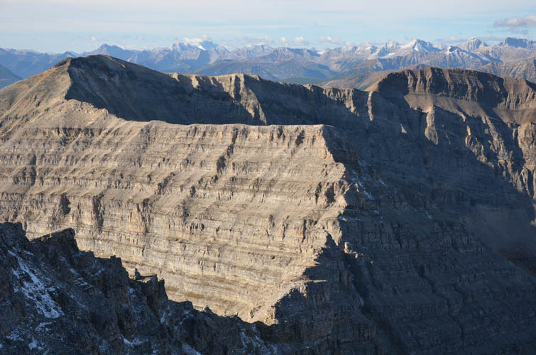
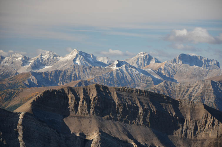
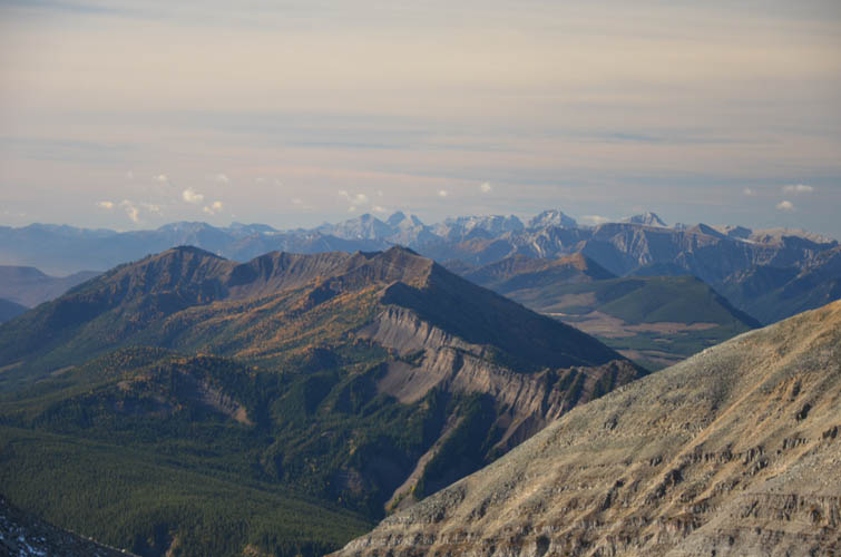
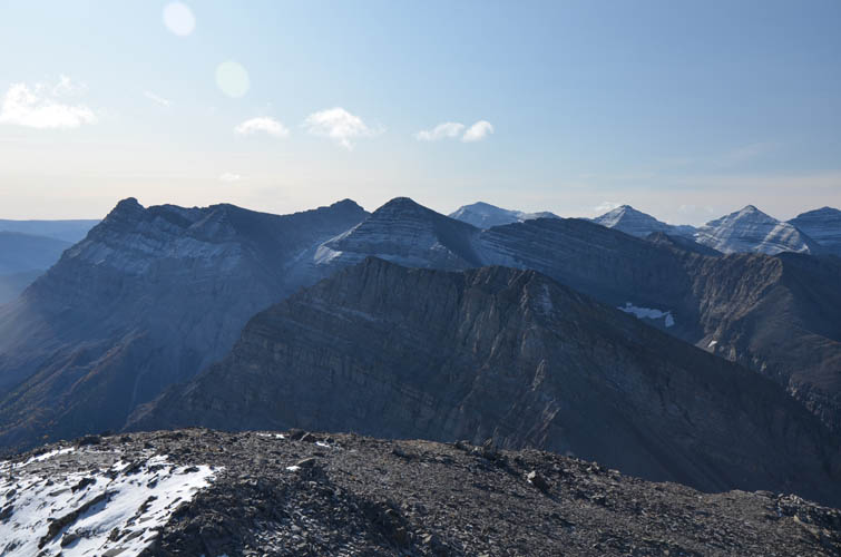
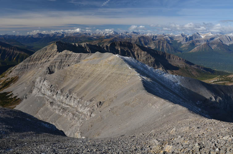
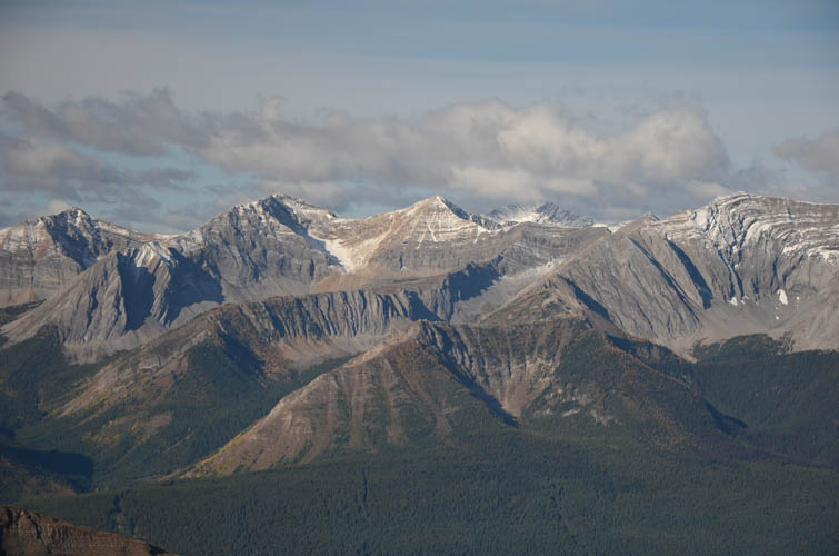
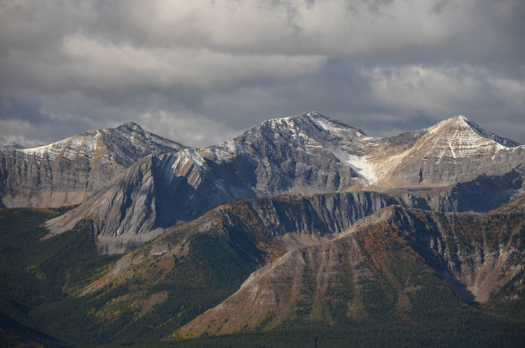
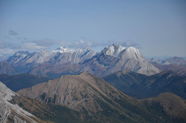
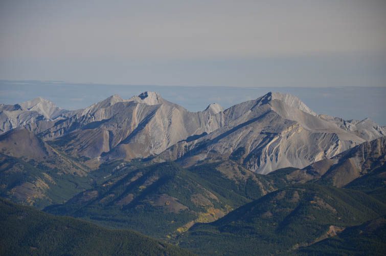
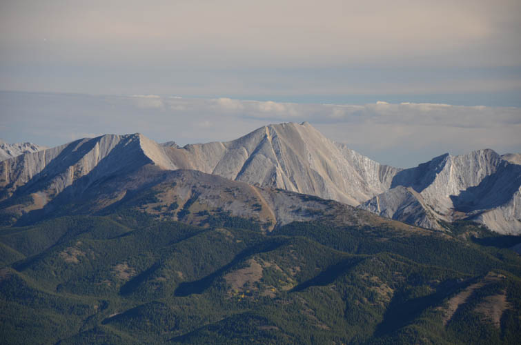
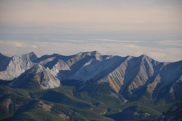
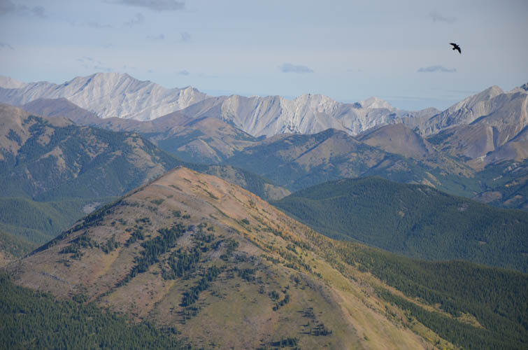
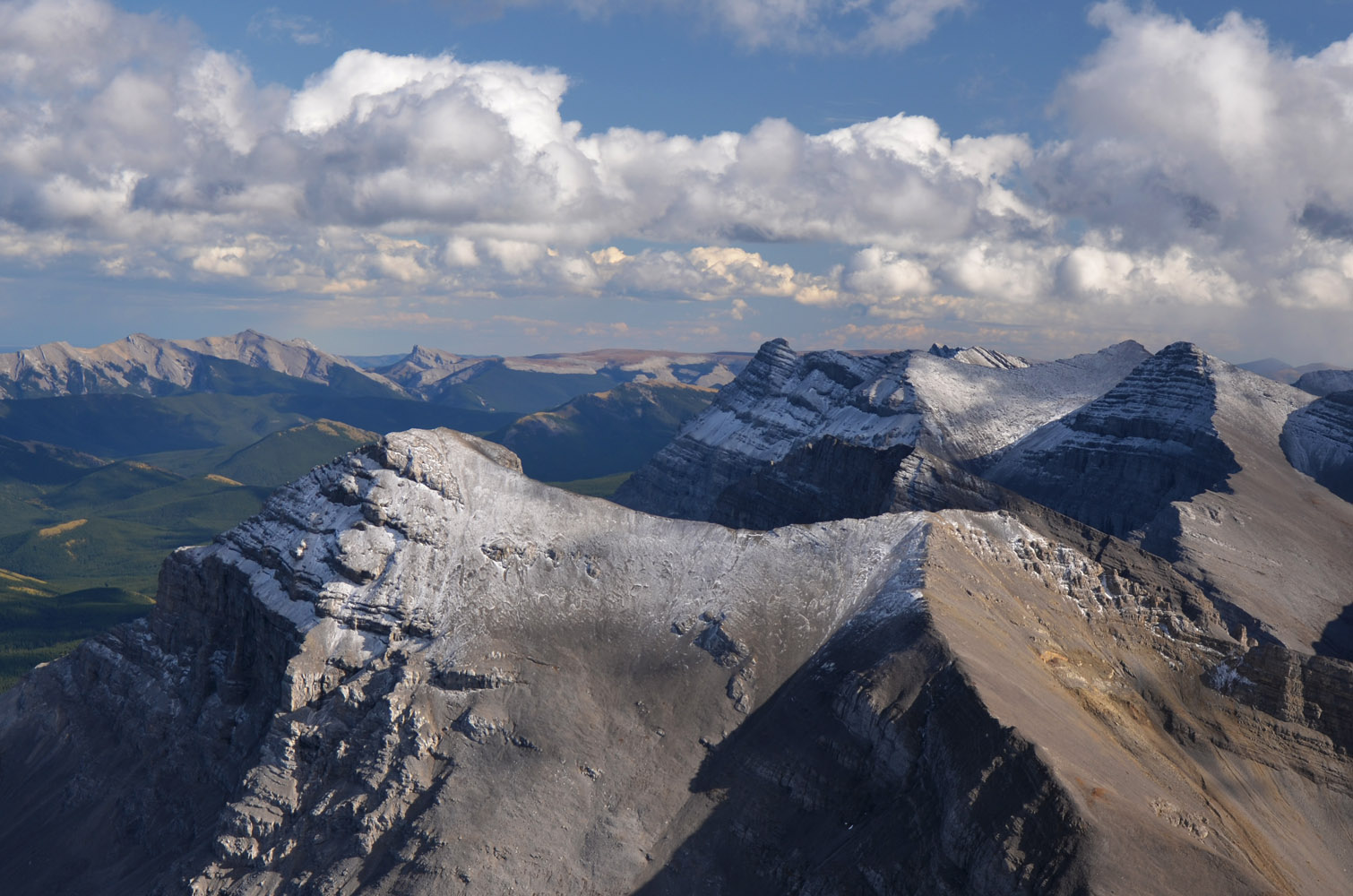
We found a register in the stately summit cairn, but sadly the contents were just a frozen ball of twisted paper. Sean and I were both blown away by the summit panorama. It was like standing on the edge of a huge escarpment, a massive wall of grey limestone with its undulating ridge of peaks and saddles that continues far into the distance to the north and the south. Muir’s sharp east face drops down into a vast expanse of green valleys and brown hills, interrupted only by a line of front range peaks far to the east. It was truly spectacular to see all this with bright blue skies around us. On a cloudy day I imagine it’d be a completely miserable experience to be up here…
It was quite chilly, however, so after a short period of bliss we decided it was time to head back. The descent was absolutely delightful as we retraced our steps down the scenic ridge and back to the mellow grassy slopes. Wen had set up a wonderful campfire to keep warm while we were gone, which was much appreciated by the boys. After a relaxing lunch break around the fire, we packed up and headed back down the headwall towards the Hill of the Flowers, the last destination of our backpacking trip.
|
Elevation: |
2758 m (official), 2741 m (my GPS) |
|
Elevation gain: |
710 m (from camp at tarn) |
|
Time: |
3 h (camp to camp) |
|
Distance: |
7.0 km (camp to camp) |
|
Difficulty level: |
Easy (Kane), T3 (SAC) |
|
Reference: |
Nugara |
|
Personal rating: |
4 (out of 5) |
NOTE: This GPX track is for personal use only. Commercial use/re-use or publication of this track on printed or digital media including but not limited to platforms, apps and websites such as AllTrails, Gaia, and OSM, requires written permission.
DISCLAIMER: Use at your own risk for general guidance only! Do not follow this GPX track blindly but use your own judgement in assessing terrain and choosing the safest route. Please read the full disclaimer here.