San Marino
11 August 2018
With Wen
A microstate tourist stroll
Normally, I wouldn’t include such minor hikes in my write-ups. To justify a proper trip report, I feel some significant effort should be involved in getting up and down a ridge, peak, mountain, etc. This is a very subjective and personal choice of course, and what may be a lot of effort to me might be a piece of cake to someone else – and vice versa. But this one is different: this is a hike to the highest point of the Republic of San Marino after all!
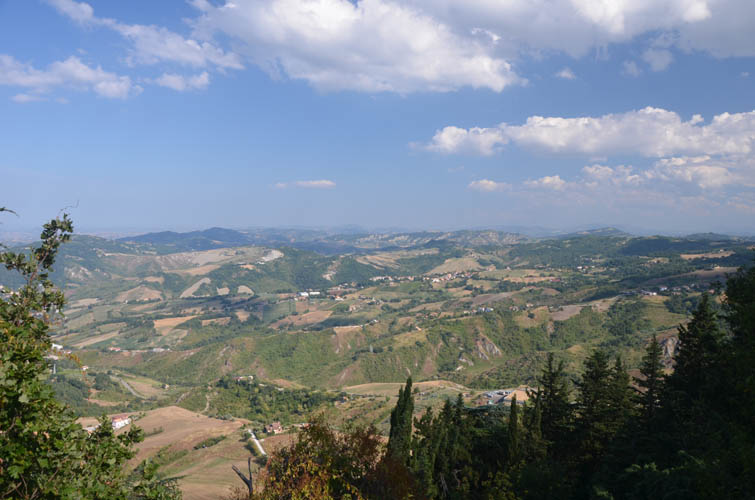
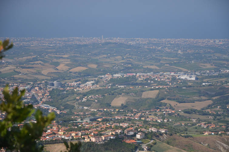
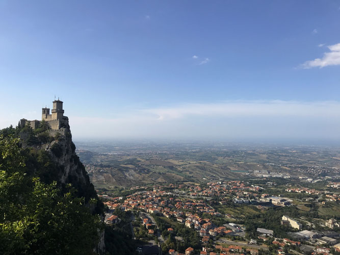
San Marino is one of the oldest republics in the world and one of the five microstates of Europe (together with Andorra, Liechtenstein, Monaco and Vatican City). It covers about 60 km2, barely bigger than the island of Bermuda, and is completely surrounded by Italy but does not form part of the European Union. It’s another tax haven just like the other mini-states, so duty-free shopping for cigarettes, alcohol, perfume and other goods is the main thing to do for those who somehow find their way here. Oh, and stamps, of course! San Marino stamps are sold everywhere and seem to be quite popular with collectors.
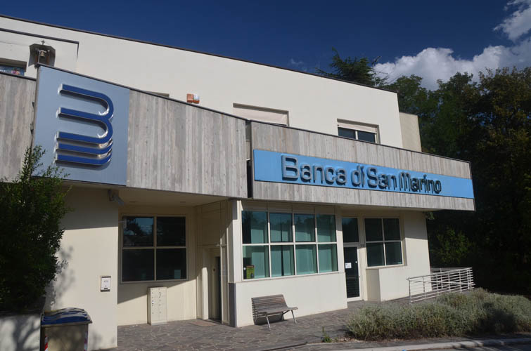
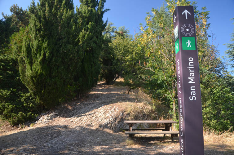
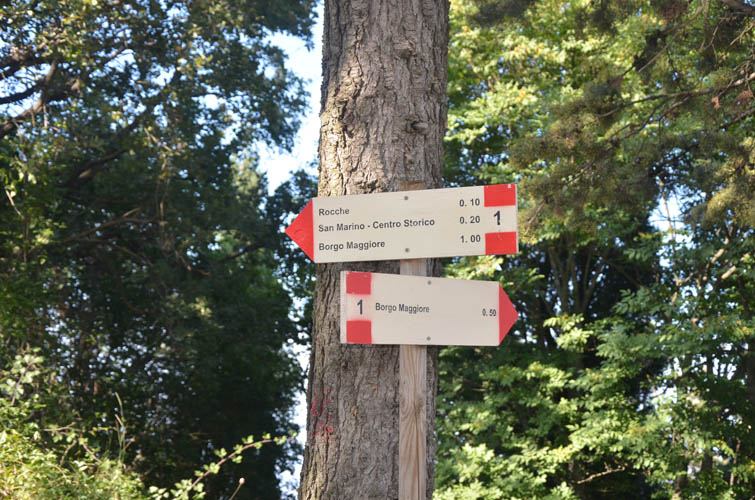
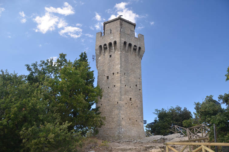
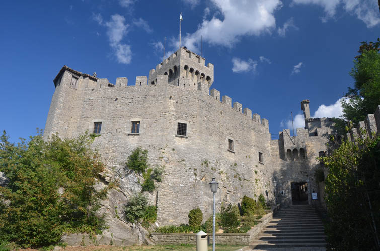
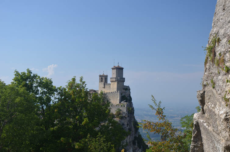
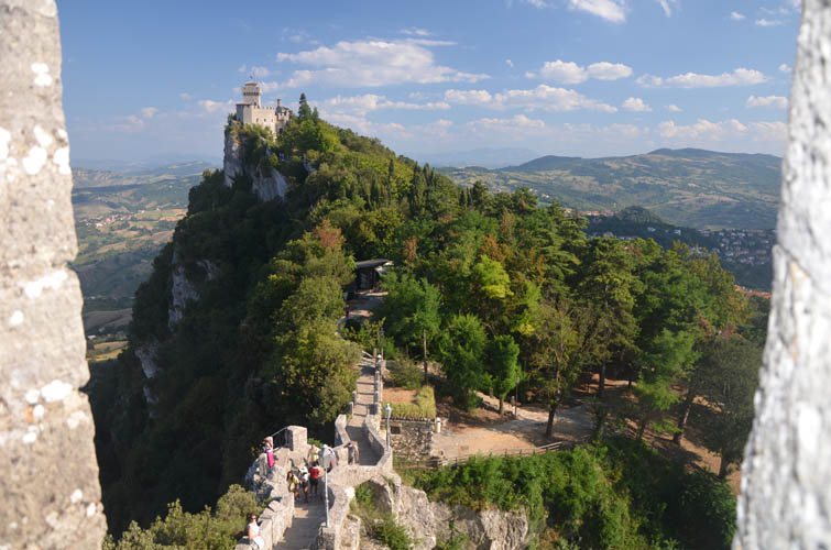
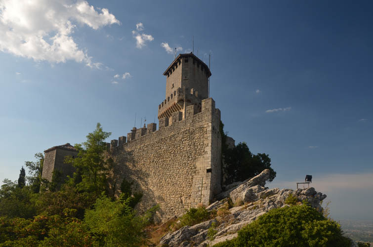
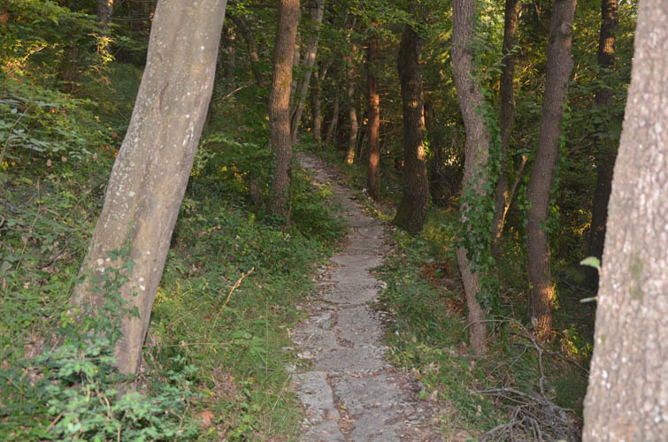
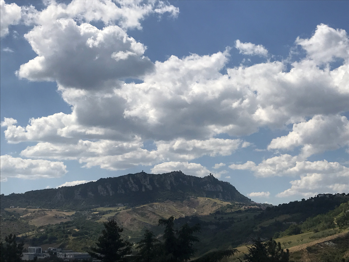
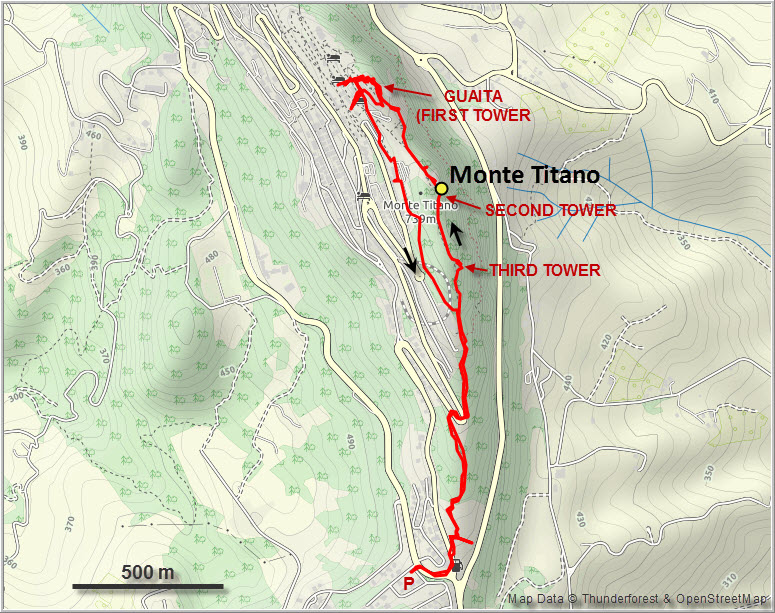
Monte Titano – or Mount Titan in English – is of historical significance because of its three ancient fortified towers, some of which were used as prisons and as lookouts to warn the local population of approaching enemies as far back as the 12th century. While you can drive almost all the way up, we chose to leave our car further down in the town of Murata, from where a pleasant forest trail leads up the ridge and the three different towers along it. We took a nice long break in the shady alleyways just below the main fortress Guaita, which are full of perfume stores, cafes, restaurants and the usual tourist junk shops.
Away from the built-up streets near the fortress, a network of narrow trails criss-crosses the forested ridge on Monte Titano’s northern slopes. Unfortunately, these trails aren’t the cleanest – some rubbish here and there, and lots of toilet paper in certain corners. Wen’s knee was still swollen from our big Zugspitze trip a few days ago, so to minimize any elevation loss, we chose a direct line through the forest back to the main trail and our car.
A nice stroll to a historic site and the high point of a European microstate. Not the most attractive of trails, but the walk in the forest is much quieter than the tourist-laden top.
| Elevation: | 739 m (official), 733 m (my GPS) |
| Elevation gain: | 310 m |
| Time: | 3.5 h |
| Distance: | 5.9 km |
| Difficulty level: | Easy hike (Kane), T1 (SAC) |
| Reference: | Local maps |
| Personal rating: | 2 (out of 5) |
DISCLAIMER: Use at your own risk for general guidance only! Do not follow this GPX track blindly but use your own judgement in assessing terrain and choosing the safest route.