Ometepe Island, Nicaragua
2 June 2015
With Wen
Concepción was our first big hike in Nicaragua, and a very exciting one at that because it goes up to the top of an active volcano! It’s the higher one of the twin volcanos on Ometepe Island, the biggest island in Lake Nicaragua.
We had hired a guide by the name of Silvio, a very experienced, kind and gentle man who was amazingly fit considering he was already in his 60s. We were joined by Emir, a junior guide who sort of just tagged along, as well as Mikaela, a single backpacker from Sweden who was also keen on conquering Ometepe’s highest volcano.
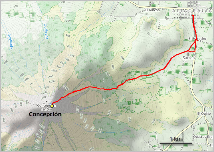
The little town of Altagracia makes for a great base to hike both Concepción and Maderas, the neighboring volcano. Two other routes go up to the top of Concepción, one from the west and one from the south. We chose the eastern route, which is on a good trail and seems to be the most popular one. To avoid the heat of the day as much as possible we started our trek at 4:30 am, walking down the deserted streets of Altagracia in the dark. For supplies we had a few loaves of local white bread, some bananas, granola bars and about 4 litres of water each with us.
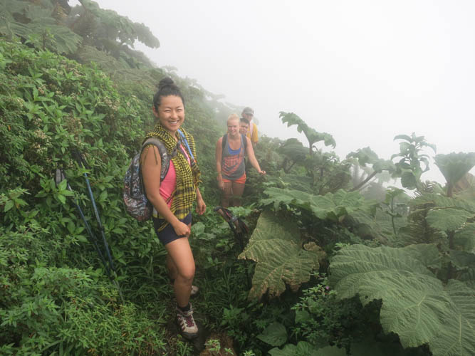
Technically, this is a pretty easy and straightforward hike, at least for experienced hikers. We started on a wide and well-beaten trail through a lush, tall forest with a group of monkeys howling somewhere in the background. The slope quickly steepened, forcing us to stop talking and concentrate on the many slippery roots and muddy spots instead. In a few places the route leaves the trees and goes through open terrain, but the views were non-existent unfortunately – everything was covered in dense clouds and we couldn’t see far. Higher up we had to climb up a steep, rocky drainage that took us straight up the slope for quite a ways. When we emerged from the drainage, the landscape had changed dramatically. No more tall trees, but Hobbit-style vegetation with huge, otherworldly ferns and leafy plants instead. We were completely engulfed by the lush foliage on the overgrown path here and, though steep and tiring, it was really neat to be hiking through this fascinating landscape.
Close to the summit, the vegetation abruptly disappeared and we trudged up a dry, barren slope of grey mud the last few metres to the crater rim. Thick smoke enveloped us as we approached the summit. This wasn’t just clouds, it was also sulphurous fumes from the volcano as we could tell by the foul smell penetrating the air. This is an active volcano after all! You definitely want to be very careful up here to avoid inhaling too much of the fumes and also to avoid getting too close to the edge of the crater. Here, the ground is soft and warm to the touch due to the heat generated inside the crater. The crumbly “rock” can be unstable and with all the vapour it’s hard to see exactly how far you can go. Right at the edge, it’s a vertical drop down hundreds of metres into the abyss!
Because of the fumes, we didn’t stay long at the summit and decided to retreat to a more “ventilated” spot further down the path to take our lunch break. The sun even came out on our way down, opening up beautiful views of the island including the neighboring volcano of Maderas.
This was a fantastic hike through a unique and diverse landscape. It’s certainly steep and physically demanding, but the reward is you get to stand atop an active volcano and might just be lucky enough to have some views from Ometepe’s highest peak.
Notes on logistics:
- A guide is useful since they can tell you all about the local flora and fauna and they know every turn-off where you’d otherwise waste time looking for the correct route. They can also tell you when/if it’s safe to head up, or when it’s better to stay away from the poisonous sulphurous fumes at the crater.
- One guide suffices and should cost around US$20. Tip generously if they did their job well.
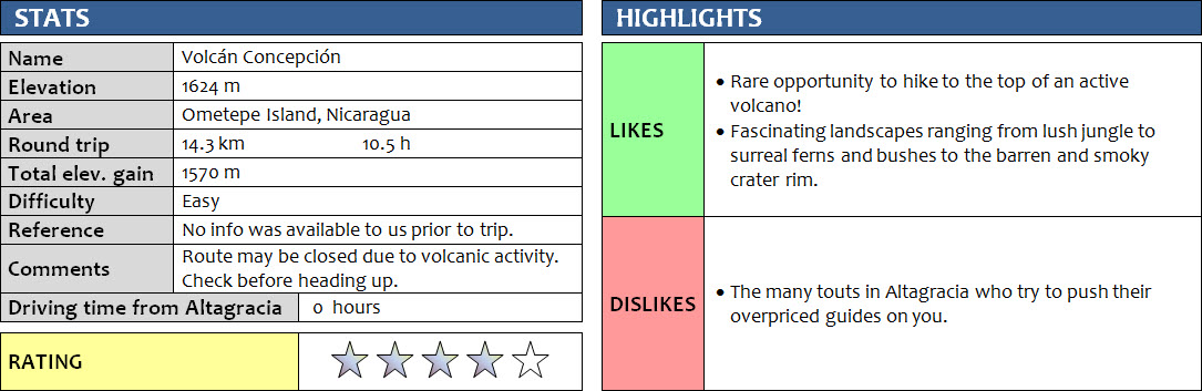
DISCLAIMER: Use at your own risk for general guidance only! Do not follow this GPX track blindly but use your own judgement in assessing terrain and choosing the safest route.
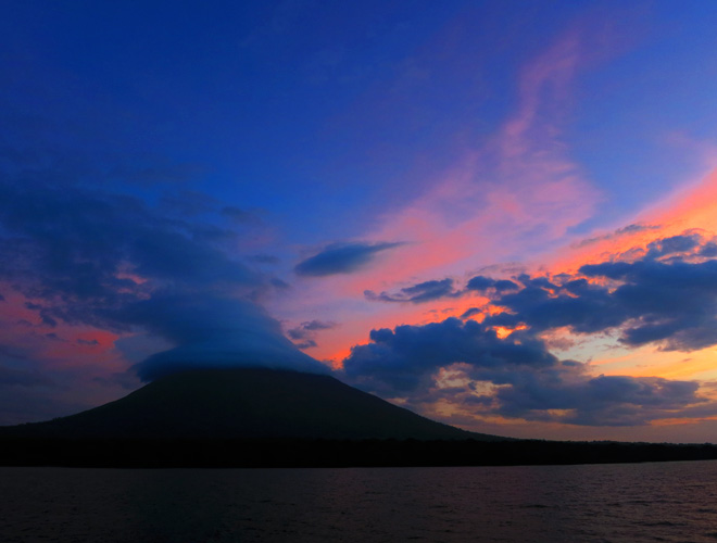
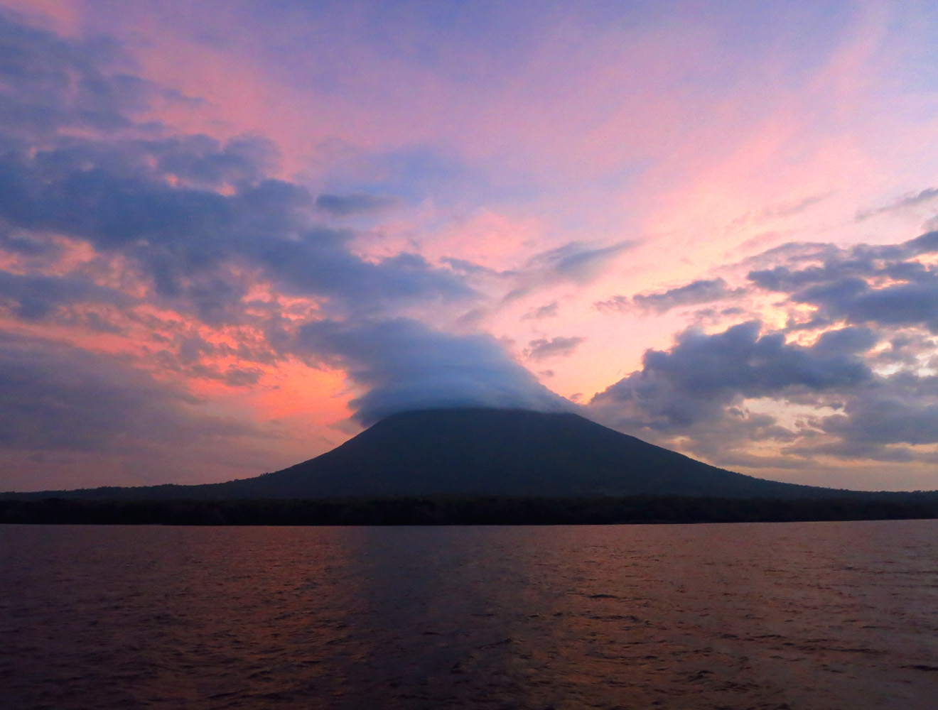
Volcán Concepción as seen from the ferry from Granada the evening before.
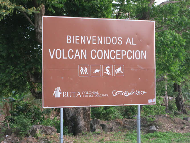
A big sign greets hikers at the trail head.
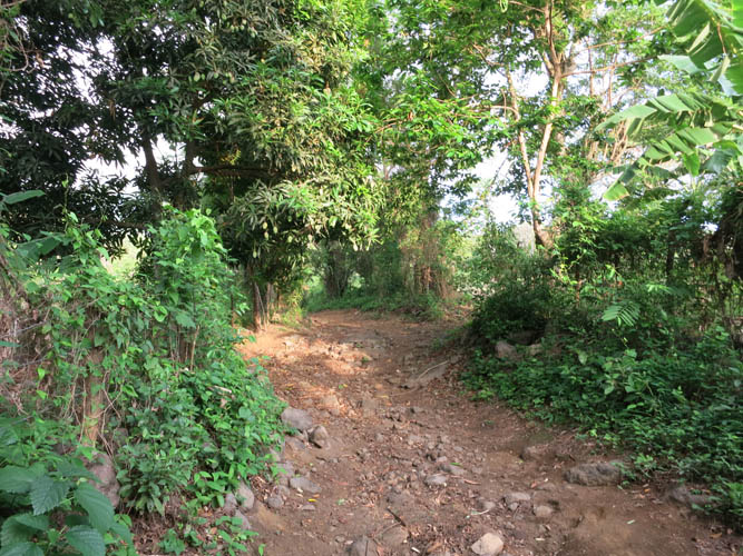
Initially, the trail is wide and open.

Fresh avocados straight from a tree by the trail.
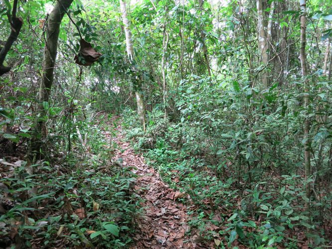
It quickly gets steeper and lusher.
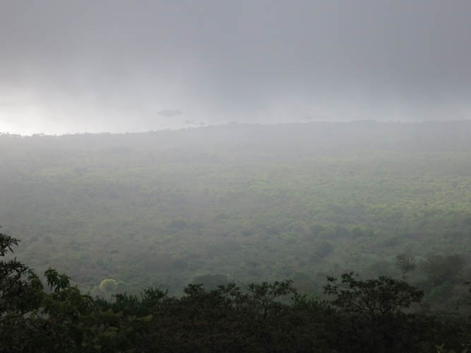
Unfortunately, low-hanging clouds obscure the views for much of the ascent.
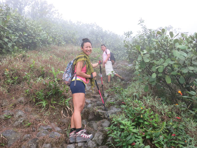
Wen with Emir.
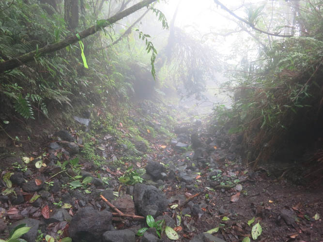
The rocky drainage. Occasionally there was flagging (left) to indicate the correct route.
Slogging up the drainage.
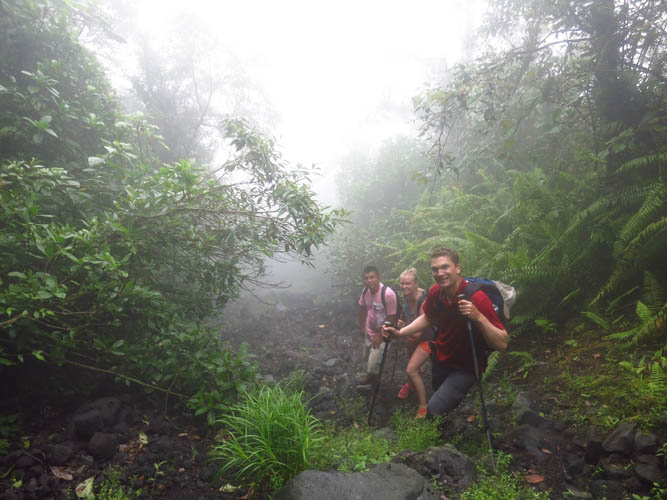
Higher up the vegetation dramatically changes.
We are still in the clouds and it’s super steep now!
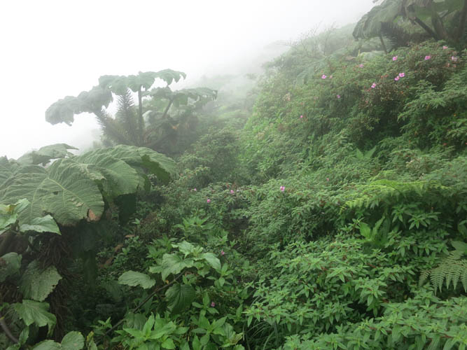
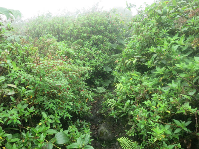
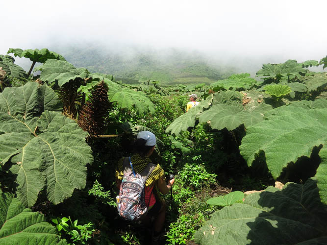
The trial is increasingly overgrown by huge leafy plants, bushes and ferns.
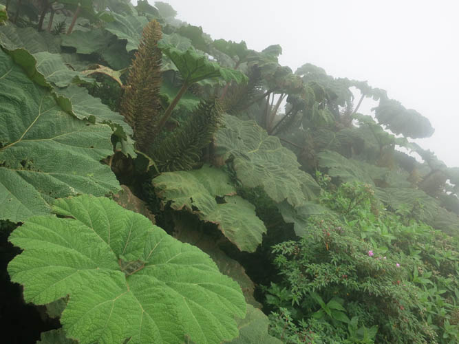
These huge leaves look like they are from a different planet.
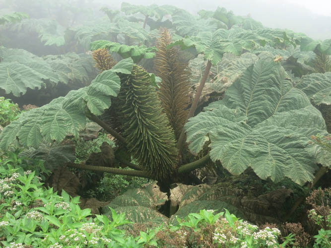
This unique flora appears to be thriving here because of constant cloud cover and perhaps also because of the heat generated by the volcano.
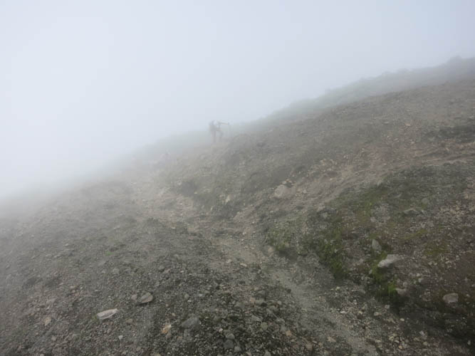
The last few metres are on barren grey mud before you reach the edge of the crater.
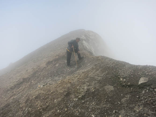
Our guide Silvio peeking over the edge.
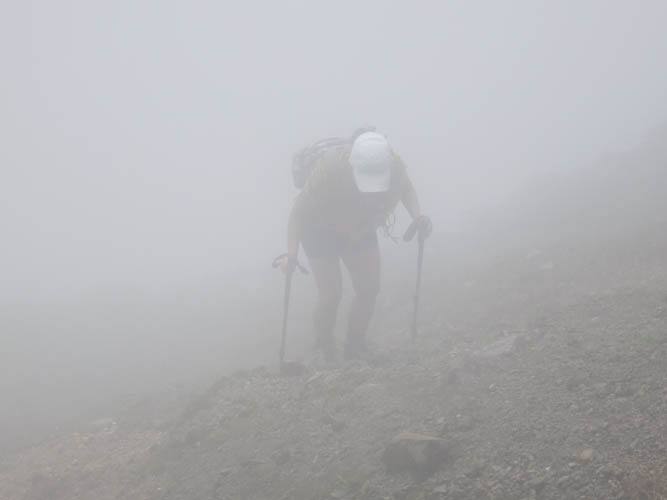
Wen is a few metres behind me and almost invisible in the dense mist.
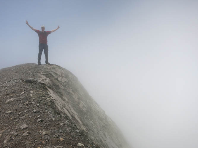
At the summit!

Yellow sulphur-bearing compounds have formed on the mud in places. They are precipitated from sulphurous fumes released from inside the crater.
The sun finally comes out as we descend.
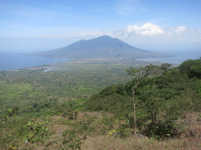
View of the isthmus and neighboring Volcán Maderas.