Crowsnest, Canada
12 May 2019
With Trevor & Richard
Great off-season hiking
After a nearly two-year break from Calgary I finally got to hike with Trevor and Richard again. Since there was still quite a bit of snow at higher elevations with highly variable and often unstable avalanche conditions, we picked something safe and small in the front ranges. It was mother’s day today, so what better peak to choose than Ma Butte!
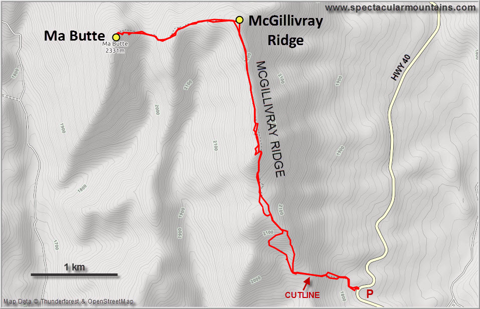
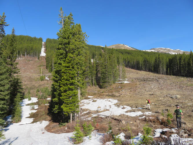
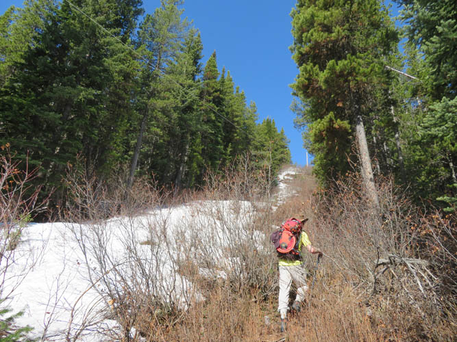
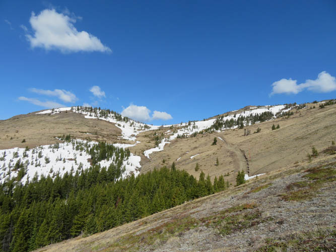
There are several different ways to approach this little front range peak near Coleman, but the most popular seems to be via the long north-south trending McGillivray Ridge and a cutline connecting to highway 40. Deep patches of soft snow were still lingering on the cutline, resulting in the only nuisance of the day: some annoying bushwhacking through dense alders along its side. It was short-lived, however, and soon forgotten as we emerged onto the open grassy slopes of McGillivray Ridge.
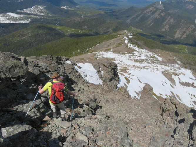
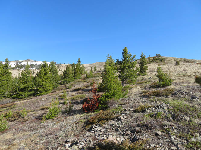
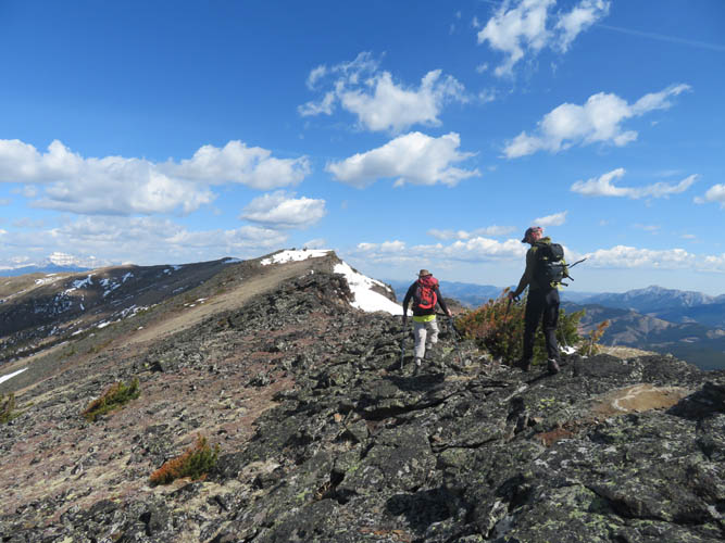
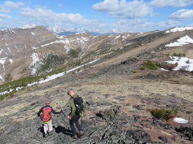
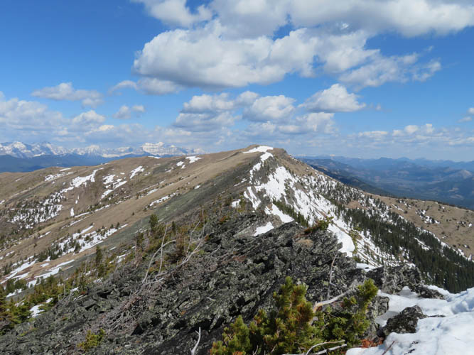
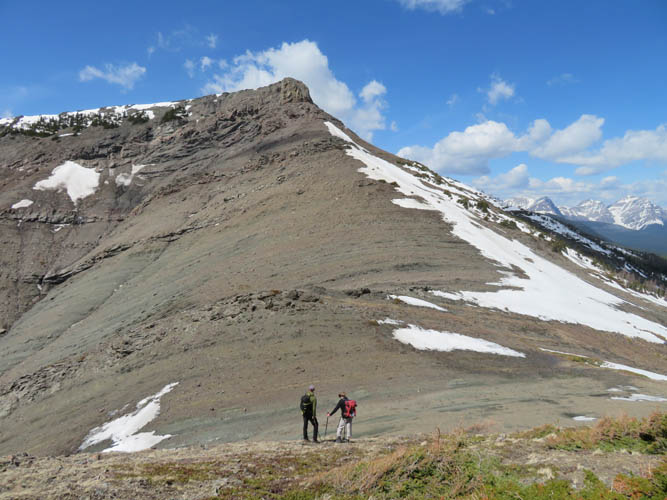
Once on top of the ridge we followed a small trail on the east side for a short distance before climbing up to the ridge crest due to too much snow on the trail. Arrow-straight McGillivray Ridge extends almost exactly from south to north and is pretty long – it took us more time than expected to reach the high point on the northern end. Tilted blocks of lichen-covered sandstone and conglomerate slowed us down but the hiking was quite pleasant and interesting.
Not having hiked together in almost two years had the advantage that we had no shortage of topics to discuss and our conversation never seemed to run dry. Chatting away as we hiked along, we hardly noticed the ups and downs on the traverse between McGillivray Ridge’s highpoint and Ma Butte – there is in fact a significant dip between these two peaks. (We certainly noticed all the elevation we had to re-gain on our return, however!).
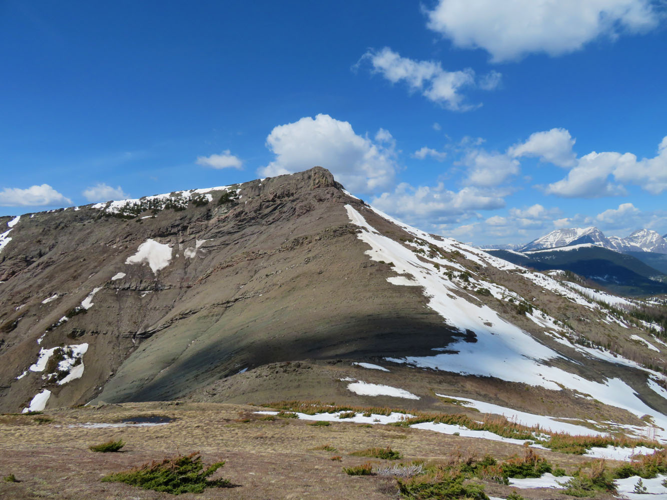
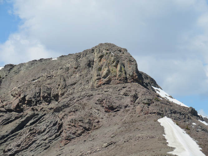
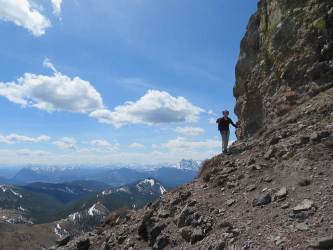
Contrary to what I had associated with the words “Ma Butte” before, this little peak is actually quite handsome (or should I say pretty?) and a lot more rocky and less grassy than I had anticipated. The east face of the summit tower consists of steep cliffs that offer opportunities for a bit of scrambling as does the last stretch just below the summit cairn, a rubbly gully on the peak’s north side.
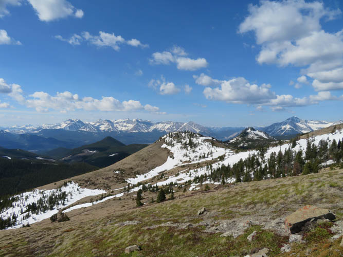
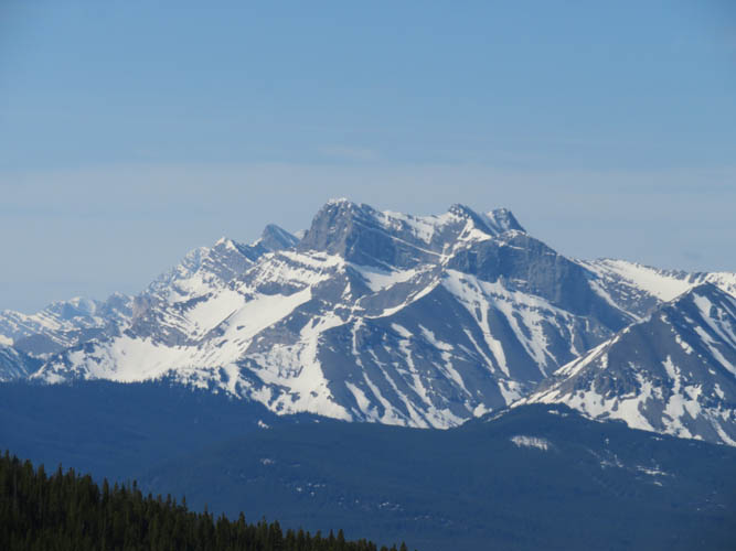
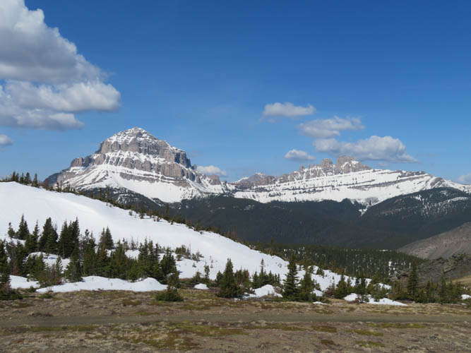
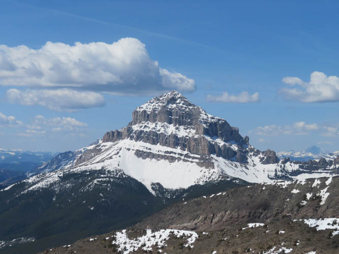
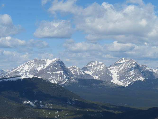
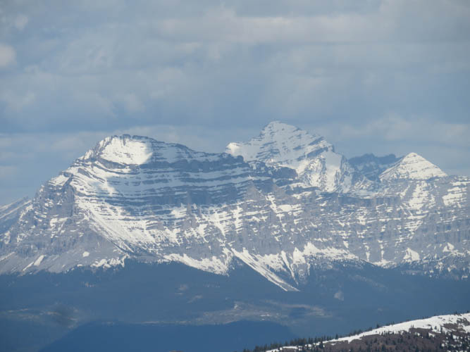
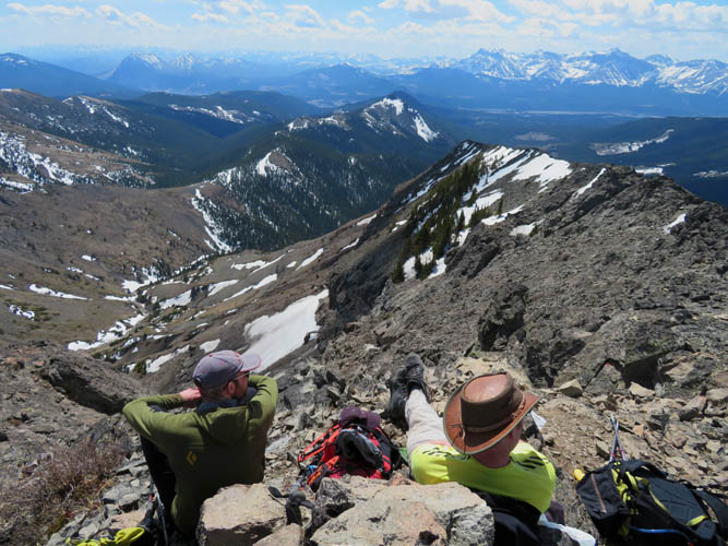
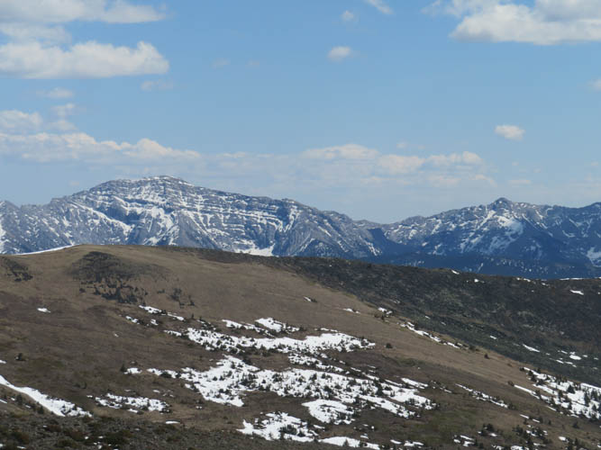
We all thoroughly enjoyed the views from the 2287 m summit of Ma Butte on this beautiful sunny and relatively calm day, admiring Crowsnest classics such as the Seven Sisters, Crowsnest Mountain and Turtle Mountain as we had our lunch at the top.
For the return we followed the same route back, which was the easiest and probably most convenient option. One could descend down the east ridge from McGillivray’s summit, but that would then necessitate a boring walk back to the car along highway 40. During the whole day we only ran into two other parties despite this being a Sunday with prime conditions in the area. The long drive from Calgary probably keeps the crowds at bay, something we certainly didn’t mind. A fabulous hike with wonderful company!
|
Elevation: |
Ma Butte: 2360 m (my GPS) |
|
|
McGillivray Ridge: 2352 m (my GPS) |
|
Elevation gain: |
1150 m |
|
Time: |
6.5 h |
|
Distance: |
12.8 km |
|
Difficulty level: |
Easy (Kane), T3 (SAC) |
|
Reference: |
Bob Spirko |
|
Personal rating: |
3 (out of 5) |
NOTE: This GPX track is for personal use only. Commercial use/re-use or publication of this track on printed or digital media including but not limited to platforms, apps and websites such as AllTrails, Gaia, and OSM, requires written permission.
DISCLAIMER: Use at your own risk for general guidance only! Do not follow this GPX track blindly but use your own judgement in assessing terrain and choosing the safest route. Please read the full disclaimer here.

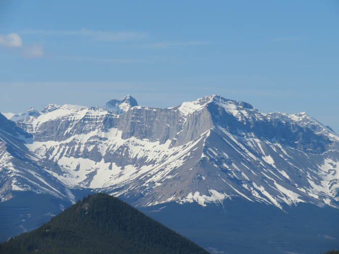

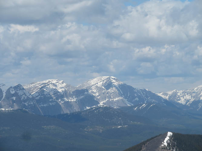
the Livingstone Range.