Anatolia, Turkey
13 October 2018
With Wen
A pleasant hike to a barren peak overlooking Tortum Lake
Most mountains in Turkey, it seems, are fairly easy to climb, especially if compared to the more rocky and jagged peaks of the Alps, the Caucasus and the Rockies. In Turkey’s mountainous regions, the terrain tends to be more gentle, with rounded shoulders and ridges leading up to its summits; on some peaks you can even drive part way up on dirt roads.
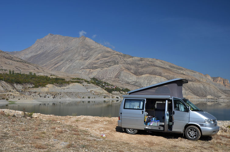
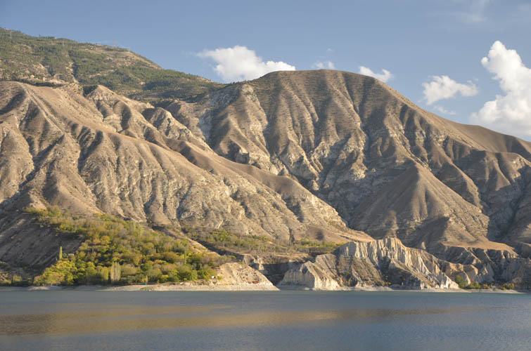
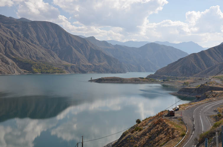
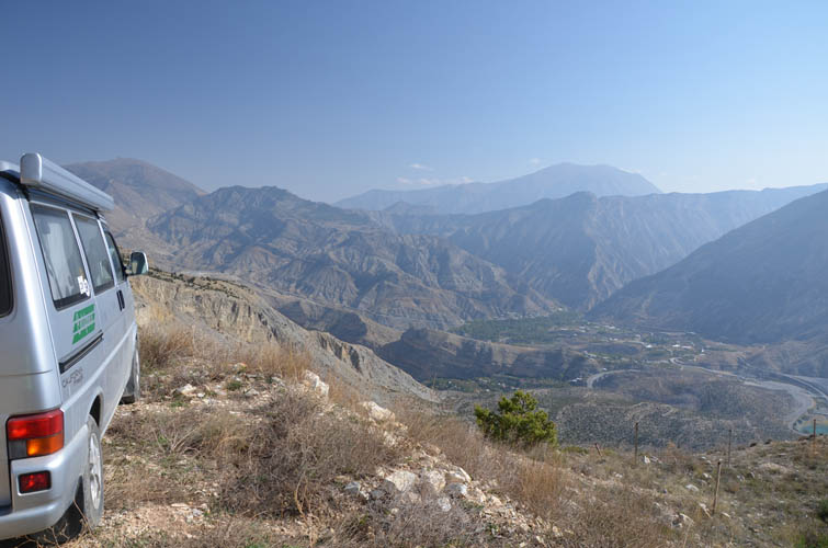
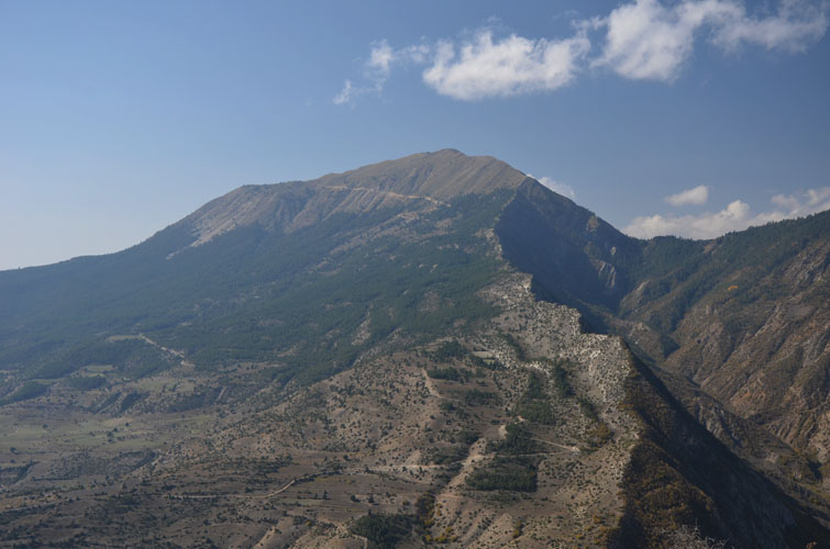
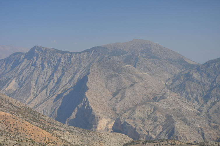
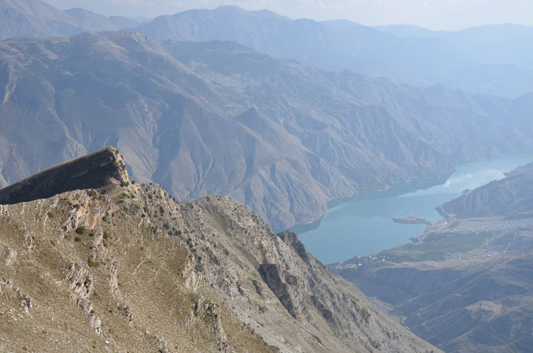
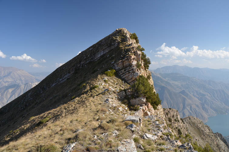
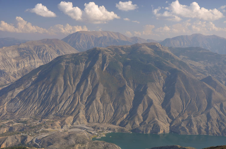
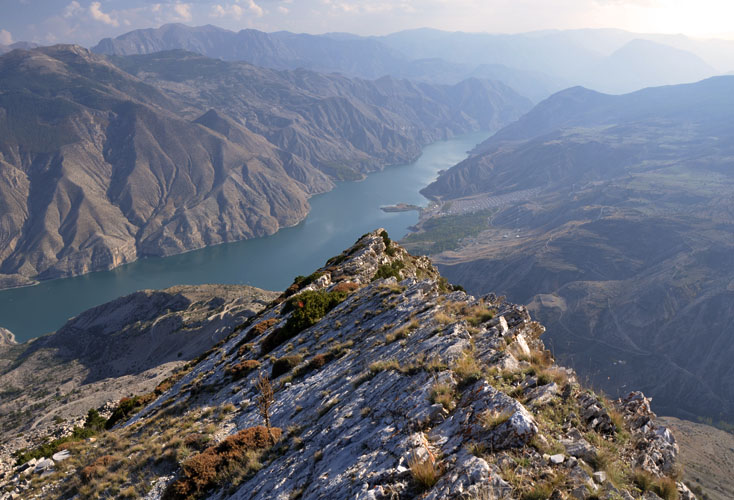
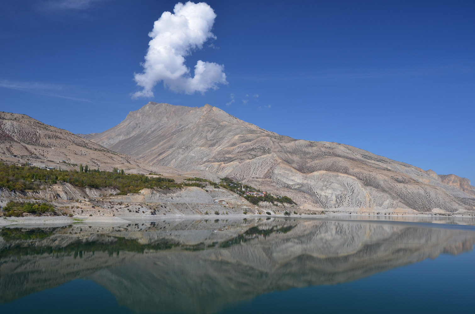
Kemerli Tepe in Eastern Turkey’s Anatolia region is no exception. We were on our way from Georgia to Lake Van when we stopped by Tortum Gölü, a beautiful lake in the middle of the mountains to rest for the night. A quiet spot on a small peninsula only inhabited by a friendly pack of dogs made for the perfect camp site for our van – wonderful views and all for free! Gazing at the barren mountains around us in the evening, one particular peak caught my eye: Kemerli Tepe, at 2760 m the highest in the vicinity. With its beautiful east ridge rising straight up from the lake and the sheer cliffs on the ridge’s south side, it was just asking to be climbed. We couldn’t find any info on the peak online, so we asked a few locals in the nearby village of Ulubağ. Yes, it can be hiked and no, there is no trail. Sounds just like the kind of trip I like!
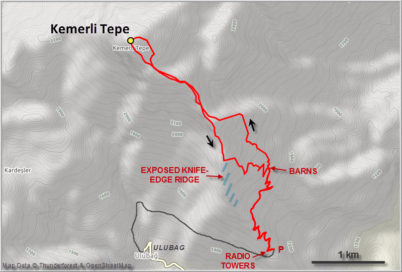
While you could easily hike up all the way from the lake near the main road, this would add at least 600 m of elevation gain on off-trail terrain. We didn’t feel like having a very long day, so we decided to drive up to the two antenna masts that can be seen from below. An asphalt road goes up to Ulubağ village, from where a steep dirt road winds its way up to the two antennae that sit right on the ridge crest at 1620 m elevation. This is a good place to park and begin the hike.
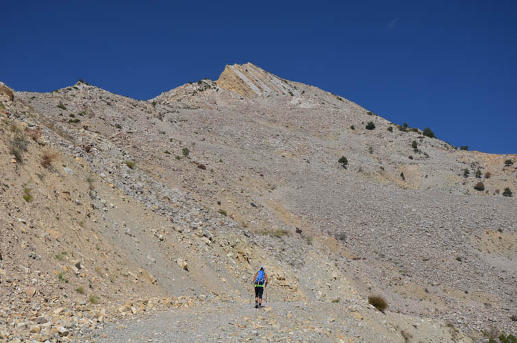
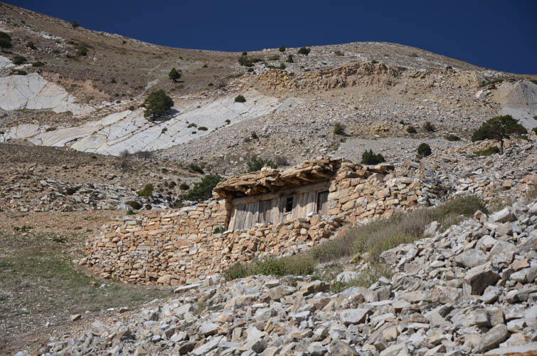
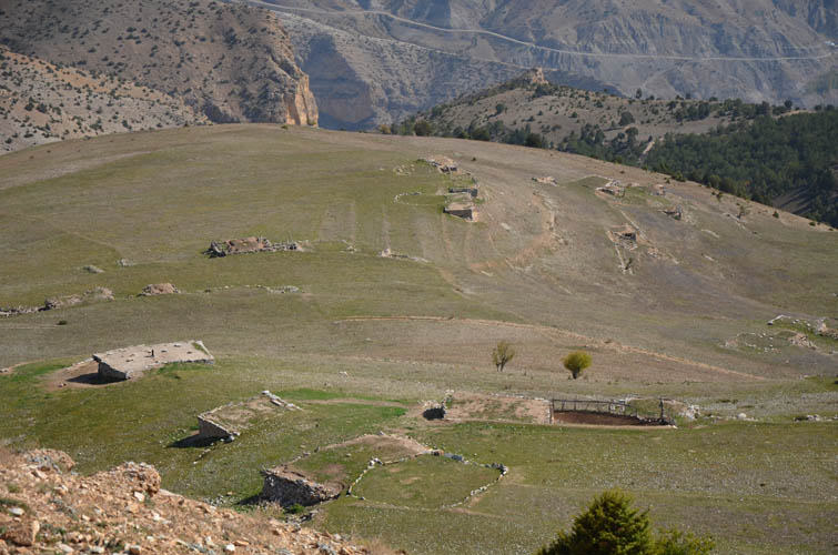
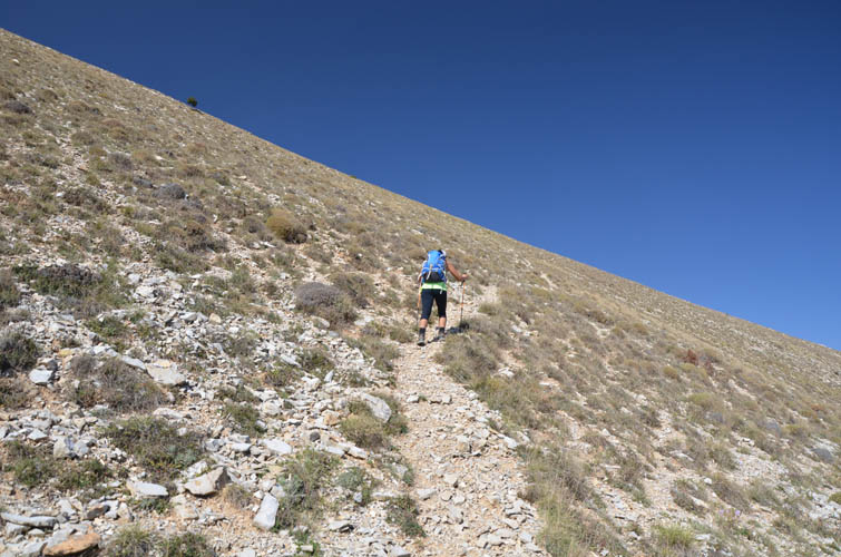
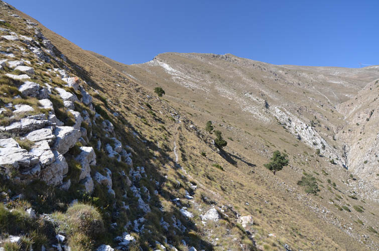
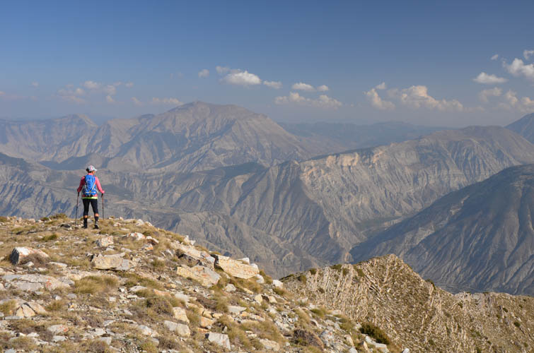
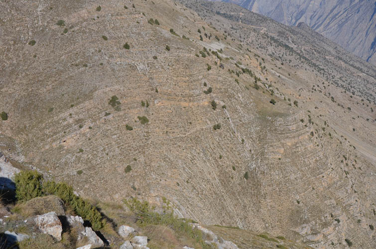
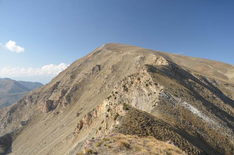
The sun was already beating down hard despite this being mid-October, and we were glad to have a track to follow at the beginning. It’s an old farmer’s road that leads up to a collection of barns built into the hillside. It avoids the initial part of the ridge top with its steeply slanted slabs and craggy, knife-edge crest. From the barns we followed some of the numerous animal trails that criss-cross the grassy slopes and simply headed uphill, roughly aiming for the upper part of the ridge. There are lots of route options and the fact that the terrain is gentle and open (no trees up here!) makes it impossible to get lost.
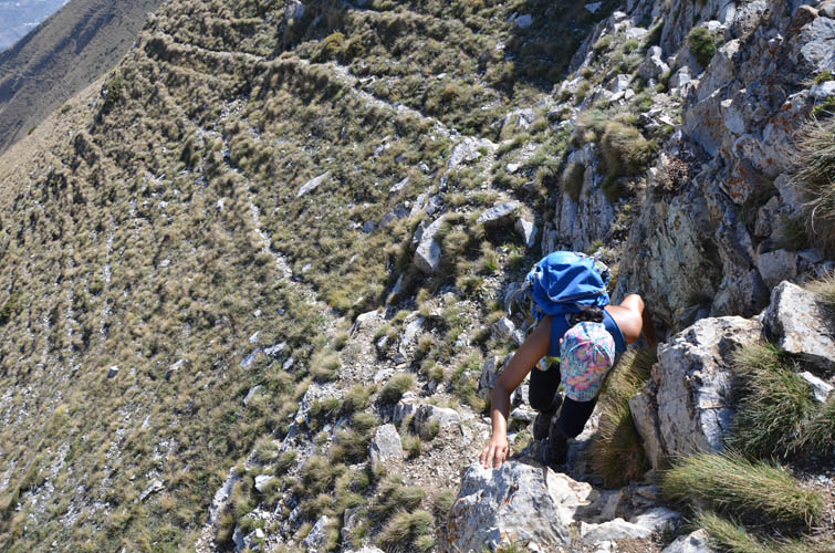
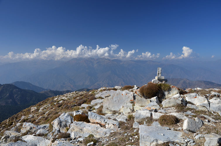
Having regained the ridge crest, it was a simple walk up to the broad summit featuring a small, dilapidated cairn. It’s always interesting to “conquer” a mountain that looks imposing, perhaps even daunting from one side when you first look at it, but then turns out to be just a walk up on its other, tamer side. Even though, it still was a pretty strenuous hike, with one or two easy scrambles thrown in at a couple of short rock bands we had to overcome (both entirely avoidable if you simply go a bit lower).
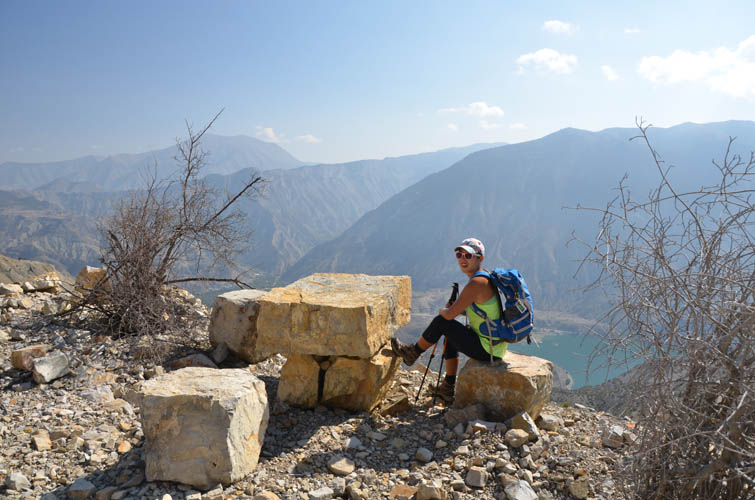
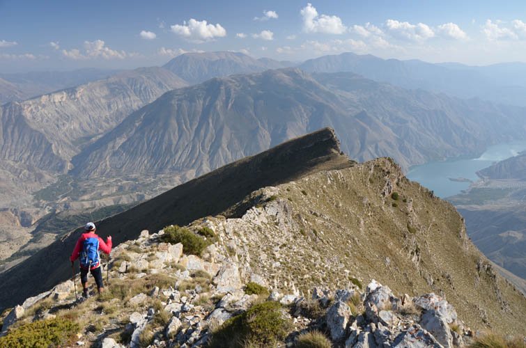
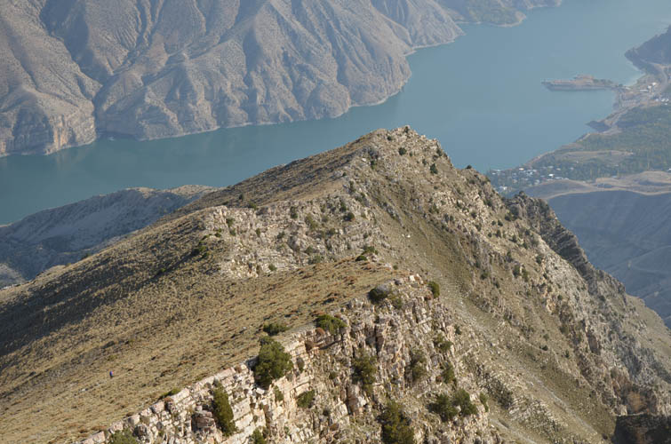
The best part of the day was hiking down along the ridge crest in full view of the lake below and the precipitous cliff directly to our right. There is no trail along the crest but it’s almost all pretty easy going until you get to the aforementioned steep slabs in the lower part. We bypassed these on the left (north) side via grassy slopes and scree to get back to the barns.
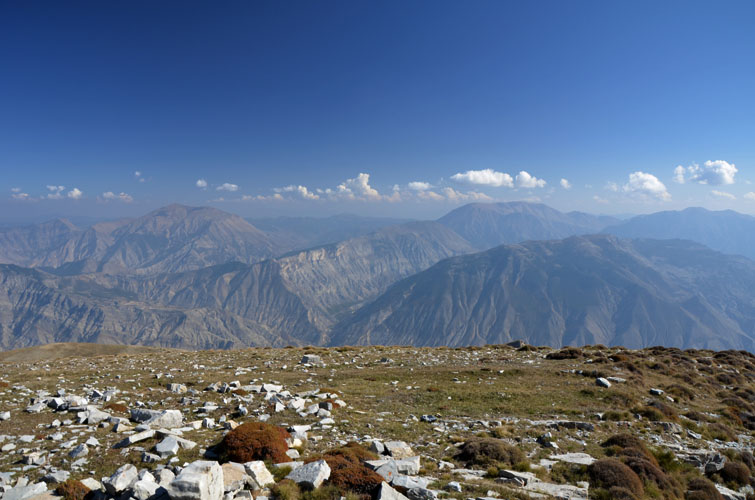
A very pleasant and short hike in the barren mountains of Anatolia.
| Elevation: | 2763 m (my GPS) |
| Elevation gain: | 1200 m |
| Time: | 6 h |
| Distance: | 12.0 km |
| Difficulty level: | Easy (Kane), T3 (SAC) |
| Reference: | No route information was available to us prior to trip |
| Personal rating: | 3 (out of 5) |
DISCLAIMER: Use at your own risk for general guidance only! Do not follow this GPX track blindly but use your own judgement in assessing terrain and choosing the safest route.