Svaneti, Georgia (Caucasus)
28 September 2018
With Wen
An easy, uncrowded hike on Mestia’s doorstep
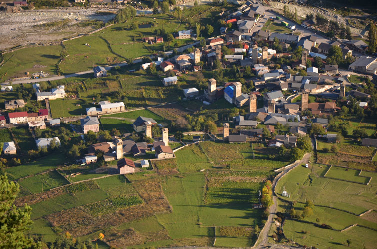
This is an easy but long hike straight from the town of Mestia in the heart of Georgia’s Svaneti region. On a clear day the views are nothing short of breathtaking!
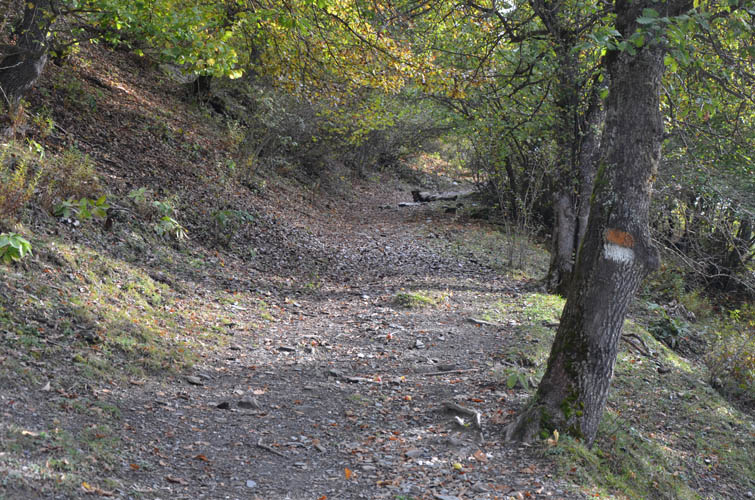
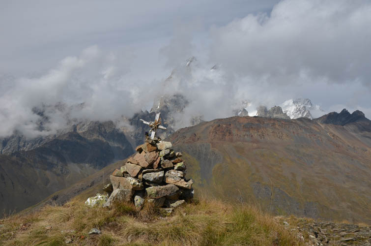
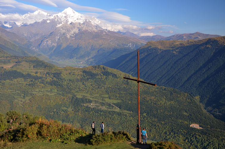
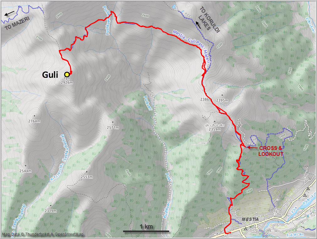
We followed the intermittently marked (yellow-white paint markers) hiking trail from Mestia centre to the big Cross overlooking the town. Both of us were a bit surprised by how steep the trail was – it’s a relentless slog through forest with almost no views until you reach the cross at the beginning of a long ridge. To our surprise, we ran into our Australian friend Sean from the hostel just before reaching the Cross. He was heading to Koruldi Lakes along the same route, so we ended up hiking together for the next hour, completely forgetting about the monotony of the forest trail as we exchanged travel stories and shared many laughs (Sean is that type of guy that makes every conversation flow and an intrepid traveller you just want to talk to!).
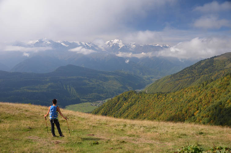
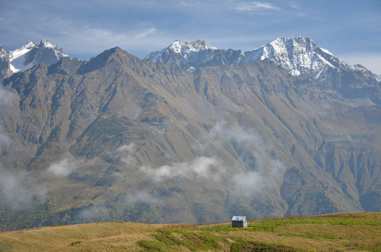
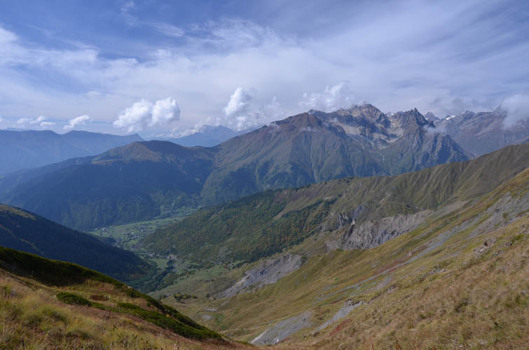
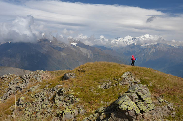
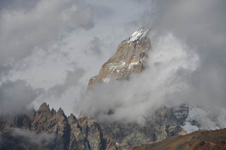
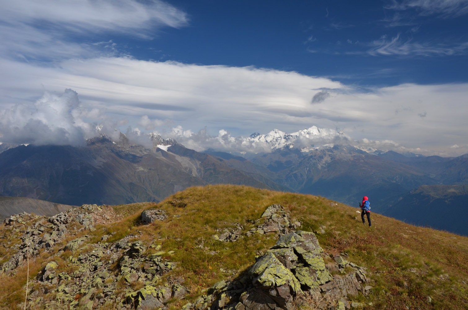
After leaving behind the forest and topping out on the open ridge, an absolutely beautiful landscape unfolded in front of us. I couldn’t stop taking pictures of the mighty peaks that suddenly appeared on the horizon, including Latraldashi and Banguriani to the NE, and the majestic twin peaks of Ushba to the north. With sunny skies and crystal-clear air, these big mountains now seemed so close you almost felt you could touch them.
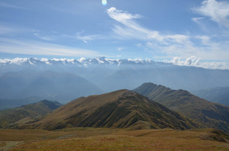
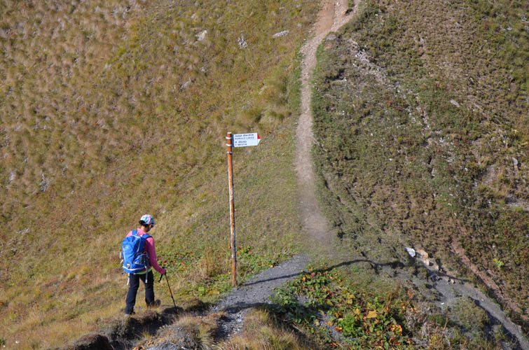
The trail up the ridge soon merges with a dirt road, where we met a few other hikers. And yes, there were even cars going up here. The road leads to Koruldi Lakes, a popular day-trip from Mestia for the colourful mix of international tourists that make it out here to Svaneti.
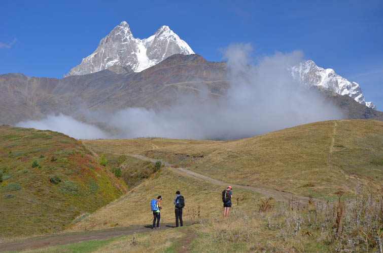
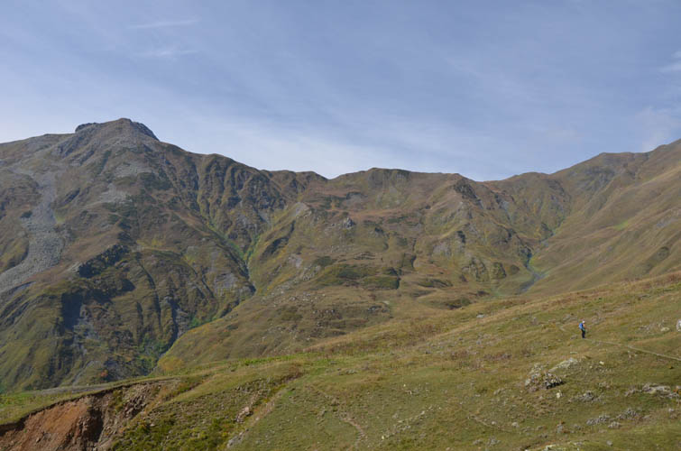
While everybody including our friend Sean was heading up the ridge to visit the lakes situated at about 2700 m, we turned left (signposted) and continued on a good trail that contours around the wide open hillside, only gaining elevation near the end to reach Guli Pass. We met a couple of groups along the way that were doing the Mazeri-Mestia trek, another favourite day-trip for backpackers in the area.
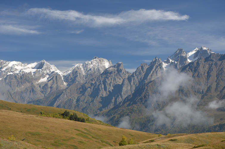
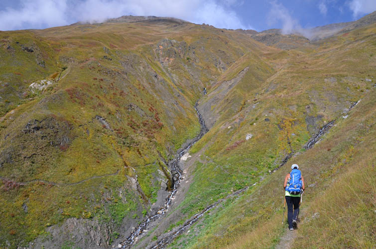
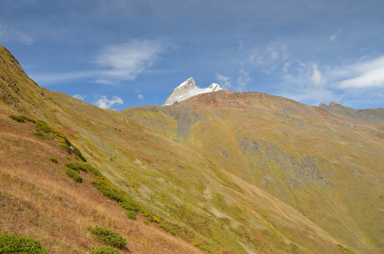
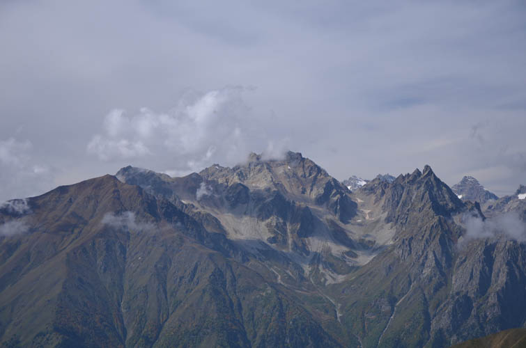
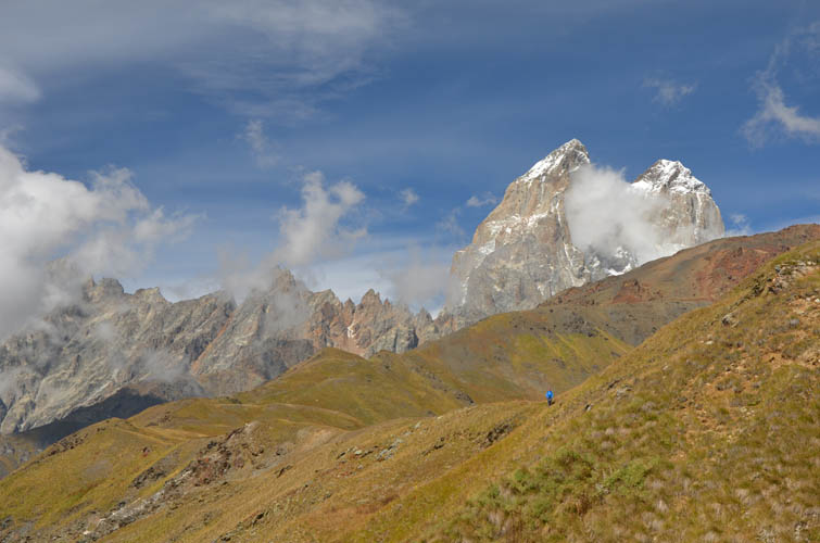
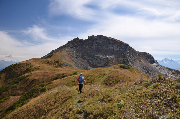
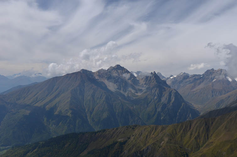
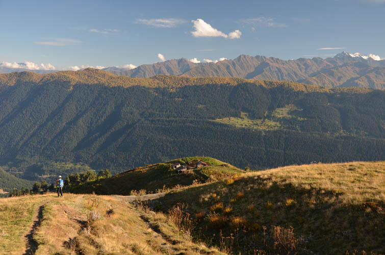
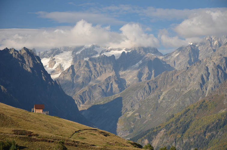
After a nice lunch break at the pass with terrific views over the Becho valley and Ushba to the north, we took the faint trail that leads south to Guli’s summit. There was one short steepish bit with loose rubble to get to the summit area, the rest was just an easy walk across grass. The views from the summit were obviously even better than from the pass with 360 degree panoramic views all around us. The long Bakhildi and Bechashi Ranges to the south, with massive Mount Layla at the centre, were particularly imposing.
Although there appear to be several other routes to get from Guli back to Mestia according to some local maps I’ve seen, we didn’t want to risk any experiments with potentially old/abandoned trails (such as the trail off Mount Detsili a few days earlier) and simply headed back exactly the same way we had come up.
| Elevation: | 2750 m (official), 2751 m (my GPS) |
| Elevation gain: | 1550 m |
| Time: | 7.5 h |
| Distance: | 16.2 km |
| Difficulty level: | Easy (Kane), T2 (SAC) |
| Reference: | Local maps |
| Personal rating: | 4 (out of 5) |
DISCLAIMER: Use at your own risk for general guidance only! Do not follow this GPX track blindly but use your own judgement in assessing terrain and choosing the safest route. Please read the full disclaimer here.