Kananaskis, AB, Canada
6 December 2020
Solo
Uncrowded and unexciting
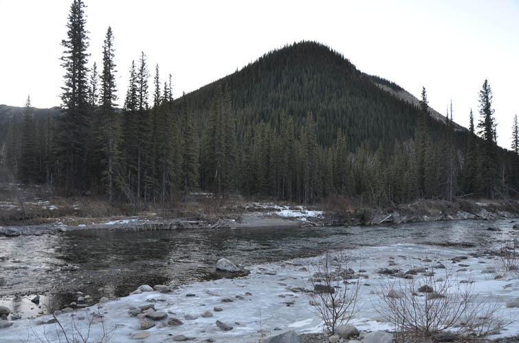
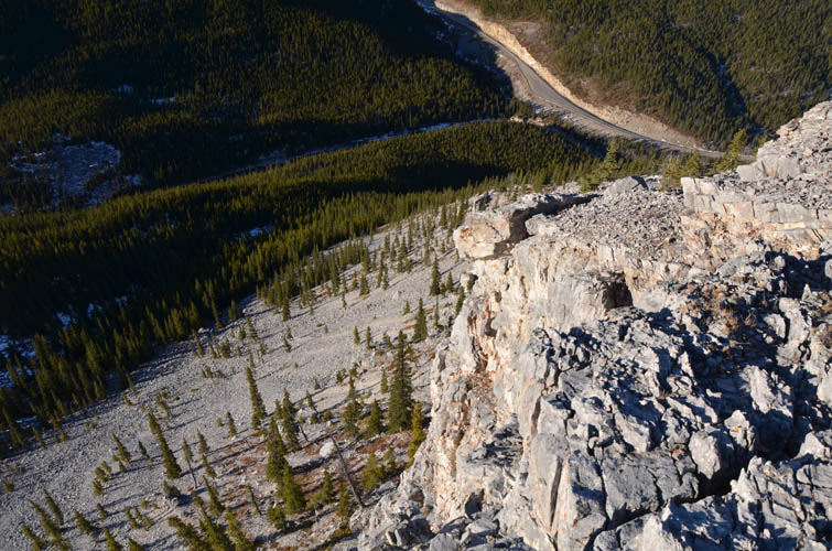
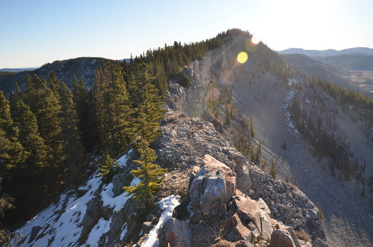
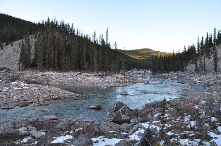
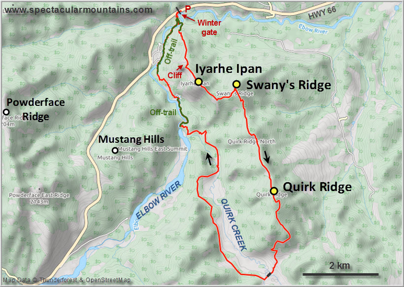
With its conspicuous vertical cliff band and huge talus slope below, Iyarhe Ipan (meaning “mountain point” in the Stoney language) looks like an intriguing little peak that might hold more surprises in store, especially compared to neighboring Prairie Mountain. However, this is not the case – it’s merely another small forested bump, except it has a steep drop-off on the western side offering decent views of the Front Ranges. It also sees way less traffic than the super popular Prairie workout mountain, which is no surprise: you have to ford the Elbow River first to get to the other side and then there isn’t really a well-established trail to guide you to the top.
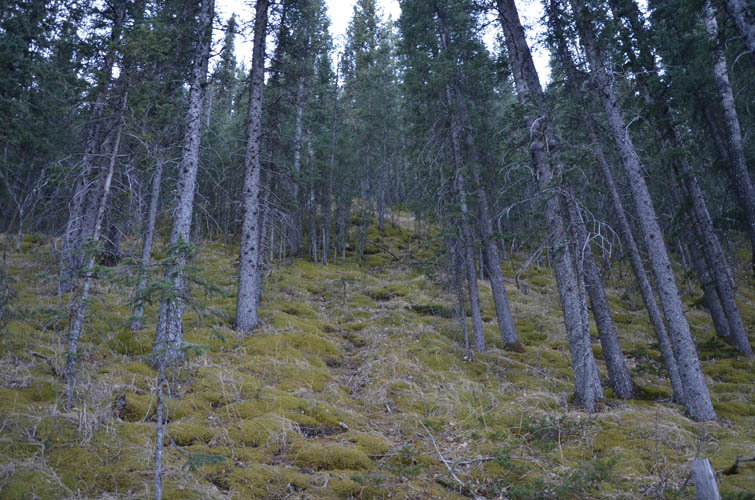
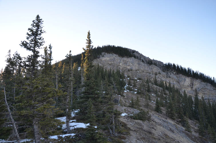
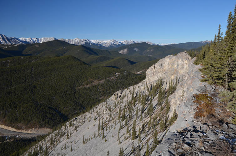
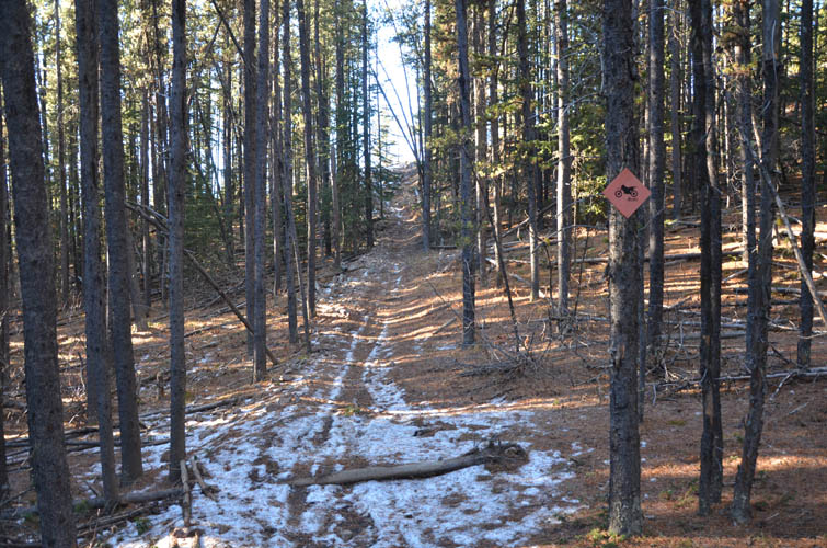
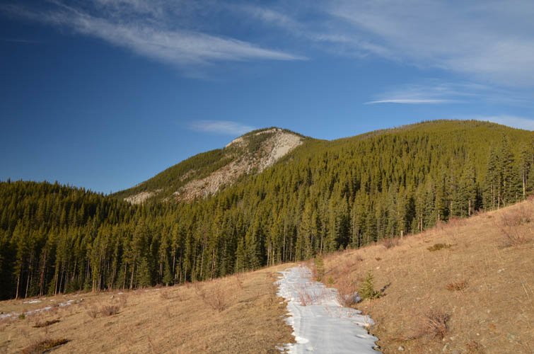
The first section is a steep ascent through mossy forest, but thankfully the bushwhacking is minimal. I aimed slightly right and ended up on a very faint trail that goes up the crest of the ridge toward the huge cliff bland that defines the mountain’s NW side. A flagged section of trail goes around the left of the cliff in the trees – no scrambling required. Unusually for December, I had almost no snow today but I can imagine that in the middle of winter this section might be problematic if the snow is deep.
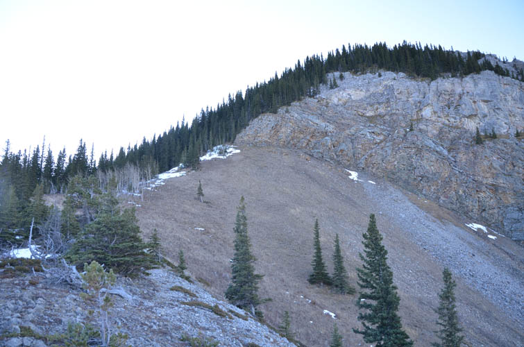
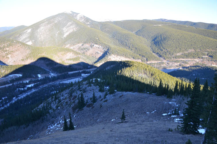
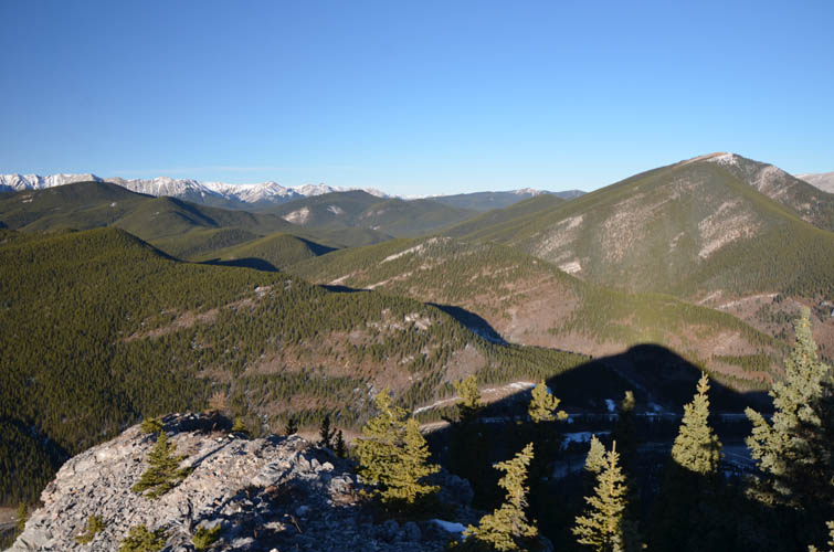
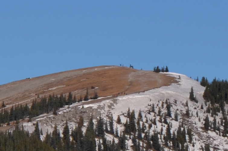
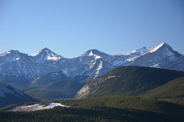
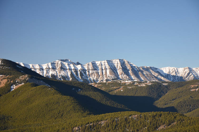
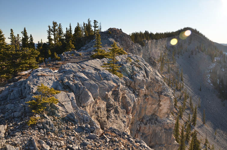
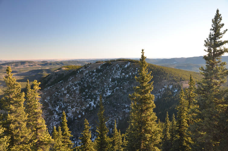
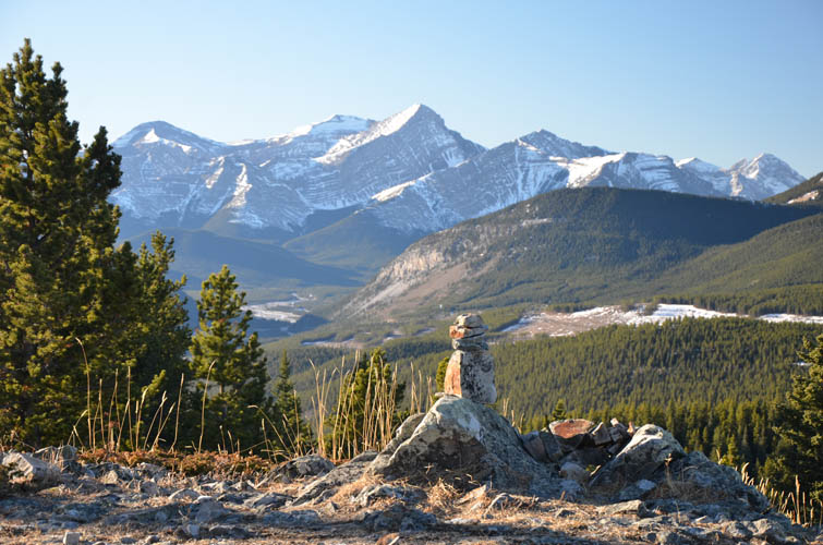
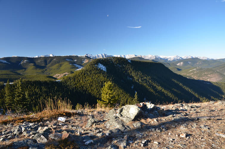
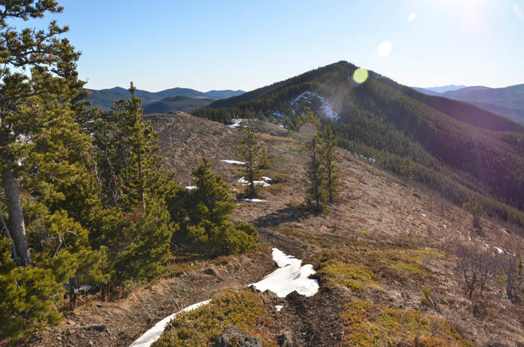
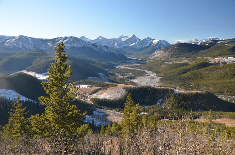
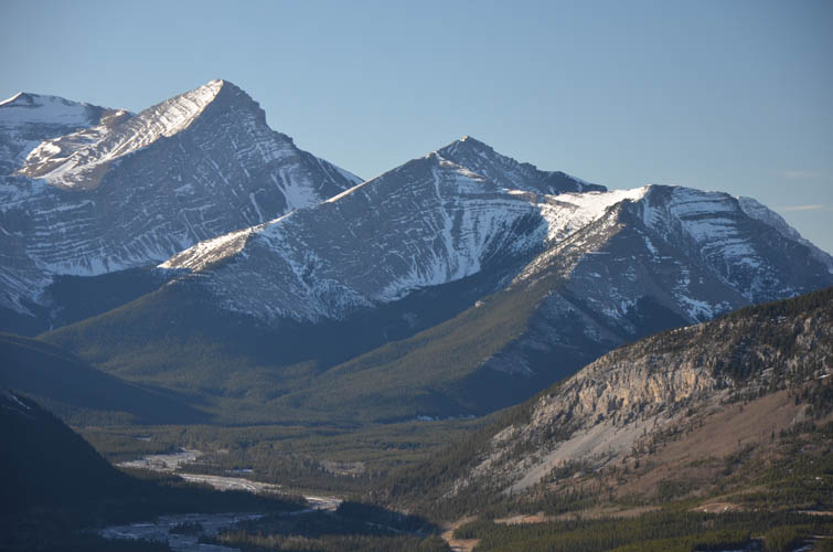
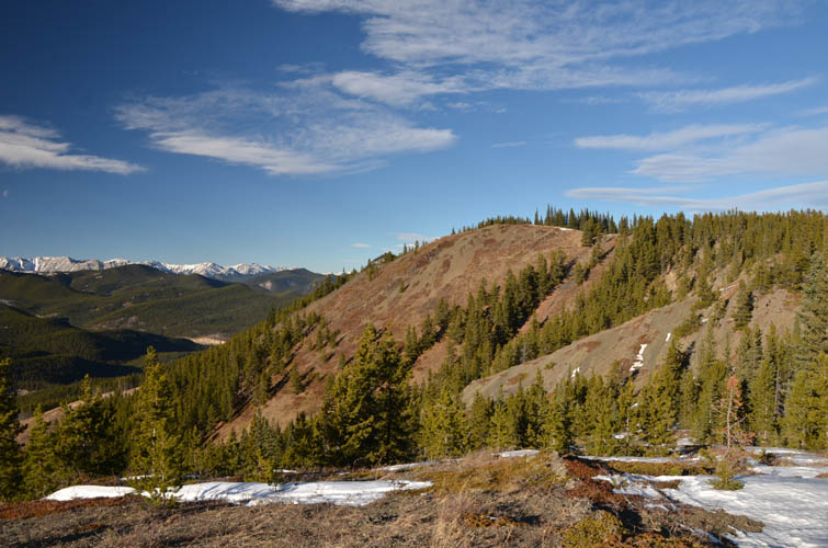
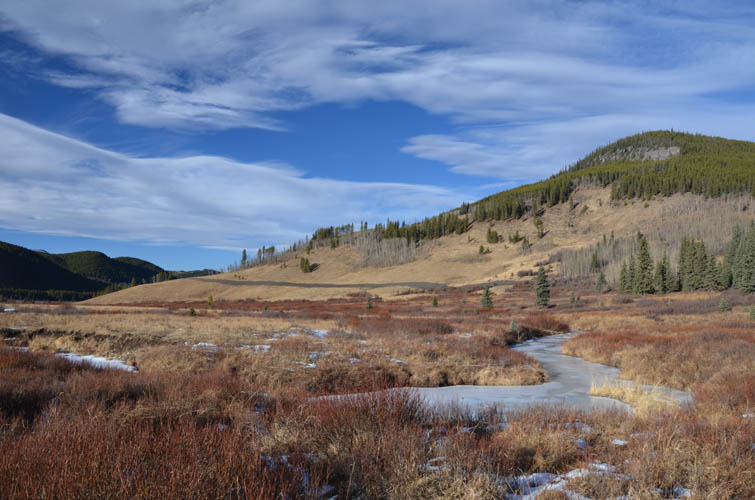
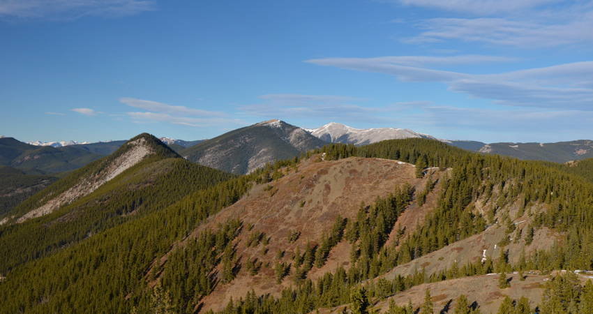
Shortly after I was at the ridge top enjoying sunny views of all the nearby foothills like Prairie Mountain, Vents Ridge, Mustang Hills, Powderface Ridge, flanked by bigger snow-capped peaks in the back. The ridge walk to the summit was nice, the trail switching between trees on the left and bare rock on the crest. The summit cairn is entirely surrounded by trees, but then again what can you expect from a peak that’s not even 2000 m in elevation!?
It took me about 1.5 hours to get to Iyarhe Ipan’s summit – a short trip and I somehow felt it wasn’t quite enough yet to justify the river crossing. My plan for extending the day was to do a loop taking in Swany’s Ridge and Quirk Ridge along the way.
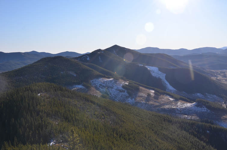
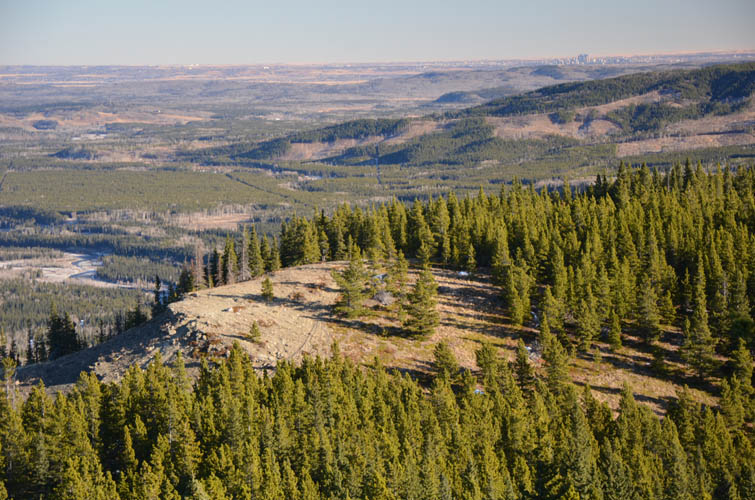
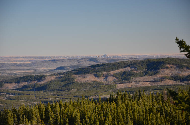
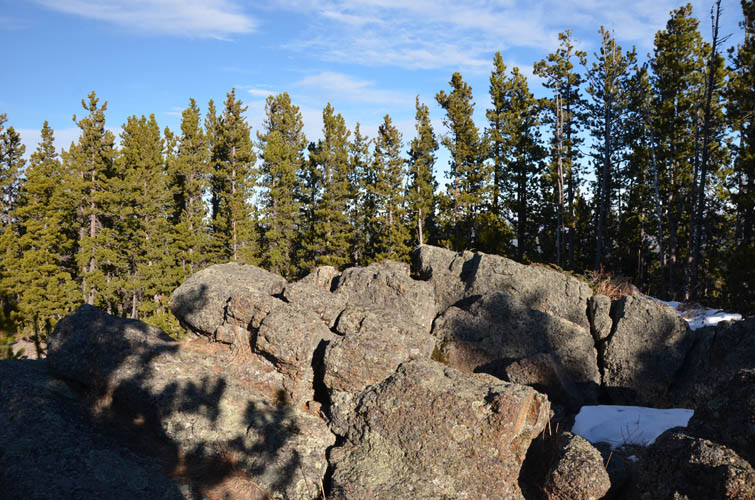
Swany’s Ridge is easily reached from Iyarhe Ipan by continuing south along the ridge (faint trail, some deadfall), then making a sharp left (cairn, flagging) and heading through very light forest and open meadows up to this minor highpoint. The highrises of Calgary can be seen quite nicely from here and I was pleasantly surprised by how clear the view of the city was. Swany’s Ridge appears to be the realm of dirt bikers and ATVers as evidenced by the tire-rutted tracks and the odd discarded beer can. An official dirt bike trail continues south to the top of Quirk Ridge, where it turns into a wider ATV track. A small outcrop of craggy conglomerate forms the summit, a nice spot to sit and take a break. Some people clearly like this area for camping, too.
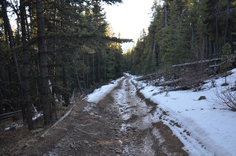
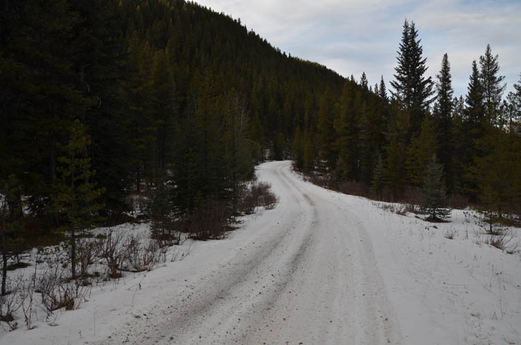
From the top of Quirk Ridge I followed the boring ATV road down into the valley to the south. It was partially iced up and a pretty unpleasant affair. The track then crosses Quirk Creek over a bridge to the west side of this broad grassy valley, where it intersects an even bigger ATV road running north-south. As soon as I started hiking north on this road I regretted my decision. Not that there was a lot of traffic (I only saw two ATV’s the whole day), but it was all in the trees and simply a boring walk. What I should’ve done instead was stick to a faint trail that I could now spot on the other side of the valley, right on the lower sun-bathed slopes of Quick Ridge. There seems to be a recently reclaimed logging road here with a narrow path running above or below it. Although it would eventually involve a creek crossing further north, this would without a doubt be a much more scenic route.
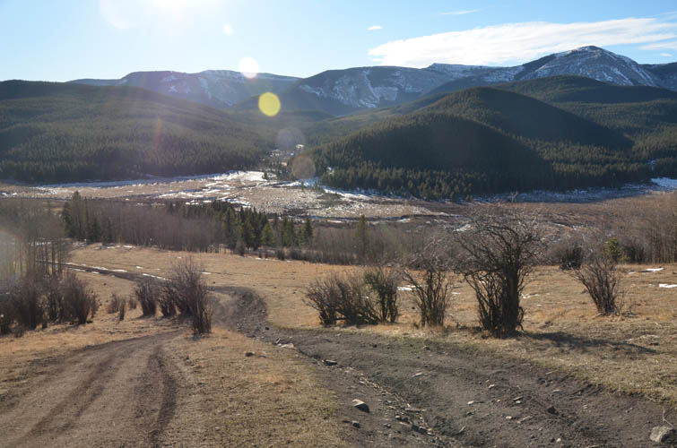
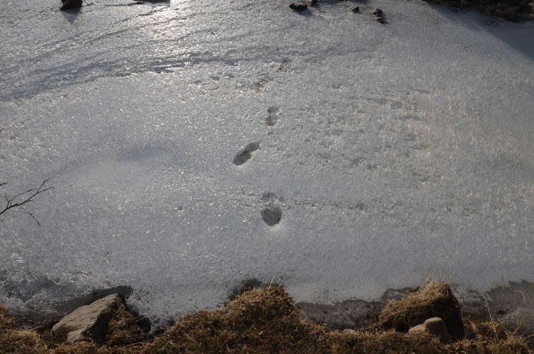
For me the most interesting part of the day was the very last section in the valley. After leaving the ATV trail I continued on a disused logging road and eventually reached its end in a large cutblock. Now all that was left between me and my car was a fairly long stretch of terrain unknown to me with nothing shown on my maps. This is a really interesting area, so close to the road yet it feels so remote and so pristine. I stumbled upon the odd trail, lost them again, then came across hunters camps, ended up along the banks of the Elbow River, then found another mysterious camp, and eventually landed on a faint trail marked by pink flags that took me to a fording point further west of where I had parked my car. I left the trail and continued NE through easy forest back to where I had stashed my old sneakers, which were by now all frozen and hard to put on again.
My loop route can probably only be recommended to those who don’t mind some off-trail hiking and lots of routefinding – chances are you will get lost in the terrain on the east side of the river, but I do think the area has a certain charm. The alternative would be to simply return the same way along the ridge top.
|
Elevation: |
Iyarhe Ipan: 1944 m (my GPS) |
|
|
Swany’s Ridge: 1917 m (my GPS) |
|
|
Quirk Ridge: 1983 m (my GPS) |
|
Elevation gain: |
1030 m |
|
Time: |
7.5 h |
|
Distance: |
20.9 km |
|
Difficulty level: |
Easy (Kane), T2 (SAC) |
|
Reference: |
Spirko and own routefinding |
|
Personal rating: |
2 (out of 5) |
NOTE: This GPX track is for personal use only. Commercial use/re-use or publication of this track on printed or digital media including but not limited to platforms, apps and websites such as AllTrails, Gaia, and OSM, requires written permission.
DISCLAIMER: Use at your own risk for general guidance only! Do not follow this GPX track blindly but use your own judgement in assessing terrain and choosing the safest route. Please read the full disclaimer here.