Kananaskis, AB, Canada
1 November 2020
Solo
A long and windy ridgewalk in the Front Ranges
Pasque Mountain is a great winter or shoulder season objective. Since access to Highway 940 south of the Mount Burke trailhead is closed from Dec 1st to May 15th, November is often a good time to venture into this area that doesn’t see a lot of visitors.
I was surprised how well my van with only all-season tires handled the ice and snow on the gravel road to the small parking where the main trail starts (this is also the starting point for Cummings Ridge). There was about 20 cm of snow around in the valley, but lucky for me a few other groups had broken the trail days earlier and there was one person ahead of me today. I guess it’s not as rarely visited as I thought after all.
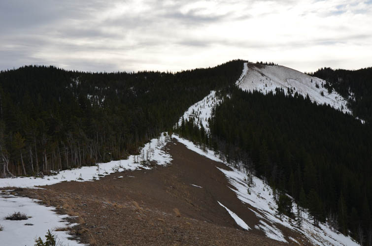
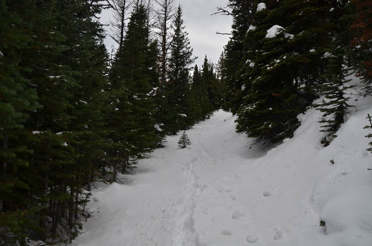
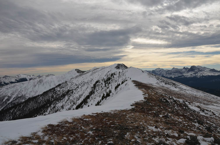
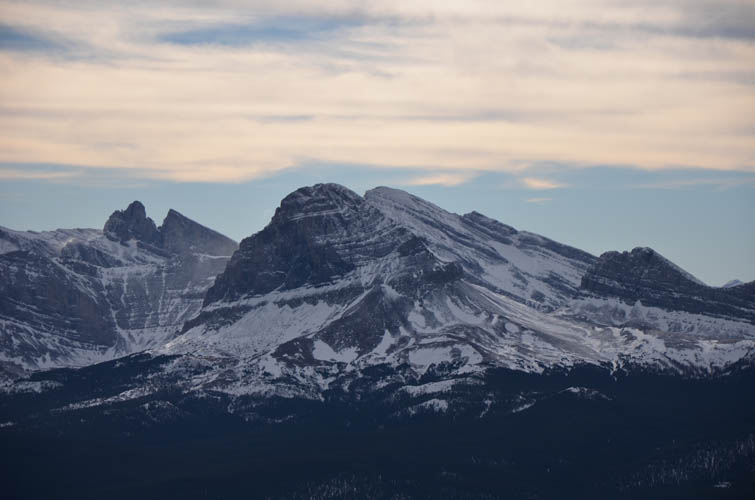
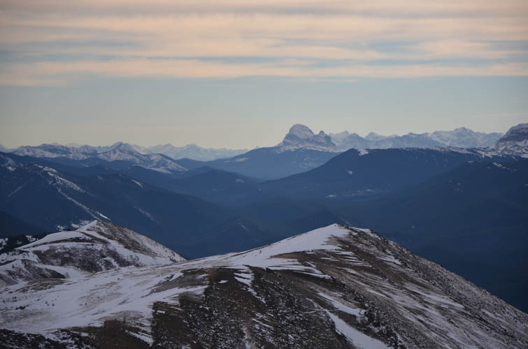
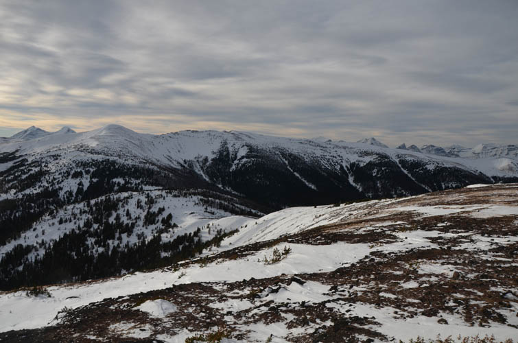
The approach along the flagged trail through the trees was quick and straightforward. In summer you probably have to watch out not to miss some of the turn-offs, but today it was easy as all I had to do was stomp along in someone else’s footsteps. Just before treeline I ran into the other hiker who had turned around before the ridge – the snow covering the ridge’s east side was too deep for his liking and the winds too strong. I took a short break, layered up, and braced myself for the elements. There was a surprising amount of snow that had accumulated just below the ridge crest but I found a good way through without too much postholing. As soon as I came out on the ridge top I felt a blast of wind pushing me back. It was like this for pretty much the rest of the day – walking like I was drunk getting whipped around by constantly changing wind gusts.
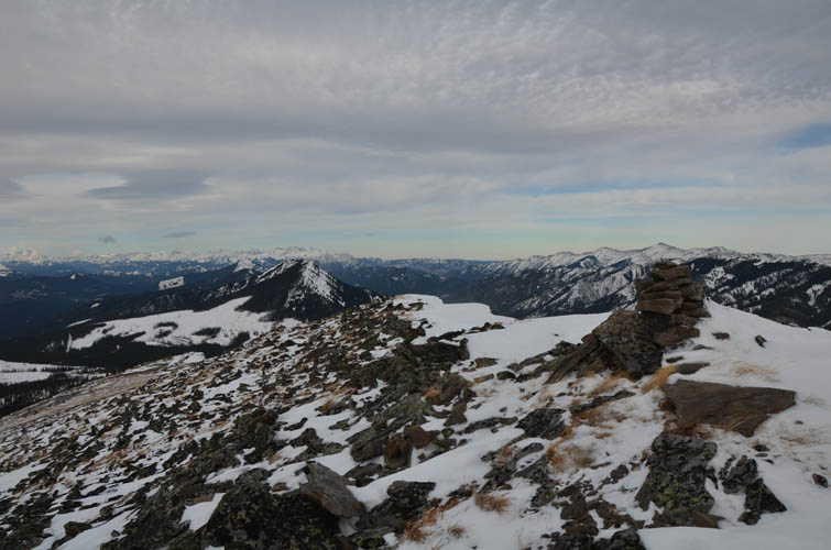
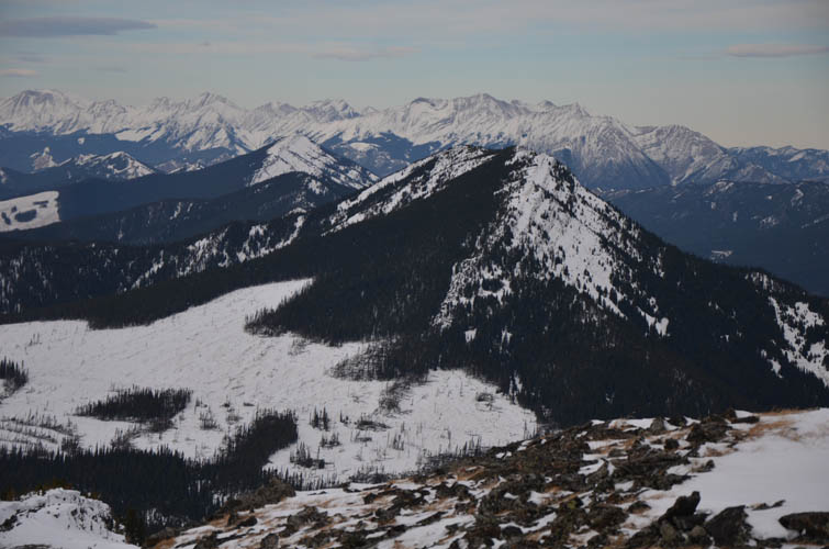
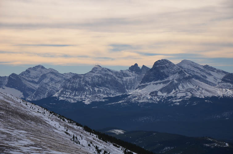
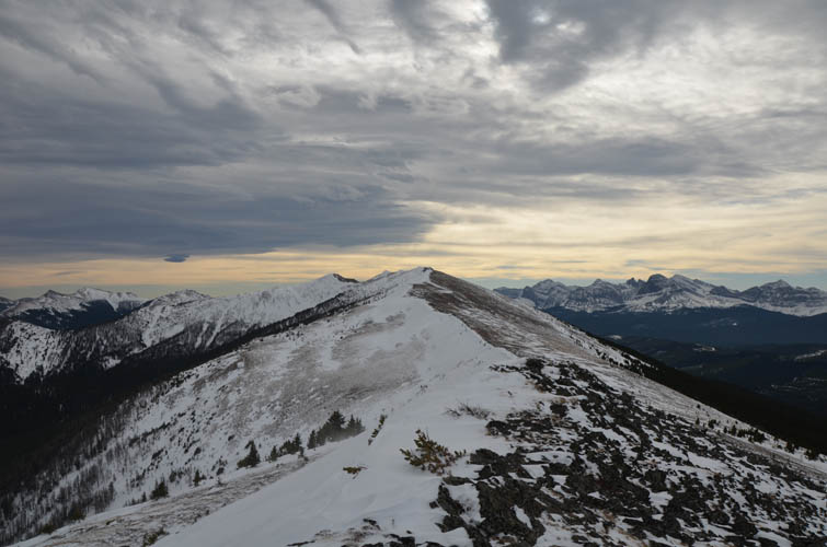
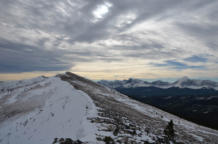
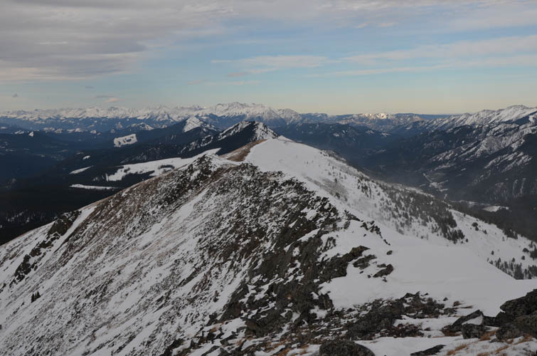
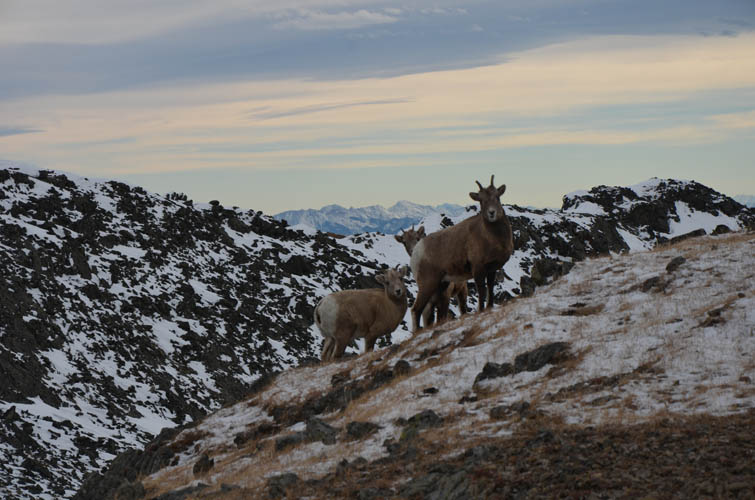
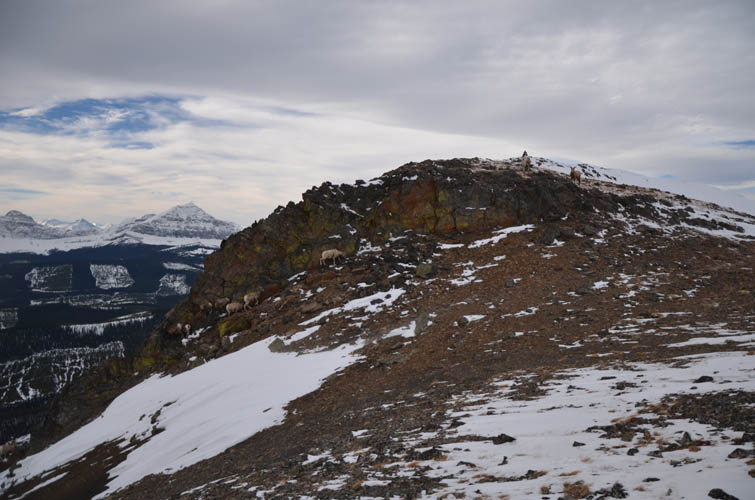
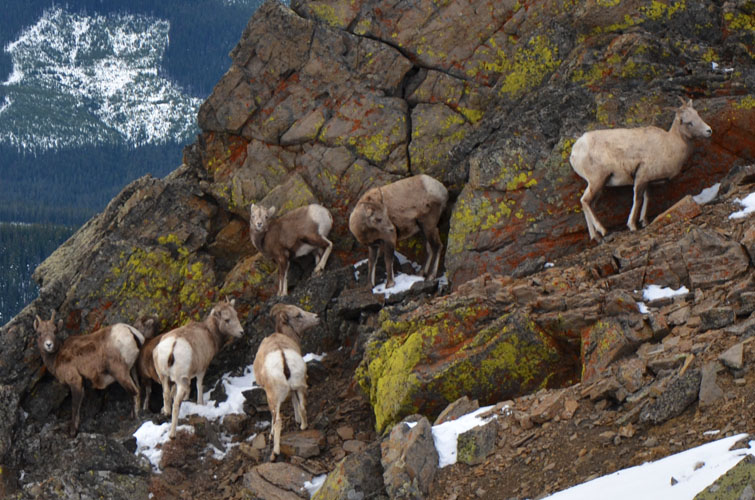
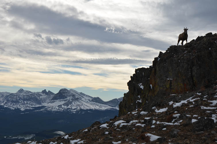
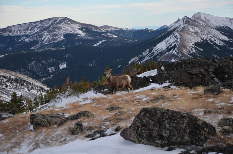
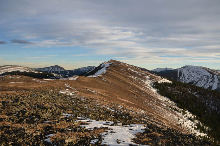
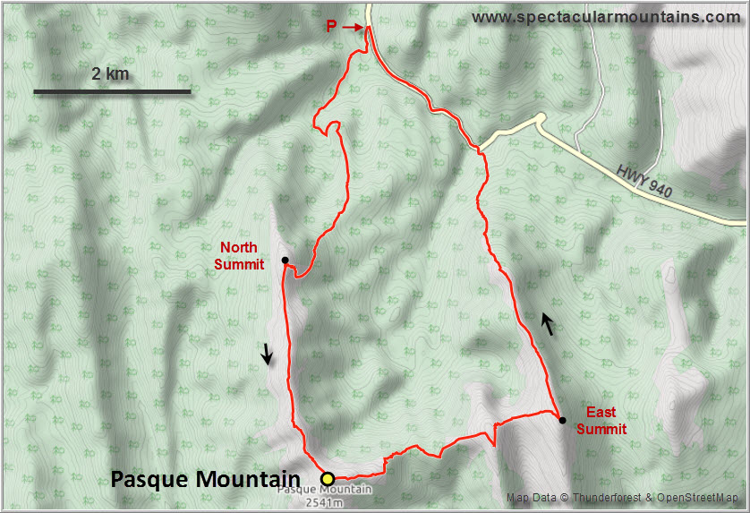
The north summit is only a short detour away, while the south and main summit is at the end of a long, arrow-straight ridge that’s a pleasure to hike (minus the wind of course). There was even a short section of easy scrambling with minor exposure near the end. This is where I unexpectedly came across a group of mountain goats huddling together in the lee of a rocky outcrop. They were reluctant to move away and into the wind, which gave me a nice opportunity to admire them up-close.
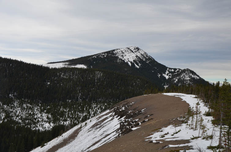
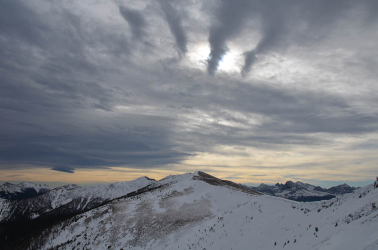
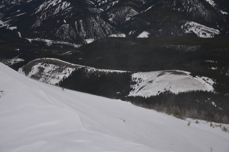
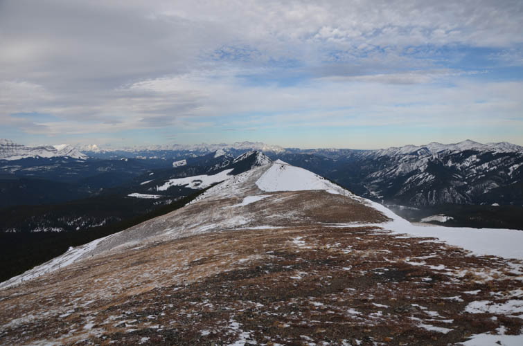
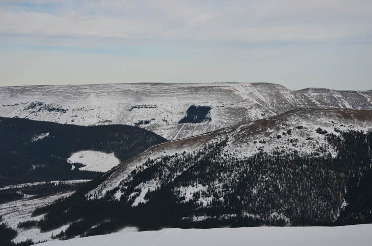
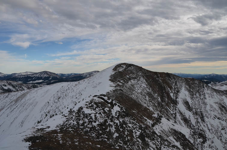
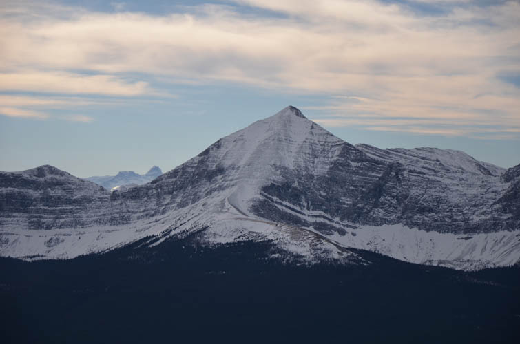
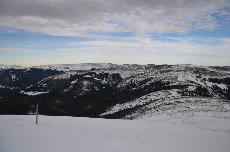
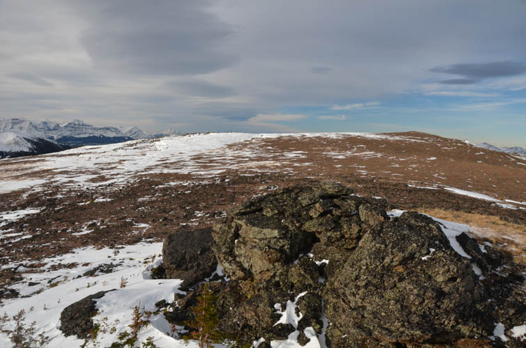
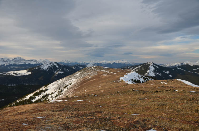
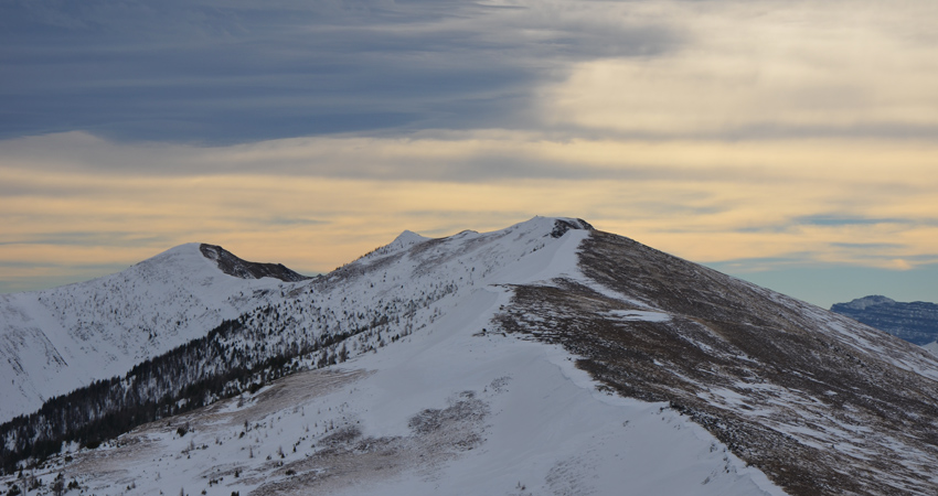
The true summit is at the southwestern corner of the right-angled horseshoe and lots of people seem to turn around here and simply walk back the way they came. The alternative is to continue east along the gently undulating ridge to the the east peak, then turn north along a parallel ridge back to the gravel road. This adds quite a bit of time and there were more ups and downs than I had anticipated, but the extension was well worth it. It’s such an empty area here and it’s a wonderful feeling – a privilege really – to have a beautiful ridge all to yourself while plodding along through pure nature. A few of the treed dips along the connecting ridge had deep snow patches that temporarily slowed me down, but the rest of the route was obstacle-free. Almost the entire length of the horseshoe is open terrain with good views.
Getting down the north end of the east ridge involved a short dive into steep forest, followed by some cutblocks and a bit more light bushwhacking to link up with Highway 940. There was obviously no traffic at all on this road when I walked back to my car just as the remaining daylight was fading. A highly enjoyable ridgewalk despite the strong winds.
|
Elevation: |
2547 m |
|
Elevation gain: |
1160 m |
|
Time: |
7.0 h |
|
Distance: |
17.8 km |
|
Difficulty level: |
Easy (Kane), T2 (SAC) |
|
Reference: |
Own routefinding |
|
Personal rating: |
4 (out of 5) |
NOTE: This GPX track is for personal use only. Commercial use/re-use or publication of this track on printed or digital media including but not limited to platforms, apps and websites such as AllTrails, Gaia, and OSM, requires written permission.
DISCLAIMER: Use at your own risk for general guidance only! Do not follow this GPX track blindly but use your own judgement in assessing terrain and choosing the safest route. Please read the full disclaimer here.