Crowsnest, AB, Canada
25 May 2020
With Trevor
Joking Poker
This has got to be the shortest and easiest peak one can possibly summit from a road in Alberta. It even beats Sulphur Mountain (well, at least the tourist “summit”) and probably also Tunnel Mountain. With just over 30 minutes up and down, including a 5 minute summit break, Poker Peak is as short as it gets.
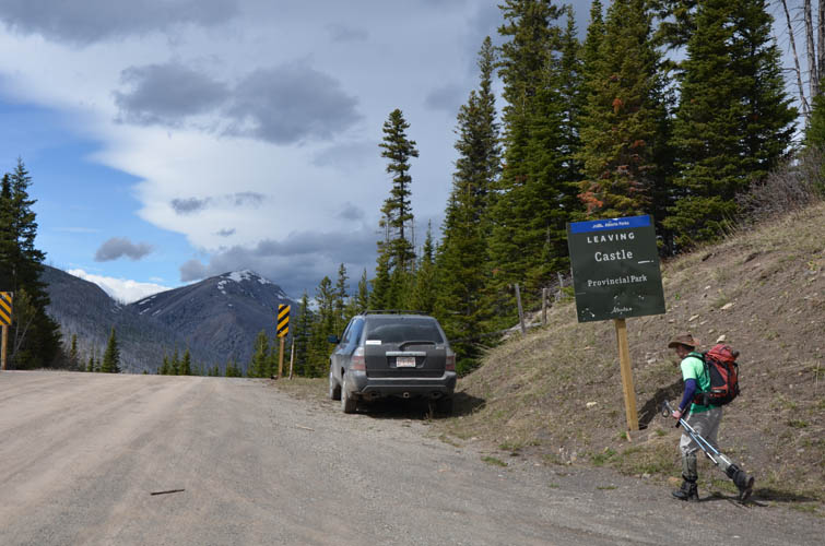
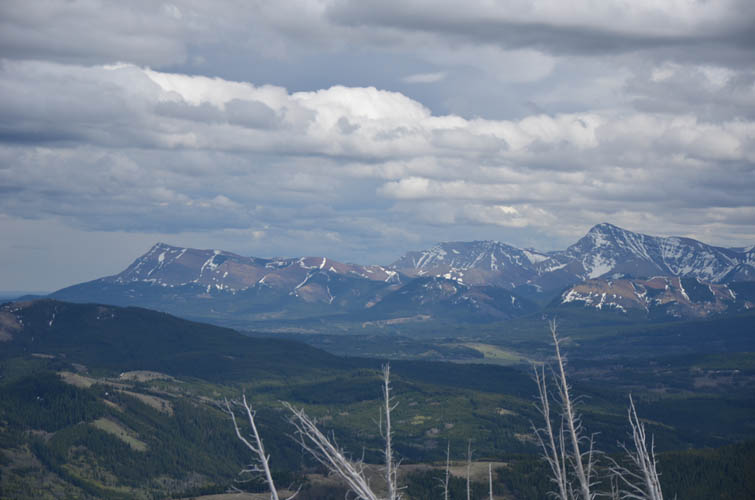
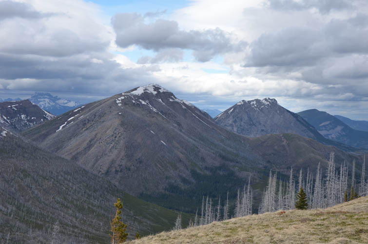
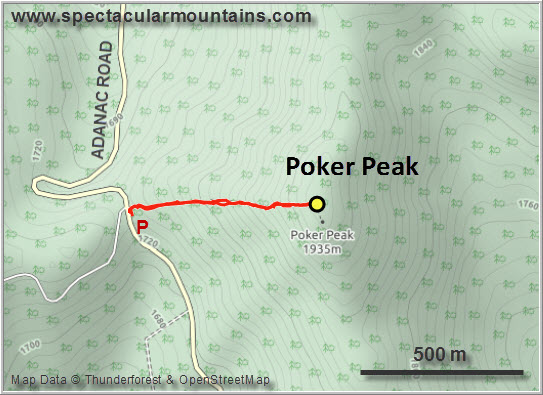
After ascending Bluff Mountain in the morning and getting stuck in deep snow near the summit, Trevor and I decided we weren’t done yet and needed some more exercise while we were down in the Crowsnest. So we took the half hour drive from Blairmore back down Hwy 3 and up the Adanac Road to the pass that forms the boundary between the Livingstone Provincial Recreation Area to the north and Castle Provincial Park to the south. Poker Peak is the little high point just east of the pass.
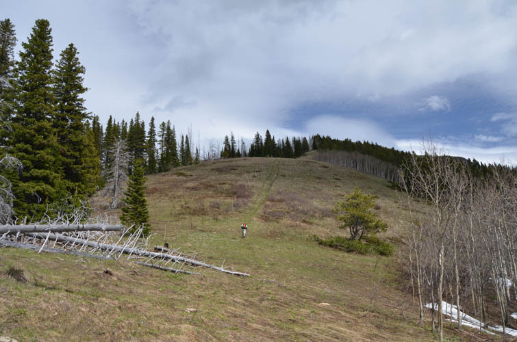
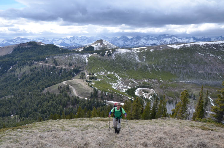
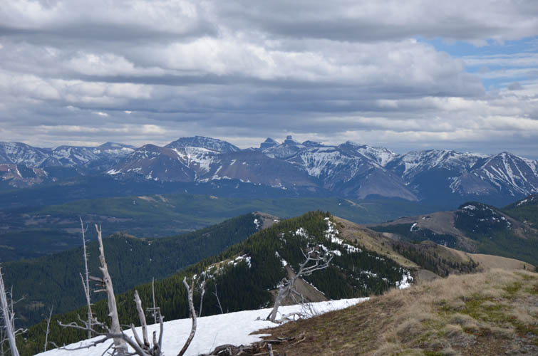
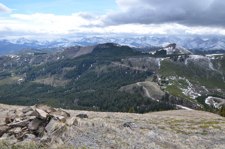
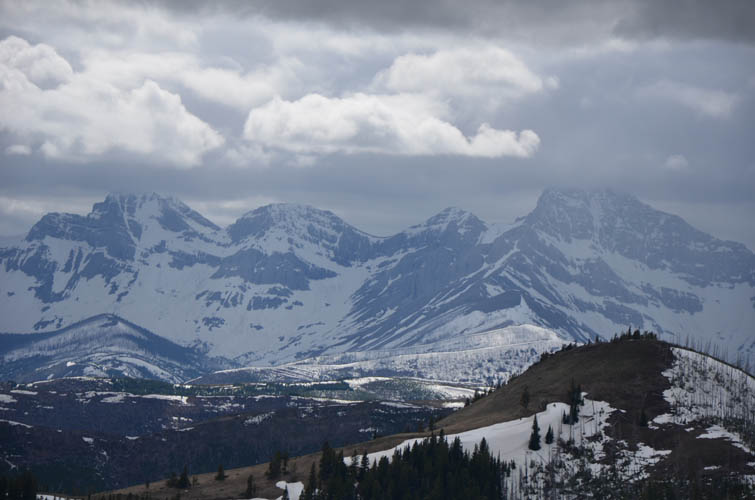
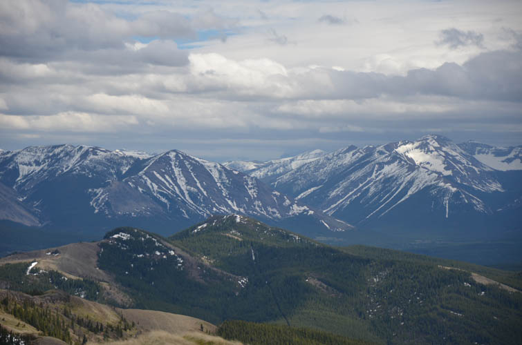
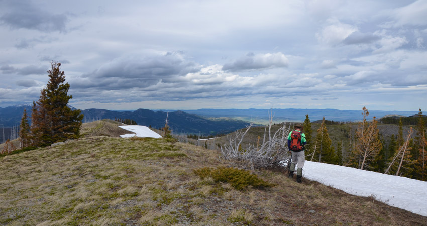
With wet feet in our soggy boots we quickly hiked the trail up the grassy slopes to the top and its small summit cairn. Thankfully, there was no snow covering the summit and we actually enjoyed some decent views after getting no summit views on Bluff earlier in the day.
I think the descent took us about 10 minutes. So the question is – can this even be called a proper peak? All depends on your definition… What really matters is that we enjoyed it :).
|
Elevation: |
1942 m (my GPS) |
|
Elevation gain: |
240 m |
|
Time: |
0.5 h |
|
Distance: |
1.4 km |
|
Difficulty level: |
Easy (Kane), T1 (SAC) |
|
Reference: |
Local maps |
|
Personal rating: |
3 (out of 5) |
NOTE: This GPX track is for personal use only. Commercial use/re-use or publication of this track on printed or digital media including but not limited to platforms, apps and websites such as AllTrails, Gaia, and OSM, requires written permission.
DISCLAIMER: Use at your own risk for general guidance only! Do not follow this GPX track blindly but use your own judgement in assessing terrain and choosing the safest route. Please read the full disclaimer here.