Crowsnest, AB, Canada
14 June 2020
With John, Marcelina and Trevor
Quiet early-season hike
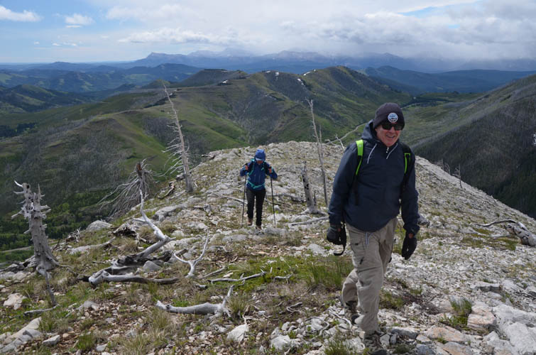
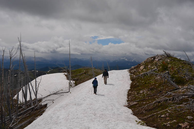
There was a significant amount of snow still remaining this spring and into early summer, such that many peaks that would make for perfect June objectives were impossible to do this year. The Crowsnest in southern Alberta is a particularly windy area and many mountains in its Front Ranges are thus doable before others in the rest of the province. So this was the third time within three weeks that we decided to head down there. This time Trevor and I were accompanied by our good friends Marcelina and John. One geophysicist and three geologists…. hmmm, how is this going to end!?
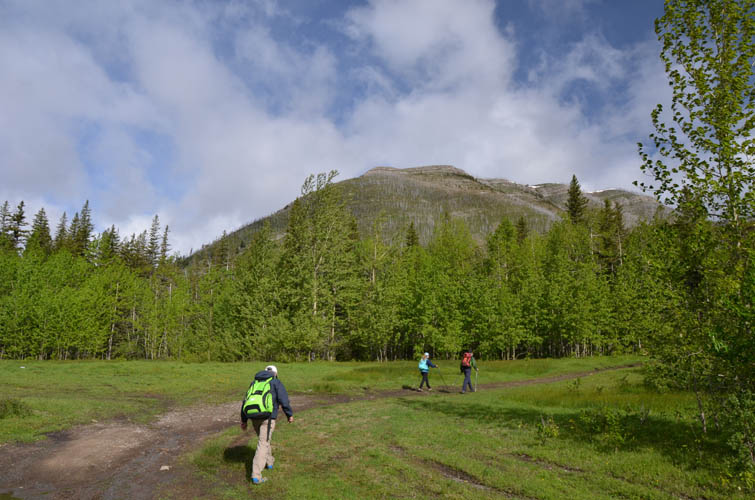
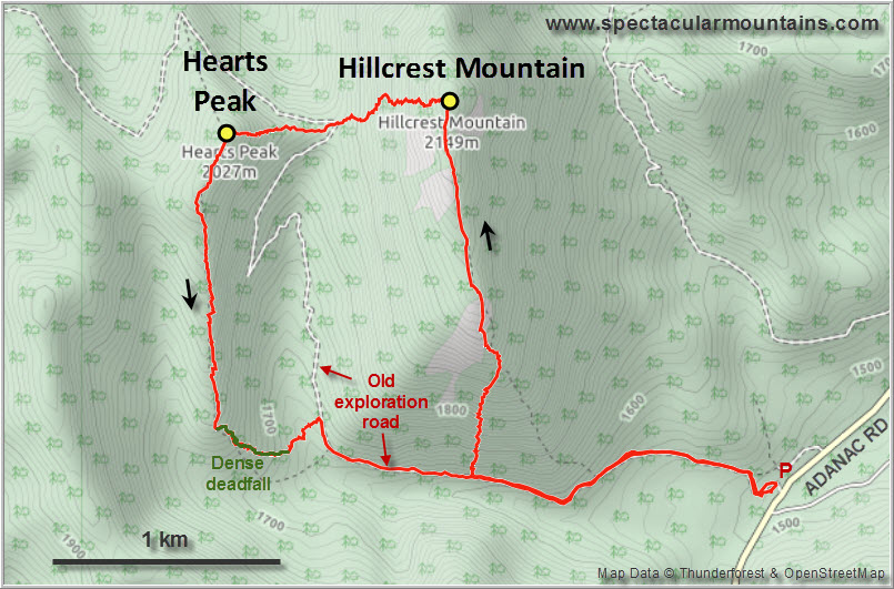
Hillcrest and Hearts are two minor peaks that are easily combined because they’re right next to each other. The trailhead is by an informal camping spot up the Adanac Road a few km before the pass (where Castle Provincial Park begins). An old exploration road heads in a westerly directly uphill from here. Earlier in the season the upper part of the Adanac Road might be tricky to navigate with snow on the ground, but today it was completely dry.
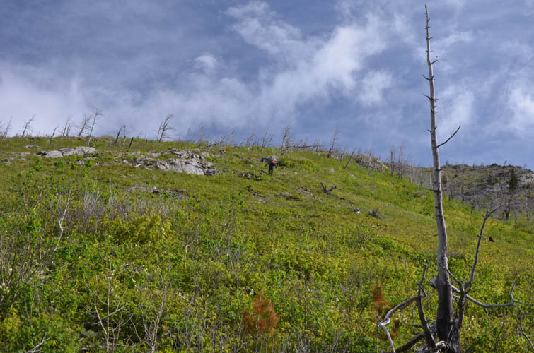
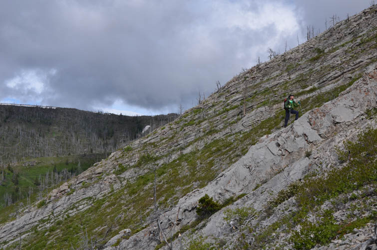
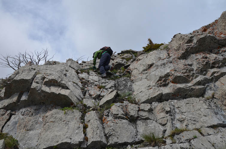
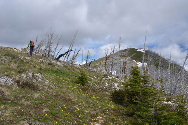
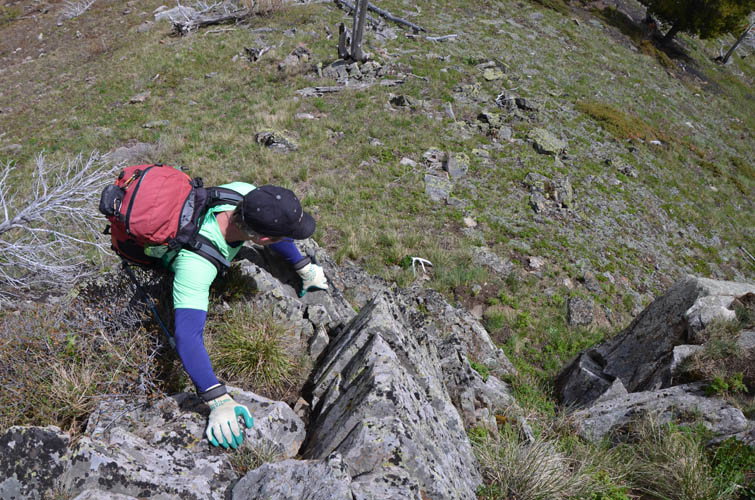
We decided to make an anti-clockwise loop, climbing Hillcrest first via its steep south side. We left the old exploration road after about 1.5 km, then started grunting up the broad south ridge, which wasn’t to everyone’s enjoyment. It’s very steep and annoyingly rubbly in parts, but thankfully there are rock ribs and cliffs here and there that offer solid footing and a bit of scrambling, especially higher up. I’m actually quite surprised that no trail has formed here yet, which is probably due to the wide slope and an ill-defined ridge line.
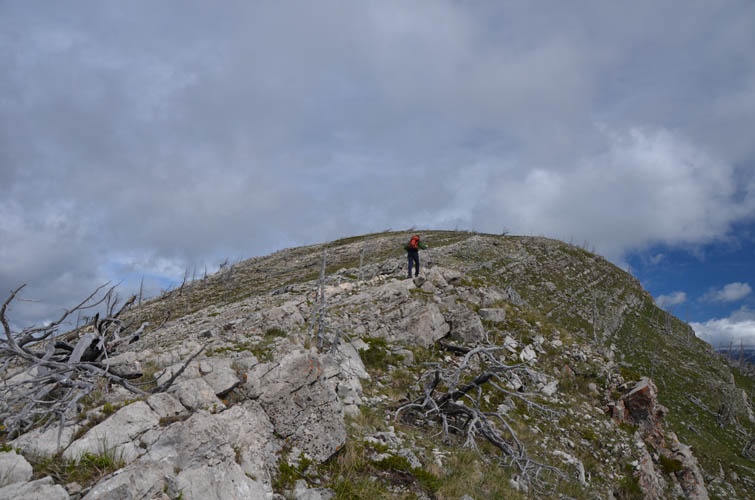
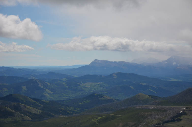
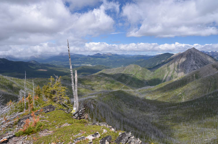
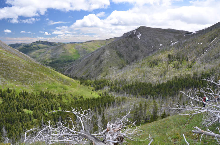
Before we reached the summit ridge we found a nice grassy bench behind a rock band protecting us from the wind where we sat down to take a break. The rest of the way to the summit is a pleasant walk, the views decent but not overly exciting.
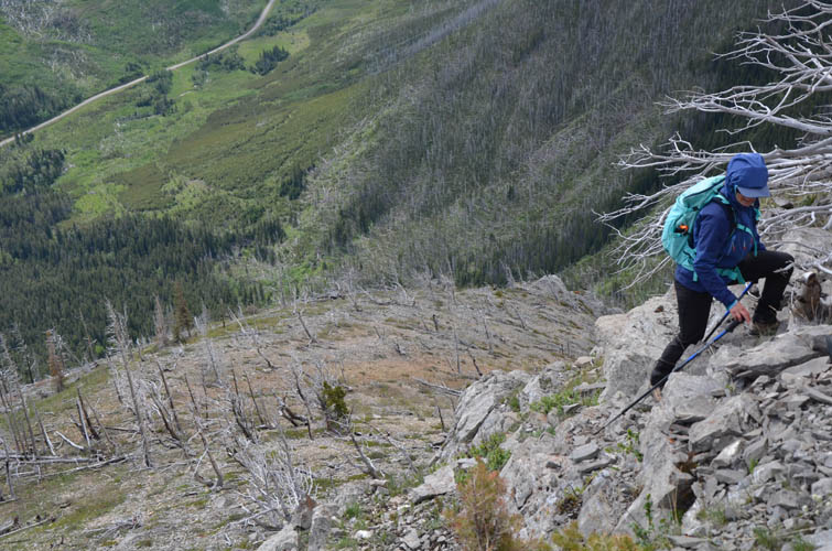
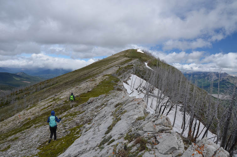
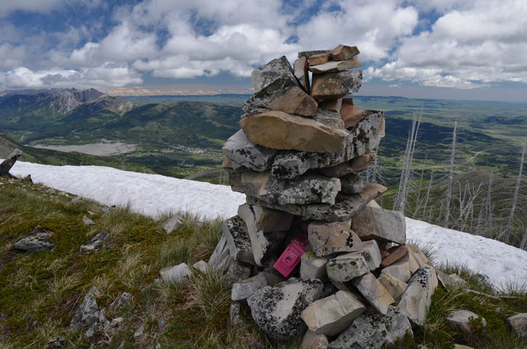
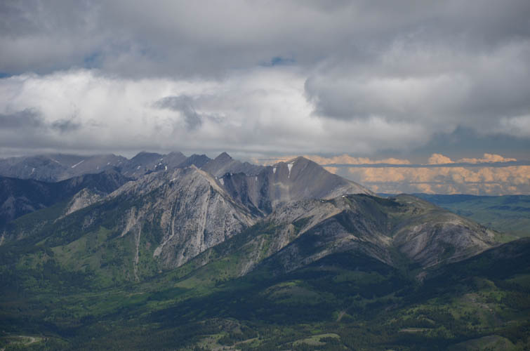
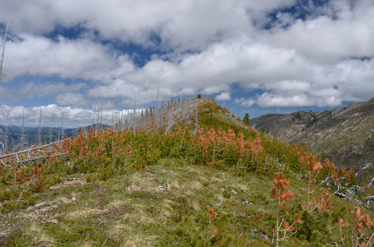
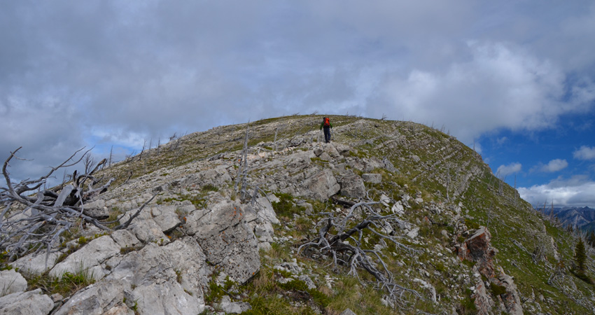
From the large summit cairn we dropped down the wide west slopes of Hillcrest Mountain, some of it on grass, some through the trees, and some across a bit of deadfall, to reach the small saddle between Hillcrest and Hearts Peak to the west. This is where we rejoined the old exploration road that loops around the west and south slopes of Hillcrest. While Marcelina and John were happy to return to the car from here, Trevor and I took the short detour up Hearts Peak from here – if this can even be called a “peak”. Just below the summit is a small outcrop of sandstone blocks that offers some fun moderate to difficult scrambling, which can easily be bypassed on the right or left. The summit mass itself is composed of coarse and colorful conglomerate, the same Cretaceous rock found on neighboring Spades Peak to the south.
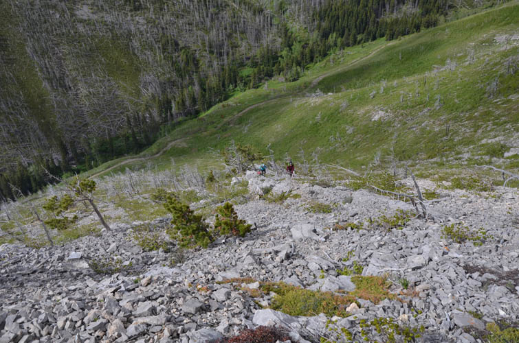
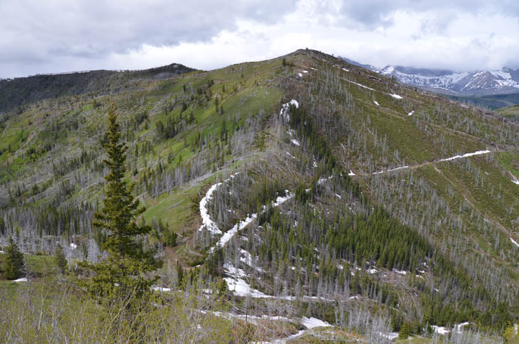
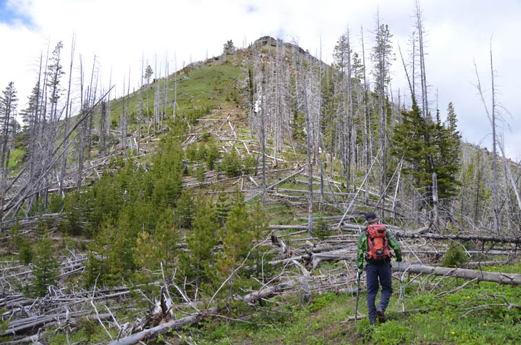
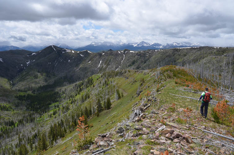
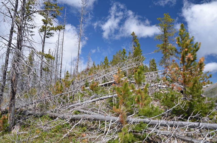
The easiest (and recommended) way back would be to simply retrace your steps to the saddle again. However, Trevor and I were lured into the long south ridge of Hearts Peak that looked too inviting to pass. And of course we’re always keen on trying out new routes, so why not. Despite looking rather friendly and open in its upper part, the south ridge of Hearts, however, gradually turns into more and more of a nuisance further down due to increasing amounts of deadfall. At the end of the ridge we had to cross a large swath of fallen logs from a previous forest fire to get back to the exploration road, a short but painfully cumbersome affair.
Once back on the old track all we had to do is follow it downhill and back to our cars. A nice and short early-season outing with great company!
|
Elevation: |
Hillcrest Mountain: 2161 m |
|
|
Hearts Peak: 2023 m |
|
Elevation gain: |
840 m |
|
Time: |
6.0 h |
|
Distance: |
9.3 km |
|
Difficulty level: |
Easy (Kane), T2 (SAC) |
|
Reference: |
Own routefinding |
|
Personal rating: |
3 (out of 5) |
NOTE: This GPX track is for personal use only. Commercial use/re-use or publication of this track on printed or digital media including but not limited to platforms, apps and websites such as AllTrails, Gaia, and OSM, requires written permission.
DISCLAIMER: Use at your own risk for general guidance only! Do not follow this GPX track blindly but use your own judgement in assessing terrain and choosing the safest route. Please read the full disclaimer here.