Crowsnest, AB, Canada
25 May 2020
With Trevor
A quick game of cards
There are some strange names for some minor bumps in this area. Clubs, Spades, and Hearts Peak are all official names (at least there are big glossy signs with the names on them), but they certainly sound grander than they are. Which is – mere bumps.
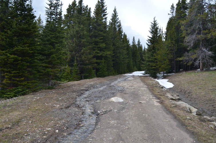
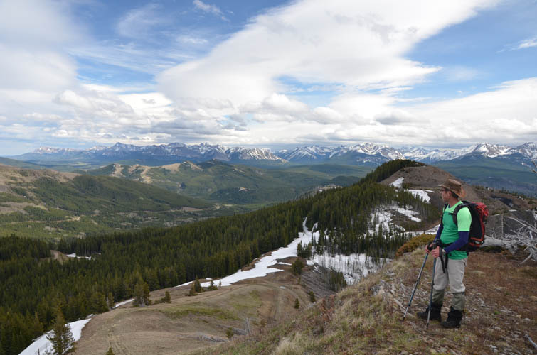
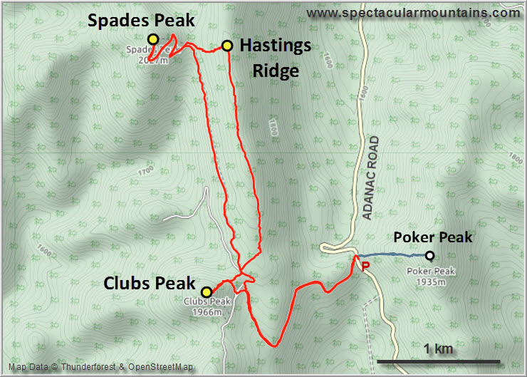
After walking up and down Poker Peak in half an hour, Trevor and I went on the third an last hike of the day, starting at an old coal exploration road right across from Poker. It only makes sense to do these two short trips together as you park at the same place: the small pass that forms the natural boundary between the Livingstone Provincial Recreation Area to the north and Castle Provincial Park to the south.
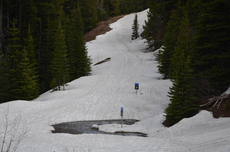
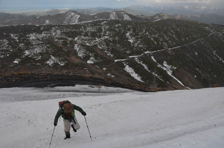
There were still some patches of snow covering parts of the exploration road, but the postholing was overall minimal on this hike compared to Bluff Mountain in the morning. We took a shortcut up the east side of Clubs Peak, which is again simply a walk up. The grassy slopes near the top were a great place to sit down and treat ourselves to a nice summit beer.
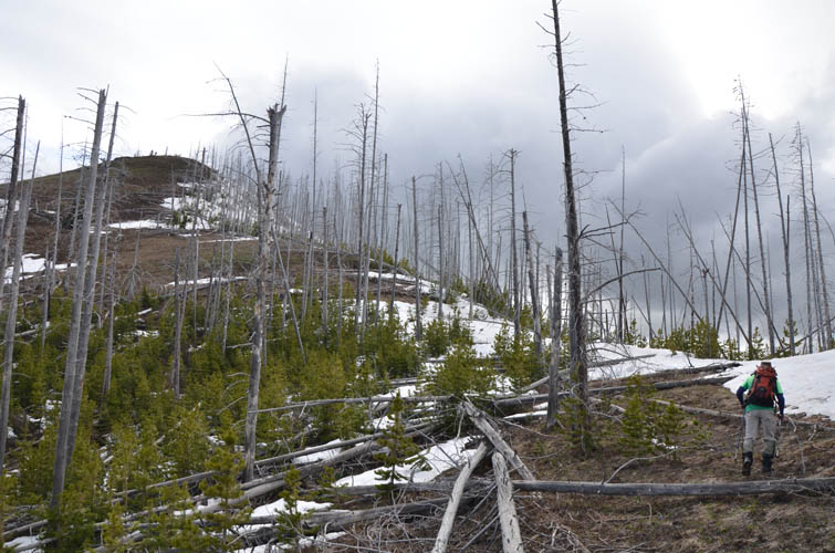
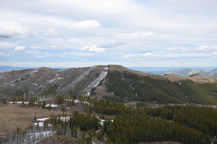
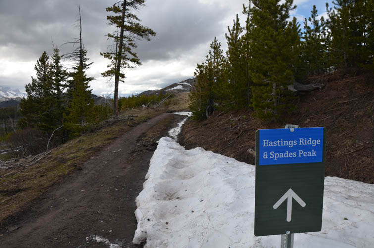
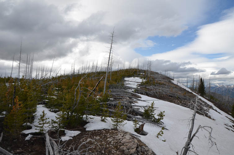
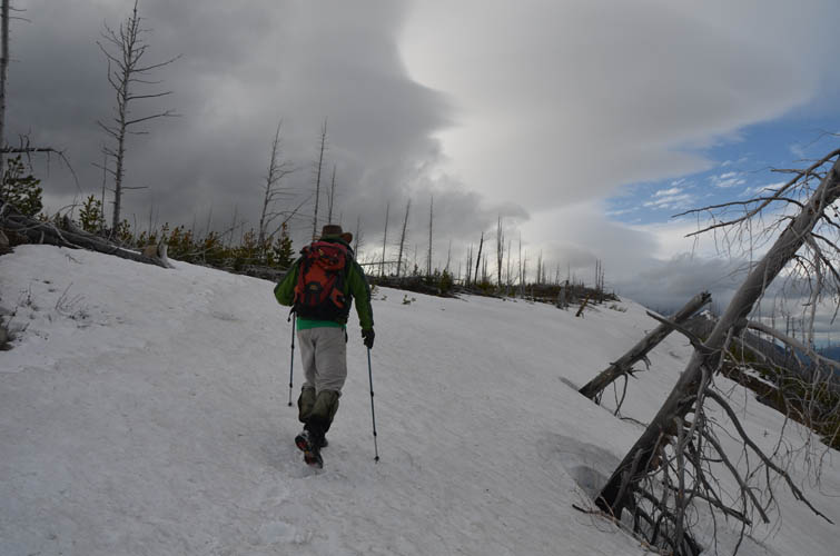
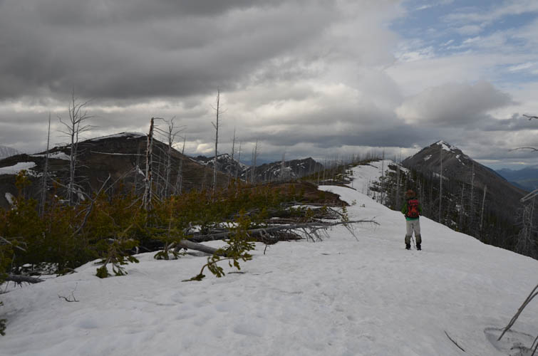
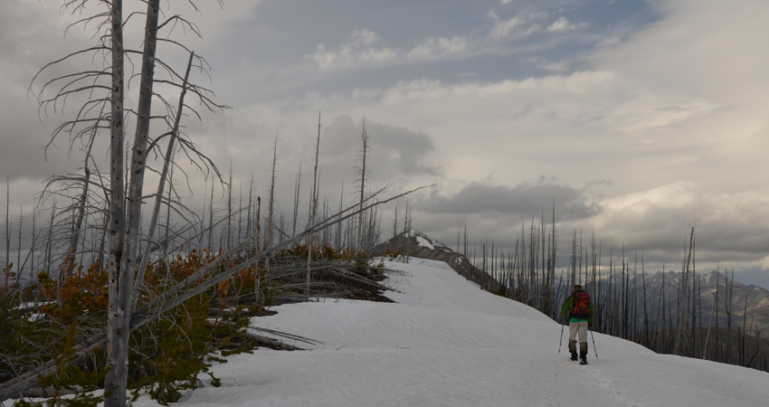
Hastings Ridge is also signposted and sits across the small saddle to the NE of Spades. There seems to be no trail on top of this ridge, which is covered in deadfall – as if someone had thrown them across the top like matchsticks. Highly unpleasant terrain to hike across! Thankfully, after a short initial bushwhack we found a solid snow bank clinging on to the east side of the ridge, which offered an obstacle-free way to hike and made things so much easier. Hard to say where the exact summit is as we couldn’t find a cairn in the snow-covered top.
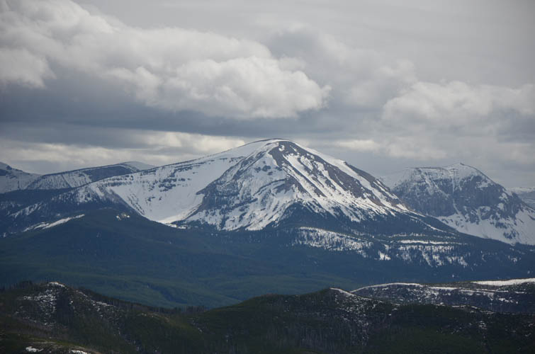
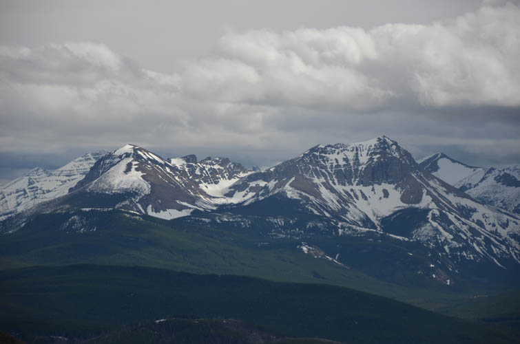
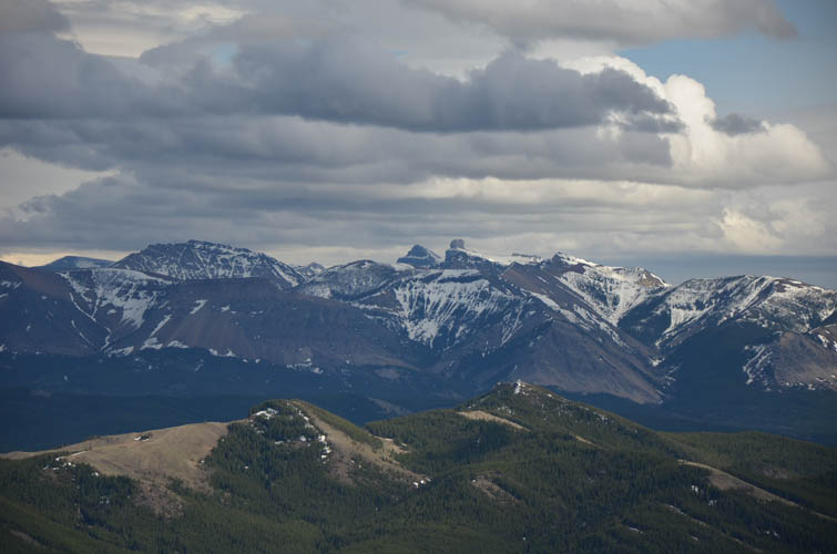
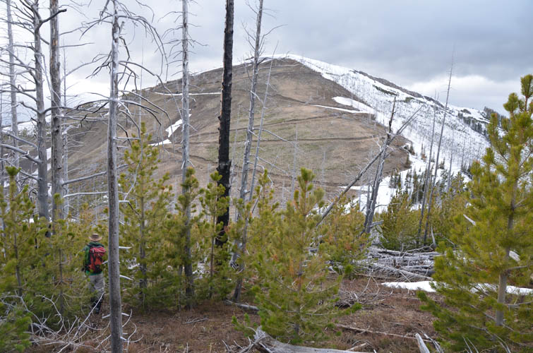
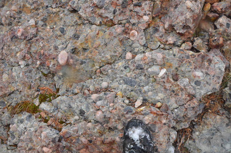
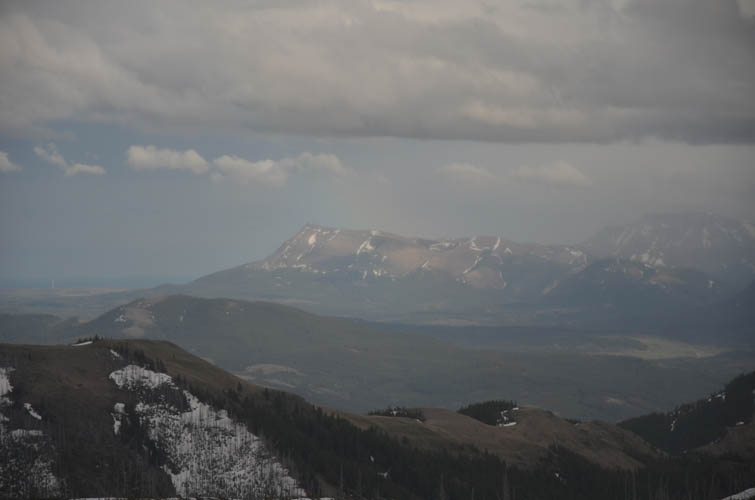
After walking up and over what we thought was the high point, we made a sharp left and headed straight west down a half-treed slope to the saddle between Hastings Ridge and Spades Peak, some light bushwhacking included. This is where our route linked up with the old exploration road again that winds its way up the east side of Spades to almost near the top. The views were nice but nothing to write home about. The area is one of low-lying hills and bumps, many of which are covered in dead trees from forest fires years ago. The highlight for me was probably the small conglomerate outcrop at the top of Spades – a colourful mix of pebbles encased in red mudstone that looks completely out of place up here, but of course forms part of the Cretaceous strata so common in the Foothills.
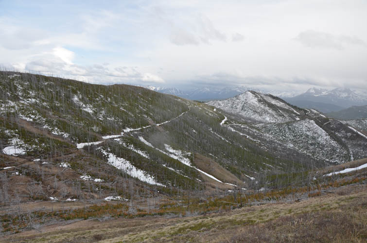
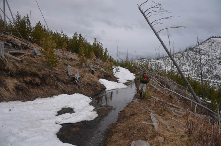
A light drizzle set in when we started our walk back, this time following the exploration road that hugs the west side of Hastings Ridge. From a distance, it looked like we might be in for some nasty deadfall and deep snow on sections of this road, but to our luck someone had cleared a lot of the trees on the track not long ago and the snow wasn’t an issue either. All in all not exactly an exciting trip but a “nice to do” while in the area for sure.
|
Elevation: |
Clubs Peak: 1946 m (my GPS) |
|
|
Hastings Ridge: 1965 m (my GPS) |
|
|
Spades Peak: 2019 m (my GPS) |
|
Elevation gain: |
600 m |
|
Time: |
3.5 h |
|
Distance: |
10.7 km |
|
Difficulty level: |
Easy (Kane), T2 (SAC) |
|
Reference: |
Local maps |
|
Personal rating: |
2 (out of 5) for Clubs Peak, 1 (out of 5) for Hastings Ridge, 3 (out of 5) for Spades Peak |
NOTE: This GPX track is for personal use only. Commercial use/re-use or publication of this track on printed or digital media including but not limited to platforms, apps and websites such as AllTrails, Gaia, and OSM, requires written permission.
DISCLAIMER: Use at your own risk for general guidance only! Do not follow this GPX track blindly but use your own judgement in assessing terrain and choosing the safest route. Please read the full disclaimer here.