Crowsnest, AB, Canada
25 May 2020
With Trevor
Fun scrambling and deep snow
Who would’ve thought that there’d still be this much snow on little Bluff Mountain!? Trevor and I had both seen Vern’s recent report for Bluff from two weeks earlier where he and Wietse ran into trouble treading through deep snow near the summit. But surely two weeks of relatively warm weather would’ve melted most if not all of it… wrong.
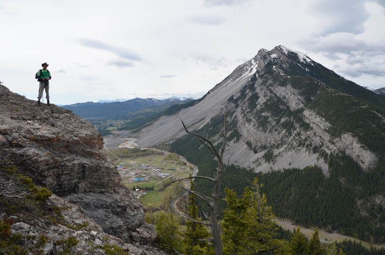
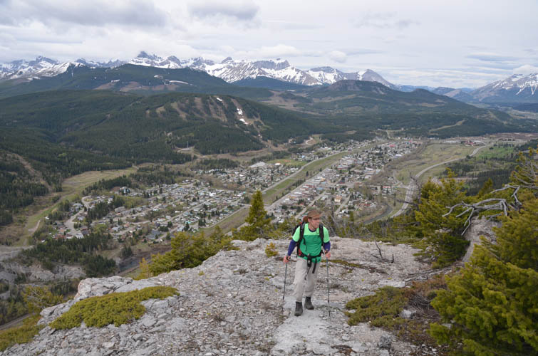
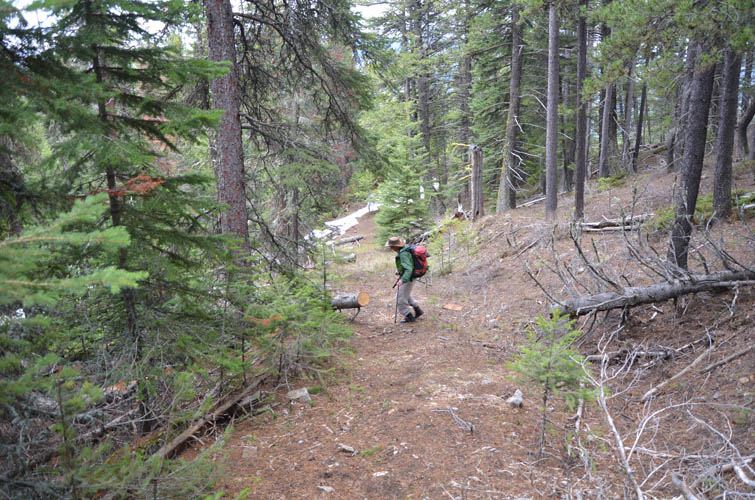
Just like Vern, we were kicking ourselves for not having brought our snowshoes today. The mountain looks almost entirely dry from the highway below, so we left them in the car. Bluff isn’t really an impressive mountain to look at – it appears more like a lowly forested ridge than a proper mountain. Yet looks can be deceiving: it’s still a full 1000 m elevation gain to the summit and there is some enjoyable scrambling to be had on its south ridge.
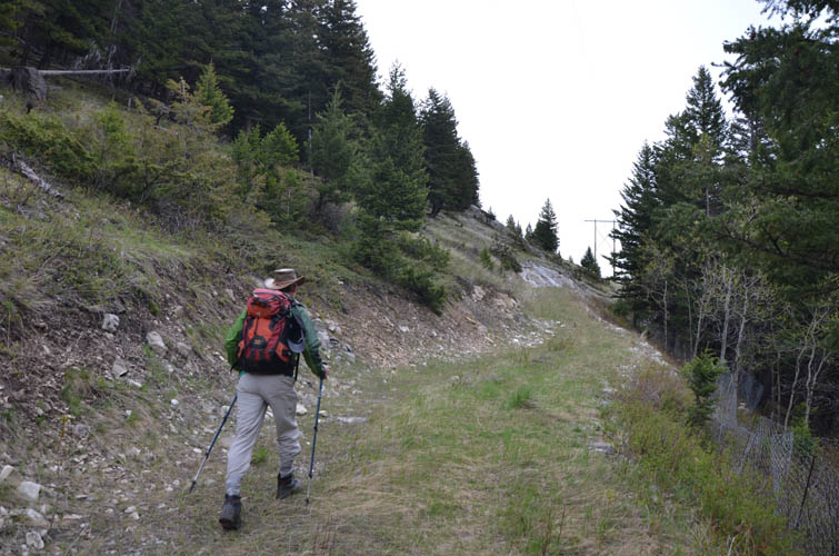
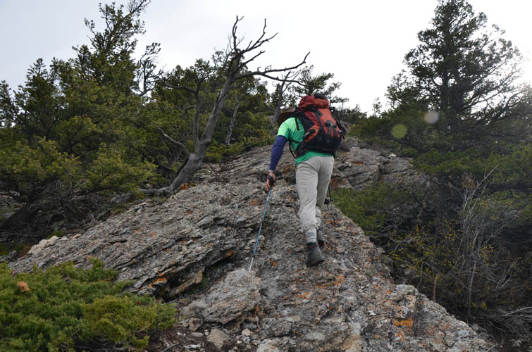
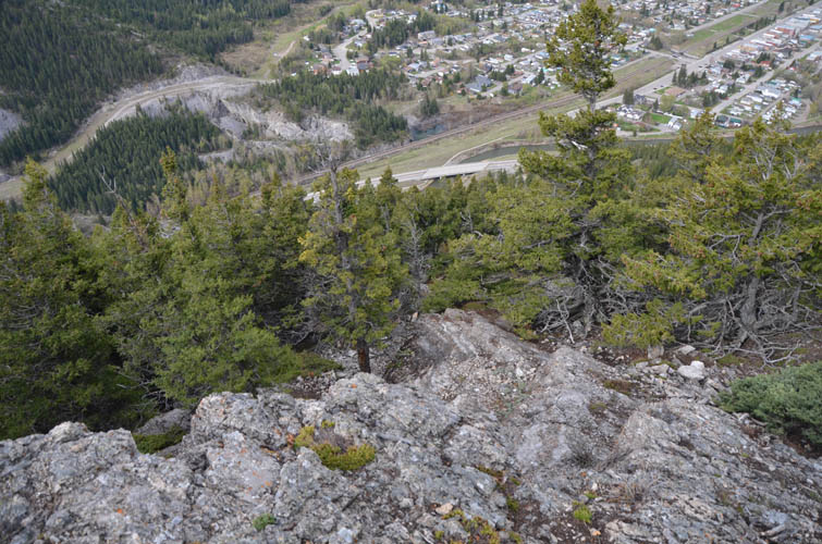
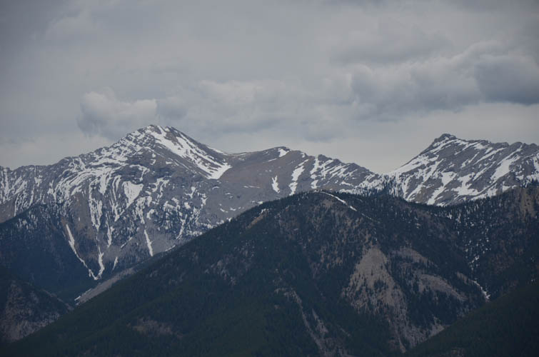
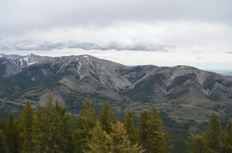
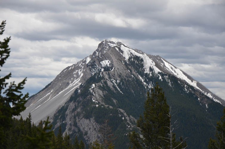
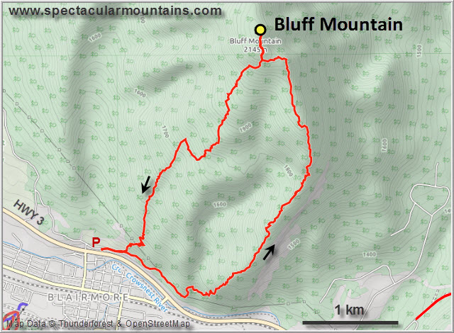
Starting from the cemetery of Blairmore on the northern side of Hwy 3, we followed the utility road east and then crossed light forest to link up with a very good blazed trail that heads up the south ridge. We were both quite astonished how good this trail is. There are short outcrops of grippy rock here and there that allow for some fun optional scrambling of varying difficulty levels. Views are nice, but not stunning, with Turtle Mountain forming the main protagonist in the back.
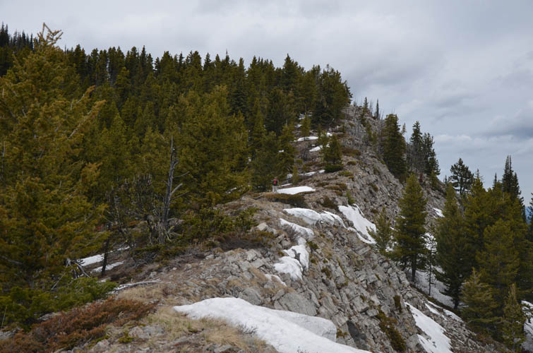
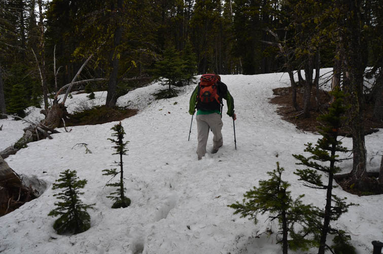
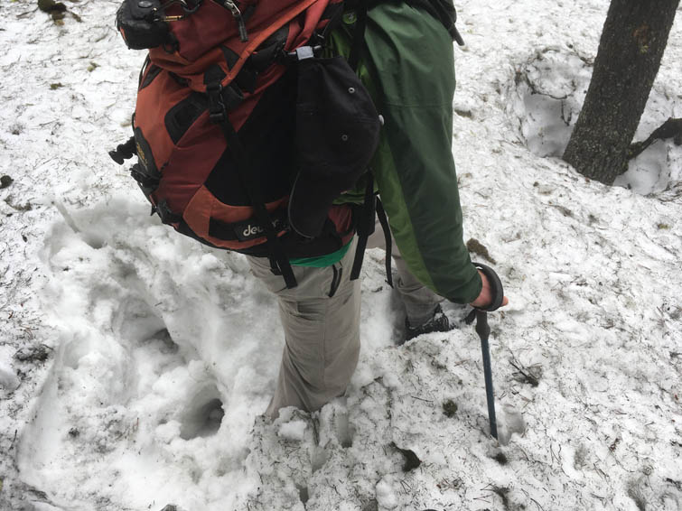
As you near the summit, the ridge flattens out and becomes covered in trees, which is a bit anticlimactic especially when there are no views from the top. Furthermore we all of a sudden had to deal with waist-deep snow up here, when the trail lower down was entirely dry. The last 500 m must’ve taken us an hour or so. We saw some old tracks (probably Vern and Wietse’s), but they were hard to follow and offered no support. So we no choice but to take it one step at a time and wade through the deep snow at an excruciatingly slow and energy-sapping pace.
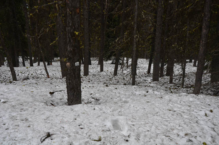
For the way back we initially backtracked the section we had already postholed, then headed down the gentle SW ridge. There was initially lots of deep snow that made us thoroughly regret that decision, but once we got low enough the snow petered out and the rest was an easy forest hike on faint trails back to the cemetery.
Just like Lusk Ridge, Bluff Mountain seems to hold snow forever after a long winter, so best to do this one in the summer or fall. It took us a full six hours today, but without the snow you can easily shave off an hour or more.
|
Elevation: |
2150 m (my GPS) |
|
Elevation gain: |
1000 m |
|
Time: |
6 h |
|
Distance: |
9.8 km |
|
Difficulty level: |
Easy (Kane), T2 (SAC) |
|
Reference: |
Spirko, Vern |
|
Personal rating: |
3 (out of 5) |
NOTE: This GPX track is for personal use only. Commercial use/re-use or publication of this track on printed or digital media including but not limited to platforms, apps and websites such as AllTrails, Gaia, and OSM, requires written permission.
DISCLAIMER: Use at your own risk for general guidance only! Do not follow this GPX track blindly but use your own judgement in assessing terrain and choosing the safest route. Please read the full disclaimer here.