Ghost, AB, Canada
26 June 2020
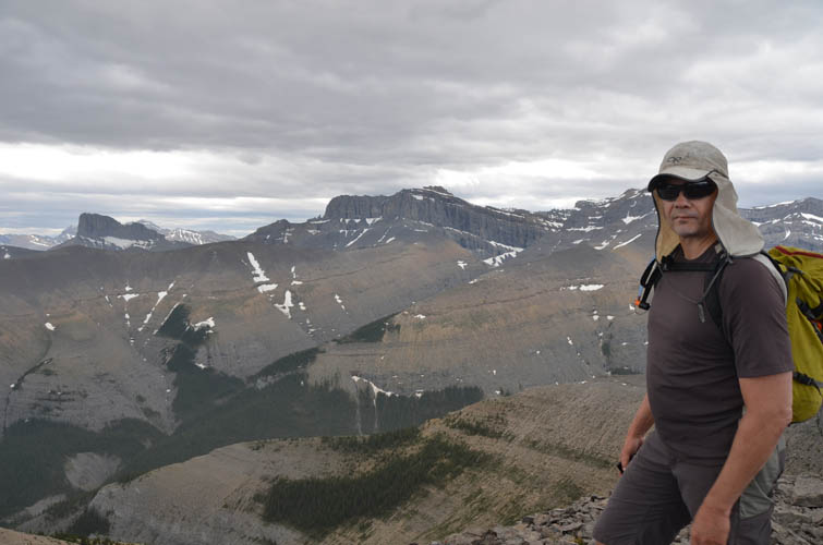
With Kevin
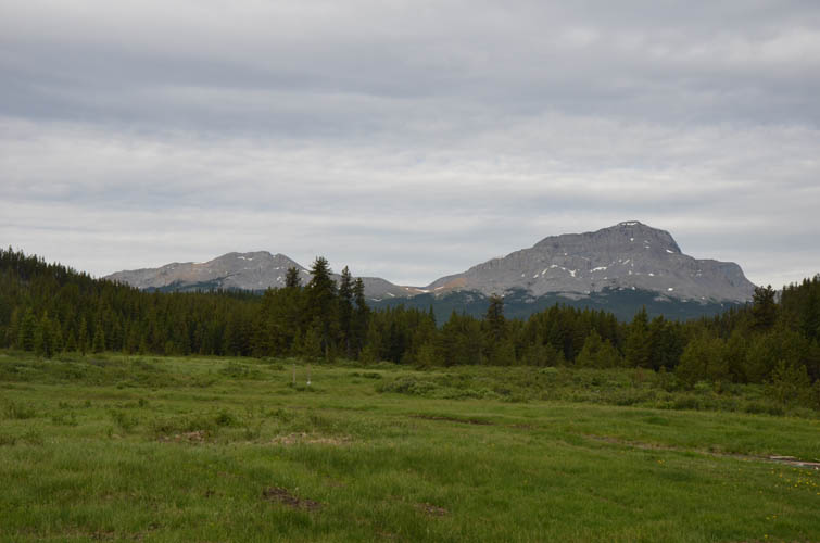
A long and rewarding ridge walk in a remote part of the Ghost
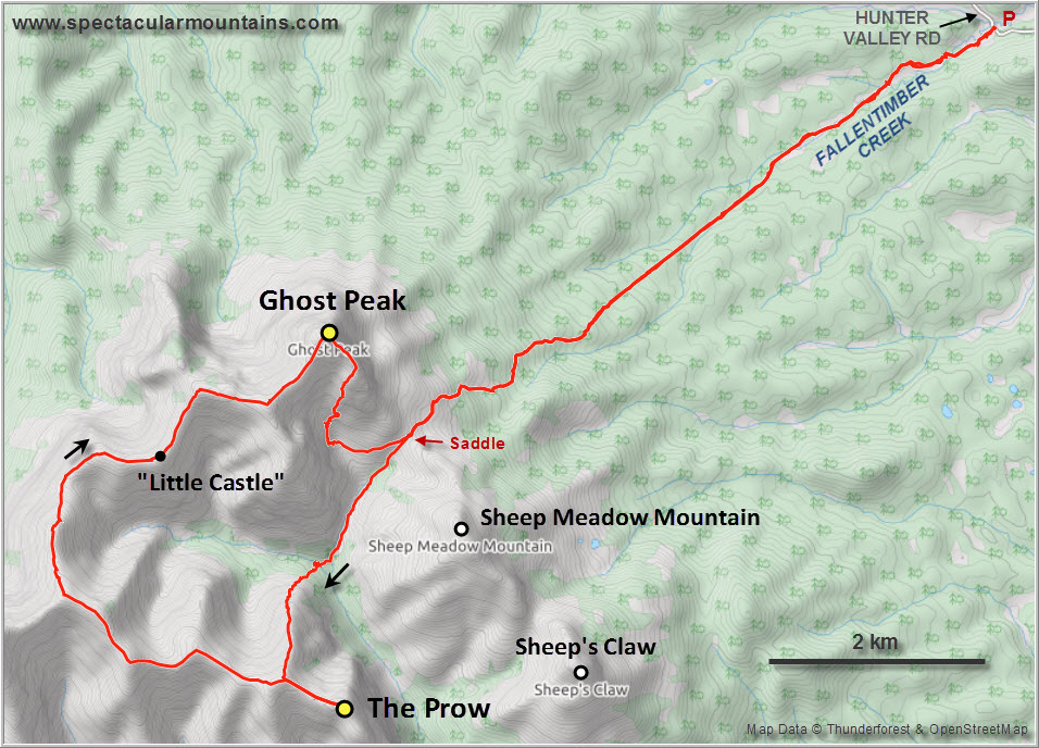
This was my third time to do the long approach along the seismic line and (illegal) dirt bike trails to the lovely saddle between Ghost Peak and Sheep Meadow Mountain. Back in 2016 Priyesh and I had scoped out a magnificent scramble route through the southern cliffs of Ghost Peak. Then last year Kevin and I enjoyed a fabulous winter outing to Sheep Meadow Mountain and Sheep’s Claw. And now back again – clearly I love this area! Kevin didn’t hesitate to join me when I suggested to do an extended high-level ridge walk combining The Prow with Ghost Peak, and I was really glad to have such wonderful company for a rather long day.
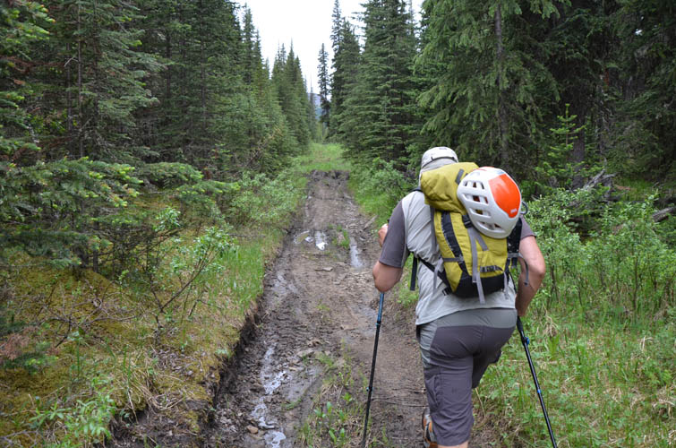
The boggy area in the first few km along Fallentimber Creek was just like I remembered it from a few years back, but this time we also had plenty of mosquitoes to fend off, something I hadn’t experienced during my previous two trips to the area. The approach may be long but it’s a great way to warm up and the trail is in very good shape most of the way.
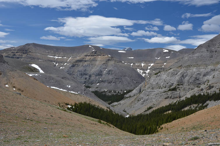
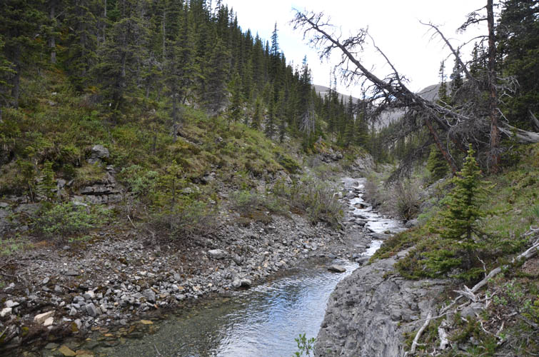
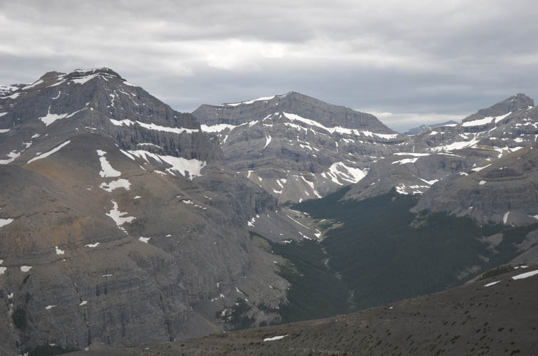
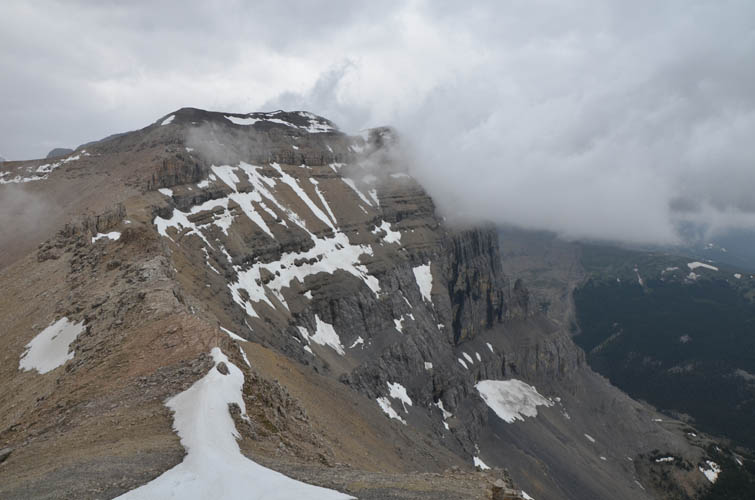
At the saddle we took a short break before dropping down the west side, initially along more dirt bike tracks, then trail-less along a pristine rocky creek. Near the end of this creek it made more sense to shortcut over a treed rise to our right instead of going all the way down the valley. We were aiming for an easy looking rib that runs down the north side from The Prow. Now, for clarification, “The Prow” isn’t really a prominent mountain, it’s the unofficial name for the southern end of a broad ridge SE of Mount Davidson. This ridge boasts beautiful vertical cliff faces on its eastern sides, which is where a number of ice climbing routes were established many years ago. The area is seldom visited, however, in part because of the difficulties in getting there.
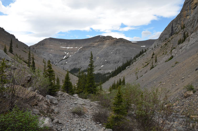
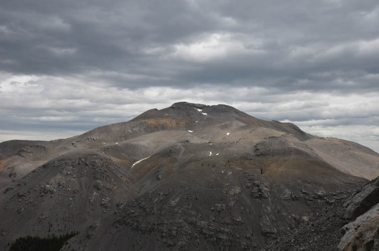
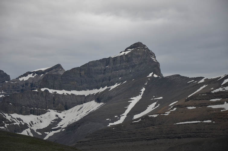
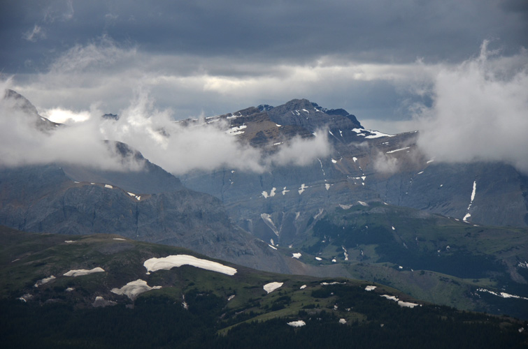
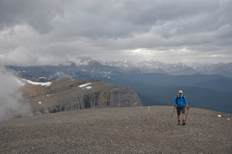
After crossing the small creek that runs N-S on the east side of The Prow, we started hiking up scree and easy rock ledges of the north rib. It’s steep, but straightforward and the terrain gets more and more gentle higher up. We spotted a cairn on a high point a short distance south and hiked over to what would probably be the “summit” of The Prow. There are some unique views from here, for example the backside of Sheep Meadow Mountain and the charming valley below it. Mount Davidson, the highest peak in the vicinity, looks very impressive from here as well.
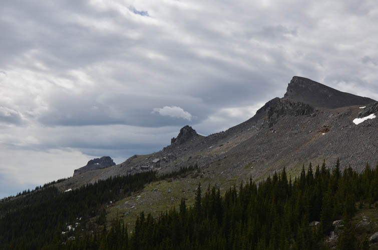
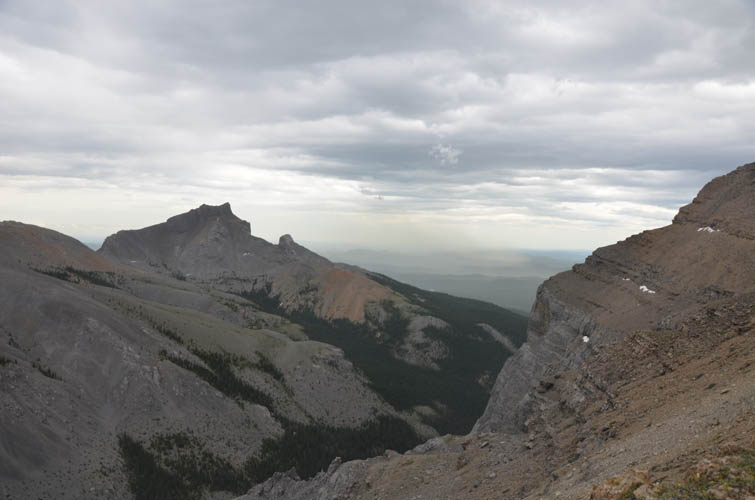
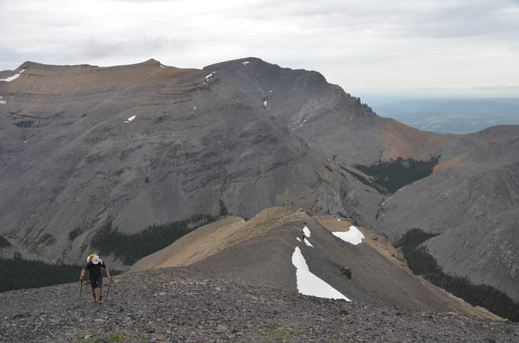
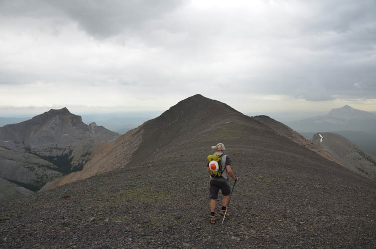
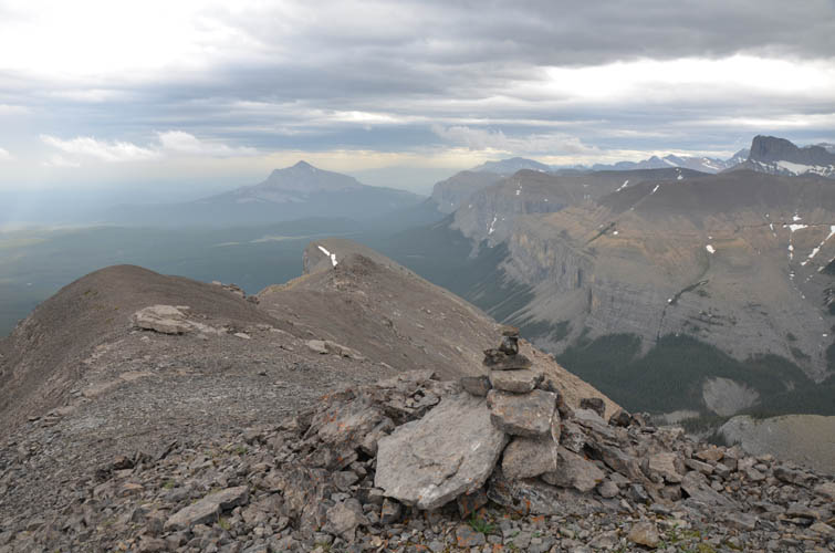
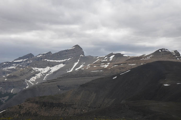
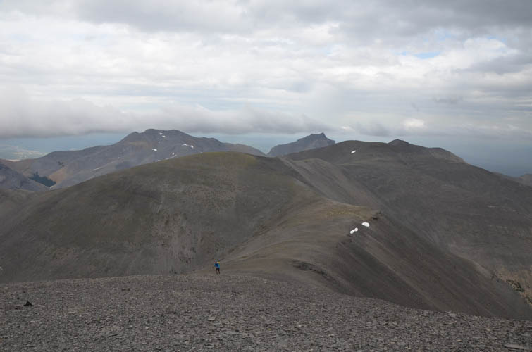
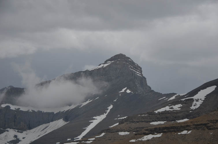
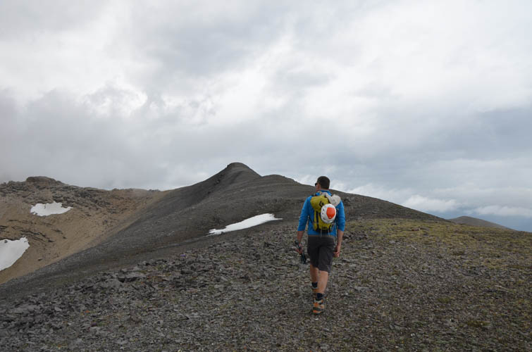
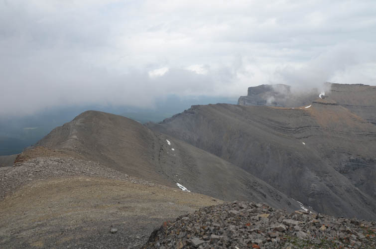
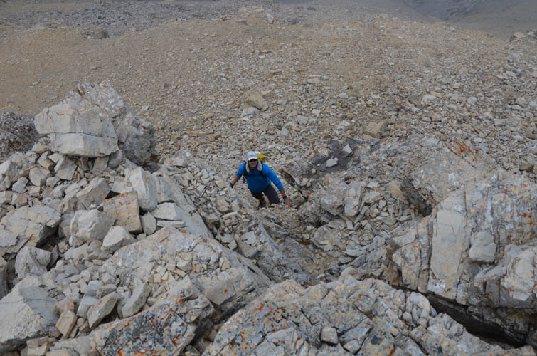
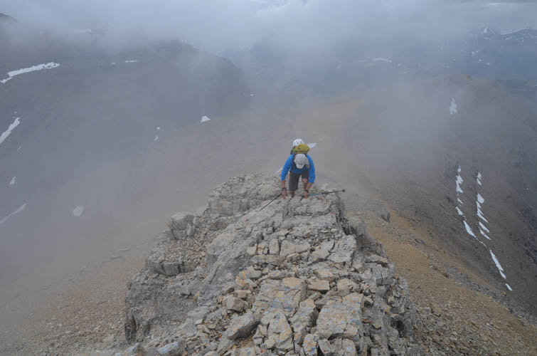
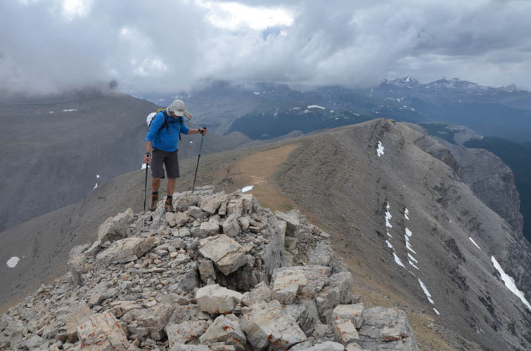
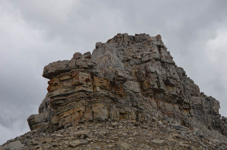
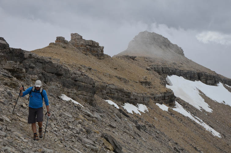
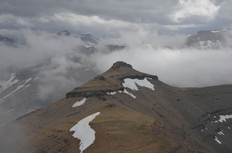
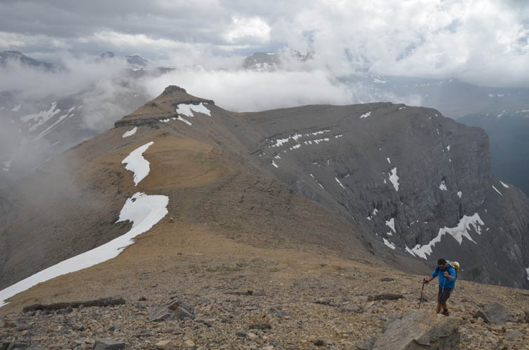
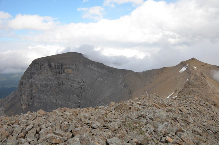
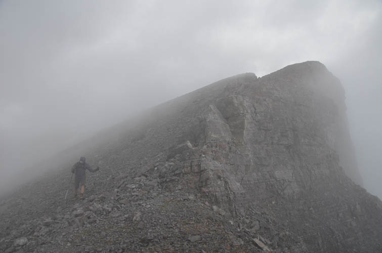
The next few hours were the most enjoyable part of the trip: we followed the broad and gently undulating ridge northwest, then turned north and east towards Ghost Peak. There are many high points along the way, some very broad and rounded, others sharp and craggy, but none of them cairned. We thought about a short detour to Waiparous Peak where the ridge from The Prow joins the Davidson-Ghost ridge, but decided against it as this would’ve added about another 2 hours to an already long day. The highlight of the ridge walk was a neat castle-like peak with vertical “walls” around it that sits about half-way between Waiparous and Ghost Peak. It was really fun conquering “Little Castle”, as we nicknamed it, a moderate to difficult scramble on both the west and east sides.
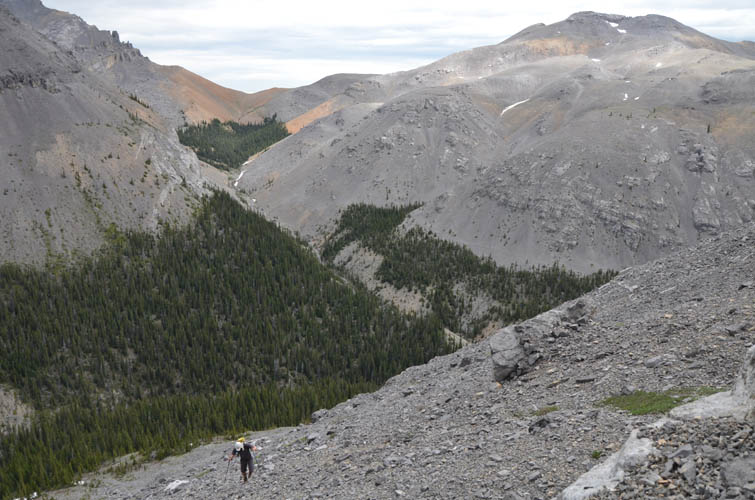
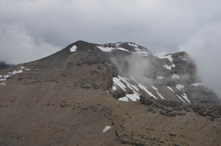
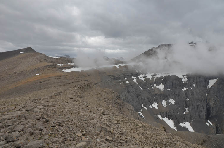
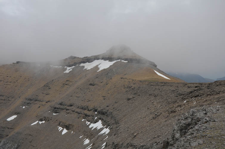
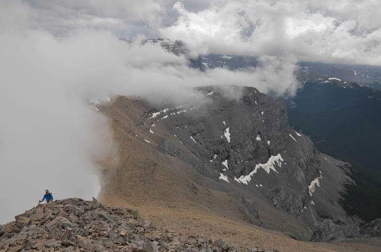
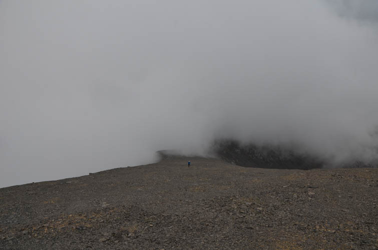
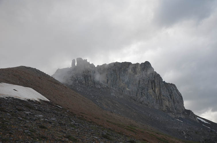
Past Little Castle there is one more major high point to overcome, then it’s an easy trudge up the wide southwest slopes of Ghost Peak. Although we would’ve preferred a clear and sunny day, the dense clouds swiftly moving in and out along the ridge made for an interesting spectacle and a ghostly atmosphere.
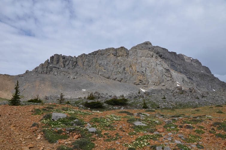
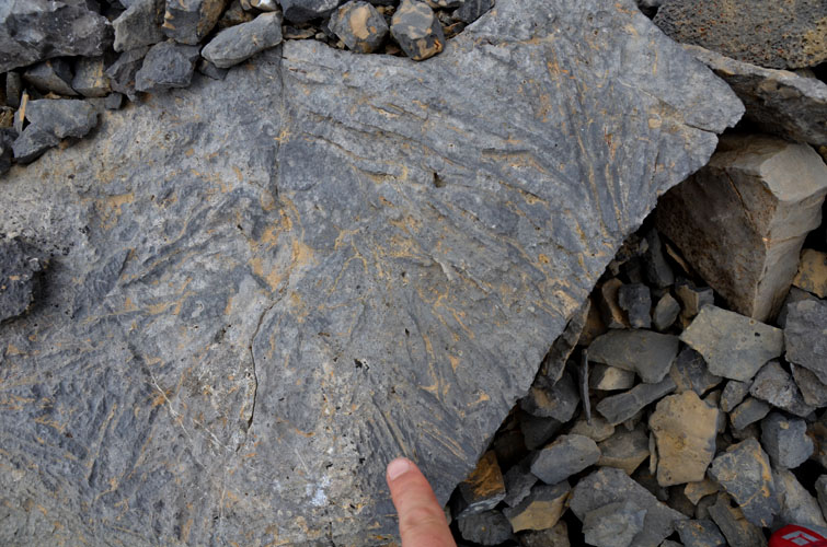
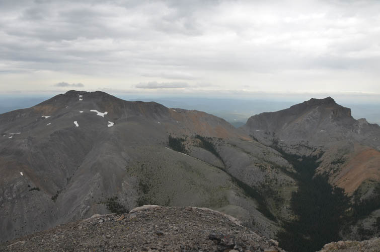
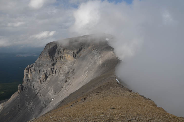
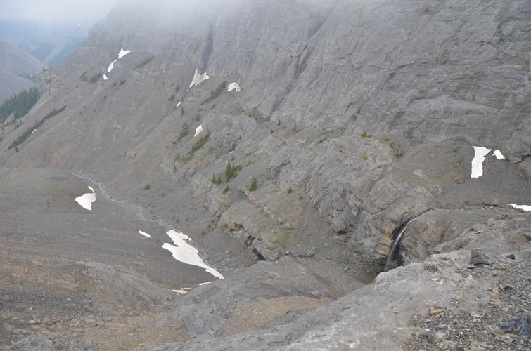
Quite a few parties have climbed Ghost Peak from the south side in recent years such that a trail has formed in the scree on a route that bypasses the steep cliffs on climber’s left (west). Kevin and I had intended to follow this “normal route” down, but somehow veered too far west and ended up in the deeply incised valley south of Ghost Peak. This is quite a fascinating and beautiful place featuring steep cliffs, overhangs and waterfalls. And thankfully, the route also worked despite a minor loss of elevation before gaining the saddle between Ghost and Sheep Meadow Mountain again.
On the final stretch back to our car we pondered how special this trip had been. So many pristine spots, so many beautiful sights, and such a nice well-rounded horseshoe loop along the ridge with everything from creek bashing to easy open-terrain hiking to hands-on scrambling. Definitely a highlight of 2020!
See Kevin’s story and pictures on his blog site here.
|
Elevation: |
The Prow: 2433 m |
|
|
“Little Castle”: 2423 m |
|
|
Ghost Peak: 2588 m |
|
Elevation gain: |
1870 m |
|
Time: |
12.5 h |
|
Distance: |
27.7 km |
|
Difficulty level: |
Easy to moderate (Kane), T2/T3 (SAC), with optional difficult scrambling |
|
Reference: |
Own routefinding |
|
Personal rating: |
5 (out of 5) |