1 March 2015
With Richard
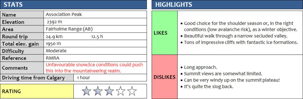
Once seen as a rather obscure and out-of-the-way minor summit, Association Peak has been getting more and more popular over the last few years and is now frequently combined with a traverse over to End Mountain. Richard and I were looking for a good winter scramble, and as part of my quest to climb all mountains I can see from my balcony in Calgary, Association Peak nicely fit the bill at this time of the year.
Although it was quite cold in the morning when we left the Yamnuska parking lot (a chilly -19°C), we were never really cold after that all day because we were constantly moving and the sun and bright blue skies provided extra heat through the reflection off the snow. We probably could’ve picked a more efficient route, but confusion over all the cutlines in the area by other parties had us opt for the straightforward approach, namely to follow any existing paths for as long as possible. After coming down the north side of the Yamnuska shoulder we hit the creek in the CMC valley that was mostly frozen over. On the other side of the creek we turned right and followed an obvious path that runs parallel to the creek, but it soon disintegrated into a mess of ice and frozen-over puddles mixed with fallen trees, so we decided to head up the bank to our left towards the NE trying to find the path that runs N-S over the Wendell shoulder. After some light bushwhacking we eventually found the path, which quickly led us over the shoulder and into the valley between Association Peak and Wendell Mountain. The snow cover was about 10-20 cm on the trails, which made it easy on the knees and allowed for quick downhill “sliding”; however, hiking on flat sections and uphill proved to be slow and energy-draining.
We left the path near an open forest meadow, just before reaching Old Fort Creek, heading left (west) in order to shortcut through light bush to a small valley on the south side of Association Peak. Old Fort Creek was partially frozen over, but water levels were generally low and it was easy to find a spot to rock-hop over it. The drainage that leads out of this southerly valley is initially quite narrow, and walking on snow or ice-covered boulders with the occasional deadfall was tiring and slowed us down quite a bit. But things soon got interesting, where the valley narrowed even further to a canyon: beautiful rock cliffs, a large frozen waterfall, and a gully floor that was now completely covered in ice and topped with a layer of snow, with water gurgling underneath it. Several steep cliffs were easily climbed or circumvented, but we wanted to have some fun so we decided to scramble most of them :). Higher up, a series of imposing cliff bands threatened to hinder our progress: there were lots of them, from a few metres to 10-15 m in height, and many had frozen waterfalls and spiky icicles hanging off them that looked like they were just waiting to attack us. It felt a bit eerie but serene at the same time to be here in this quiet, isolated valley on a glorious day with blue skies and no wind at all. After some routefinding it turned out it wasn’t that hard to zig-zag through the cliff bands and we eventually topped out at the broad summit ridge that runs E-W and reached the summit shortly after. It was super windy up here and my fingers almost froze off as I was trying to hastily take some summit shots. We couldn’t find the summit register, but we probably just didn’t look hard enough as we were in a hurry to get out of this uncomfortable place.
For our return, we chose the “traditional” route, i.e. to descend into the bowl on the north side of Association (between End Mountain and Association Peak) and contour around skier’s right to get to the col between Association Hill and Peak. There was quite a bit of snow – fairly soft but supportive – that had accumulated in the gullies within this bowl and these “snow chutes” provided a relatively quick way down. You just had to be careful not to come too close to ice-covered cliffs and overhangs, but overall I found this route to be much more efficient than the valley south of Association that we had used for our ascent. That valley is arguably more scenic and offers more varied terrain, but seems it involves a lot more work and time (for both ascent and descent) than the northern bowl.
A wide forest road/ATV track that was in great condition took us from the col by Association Hill back in the direction of Old Fort Creek… but only about half way! Annoyingly, this road just ended in the middle of nowhere and we had to enter the forest again to try to find one of the other paths that apparently exist in the area (a good trail runs from the col straight down the lowest part of the valley). We hiked through the forest for quite a while (the snow cover didn’t help when trying to make out any path) and eventually ended up at Old Fort Creek again and linked up with our footsteps from the morning along the path over the Wendell shoulder. By this time I was quite exhausted… clearly the lack of winter scrambling for me this season was taking its toll! But a nice break with some much needed energy refueling did the trick and after almost 13 hours we arrived back at the Yamnuska parking lot in the dark with our headlamps on.
This is a great winter outing, despite the long approach and draining ups and downs. It never ceases to amaze me how only an hour’s drive away from Calgary you can end up in complete wilderness after a few hours of hiking.
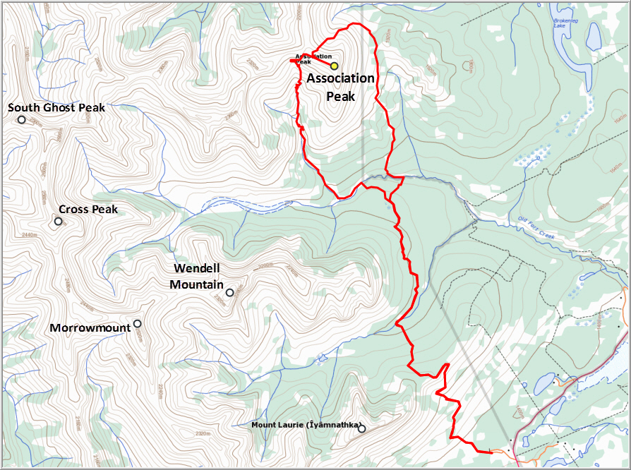
DISCLAIMER: Use at your own risk for general guidance only! Do not follow this GPX track blindly but use your own judgement in assessing terrain and choosing the safest route.
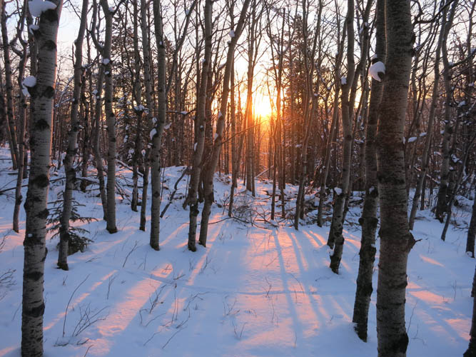
Sunrise on our early morning hike up the Yamnuska shoulder.
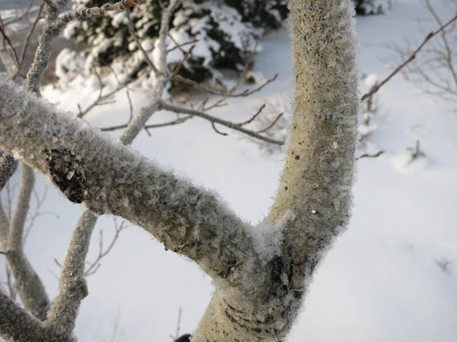
Frosted trees.

This is where we turned right to descend into the CMC Valley. Mount Yamnuska in the background.
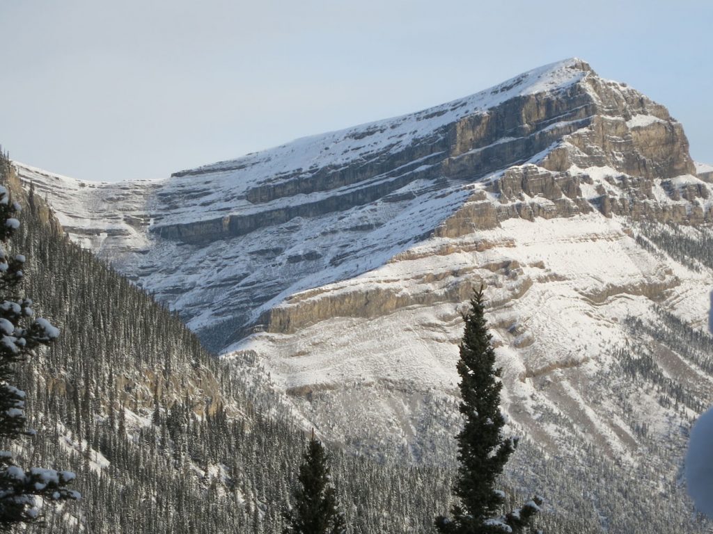
First glimpse of Association Peak. The east face is really steep!
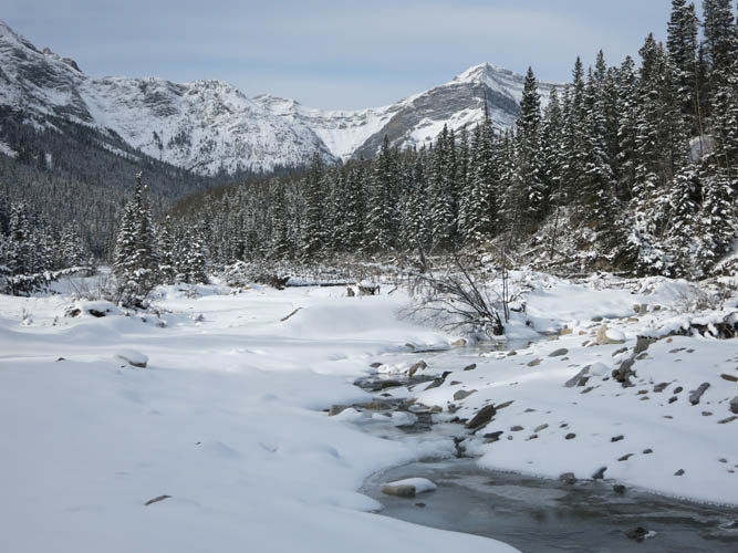
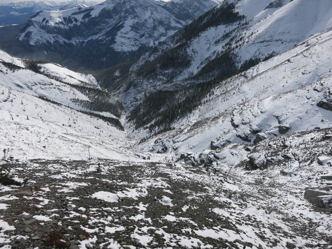
The CMC Valley. Morrowmount can be seen in the back on the right.
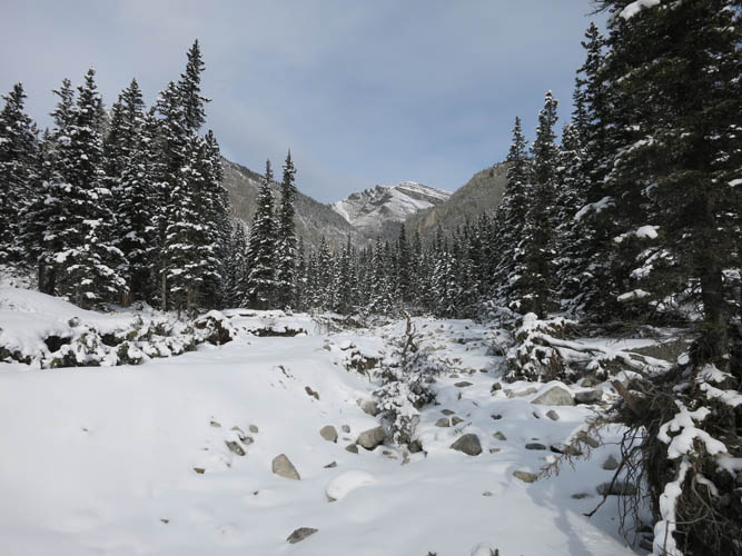
The start of the south valley.
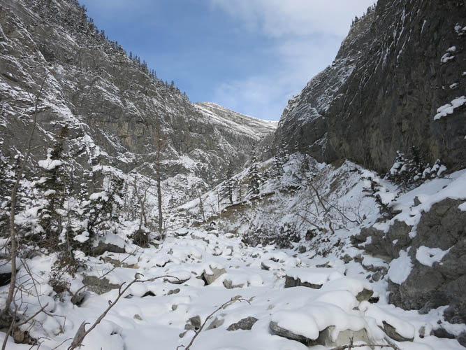
Plenty of large boulders and some deadfall at the beginning.
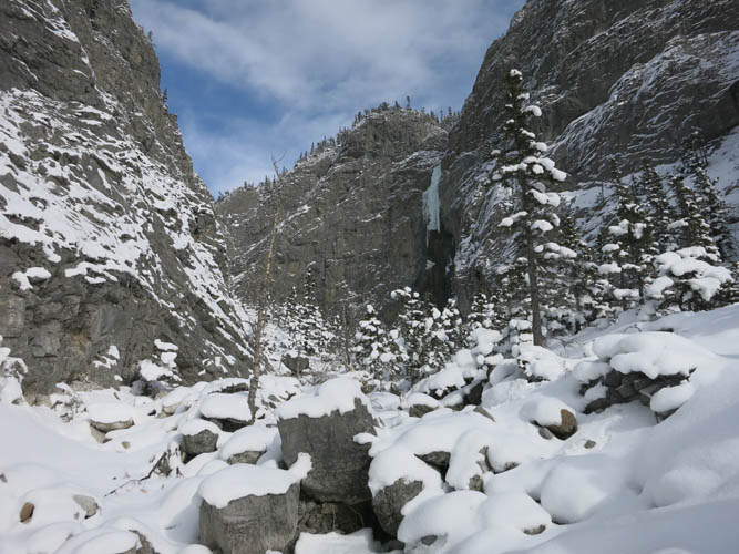
Frozen waterfalls are starting to appear on the steep walls of the canyon-like valley.
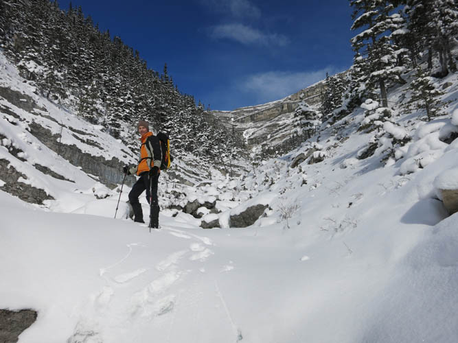
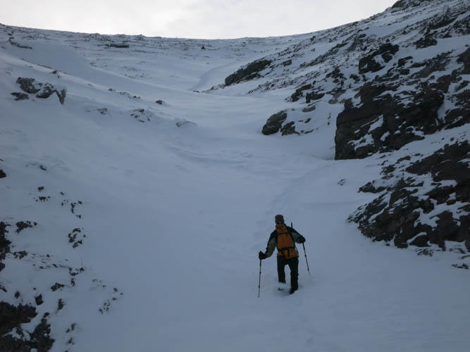
The snow makes hiking up the frozen creek much easier.
Steep walls on both sides make for a great backdrop.
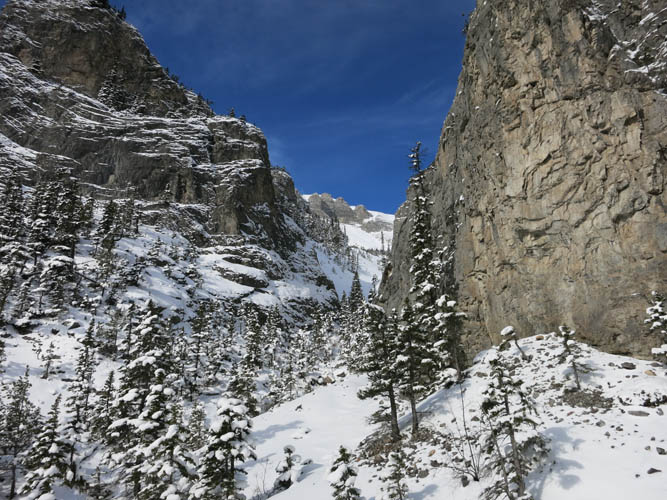
Eventually, the valley opens up. A series of staircase cliffs await at the end.
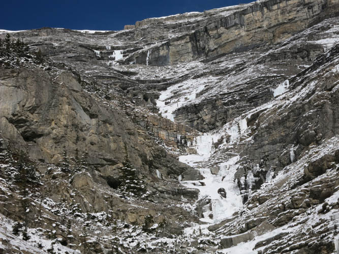
Close-up of the cliffbands. It looks more difficult than it is. They can all be circumvented.
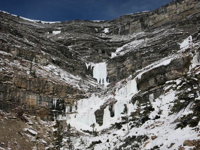
Lots of frozen waterfalls here.
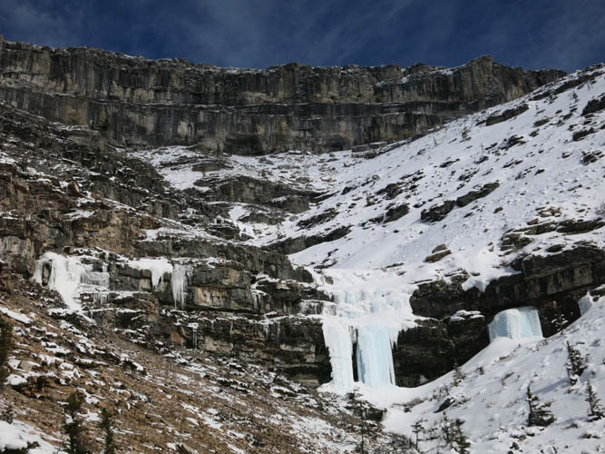
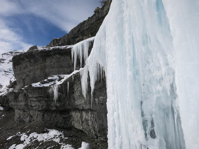
The frozen waterfalls hang off the cliffbands like curtains.
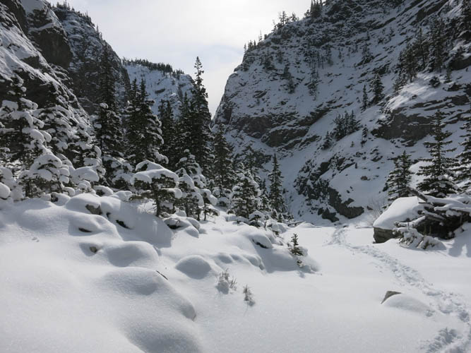
View back down the south valley from higher up.
Rock and ice.
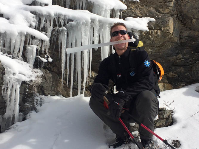
My ice flute 🙂
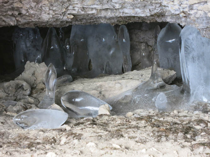
Cool ice formations in a small cave.
Almost on top of the summit ridge.

The wide summit ridge of Association Peak.
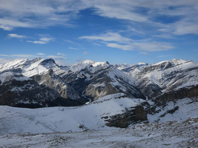
Summit view to the north: End Mountain is in the lower central part of the photo; Saddle Peak (L) and Orient Point (R) are on the horizon.
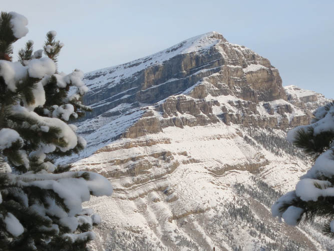
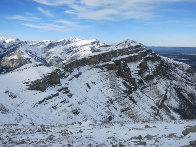
To the south, Mount Yamnuska’s northern slopes can be seen quite well. The East Peak of Wendell is in the foreground.
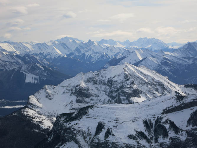
A long ridge connects Association Peak to End Mountain.
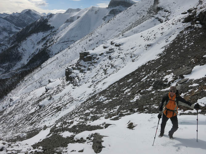
Step plunging in soft snow down the eastern slopes.
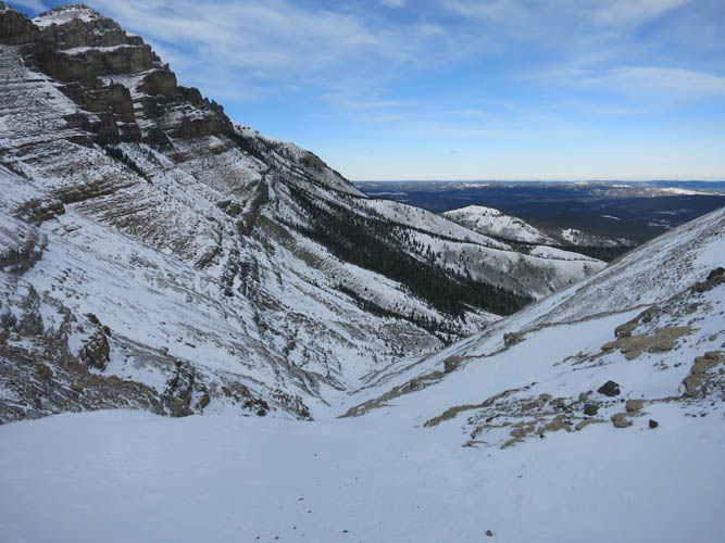
The bowl on the eastern side between Association and End Mountain. The terrain is generally easy, but sudden cliff bands do pop up here and there so caution is advised.