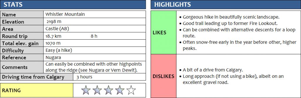
10 May 2017
With Wen
This is one of my favourite easy hikes in the Castle area so far! There was still quite a bit of snow on most other peaks in the area, so we decided to go for a lower-elevation objective to make sure we would avoid any potential postholing problems (like the dreadful snow-ploughing we had to do on Hat Mountain a week earlier).
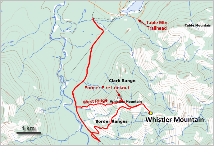
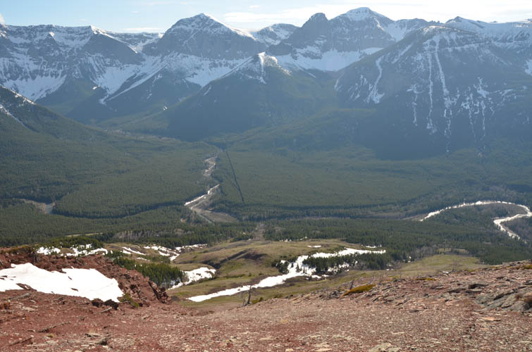
The description for Whistler Mountain in Nugara’s book is pretty spot on. The creek at the parking area would’ve probably been ok and shallow enough to cross with our Honda CR-V, but we were wary about the increasing snow melt during the day and decided to walk the approach instead. After crossing the creek on a fallen tree trunk, it’s a fairly boring 5.3 km trudge to the fire lookout trail. Next time I would definitely bring a bike to do this as the gravel road is in pretty good shape most of the way.
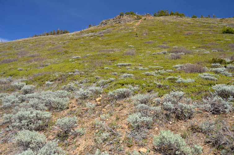
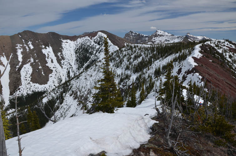
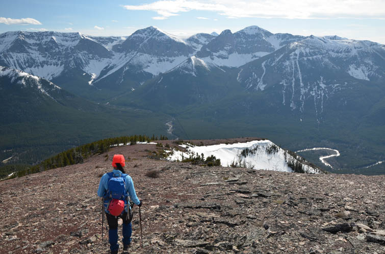
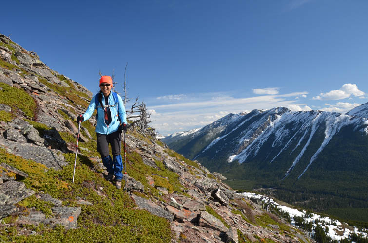
The start of the trail up to the former fire lookout was hard to find and we first missed it and went a few hundred metres too far to a creek (this one doesn’t look crossable by SUV). Once we found it, we built a small cairn and headed up. It’s a few switchbacks through overgrown alders until you come out on an open grassy slope. I could imagine that in the height of summer the flourishing vegetation might cause some bushwhacking issues here. Higher up, the trail was surprisingly well-defined and really made for pleasant hiking. There are lots of scenic viewpoints here as well! The path continues through short stretches of forest where a few snow patches slowed our progress a bit, but it was manageable. Near the top of the ridge, the trail then veers right (east) on a slope of strikingly red, soft shale – a wondrous kind of place with sparse vegetation and wind-hammered twisted trees, the type of landscape so typical of the Castle area.
Once on top of the gentle ridge, we turned right and easily walked to the false summit, which is only 10 m lower and about 500 m away from the true summit further southeast. We had to put on gaiters to cross a short but deep patch of snow to reach the true summit. At least the gentle angle of the slope and the presence of trees meant that there was absolutely no avalanche danger on this west-facing slope.
The summit of Whistler Mountain was covered in a thick blanket of snow, which was thankfully supportive enough for us to walk on and enjoy some summit views of the surrounding ridge! If we’d had more time, we would’ve probably continued on to do a full loop ridge walk (see Vern’s Whistler Loop trip report), as most of the ridge looked bare.
Instead, we turned back and hiked over to the site of the now reclaimed fire lookout, a gorgeous viewpoint in its own right. Not wanting to retrace our exact steps down the trail, we took a chance and headed down the west ridge for descent. This worked out really well, thanks to soft red scree in the upper part and grassy but steep slopes in the lower section. The views of neighboring Barnaby Ridge, Southfork Mountain, and Lys Ridge are gorgeous here! At the bottom of the ridge we had to contend with about 50 m of light bushwhacking to get back to the gravel road – a small price to pay for an interesting loop route.
Overall this hike took us 8 hours, but we had lots of breaks and took our time to really soak in the lovely landscape that we had all to ourselves today. It feels more remote here than on neighboring Table Mountain, but of course the solitude is mostly due to the creek crossing and the 5 km gravel road approach. Although there was no scrambling involved at all today, I would recommend this trip to anyone in a heartbeat, provided the sun is out and the skies are clear.
DISCLAIMER: Use at your own risk for general guidance only! Do not follow this GPX track blindly but use your own judgement in assessing terrain and choosing the safest route.
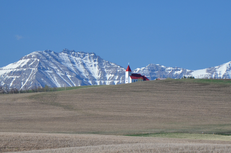
St. Henry’s Church near Twin Butte.
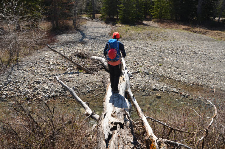
Crossing the first creek.
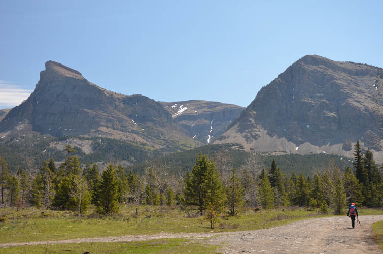
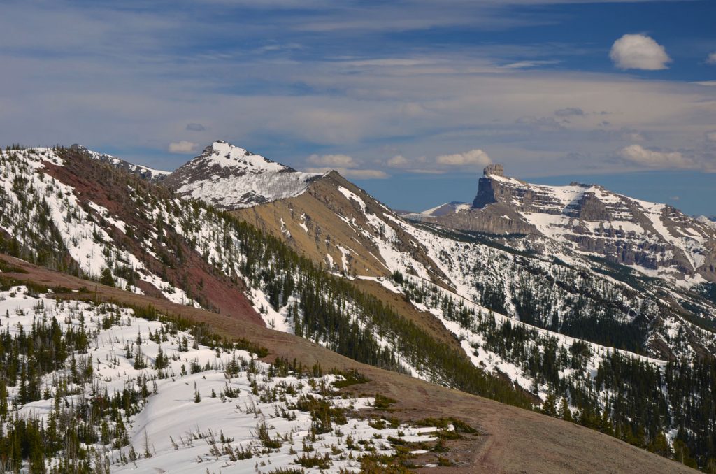
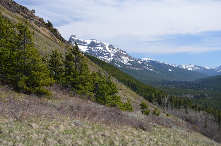
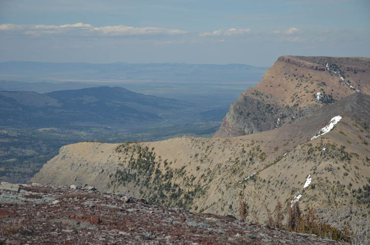
Table Mountain is on the left.
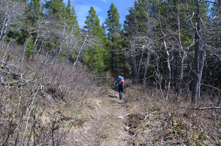
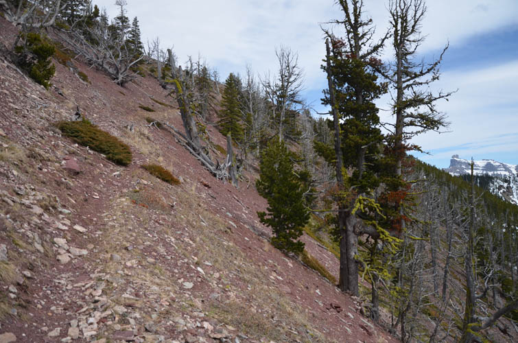
The lower part of the trail going up to the former fire lookout.
Fresh natural sage plants on the southern slopes of Whistler Mountain. Very fragrant!
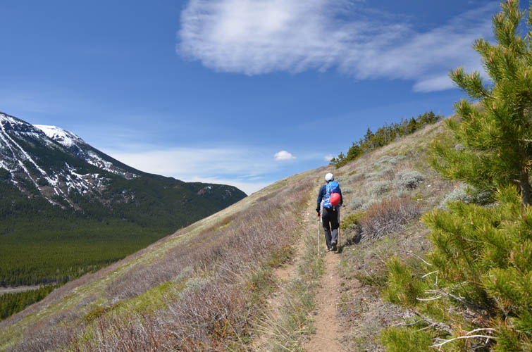
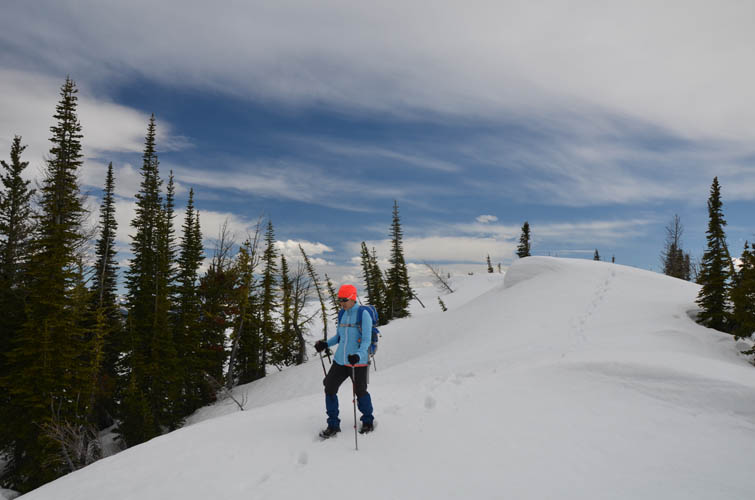
The trail is quite good most of the way.
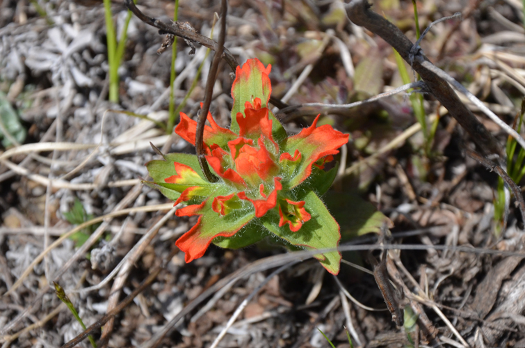
Budding Indian Paintbrush.
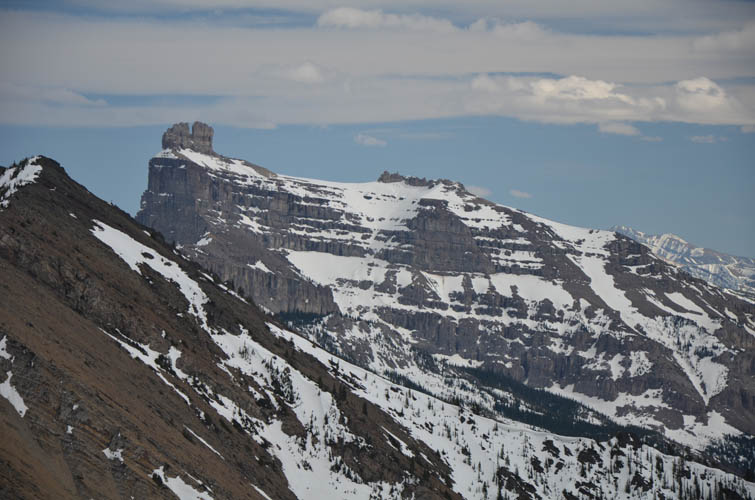
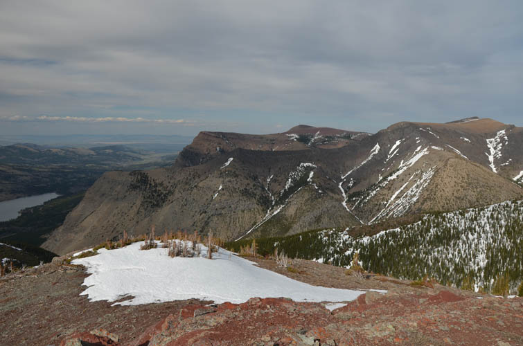
Prominent Castle Mountain dominates the view during the pleasant hike up this slope.
Red shale on the trail near the ridge top.
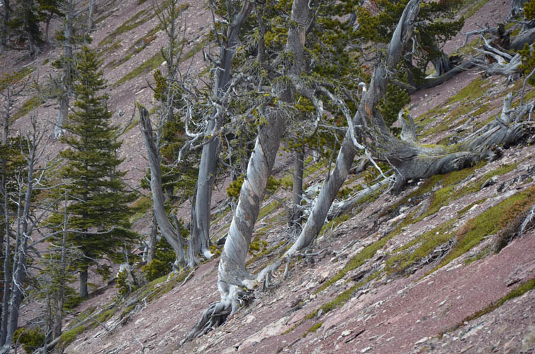
Contorted trees.

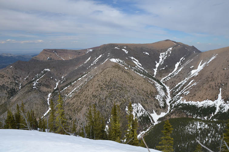
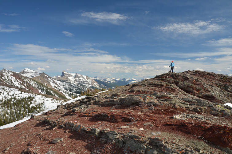
Lys Ridge.
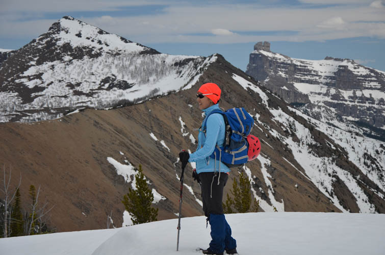
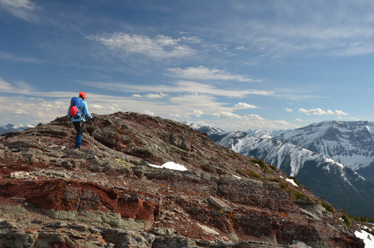
Once on the ridge, the false summit (left) and true summit (right) of Whistler Mountain aren’t far away.
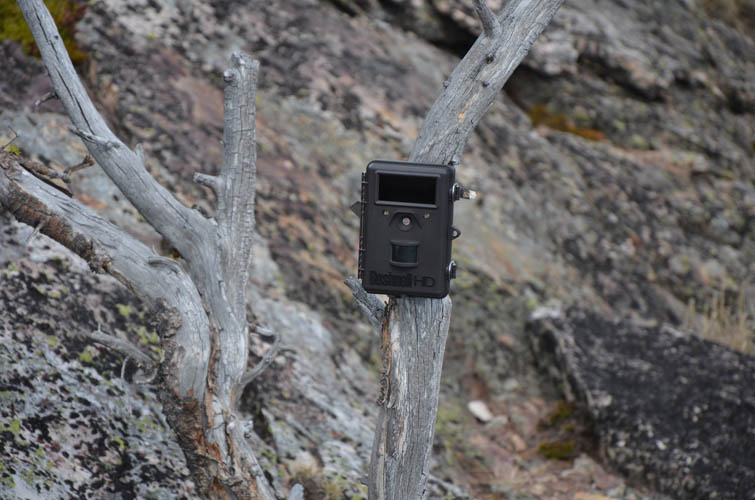
A wildlife monitoring camera near the false peak.
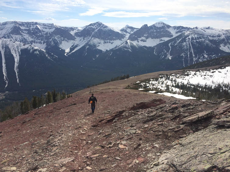
To the north are Table Mountain (background) and the Whistler Loop ridge.
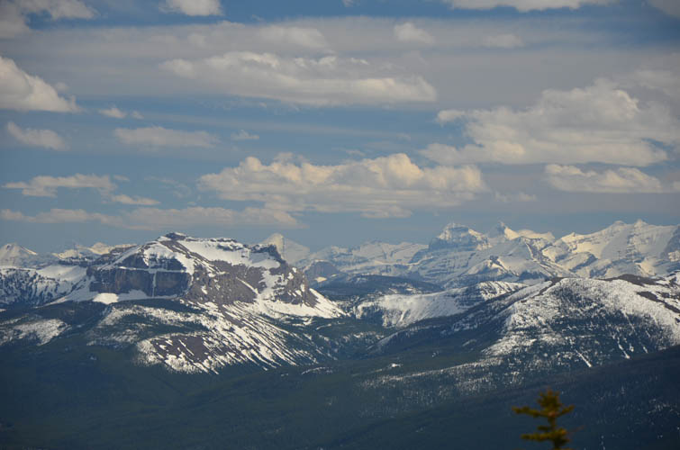
View from the false summit to the true summit (left) and the continuation of the ridge. Mount Gladstone pops up in the back centre.
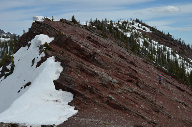
Dipping red shale beds along the ridge to the summit.
On the summit of Whistler Mountain. Castle Mountain is on the right.
What a beautiful panorama!
Can’t get enough of Castle Mountain!
Leaving the summit of Whistler Mountain on a snow bank.
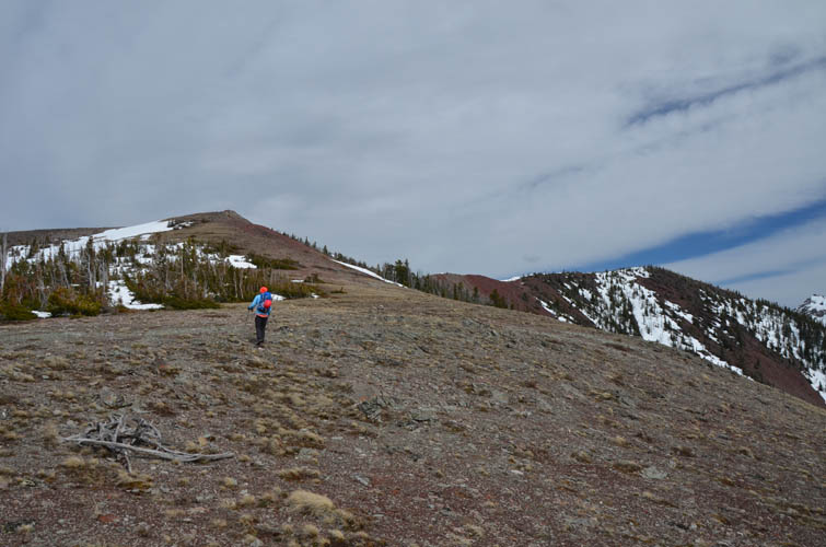
We continue along the gentle ridge towards the former fire lookout.
Looking back at the false and true summits.
The edge of Table Mountain.
In full sunlight, the colours here are just marvelous!
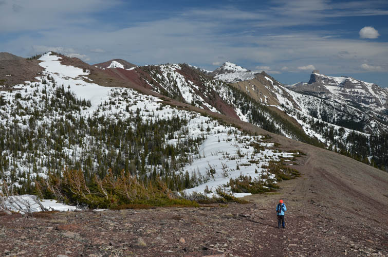
Another look at Table Mountain and the rest of the ridge to the north.
Atop the former fire lookout.
Heading down the west ridge.
Soft scree followed by grassy slopes define the descent along the west ridge. The direction to head for is towards the loop in the river on the right.
A fantastic day!