26 May 2017
With Phil
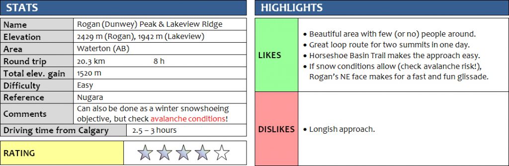
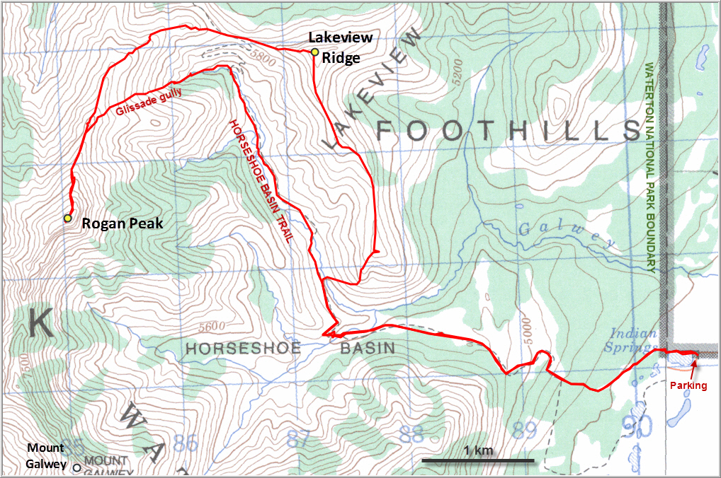
Situated between its more well-known neighbors Mount Galwey and Mount Dungarvan, Rogan Peak is an excellent Front Range outing that can be reached in a straightforward hike from Horseshoe Basin Trail. Lakeview Ridge is right along the approach, so naturally Phil and I decided to include the ridge in our trip to make it a loop route. It was a fantastic day out!
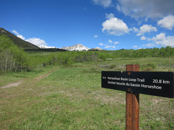
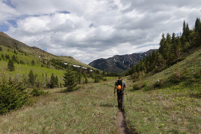
Horseshoe Basin Trail is in really good shape and is a lovely hike on its own. The trail winds its way up a gentle hill through lush, verdant foliage and pretty flower meadows before descending to Galway Creek. The water levels were just a little too high for rock hopping, although on the way back we found a spot where we didn’t have to take off our boots.
We initially wanted to hike up the very south end of Lakeview Ridge, but Phil’s sharp eyes spotted a momma bear with her two cubs lingering right on our planned ascent slopes. This is Waterton after all, and what’s Waterton without bears!? Trying to give the bear family a wide berth, we went around the left of the ridge, only to be followed by our friends, who were now right above us! We took a short break and eventually watched them disappear to our left, allowing us to head up the ridge slopes to the right.
There are some spectacular examples of ancient fossils called stromatolites along this end of Lakeview Ridge. The bulbous shape of these Precambrian algal build-ups is quite conspicuous and probably explains why the ridge in this particular place is so sharp and jagged. It doesn’t pose any problems to the hiker, however, and we easily gained the top of the ridge and then followed it north to the summit where we enjoyed a much-needed lunch with fabulous panoramic views of the entire horseshoe-shaped ridge (the eastern part of Lakeview Ridge looks equally enticing, but seems to have a few more ups and downs along it).
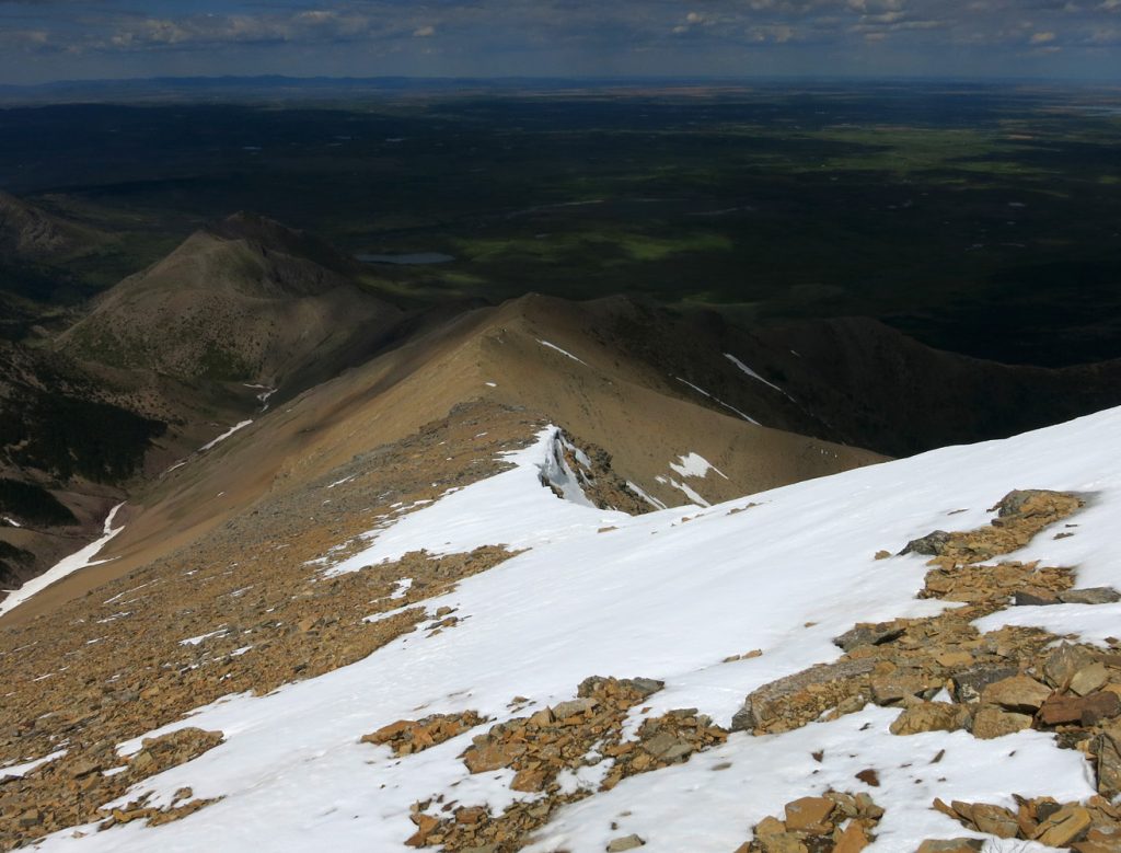
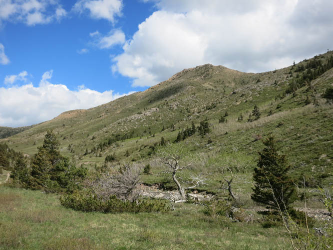
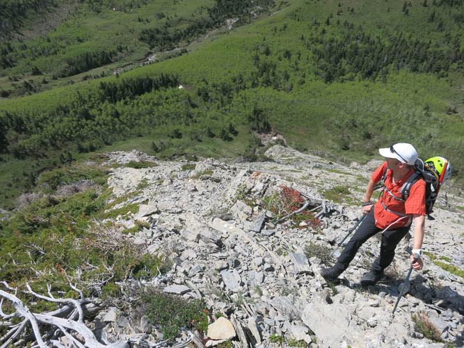
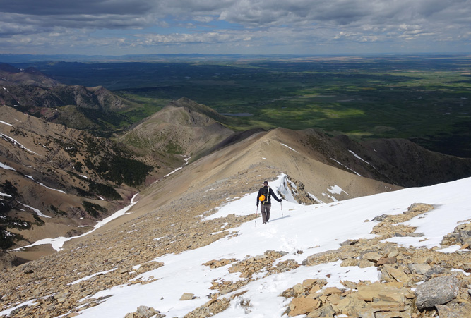
Heading west from the summit of Lakeview Ridge we encountered a few rocky sections that required some easy scrambling – the rocks are twisted and thrusted up vertically here, quite unlike the gentle terrain seen everywhere else in the area. We crossed the Horseshoe Basin Trail at the col and then hiked up a gentle ridge, which gradually turned into a steep, rocky slope half-way up the summit of Rogan Peak.
It is really quite surprising how awe-inspiring and monumental many mountains look from a distance, yet how tame they can be once you’re close up. Rogan Peak is just like that. It was literally only a walk up!
We signed the summit register as the first party of 2017 and sat down for an enjoyable second lunch, admiring the impressive Mount Dungarvan and bigger peaks in the distance. The traverse to both Dungarvan and Galway doesn’t look too difficult from here, but who knows… it might be just the opposite of how Rogan Peak seemed from a distance. There was an entry in the register of someone who had traversed over from Galway, without any mention of the level of difficulty.
Conditions were perfect today for an exciting glissade down the northeast face of Rogan. Earlier in the day when we were on Lakeview Ridge, we had spotted a long, near-continuous tongue of snow just northeast of the summit that appeared to lead all the way back down into the valley. The snow was in ideal shape: not too hard, not too soft. We hopped on and enjoyed a hilarious ride down the slide, losing several hundreds of metres of elevation in mere minutes! Down in the valley, we found some game trails that quickly linked us up with Horseshoe Basin Trail again. Sometimes, alternative descents go horribly wrong and you end up spending way more energy than retracing your steps, but the glissade today probably saved us at least an hour of hiking.
Once back on the good trail, it was an easy and thoroughly enjoyable hike back to the parking lot. Lots of loud yelling ensured that we didn’t run into any bears again, but it didn’t deter a much smaller type of creature: ticks! Phil ended up bringing two of them home as souvenirs :).
DISCLAIMER: Use at your own risk for general guidance only! Do not follow this GPX track blindly but use your own judgement in assessing terrain and choosing the safest route.
The start of Horseshoe Basin Trail. Rogan Peak in the distance.
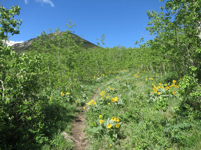
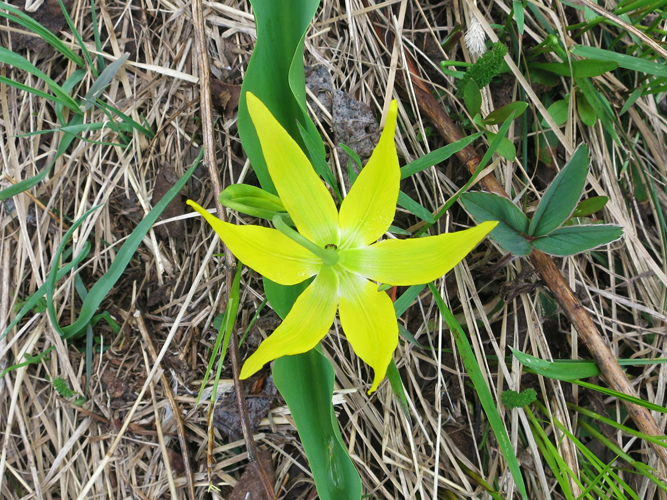
Lush vegetation and beautiful flowers along the trail.
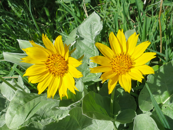
Not sure what this is – possibly Wild Gaillardia?
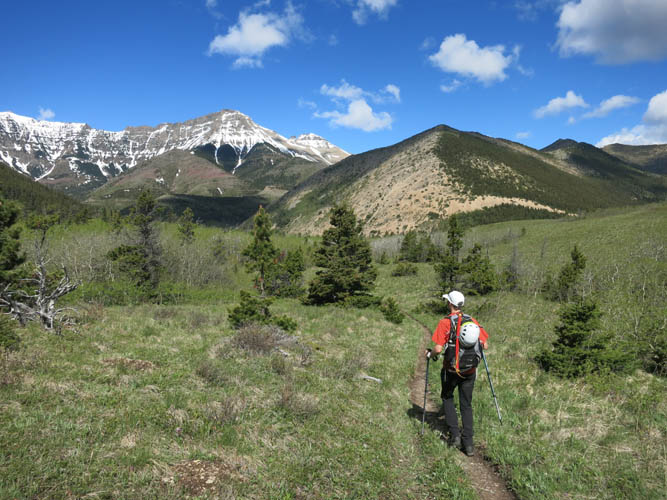
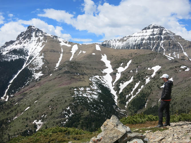
Approaching Lakeview Ridge (right above Phil), with Rogan Peak to the left.
The SW slopes of Lakeview Ridge.
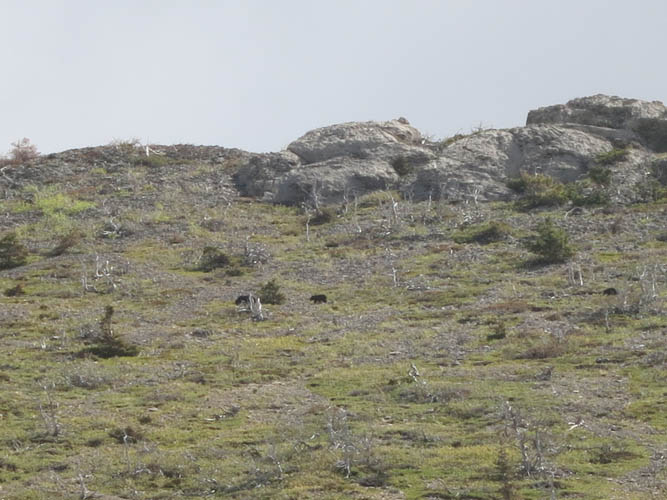
The mother bear with her two cubs traversing the slopes above us.
It’s a slog to get up the ridge, but at least there’s no bush and the terrain is wide open!
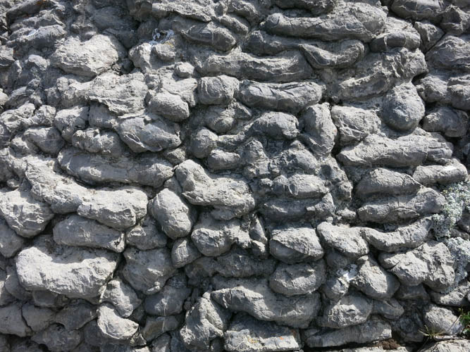
Bulbous stromatolites.
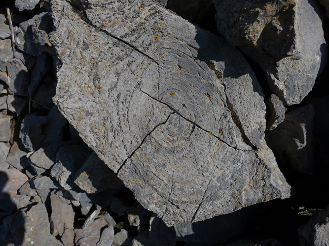
A nice cross section of one of the stromatolites. It measures about 15-20 cm across.
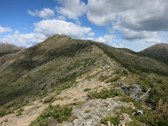
Surprisingly, there is no trail along this part of the ridge.
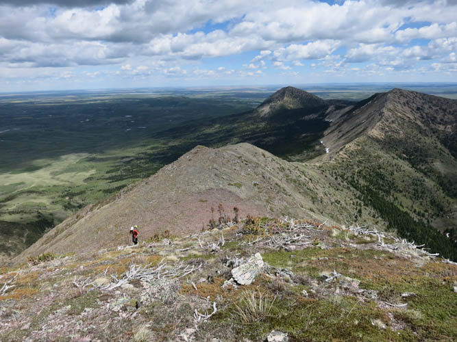
Looking back along the ridge. Bellevue Hill in the background.
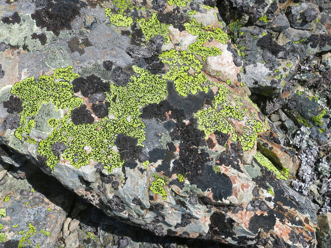
I find the colours and patterns of lichen on rock fascinating.
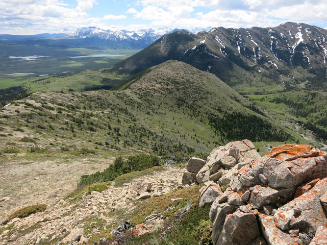
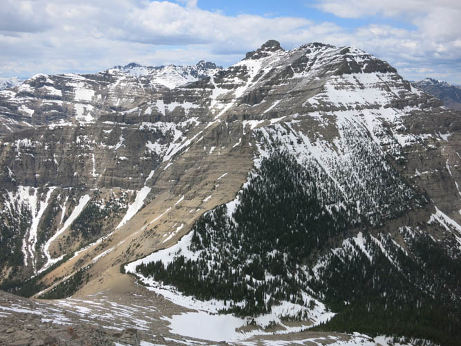
A look at the eastern part of Lakeview Ridge from the summit.
Mount Dungarvan (R) and Rogan Peak (L) from Lakeview Ridge. In the middle is the long, straight snow slope we used for descent.
Hiking up the NE ridges of Rogan Peak.
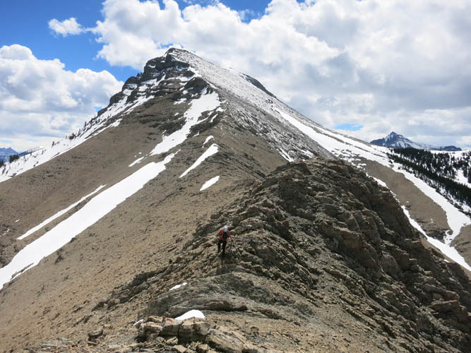
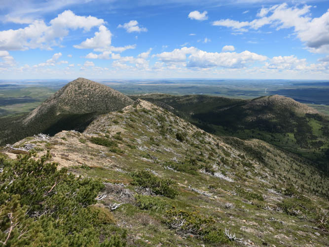
There are a few rocky knobs and bumps on the way to Rogan Peak that offer some scrambling opportunities, but it’s very limited.
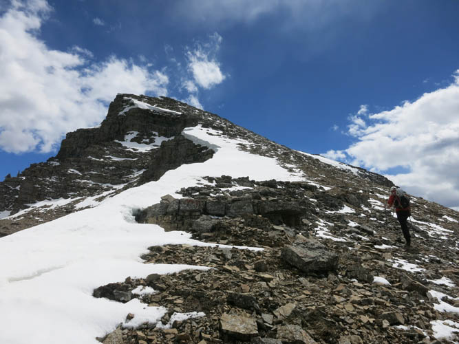
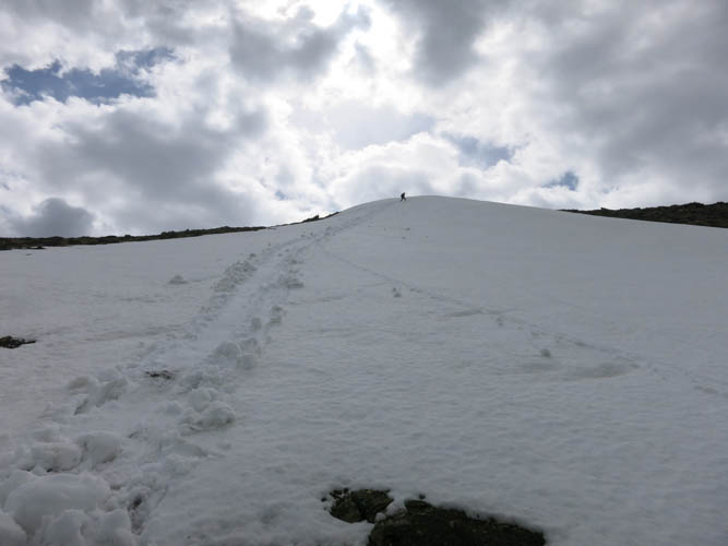
It’s almost a hands-in-pockets walk up to the summit of Rogan.
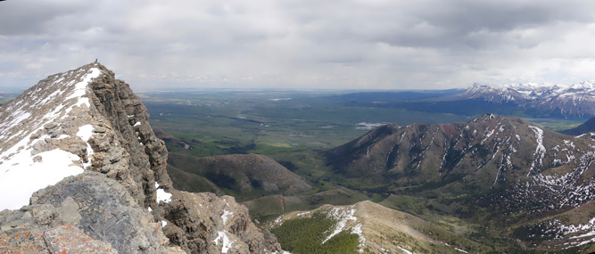
Mount Dungarvan looks impressive from Rogan Peak’s summit – a traverse seems possible but probably requires lots of route finding.
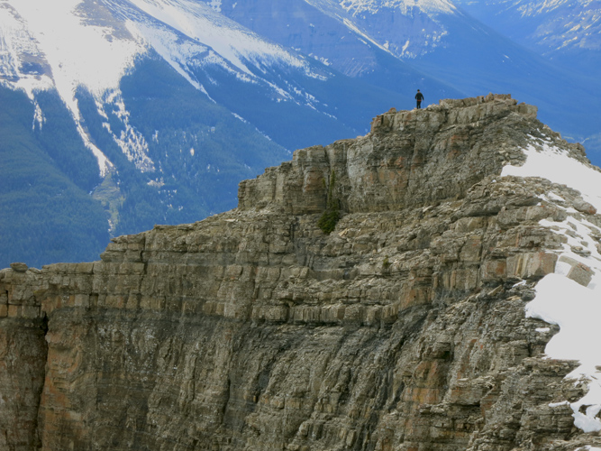
Phil exploring a nearby viewpoint.
Phil took this shot of me standing on the summit of Rogan Peak from the viewpoint in the previous picture.
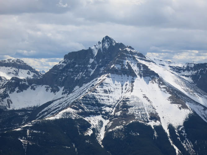
Mount Blakiston
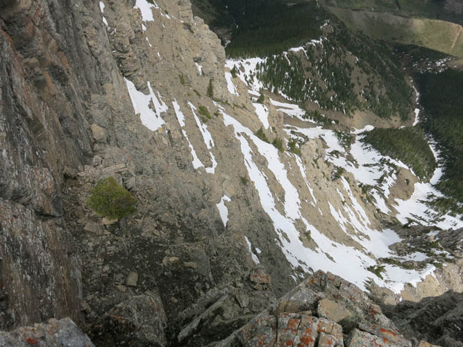
There is a huge drop-off on the east side of the summit.
Heading back down as dark clouds start to gather above us (photo by Phil).
Time for a fun glissade!
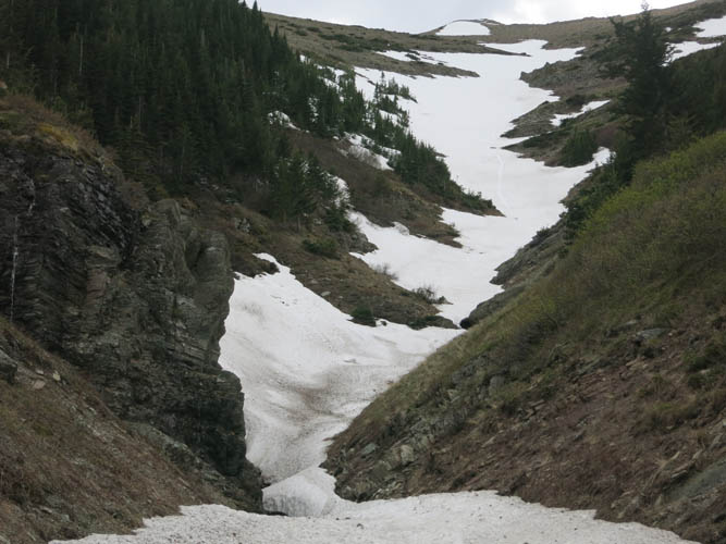
A look back at our snow-filled descent gully.
Back on lovely Horseshoe Basin Trail (photo by Phil).
Lots of yellow flowers at this time of the year.
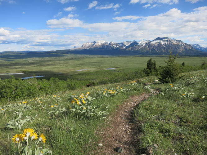
Vimy Peak (L) and Sofa Mountain (L) appear on the horizon as we descend back into the plains.