13 November 2017
Solo
Locally also known as “Pecúla”, Santo Tomás is one of the less frequently visited volcanoes in the vicinity of Quetzaltenango. I saw group hikes offered by a tour agency in the city, but when I did the hike I didn’t see a soul all day!
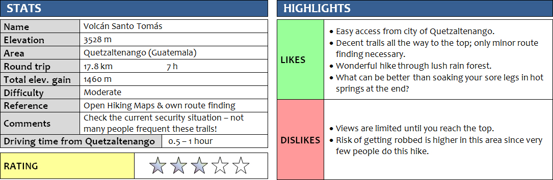
To save time getting to the trailhead, and since I didn’t get up particularly early that day, I decided to take a private taxi directly to Fuentes Georginas (half an hour, ca. Q100 = US$14), where hot springs with several pools in a beautiful natural setting are located (admission Q60 = US$8.5). A decent trail starts right behind the pools, which were still mostly empty when I arrived mid-morning. The trail is very steep at the beginning, then levels out along a ridge, after which it rises again and then loops around to the saddle between Pico Zunil and Santo Tomás. It was quite pleasant to hike through the rain forest, which is lush and dense here and gives you a true jungle feeling. I could hear the exotic twitter of birds, but didn’t see any – with the exception of a horned guan (pavo de cacho in Spanish, a type of wild turkey) on my way back. The path is slightly overgrown in places and seems to be in moderate use. Having a GPX track of the route definitely helped me at a couple of intersections where it’s not clear where to go.
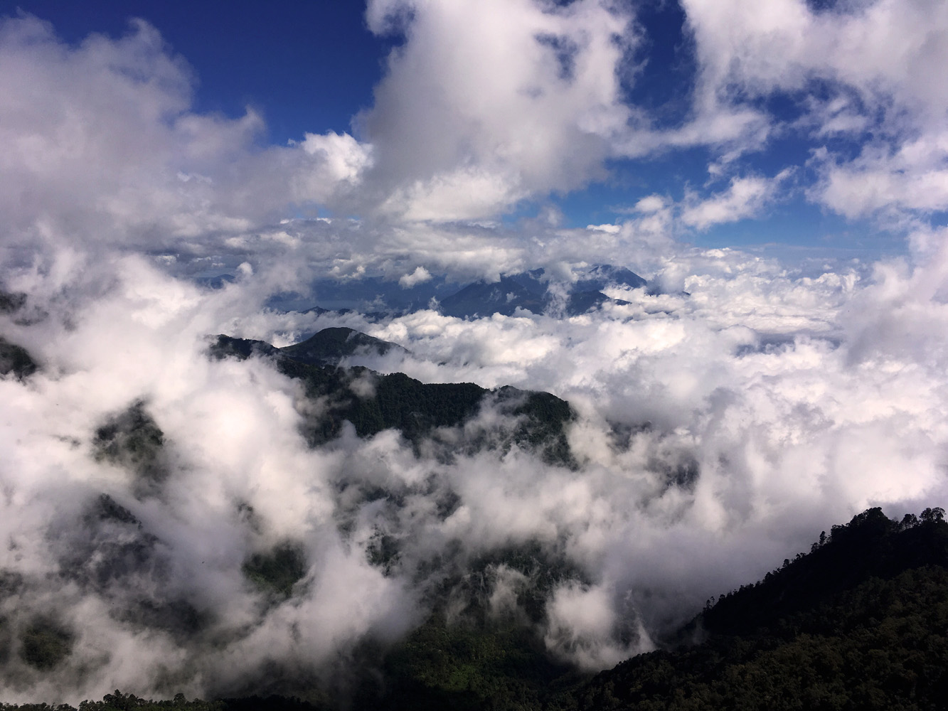
At the saddle the trail splits – left turn is to Pico Zunil, right turn to Santo Tomás (there’s also a smaller trail that goes down the other side of the saddle). There were quite a few ups and downs along the way, and this combined with the distance (9 km one-way) make for a strenuous day. I had to duck and dodge the trees and bushes a lot higher up on the trail, where it’s more overgrown and in less use, which led to quite a few scratches and bruises when I bumped into hidden stumps and brushed past thorny branches. There were also a number of exposed sections where the trail has been damaged by wash-outs or fallen trees, requiring careful tiptoeing on narrow muddy ledges. Near the end of the ridge a lovely meadow opened up with some really big bushes of long grass. The path then went uphill through light pine forest to the true summit (unmarked and forested), with lots of “Cumbre” signs (= summit) along this stretch although these are completely unnecessary. I continued a few hundred metres further south to the de facto summit which – though slightly lower in elevation – offers far superior views and has a cross and improvised shelter. Unfortunately, there’s also a lot of garbage here left by previous inconsiderate visitors. Gorgeous vistas include nearby Santa Maria volcano (the active, mud and gas spewing Santiaguito was completely covered in clouds) and even as far as Lake Atitlán and the distant volcanoes Atitlán, Tolimán and San Pedro. Pico Zunil was mostly shrouded in clouds.
I was happy to have the whole day to myself in this magnificent piece of nature with its dense jungle, lovely meadows and alpine pine forests. Overall, the hike is of moderate difficulty and no scrambling is involved, however it’s quite a long trip and all the ups and downs can be a bit draining. About 90% of the trip is in the forest with no or very limited views. Pico Zunil can also be added on but this required at least an extra 2 hours that I didn’t have as the sun was going down soon. I was back at the saddle/junction at 4:30 pm, so with only 1.5 hours of daylight left I decided to head back and soak in the hot springs instead – a sweet reward and very soothing on those jungle-battered muscles at the end of a long hike!
DISCLAIMER: Use at your own risk for general guidance only! Do not follow this GPX track blindly but use your own judgement in assessing terrain and choosing the safest route.
Note: Unfortunately, my camera broke on the first day of my trip so I had to take all photos with my iPhone.
On my drive up to the hot springs in the morning I catch a glimpse of the mighty Santa Maria volcano to the west.
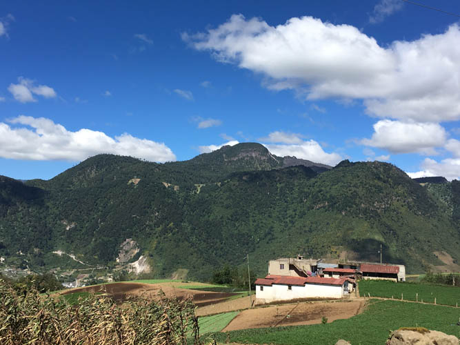
This is Almolonga, the closest volcano to Quetzaltenango.
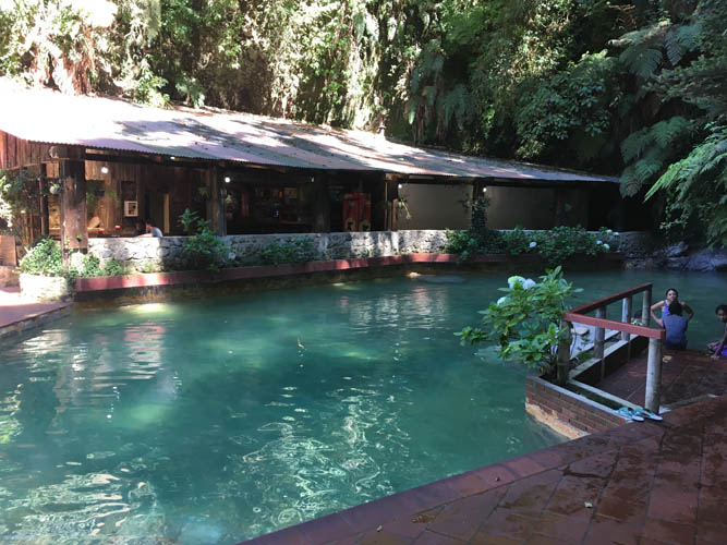
Fuentes Georginas hot springs.
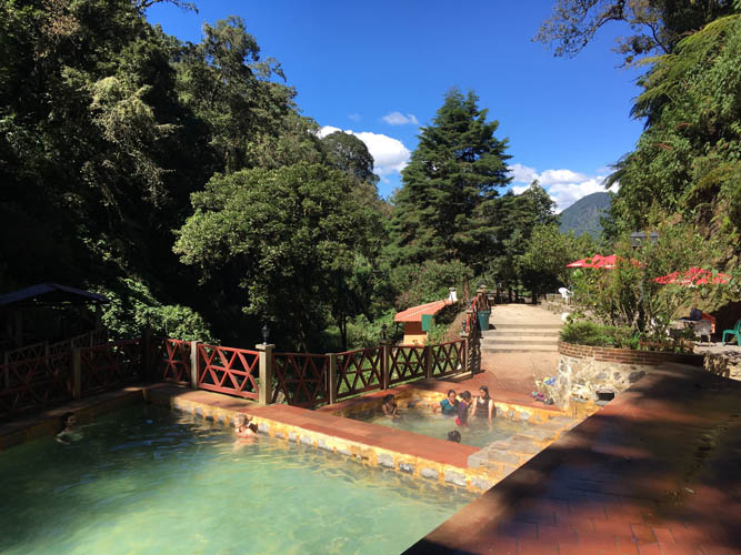
Ideal for a relaxing soak after a strenuous hike!
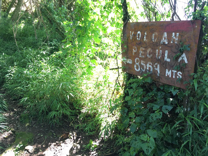
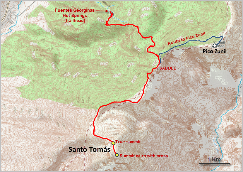
It’s quite a distance to the top of Santo Tomás, locally also called “Volcán Pecúla”.
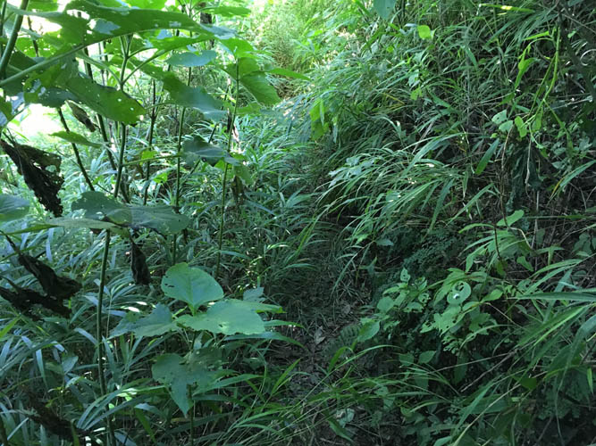
The trail is pretty overgrown at the beginning.

Thick, lush rain forest.
The trail through the forest is decent, but not well-trodden. Most suitable for short people!
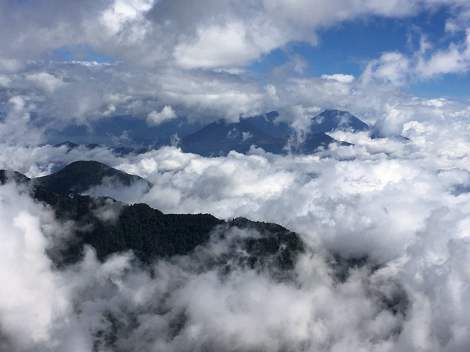
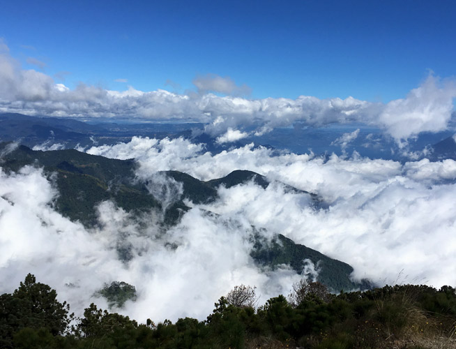
My first proper views to the east. Atitlán, Tolimán and San Pedro show up in the distance.
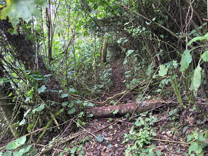
Typical trail along the ridge leading south from the saddle.
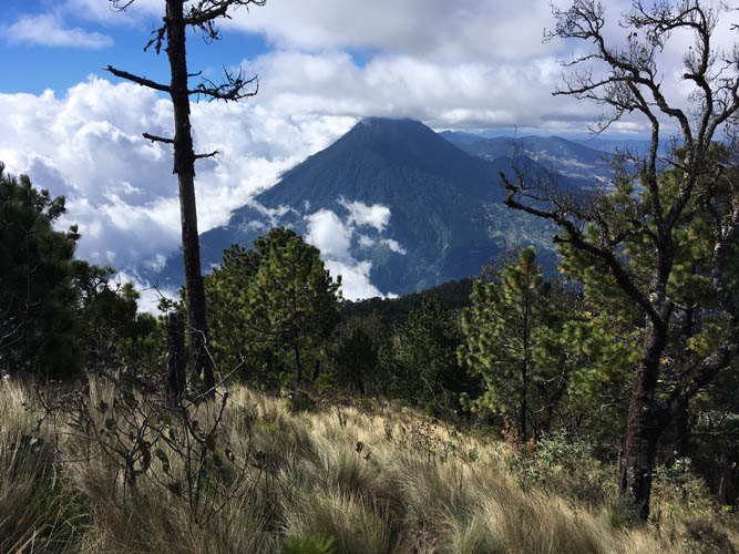
The final climb is through a grassy hillside with pine trees. Santa Maria volcano in the background.
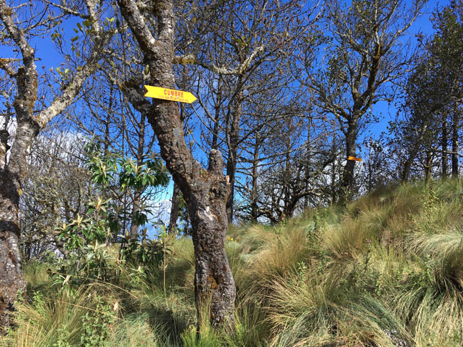
Lots of “cumbre” signs here pointing the way to the summit!
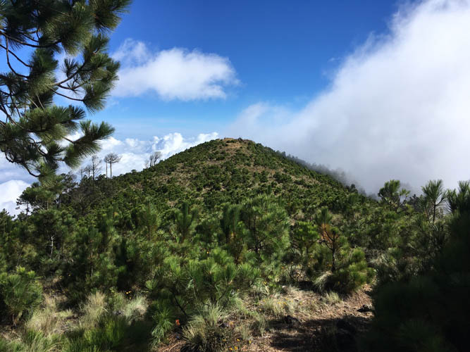
From the true summit at 3528 m (in the trees), it’s another km or so to the summit cross.
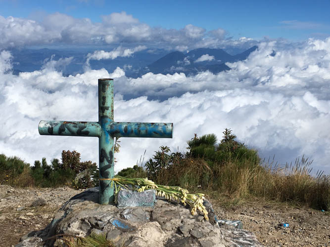
On the summit of Santo Tomás.
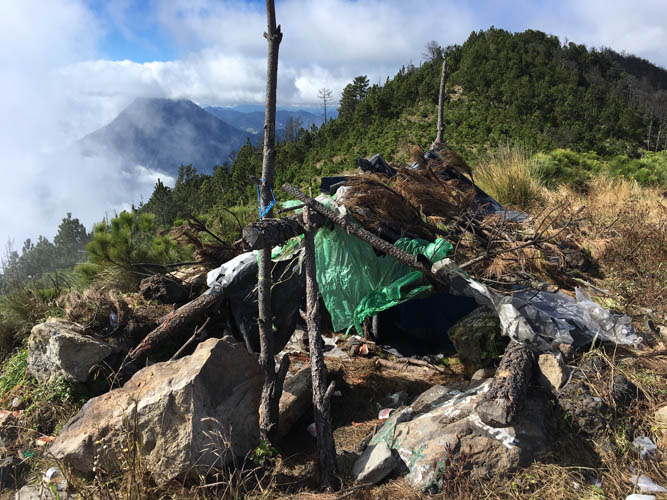
An improvised shelter – some people camp here for the night.
Fantastic views.
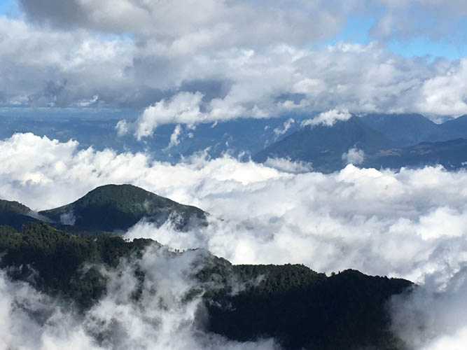
Just right of centre in the distance is San Pedro, a popular volcano hike on the south side of Lake Atitlán.
Sanguitito, an active cinder cone, hides behind its own dark swathes of volcanic dust on the left, while rain clouds hover over Santa Maria on the right.
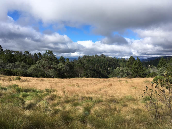
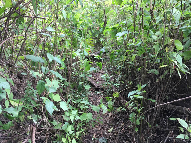
On my way back, I cross an isolated meadow covered in long grass.
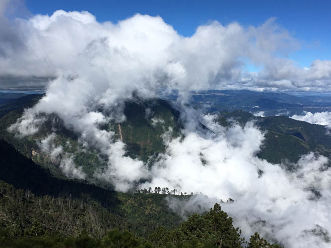
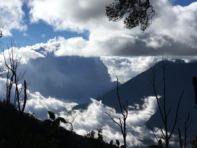
Occasionally, views of neighboring Pico Zunil open up. Too bad its summit is obscured by clouds today.
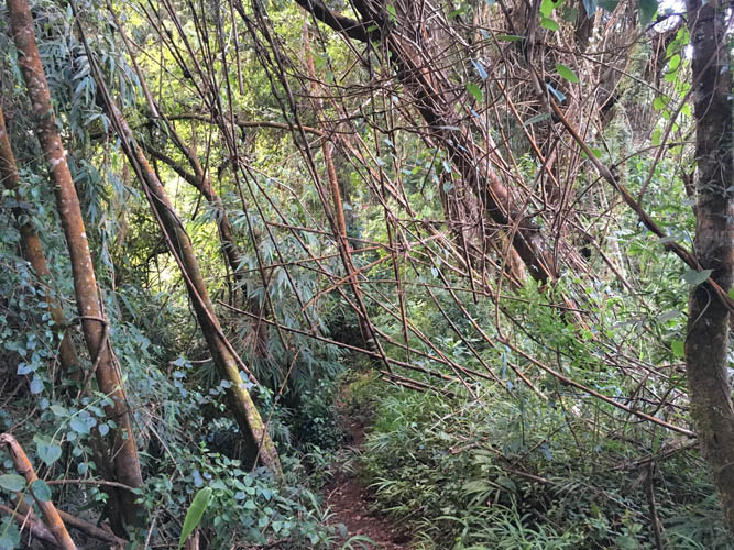
A neat patch of bamboo forest.
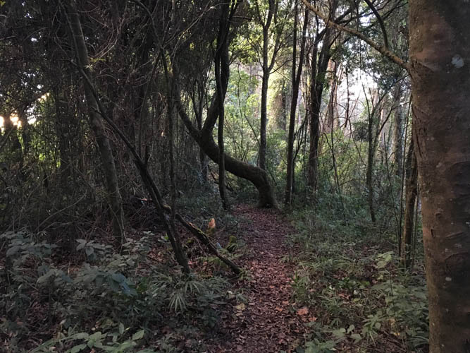
Darkness descends quickly in these latitudes… especially when you’re in the forest. It’s 5 pm now and I have half an hour to go… can’t wait to take a dip in those hot springs!