Pyrenees, Spain
7 June 2018
Solo
La Tosa is better known for its ski slopes and the restaurant near the top than for its hiking possibilities. The broad, dome-shaped summit is bustling with skiers and snowboarders in the winter months, while in early summer the bare, grassy slopes are pretty much deserted.
Once again the weather didn’t play along today and I was mostly in the clouds on this solo hike. Never mind, it was still a beautiful nature experience and a great workout!
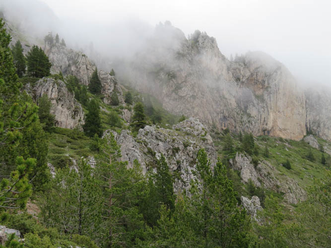
The most memorably part of this loop hike is the steep ascent through precipitous cliffs that look impossible to penetrate from a distance. However, the trail here is excellent and elegantly zig-zags its way through rocky outcrops, gullies, and past vertical rock walls. There must be tons of rock climbing opportunities here, most of it looks like pretty solid limestone with lots of flat, open faces.
When I reached the main ridge above the cliffs, I felt pretty breathless – but the main work was done. What followed was a pretty eerie hike through dense clouds wafting in and out of the trees. Contrary to what one could assume by looking at a map, this is not a proper ridge walk per se. This is because the trail doesn’t follow the crest but hugs the northern side of the ridge so even without any clouds there’d be (almost) no opportunity to look down the south side.
Breaking out of the trees, the trail contours around a minor peak called Puig de la Canal Freda. The summit was only some 30-40 elevation metres above the path, so I decided to take this little detour across grass and rock chunks to reach the top. A short and easy scramble down the east side of the ridge crest took me back to the trail. I was pelted by a cold rain shower, which turned into hail higher up on the last stretch up the featureless slopes to the summit of La Tosa.
Miserable grey clouds once again denied me any decent summit views as I stood there in the rain, seemingly the only soul around. But I was in luck: the restaurant, called Niu d’Aliga (eagle’s nest), was actually open. Rodrigo, the friendly Uruguayan caretaker, happily invited me to join him on the couch so we could chat and I could warm up my wet clothes in front of the fire place. It’s a pretty big place and felt kind of strange with no people in it, but it’s open year-round. June is super-low season and I was told that it gets pretty busy in July and August. December to April is high season when things are crazy busy with droves of winter enthusiasts eating and sleeping here.
After a good hour’s rest, the sun suddenly showed up outside so I went on my way. The remainder of the hike was really stress-free: the path follows the open rounded ridge towards the east and south, first across a couple of minor bumps, then gradually descends to the west into the trees and back to the parking lot near the Refugi de Rebost hut. The trail was in great shape all the way despite being wet. For the descent this is definitely easier than hiking down the steep path through the cliffs, so I was quite happy with my choice of a clockwise loop.
DISCLAIMER: Use at your own risk for general guidance only! Do not follow this GPX track blindly but use your own judgement in assessing terrain and choosing the safest route.
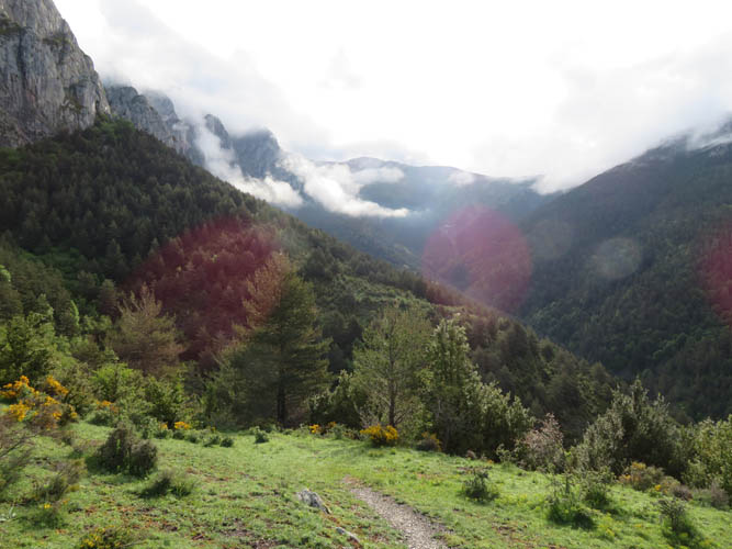
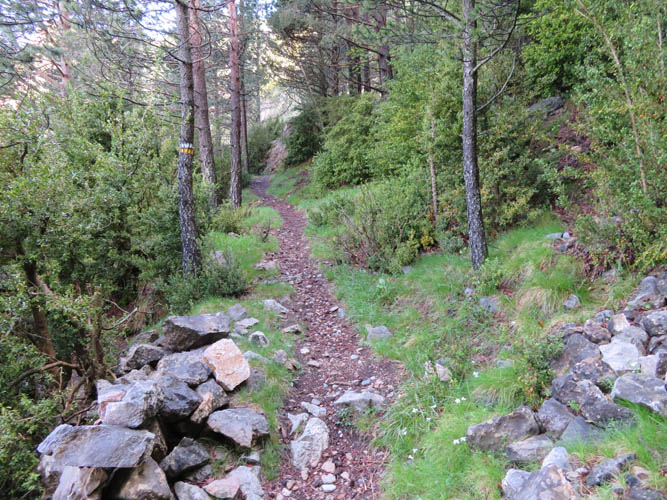
First morning view from the trail down the valley.
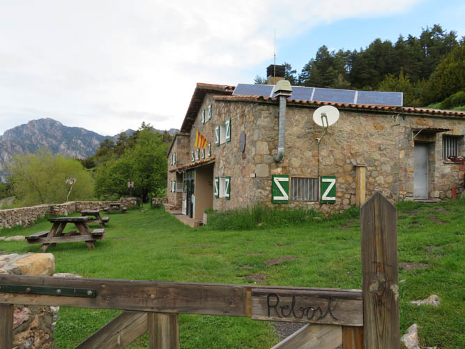
The Rebost refuge – “Refugi de Rebost”.
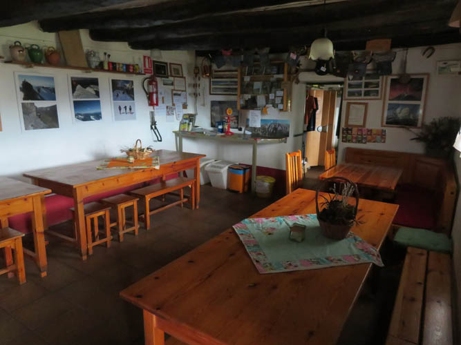
Looks pretty comfortable inside. It’s 19 Euros a night, breakfast costs 7 Euros. At the time I visited it was pretty much empty.
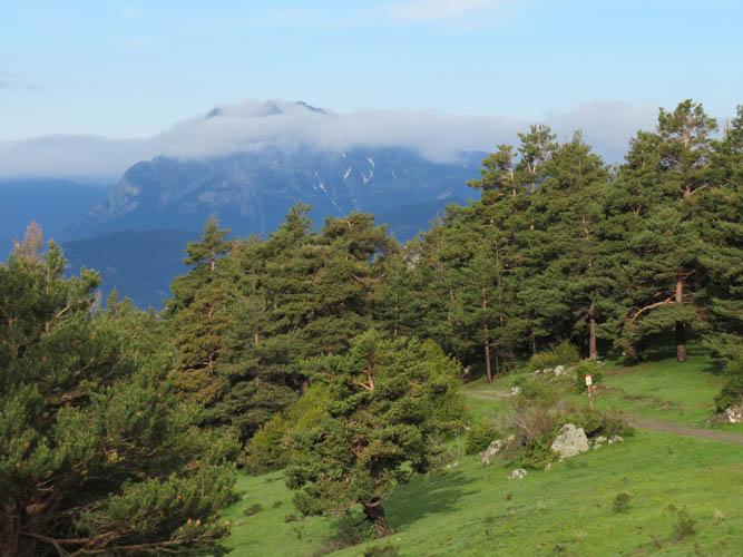
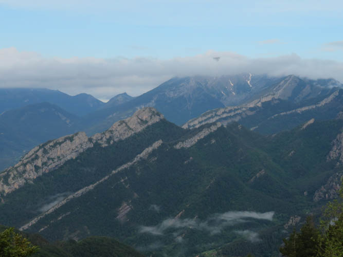
Pedraforca catches the clouds in the distance.

Another shot while the sun is still out.
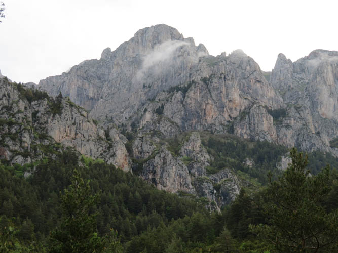
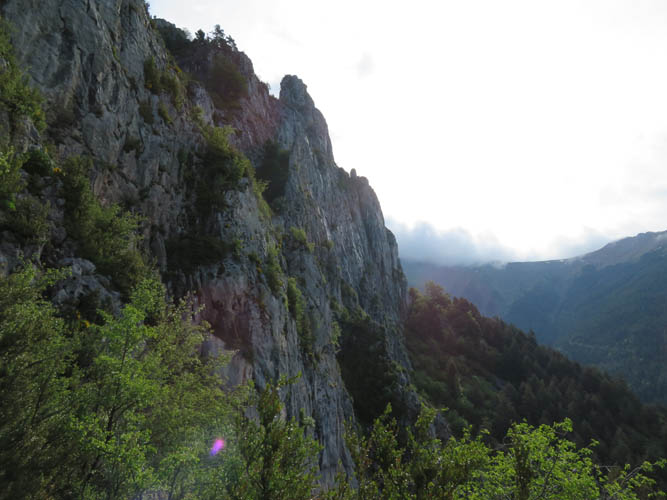
Hard to imagine there is a trail through these cliffs!
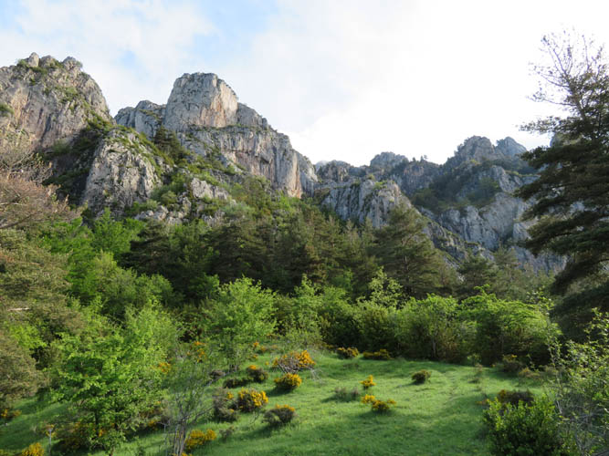
Looking east into the sun: the valley that I will circumnavigate on my trip today.
The first part is the hardest. Straight up into the cliffs!
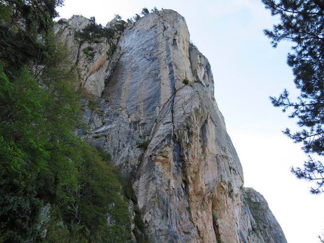
Some steep walls here.
A good trail passes below and through the impressive cliffs.
The trail is well marked, but I don’t see anyone else around today.
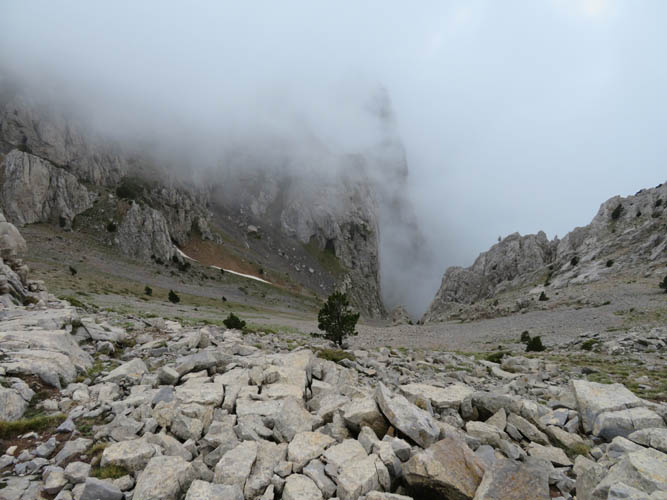
Clouds are spilling over the ridge from the north.
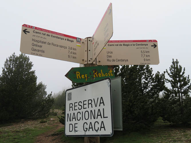
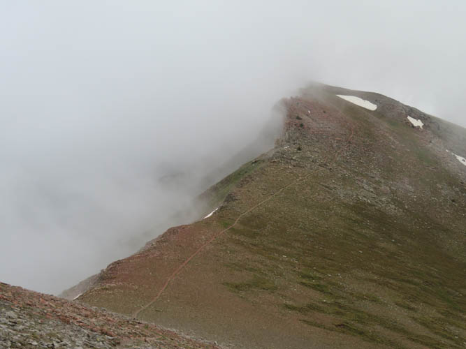
Lots of route options at the ridge top. “Reserva nacional de caça” means “National hunting reserve”. I saw some chamoix and there are probably deer as well.
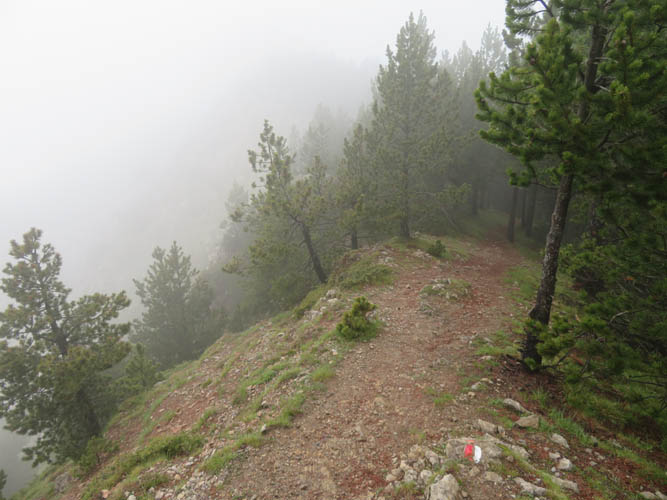
Following the trail through the clouds along the main ridge towards the east.
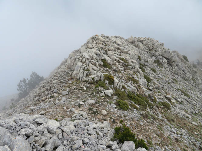
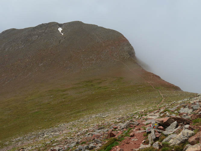
Puig de la Canal Freda (2313 m), the first high point.
A rare look down the steep south side of the ridge.
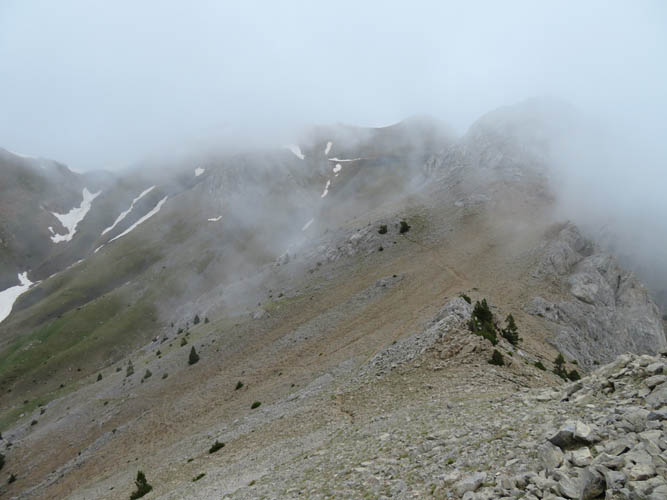
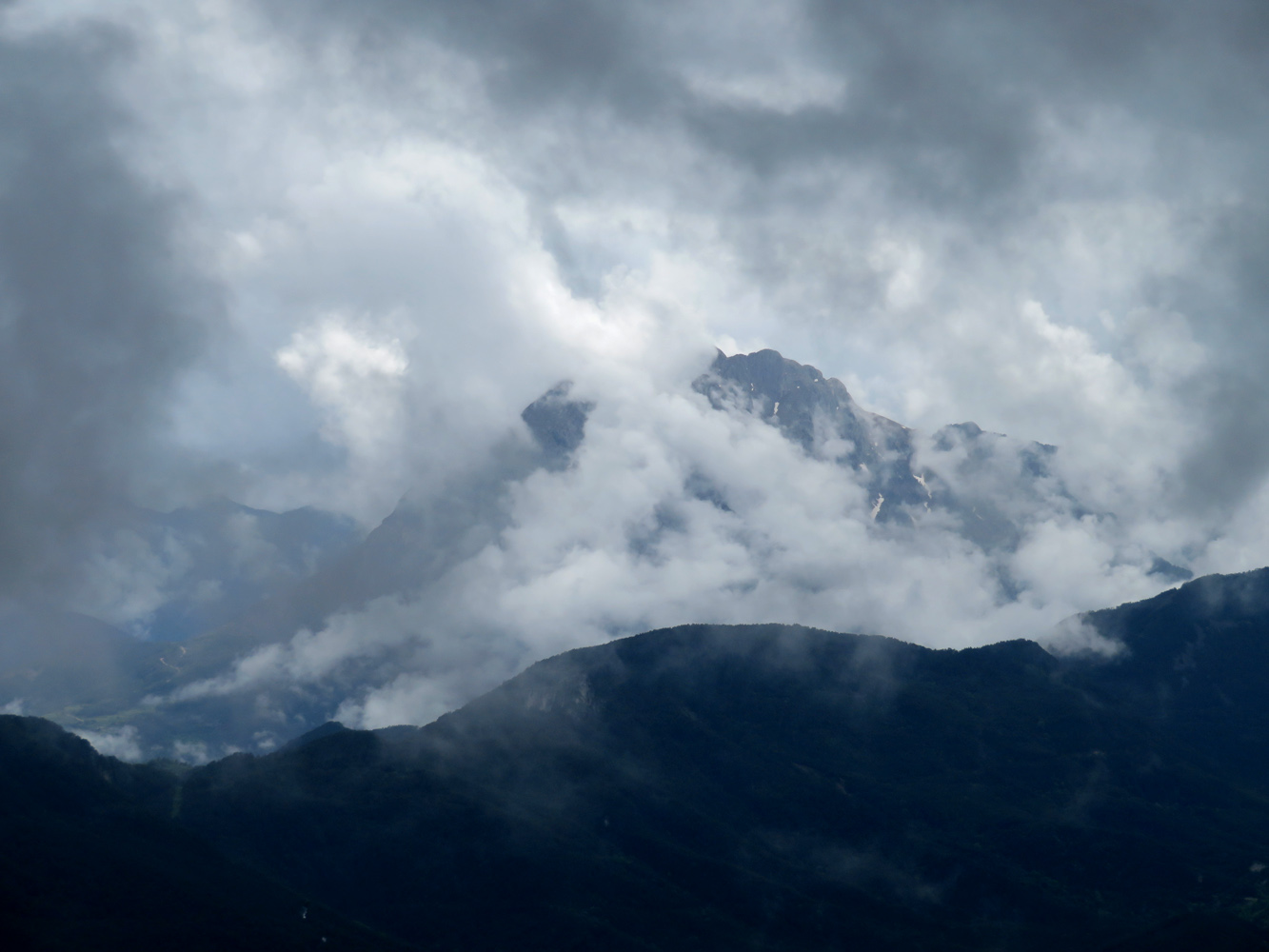
With all but clouds and rock to look at, it’s a mental game now trudging up the trail to reach the top. The restaurant building can barely be seen on the ridge in the centre just above the small snow patches.
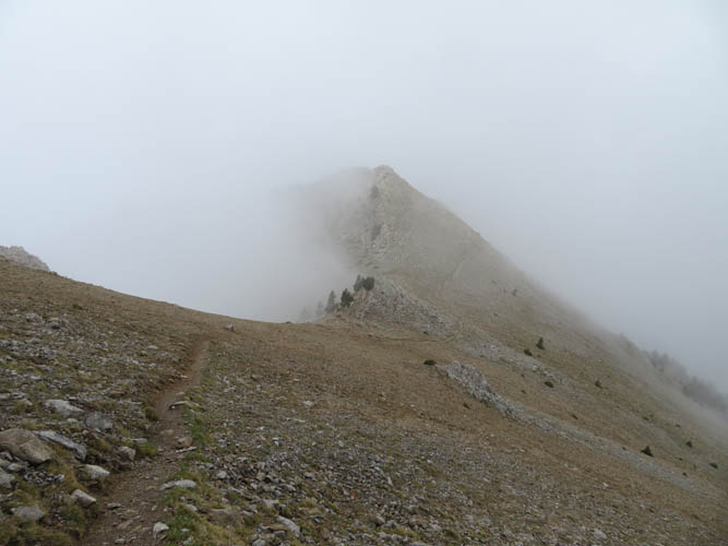
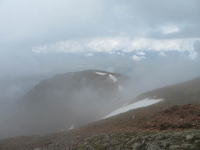
Looking back at Puig de la Canal Freda. This is not a ridge walk, it’s a cloud walk!
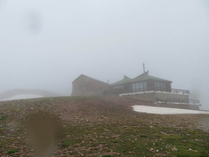
At the restaurant, Refugi Niu d’Aliga. The summit is the broad rise on the left.
Disappointing summit views.
The path continues east and south over several ups and downs. This bump goes by the name of Serrat Gran.
Looking back: most of the clouds are now hanging off the south/west side of the cliff.
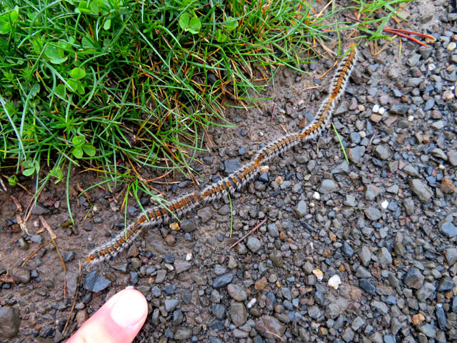
A centipede convoy on the road 🙂

Back at treeline, descending into the cloudy forest.