Jasper National Park, AB, Canada
31 August 2025
Solo
Remote peak off the South Boundary Trail
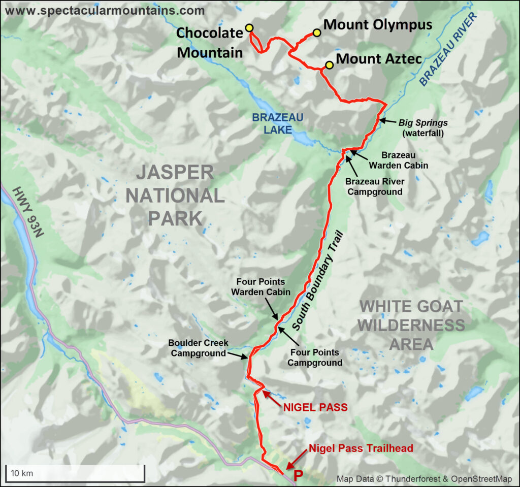
Mount Aztec was the first peak in a series of three objectives I had set my mind on for a four-day solo backpacking trip on the Labour long weekend this year, with the main goal being Chocolate Mountain. That mountain sits far in the interior of the park and requires 60+ km and two high passes to be overcome first before you can reach the bottom of it. For the route I had planned out to access Chocolate Mountain, tagging Aztec was just a small detour from the second high pass I had to go over, so it made sense to climb it and enjoy some good views before continuing on to Chocolate.
There isn’t much beta on Mount Aztec, but if you search for these key words you will likely come across some mention of the book “Peakbagging in the Canadian Rockies North” by Ben Nearingburg and Eric Coulthard. While Mount Aztec wasn’t actually included in the book (which is highly recommended for those seeking to tag summits in Jasper and beyond), it was Ben and Eric who made the first recorded ascent (FRA) of this peak several years ago. I remember reading about their formidable trip on Eric’s now defunct SummitSearch website, and I vaguely recall it being a rather lengthy and strenuous affair involving much sidesloping and bushwhacking up a narrow approach valley. Ben and Eric hiked in from the Nigel Pass Trailhead and then veered off trail up a side valley to the southeast of Mount Aztec, climbed a high col at 2820 m, and followed the mountain’s west ridge to the summit. I essentially took the same route (at least I think I did, not having any of their tracks), which served me well as part of my long but feasible approach to Chocolate Mountain. I therefore have to thank Eric and Ben for providing me with the inspiration to take this route, which allowed me to complete my big Chocolate Mountain adventure!
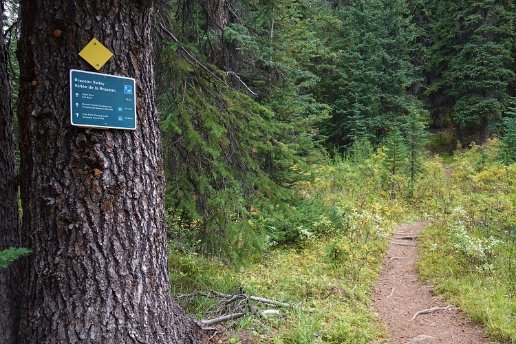
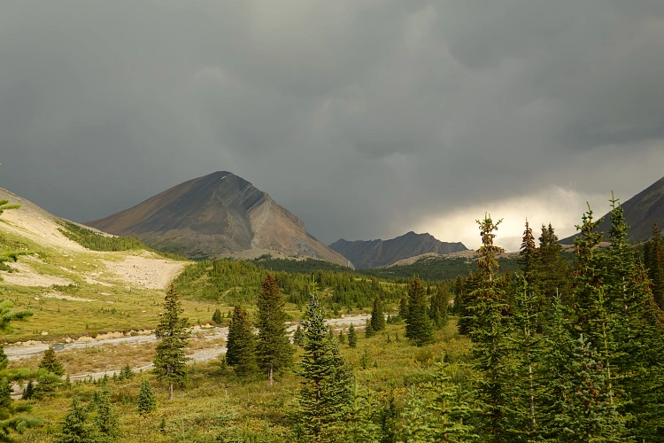
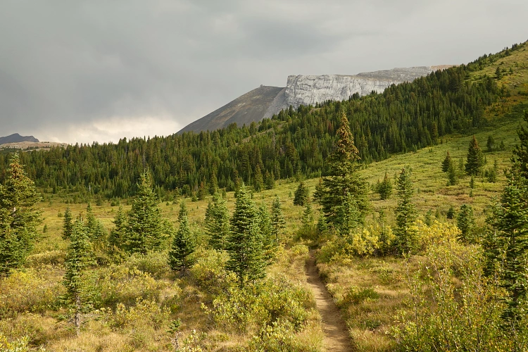
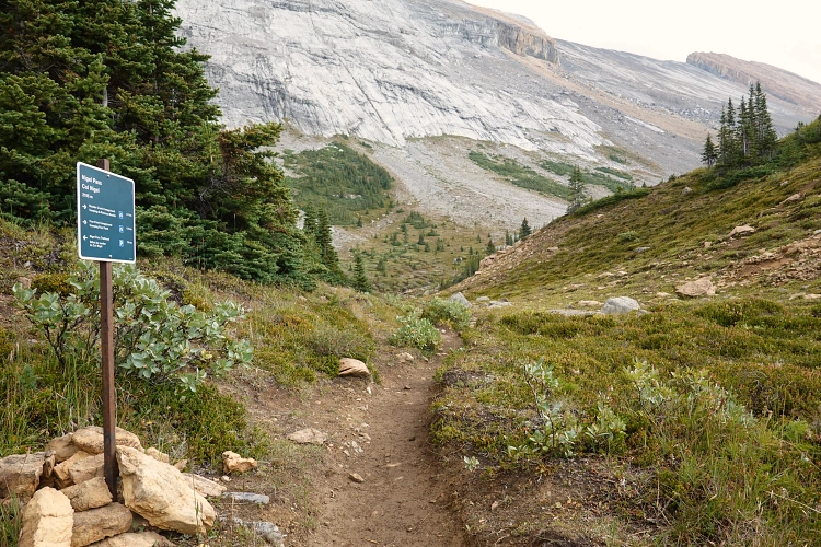
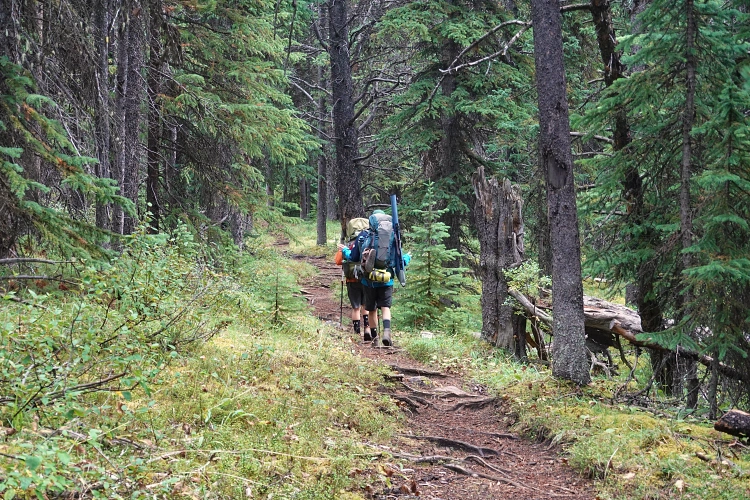
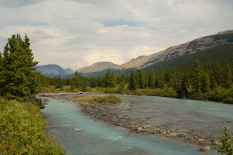
The approach from Nigel Pass Trailhead at highway 93N is straightforward and forms part of the popular “Brazeau Loop” that Parks Canada promotes on its website. The trail – part of the South Boundary Trail – first steadily rises to Nigel Pass over the first 7.6 km, then descends into a gorgeous valley near the headwaters of the Brazeau River, marked by a waterfall, meandering river branches, and lush green tallgrass around blue pools of water in the flat valley bottom. I met several groups of hikers along the trail, a welcome distraction from the work it took to cover miles and miles of trail on my first day with a heavy pack on my back. But overall, the trail wasn’t very busy, despite beautiful sunny weather in the forecast of a long weekend. Perhaps it was the dark clouds and distant roaring of thunder in the morning that kept people sticking to their campsites. In fact, when I set out in the morning, the sky over the Brazeau Valley looked pitch black and I later met a party that was drying their gear after getting completely soaked… Luckily, I only caught a few drops in the first few hours, then the weather cleared up.
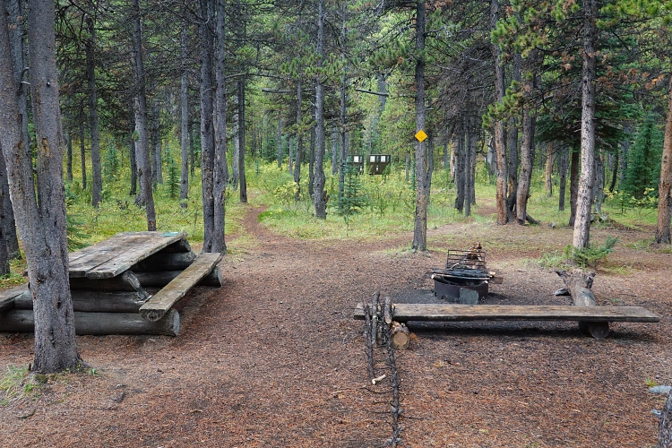
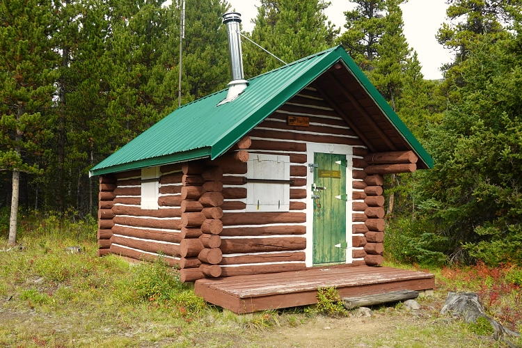
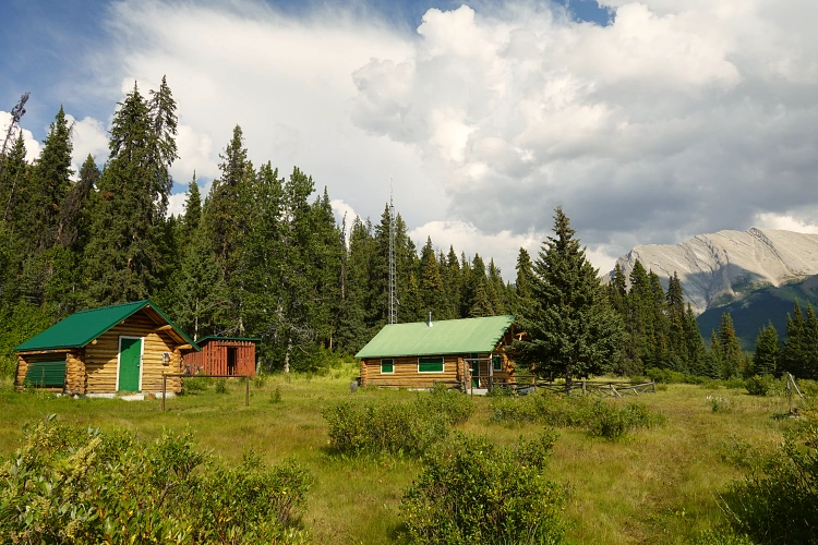
The trail took me past the Boulder Creek campground and, only 3 km later, the Four Points campground. Shortly after, I passed by the Four Points warden patrol cabin which strategically overlooks the Brazeau River by a grassy opening. Past this point the trail got quite boring – more than 11 km steady downhill in the forest, with no variation to speak of. I put my head down and kept on pushing through to Brazeau River campground, which I had booked for my first night. There are only four tent pads here but there was no-one else staying.
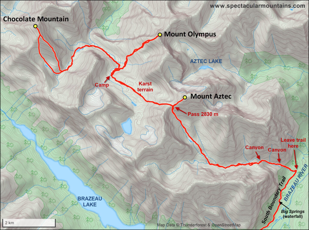
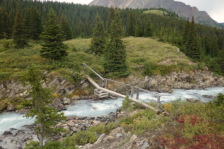
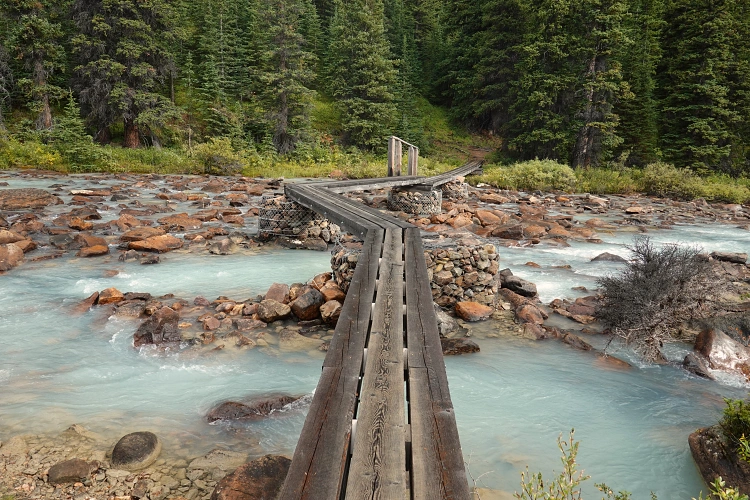
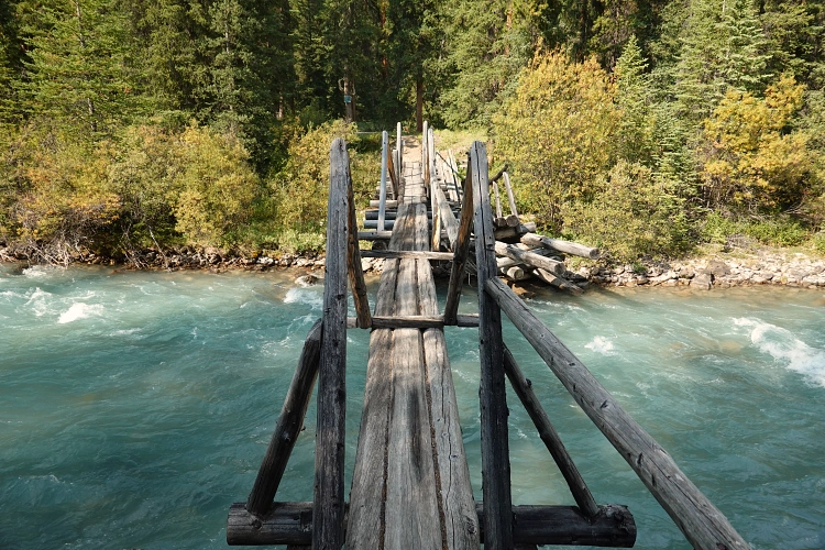
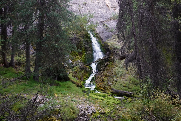
All sorts of animal noises kept me restless all night, or perhaps it was the anticipation of what was to come, of the unknown adventures ahead. The next morning I arose semi-refreshed but full of excitement, wolfed down some instant oats for breakfast, and was on my way. A few metres past the campground is a neat, hand-built wooden cantilever bridge that is quite narrow and looks a bit shaky but does its job. I crossed over the North Brazeau River, turned right and away from the Brazeau Loop route, and continued on the South Boundary Trail heading east for another 5 km. It was immediately obvious that this section of trail was considerably less well-trodden; it almost looked unmaintained and you can tell very few people travel through this area. Still, it was in decent shape and I enjoyed not having to worry about routefinding… yet. A nice distraction from the relatively monotony of this forest trail was at about the 4 km mark where I came by a waterfall that literally gushes out of the side of a cliff and into the trees. It’s really neat to see how huge volumes of water come straight out of the rock, creating an “enchanted forest” atmostphere with moss, small creeks, and mist all around you. I later found out that this place goes by the name of “Big Springs” (aka “hole-in-the-wall”) according to this excellent blog by hiker Ben Massey who did the South Boundary Trail in 2022.
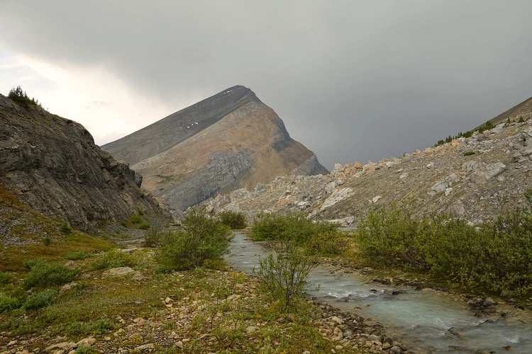
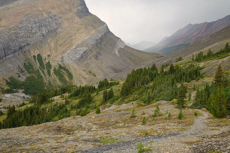
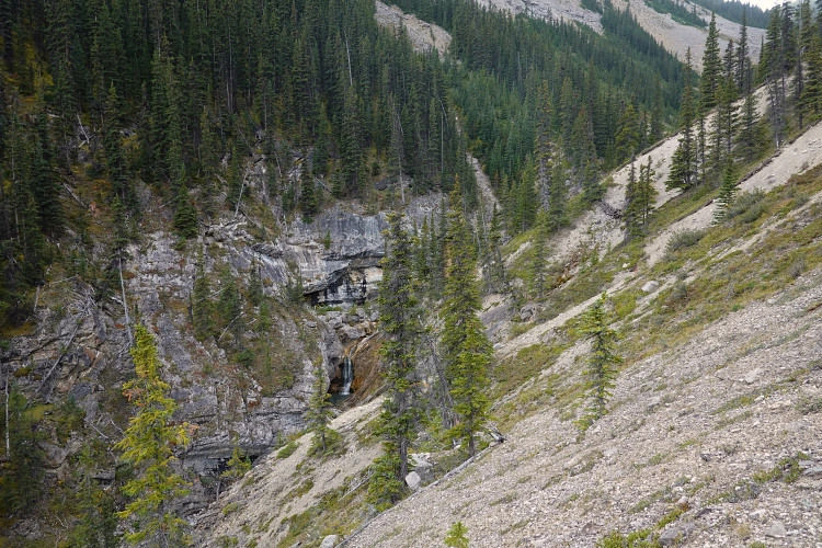
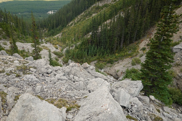
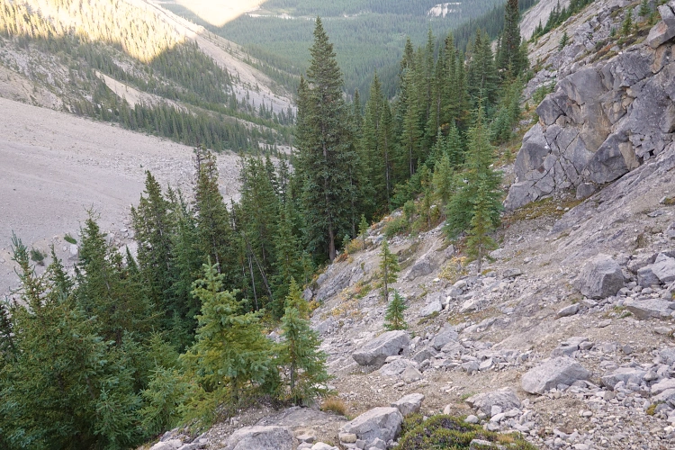
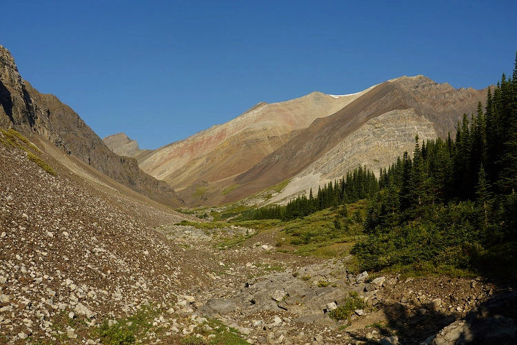
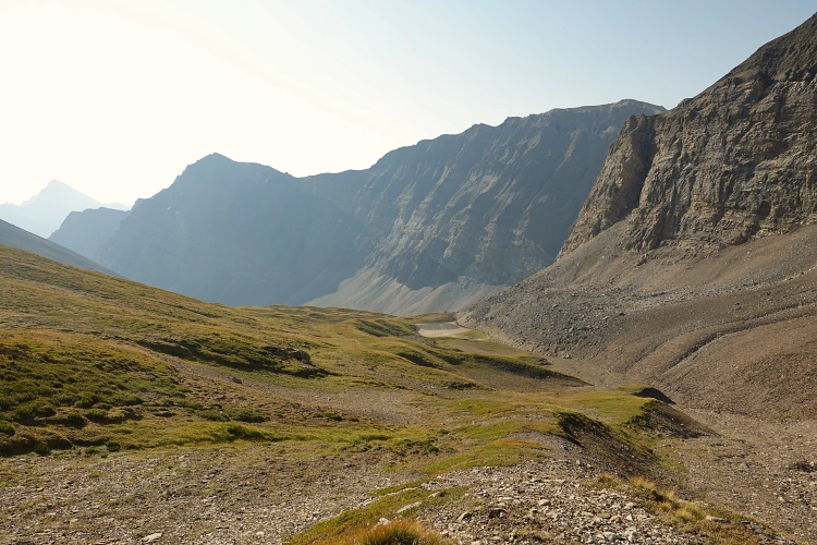
After a good hour and 5.2 km of hiking from the Brazeau River campground, I arrived at a small creek that drained from a side valley to the west – the approach valley. The creek itself was horribly overgrown with alders, so I continued for some 20 m along the trail and then headed into the mossy forest on the north side, which had fairly little in terms of dense bush. Staying north of the creek and paralleling valley bottom worked so well that I continued in this fashion for quite a ways uphill. There were some steep, eroded sections of hillside that were awkward to traverse with a heavy pack on, but still far better than the narrow creek bed which was either overgrown or had large boulders and narrow chutes blocking the way. I passed by a vertical cliff with a waterfall before encountering a steep and narrow canyon, again harbouring a sizable waterfall in the middle. The latter I had to bypass on the left side through a steep patch of trees clinging on to the side of the valley. Beyond that, fortunately, the valley opened up and became less bushy and I was able to hike along the creek which now only had intermittent water flow.
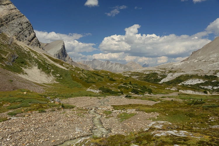
The valley then splits, the broad north arm turning towards the high pass below Mount Aztec. This was an absolutely lovely stretch and I thoroughly enjoyed the hiking here on gently rolling grassy meadows. There is a small, muddy pond hidden behind one of the ribs and as I passed by and looked back, I saw two huge grizzly bears wobbling away from the water. Now I knew that on my return I would definitely have to yell and shout as much as I could if I wanted to limit my chances of running into these big beasts!
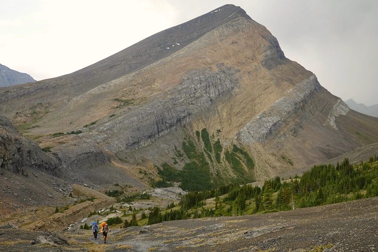
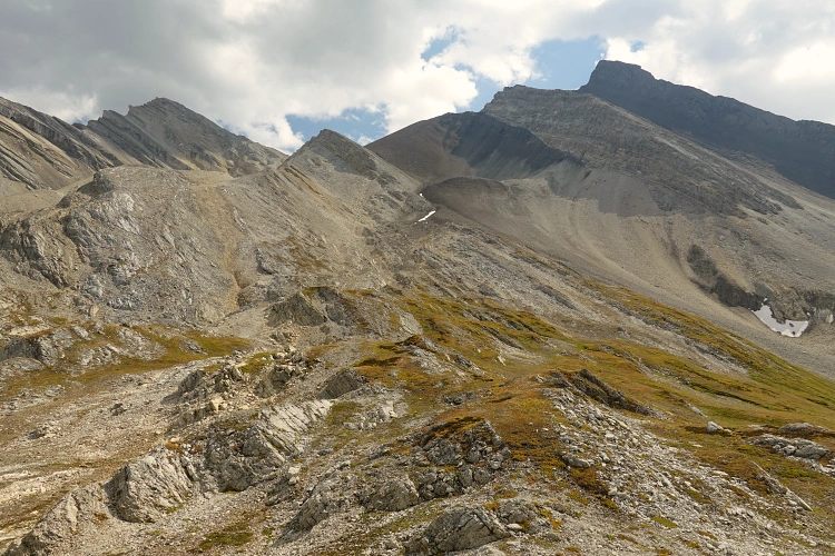
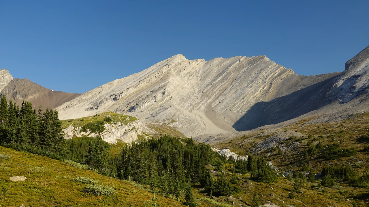
Where the grass ran out at the top of the valley, the ground transitioned to rubbly brown shale. I slogged up the remaining few hundred elevation metres on a mix of treadmill scree and firm rock ribs sticking out on the side, eventually arriving at the high pass sitting at 2830 m.
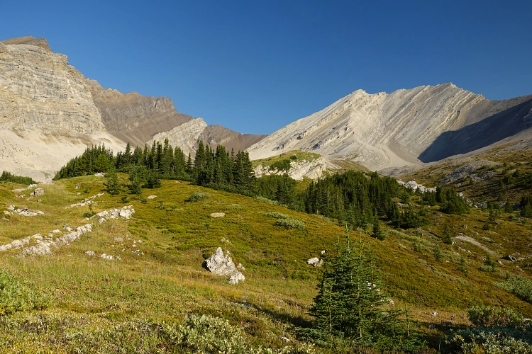
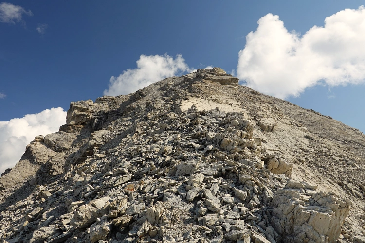
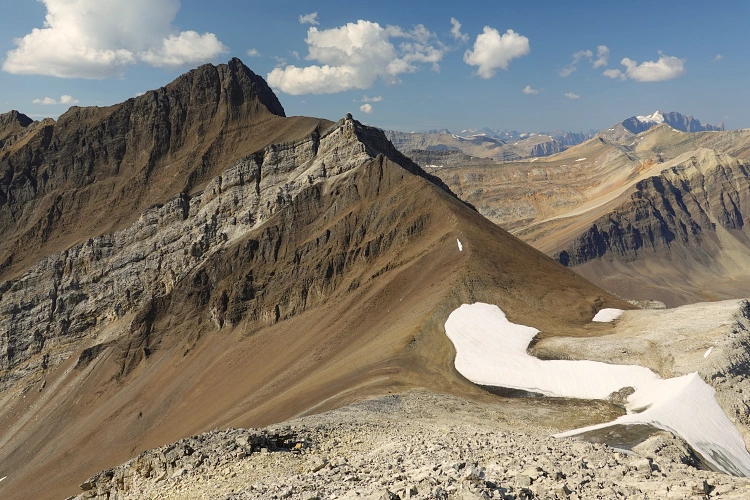
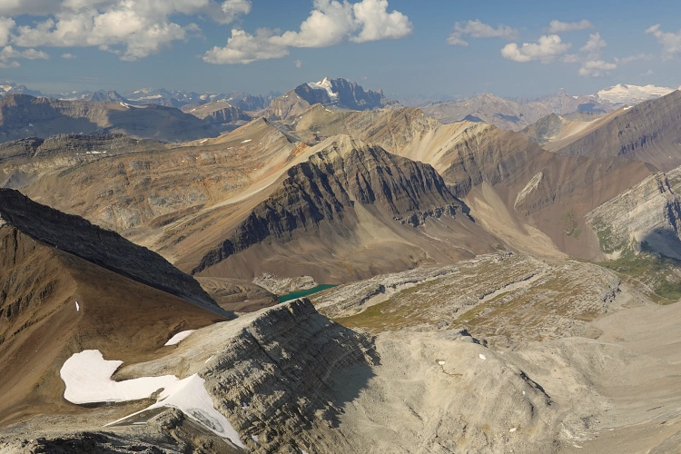
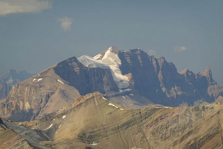
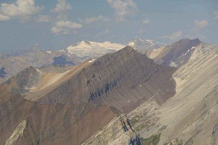
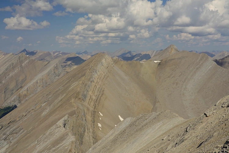
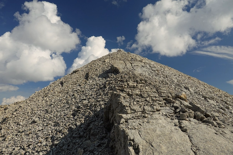
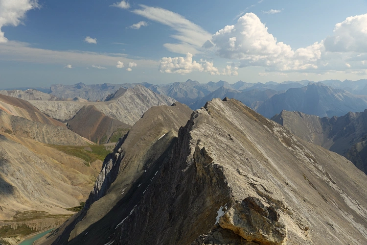
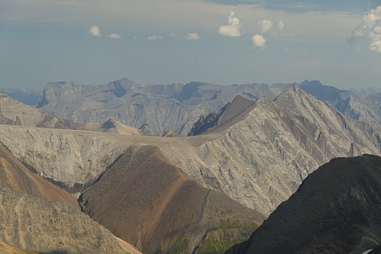
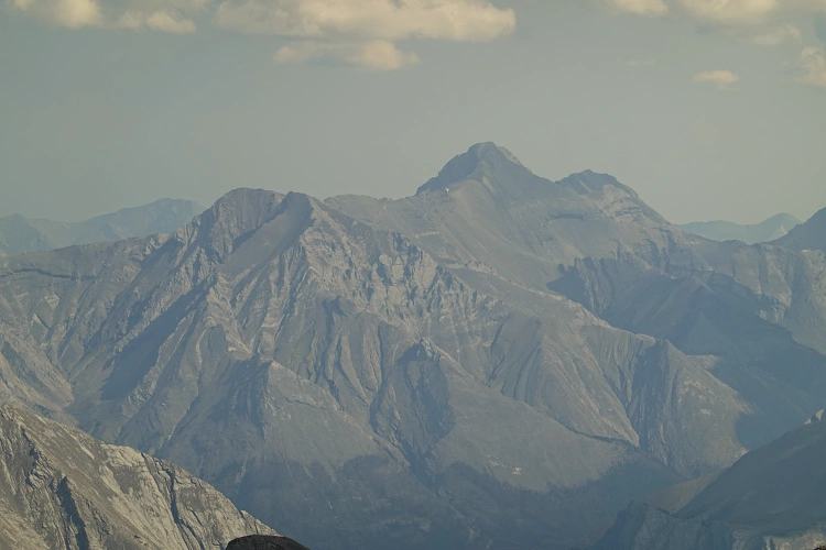
Finally I could rid myself of my heavy overnight pack, if only temporarily, and don a light day pack with just the essentials for a quick summit push to the top of Mount Aztec. The climb is straightforward: you essentially just follow the ridge crest straight up. It’s mostly 3rd class terrain with a mix of talus and firmer, broken up rock chunks, necessitating very little hands-on scrambling. A large, old cairn welcomed me to the summit of Mount Aztec at 3120 m where Eric and Ben had stood years before. Sweeping views over countless peaks and ridges, almost all unknown to me, kept me entertained while I munched on some beef jerky and pumpernickel. I think the only mountain I recognized was Chocolate Mountain because of its dark brown colour!
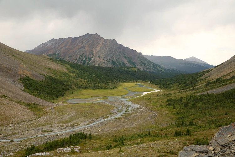
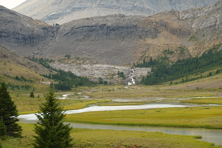
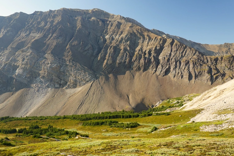
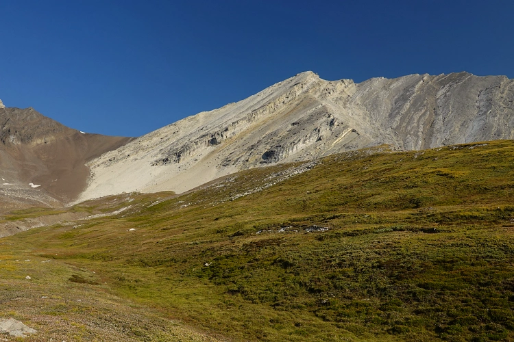
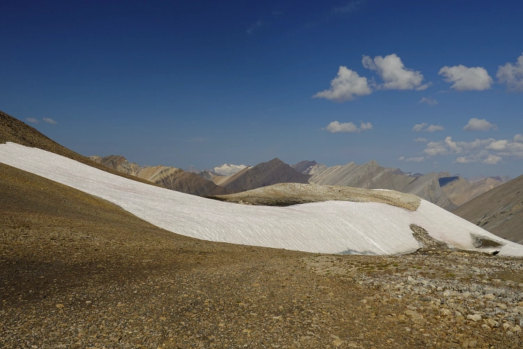
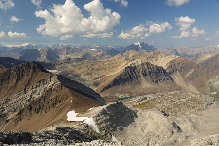
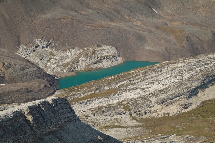
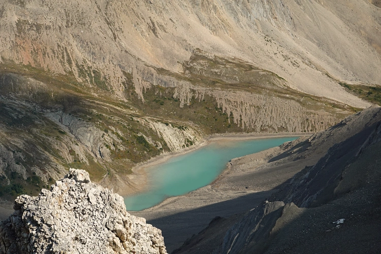
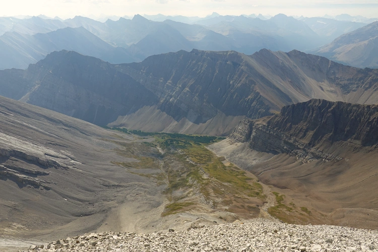
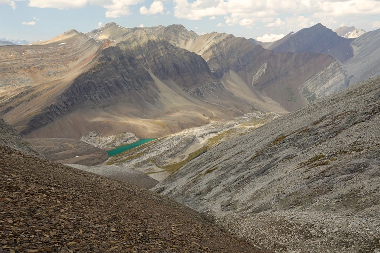
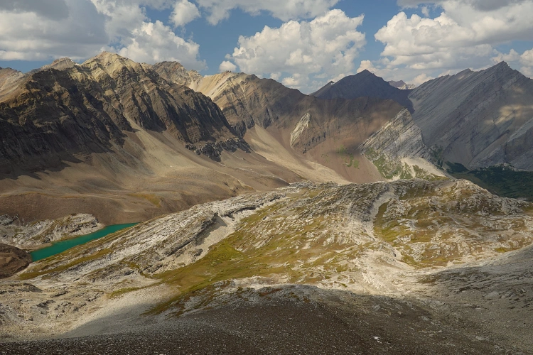
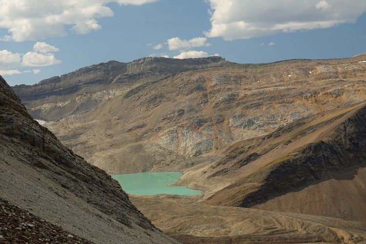
The descent back to the col was quick and only took me about 25 minutes. I had already seen from the summit that there was likely an easy route down into the valley to the northwest where I wanted to set up camp for the night. And sure enough, just past an old lingering snow field I found a perfect slope of soft shale – the same layer of brown shale that also got me up to the pass. Scree-skiing down into this new and remote valley was super enjoyable as the landscape around me became more clear and defined, with alpine lakes popping up on the left and a huge swath of linear limestone ribs and dips covering much of the broad valley below me. Where the scree ended, the high valley flattened out in this unique karst area and I continued gently downhill parallel to the limestone ribs. Eventually, at the northern end of the karst area, I found a nice grassy spot, slightly sheltered between some bumps, and located near a lively creek carrying milky glacial run-off. I really didn’t want to carry my heavy pack much further and this spot formed a great basecamp from which I could explore a way to Chocolate Mountain the next day. But it was only about 3 pm now, so first up was an afternoon climb of Mount Olympus, the biggest mountain to the east towering over the valley.
|
Elevation: |
3113 m |
|
Elevation gain: |
1400 m (820 m loss) |
|
Time: |
10.5 h |
|
Distance: |
17.0 km |
|
Difficulty level: |
Moderate (Kane), T4 (SAC) |
|
Comments: |
Stats are from Brazeau River campground to summit to camp in valley W of Mount Olympus. |
|
Reference: |
Own routefinding |
|
Personal rating: |
4 (out of 5) |