Livingstone Range, AB, Canada
2 November 2025
With Wen & Sim
Short and easy winter outing
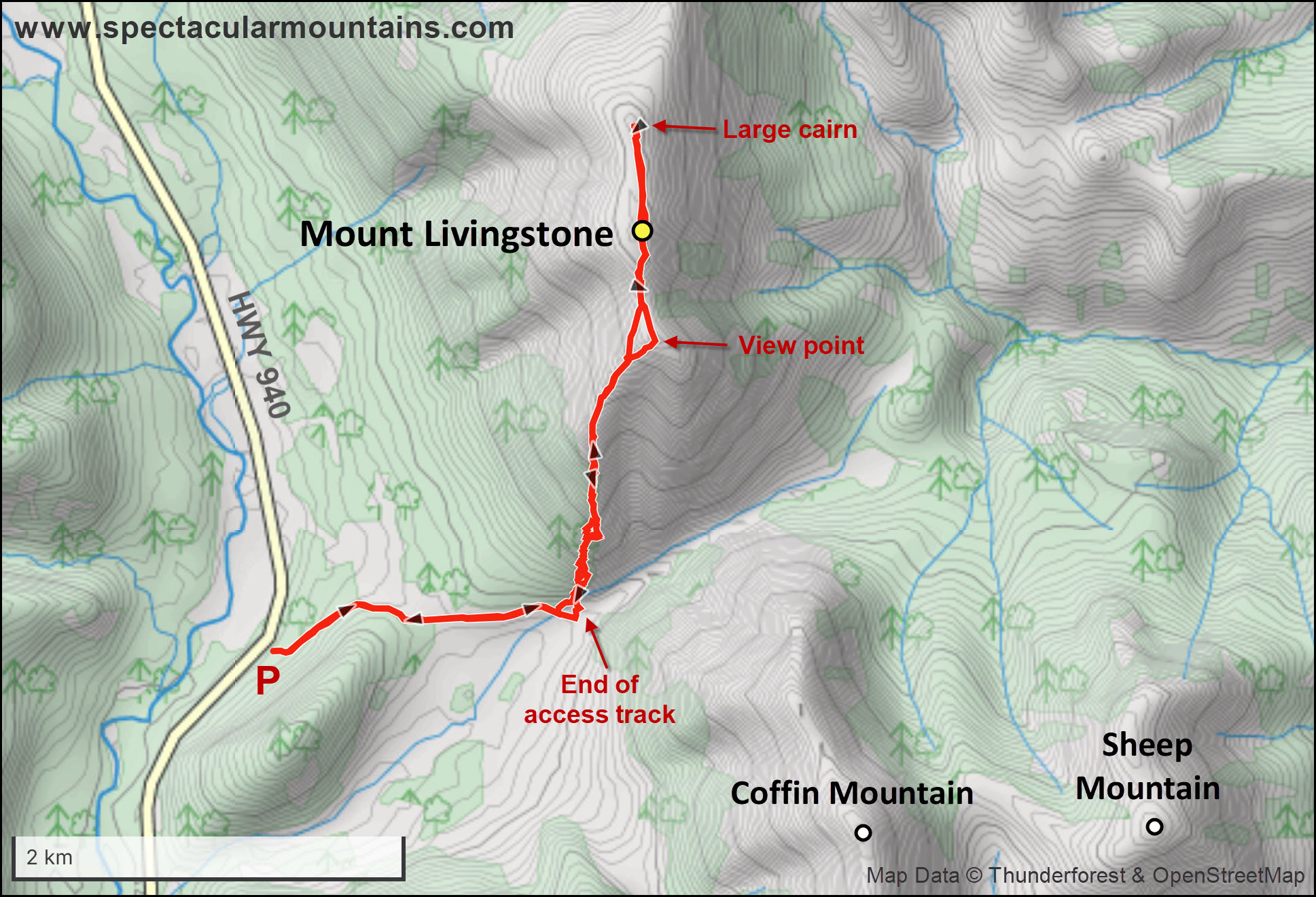
Mount Livingstone is the first “proper” mountain on the north end of the Livingstone Range, easily accessible from highway 940 (part of the Forestry Trunk Road), a gravel road that runs from Highwood Junction west of Longview to Coleman in the Crowsnest. We were looking for something easy, relatively short, and not too far away, and this objective filled all the check boxes.
Just like on our previous visit to the area back in 2019, we were unable to drive up the little access track that goes from the gravel road to the “gap” between the south end of Mount Livingstone and the north end of Coffin Mountain. It’s rough and rutted, and while you could make it all the way in with a high-clearance truck, we had to walk an extra few hundred metres to the foot of the mountain – no big deal.
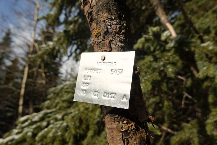
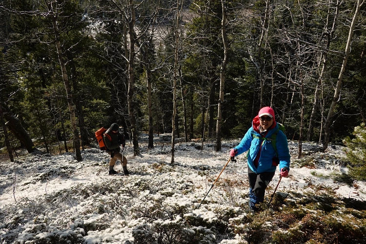
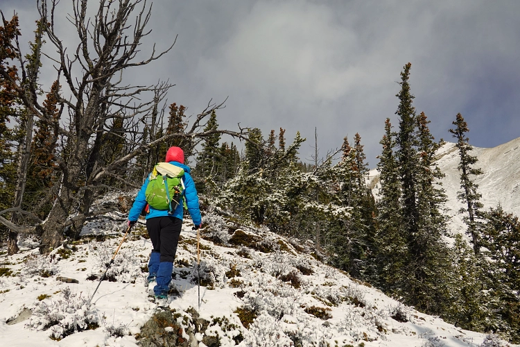
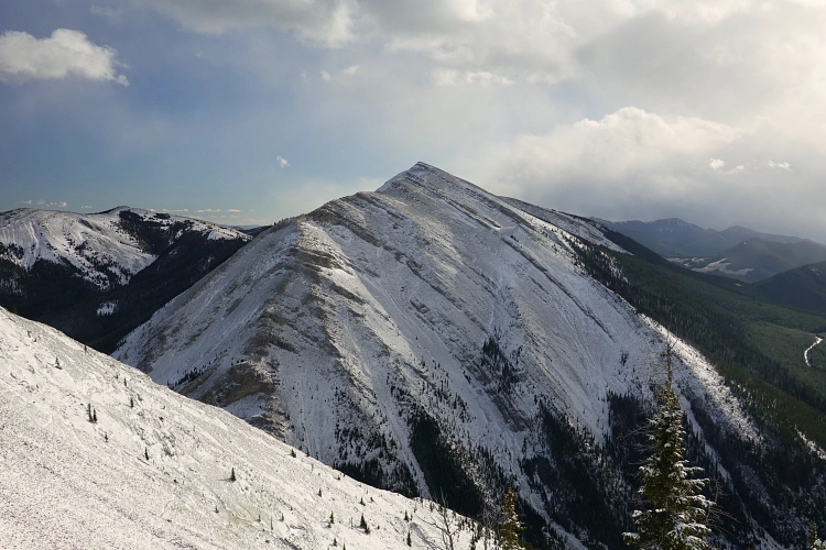
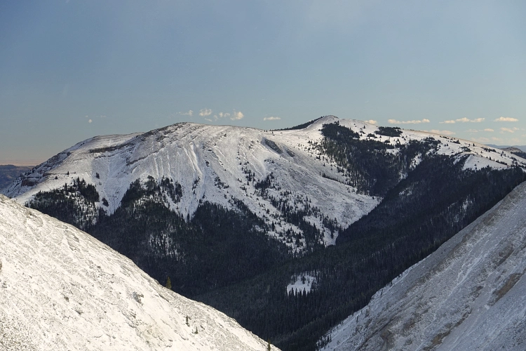
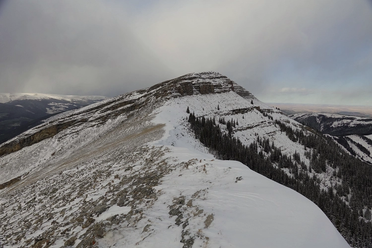
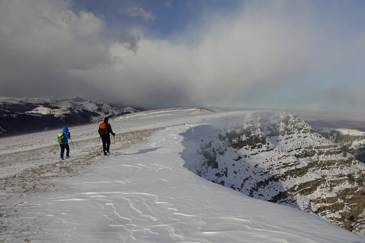
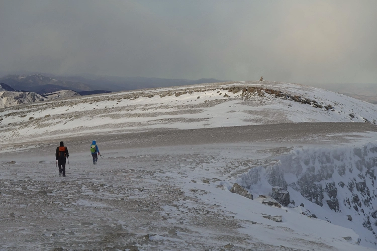
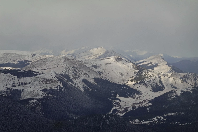
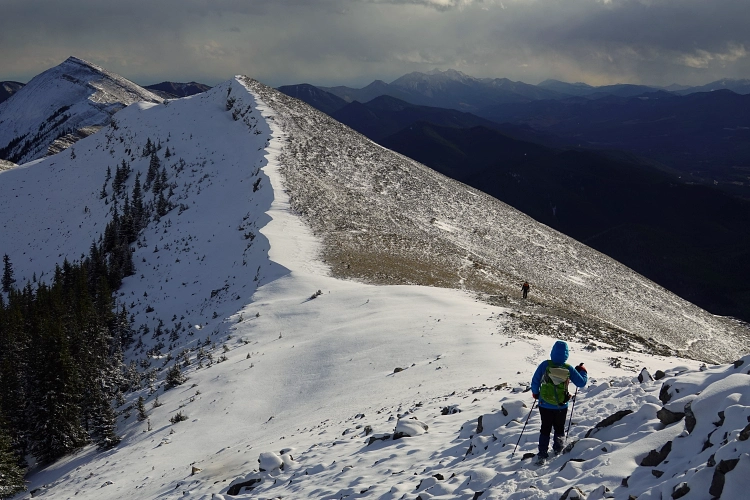
Where the track ends we entered light forest on our left and headed up the south ridge of Mount Livingstone. There were cut tree trunks here and there, plus metal markers on trees, indicating that somebody likely shot a short seismic line part way up the slope a long time ago. It was pretty easy to plod our way up through the trees despite no trail being present. Eventually, we gained a well-defined, rocky spine that we followed without any issues to a small dip, then trudged up the remaining 100 m or so up a scree slope to the summit ridge. The cairned south end of this ridge is a great view point for Coffin Mountain across the valley. A few hundred metres further north, we easily scrambled up a rock band and reached the true summit just above.
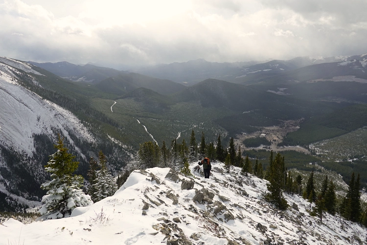
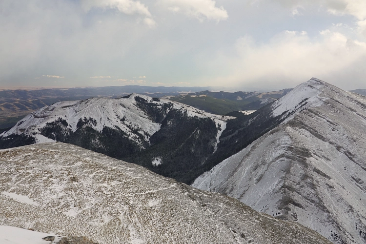
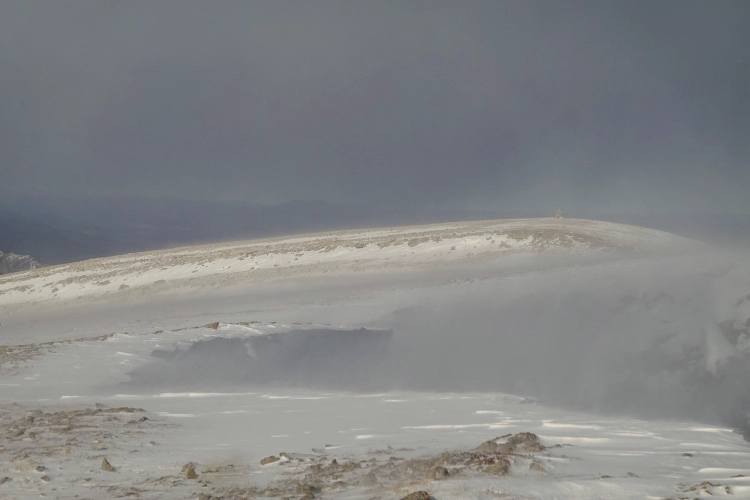
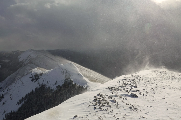
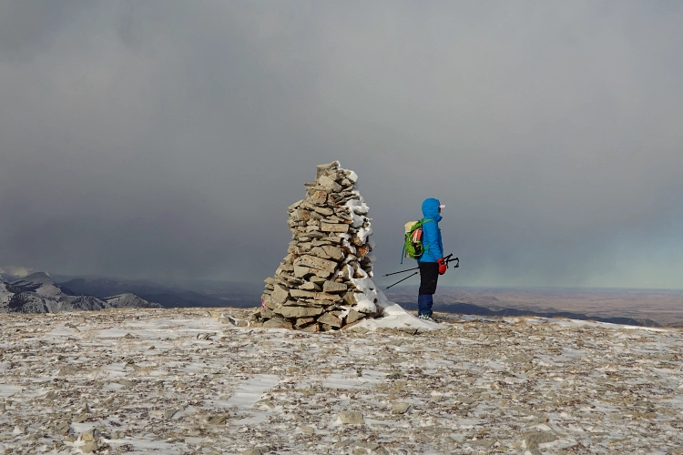
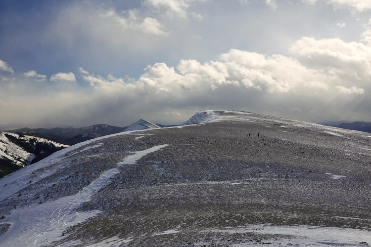
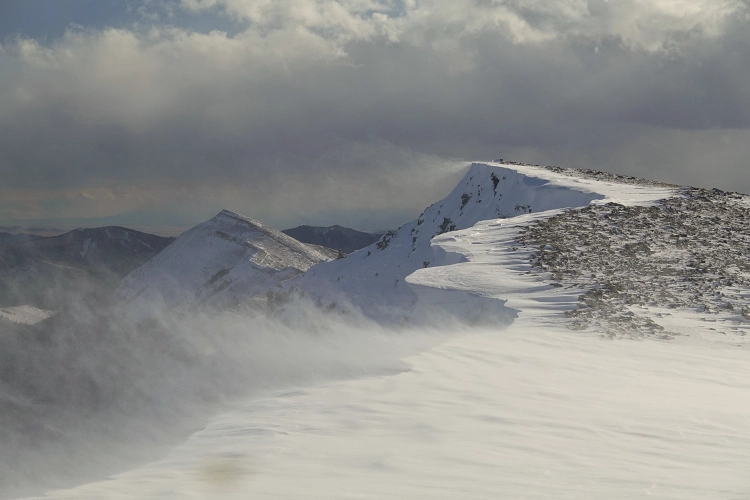
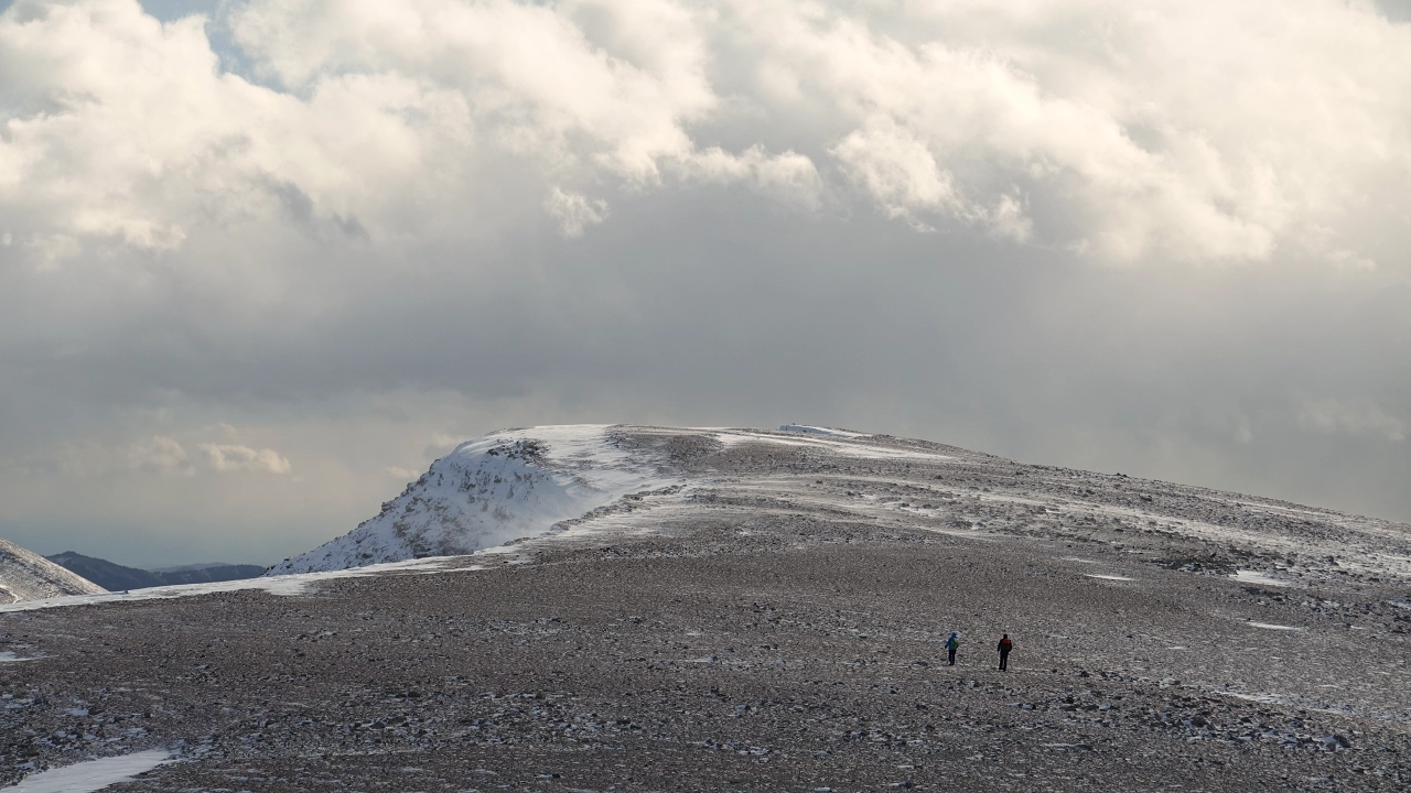
It was crazy windy up here, as is often the case in this area, and fine snow was blasting our faces while we tried to keep ourselves steady. The remaining section of the summit ridge to the north is flat and very exposed, and despite the strong winds today it made for a memorable and scenic walk. There is a huge cairn on the north end, a great photo op that sticks out like a sore thumb in the otherwise barren, plateau-like terrain.
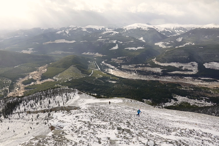
We kept our summit stay short and quickly returned the same way, having our lunch in the little dip along the south ridge where there was practically no wind at all. The hike back down was quick and relaxed. A lovely outing that I think deserves more attention from those looking for that “raw mountain feeling” at a high reward-to-effort ratio.
|
Elevation: |
2438 m (true summit) |
|
Elevation gain: |
700 m |
|
Time: |
6.0 h |
|
Distance: |
9.0 km |
|
Difficulty level: |
Easy (Kane), T2 (SAC) |
|
Comments: |
True summit is further south of location shown on some maps. |
|
Reference: |
Own route finding |
|
Personal rating: |
4 (out of 5) |
NOTE: This GPX track is for personal use only. Commercial use/re-use or publication of this track on printed or digital media including but not limited to platforms, apps and websites such as AllTrails, Gaia, and OSM, requires written permission.
DISCLAIMER: Use at your own risk for general guidance only! Do not follow this GPX track blindly but use your own judgement in assessing terrain and choosing the safest route. Please read the full disclaimer here.