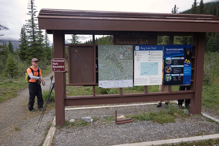
Mount Robson Prov. Park, BC, Canada
26 July 2025
With Keegan
Favourite Berg Lake day-hike with a little summit to top it off
Our first full day at Berg Lake after having hiked up to Whitehorn Campground on the first day (11 km) and the remaining 10 km on the second (plus a climb of Mount Anne-Alice). The weather forecast had been all over the place for the 5 days we were to spend in Mount Robson Provincial Park, and it was changing every day. One look up the sky in the morning was basically our best bet for how the weather might be on any given day… And if it looked reasonably dry, the best thing to do was to just go for it and seize the day.
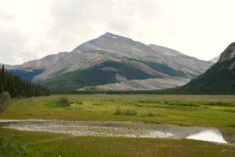
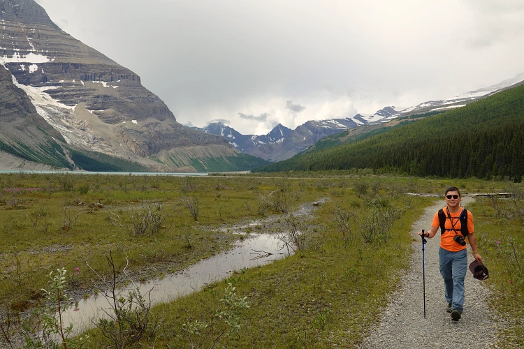
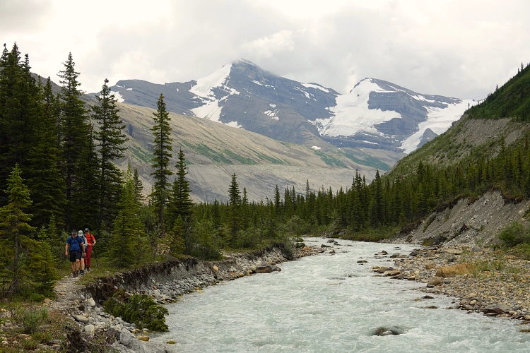
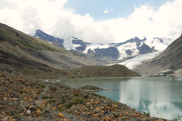
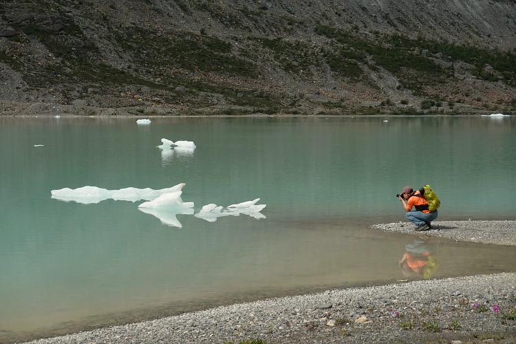
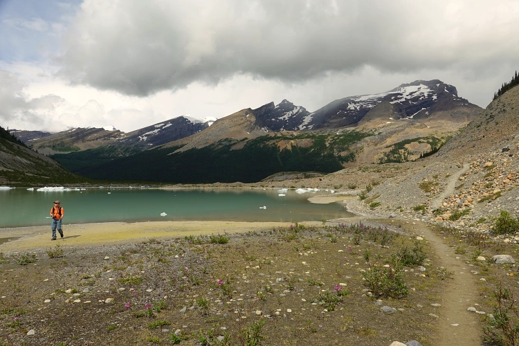
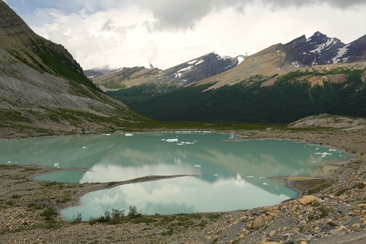
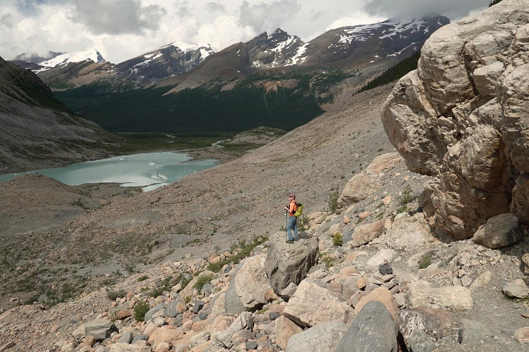
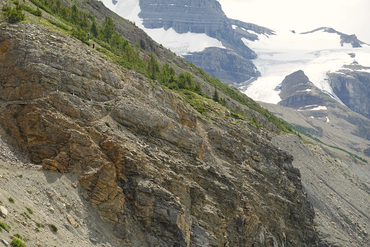
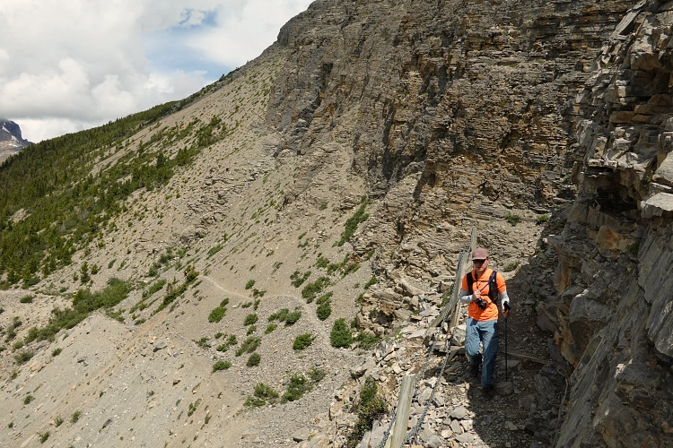
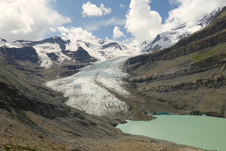
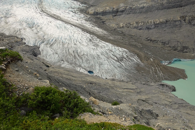
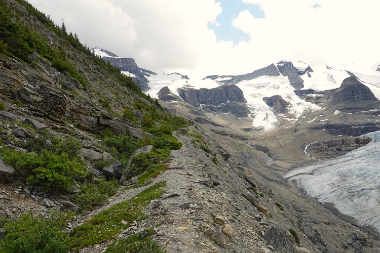
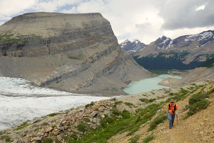
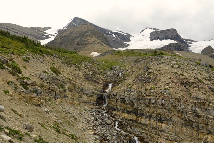
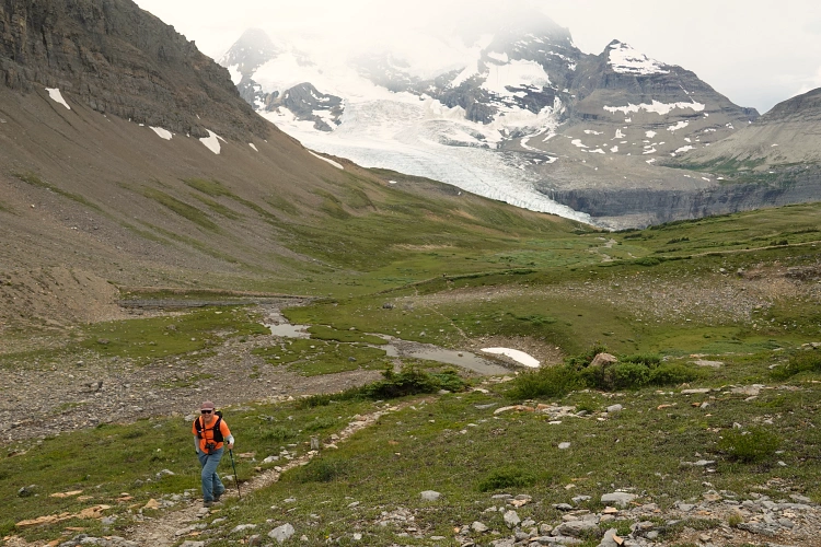
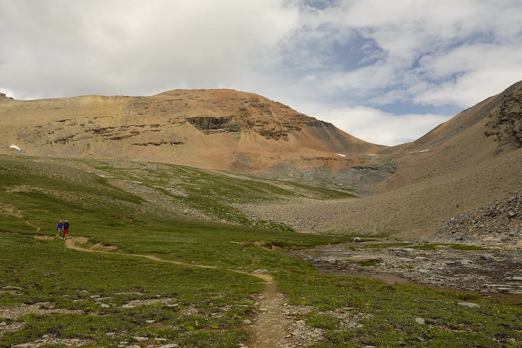
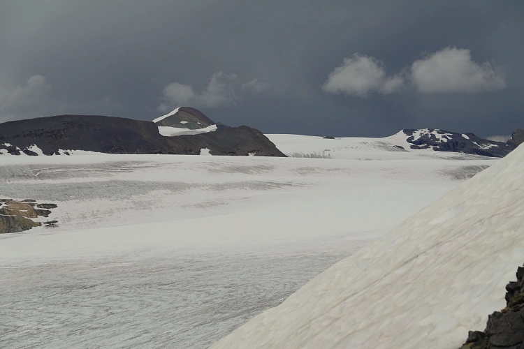
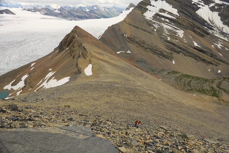
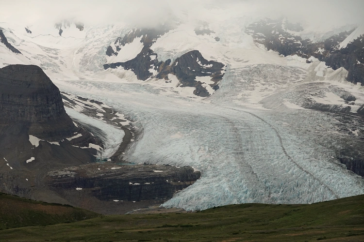
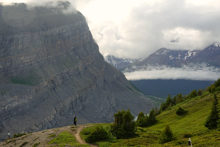
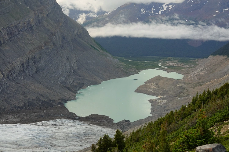
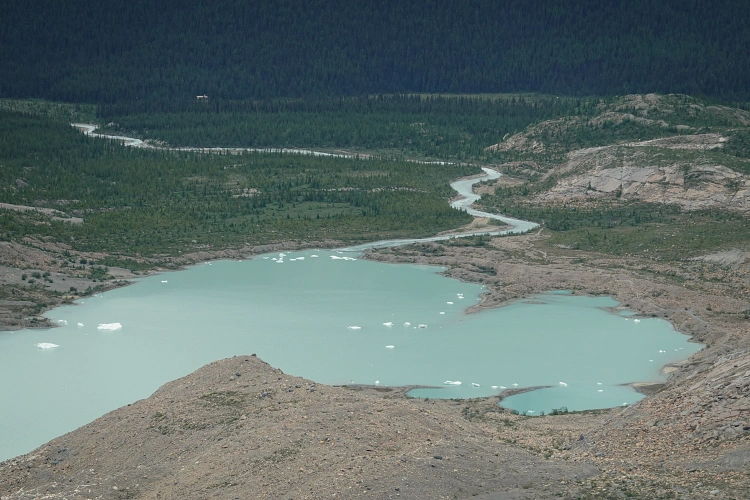
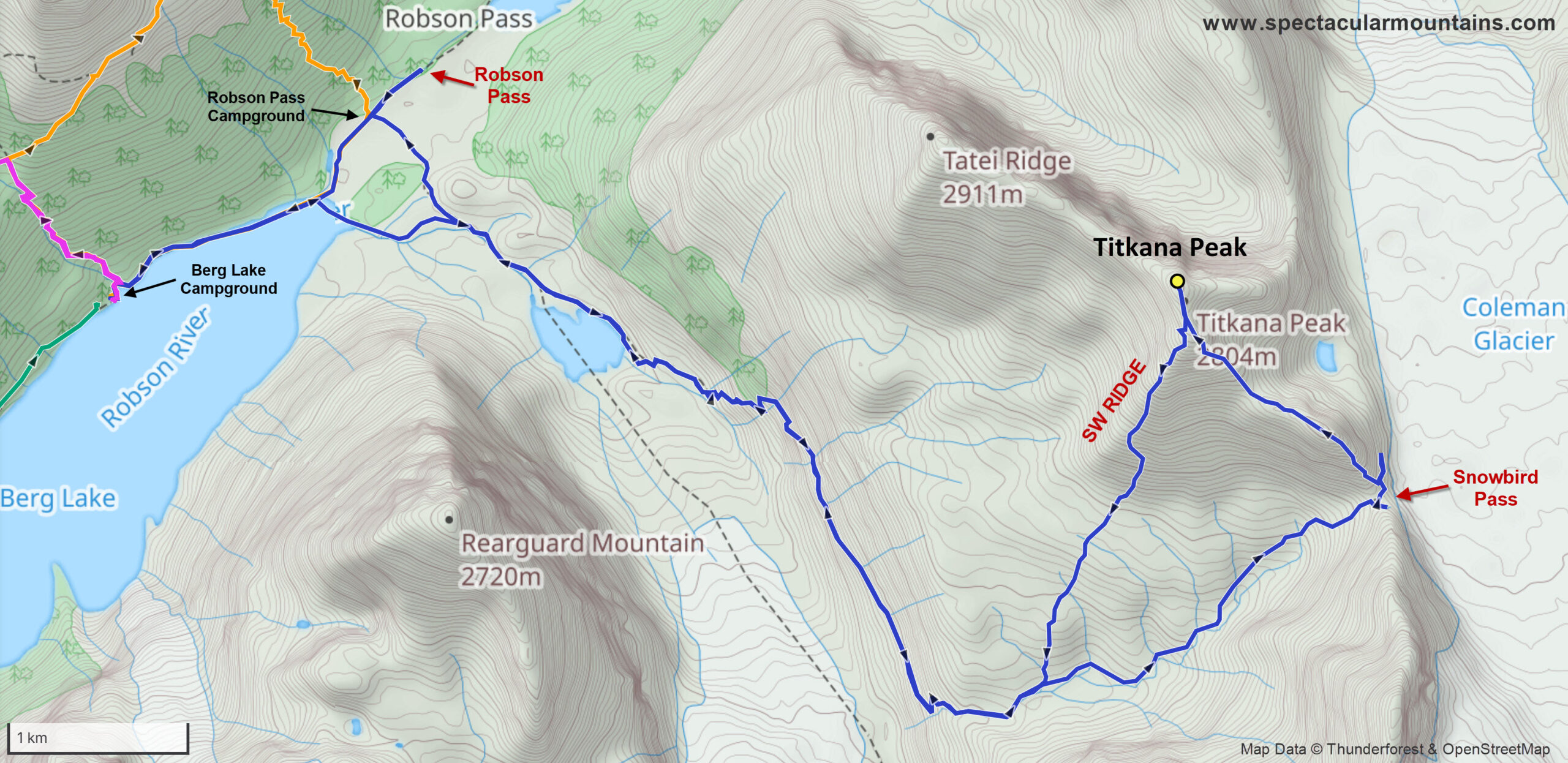
Today was no different, and after a bit of a sleep-in and a long, lazy breakfast in the shelter cabin, we packed up our day packs and started heading up the trail towards Snowbird Pass. Keegan and I agreed that Snowbird Pass is the most enjoyable day hike you can do from the lake. If there’s only one hike you have time for, this would be it. It’s not short (20 km round-trip to the pass) and there’s >800 m elevation gain, but it’s at a fairly even grade with only a few sections of steeper grinds. The variety of terrain and landscapes you encounter is absolutely magnificent! From the river flats north of Berg Lake the trail follows the Robson River to the small glacial lake at the foot of Robson glacier, which is intersected by a myriad of dark cracks and crevasses, with even a small ice cave at its foot. The trail then climbs the left side of the valley to the crest of a side moraine, the rubbly debris the glacier pushed aside many years ago when it was far bigger than its current size.
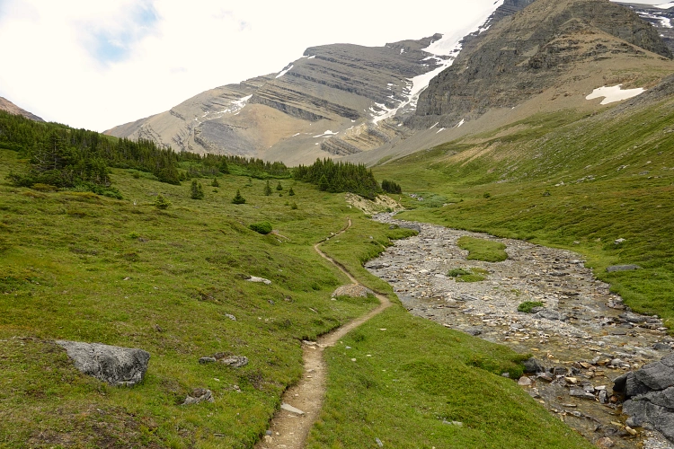
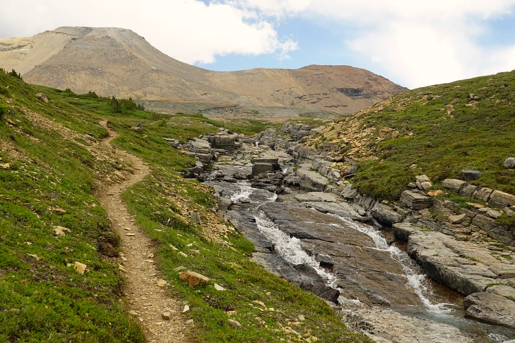
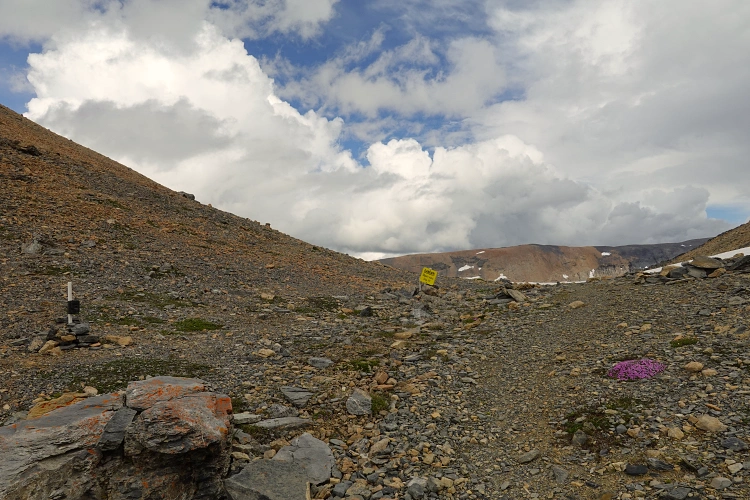
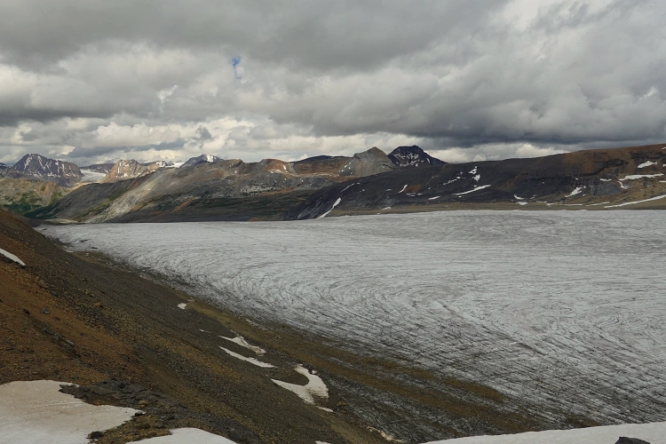
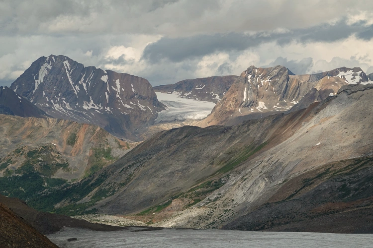
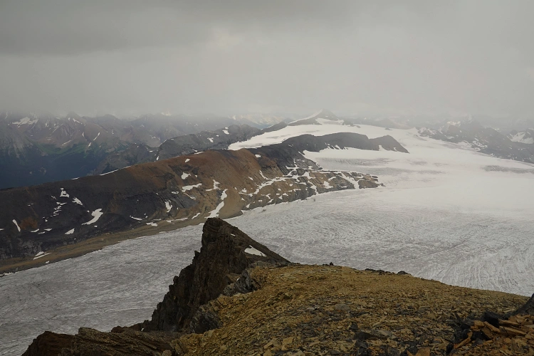
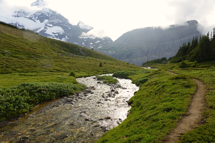
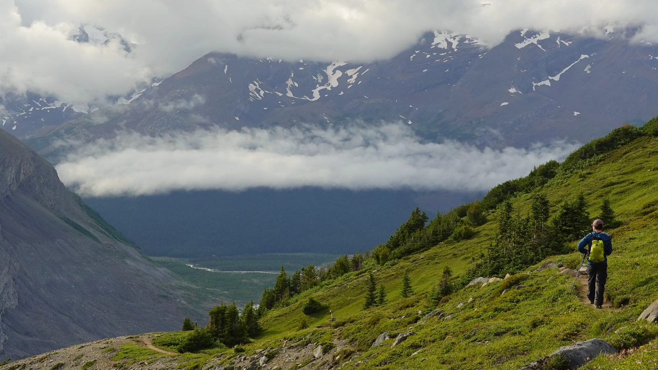
We passed by a few groups of hikers and even trail runners that were doing the trip to the pass in a single day from the parking lot. Towards the end of the valley, the trail swerves around to the east and up a beautiful expanse of green meadows on a high alpine plateau that stretches out to the pass. There is a small stream next to the trail where we filled up our water reserves before the final stretch to the pass. The views down the other side of the pass were surreal! A huge field of ice, the Reef Icefield, as far as the eye can see, with impressive craggy peaks behind. Dark clouds had accumulated in the distance, making the vistas even more dramatic.
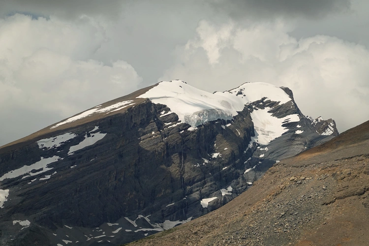
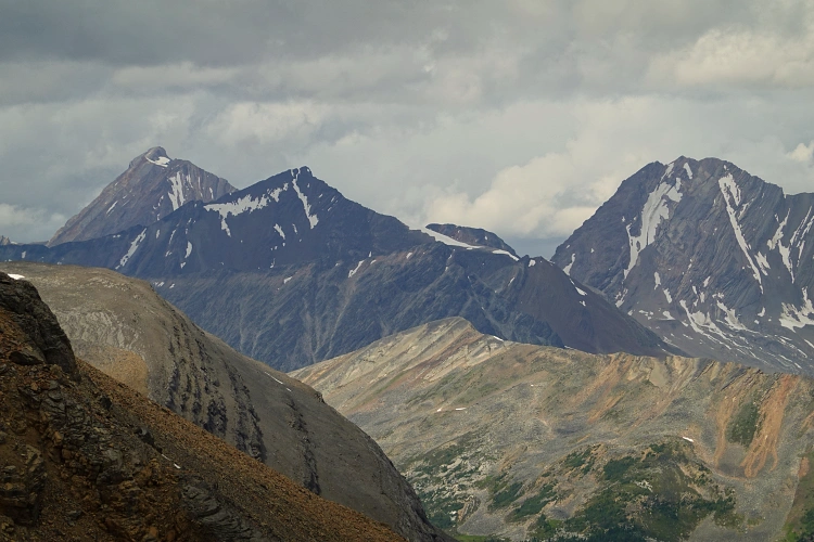
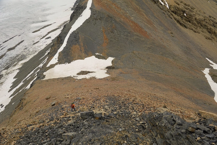
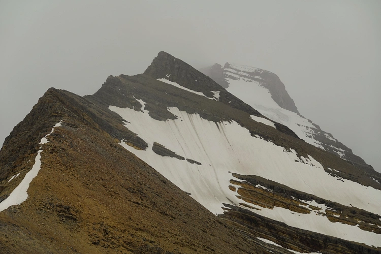
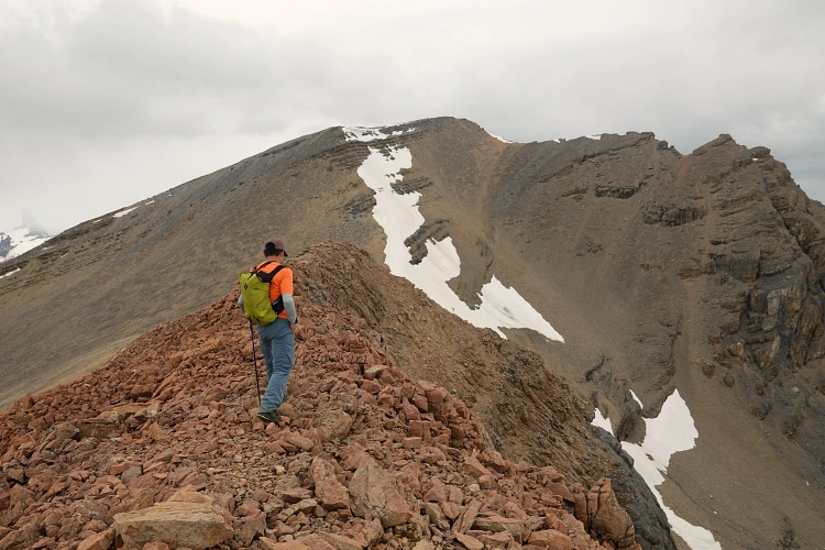
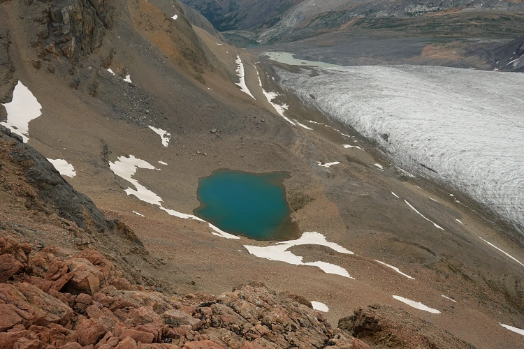
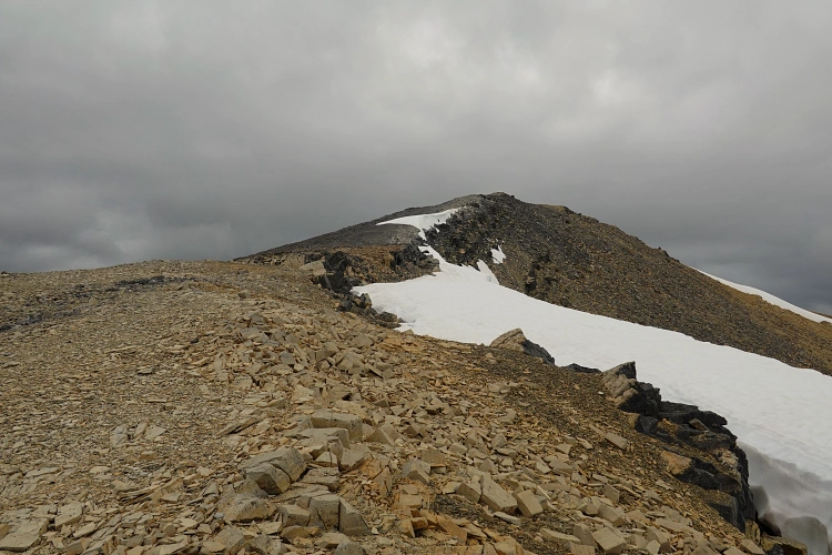
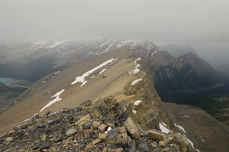
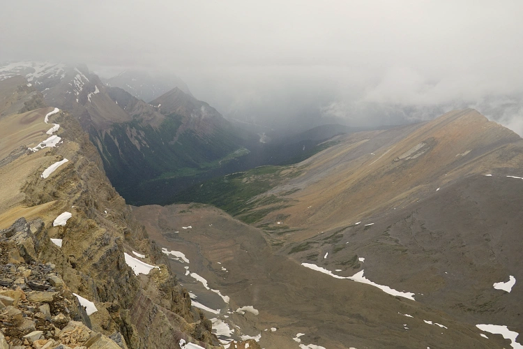
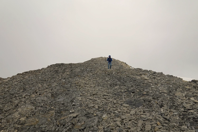
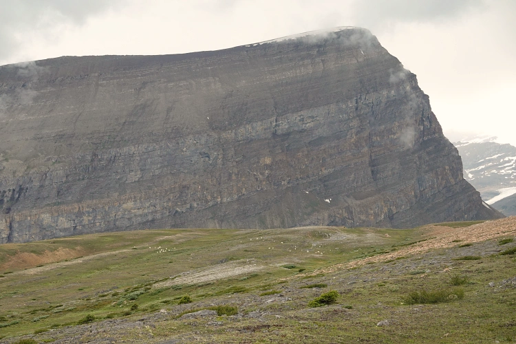
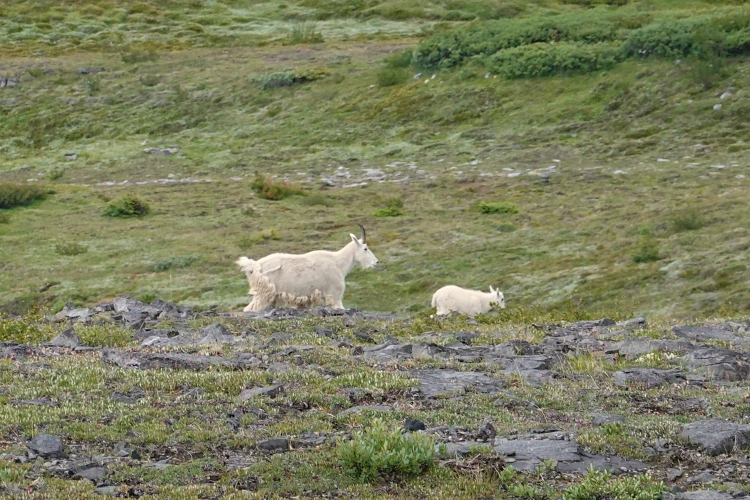
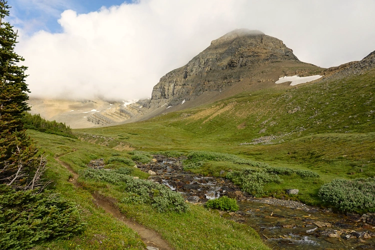
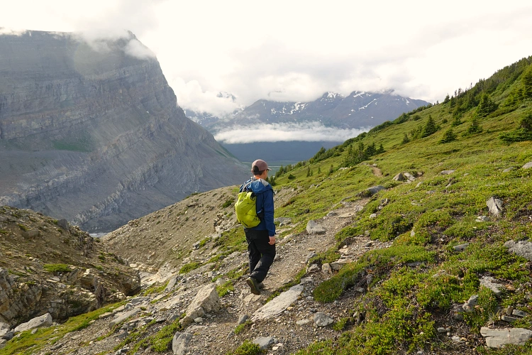
After a well-deserved lunch break and a short but unsuccessful attempt at reaching a small glacial lake just north of the pass (the rubble slopes we had to traverse to get there were horrendously loose and absolutely miserable), we decided to race against the incoming rain clouds and took the easiest line up the southeast ridge of Titkana Peak. There were faint traces of a trail here and there, probably from people coming up from the pass to get a better view from up high. The terrain was pretty easy, with almost no hands-on scrambling required. Past the false summit the route drops to a saddle, then goes up a big slope of unpleasant choss to reach the true summit of Titkana Peak. Unfortunately, we didn’t quite have the views we were looking for as shortly after our arrival the clouds moved in and it began to snow and rain. We quickly checked out yet another completely soggy summit register booklet, snapped some photos, and then headed down the SW ridge of the mountain. This is a good option for a relatively quick descent: a few stretches of welcome soft scree, the rest being just an easy walk on mostly firm ground. As we descended, the clouds disappeared and we were treated to the sight of two large herds of bright white mountain goats grazing in the lush green meadows below.
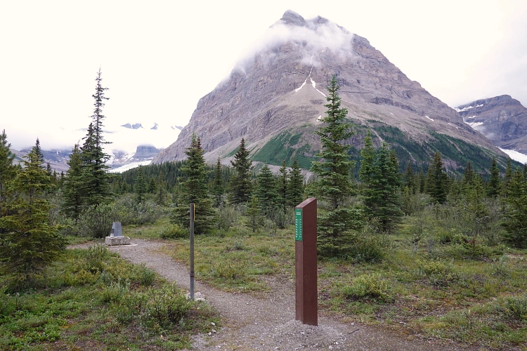
Once at the foot of the southwest ridge we enjoyed a pleasant hike across the grassy valley back to the trail. There were no more hikers around as we followed the trail out while the sun appeared and it quickly got hot again. Near Berg Lake we took a minor trail that short-cuts to Robson Pass – we had some daylight left so might as well check it out. Robson Pass was definitely quite the disappointment compared to Snowbird Pass! It has an info kiosk and a marker pylon to delineate the AB-BC boundary, plus a helipad with what looks like garbage cans nearby, but not much else. Adolphus Lake is another 500 m on the trail from here in Jasper National Park, but we left that for another day.
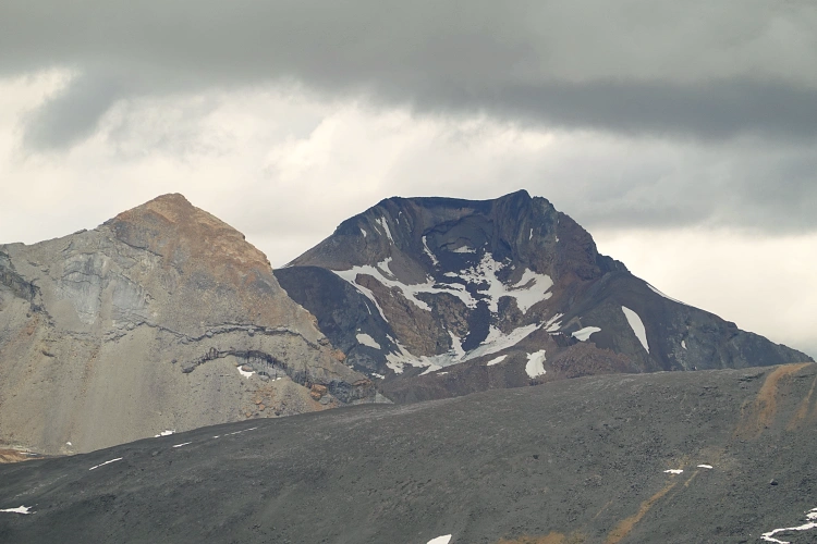
Note that Titkana Peak sits at the high point of a ridge named Tatei Ridge on the original NRCan maps. Contrary to what it says on some newer maps, the Titkana Peak summit elevation actually surpasses the high point of Tatei Ridge (not by much, but it is clearly higher). You could easily continue along the ridge to its end (as for example Vern has done), and then come down the scree slopes on the south side and navigate through rock bands to link up with the Snowbird Pass trail again.
|
Elevation: |
2829 m |
|
Elevation gain: |
1400 m |
|
Time: |
10.5 h |
|
Distance: |
23.7 km |
|
Difficulty level: |
Easy (Kane), T3 (SAC) |
|
Comments: |
Stats are from/to Berg Lake Campground. Includes short detour to Robson Pass on way back. |
|
Reference: |
Own routefinding |
|
Personal rating: |
4 (out of 5) |
NOTE: This GPX track is for personal use only. Commercial use/re-use or publication of this track on printed or digital media including but not limited to platforms, apps and websites such as AllTrails, Gaia, and OSM, requires written permission.
DISCLAIMER: Use at your own risk for general guidance only! Do not follow this GPX track blindly but use your own judgement in assessing terrain and choosing the safest route. Please read the full disclaimer here.