Forestry Trunk Rd, AB, Canada
2 August 2022
Solo
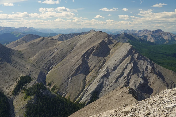
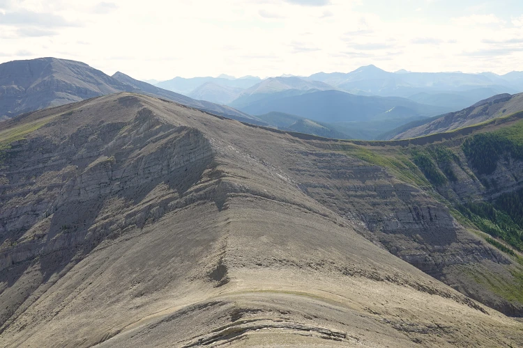
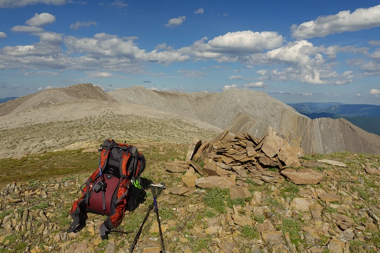
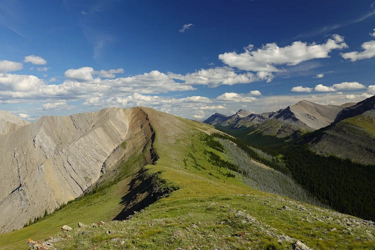
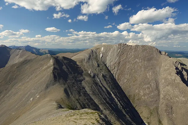
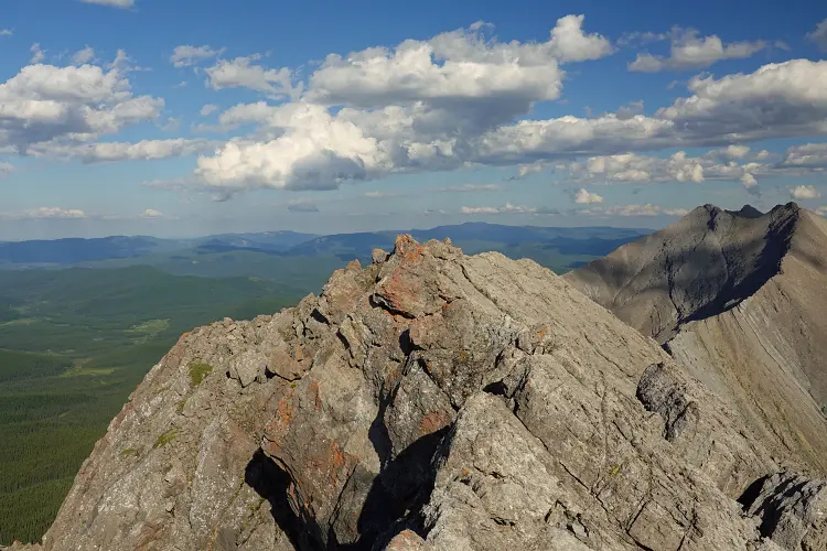
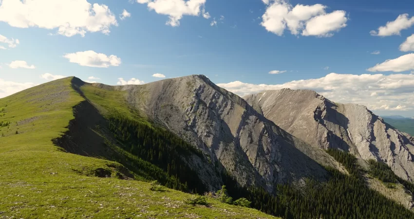
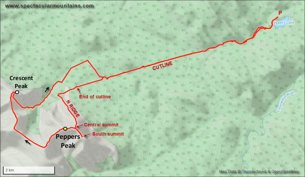
From the summit of Peppers Peak, I decided to extend my day by exploring a way to get to the next major summit to the north, which I refer to here as “Crescent Peak” after Crescent Creek further east. A straightforward way to get there is the long ridge that curves around the valley between the two peaks. It turns out this is an absolutely delightful ridgewalk that takes you over a series of high points and saddles made up of red shale, broken up grey limestone, and verdant green meadows. It also added at least four hours to my day, and there’s not source of water on this route until you’re almost back in the valley again.
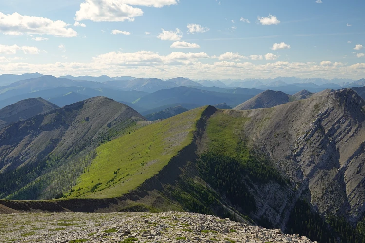
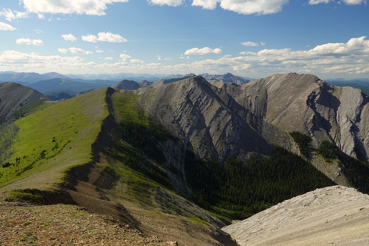
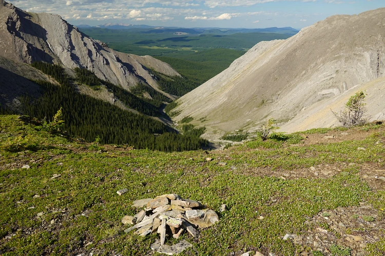
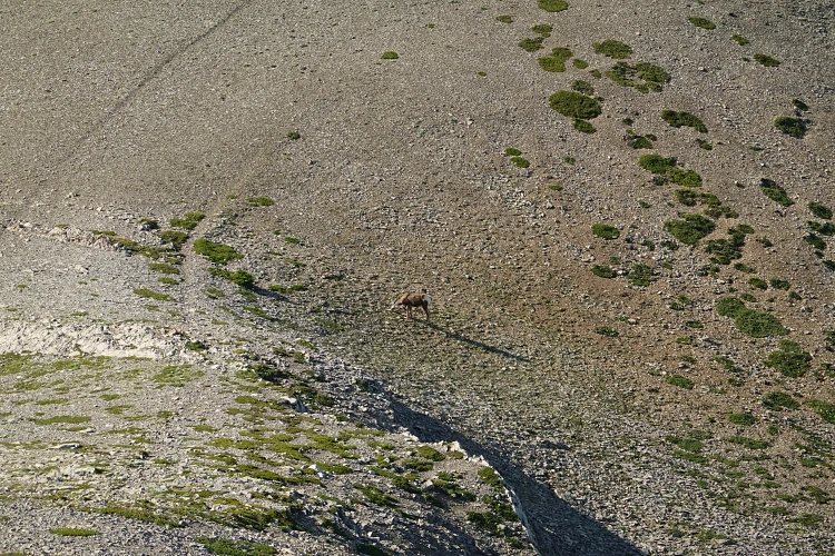
There were no major hurdles and almost all of the route to Crescent was a hike, with a few sections of easy scrambling thrown in. Occasional goat trails made it easier to navigate around bands of broken up rock. At the low point along the ridge, almost half-way between the two peaks, I came across an old, flat cairn that looks like it marks the point where you could descend down the east side of the ridge if you had to bail. On the west side the slopes are gentle and grassy, and in theory you could hike down that valley to reach Ranger Creek although that would leave you a long way from your car with no easy way to get back.
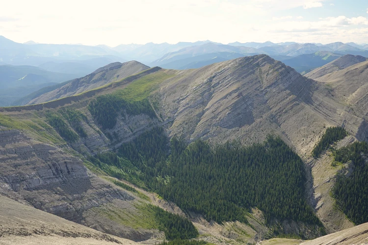
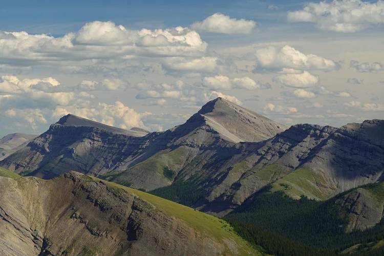
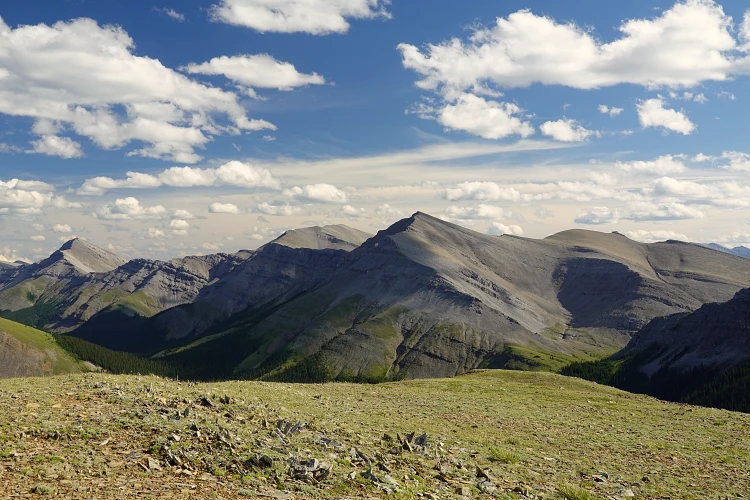
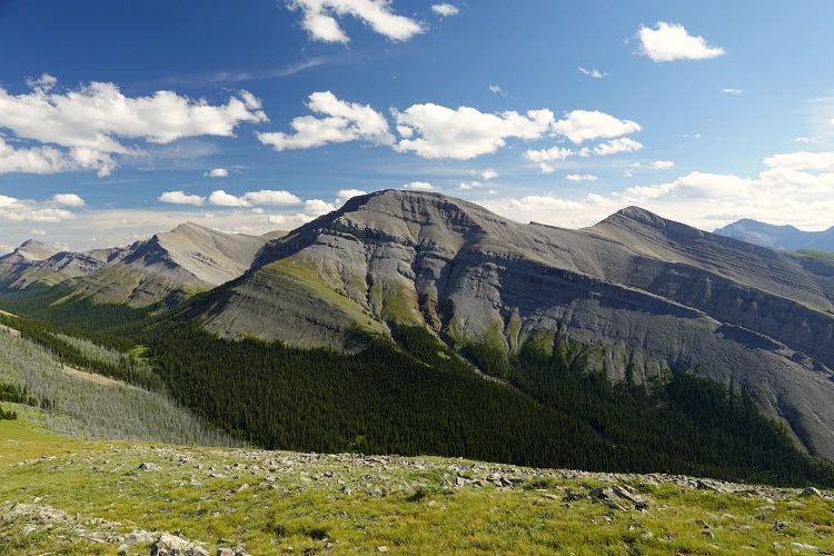
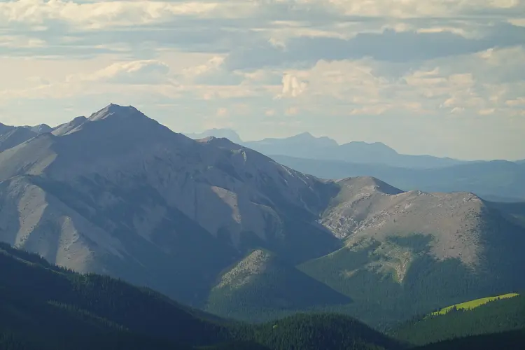
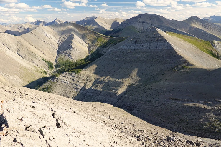
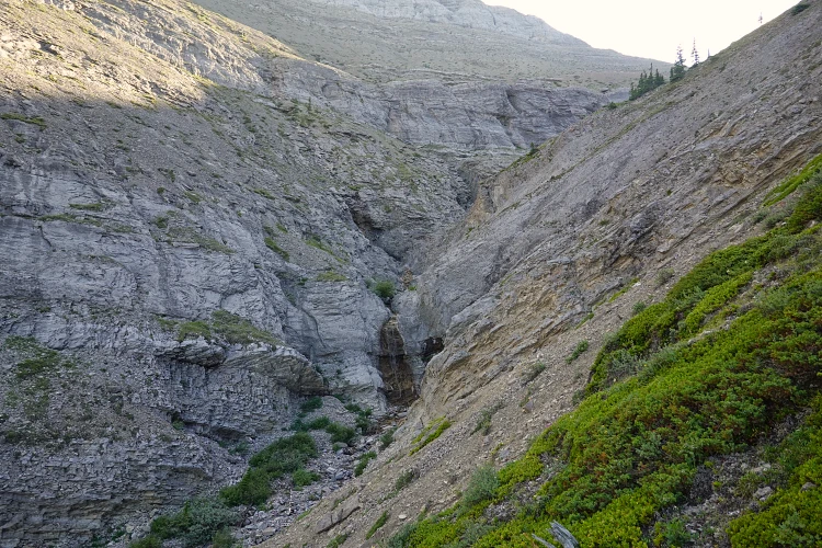
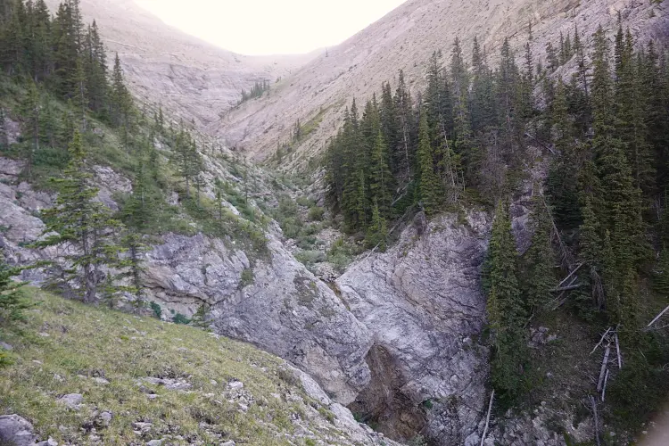
About two hours after leaving Peppers Peak summit I reached the top of Crescent, enjoying amazing views of the whole valley between them but now from the north. I can never get enough of landscapes like this, so it was definitely worth the extra effort to do the whole loop! For my descent I picked the drainage directly to the southwest of the summit. It’s broad and open in the upper part, but of course looks can be deceiving when you’re up high and you never know what obstacles may be lurking below. Sure enough, there were at least two major drop-offs lower down where the drainage narrowed and became more convoluted. I bypassed them on steep, rubbly terrain on skier’s left or wooded slopes on skier’s right, until eventually the angle eased off and the drainage opened up again. Plus, I was now finally able to fill up my depleted water reservoirs again.
To complete the loop, I followed the drainage until I hit the start of a cutline on the south side of the valley that linked up with my original approach cutline. The return trip to Peppers Lake was long and tedious, but at least it was simple – a straight line back! I arrived at the campground in the middle of the night after an exhausting but very rewarding trip and decided to just sleep in my van and drive back to the city the next day.
NOTE: This GPX track is for personal use only. Commercial use/re-use or publication of this track on printed or digital media including but not limited to platforms, apps and websites such as AllTrails, Gaia, and OSM, requires written permission.
DISCLAIMER: Use at your own risk for general guidance only! Do not follow this GPX track blindly but use your own judgement in assessing terrain and choosing the safest route. Please read the full disclaimer here.