Elkford, BC, Canada
25 September 2021
Solo
Grand views of the Continental Divide and a cool rock bridge
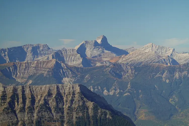
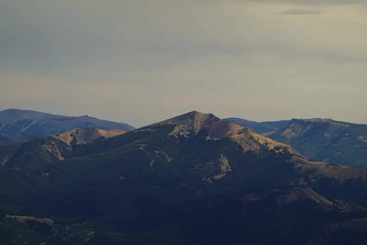
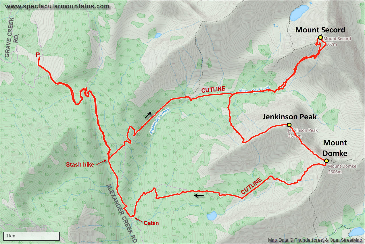
After scrambling up Gaff Peak further west the day before, today’s objectives of my 3-day excursion to the Elkford, BC, area were a trio of infrequently ascended Continental Divide peaks: Mount Secord, Jenkinson Peak, and Mount Domke.
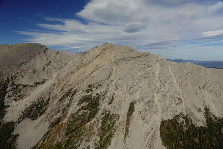
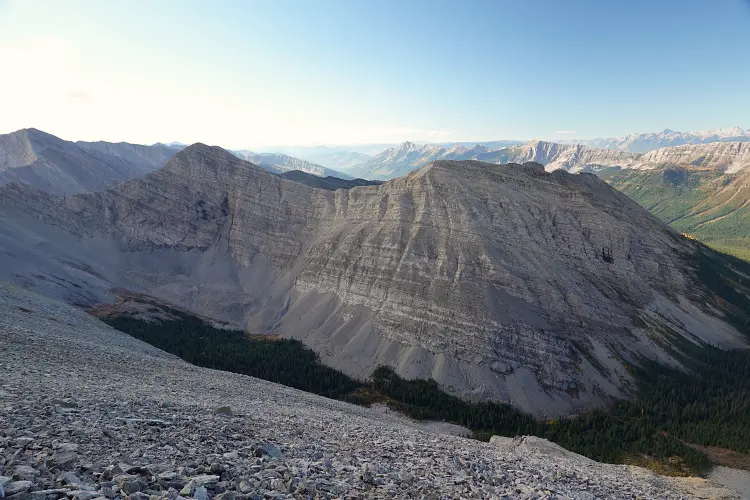
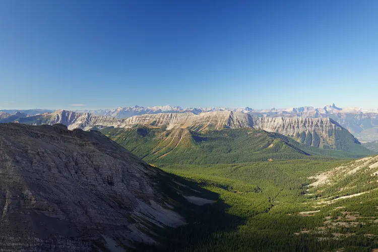
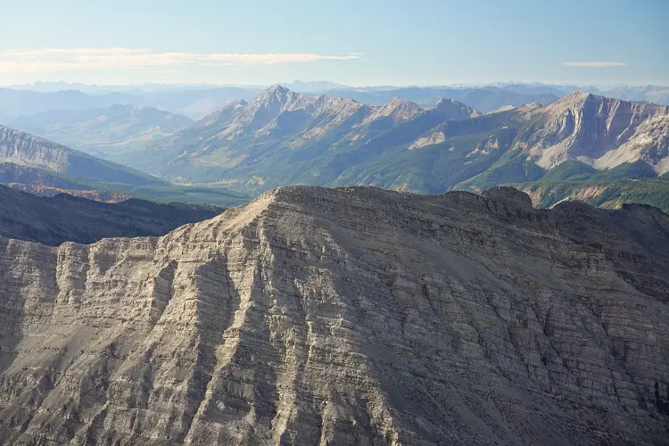
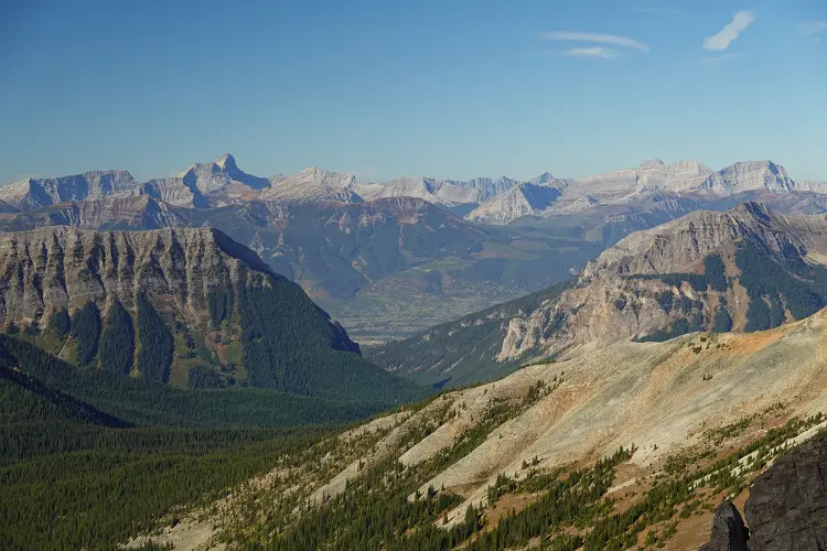
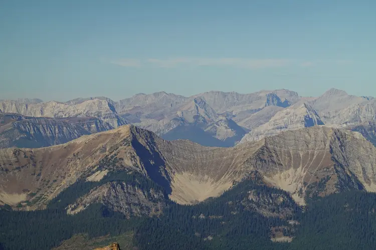
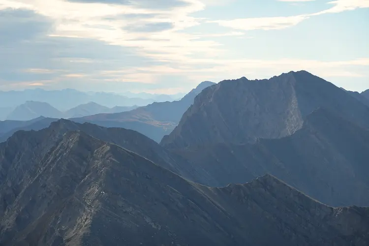
These three mountains are in the High Rock Range south of Mount Erris, but unlike the latter they are more easily accessed from west-facing slopes rather than the steep, vertical cliffs that drop off on the east side. While some folks access them from the Crowsnest area via the Alexander Creek Road, which is more of a rough gravel track than a road, I opted to come in from the Grave Creek Road directly to the west.
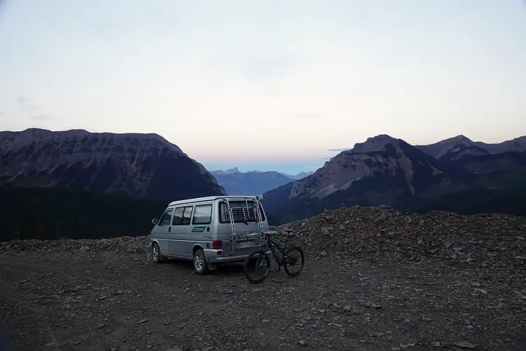
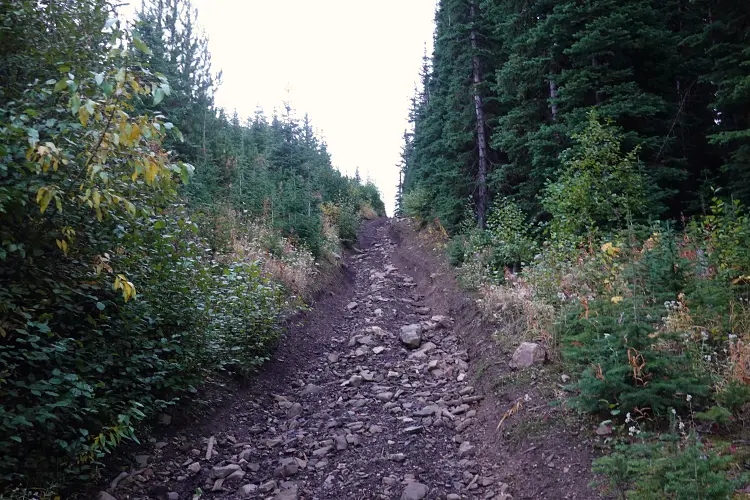
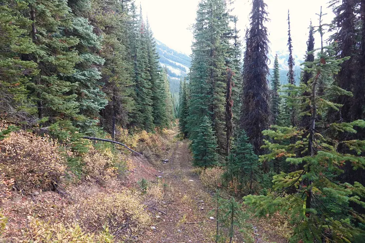
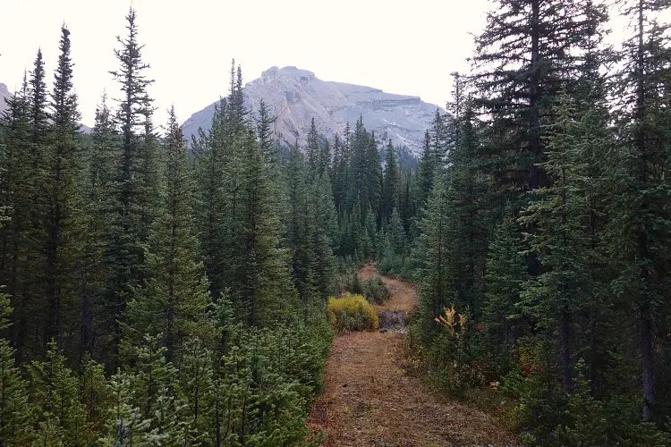
The night before, I managed to drive my van all the way to the end of a fairly decent old logging road that goes up the east side of the valley for about 1.5 km from the Grave Creek Rd. After an early start I covered the first few kilometres by bike to save some time as I knew this would be a long day! The first section was a rough OHV track running southeast from where I parked, intersecting with the main north-south “road” at about the 1.6 km mark. Here I turned south and rode downhill for 3.5 km to the start of an arrow-straight cutline branching off to the left (east). I stashed my bike here as this was the link-up point for my planned loop route.
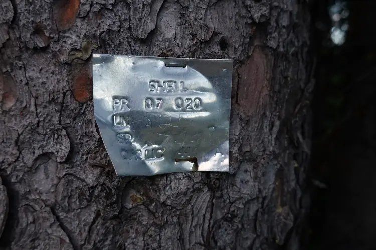
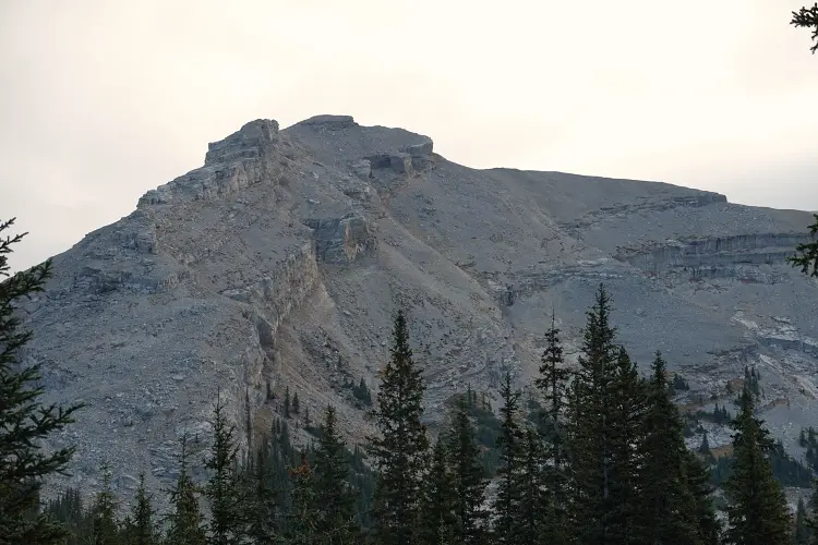
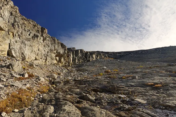
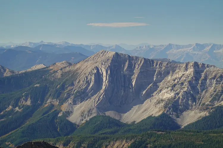
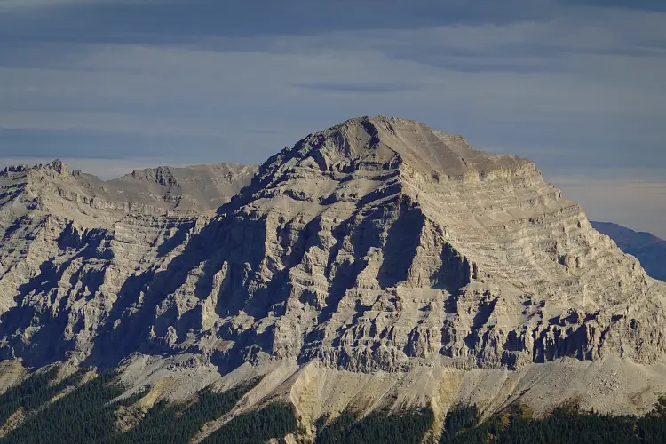
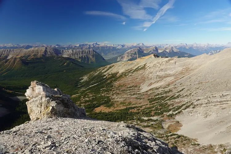
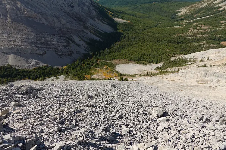
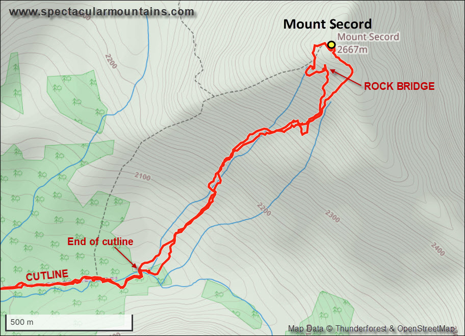
This cutline, a former Shell seismic line, is in pretty good shape and appears to see occasional travel. It gets you into the heart of the valley nestled between Jenkinson Peak, Mount Secord, and Mount Pegahmagabow (aka Erris S3), so a great approach trail for all three objectives. At the end of the cutline I only had to cross about 100-200 m of light forest to emerge on the open southwest slopes of Mount Secord. My route took me up a minor rib to the last few trees, where I veered right across slabs not far below a vertical rock band that diagonally cuts across the slope. The rock band tapers off half way up where I could clamber up a break before tramping up rubbly slopes directly to the summit mass with minimal difficulties. Here, I had to contour around the right (east) to avoid some steep cliffs immediately below the summit, but you could also circumvent the cliffs on the left side by dropping down a few metres.
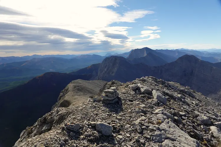
A neatly stacked cairn, round and flat in shape, adorns the summit. It was built by local explorer Allan Schierman, who has climbed more peaks in this part of the Rockies than anyone else I know.
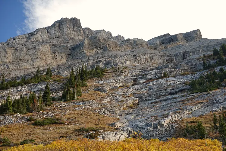
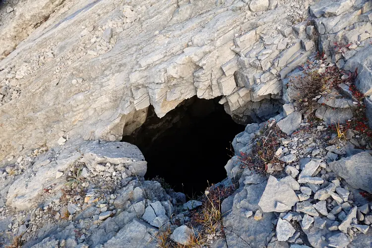
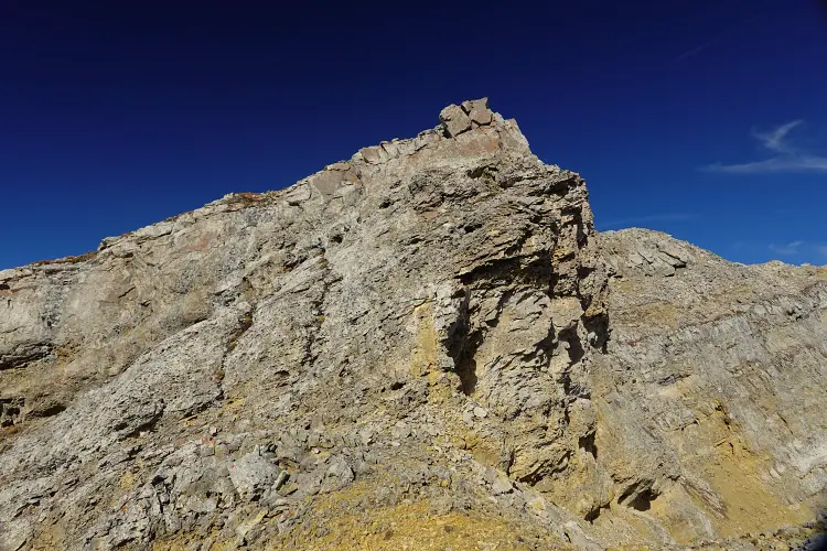
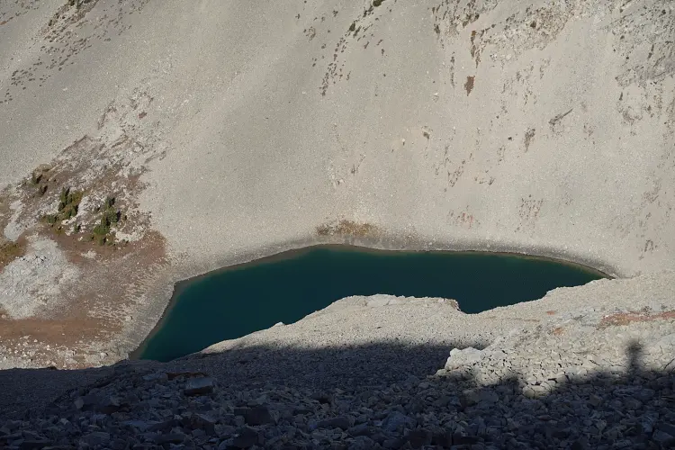
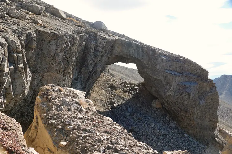
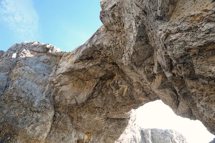
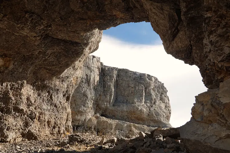
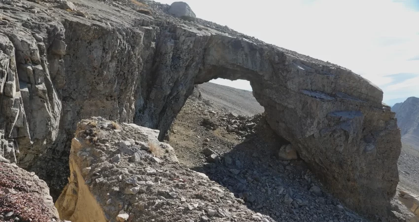
For the descent I used exactly the same route, with the exception of the very top part where I descended on the southwest side of the summit mass to see if I could find a prominent rock bridge I had noticed on the way up. Not far below the summit there are broken up blocks of limestone to get through the cliff band on the mountain’s south side. At the bottom of the cliff I looked left, and there it was… a huge rock bridge that you can step through. The space inside is about the size of a small house and it’s pretty cool to visit!
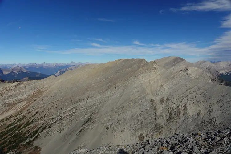
After hiking back down Secord’s SW slopes, I backtracked along the cutline for about 900 m before making a sharp turn south to climb the ridge that extends west from Jenkinson Peak, my next destination.
|
Elevation: |
2672 m (Mount Secord) |
|
Elevation gain: |
2090 m |
|
Time: |
11.0 h |
|
Distance: |
23.9 km |
|
Difficulty level: |
Moderate (Kane), T4 (SAC) |
|
Comments: |
Stats for all 3 peaks. |
|
Reference: |
No info was available to me prior to trip |
|
Personal rating: |
5 (out of 5) |
NOTE: This GPX track is for personal use only. Commercial use/re-use or publication of this track on printed or digital media including but not limited to platforms, apps and websites such as AllTrails, Gaia, and OSM, requires written permission.
DISCLAIMER: Use at your own risk for general guidance only! Do not follow this GPX track blindly but use your own judgement in assessing terrain and choosing the safest route. Please read the full disclaimer here.