Forestry Trunk Rd, AB, Canada
2 August 2022
Solo
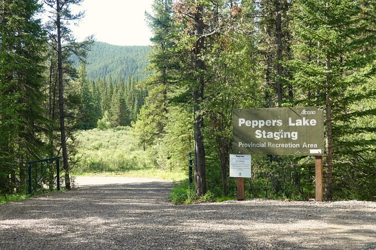
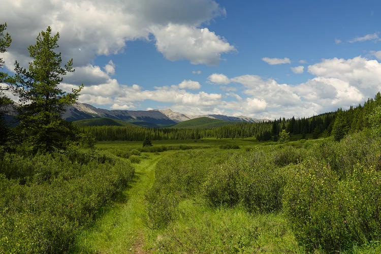
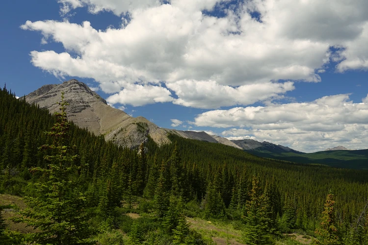
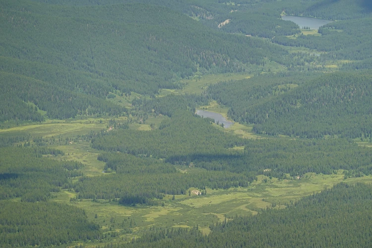
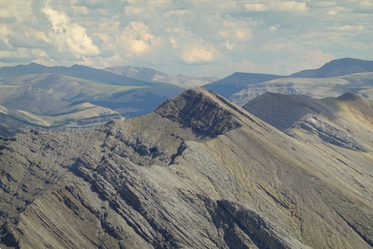
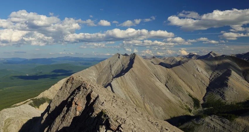
This broad, distinctive front range peak had caught my attention multiple times in past years while driving the Forestry Trunk Road between the Cutoff Creek and Hummingbird areas. It’s broad north-south ridge and steep east face can be readily seen from the section of road north of Elk Creek provincial recreational area and south of Ram Falls. Officially unnamed, I decided to dub it “Peppers Peak” after Peppers Lake that sits just to the east.
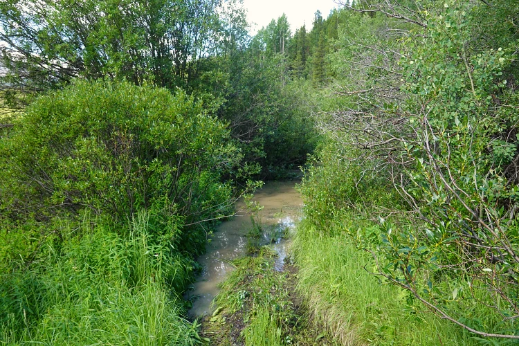
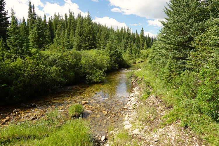
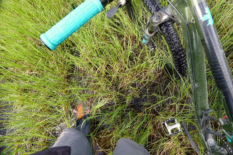
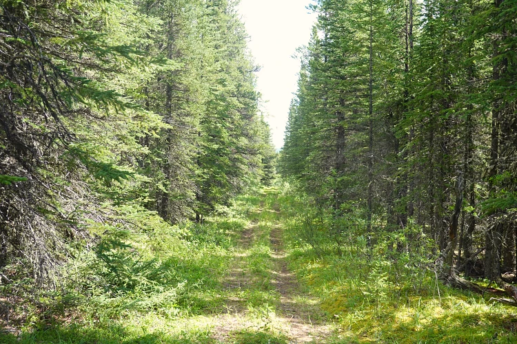
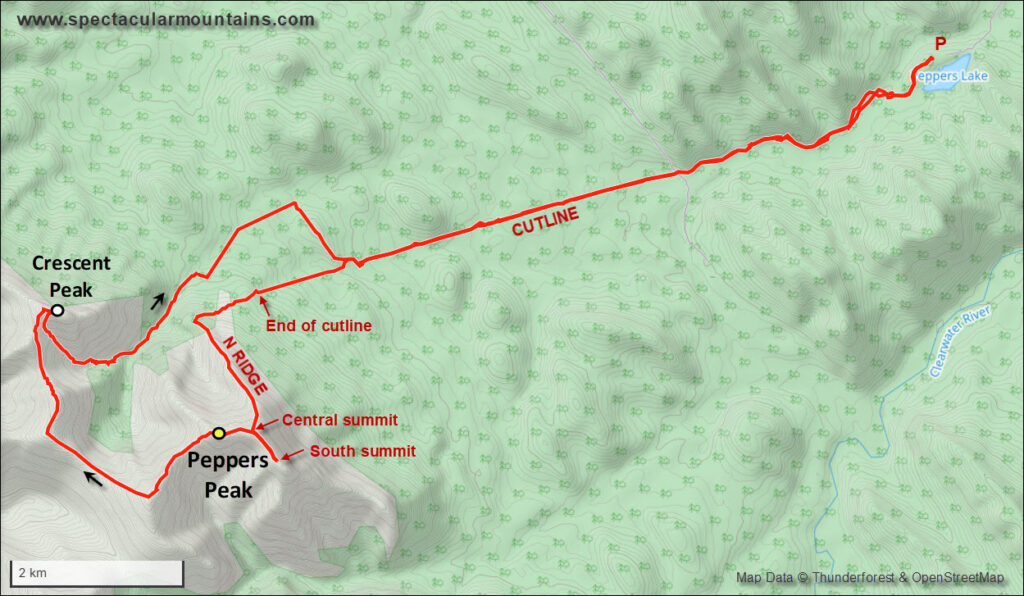
This is definitely a LONG outing for a day trip from Calgary! The drive alone is about 2.5 to 3 hours one-way. After starting out late from the Peppers Lake campground, I figured my mountain bike would help speed things up on the lengthy approach. There are basically a number of cutlines and OHV tracks that crisscross the foothills east of the mountain, and several approach variations are possible (e.g. Adam and Eph who approached from the NE a couple years later). I liked the Peppers Lake approach, but my bike was not very helpful as several parts of the initial tracks were boggy. You will most likely get your feet wet in these parts (as I definitely did), so perhaps the best time to do this trip is late fall or winter when the ground is frozen.
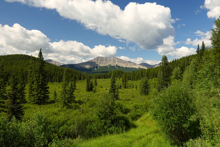
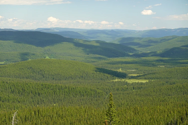
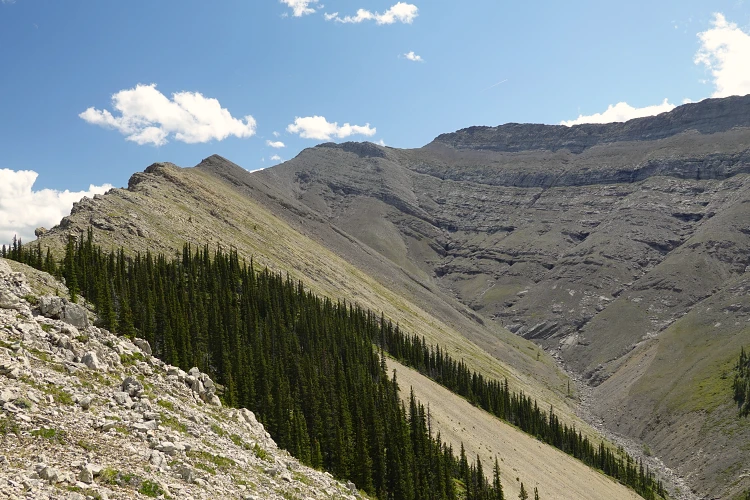
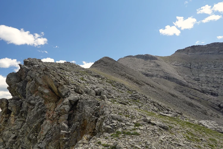
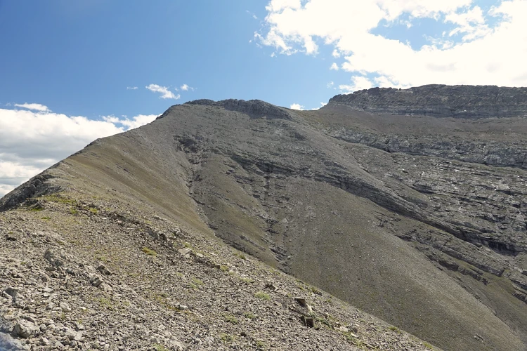
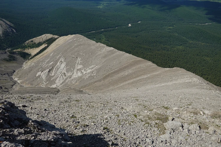
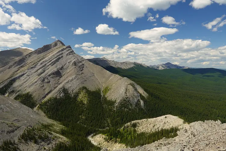
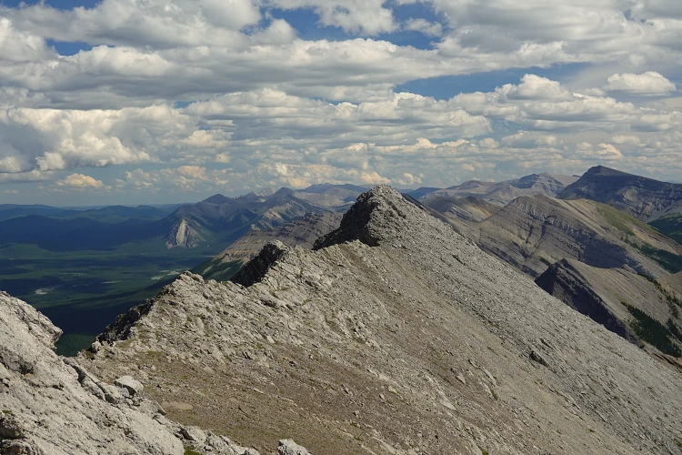
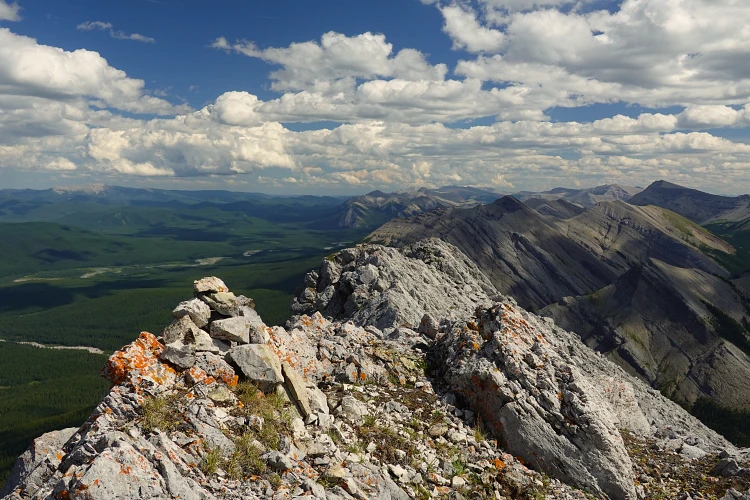
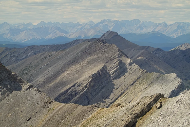
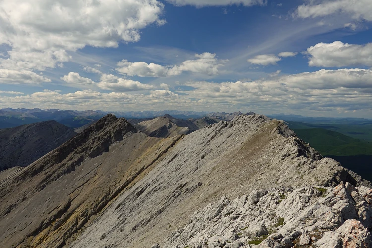
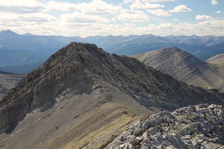
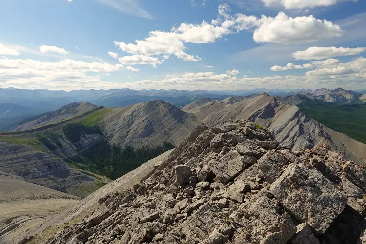
After several hours of biking, pushing, wading, and finally dumping my bike and hiking, I reached the end of the long east-west cutline that goes almost to the start of the ascent ridge, the north ridge. There was a bit of light bushwhacking, then I was on an easy and enjoyable ridge that took me directly to the central high point where I found an old, lichen-covered cairn. There is also a southern high point that’s easily reached via the pleasant summit ridge. I then continued west towards the western high point (the true summit at 2430 m), which required a few moderate steps to climb up a cliff band just below the summit. The views from up here are pretty amazing! A mix of undulating ridges of grey limestone, red shale, and lush green meadows that cover the landscape.
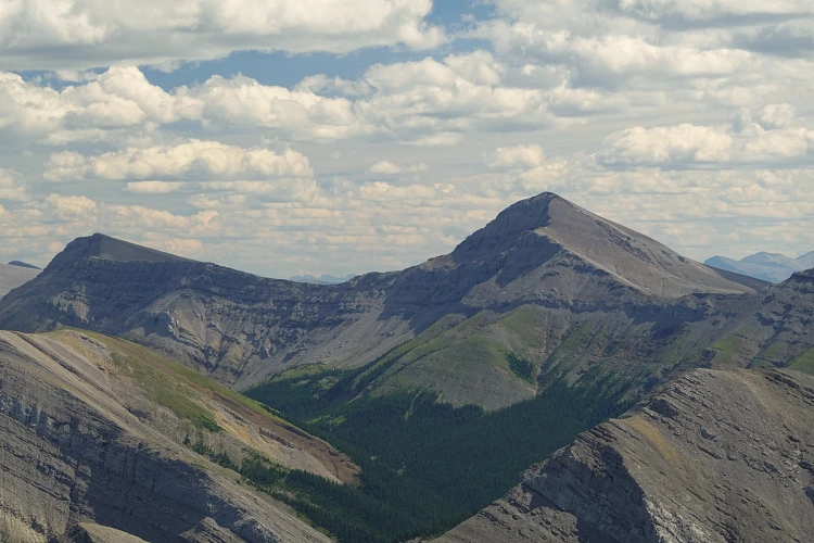
I took a nice long break on this lovely summer day and then decided to continue further west to circle around the entire valley towards Crescent Peak.
Note that the easiest return would be to just retrace your steps back the NE ridge.
NOTE: This GPX track is for personal use only. Commercial use/re-use or publication of this track on printed or digital media including but not limited to platforms, apps and websites such as AllTrails, Gaia, and OSM, requires written permission.
DISCLAIMER: Use at your own risk for general guidance only! Do not follow this GPX track blindly but use your own judgement in assessing terrain and choosing the safest route. Please read the full disclaimer here.