31 August 2013
Solo
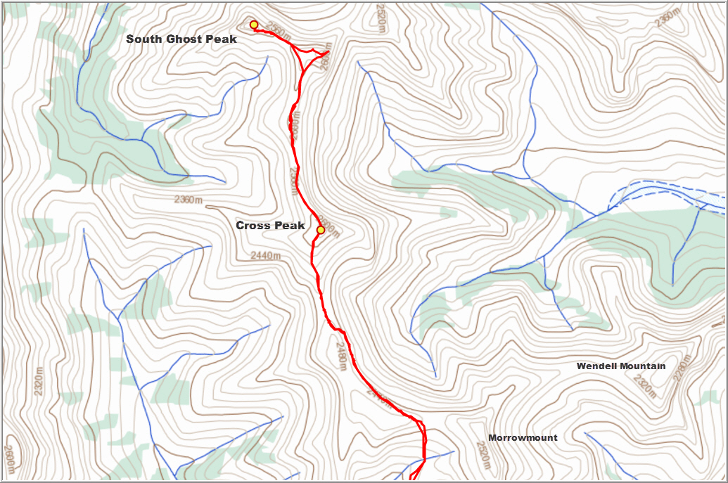
After scoping out a route to “Cross Peak” the week before on an unsuccessful attempt to make it all the way to South Ghost Peak, I returned to continue my exploratory tour – but this time with a 6 am start to leave me with plenty of time to complete the task. Thankfully, all the cairns I had built a week earlier were still there and my memory was fresh, which somewhat accelerated the return to Cross Peak.
To my surprise, no further difficulties were involved along the remaining 1.5 km of ridge between Cross Peak and South Ghost Peak. One cliff band necessitated a small detour and an easy scramble down a short gully, but the rest was simply an enjoyable ridge walk and then a moderate scramble up the slightly higher West summit. This is the main summit shown on Google maps and I recorded an elevation of 2645 m. No summit cairn was found and of course no register either. I left a simple container with a booklet – one day I will return to see how many people have actually made it up here, if the register is still there then. From the main peak it is only a 20-25 min walk to the East summit, a double summit in itself with an orange shale “dune” (the same shale that is found at the end of Jura Creek) and a slightly higher light grey rock outcrop (2620 m). Here, you are directly west of Association Peak and End Mountain, and the perspective grants some fine views of normally unseen valleys and peaks.
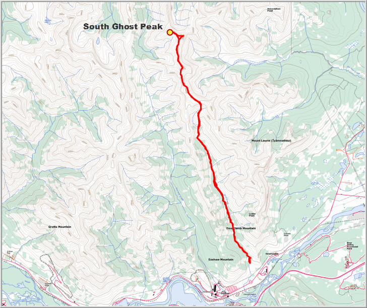
Overall this was a long but very enjoyable scramble that I would rate as moderate to difficult because of the significant route finding involved and the short climb with exposure. It’s a long approach (3-4 hours up Jura Creek to the col) and a long ridge walk, but the views are beautiful and you’re most certainly guaranteed to have it all to yourself!
DISCLAIMER: Use at your own risk for general guidance only! Do not follow this GPX track blindly but use your own judgement in assessing terrain and choosing the safest route.
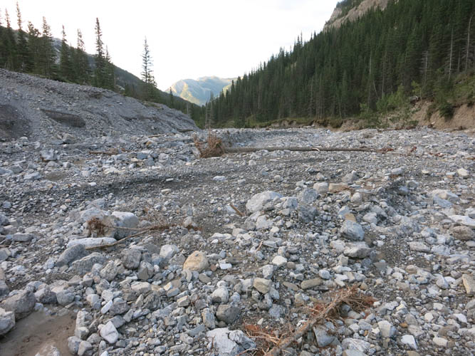
Jura Creek after the floods of June 2013. The damage is not nearly as bad as in other creek beds, such as the one leading up to Mount Inglismaldie.

Near the northern end of Jura Creek. The notch between the orange shale and the grey solid rock is the access gate to go further along the north ridge.
View from the notch towards the south. Jura Creek seems to go on forever!
View from the notch towards the north, showing the steepish eastern slopes extending down from the N-S ridge. Cross Peak just right of centre.
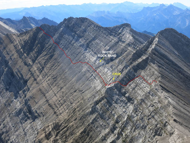
The short section where the white rock band needs to be overcome.
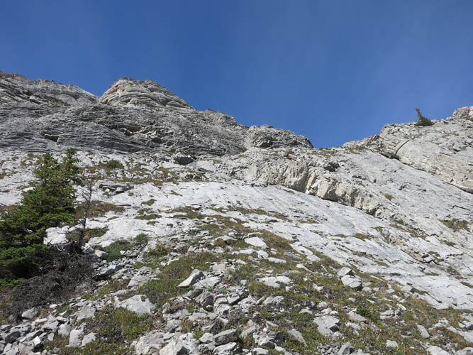
The way up the white rock band.
Looking down the crux at the dark grey rock band.
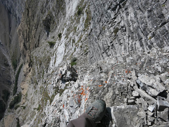
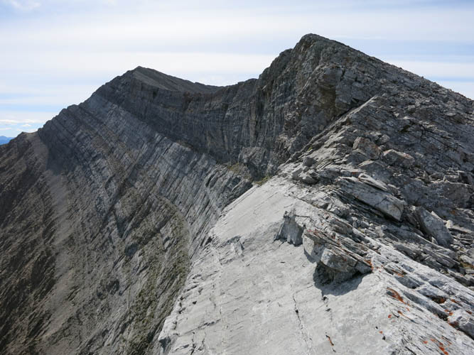
Rubbly ledges are the key to traversing the escarpment.
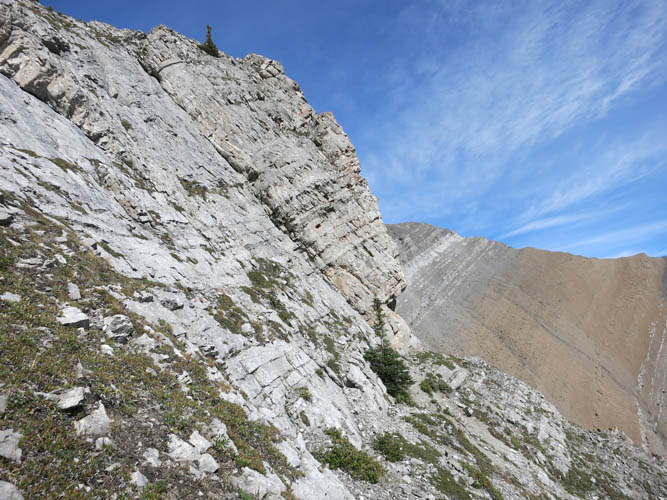
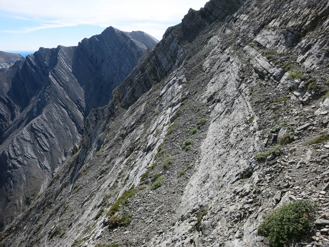
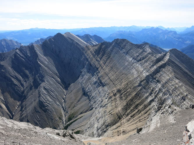
Looking back (south) towards the ledge system on the east facing escarpment of the ridge from Cross Peak.
Close-up view from Cross Peak to the south.
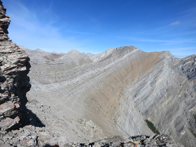
Close-up view from Cross Peak to the south with approximate route. Morrowshaw Peak in the centre. The “notch” is at the far left end of the red line.
Another view to the south. The double summit of Morrowmount can be seen on the left.
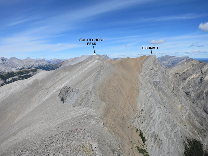
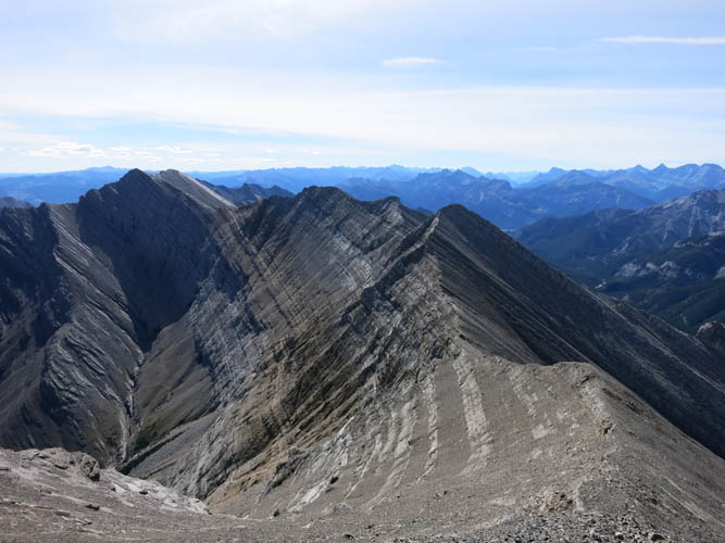
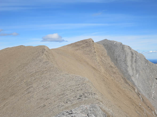
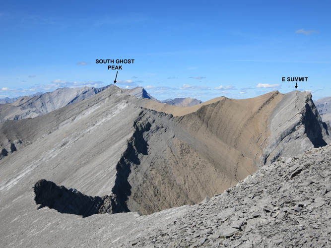
Looking north from Cross Peak towards the two summits of South Ghost Peak.
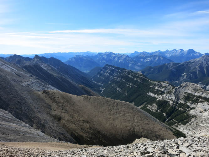
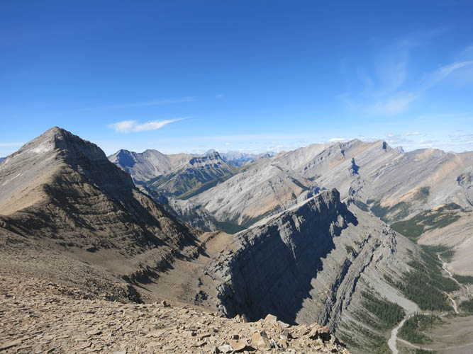
A perfect day to do some exploring! The flat topped, table-like shape of End Mountain appears on the far right end of the horizon.
Along the ridge between Cross Peak and South Ghost Peak.
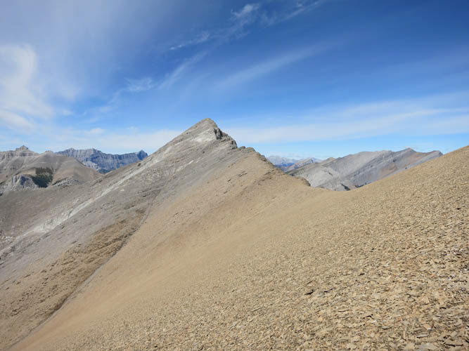
Nearing the east summit of South Ghost Peak. Lots of loose brown shale here – it’s easy to walk on!
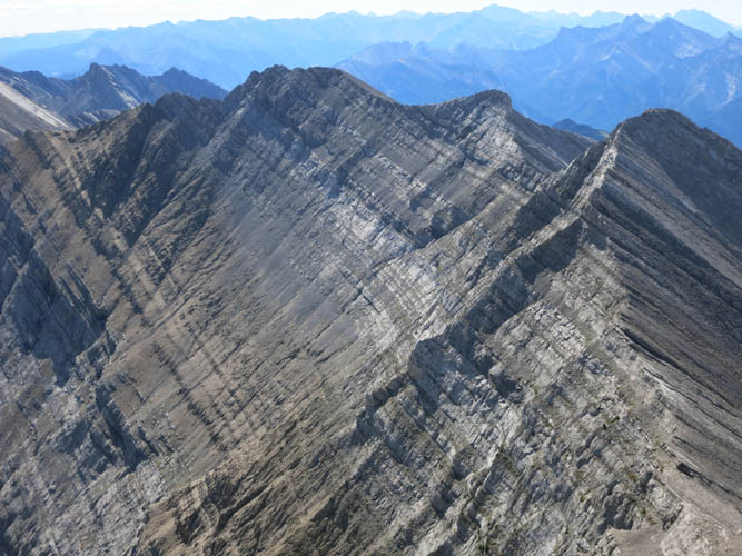
From the east summit, it’s a short hike to the main (west) summit of South Ghost Peak. Only the last bit where grey rock bands appear presents any sort of challenge.

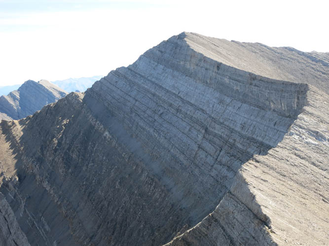
Close-up of South Ghost Peak, main (West) summit.
Saddle Peak is to the north, with its dried out tributaries of the South Ghost River below.

The north face of the main summit is pretty steep.
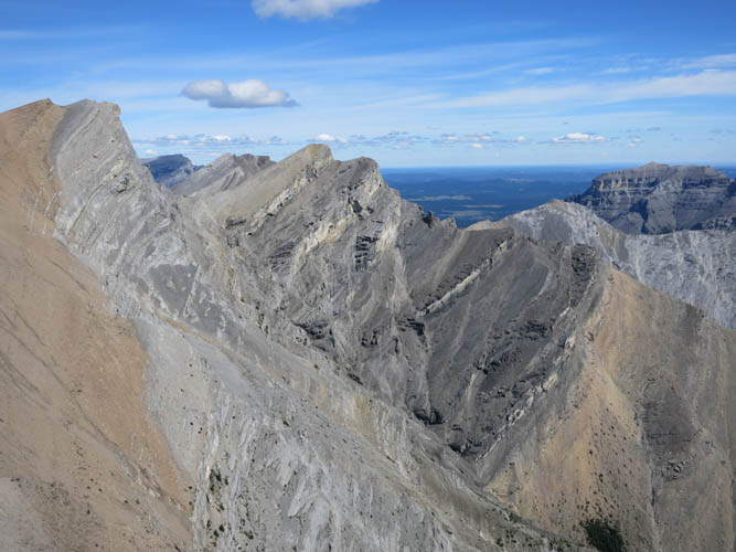
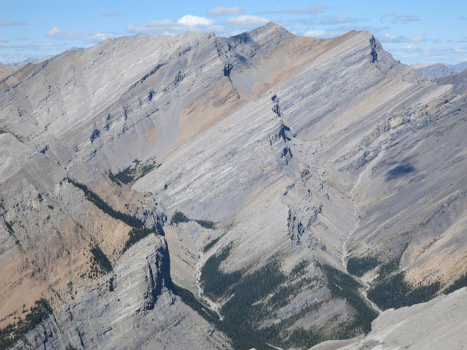
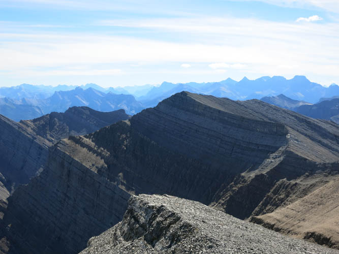
Looking WNW from the east summit: lots of rarely visited peaks and valleys.
It certainly feels a little remote here in this area. In the distance towards the south are Cross Peak (centre) and the “notch” on the ridge behind and to the left of that.
Close-up of the ridge walk towards Cross Peak (looking south).
A last look back at the two summits of South Ghost Peak from Cross Peak in the late afternoon sun.