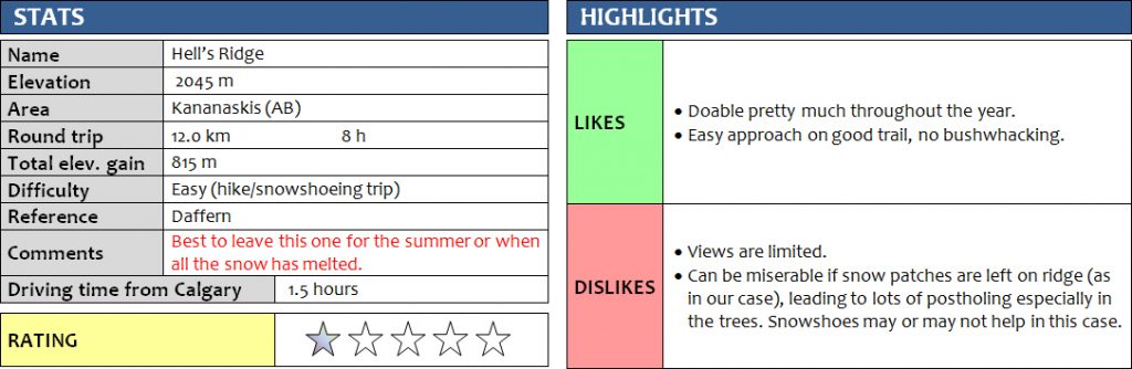
18 March 2017
With Wen
This was almost hell. Gillean Daffern (Kananaskis Country Trail Guide Vol 5) says that Hell’s Ridge was named after a local rancher who had “a hell of a time rounding up his cattle” on the slopes of this ridge. I for one think it was because someone hiked it in winter and found wading through waist-deep snow along this bumpy ridge to be hell – as was the case for us. My low rating above is thus, as always, a highly subjective view and the result of one of the most miserable days I’ve had in the mountains. Granted, hiking along this ridge in the summer would be an entirely different experience and probably a great day out, so my rating really only applies to winter/shoulder season.
The day started off with a light drizzle, which never stopped and turned into rain later on in the day. With an exceptionally high avalanche risk throughout most of Kananaskis and elsewhere in the mountains, we were limited to low-lying ridges at the very edge of the Front Ranges where there was no risk of a slide (mostly due to lack of snow). Having had some wonderful outings in southern Kananaskis in the last few weeks, I decided to come back and introduce the area to Wen.
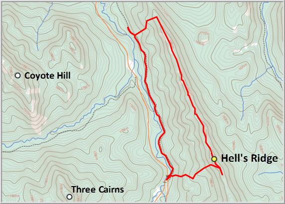
We decided to do a loop including the northern part of the ridge in a clockwise direction, hoping for the rain to die down during the day. The approach on Lower Etherington Creek Trail was packed and we didn’t see much snow on the ridge, so we left our snowshoes in the car (big mistake!). The trail is in the trees and quite boring due to a complete lack of views. A small cairn and flagging mark the spot where we ascended through light forest and open meadows to the ridge top. We were both surprised how quickly we attained the ridge. A few scrambly steps got us onto the spine of the rocky ridge, with forest and lots of deep snow to our left (east).
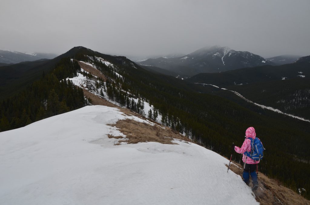
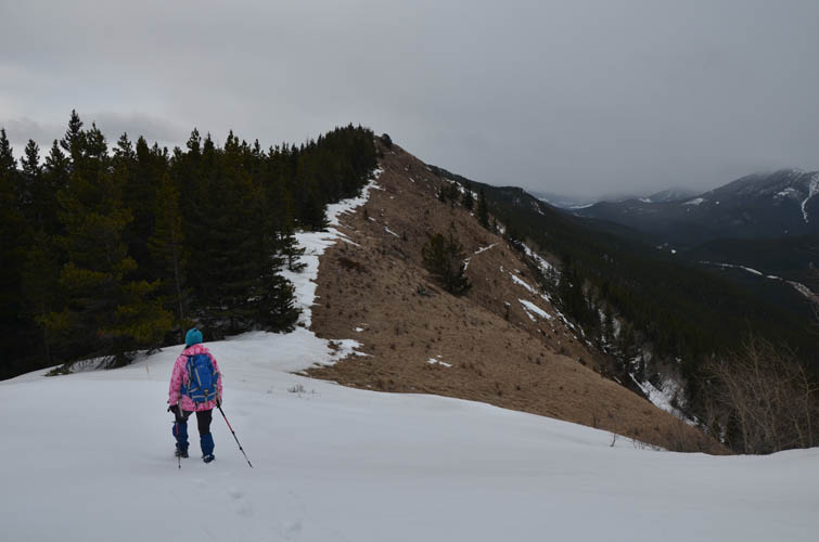
As we headed off in a southerly direction, we quickly realized that progress would be quite slow today. This wasn’t an easy ridge walk along a nice open trail, this was an obstacle course with patches of deep snow, trees, shrubs and rocky ledges along the way! We zig-zagged our way through this as best as we could, but our pace was still painfully slow. Views were quite limited: there is a brief appearance of Junction Hill and the imposing syncline of Holy Cross Mountain to the north, otherwise it is the rather modest-looking wooded Coyote Hill and Three Cairns that follow you to the west. Only about 10% of our route along the ridge was nice open meadow where we easily strolled parallel to all the snow that made this trip so draining. Snowshoes would’ve probably helped, but I suspect it would have been just as time-consuming as lots of switching between snowshoes and boots would’ve been necessary. In addition, there are lots of small bumps along this ridge and all the ups and downs really slow you down where you have to wade through soft, unsupportive snow.
The “summit” bump really didn’t feel like a proper summit, being in the middle of the trees. We ventured a bit further south along the ridge but soon had enough of the rain and the deep snow and started to head back down towards the road. At the very least, the soft snow made our descent quick and painless (there is occasional orange flagging in places).
Not the best day out in the mountains, but a good work-out with great company nonetheless!
DISCLAIMER: Use at your own risk for general guidance only! Do not follow this GPX track blindly but use your own judgement in assessing terrain and choosing the safest route.
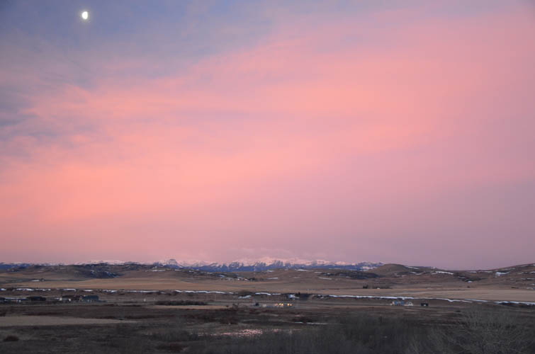
Rose-coloured morning glow over Longview and the Front Ranges behind.
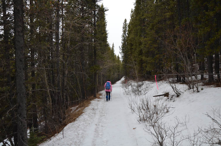
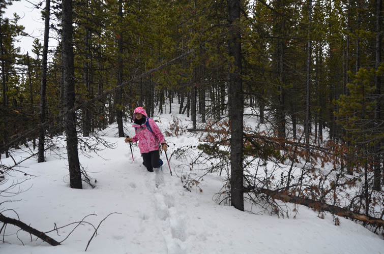
Lower Etherington Creek Trail.
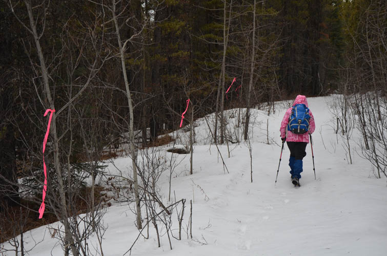
Someone had too much pink flagging it seems! Why there is a piece of ribbon every 5 m is a mystery to me.
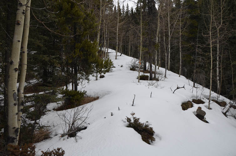
A small cairn marks the ascent route up to the ridge along the north end.
Easy hiking on open meadows.
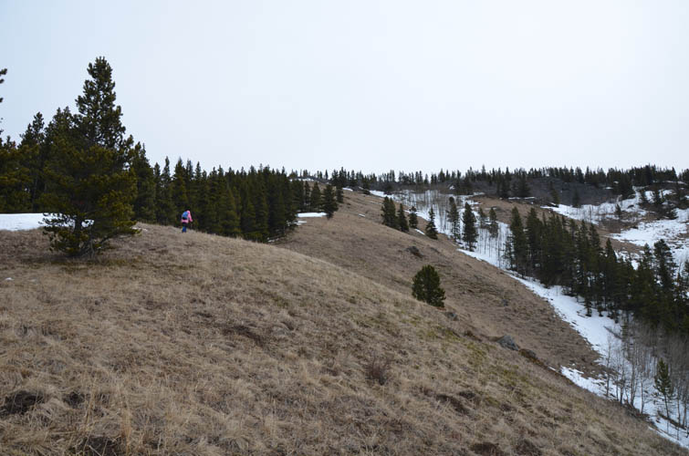
Almost at the ridge!
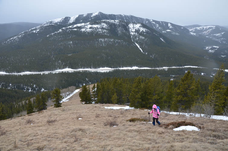
Looking south along Hell’s Ridge: lots of minor ups and downs here.
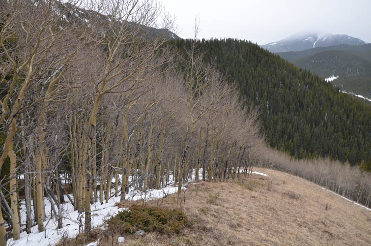
Coyote Hill lies to the west across Hwy 940.
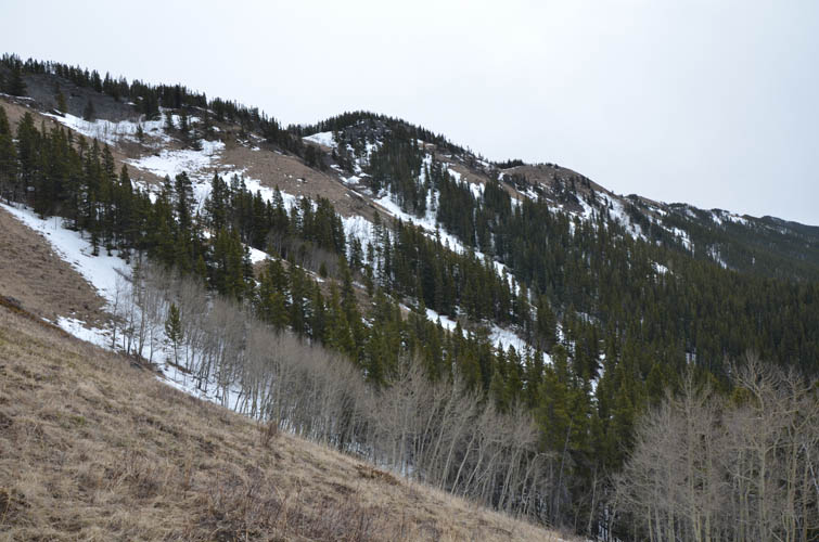
Much of the terrain along the ridge looks like this: trees, shrubs and weathered rock.
One of the rare stretches along the ridge that has open grassy slopes.

Looking back north along the ridge. Junction Hill pops out in the background.
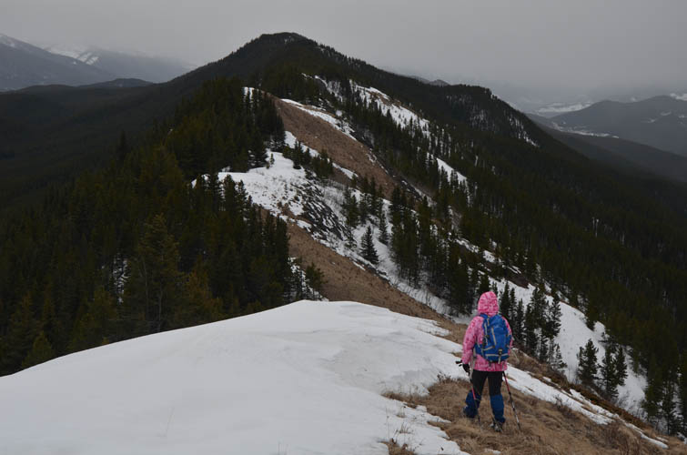
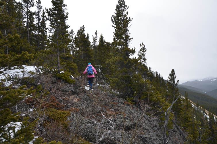
Further along the ridge, the “summit” is finally visible. It’s all treed though.
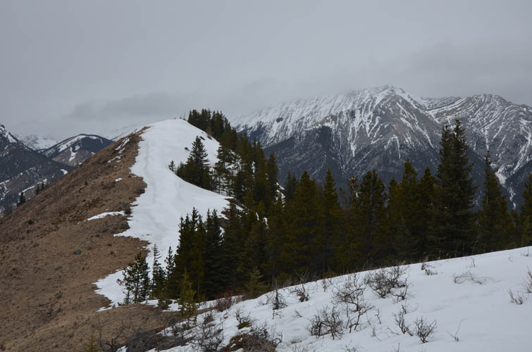
One of the rare views of Holy Cross Mountain to the NNE. The cloudy weather didn’t help today!
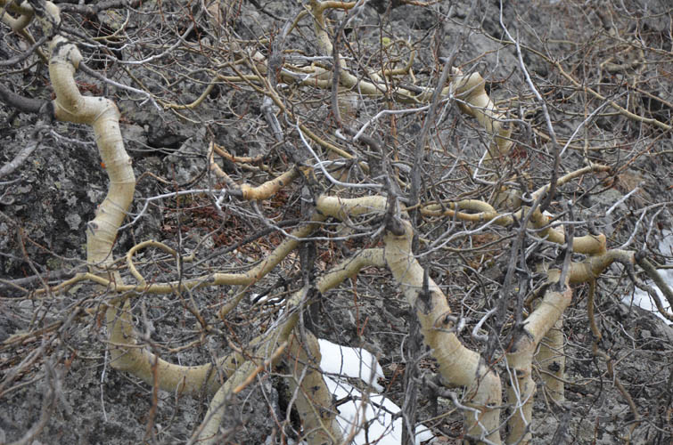
Funny-looking knolly shrubs along the wind-blasted western edge of the ridge.
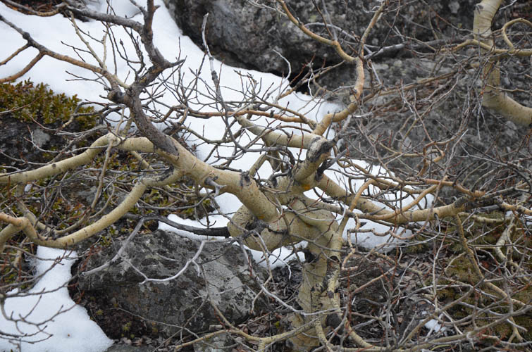
The shrubs can barely grow on the rocky terrain.
Wading through deep soft snow near the “summit”.
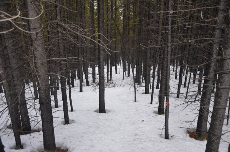
Most of the descent is through light forest with occasional flagging.