Kananaskis, AB, Canada
3 November 2024
With Willem, Sim and Wen
Easy winter summit with fantastic views
Having done Junction Hill and several other nearby objectives in the winter before, I knew it would be a great introduction to winter hiking for my friends. The great thing about Junction Hill is that you get to hike to a summit with minimal difficulties, but with all the enjoyment of high alpine views. It’s relatively short, allows for a loop route, and is easily accessible straight from the road without any bushwhacking. What more do you want!?
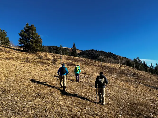
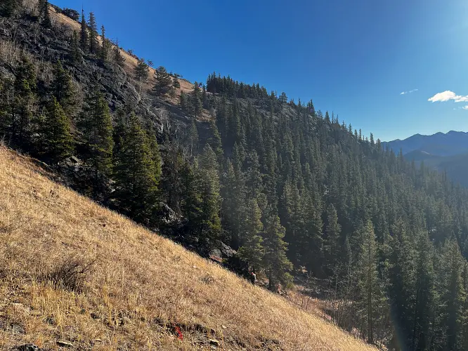
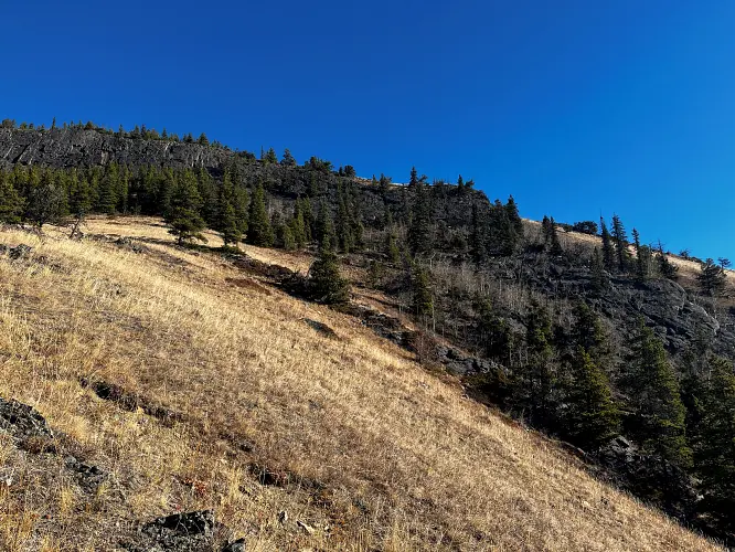
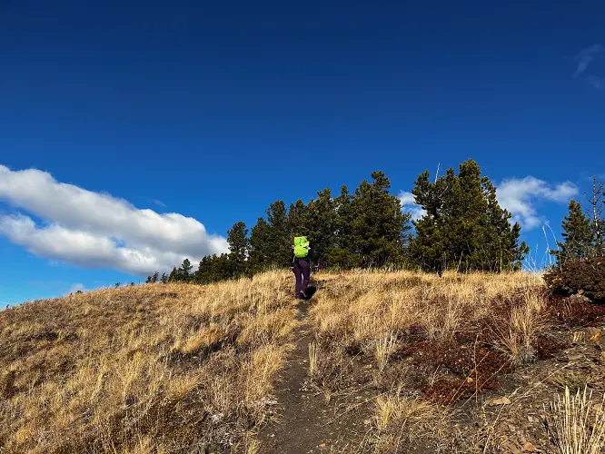
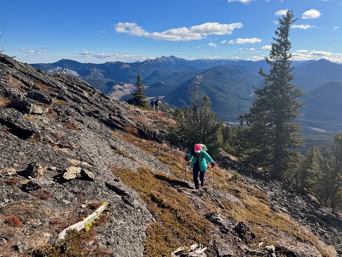
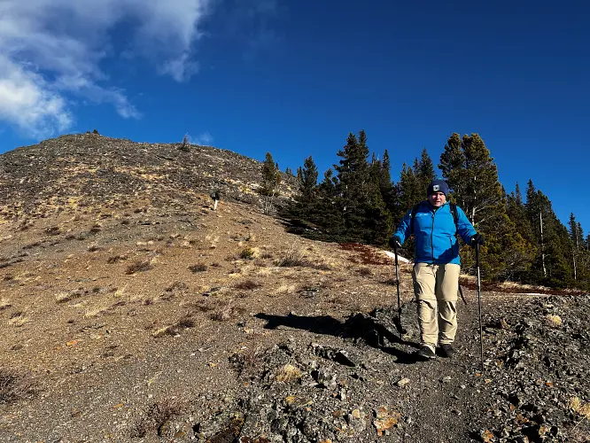
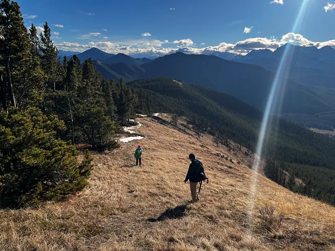
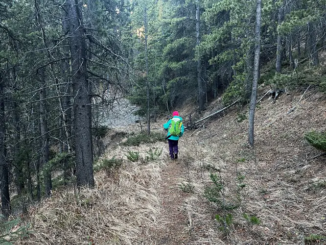
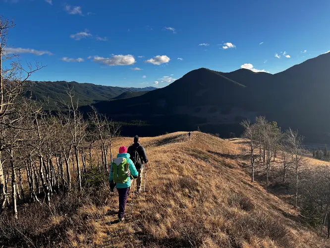
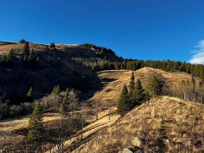
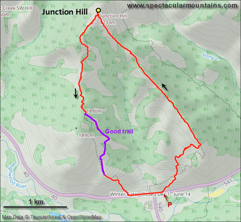
We parked a few hundred metres before the winter gate on the side of the road and just headed straight up the grassy hillside towards the northeast, aiming for a break in a prominent cliff that hugs the southeast ridge. Almost the entire hillside as seen from the road is sun-facing and thus mostly dry even when other nearby ridges and peaks are snow-clad. We easily walked up some steep, grassy hills with a few stands of trees here and there, to the break in the cliff which is marked by a few trees and a faint game trail that lands you right on top of the southeast ridge.
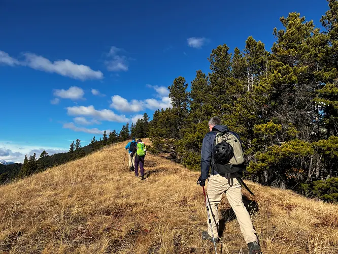
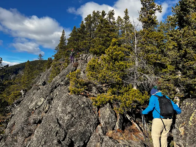
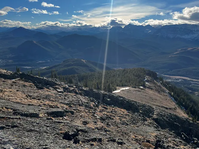
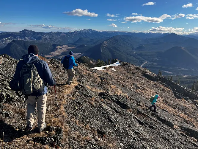
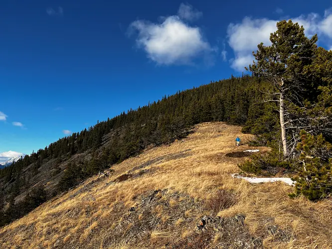
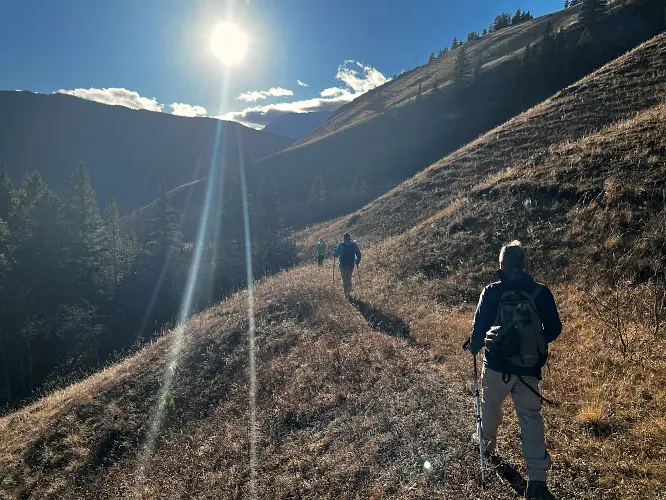
A minor trial follows the ridge to the summit, with plenty of opportunities to sit down and take a break in wind-sheltered spots along the way. Yes, it’s commonly quite windy in this area, so bring some extra layers and gloves even if it feels warm down by the road. We ran into one other couple and their dog, but otherwise had this small mountain to ourselves today.
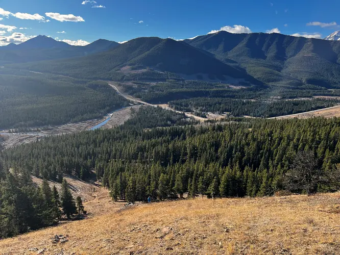
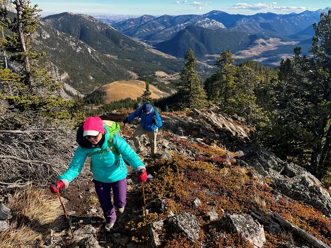
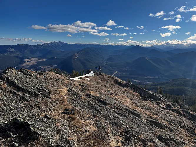
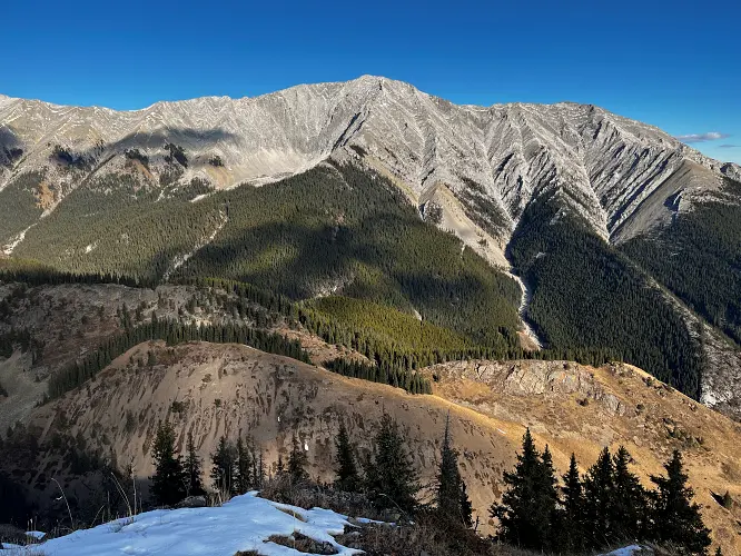
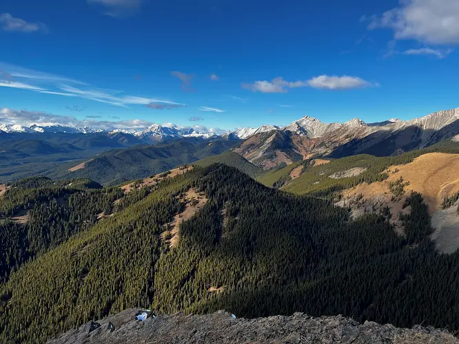
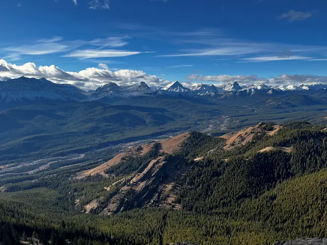
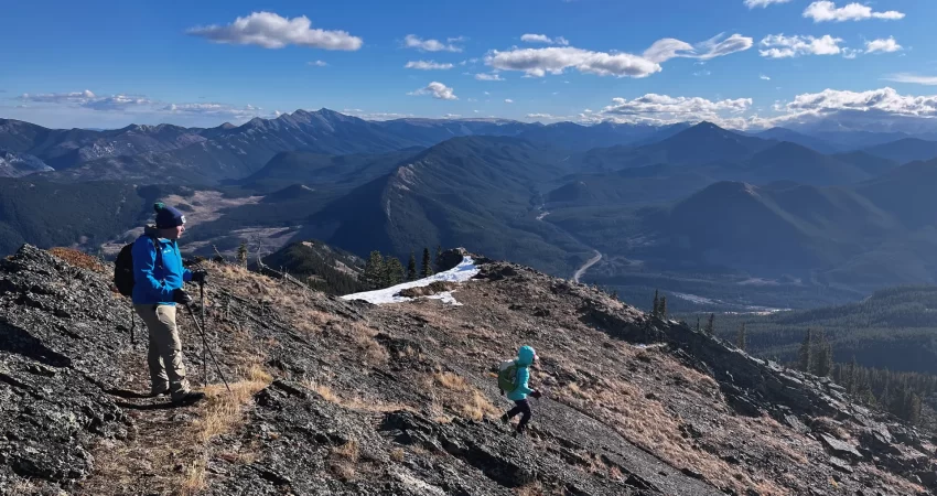
Considering the relatively low elevation of this “hill”, the summit views are quite amazing: The Continental Divide with Mount Armstrong and Baril Peak to the west steal the show, but Holy Cross Mountain, Mount Head, and Mist Mountain further north are also quite impressive.
Instead of returning the same way we took the south ridge on the descent. The faint trail here is intermittent, but about two thirds of the way down we linked up with an old exploration road that lazily snakes its way down the hillside, eventually fizzling out in open grassy slopes just above the road. A super straightforward and easy-going hike!
|
Elevation: |
2230 m |
|
Elevation gain: |
890 m |
|
Time: |
5.5 h |
|
Distance: |
9.0 km |
|
Difficulty level: |
Easy (Kane), T2 (SAC) |
|
Comments: |
Stats here are for counter-clockwise loop route. |
|
Reference: |
Own routefinding |
|
Personal rating: |
4 (out of 5) |
NOTE: This GPX track is for personal use only. Commercial use/re-use or publication of this track on printed or digital media including but not limited to platforms, apps and websites such as AllTrails, Gaia, and OSM, requires written permission.
DISCLAIMER: Use at your own risk for general guidance only! Do not follow this GPX track blindly but use your own judgement in assessing terrain and choosing the safest route. Please read the full disclaimer here.